







Hollersbach: Platte trail no. 935
Poziom trudności: T2
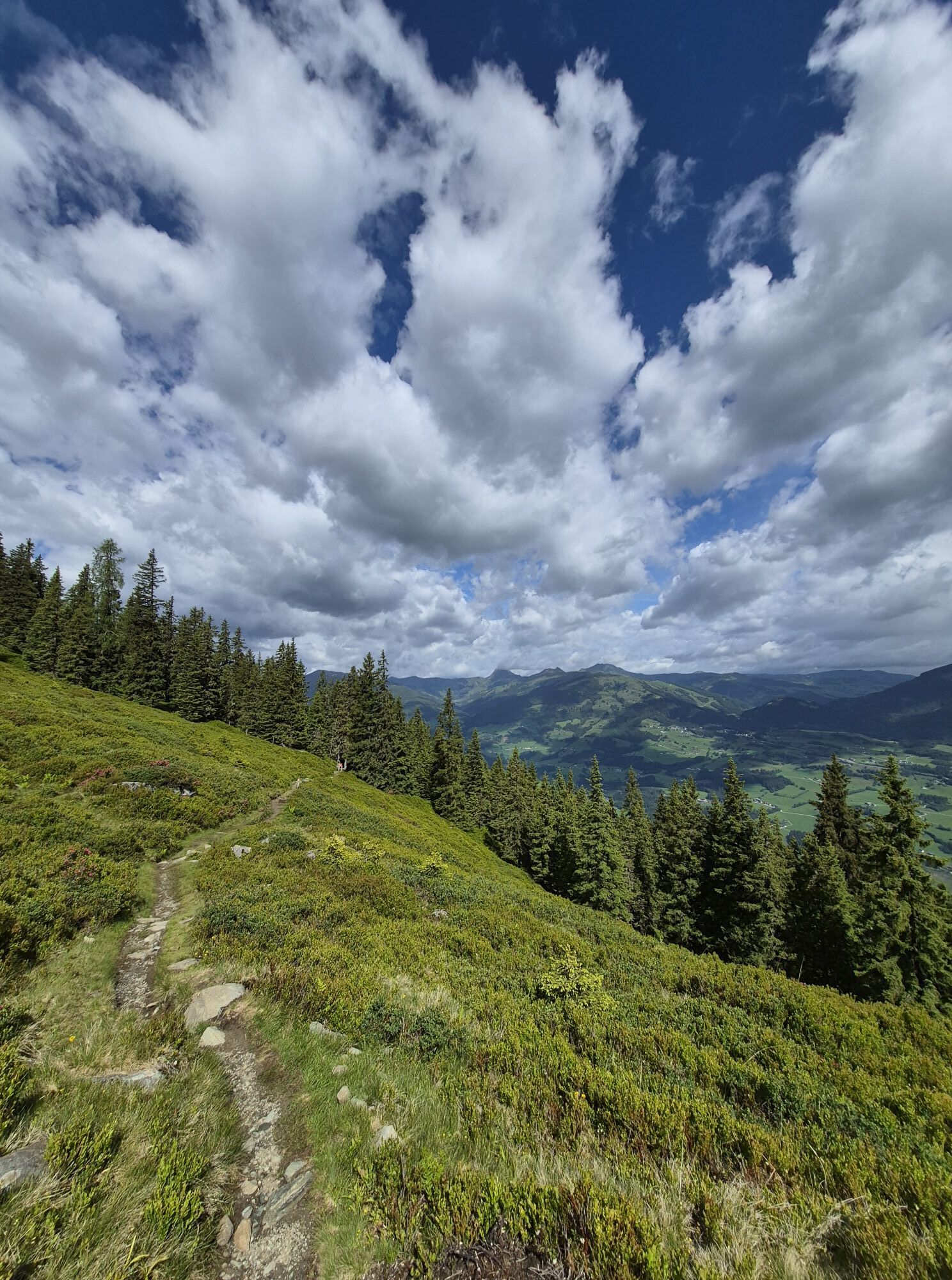
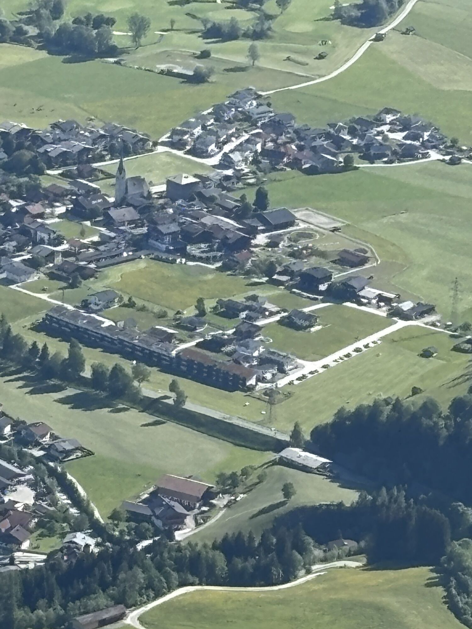
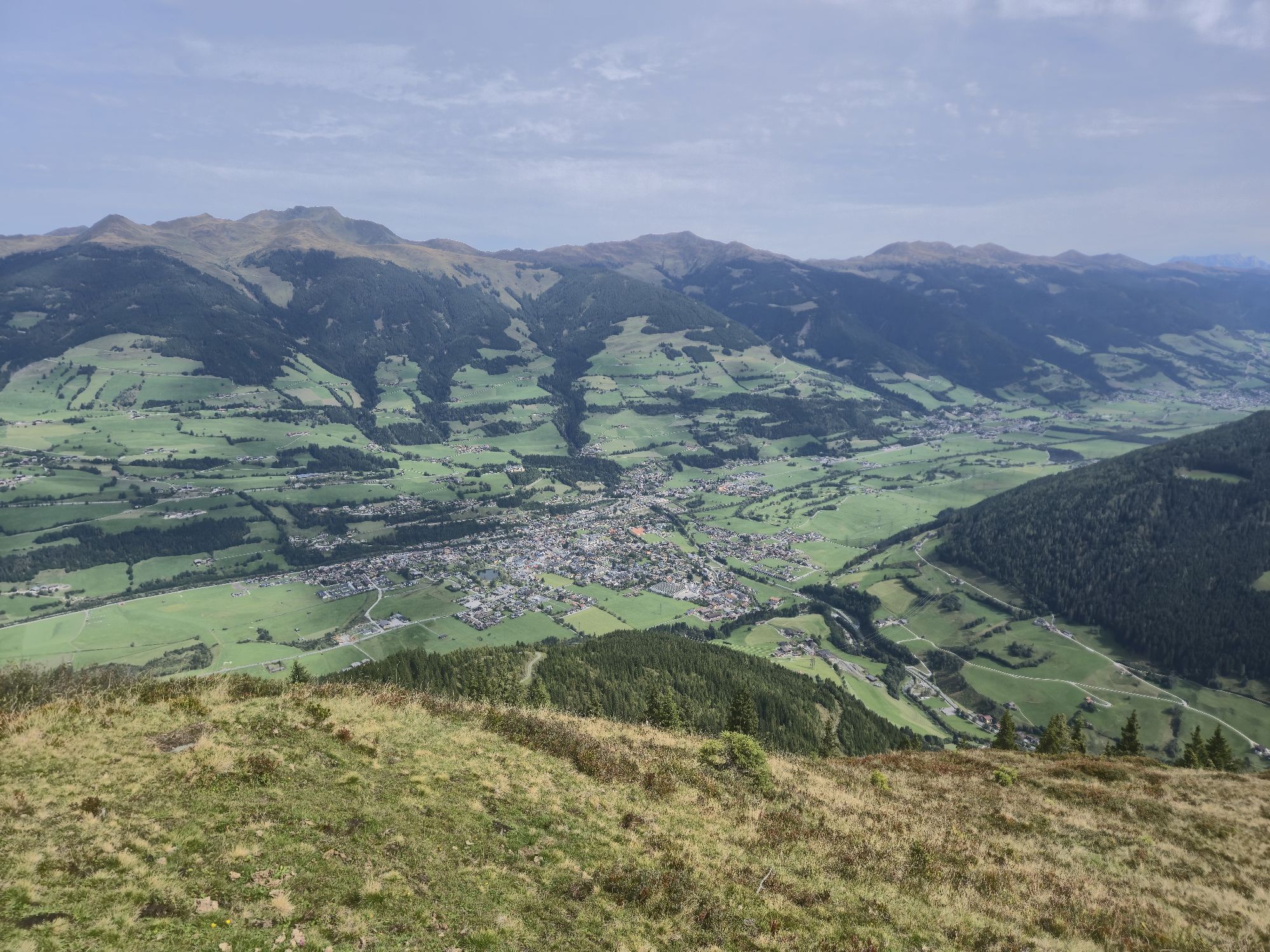
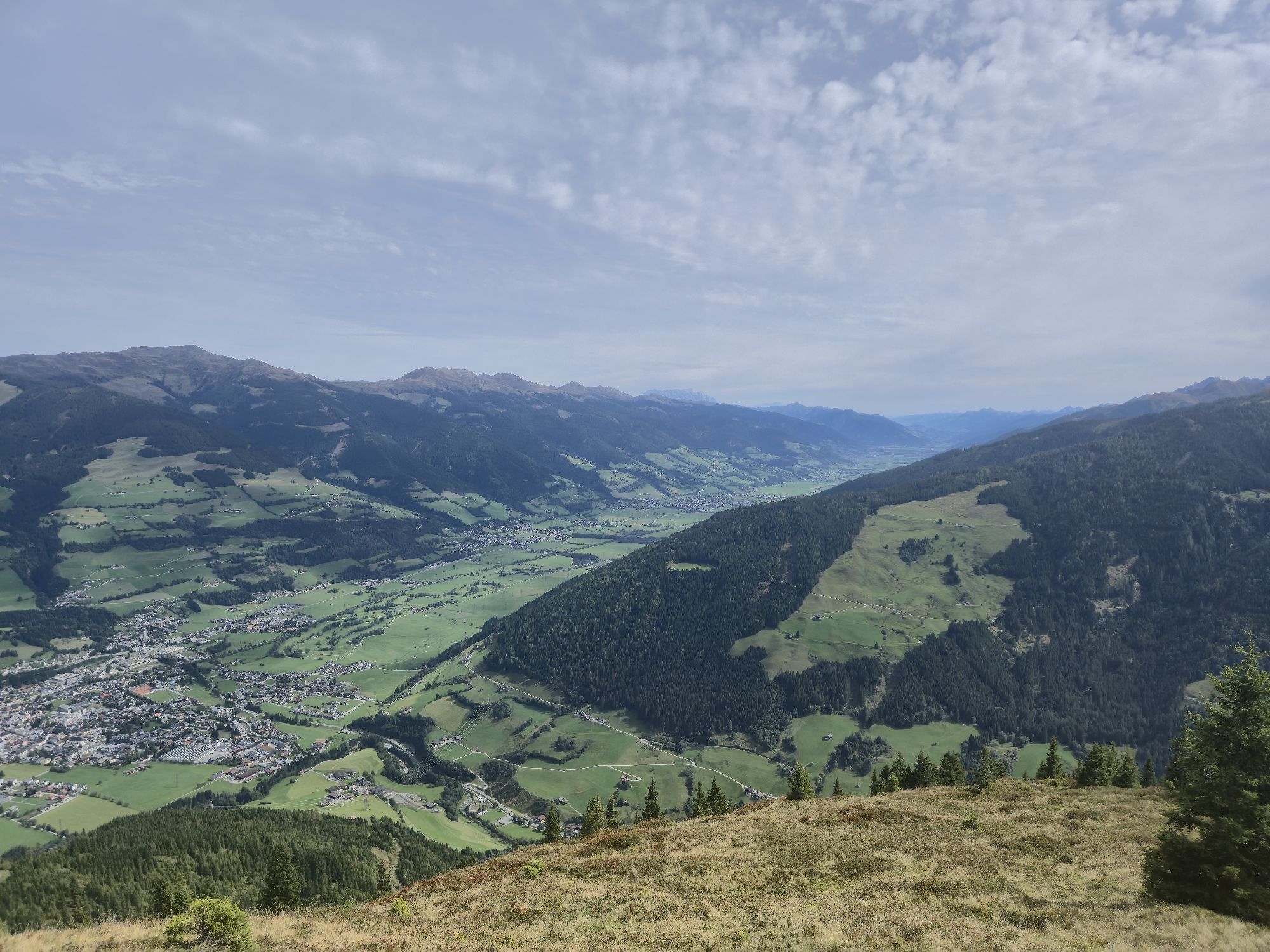
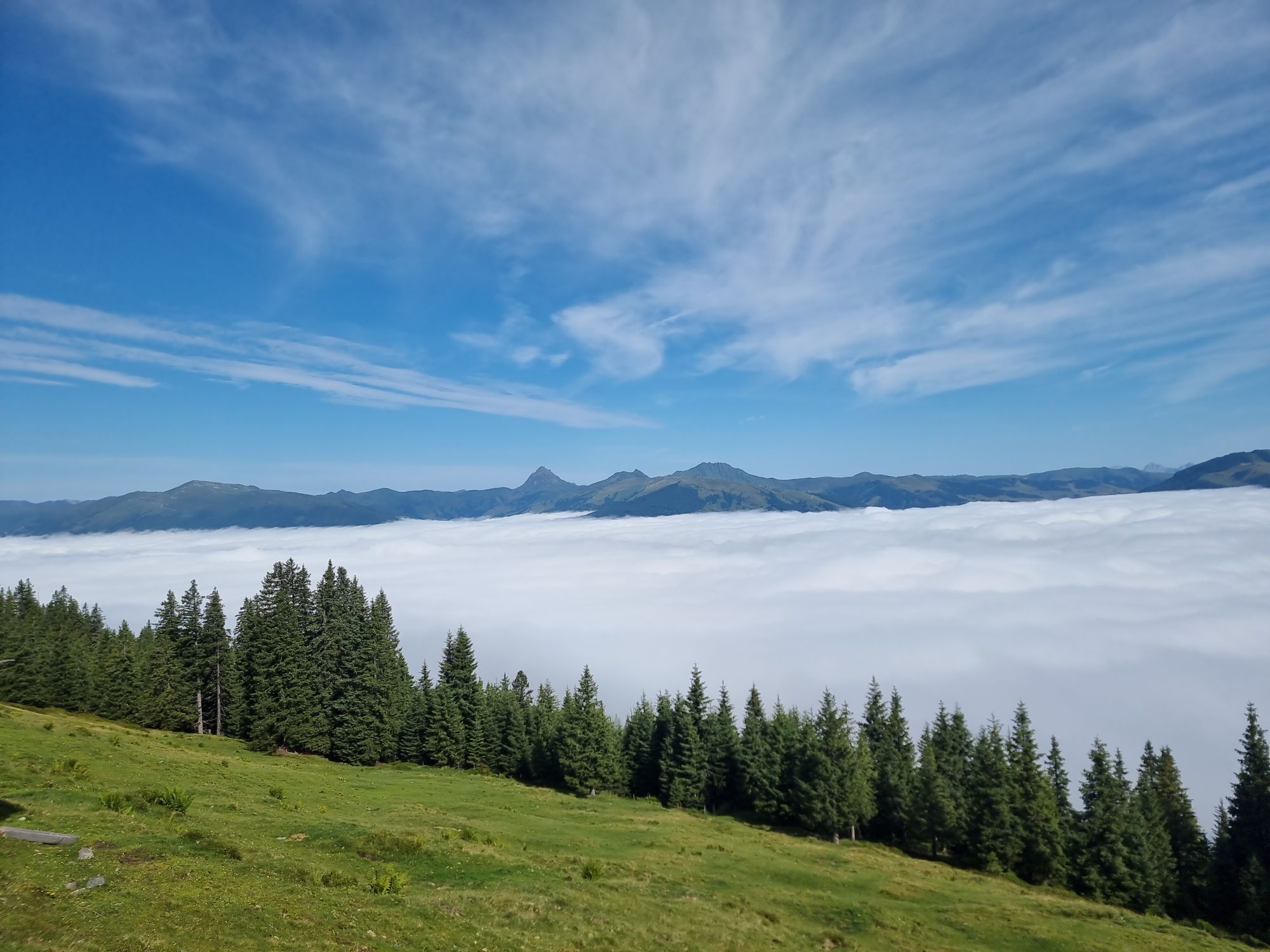
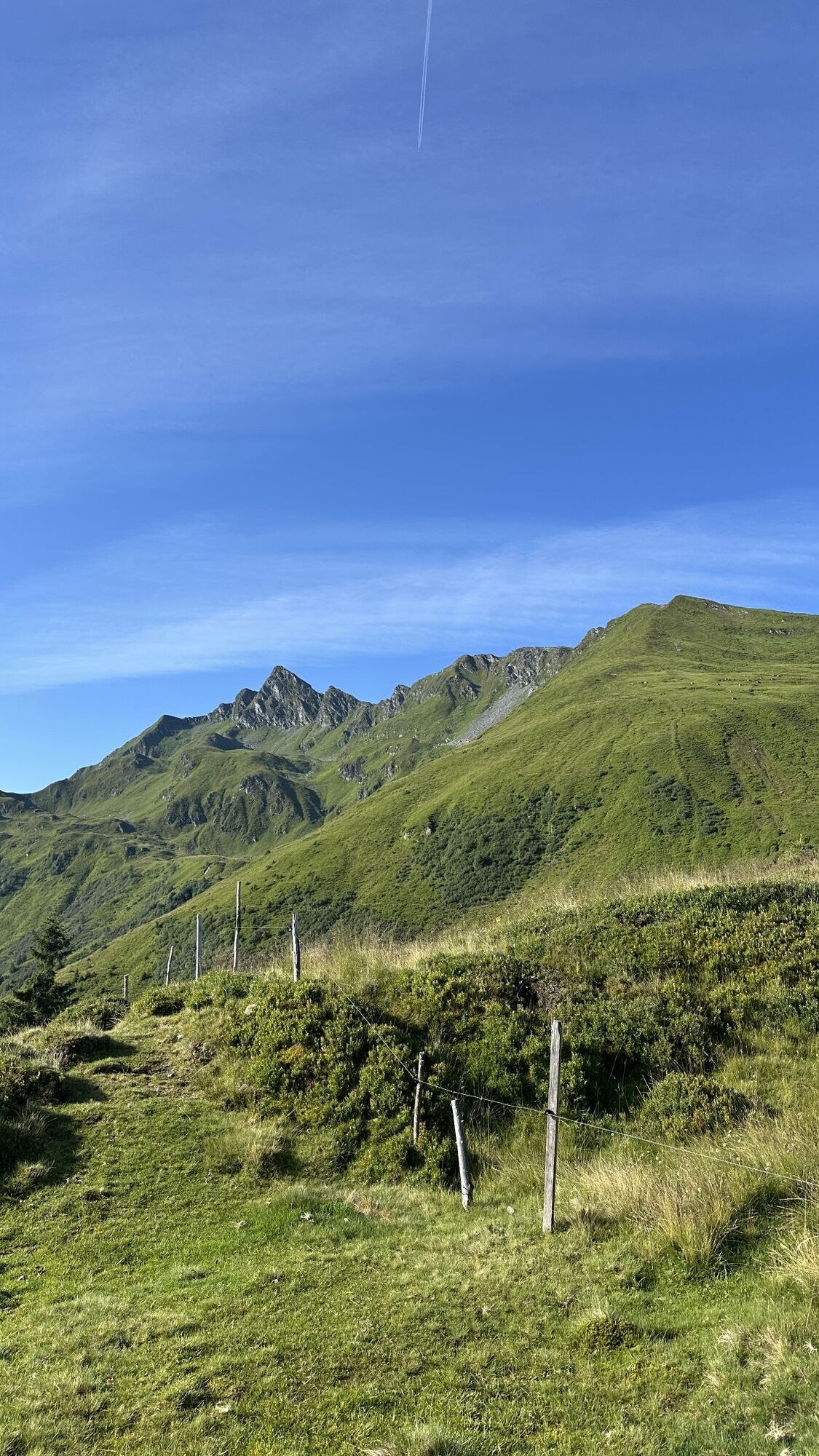
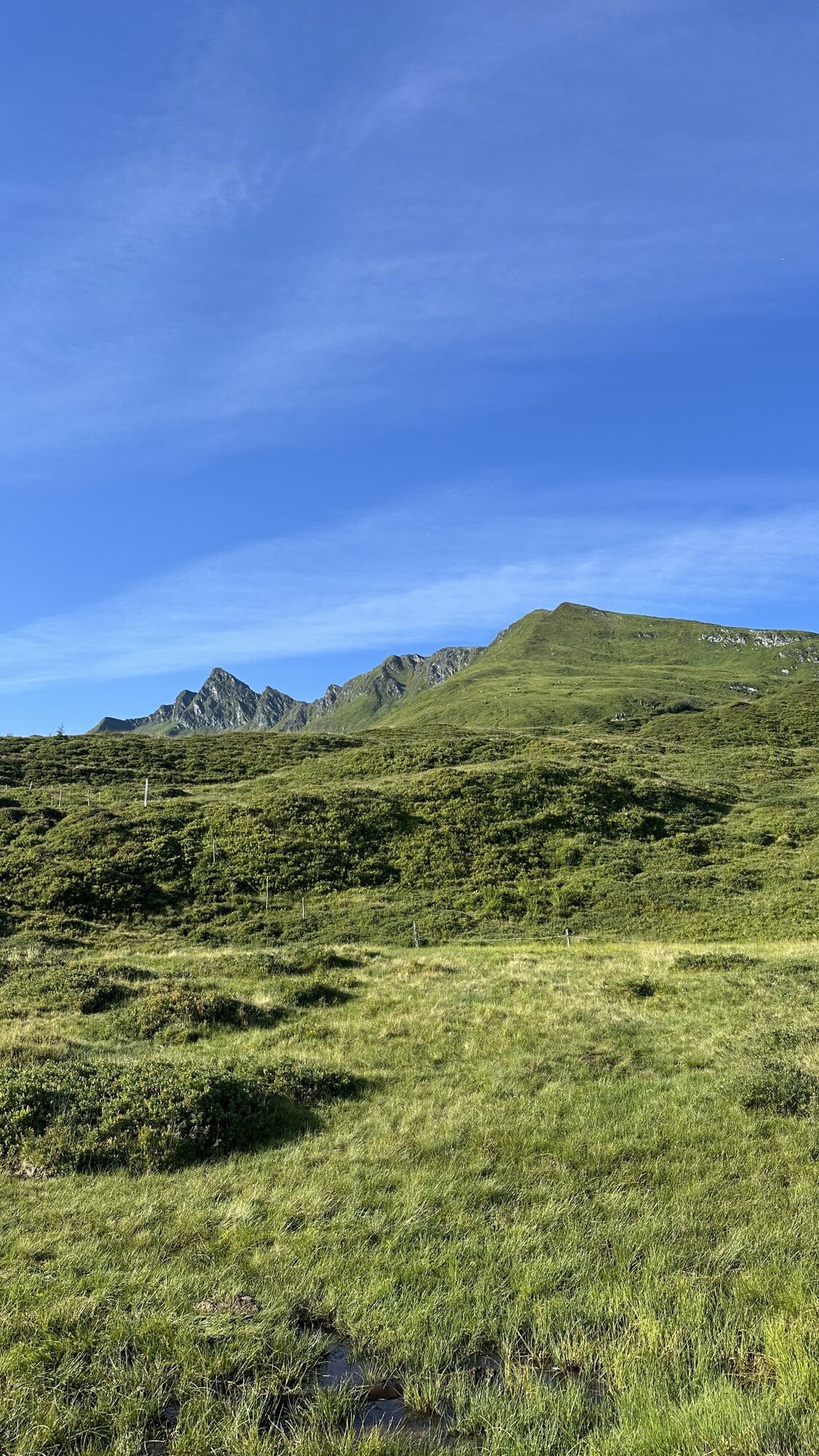
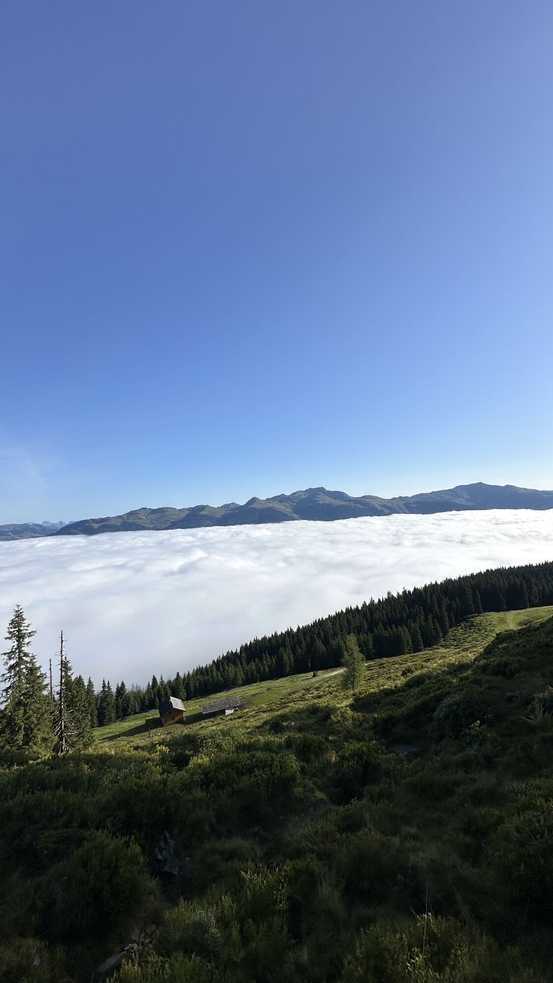
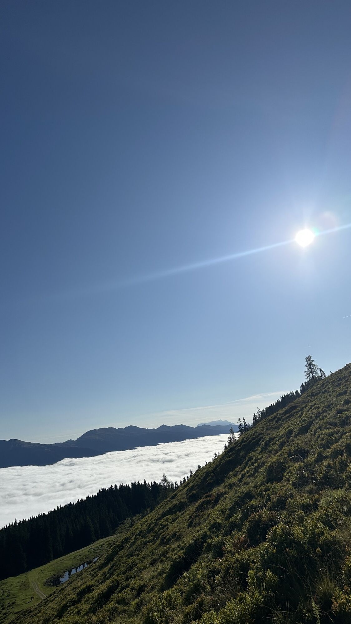
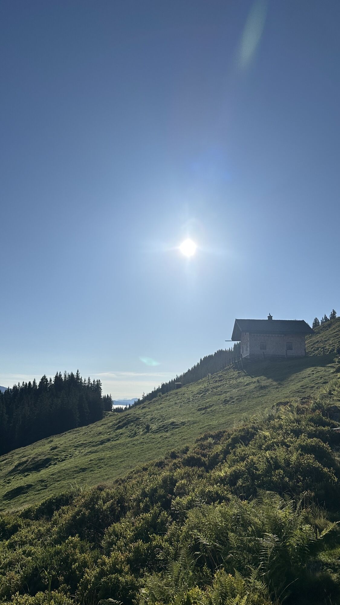
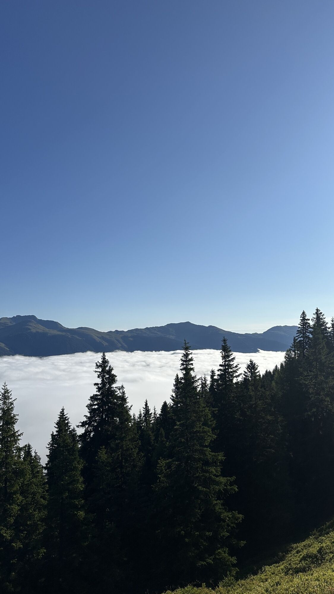
Did you know that the town of Mittersill is at an altitude of 789 m? The Mittersiller Platte is almost 1,000 meters higher, as our local mountain "the Platte" is at 1,787 m.

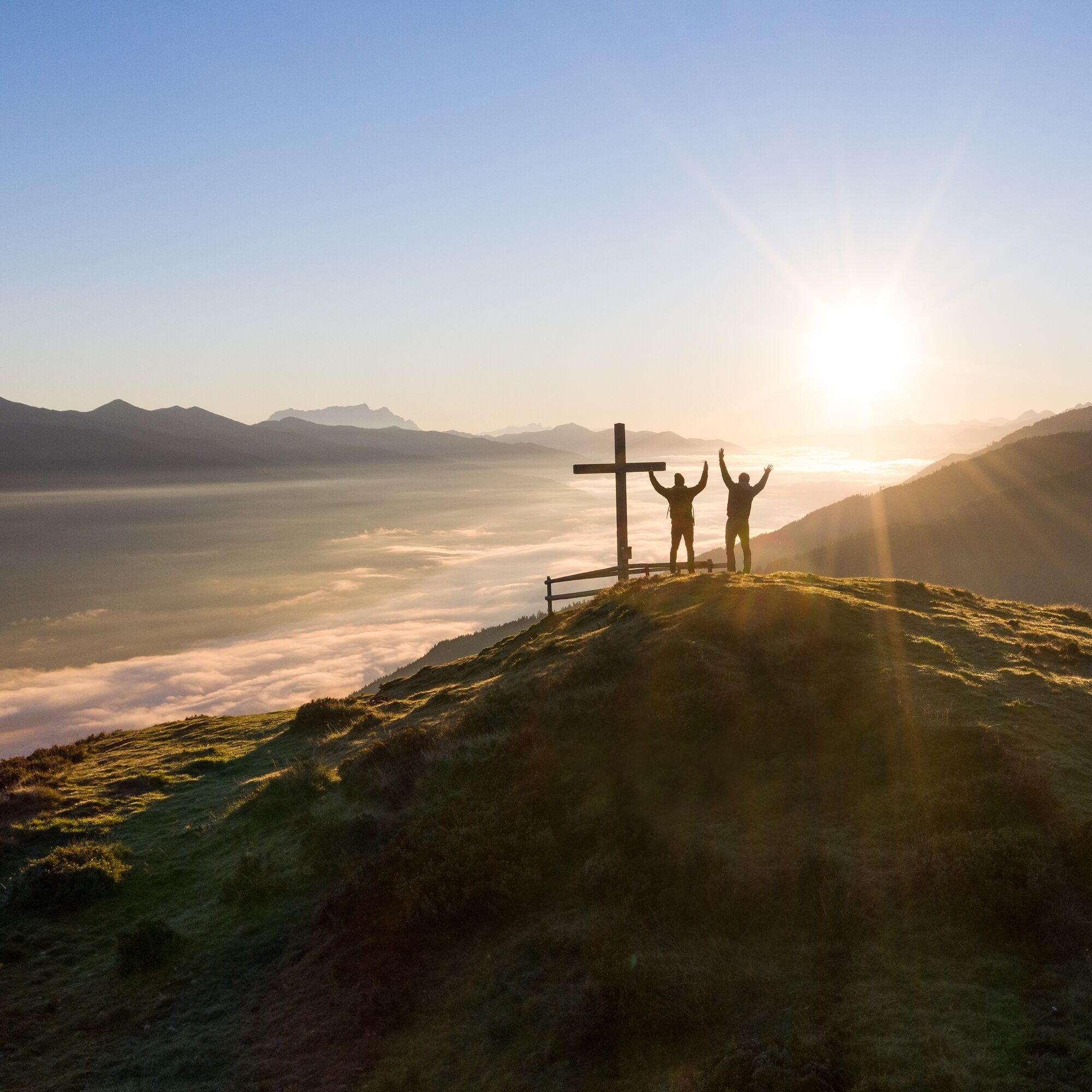
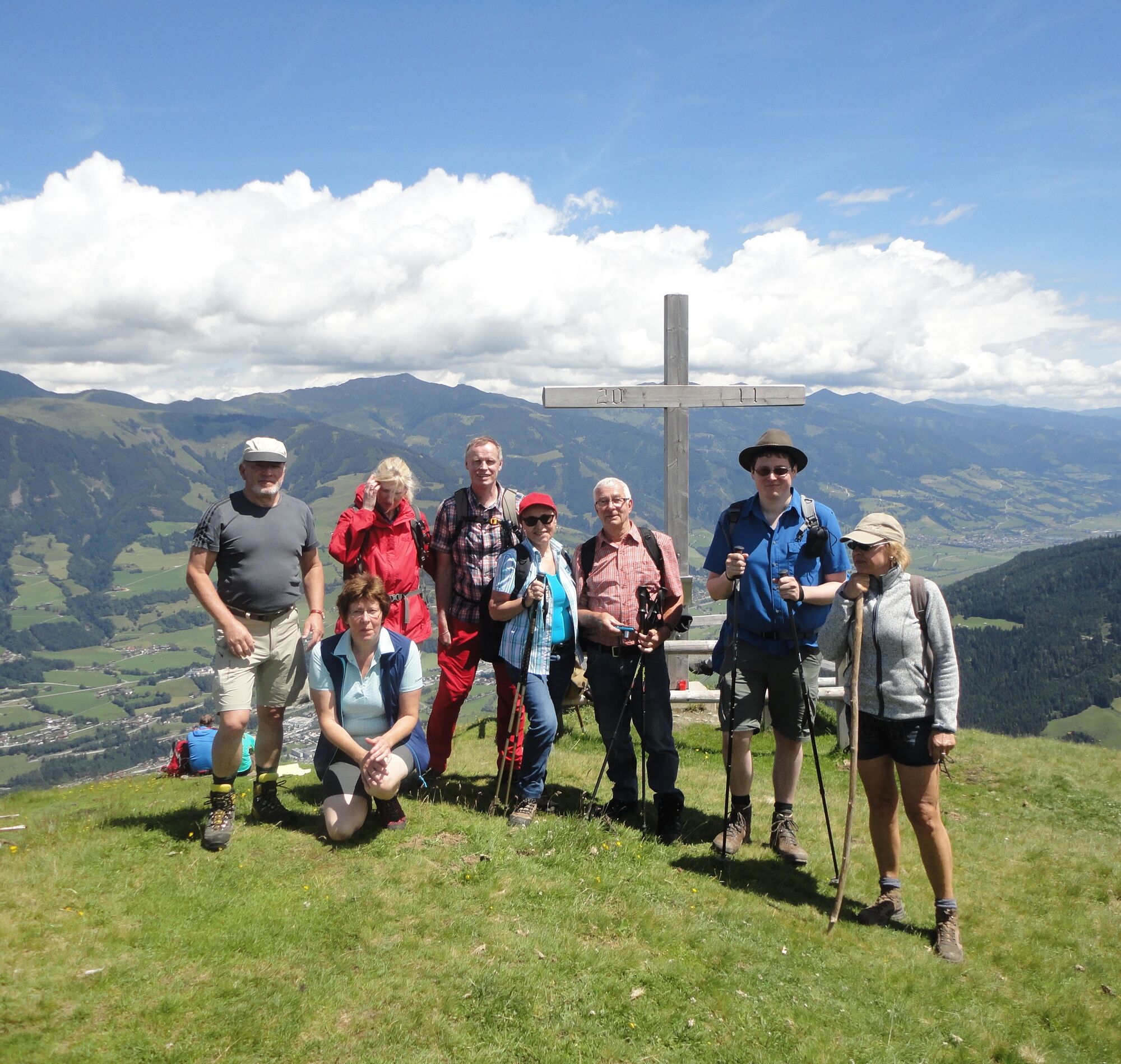
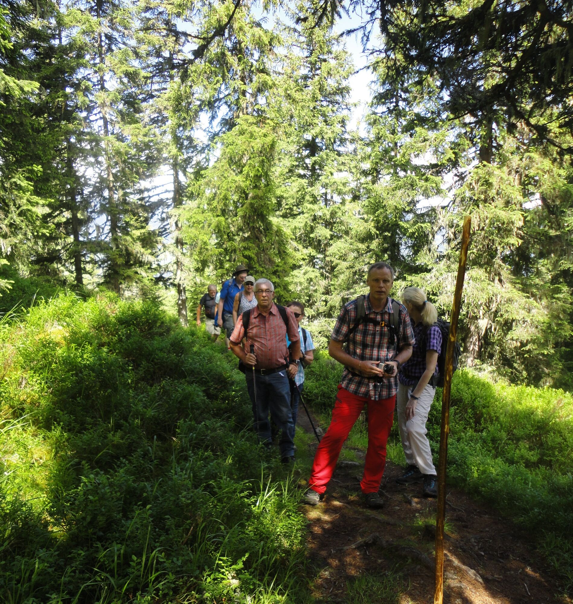

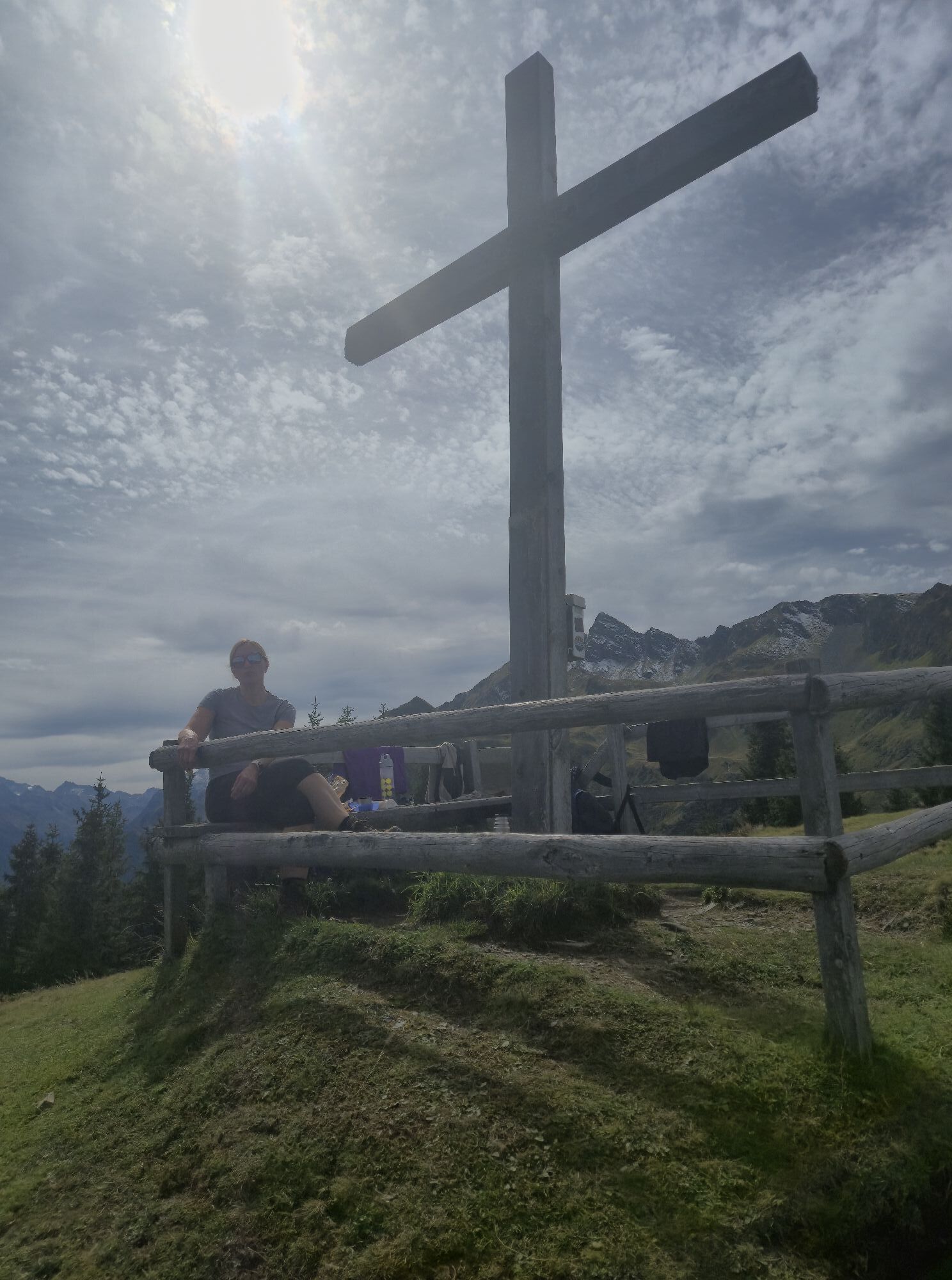
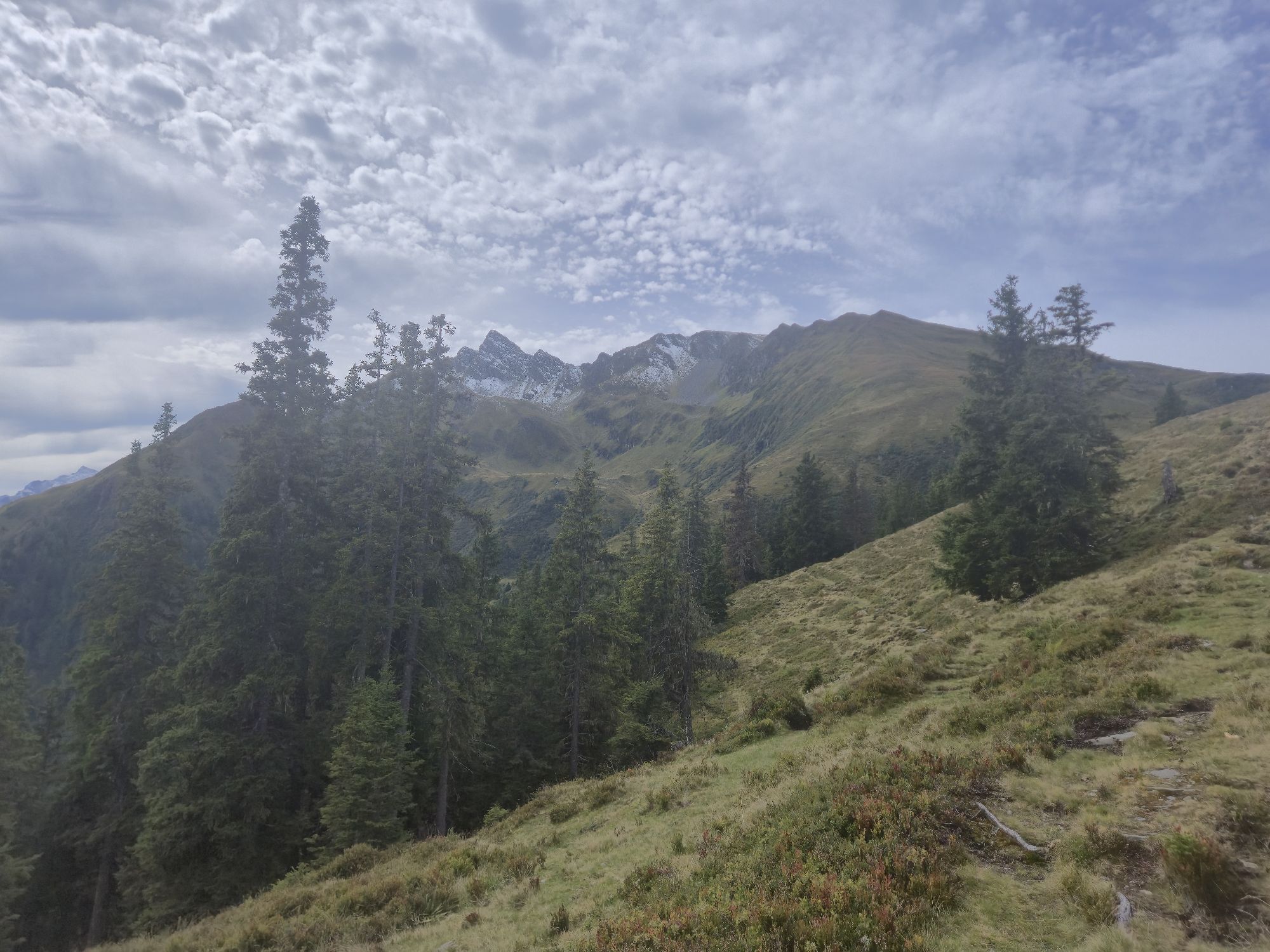
Hike from the Berghof in Hollersbach following trail no. 935 always uphill along the hiking path. After some time, the forest opens up and you reach the Pölsneralm. From there, the hiking path ascends once more. When you reach the top, you are on the ridge of the Mittersiller Platte. Now keep left and hike to the summit cross of the Mittersiller Platte.
Tak
Tak
Ankle-high hiking boots, weatherproof clothing, sufficient drinking water & snacks, hiking map required.
A basic surefootedness is necessary.
Drive to Hollersbach to the Berghof.
The Mittersill-Hollersbach-Stuhlfelden region is very well accessible by the Pinzgau local railway and ÖBB buses.
There are plenty of parking spaces available there.
T2
Mittersill Plus GmbH, Zeller Straße 2, 5730 Mittersill, Tel. +43(0) 6562 4292
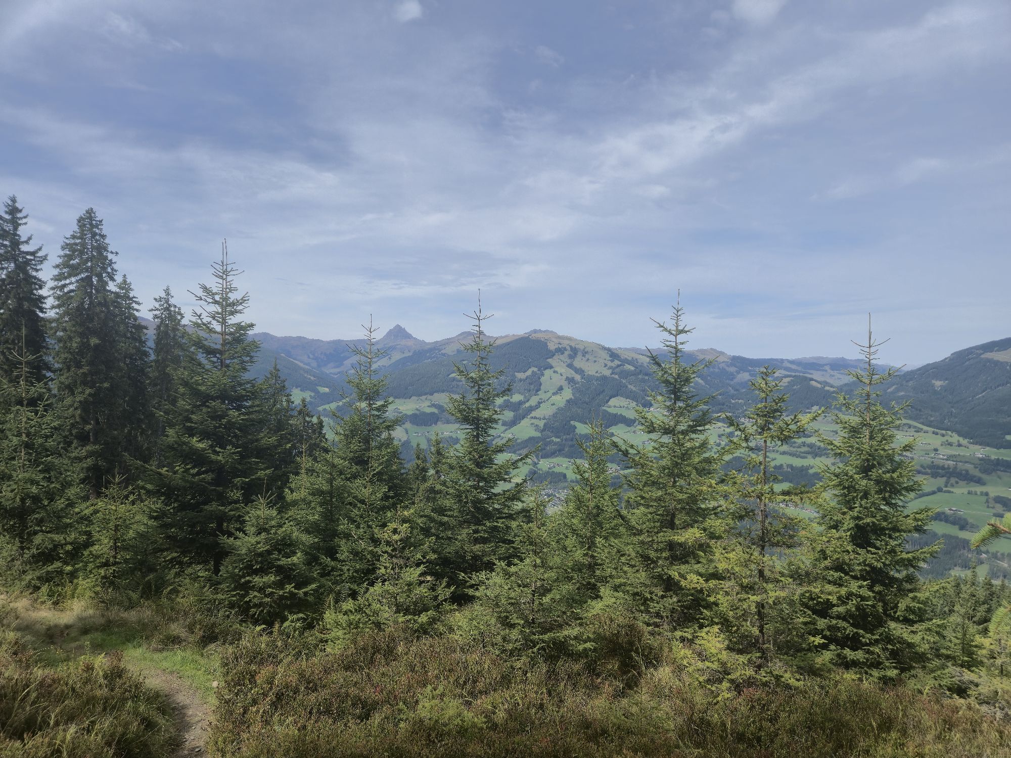
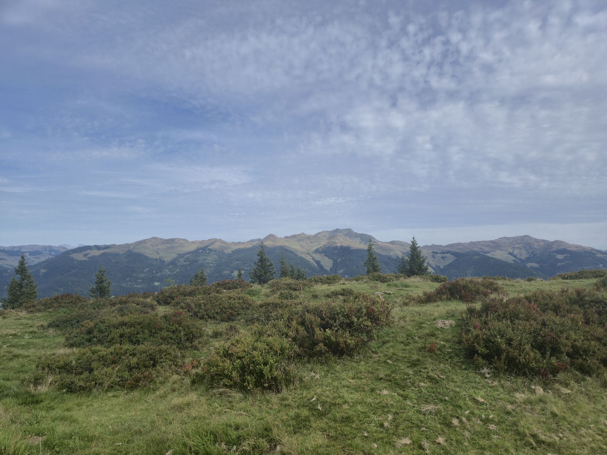
From the Mittersiller Platte, you have a fantastic panoramic view.
 Uzyskaj wgląd
Zawsze na żywo z ponad 9 500 kamer internetowych. bergfex Jako użytkownik Pro, możesz teraz zobaczyć odpowiednie kamery internetowe dla wielu wycieczek w aplikacji wycieczki od. Pozwala to na bezpośredni podgląd aktualnych warunków.
Uzyskaj wgląd
Zawsze na żywo z ponad 9 500 kamer internetowych. bergfex Jako użytkownik Pro, możesz teraz zobaczyć odpowiednie kamery internetowe dla wielu wycieczek w aplikacji wycieczki od. Pozwala to na bezpośredni podgląd aktualnych warunków.

Popularne wycieczki w okolicy
-
3,7
Smaragdwanderweg Habachtal/Bramberg
światłoWędrówka 7,17 km -
4,7
Hollersbach - Neue Fürther Hütte
Wędrówka 16,0 km -
3,8
Mittersill - Hintersee und Plattachsee
ciężkiWędrówka 9,90 km -
4,7
Tristkogel
ciężkiWędrówka 15,6 km -
4,7
Frühmesser
średniWędrówka 10,6 km -
3,9
Hollersbach: Pihapper Wegnr. 935
ciężkiWędrówka 12,8 km -
4,1
Habachtal bis zur Thüringer Hütte
Wędrówka 6,53 km -
4,9
Manlitzkogel
ciężkiWędrówka 13,4 km -
4,1
Via the Schösswendklamm to Hintersee
średniWędrówka 8,29 km -
4,0
Mittersill: ski tour Sonnalm
średniWycieczka narciarska 4,87 km
Wędrówki i tropienie


Nie przegap ofert i inspiracji na następne wakacje
Twój adres e-mail została dodana do listy mailingowej.





