







Stuhlfelden: Pirtendorfer Talboden educational trail
Poziom trudności: T1
The wetland complex of the Pirtendorfer Talboden, located on the northern bank of the Salzach, is a remnant of the once extensive swampy valley floor in the Upper Pinzgau. The area was formed by the activity...
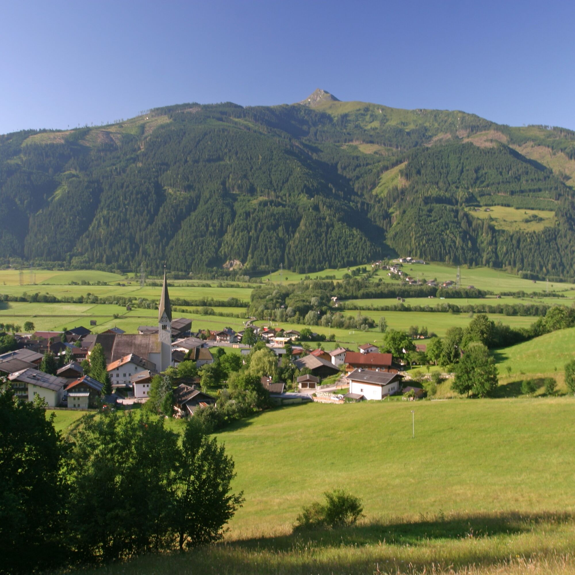
The wetland complex of the Pirtendorfer Talboden, located on the northern bank of the Salzach, is a remnant of the once extensive swampy valley floor in the Upper Pinzgau. The area was formed by the activity of the Salzach, which, divided into several arms and old waters, caused frequent flooding. After river regulation and the consequent drainage of further areas, one of these old arms remains as the wetland area of Pirtendorfer Talboden. Today, the over 10-hectare area consists of alder forests, wet bushes, reed stands at ponds, wet meadows, and the Salzach old arm. These wet meadows were used as horse pasture, the so-called "horse meadows", and are still grazed today. The Pirtendorfer Talboden and the wetlands in its surroundings host a species-rich, characteristic animal and plant life. Particularly rare plants include the flesh-red orchid, hemlock water-dropwort, and laurel willow.


From Mittersill take the federal road to Stuhlfelden - turn right before Pizzeria Hörfarter - park the car - walk straight along the asphalt road - keep left - turn onto the gravel path - cross the railway track - turn left onto the Pirtendorfer Talboden educational trail
Tak
Light hiking shoes required.
No safety instructions required.
Coming from Mittersill, take the Gerlos federal road to Stuhlfelden. On the right side of the road is
Pizzeria Hörfarter. Your route starts there.
The Mittersill-Hollersbach-Stuhlfelden region is very well accessible by the Pinzgau local railway and ÖBB buses. A train stop is located directly at the entrance to the Pirtendorfer Talboden.
There is ample parking at Pizzeria Hörfarter in Stuhlfelden.
T1
Mittersill Plus GmbH, Zeller Straße 2, 5730 Mittersill, Tel. +43(0) 6562 4292
Dining options at Pizzeria Hörfarter, Dorfgasthof Schlösslstube, Gasthof Flatscher, ...
Popularne wycieczki w okolicy
-
4,1
Maurerkogel (Top)
Wędrówka 10,5 km -
4,7
Hollersbach - Neue Fürther Hütte
Wędrówka 16,0 km -
3,9
Mittersill - Hintersee und Plattachsee
ciężkiWędrówka 9,90 km -
4,7
Panorama route 3 peaks and 2 lakes
średniWędrówka 7,21 km -
4,7
Tristkogel
ciężkiWędrówka 15,6 km -
5,0
10D Hochsonnbergrunde
średniMountainbike 26,4 km -
3,9
Hollersbach: Pihapper Wegnr. 935
ciężkiWędrówka 12,8 km -
4,9
Manlitzkogel
ciężkiWędrówka 13,4 km -
4,1
Via the Schösswendklamm to Hintersee
średniWędrówka 8,29 km -
4,0
Mittersill: ski tour Sonnalm
średniWycieczka narciarska 4,87 km
Wędrówki i tropienie


Nie przegap ofert i inspiracji na następne wakacje
Twój adres e-mail została dodana do listy mailingowej.





