






e-Bike Tour - Proneben Round (Tour 5)
Poziom trudności: 1
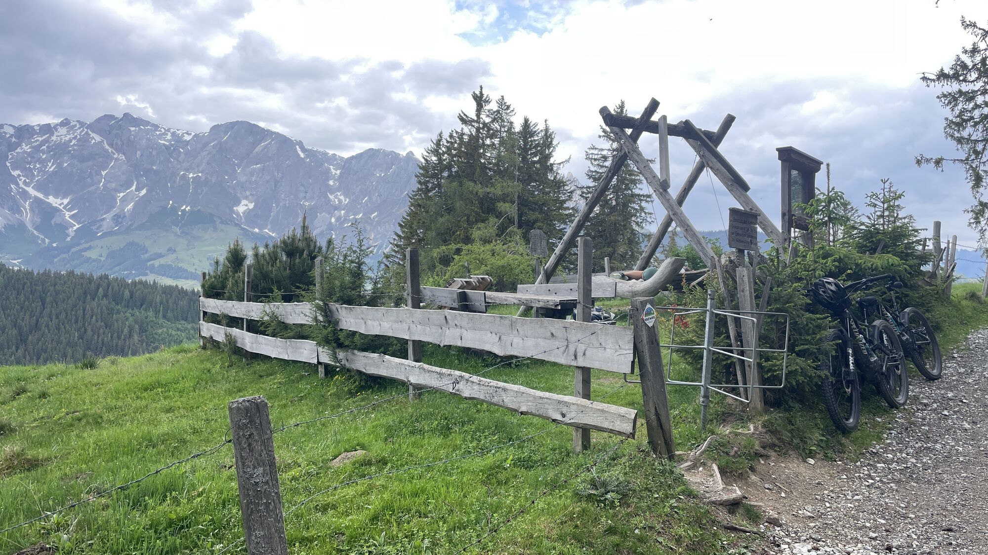
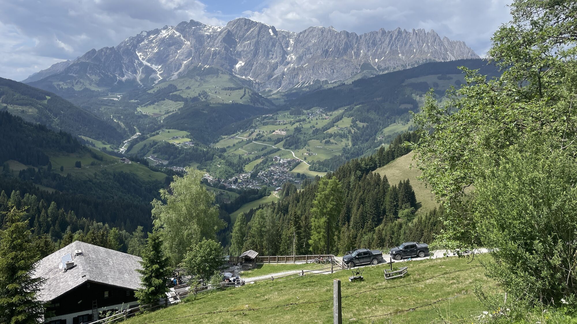
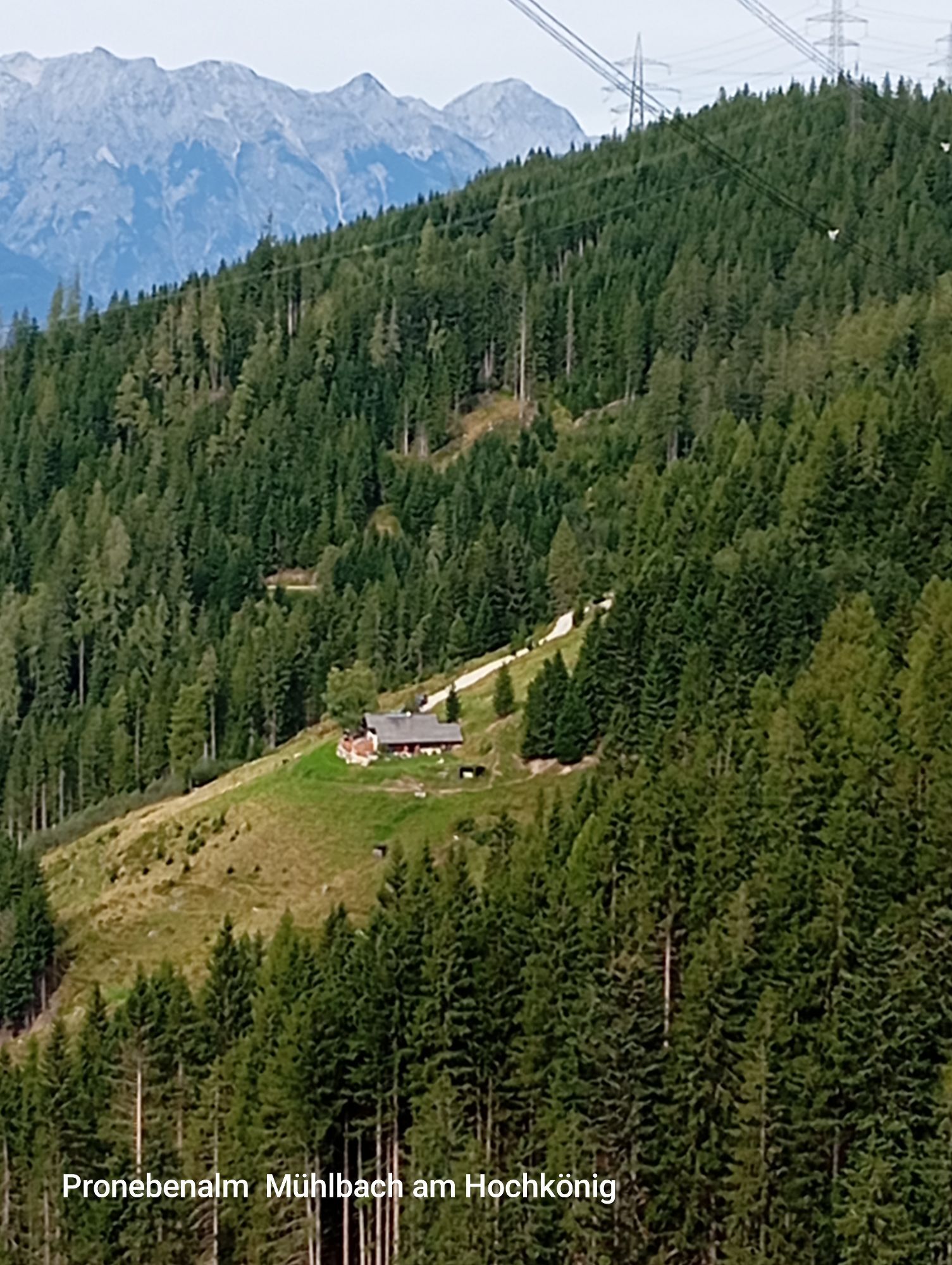

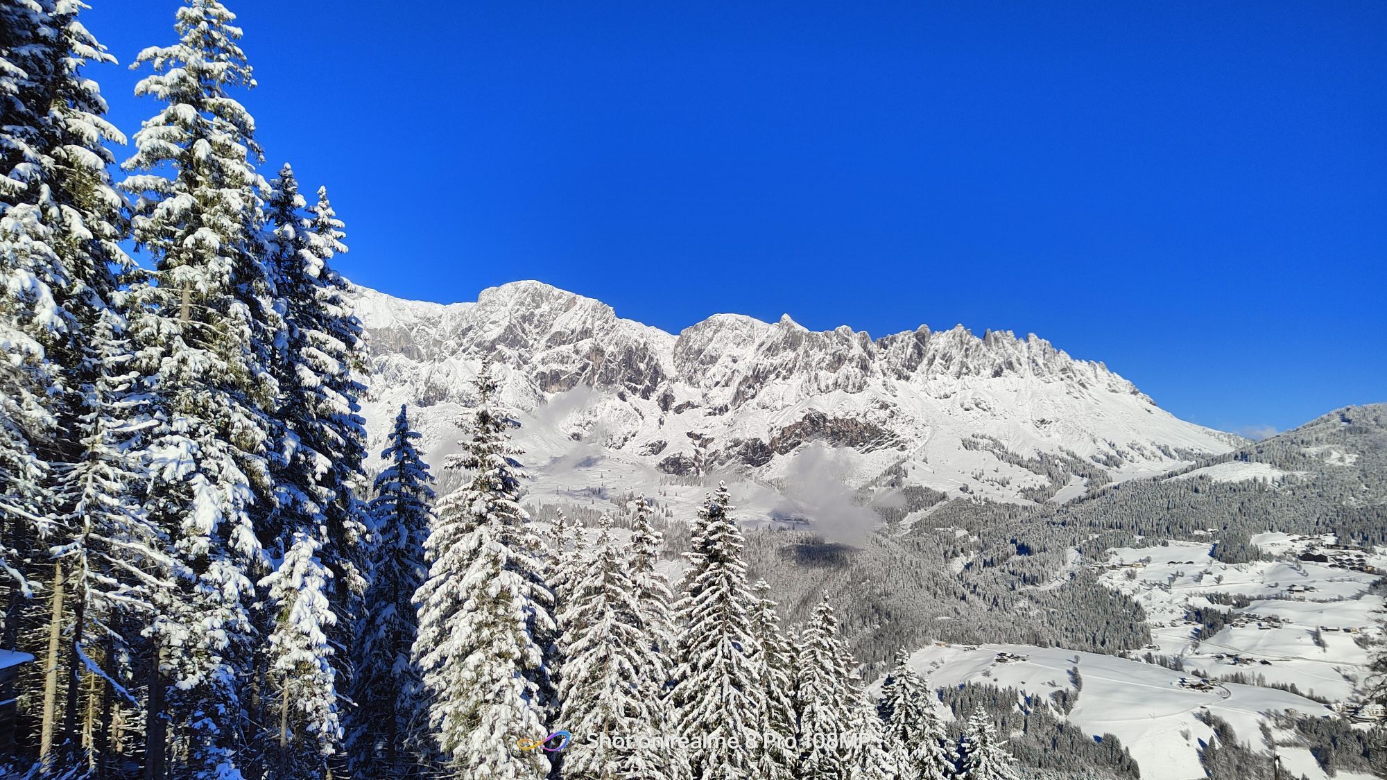
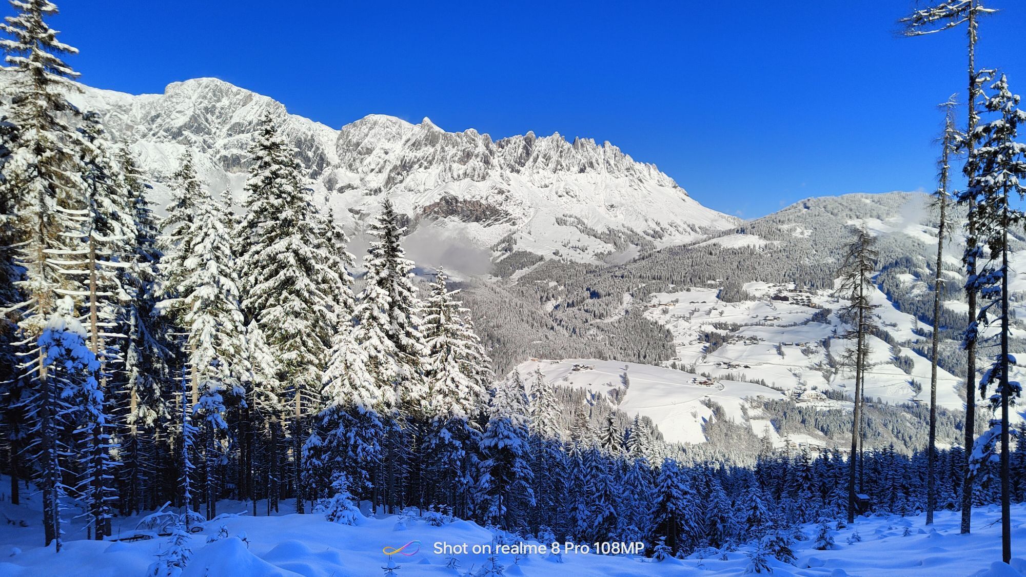
This bike tour is an exciting challenge for anyone with a solid basic fitness level. With a distance of 40 km and an ascent of up to 1000 metres in altitude, it is perfect for riders who want to tackle...
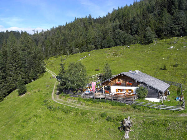
This bike tour is an exciting challenge for anyone with a solid basic fitness level. With a distance of 40 km and an ascent of up to 1000 metres in altitude, it is perfect for riders who want to tackle steep climbs. The route can be completed in around 4 hours and requires both fitness and technical ability. Enjoy the varied landscape and exciting trails as you put your skills to the test! The Pronebenalm rewards you with a breathtaking view of the charming mountain village of Mühlbach and the majestic Hochkönig massif - a real treat for every mountain biker!
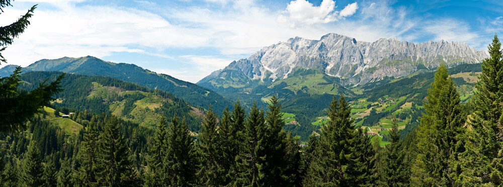
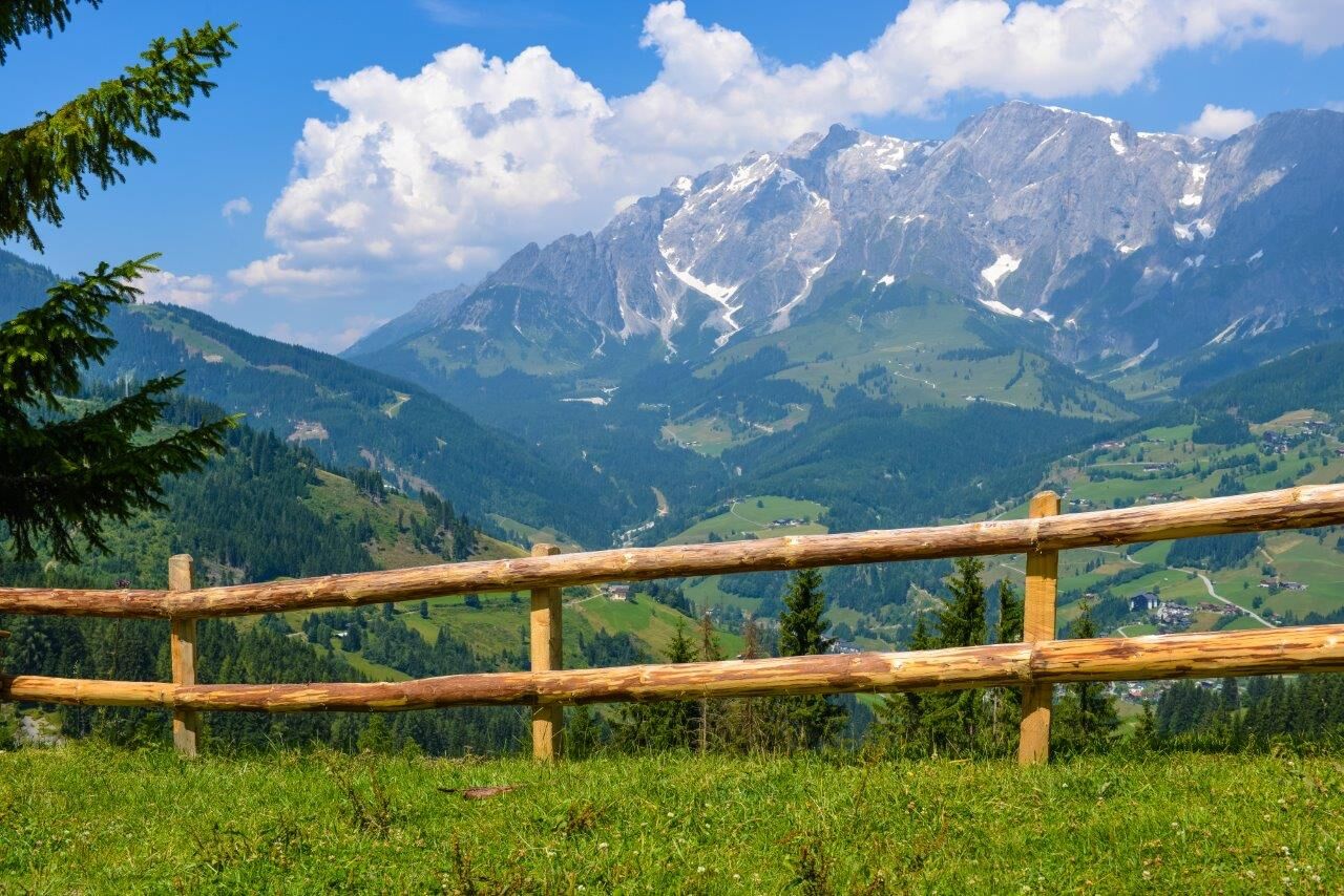

From the centre of Mühlbach (eMTB filling station at the Bauer bakery - pastry shop - café), cycle along the main road (B 164) in the direction of Bischofshofen. After approx. 1.5 km, turn right onto the ‘Bliem’ farm track (trail no. 81) and follow the signs to the Pronebenalm. Then take trail no. 79 to the Althaussattel. From here, you can return to the centre of Mühlbach via the Brennermaiß (trails no. 79, 80 and 80a). The entire route is signposted with yellow MTB signs.
Controlled bike equipment with helmet
Sunglasses
sun protection
rain protection
Drinks and a small snack
Necessary medication
First aid kit
Bike map
Fair play!
Only ride on marked paths! Close all gates, barriers and pasture gates! Comply with the road traffic regulations! Only overtake at walking pace! Behave respectfully towards other nature users and forestry and hunting staff! Show consideration for animals! Do not leave any rubbish in the countryside! Act responsibly! weather forecasts: Check the current weather conditions at: zamg.at or www.uwz.at.Emergency numbers: Alpine emergency number: 140, International emergency number: 112, Rescue: 144
Arriving from Salzburg: Take the A10 motorway to the Bischofshofen exit, then take the B311 in the direction of Bischofshofen. Follow the Hochkönig federal road/B164 to Mühlbach.
Coming from Innsbruck/ Kufstein: On the Loferer Straße/B178 towards St. Johann i.T., then on the Hochkönig Bundesstraße/B164 via Saalfelden and Maria Alm to Mühlbach.
www.hochkoenig.at/wanderbus
Bus Nr. 591 from Bischofshofen to Mühlbach
ÖBB Scotty
Parking opposite the fire department.
1
Further information on bike tours and activities in the Hochkönig region:
For detailed information about hiking maps, the opening hours of the cable cars and the huts and mountain pastures in summer, we recommend you visit the local service centre. There you will not only receive the hiking map, but also valuable tips on the best hiking routes and current conditions.
Opening hours of the mountain lifts in summer: The mountain lifts offer different opening hours during the summer months, which can vary depending on the weather and season. Please check the current operating times in advance.
Opening hours of huts & mountain huts in summer: The huts and mountain huts in the region are ideal rest stops for hikers. Here, too, opening hours may vary depending on the season and day of the week. Ask the friendly hosts for advice about the offers and specialities on site.
For more information, please visit our website: www.hochkoenig.at.
If you have any questions or require specific information, please do not hesitate to contact us:
- E-mail: region@hochkoenig.at
- Telephone: +43 (0)6584 20388
We look forward to helping you and hope you enjoy exploring the beautiful Hochkönig hiking region!
Don't miss out on the Brettljause at the Pronebenalm!
Kamery internetowe z trasy
Uzyskaj wgląd
Zawsze na żywo z ponad 9 500 kamer internetowych. bergfex Jako użytkownik Pro, możesz teraz zobaczyć odpowiednie kamery internetowe dla wielu wycieczek w aplikacji wycieczki od. Pozwala to na bezpośredni podgląd aktualnych warunków.
Popularne wycieczki w okolicy
-
4,9
Großarl: Aualm - Liechtensteinkopf - Aukopf - Schuhflicker - Schuhflickersee
średniWędrówka 5,84 km -
4,8
Summit stormer route Lauskopf
ciężkiWędrówka 8,16 km -
4,8
Summit storming route Taghaube
ciężkiWędrówka 6,25 km -
4,7
Großarl: Mooslehenalm – Niggeltalalm – Viehhausalm
średniWędrówka 5,44 km -
4,7
About the "Four Huts circular route" to Windraucheggalm
średniWędrówka 10,1 km -
4,6
Panorama hike to the Hochkeil
średniWędrówka 6,07 km -
3,6
Wanderung zur Ostpreußenhütte in Werfen (1.630 m)
średniWędrówka 11,2 km -
4,6
Großarl: Saukaralm - Saukarkopf - Gerstreitalm
średniWędrówka 9,39 km -
4,8
Highlight Kitzlochklamm Classic round
średniWędrówka 2,02 km -
4,9
Hochkönig - Gipfel der Gefühle - Matrashaus
ciężkiWędrówka 20,9 km
Wędrówki i tropienie


Nie przegap ofert i inspiracji na następne wakacje
Twój adres e-mail została dodana do listy mailingowej.





