







City of Salzburg route from Vigaun (Bad Vigaun-Salzburg city along the Salzach)
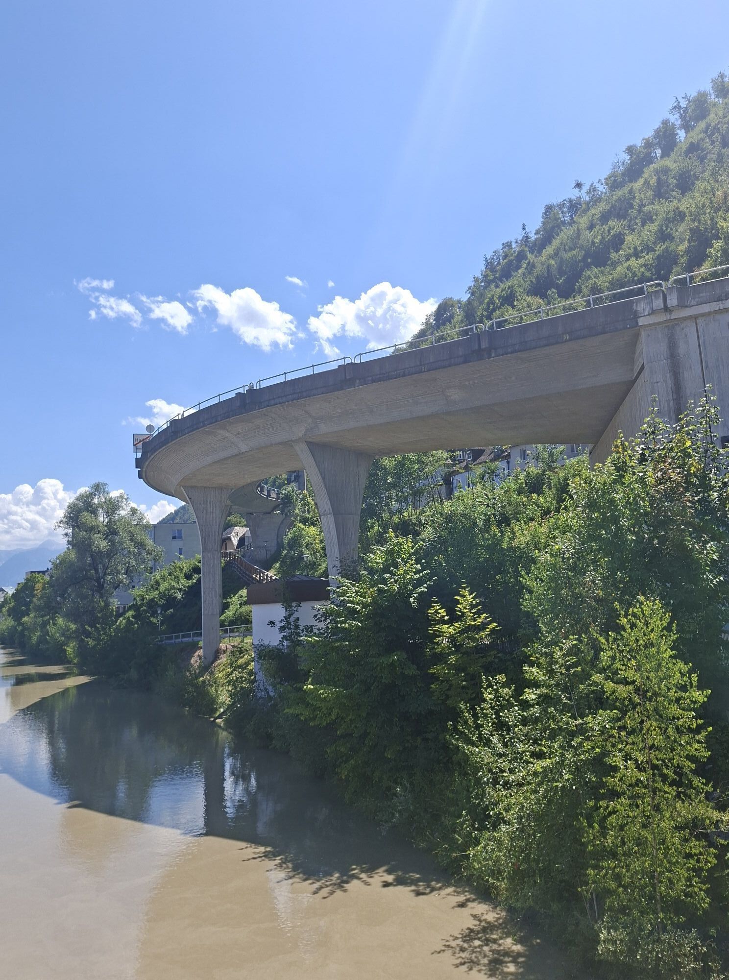
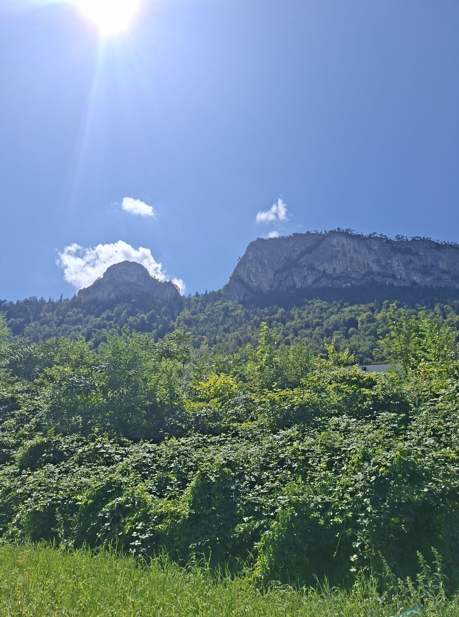
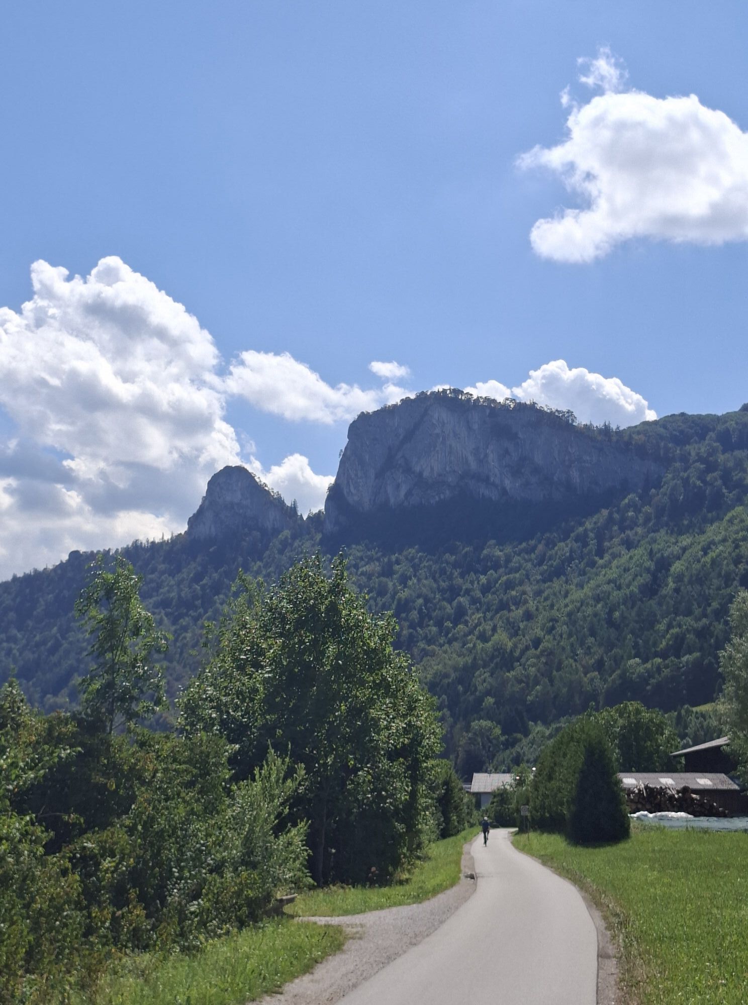
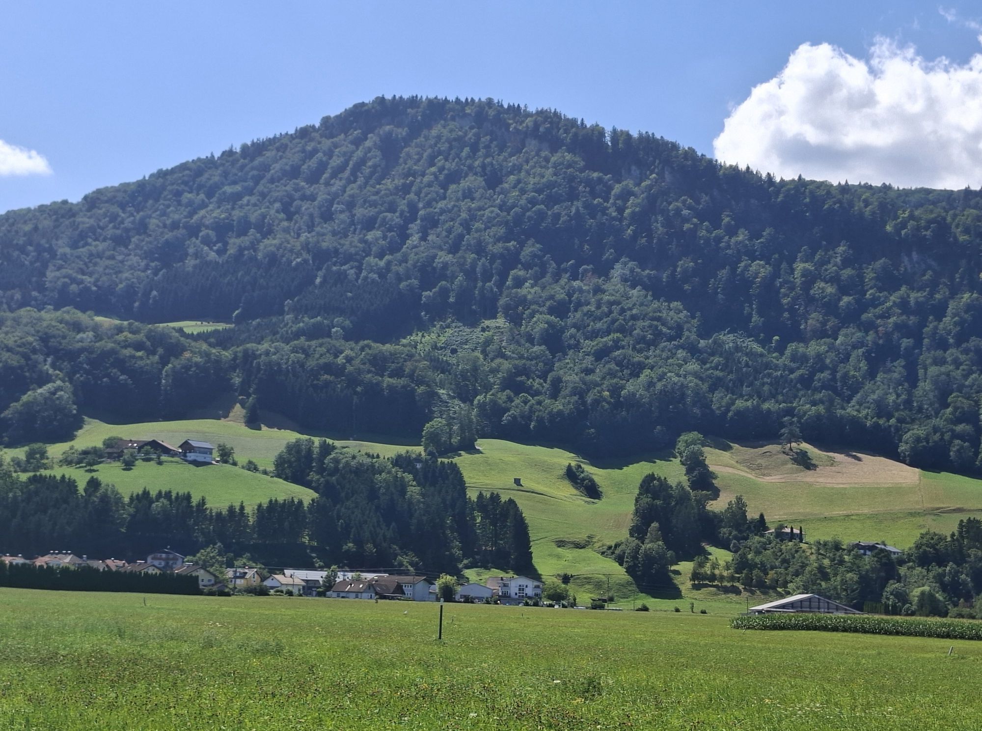
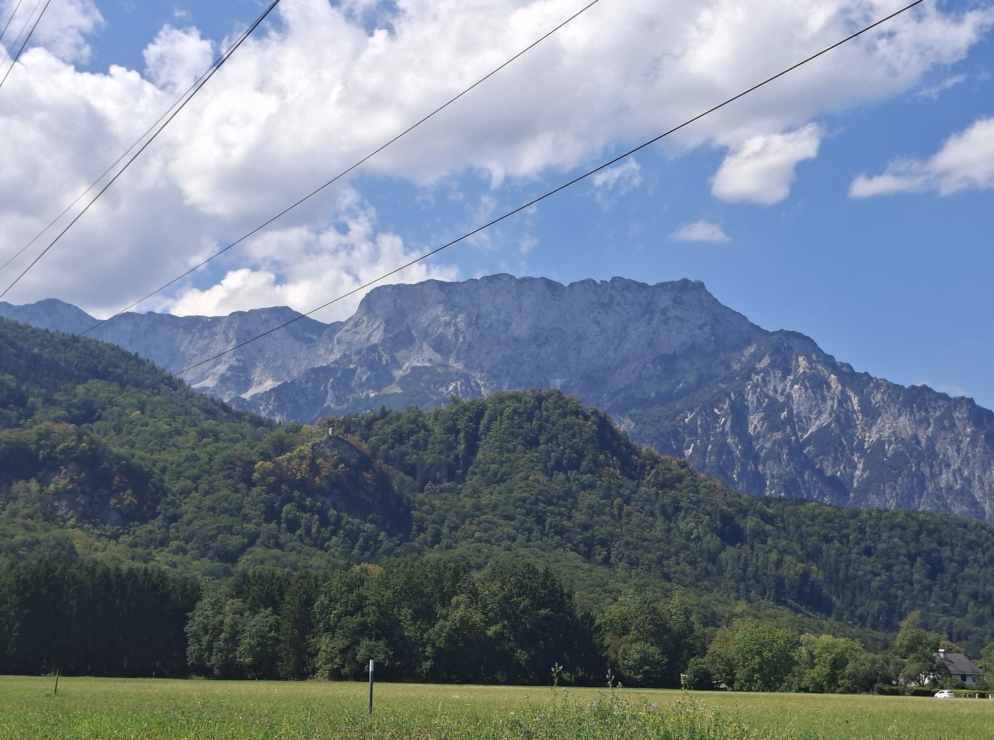
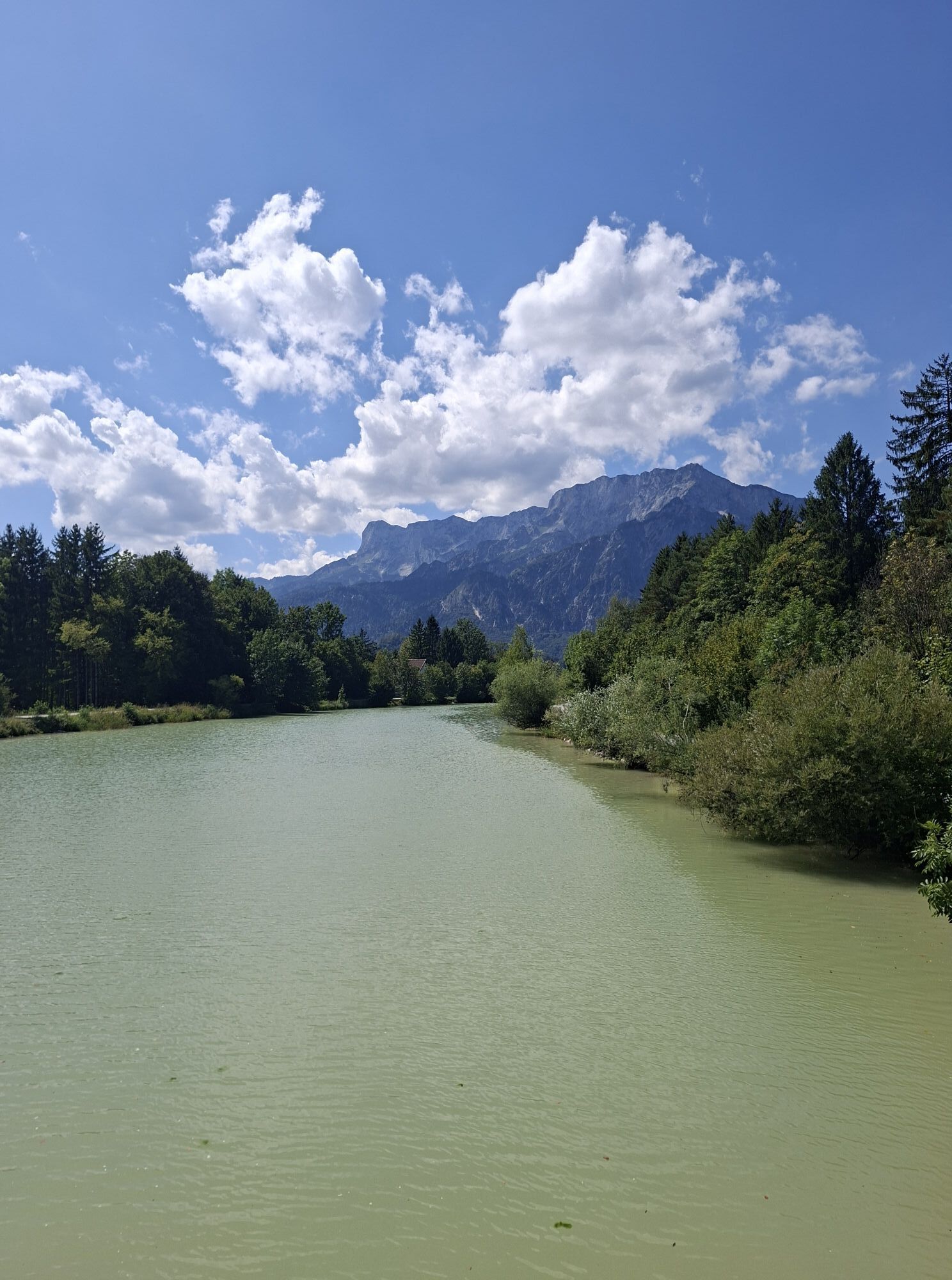
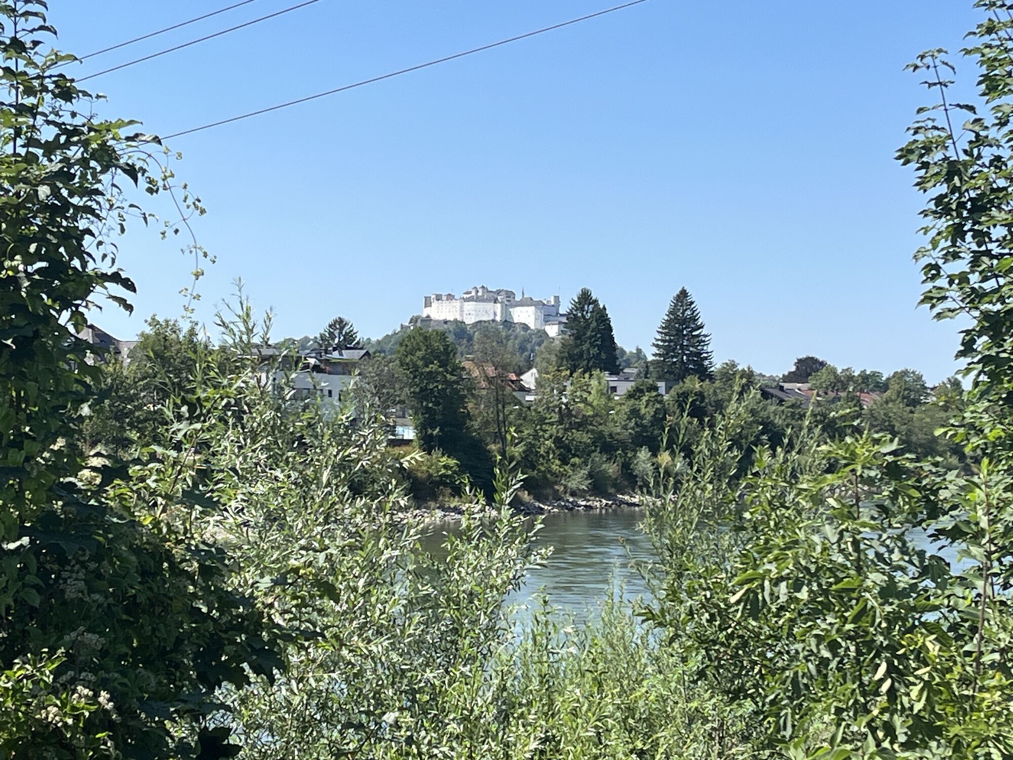
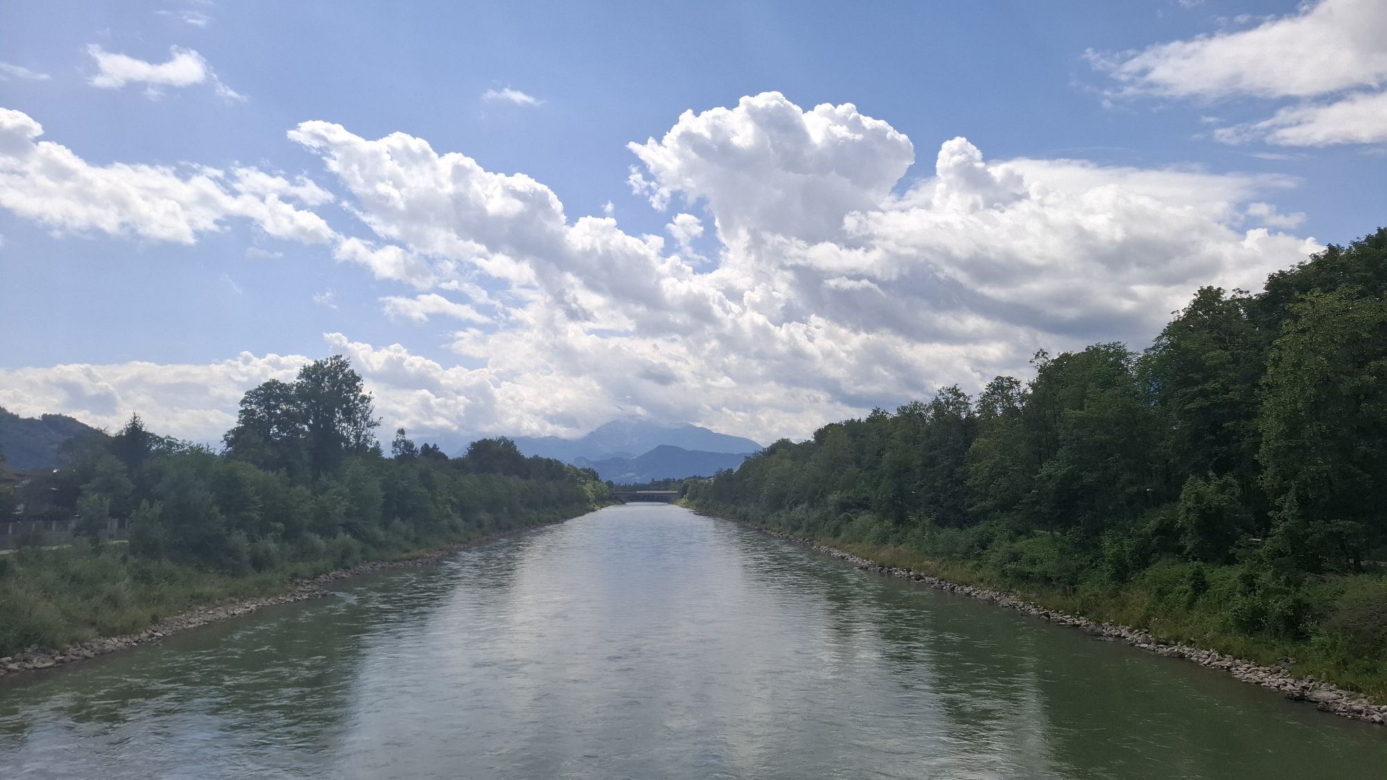
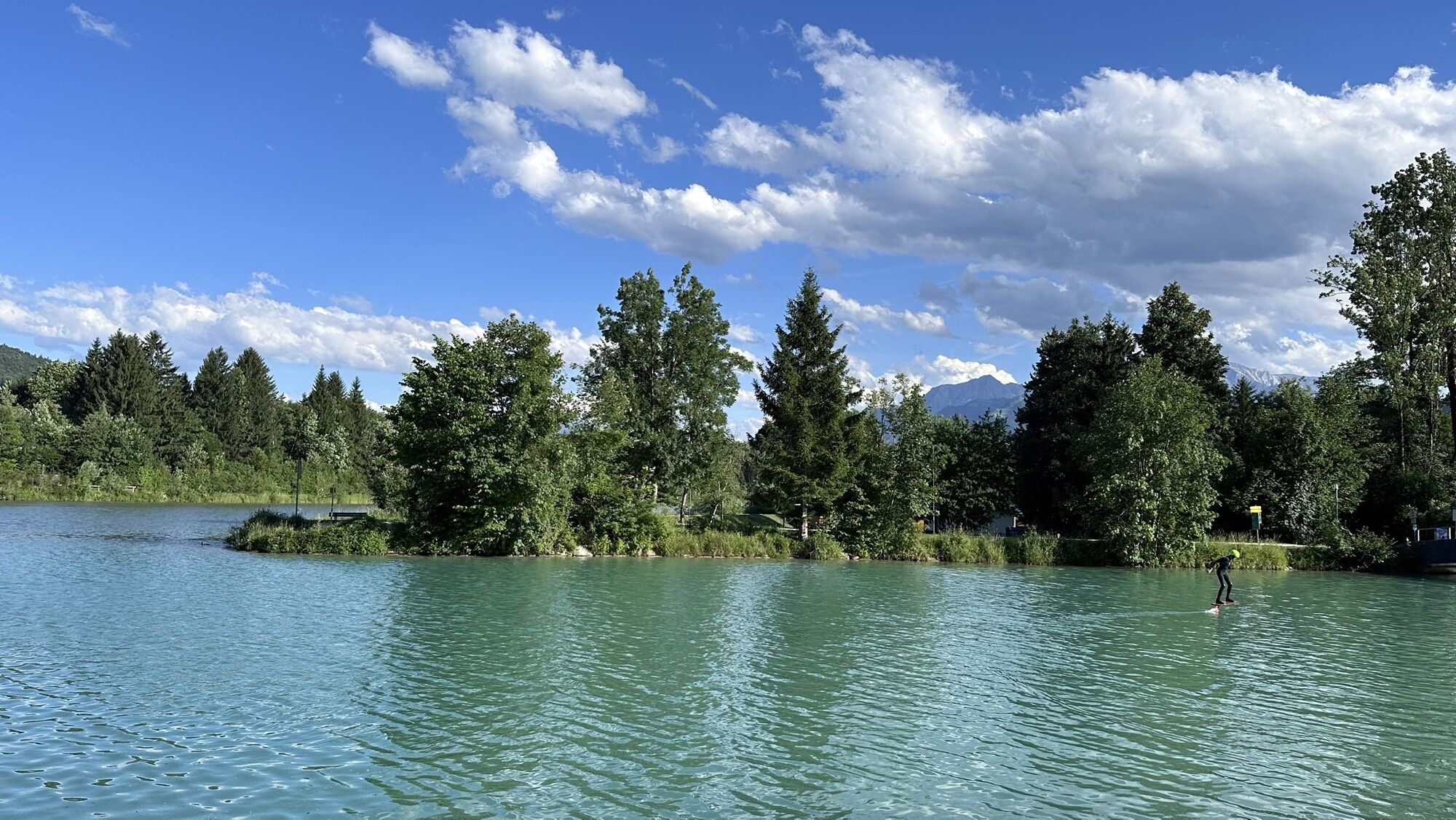
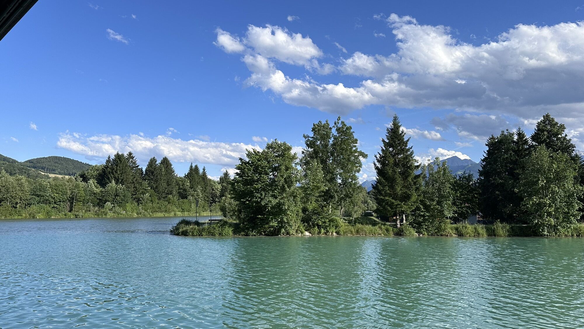
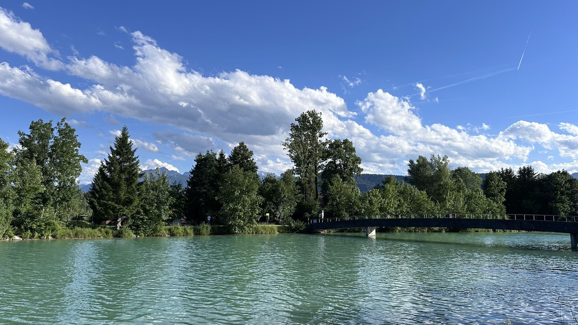
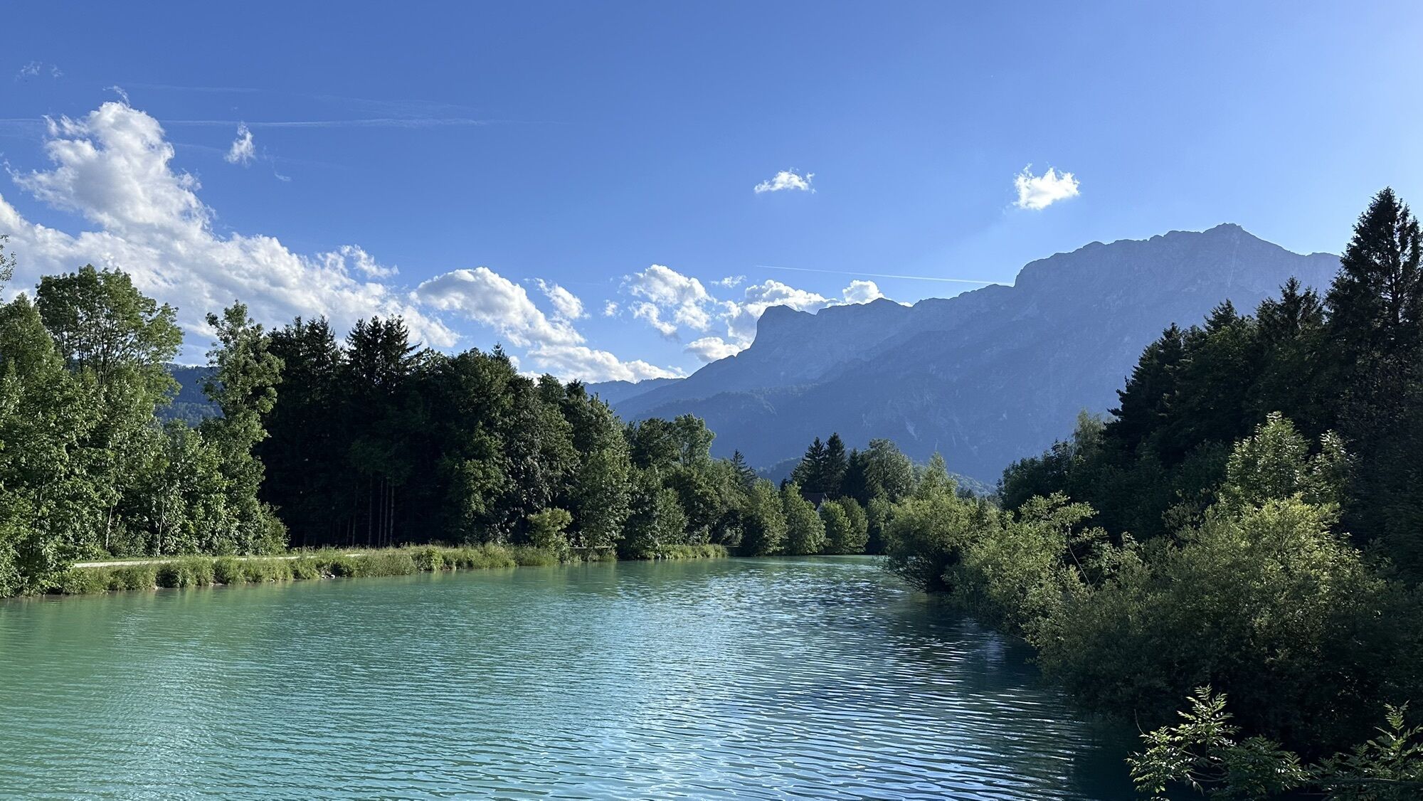
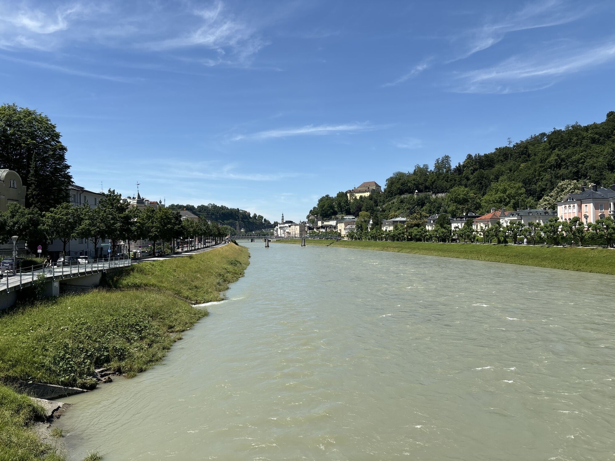
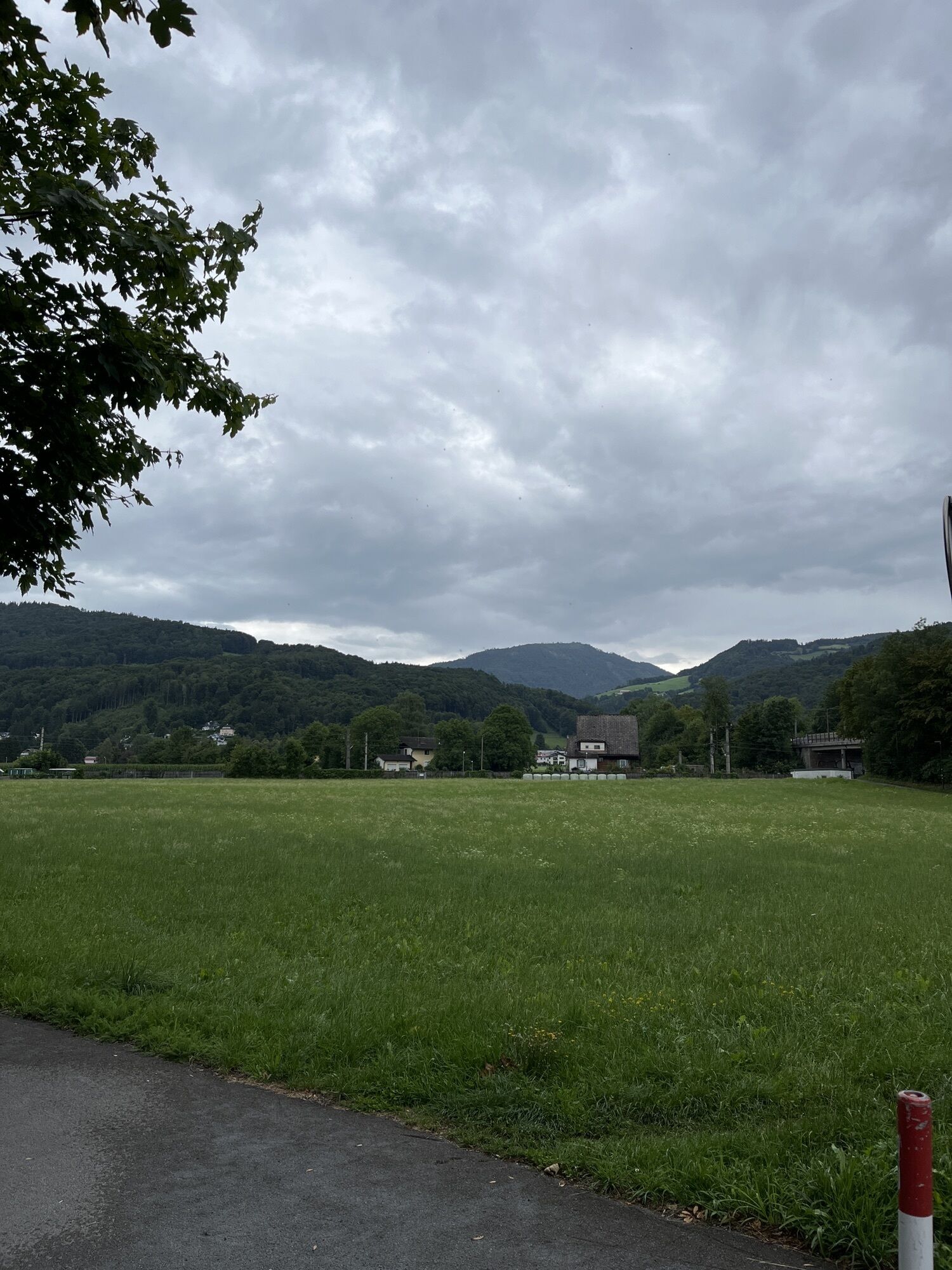
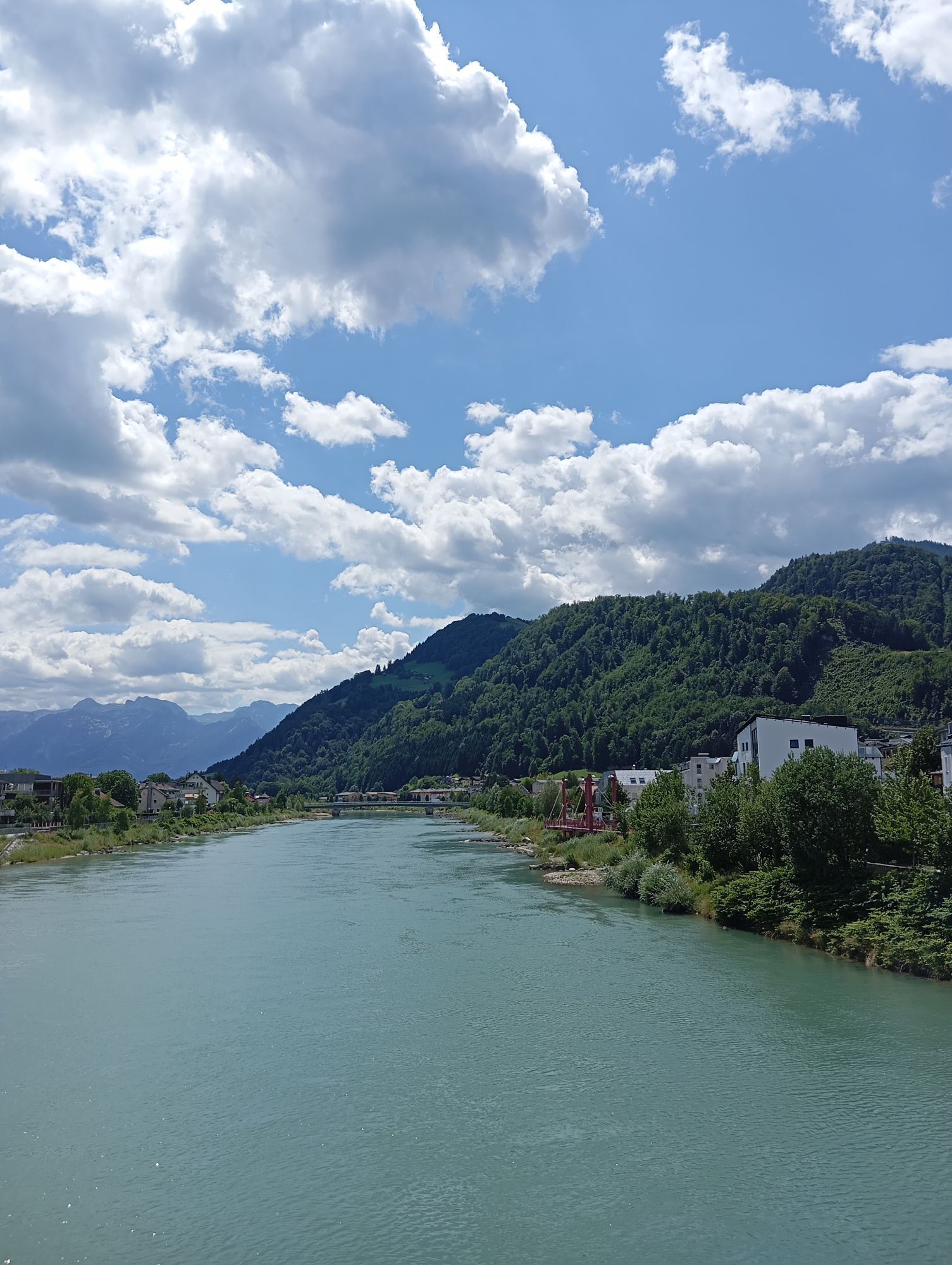
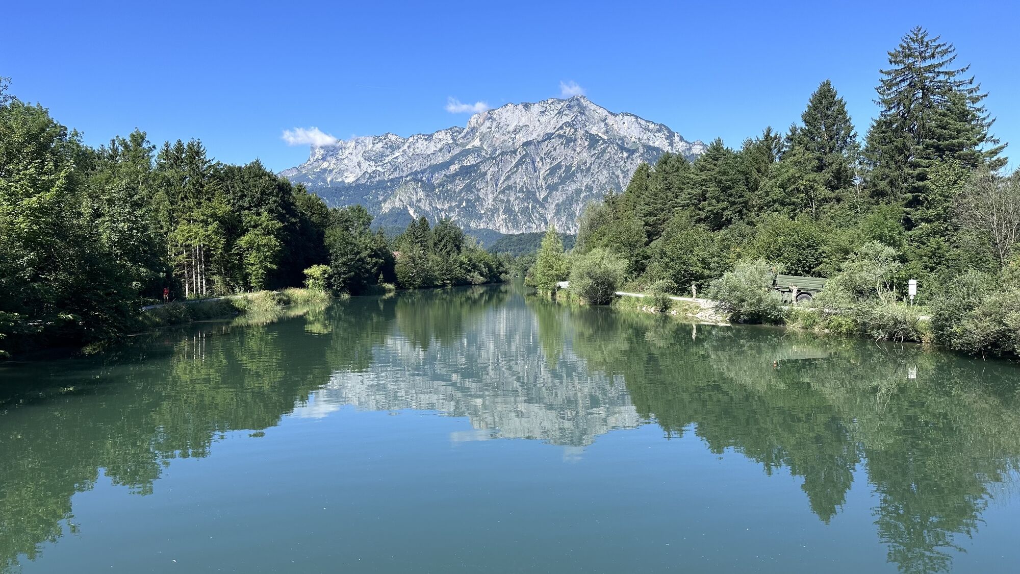
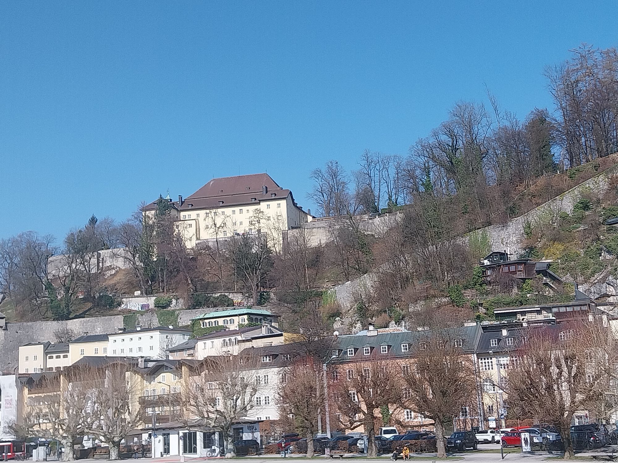
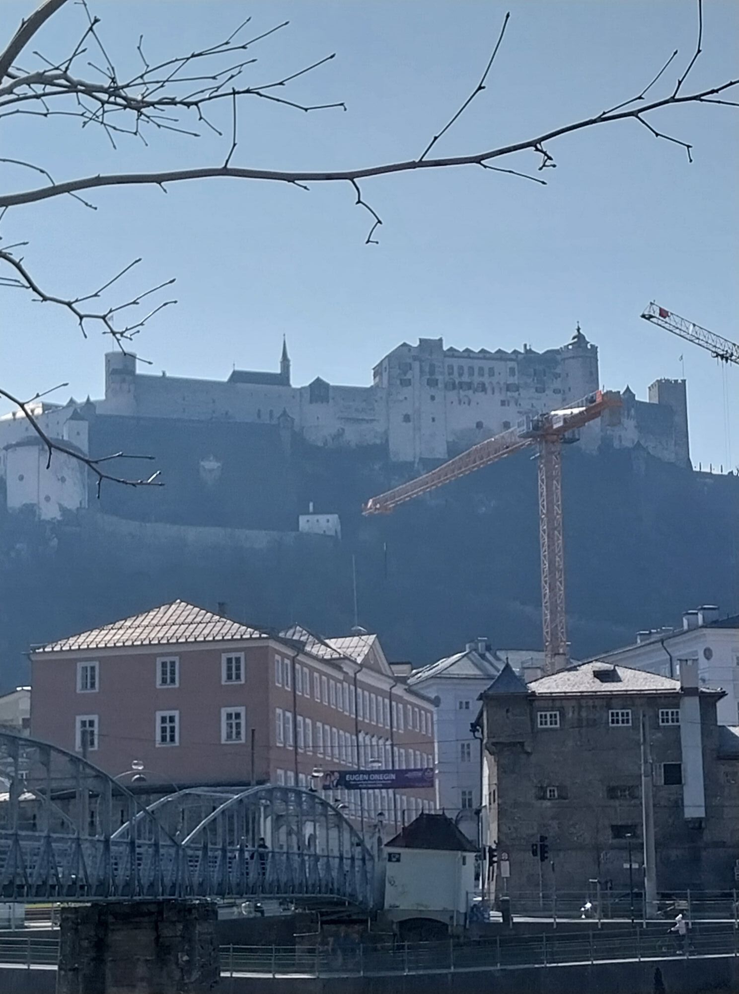
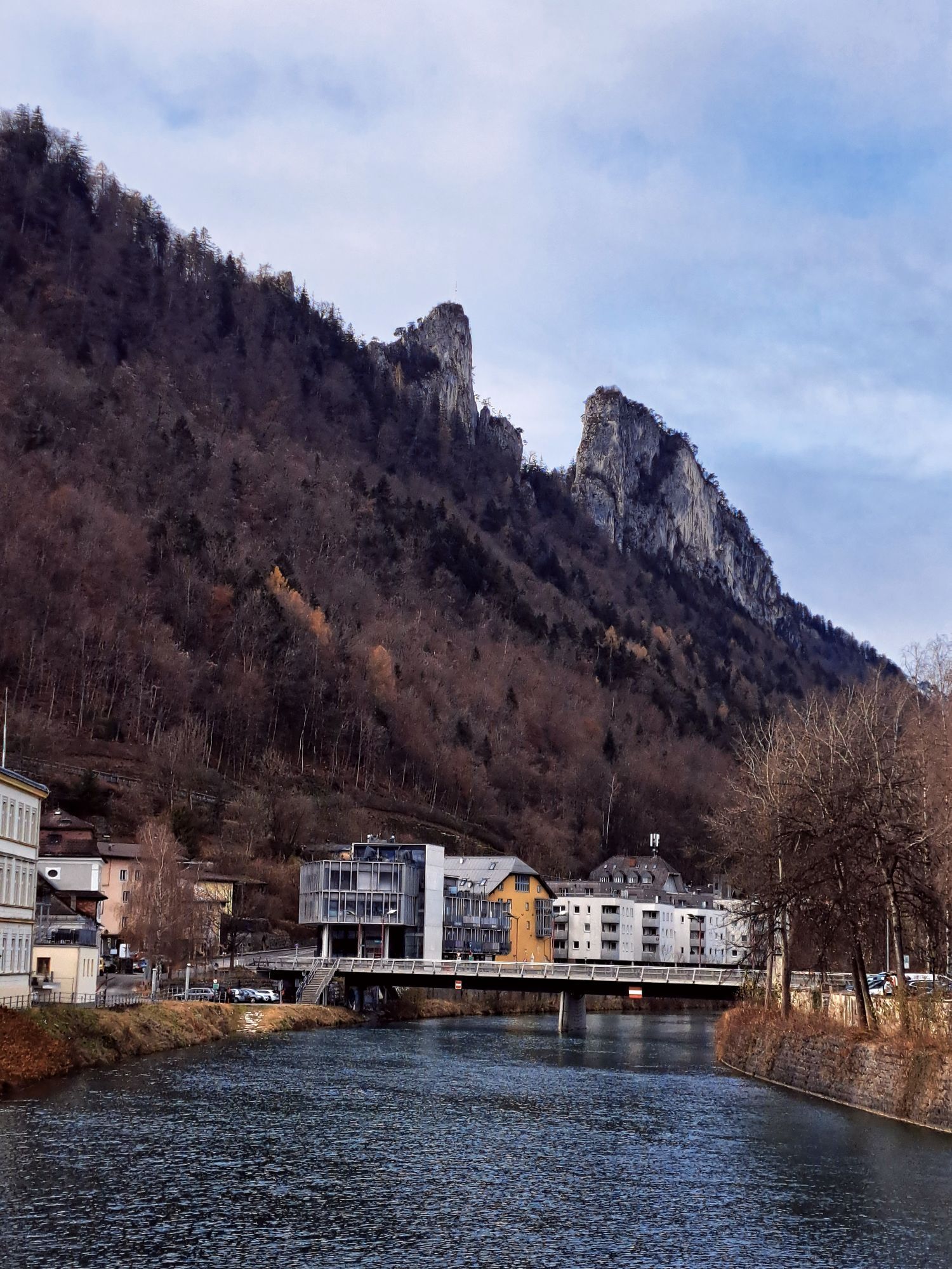
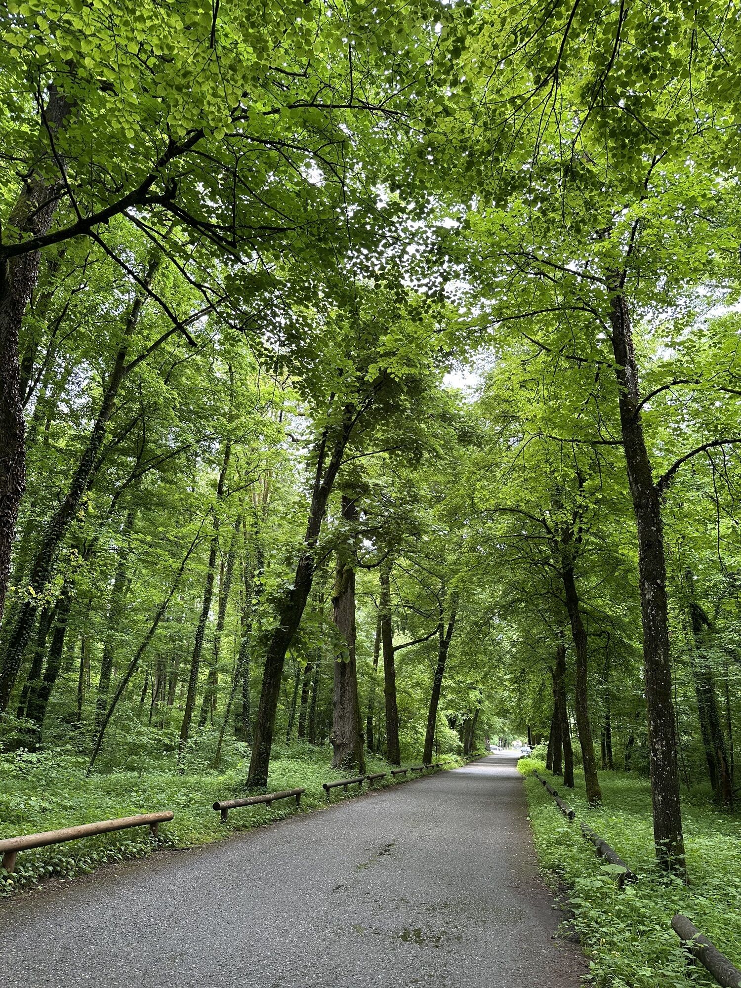
Along the bike path by the Salzach, it goes leisurely to the state capital Salzburg.



Starting from the village square Bad Vigaun, cycle through the underpass at the S-Bahn stop towards Hallein. After the paper factory, turn left into Triebenbachweg until you reach the Salzach. Along the Hjalmer-Wessel Promenade, Münzpromenade, over the Kühlbrücke, you reach the Pernerinsel. Take the first exit at the first roundabout over the Heidenbrücke, and at the second roundabout take the second exit onto Neualmerstraße. Along the Ausfergenufer until the bike path along the Salzach begins in the forest to the left. Along this bike path, you reach your desired destination in the city of Salzburg.
Return: You cycle back on the other side of the Salzach to Hallein. The bike path along the Salzach ends directly at Pfannhauserplatz near the Celtic Museum. From there, continue via Pflegerplatz, Kuffergasse and Rainer Kai to the Anton Neumayr Bridge, which you cross. Immediately after the bridge, turn right and return the same way you came back to Bad Vigaun.
Tak
Tak
Take the Hallein exit from the A10 Tauern motorway. Straight through two roundabouts. At the third roundabout, take the second exit. After a few minutes by car, you will reach Bad Vigaun.
The starting point is reachable within a 10-minute walk using the ÖBB S3 from/to Bad Vigaun stop.
Public parking East at the Bad Vigaun fire station or at the New Middle School/Nah & Frisch Bad Vigaun


Kamery internetowe z trasy
-
Rossfeld Talstation Großer Lift
-
Rossfeld Talstation Großer Lift
-
Schloss Mirabell
-
Salzburg - Festungsbahn
-
Adnet
-
Wandschützenhütte - Adnet
-
Zinkenstüberl
-
Salzburg - Flughafen
-
Talstation Zinkenlifte
-
Berchtesgaden - Watzmann
-
Marktschellenberg
-
Berchtesgaden - Watzmann
-
Salzburg - Gaisberg
-
Salzburg - Maxglan
-
HANGAR 7 / THE FLYING BULLS - Salzburg
Uzyskaj wgląd
Zawsze na żywo z ponad 9 500 kamer internetowych. bergfex Jako użytkownik Pro, możesz teraz zobaczyć odpowiednie kamery internetowe dla wielu wycieczek w aplikacji wycieczki od. Pozwala to na bezpośredni podgląd aktualnych warunków.


Popularne wycieczki w okolicy
-
4,0
Bärenweg am Lidaun
światłoWędrówka 9,05 km -
4,1
Durch die Almbachklamm nach Ettenberg
Wędrówka 7,54 km -
4,2
Untersberg, Toni-Lenz-Hütte
Wędrówka 4,86 km -
4,8
Great and Small Barmstein, the landmarks of Hallein
ciężkiWędrówka 6,58 km -
4,4
From Koppl to the Gaisberg summit
średniWędrówka 9,86 km -
4,4
Hike to the Kleiner Barmstein via the Thürndl ruin
średniWędrówka 4,20 km -
4,8
Untersberg (Salzburger Hochthron)
średniWędrówka 11,8 km -
4,3
Panoramic circular route Kaiserbuche
światłoWędrówka 4,93 km -
4,8
Reitsteig - Dopplersteig Runde_Untersberg
średniWycieczka wysokogórska 9,89 km -
4,7
Almbachklamm zum Gasthof Dürrlehen
średniWędrówka 8,94 km

Wędrówki i tropienie


Nie przegap ofert i inspiracji na następne wakacje
Twój adres e-mail została dodana do listy mailingowej.





