


Stuhlfelden: Bürglhütte Gravel
Poziom trudności: 3
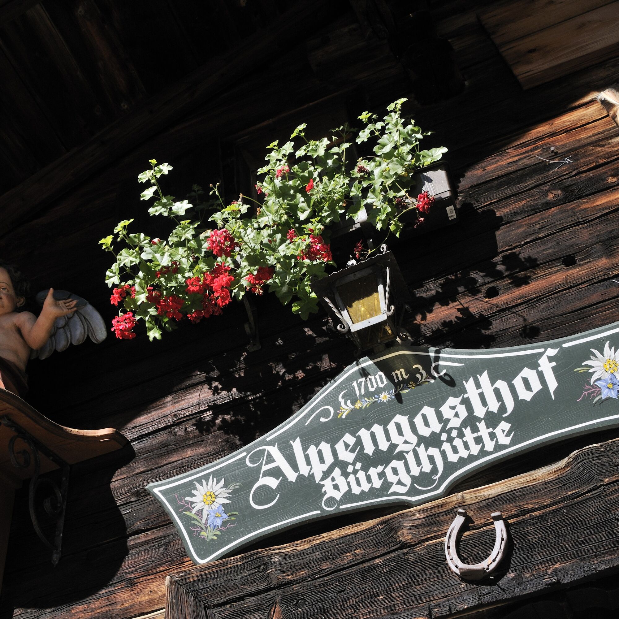
The route to the Bürglhütte entices with a moderate ascent and yet a view that is unrivaled. After an ascent along the Dürnberg on a paved road, riders are rewarded with a gravel section that leads along...
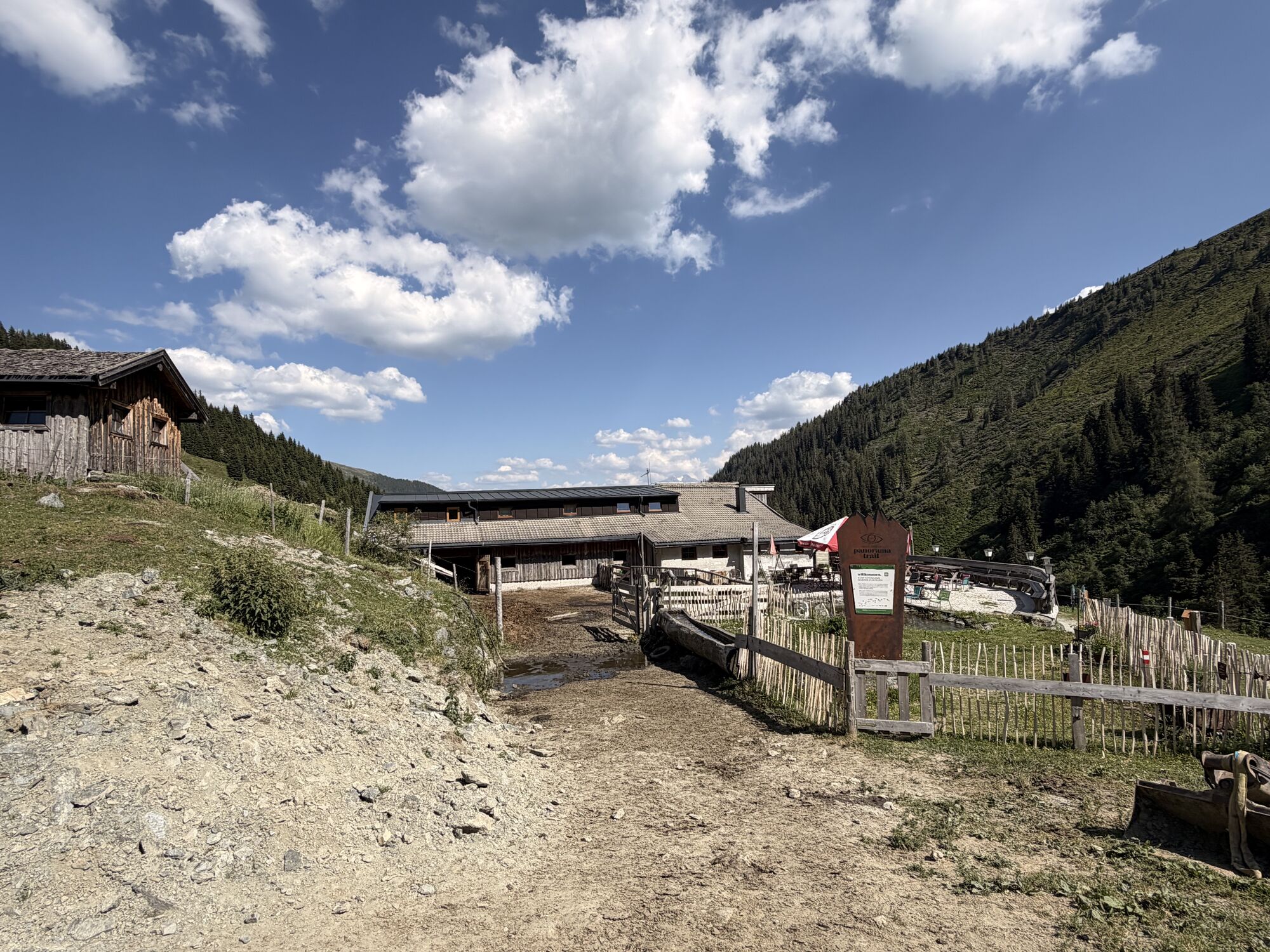
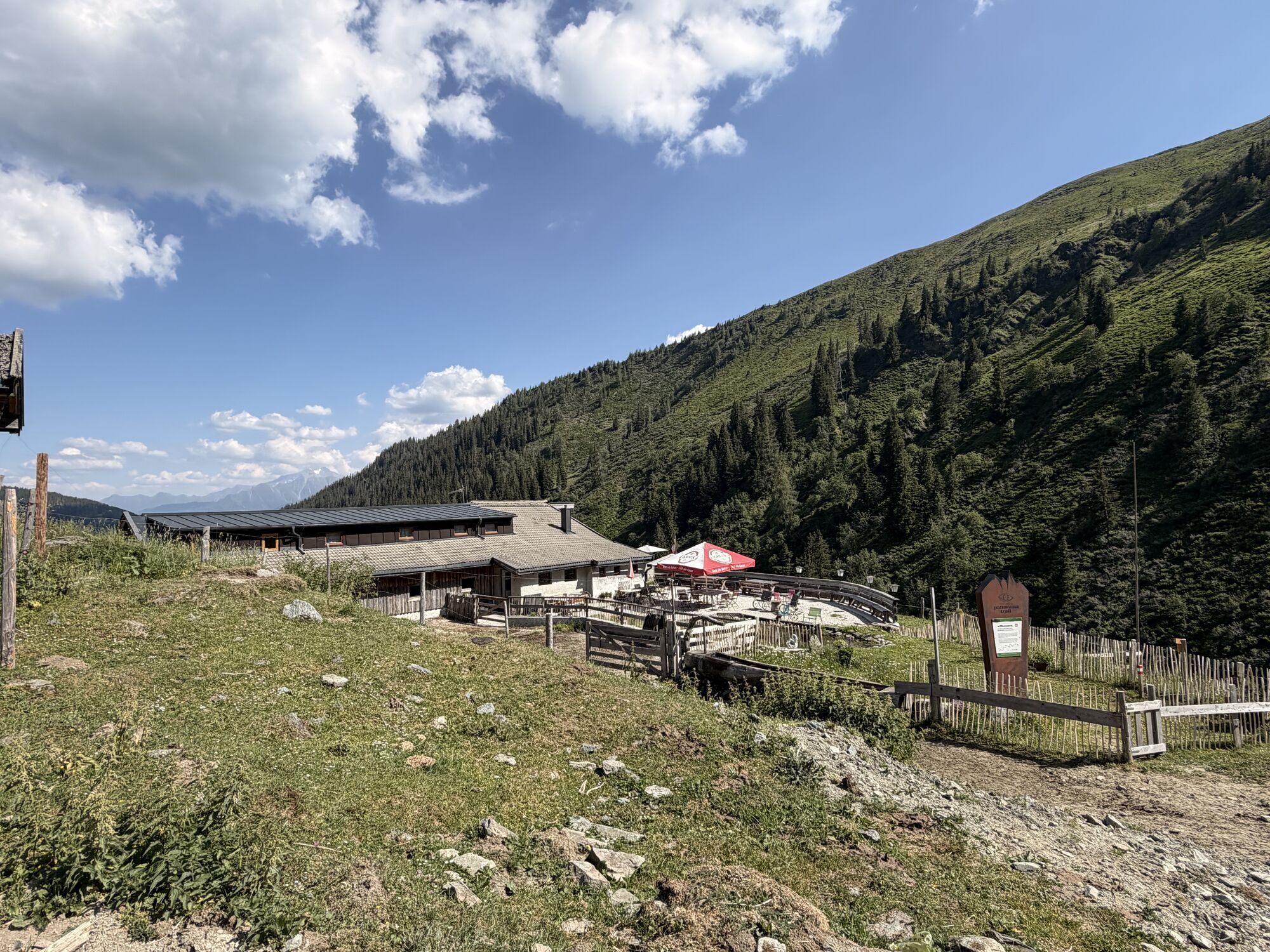
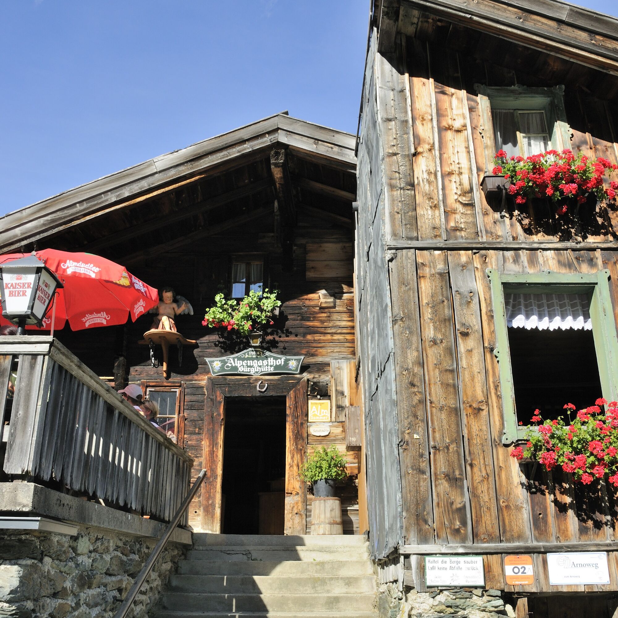
The route to the Bürglhütte entices with a moderate ascent and yet a view that is unrivaled. After an ascent along the Dürnberg on a paved road, riders are rewarded with a gravel section that leads along the Mühltal past quiet mountain streams up to the foothills of the Gaisstein. After refreshing yourself at the Bürglhütte (http://www.almgasthaus.de/buerglhuette/) you have two options: either put on hiking shoes and climb the summit of the Gaisstein in an Alpine tour of about two hours, or simply enjoy the descent over perfect gravel back down to Stuhlfelden.

From Stuhlfelden, the route goes along some switchbacks on Sonnberg to Saueck. From here, moderately climbing, following the valley and elevation to the Bürglhütte. The way back follows the same route.
CX/gravel bikes are best suited; light hardtail mountain bikes are slower on the flatter sections but also work well. Also bring provisions, helmet, gloves, and rain gear.
Experience on gravel is important. However, if you are mainly used to road riding, a preparation course is recommended (www.bikeaustria.com). Stable braking technique is important when riding fast on gravel with CX tires.
By the Pinzgauer Lokalbahn (summer 2022: rail replacement service!) or regional bus 670 to Stuhlfelden.
Parking is available in the center of Stuhlfelden and at the recreational facility.
3
Those who prefer to venture onto the gravel with professional guides can find all information at bikeaustria.com.
Mittersill Plus GmbH, Zeller Straße 2, 5730 Mittersill, Tel. +43(0) 6562 4292
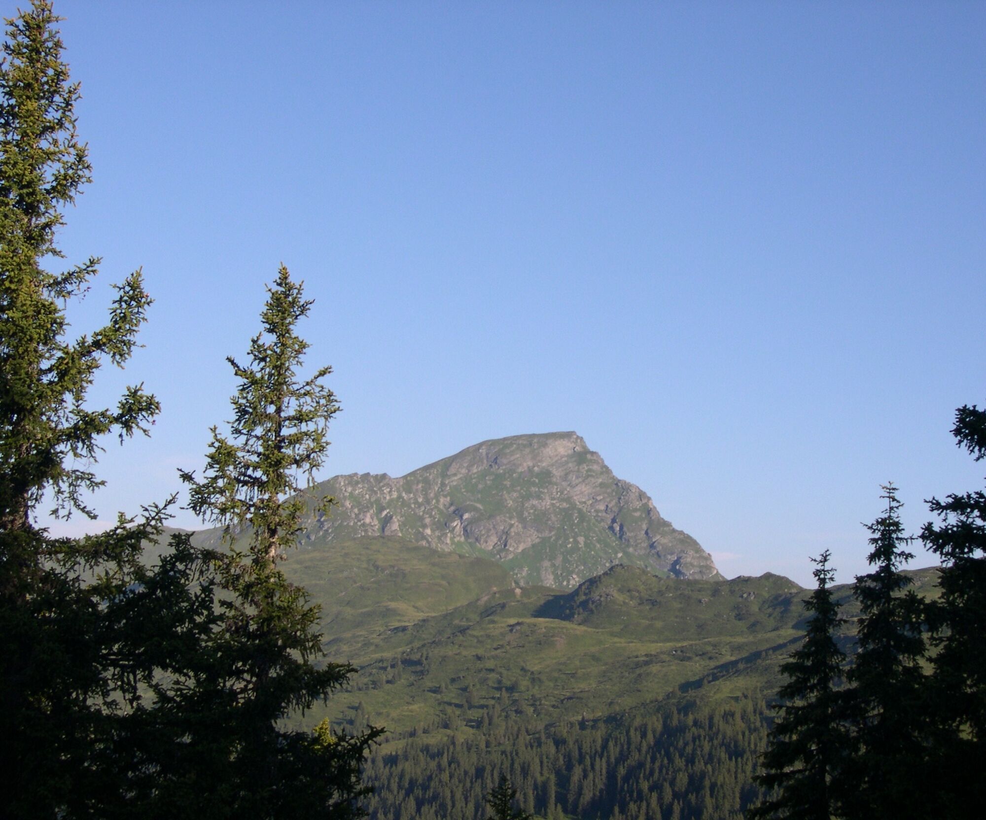
Although the highest grass mountain in Europe is actually already in Tyrol, an ascent of the Gaisstein is still a great experience.

Popularne wycieczki w okolicy
-
4,0
Maurerkogel (Top)
Wędrówka 10,5 km -
5,0
Panorama route 3 peaks and 2 lakes
średniWędrówka 7,21 km -
4,8
Hollersbach - Neue Fürther Hütte
Wędrówka 16,0 km -
3,8
Mittersill - Hintersee und Plattachsee
ciężkiWędrówka 9,90 km -
4,7
Tristkogel
ciężkiWędrówka 15,6 km -
3,9
Hollersbach: Pihapper Wegnr. 935
ciężkiWędrówka 12,8 km -
5,0
10D Hochsonnbergrunde
średniMountainbike 26,4 km -
4,9
Manlitzkogel
ciężkiWędrówka 13,4 km -
4,1
Via the Schösswendklamm to Hintersee
średniWędrówka 8,29 km -
4,0
Mittersill: ski tour Sonnalm
średniWycieczka narciarska 4,87 km
Wędrówki i tropienie


Nie przegap ofert i inspiracji na następne wakacje
Twój adres e-mail została dodana do listy mailingowej.