







SH 71 Schattberg Tour
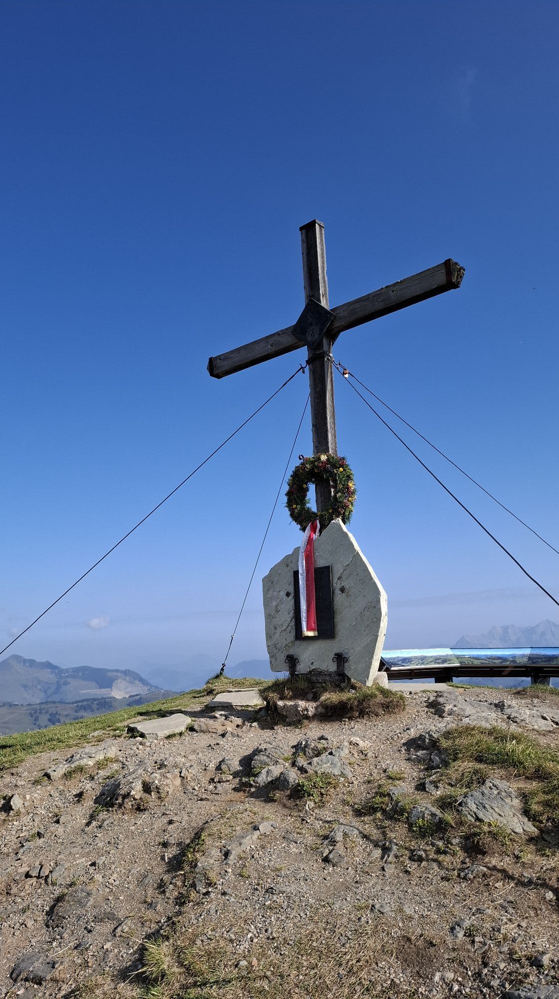
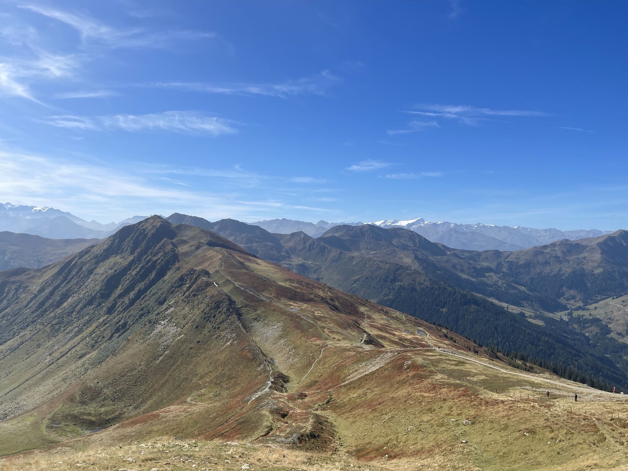
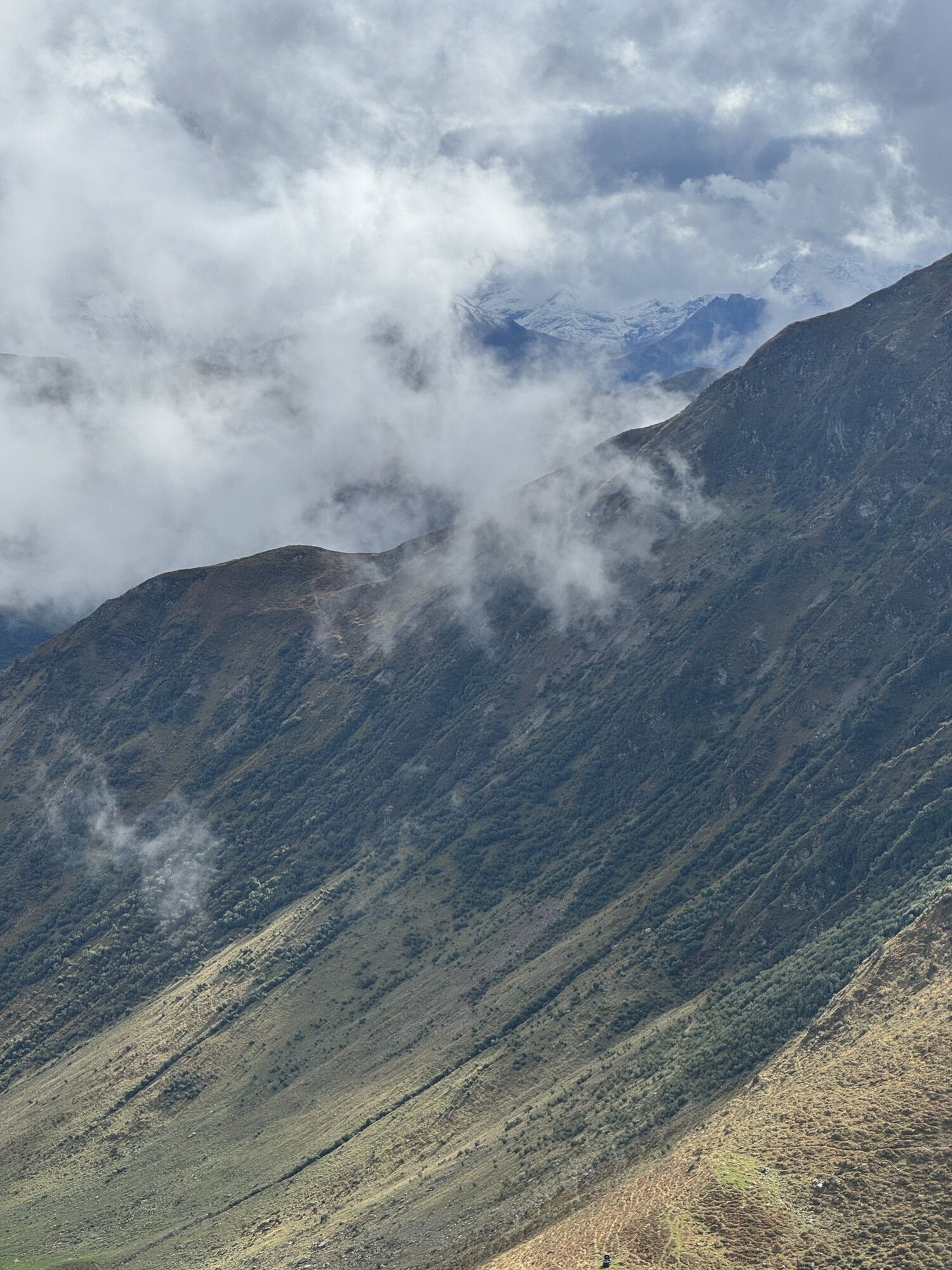
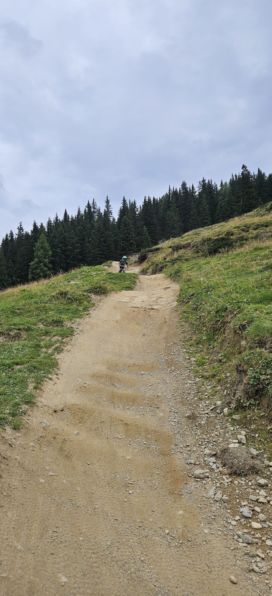
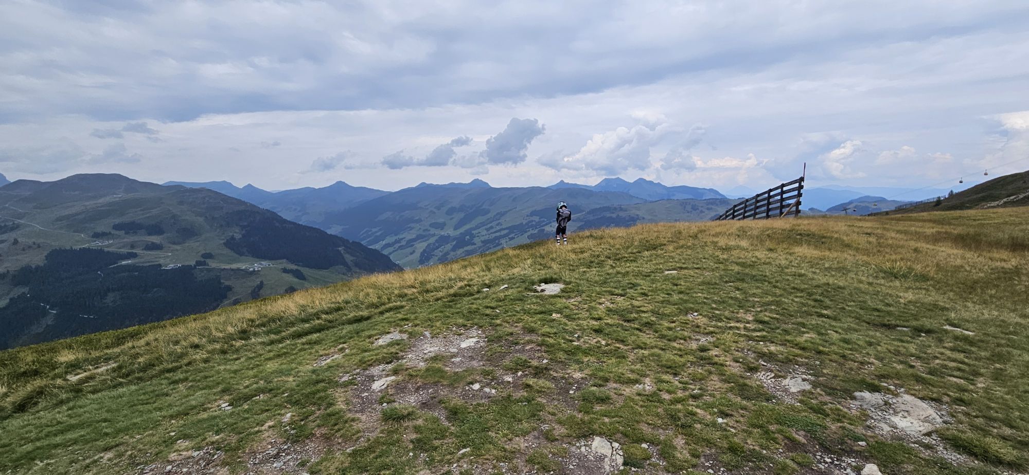
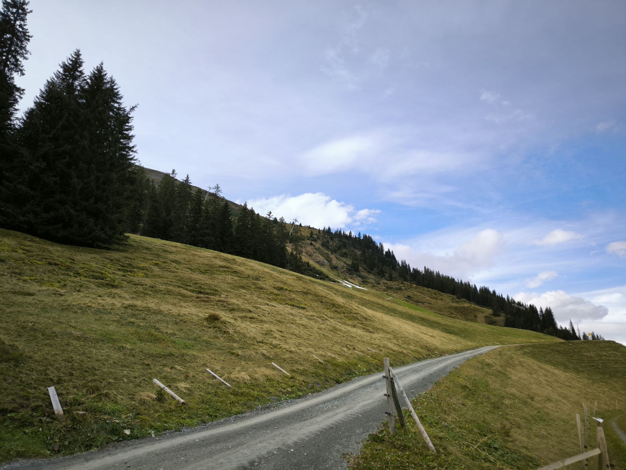
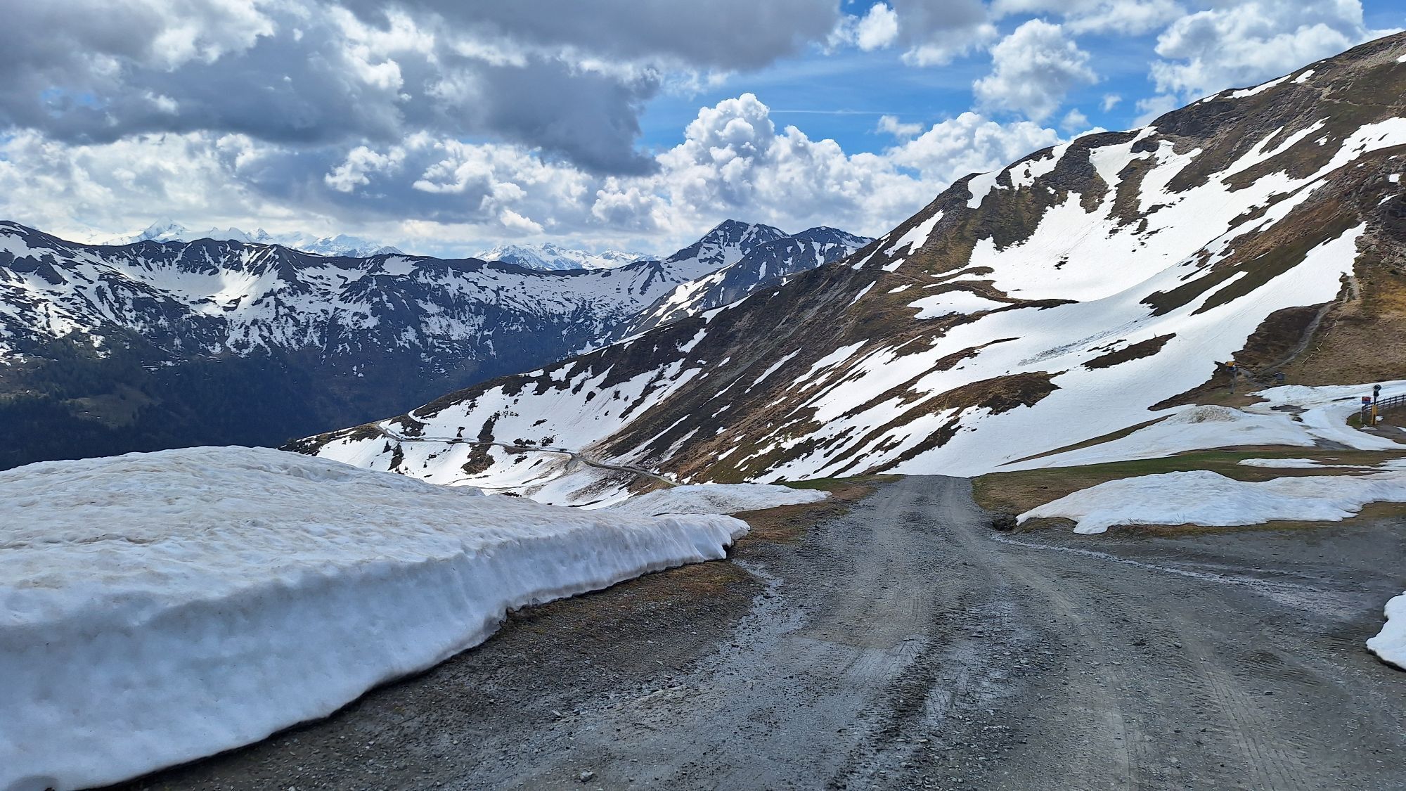
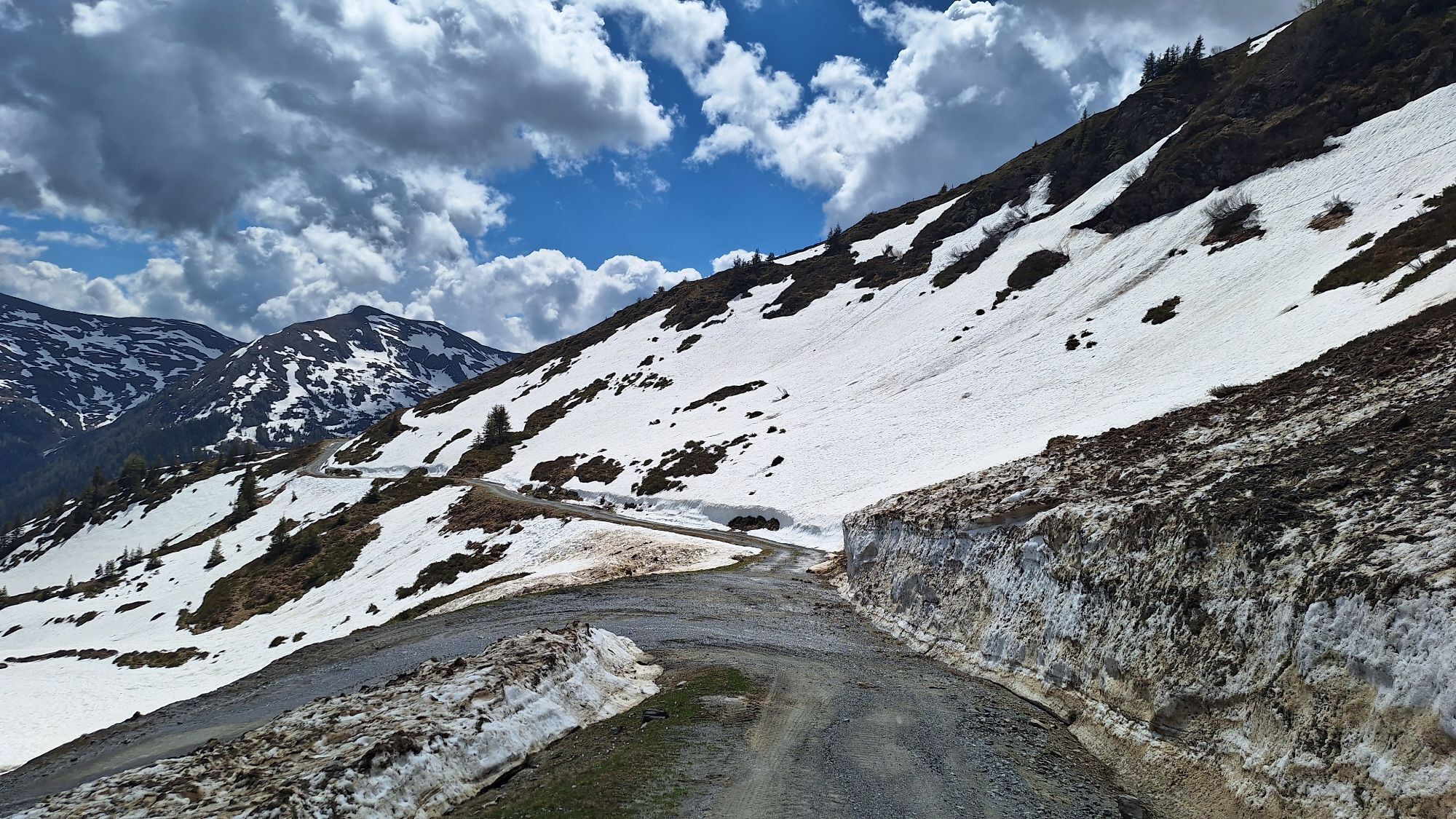

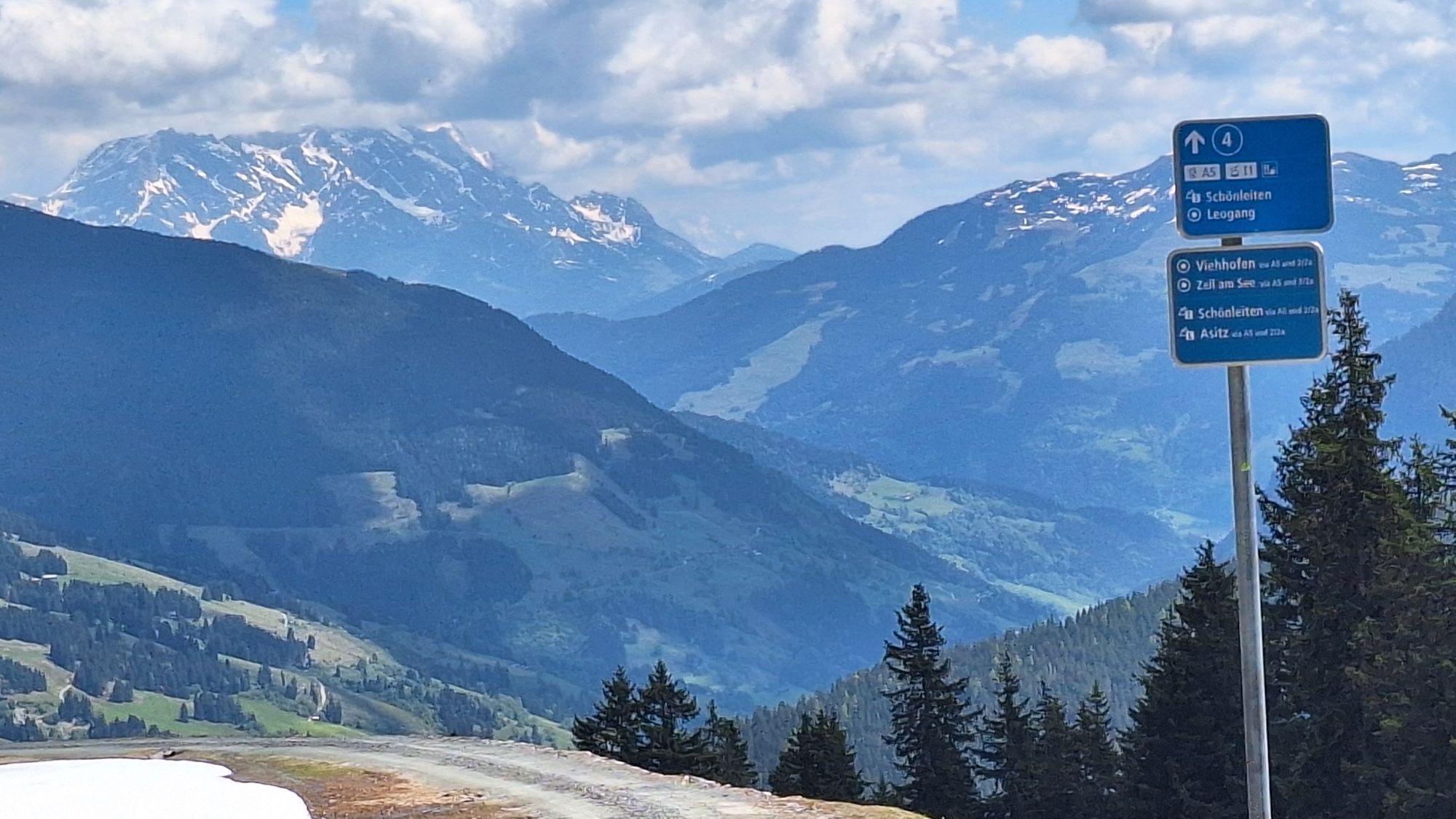
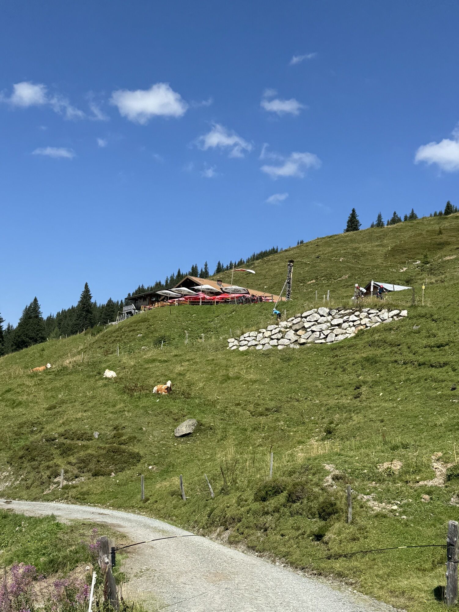
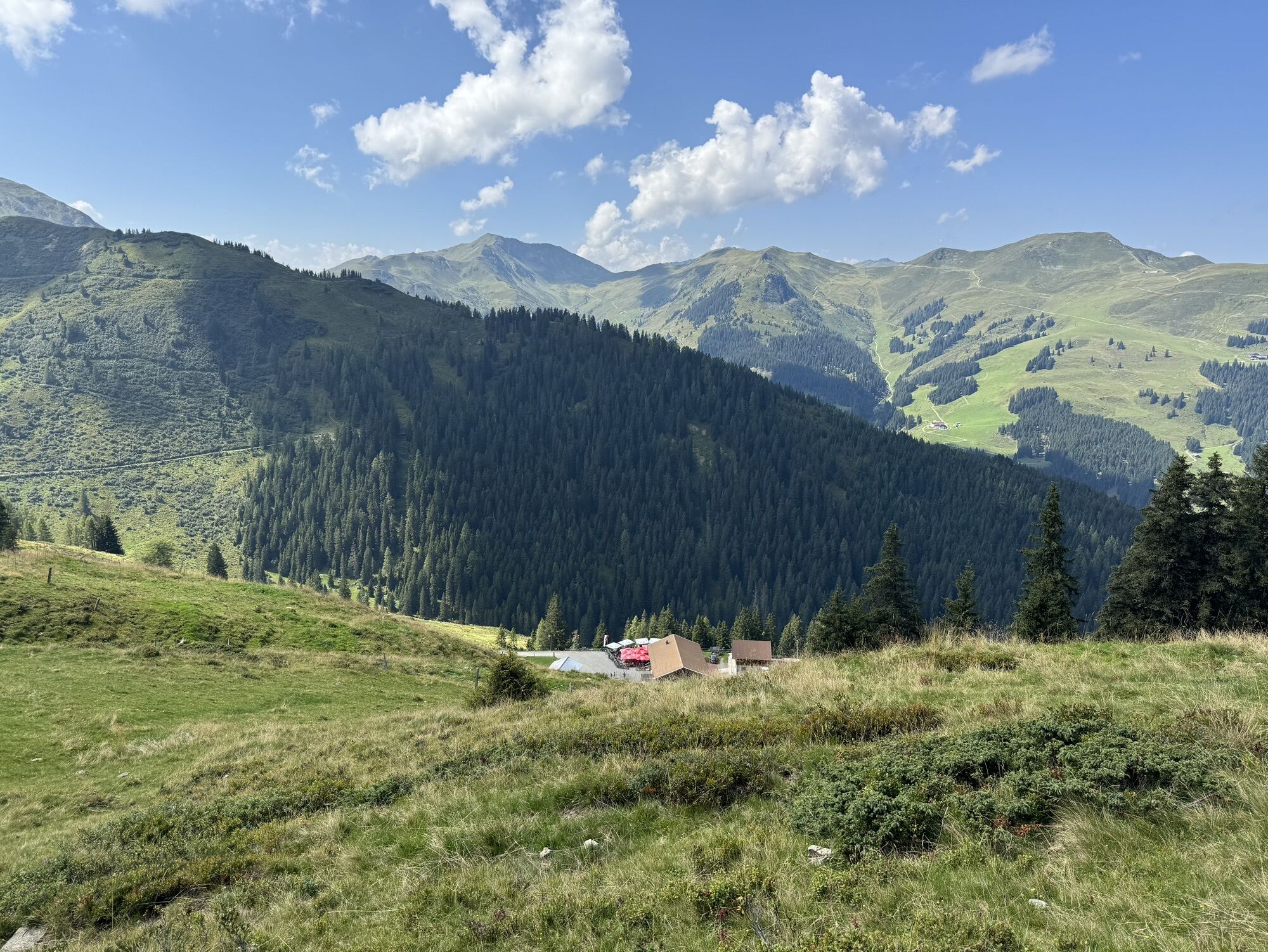
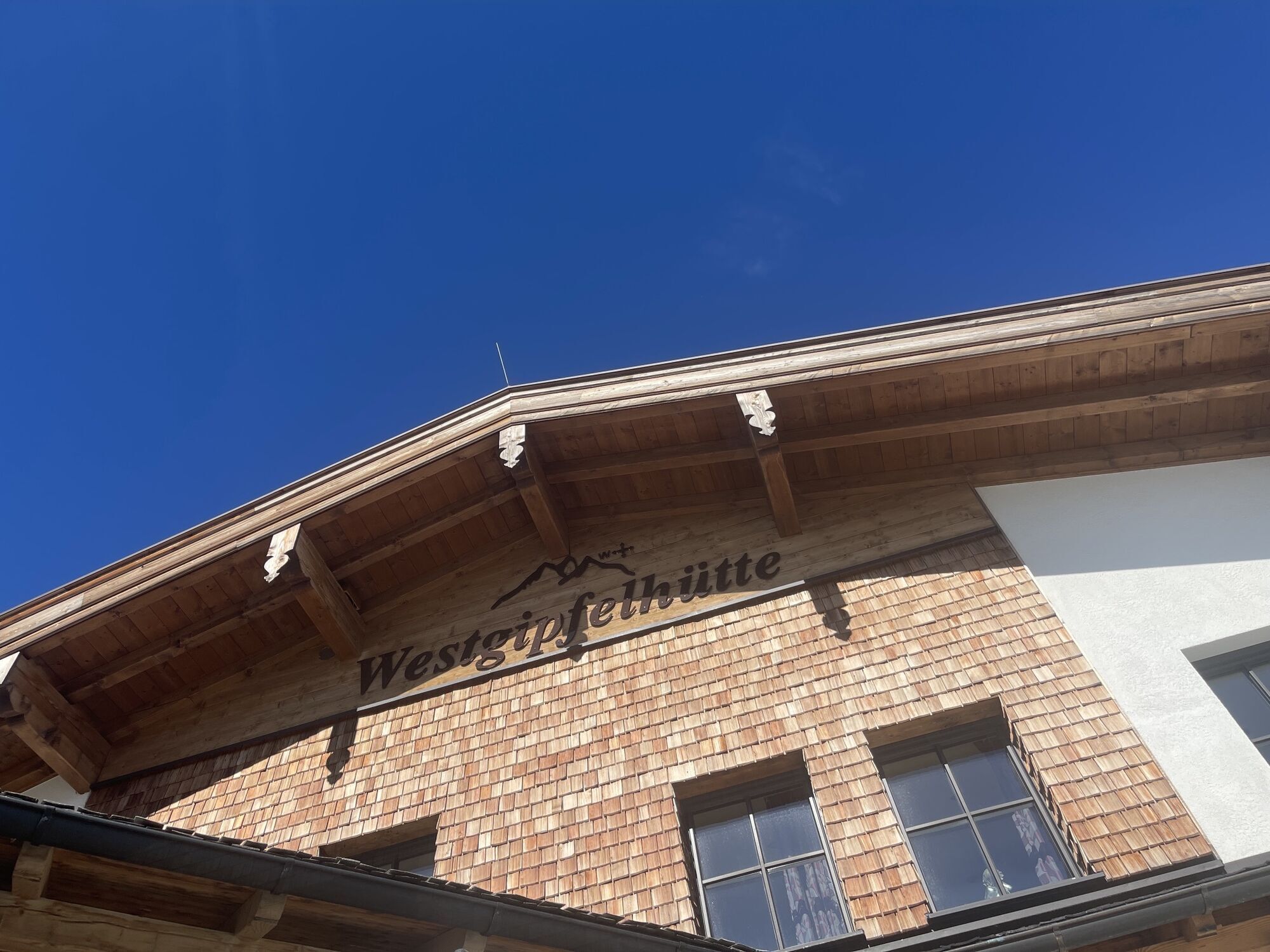
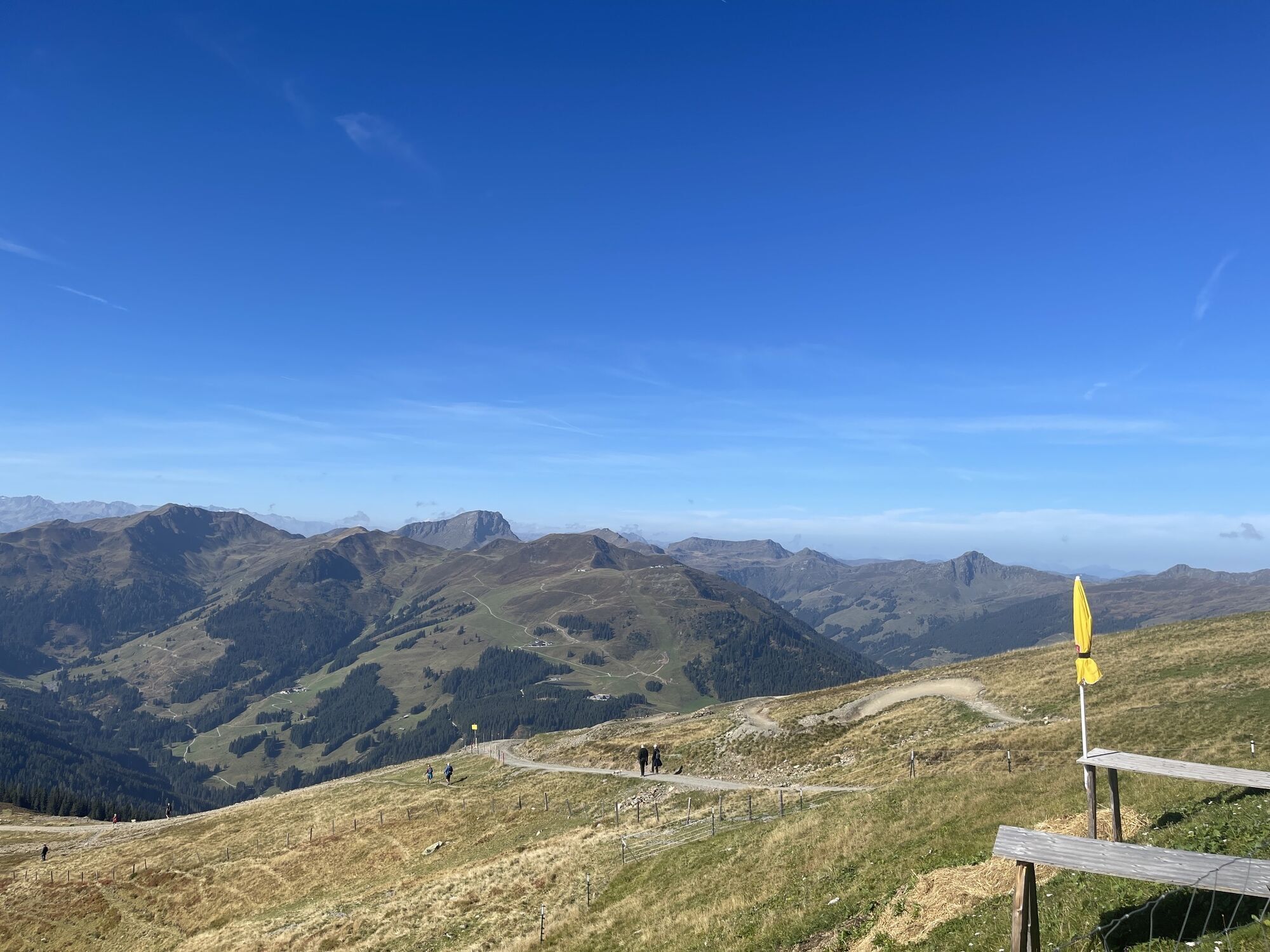
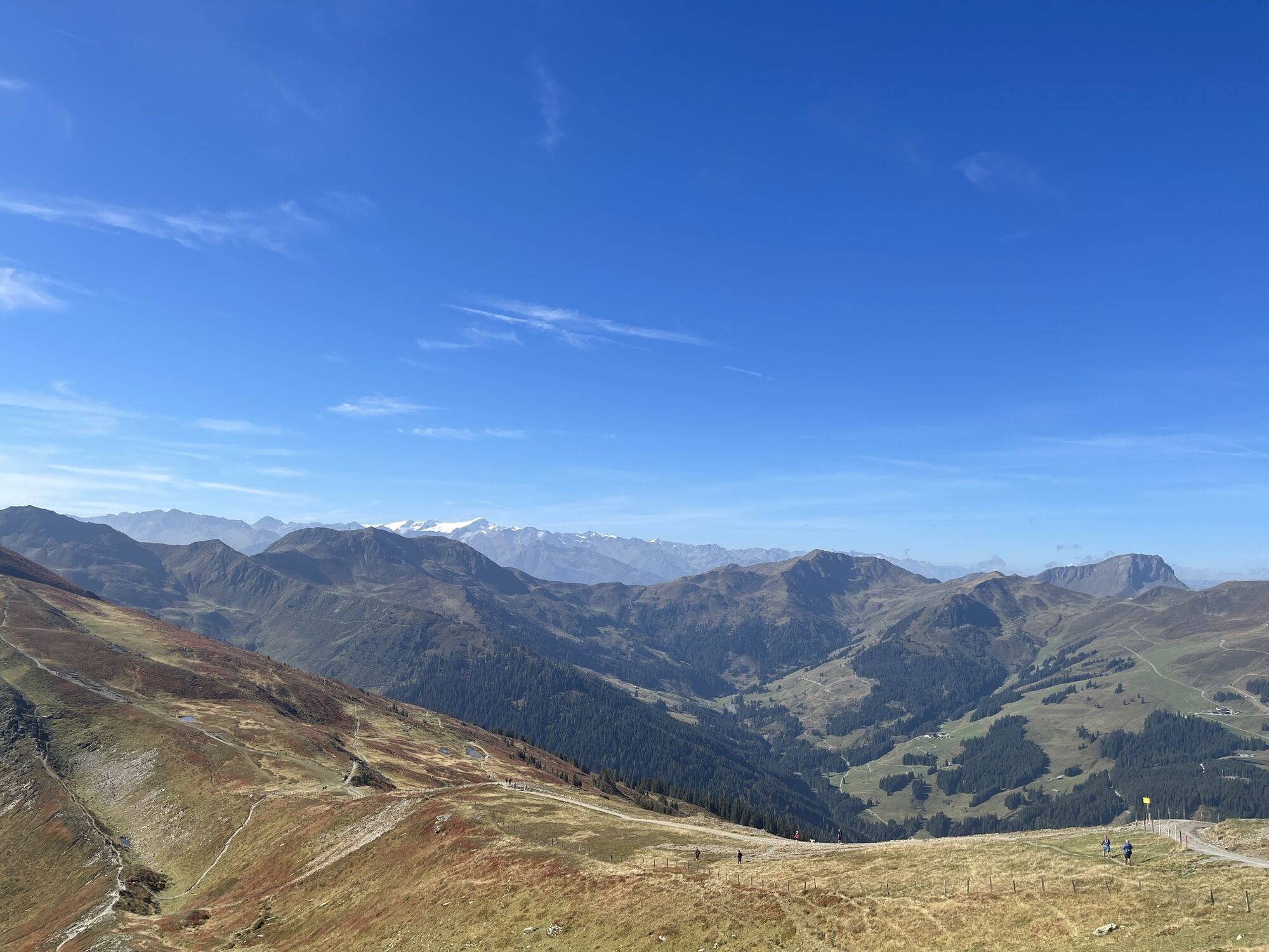
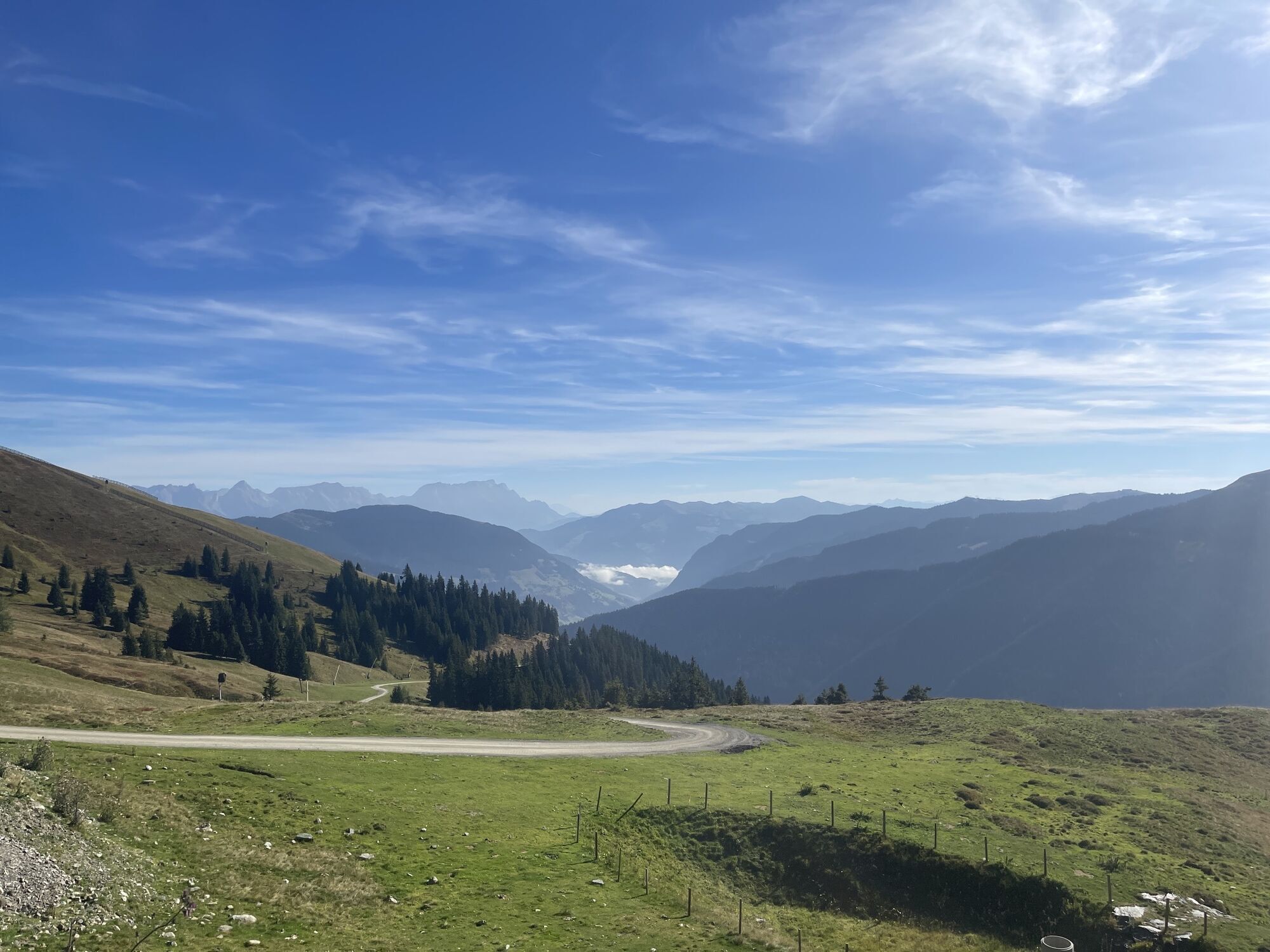
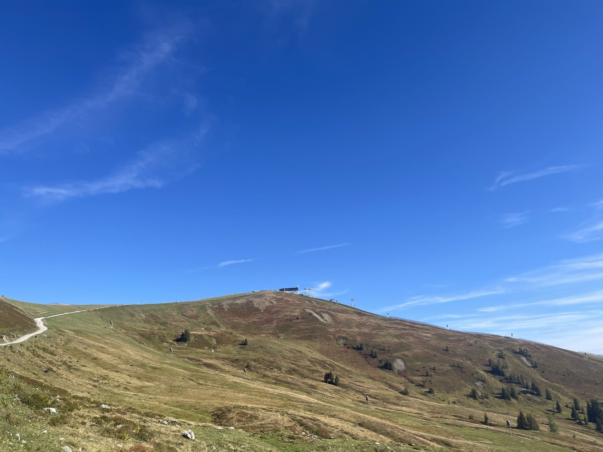
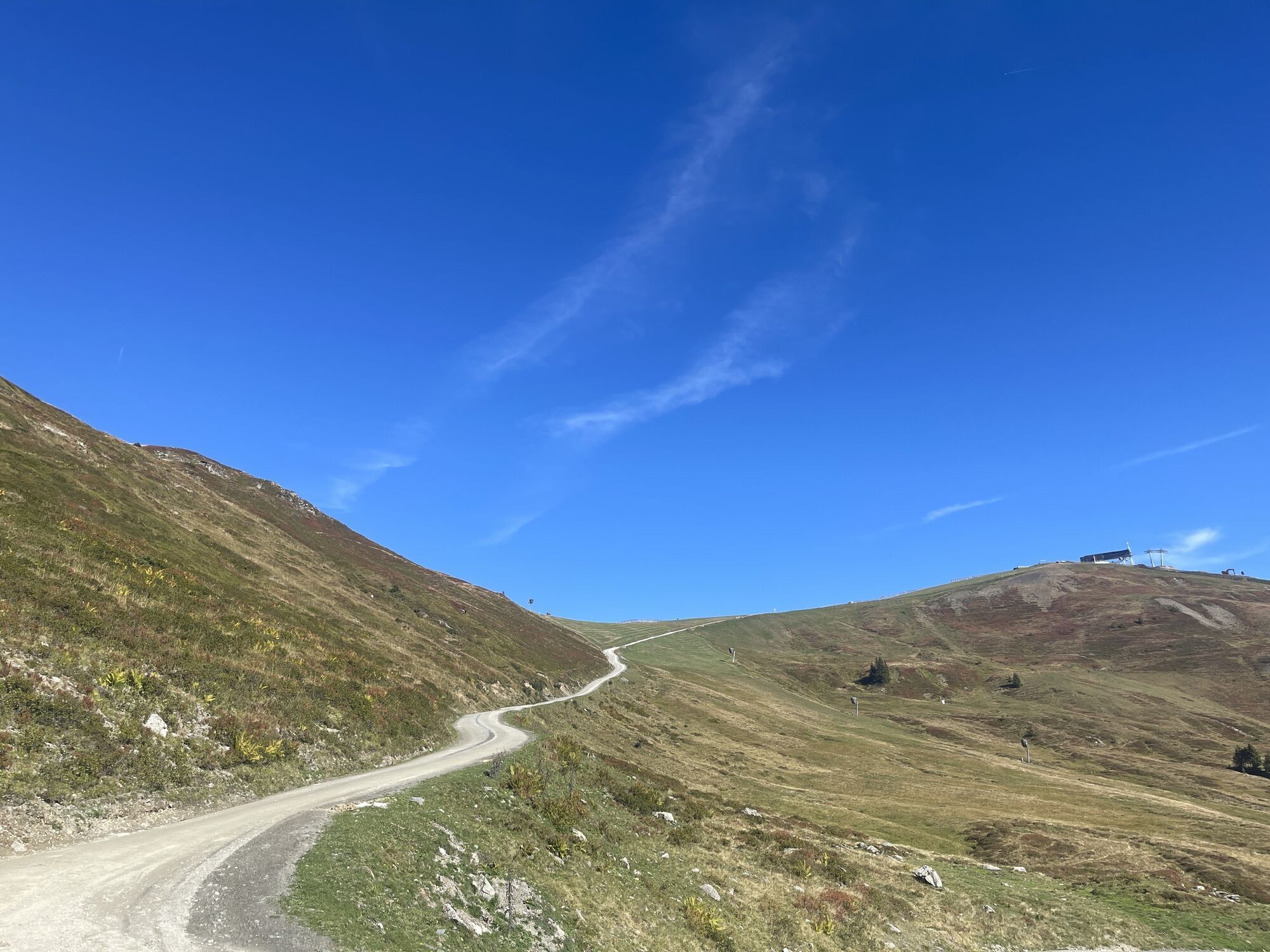
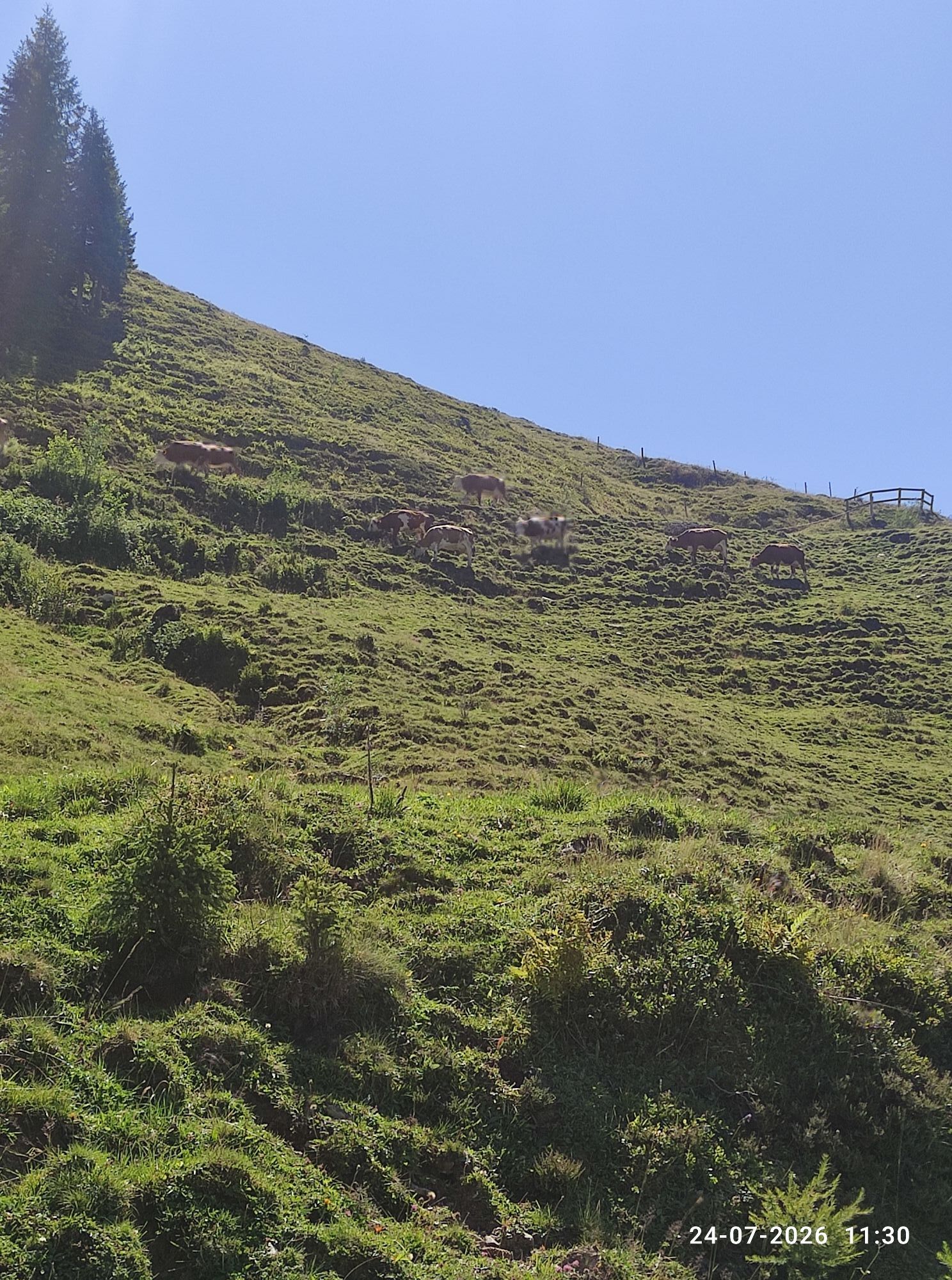
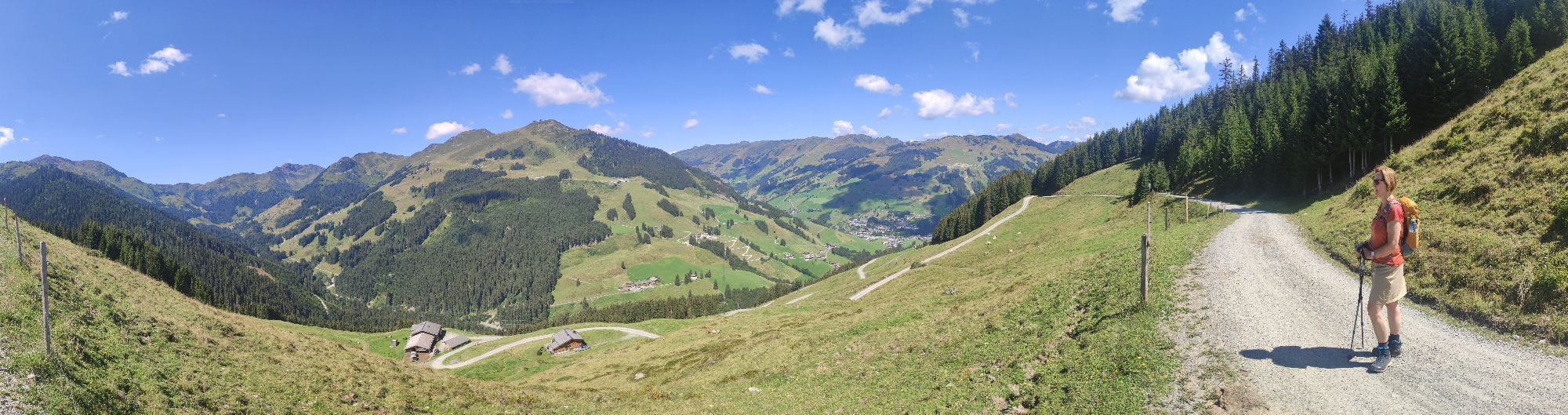
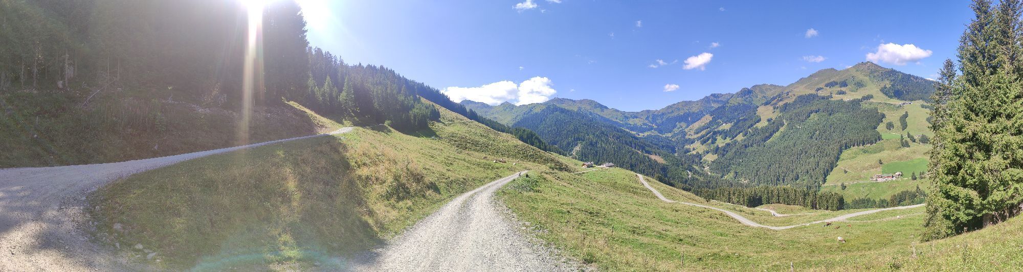
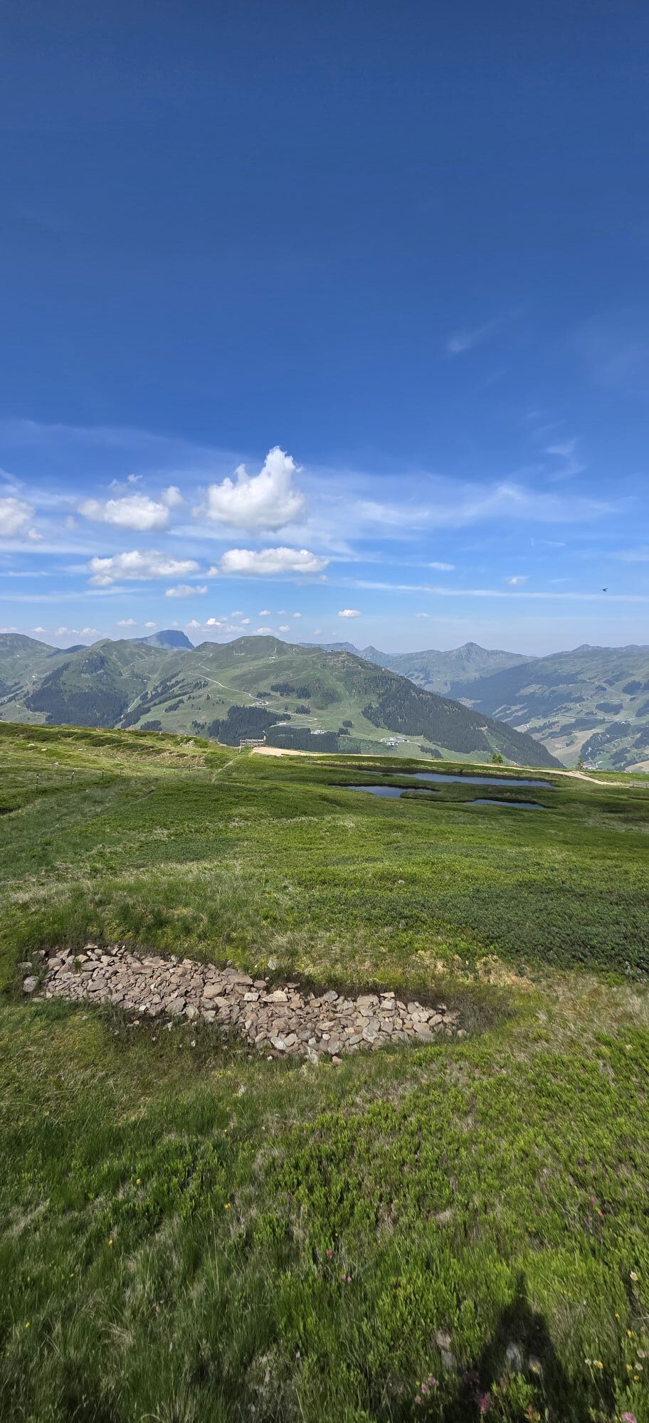
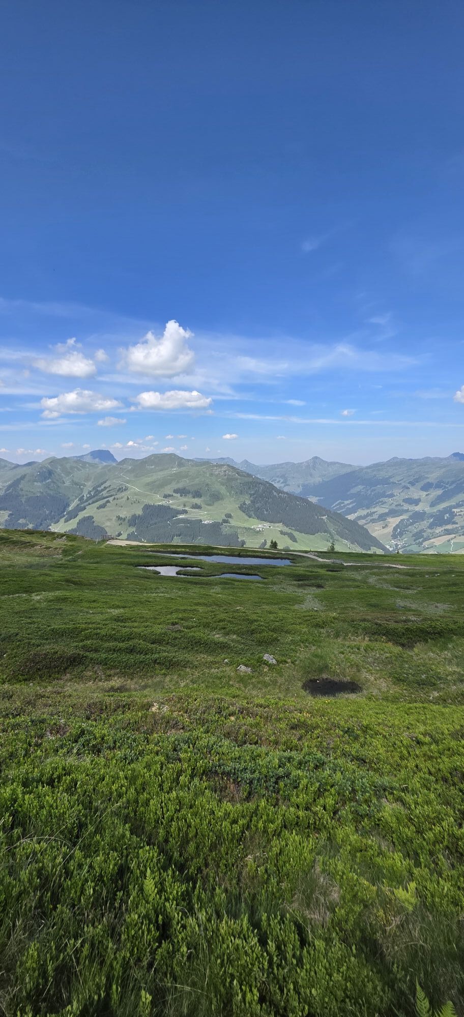
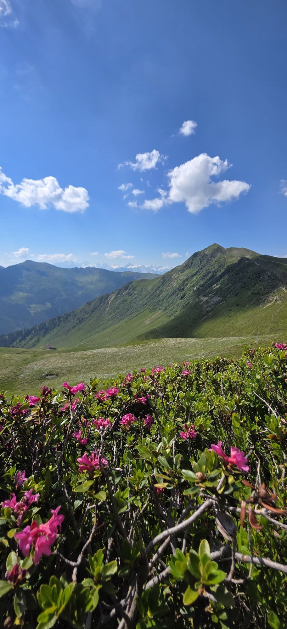
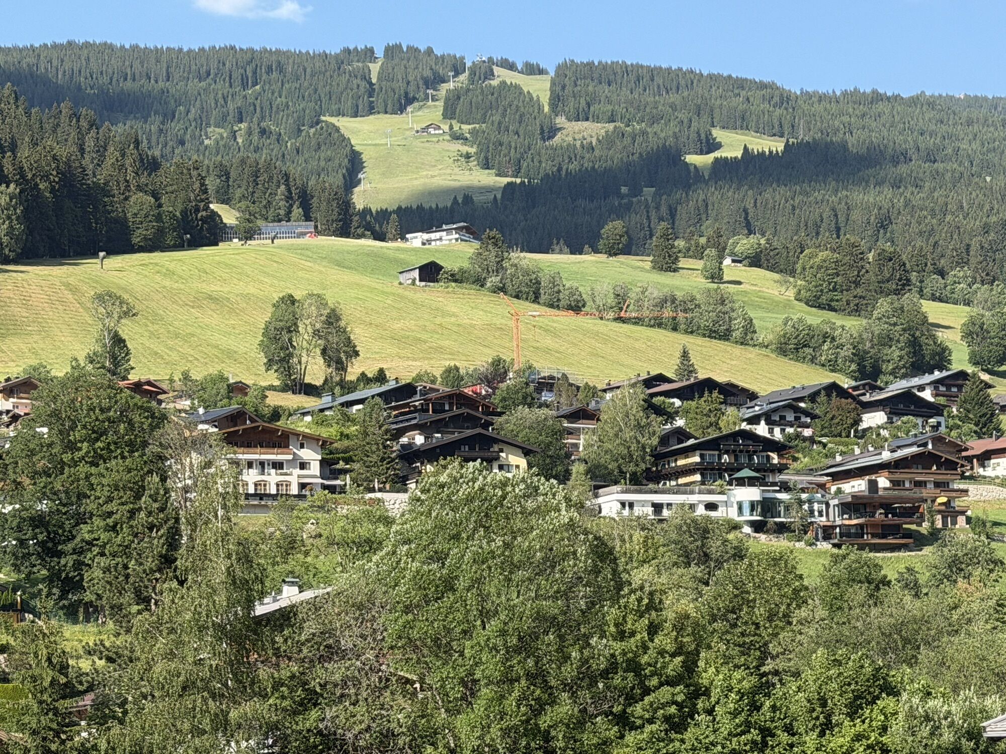
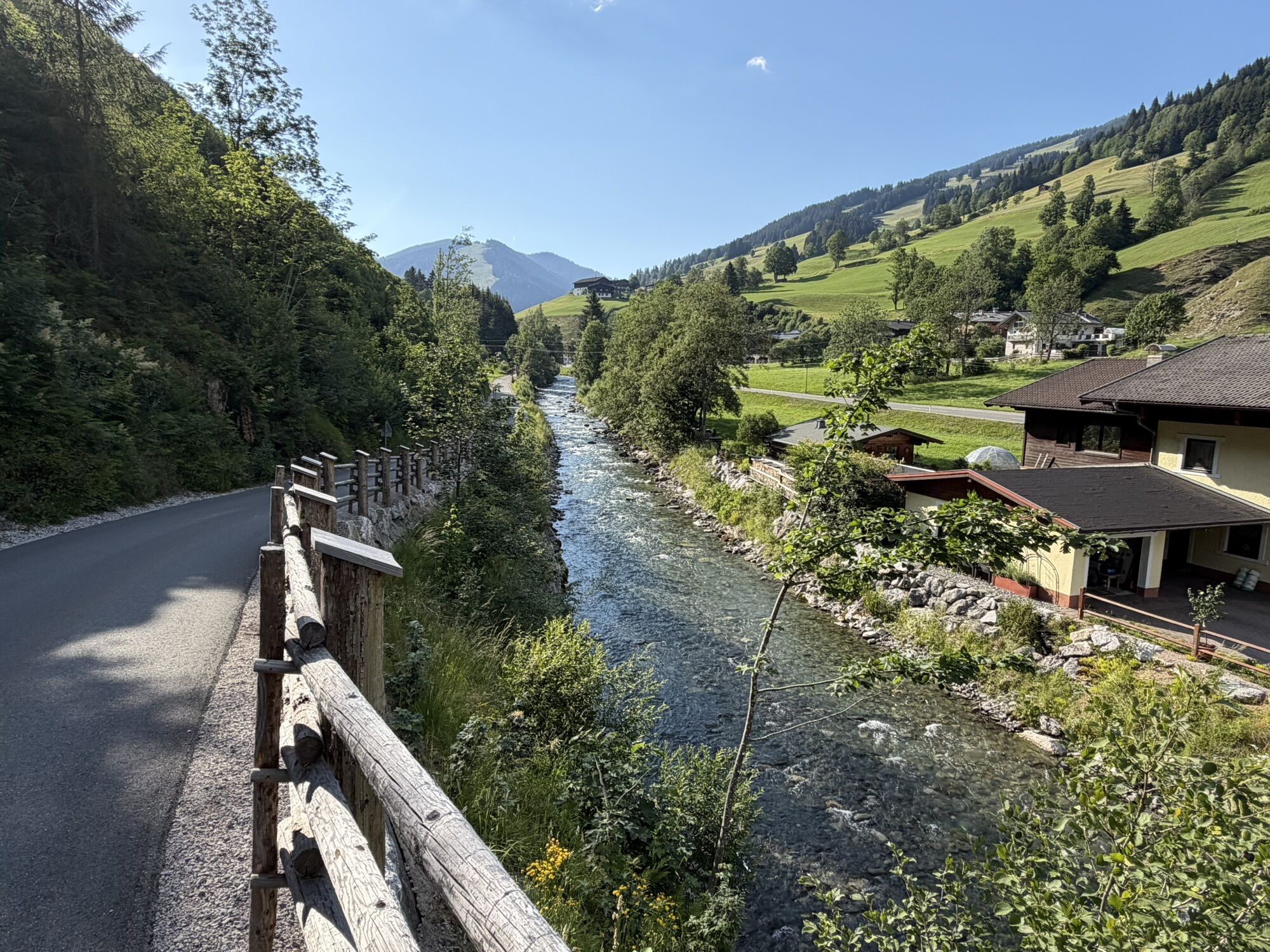
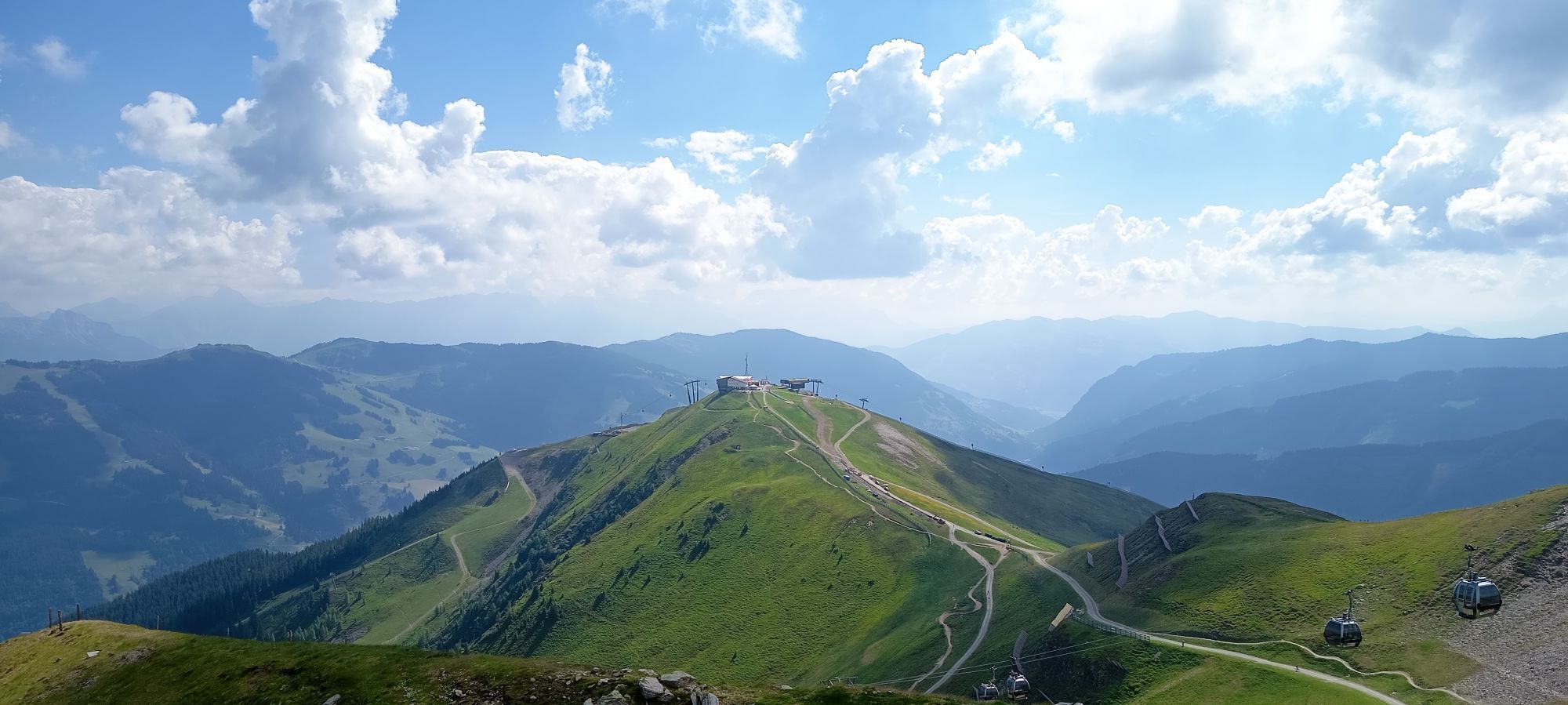
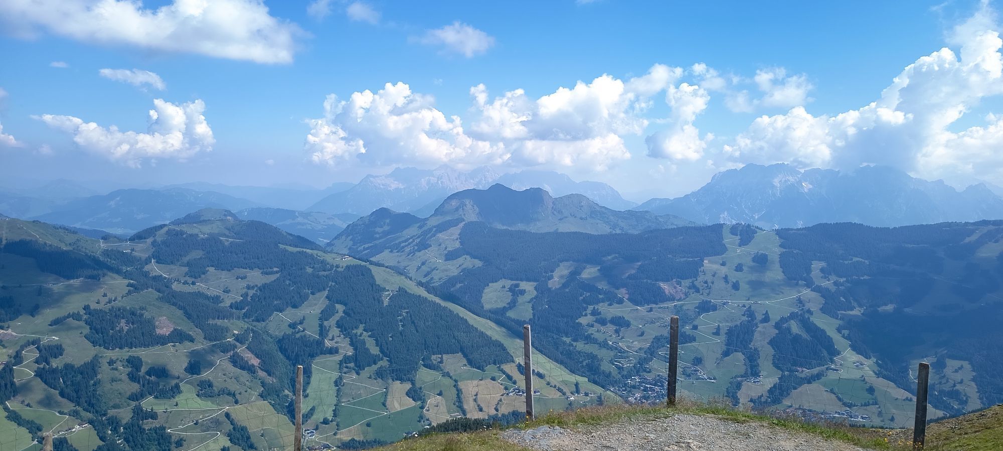
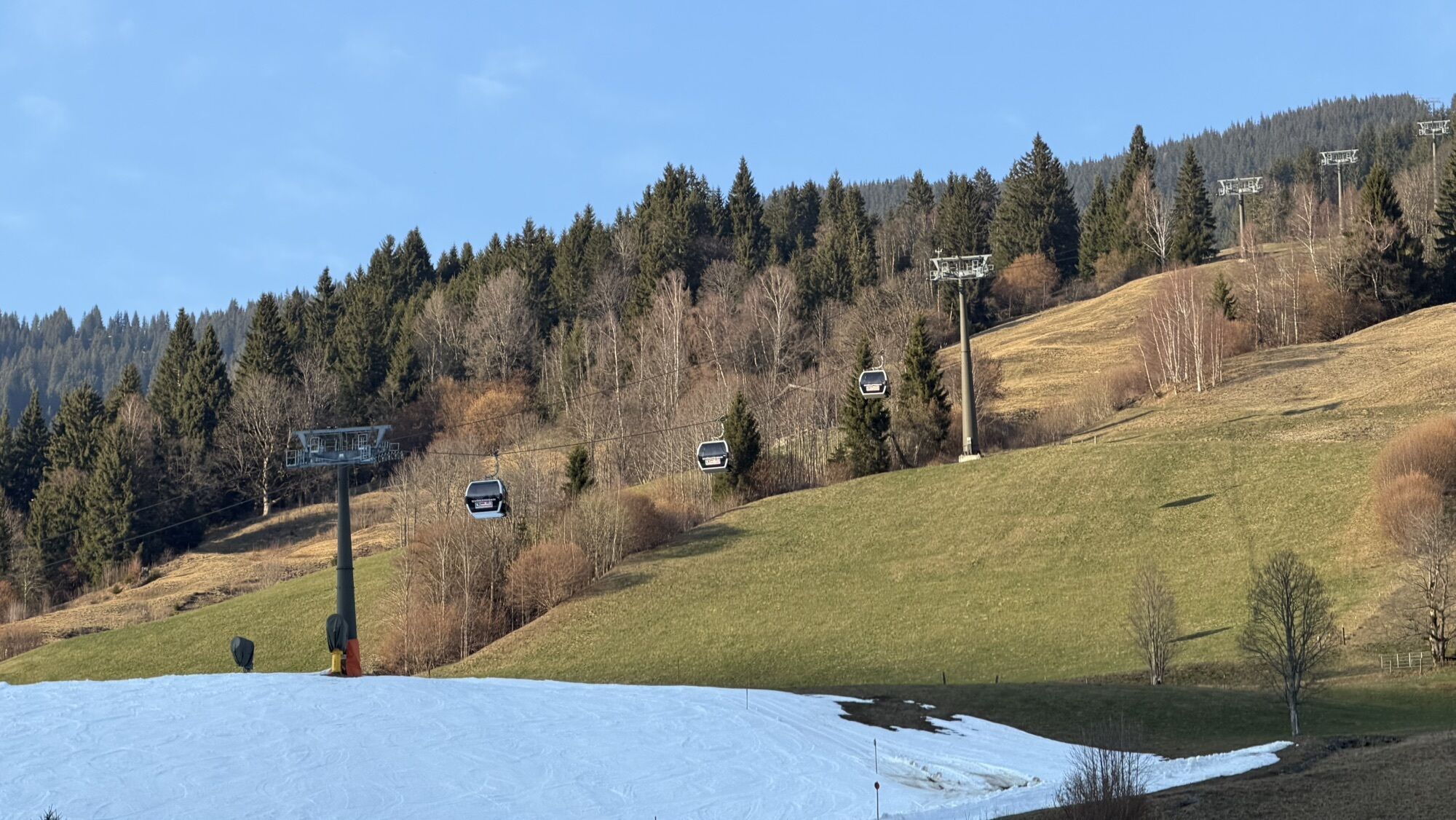
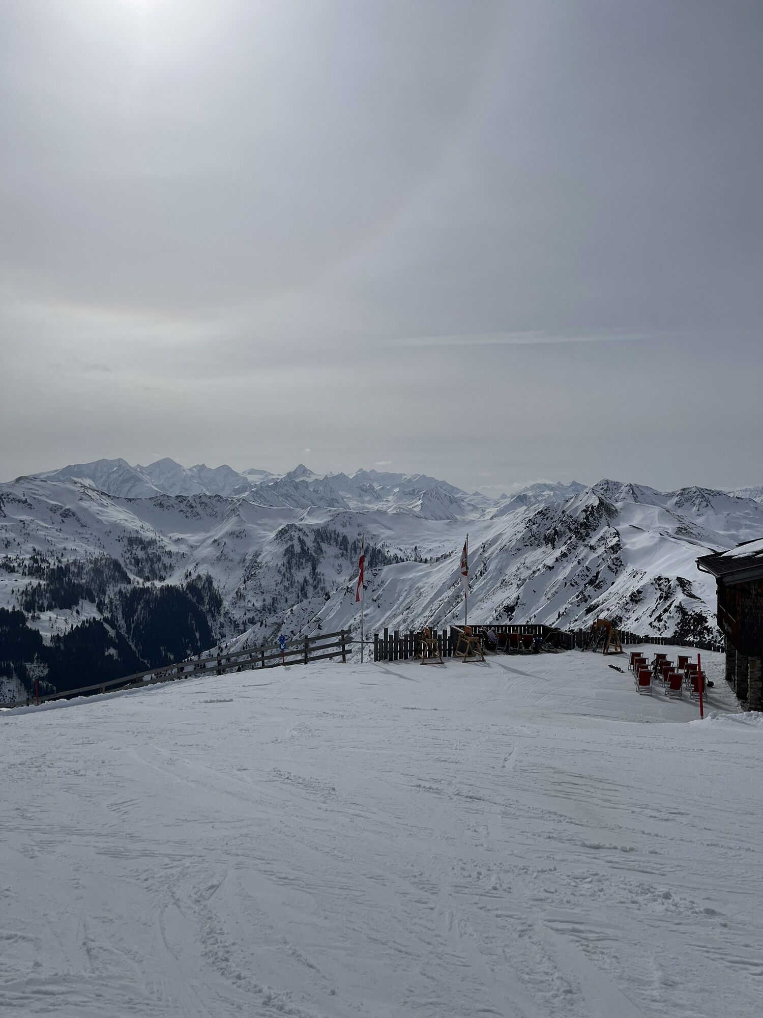
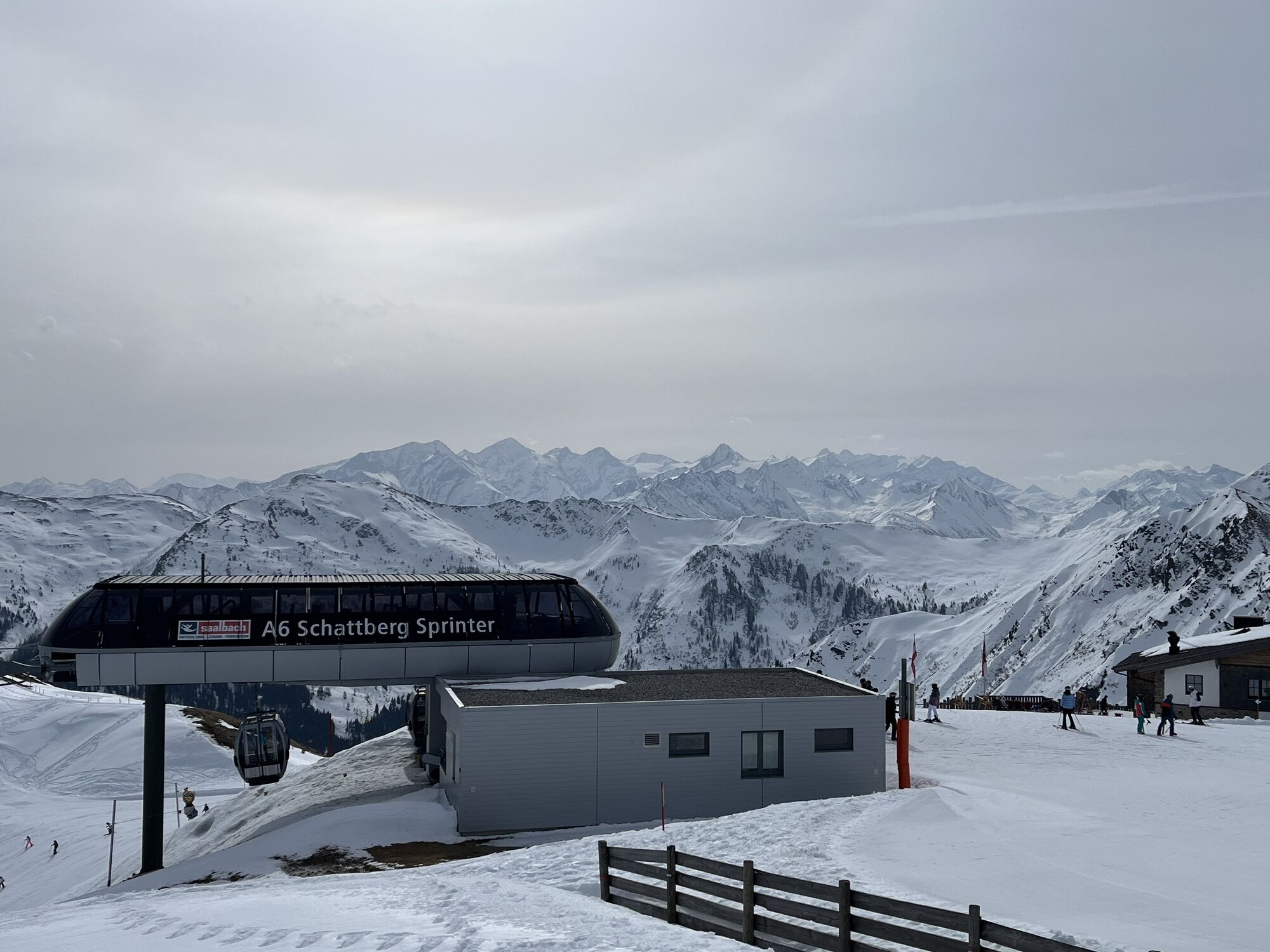
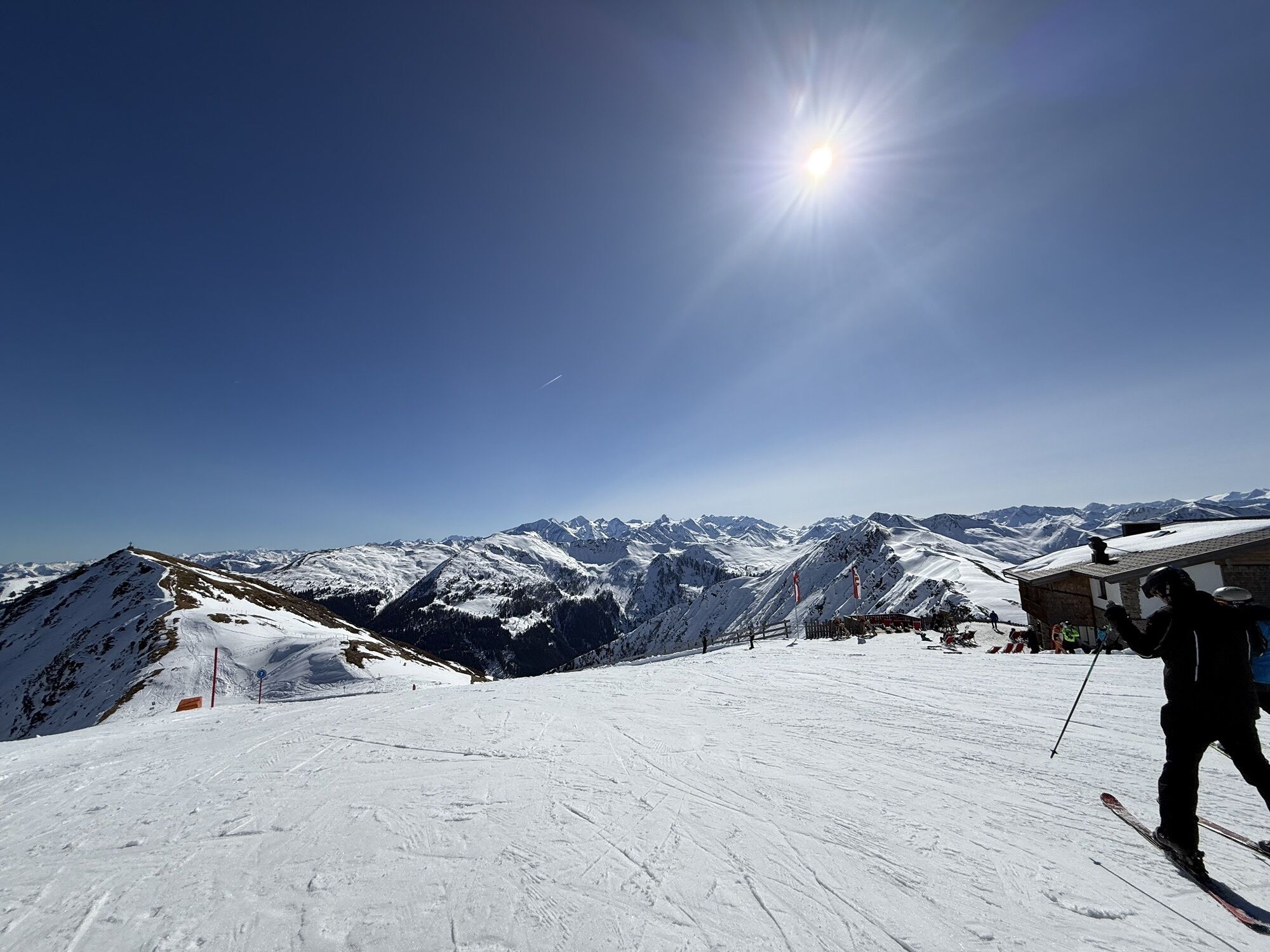
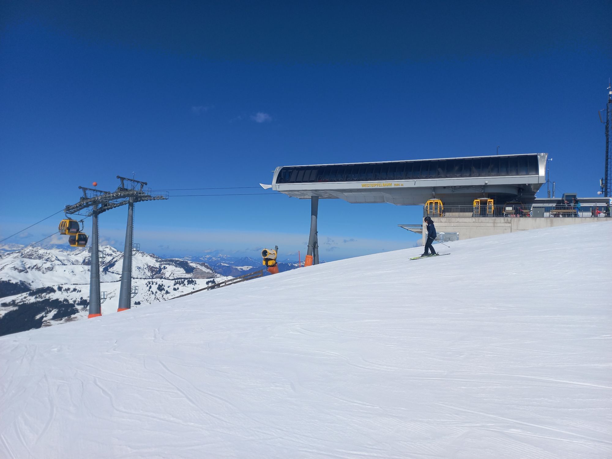
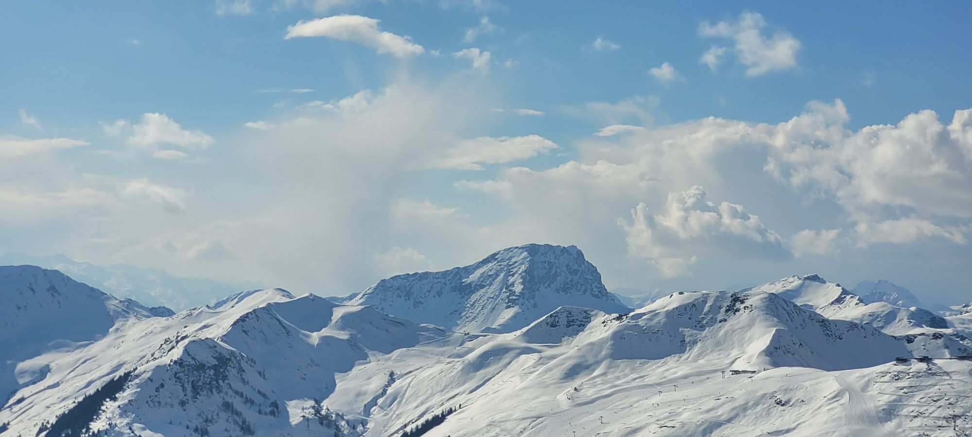
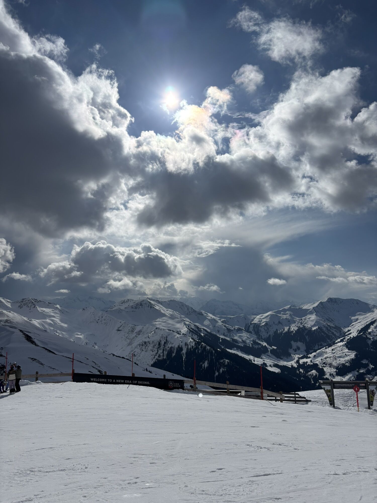
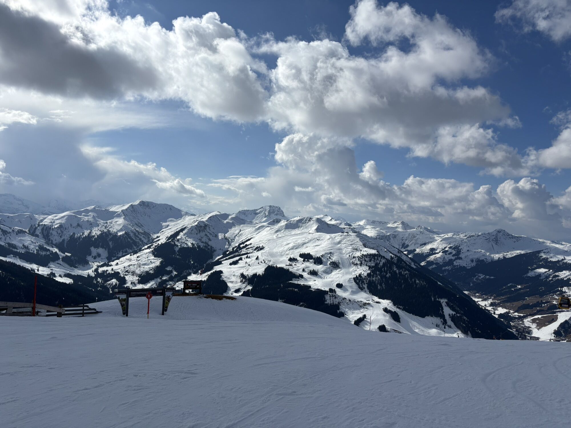
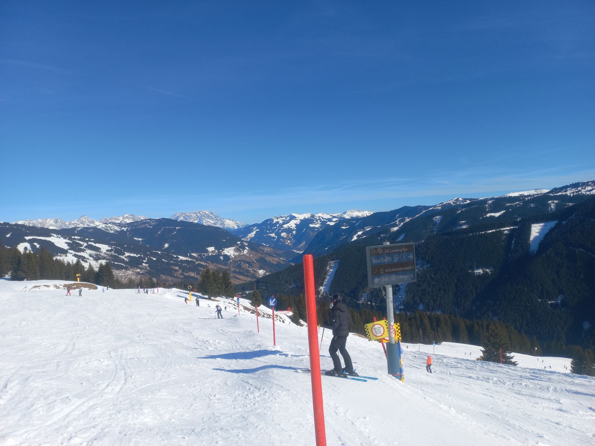
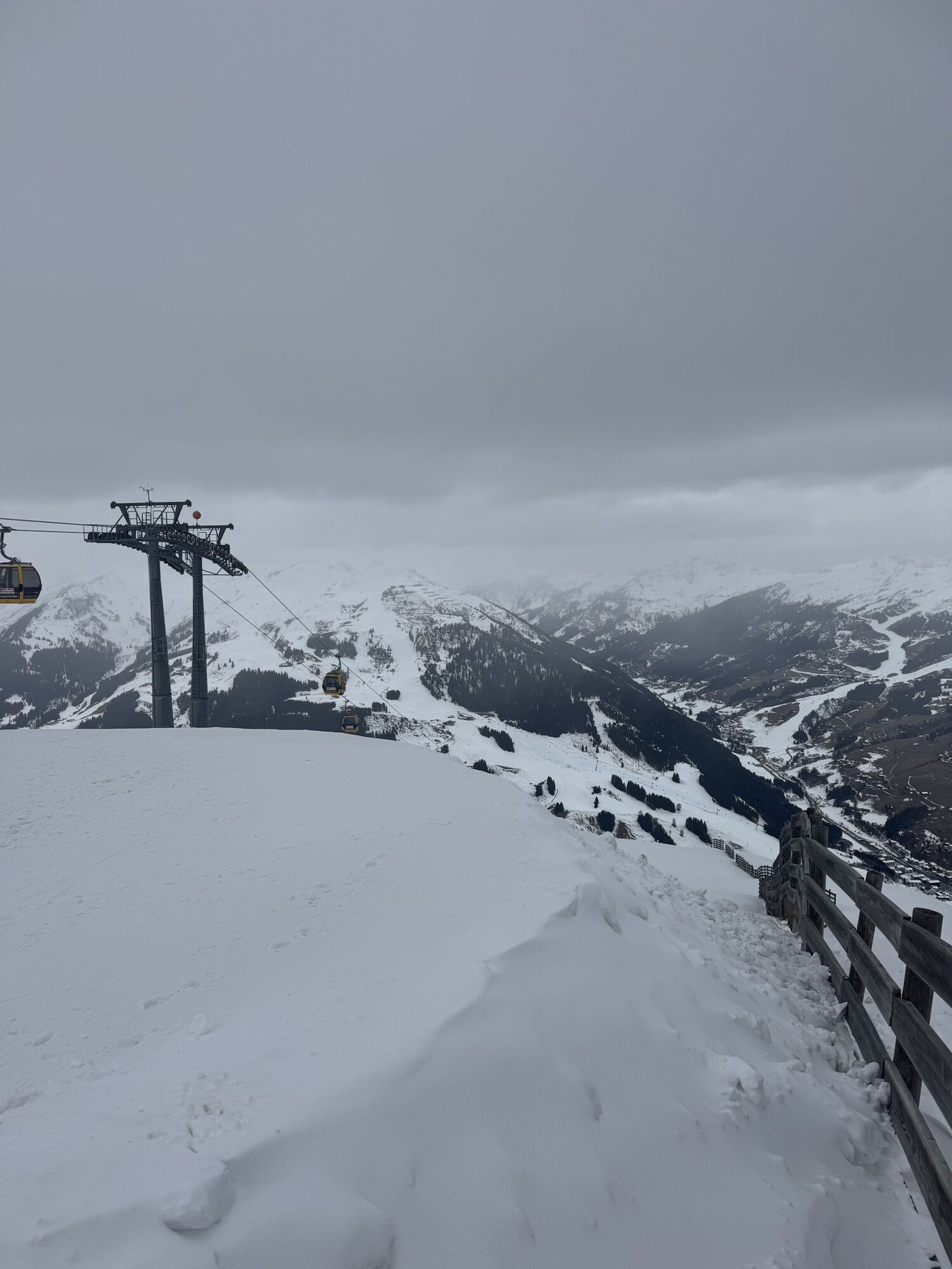
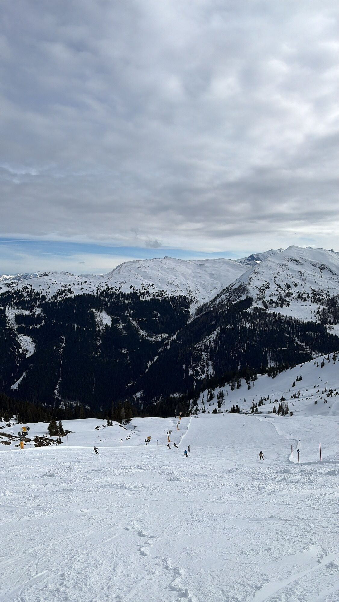
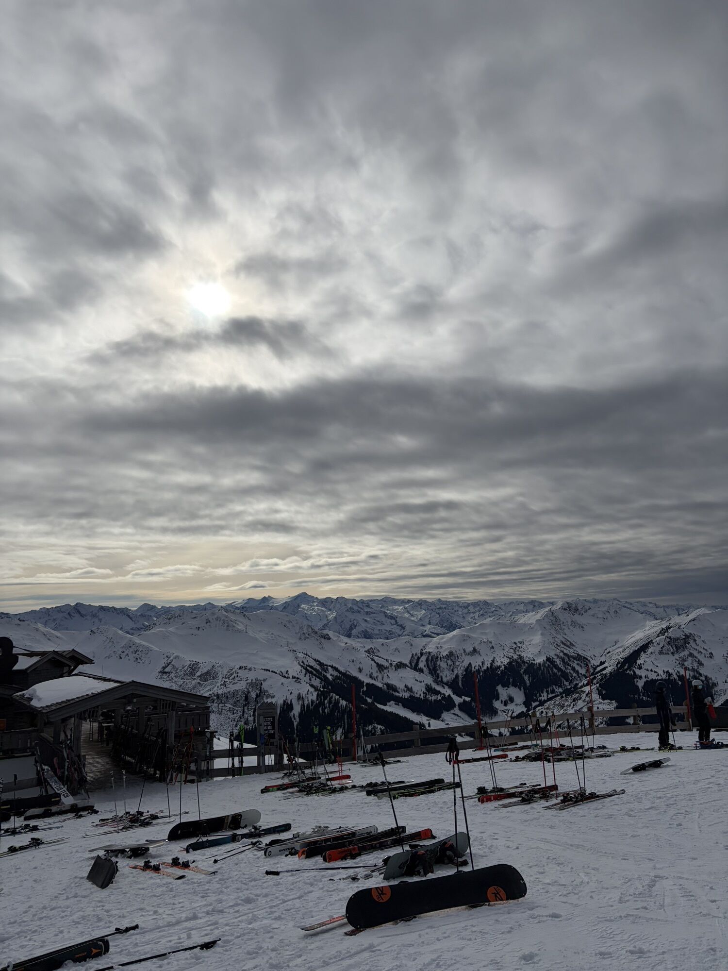
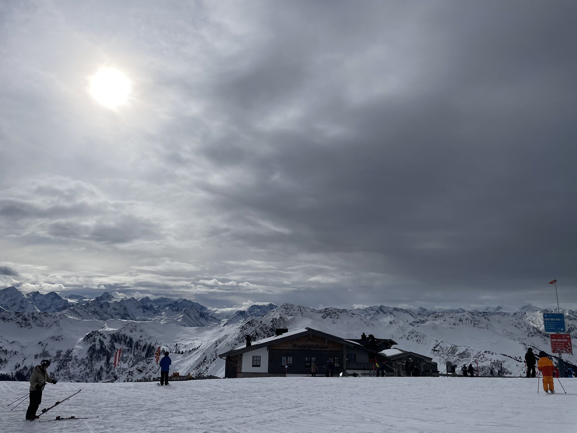
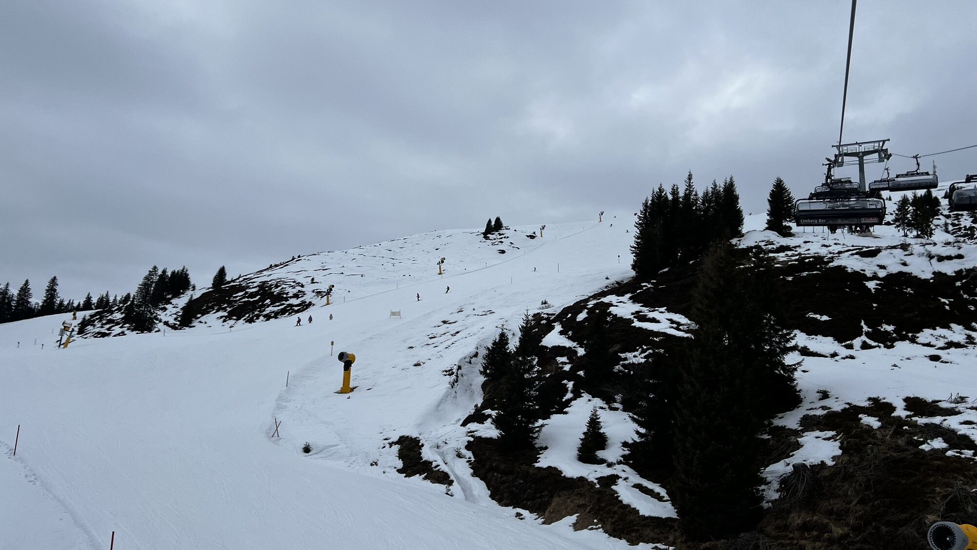
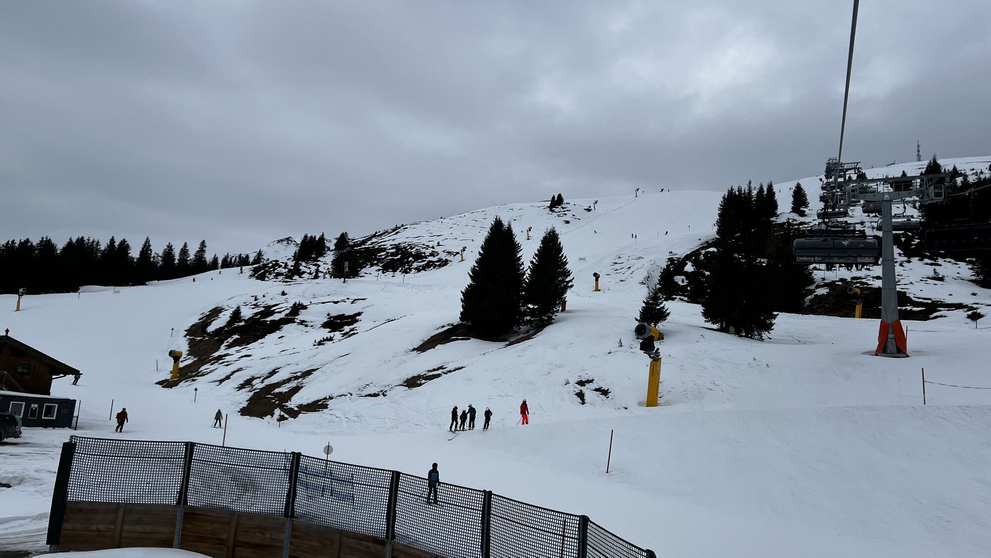
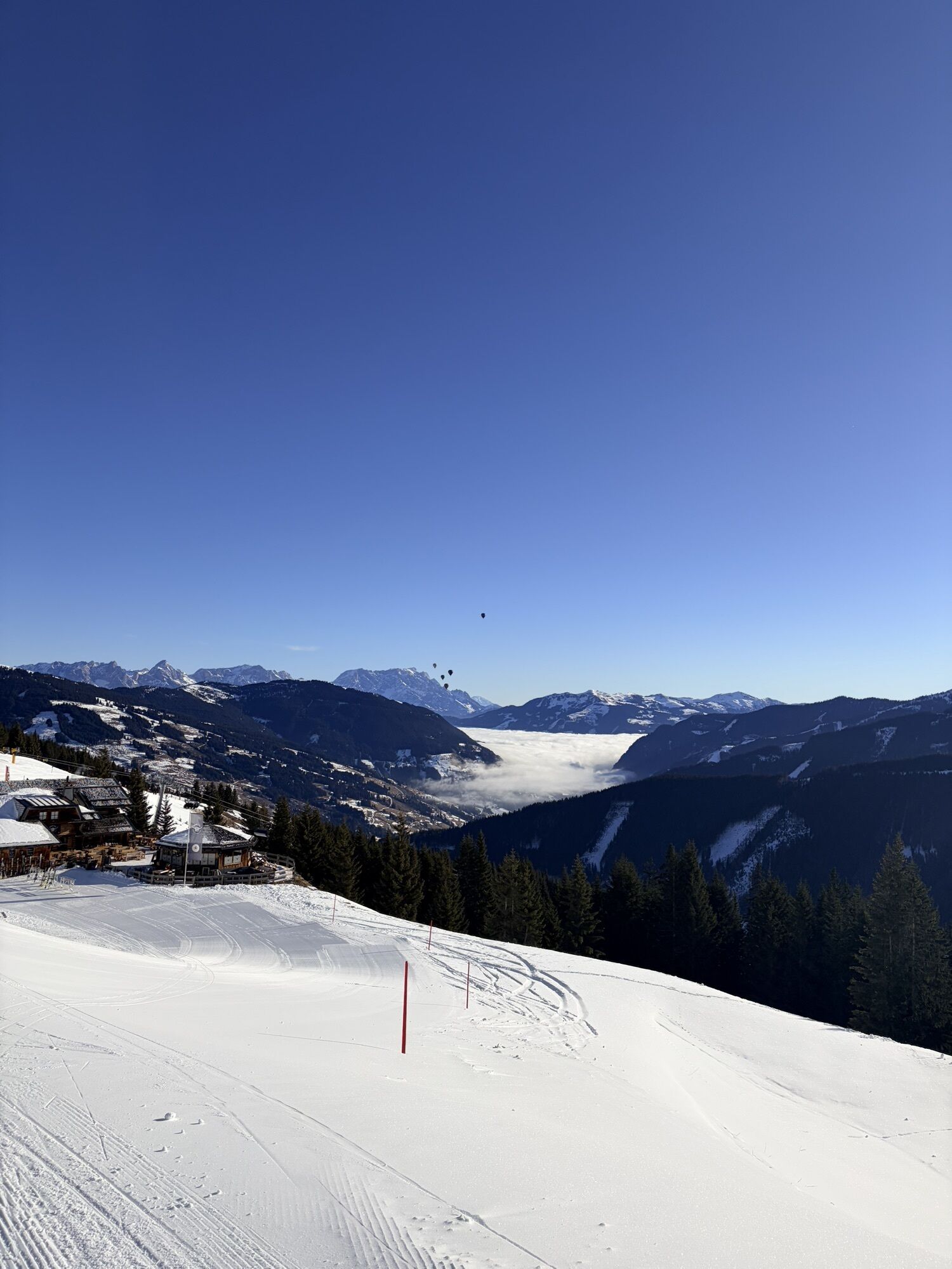
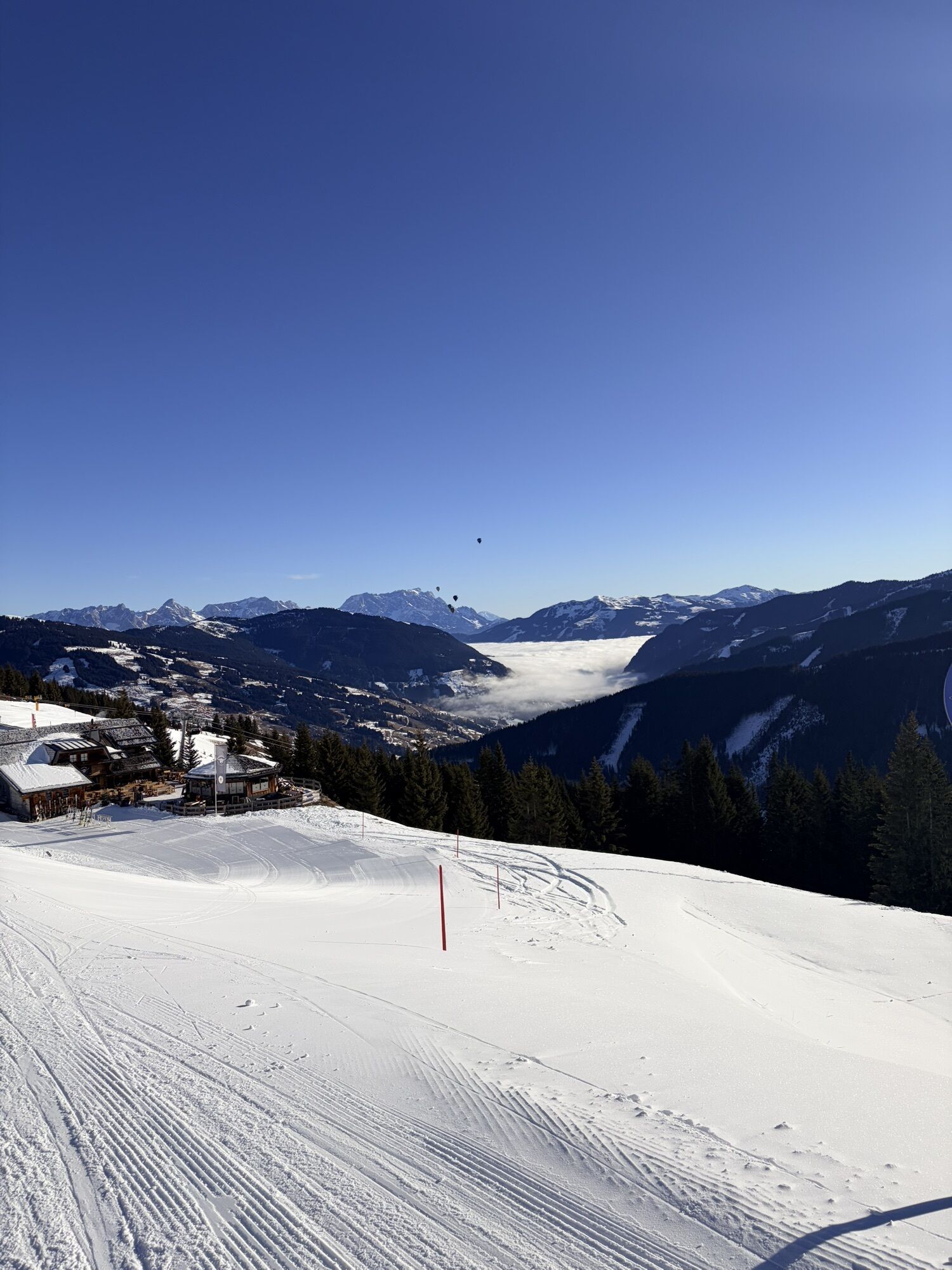
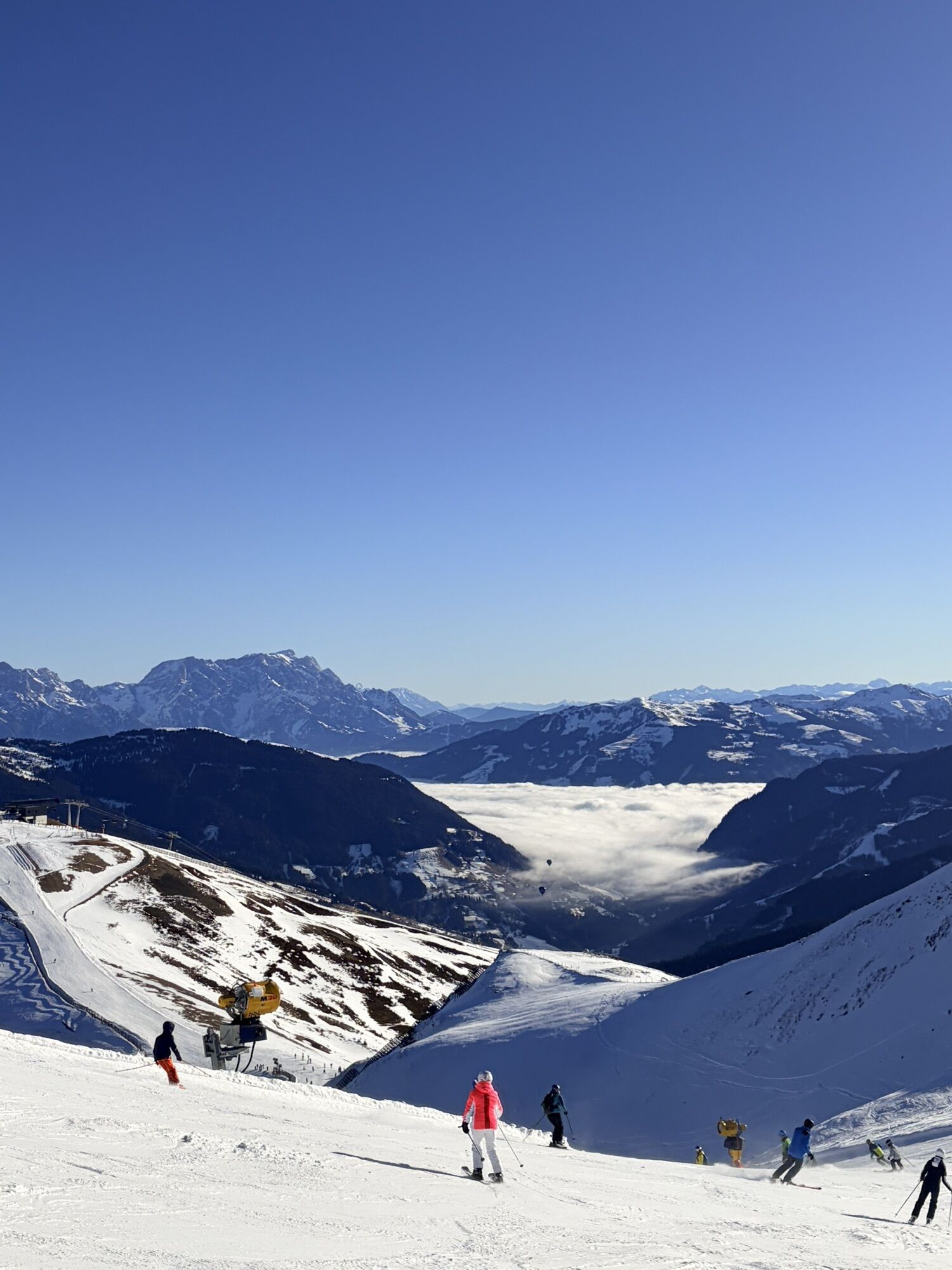
From the Schattberg X-Press, take the Glemmtal cycle path to Jausern and turn right into the Löhnersbachgraben. This is where the long but very varied climb up the Schattberg begins. Many serpentines lead...
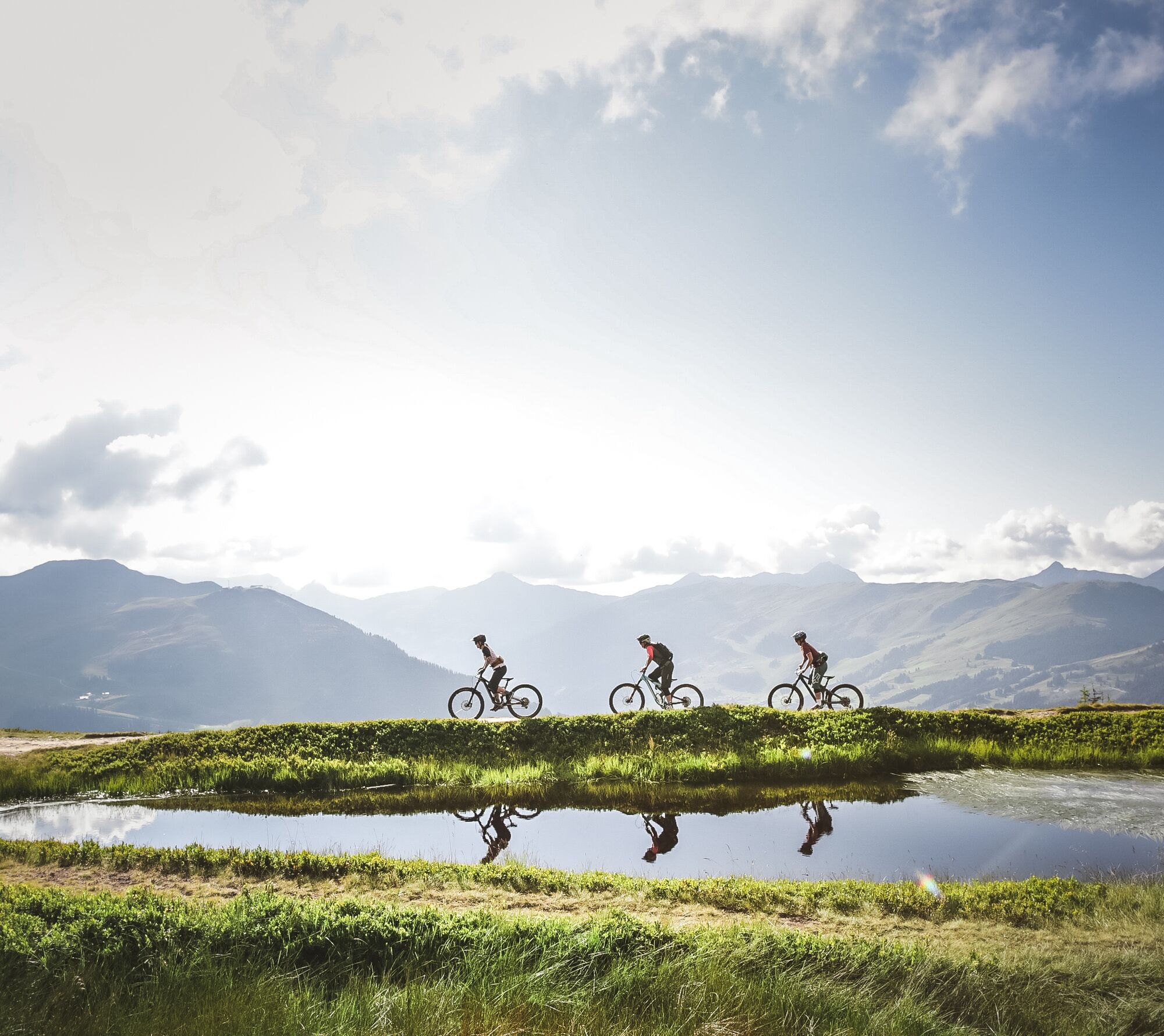
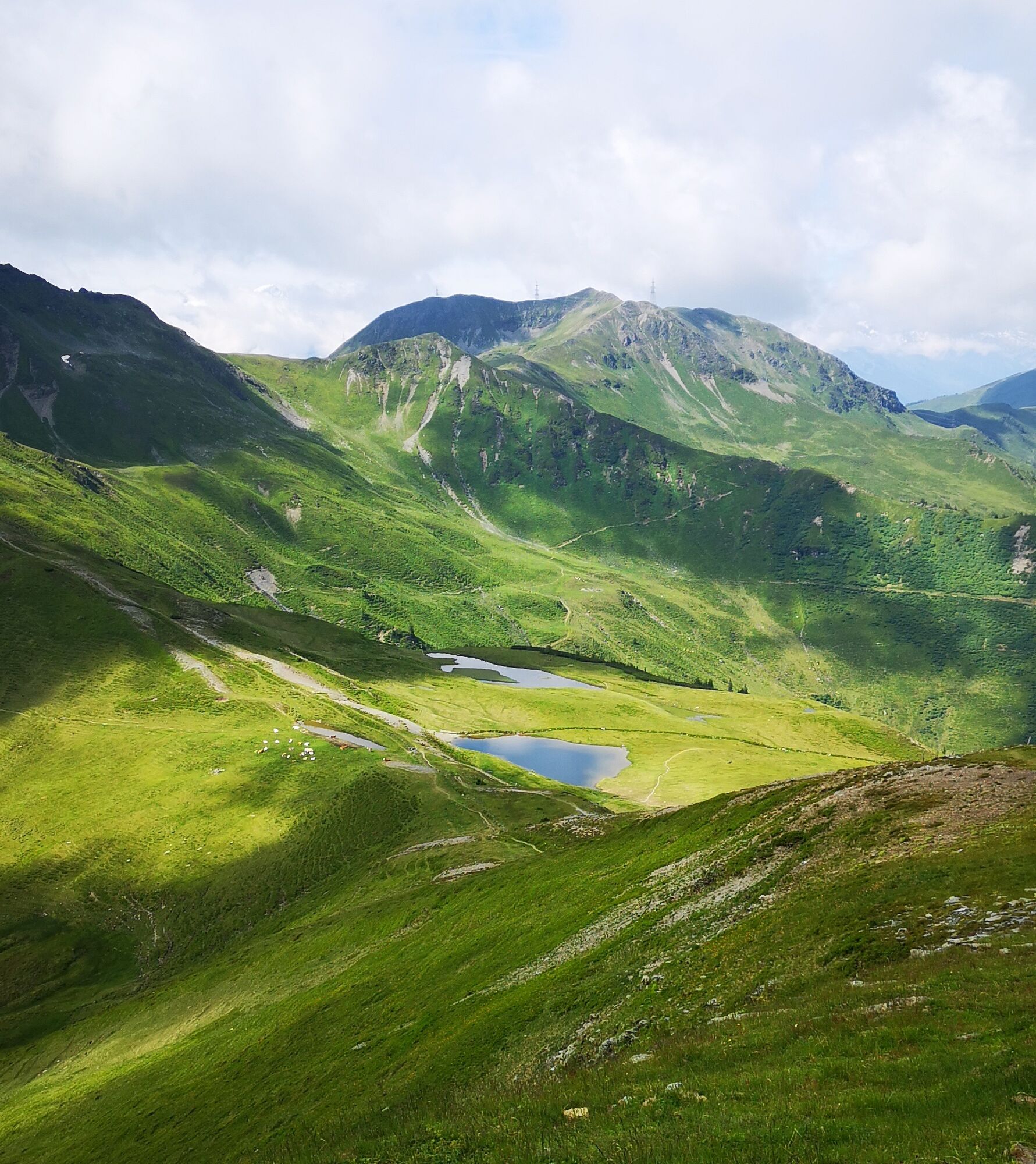
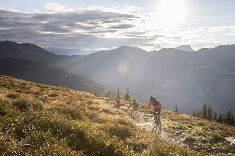
From the Schattberg X-Press, take the Glemmtal cycle path to Jausern and turn right into the Löhnersbachgraben. This is where the long but very varied climb up the Schattberg begins. Many serpentines lead through sunny alpine pastureland with lots of grazing cattle and two managed alpine pastures to the double summit of the Schattberg. Here you have several options: If you don't like trails, turn around and go back the same way. If you want to complete a spectacular trail, get on the technical X-Line and return directly to the starting point. The "normal" course of the Schattberg loop is on sheer endless flowing trails, first via the Hacklberg trail, later via the Buchegg trail. Pure downhill fun down to Hinterglemm and via the Glemmtal cycle path back to the starting point.

Tak
Download the track sheet.

Kamery internetowe z trasy
-
Schattberg - West
-
Asitz Gipfel
-
Berghotel Seidl-Alm
-
Kohlmais Tal
-
Großer Asitz / Gipfelkreuz
-
Saalbach-Hinterglemm - Schattberg Ost
-
Saalbach-Hinterglemm - Zwölferkogel
-
Saalbach-Hinterglemm - Wildenkarkogel
-
Zwölferkogel
-
Wildenkarkogel
-
Saalbach-Hinterglemm - Kohlmais
-
Kohlmaiskopf
-
Leogang - Grosser Asitz
-
zellamseeXpress
-
Martenhof
-
Wohlfühlhotel-Johanneshof
-
Eberharthof - Saalbach-Hinterglemm
-
Hochalm Mittelstation
Uzyskaj wgląd
Zawsze na żywo z ponad 9 500 kamer internetowych. bergfex Jako użytkownik Pro, możesz teraz zobaczyć odpowiednie kamery internetowe dla wielu wycieczek w aplikacji wycieczki od. Pozwala to na bezpośredni podgląd aktualnych warunków.

Popularne wycieczki w okolicy
-
4,3
Maurerkogel (Top)
Wędrówka 10,5 km -
4,2
Passauer Hütte
ciężkiWędrówka 4,14 km -
4,6
Lettlkaser
średniWędrówka 4,40 km -
4,1
Berg der Sinne
światłoWędrówka 4,39 km -
4,6
Birnbachloch Leogang, Österreich
średniWędrówka 5,18 km -
4,6
Thumersbach, Runde um den Zeller See
światłoWędrówka 13,3 km -
4,9
Hochsonnberg Runde
średniMountainbike 59,8 km -
4,6
Panorama route 3 peaks and 2 lakes
średniWędrówka 7,21 km -
4,9
Schmittenhöhe - Hochsonnbergalm - Pinzgauer Hut
średniWędrówka 9,09 km -
4,3
Saalachtaler Höhenweg EAST (Asitz - Biberg)
średniWędrówka 13,1 km
Wędrówki i tropienie


Nie przegap ofert i inspiracji na następne wakacje
Twój adres e-mail została dodana do listy mailingowej.





