







Over the hills

Poziom trudności: 2
Goričko is downright ideal for exploring on a bicycle as there is almost no traffic and the terrain is not very steep. The small farms preserve a view of a world that is slowly disappearing. If you are...
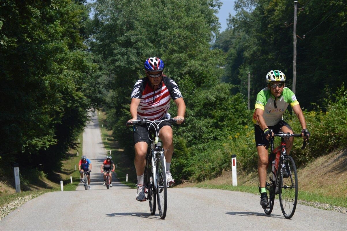
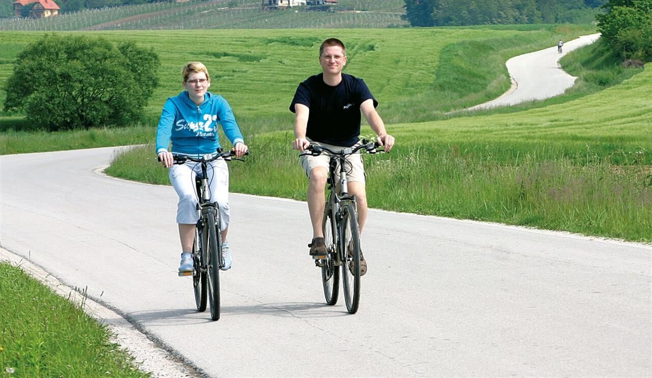
Goričko is downright ideal for exploring on a bicycle as there is almost no traffic and the terrain is not very steep. The small farms preserve a view of a world that is slowly disappearing. If you are an early bird, you can admire the wonderful hills bathing in the rising sun, which will fill your heart with joy. You can also visit the church of Saint Martin in Martjanci, which features beautiful frescos by Janez Akvila, or try home-made ham and other traditional delicacies. The trail, which features a single, mild slope, is suitable for those who enjoy quiet areas with little or no traffic.

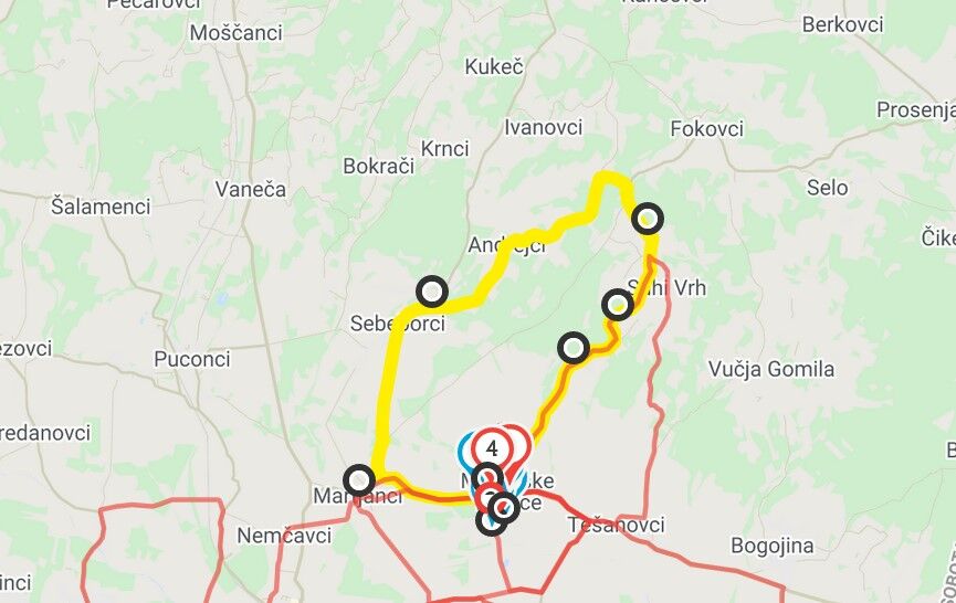

Moravske Toplice - Martjanci - Sebeborci - Andrejci - Zgornji Moravci - Moravske Toplice
Tak
Helmet
Nothing special
Turn off to Moravske Toplice from highway Maribor-Lendava
Local bus from Murska Sobota
Available
2
A mild slope at one section

Popularne wycieczki w okolicy
-
5,0
3-country cycle route
ciężkiJazda na rowerze 65,7 km -
4,5
Schloss-Tour - Grad
średniJazda na rowerze 44,4 km -
3,0
Herberstorff-Tour
światłoJazda na rowerze 29,8 km -
Verzej-Tour
światłoJazda na rowerze 47,6 km -
5,0
Rotunda
średniJazda na rowerze 29,7 km -
Enchanted
średniJazda na rowerze 28,6 km -
5,0
I Have Neither the Time nor the Will
światłoJazda na rowerze 5,12 km -
The World Champion Trail
światłoDroga rowerowa 17,4 km -
4,0
The trail of Wine huts
światłoWędrówka 11,7 km -
4,0
Up the First Hill
światłoWędrówka 5,29 km

Wędrówki i tropienie


Nie przegap ofert i inspiracji na następne wakacje
Twój adres e-mail została dodana do listy mailingowej.





