







Rotunda
Poziom trudności: 2
The rich cultural heritage in the Goričko area offers visitors experiences in a slightly different way. Through the varied landscape, the route leads to the most remarkable monument of Romanesque architecture...
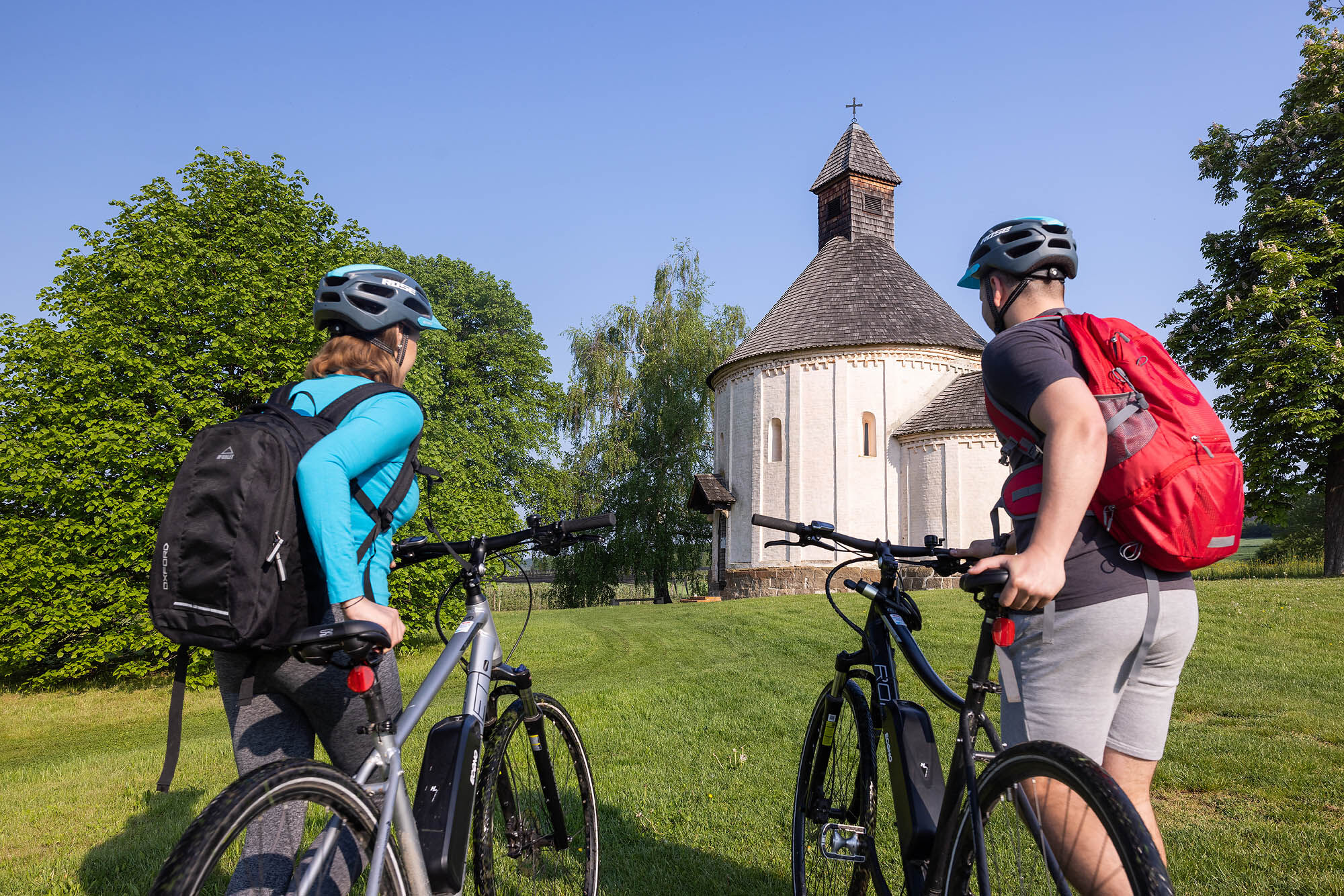
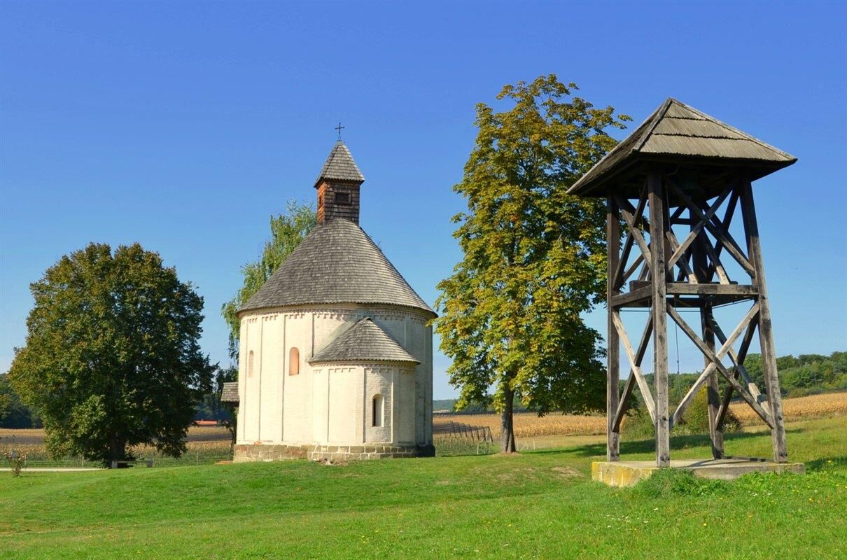
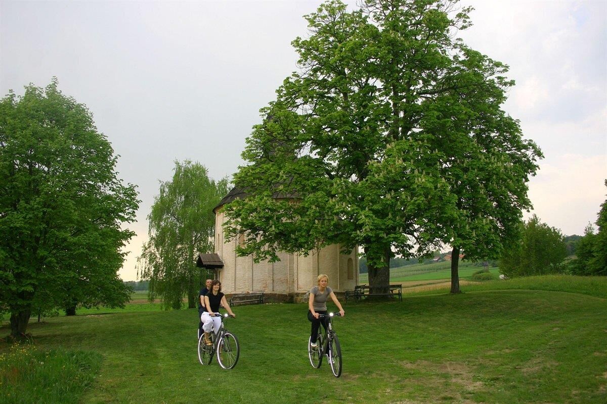
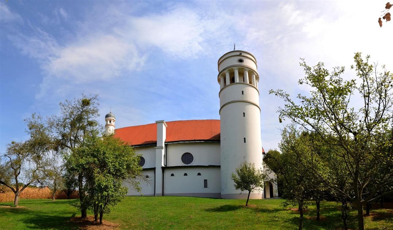
The rich cultural heritage in the GoriÄko area offers visitors experiences in a slightly different way. Through the varied landscape, the route leads to the most remarkable monument of Romanesque architecture and Gothic painting – the Rotunda of St. Nicholas in Selo, where virtual reality takes you through history.
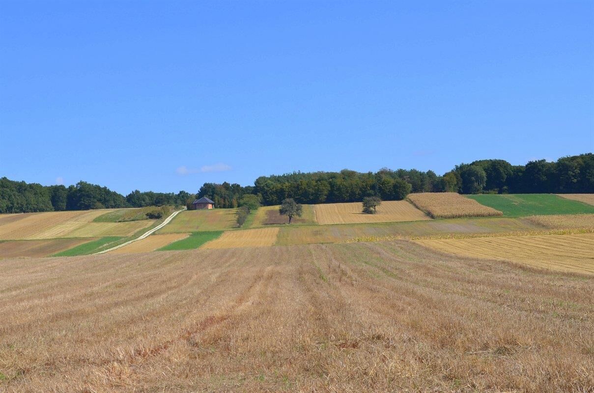
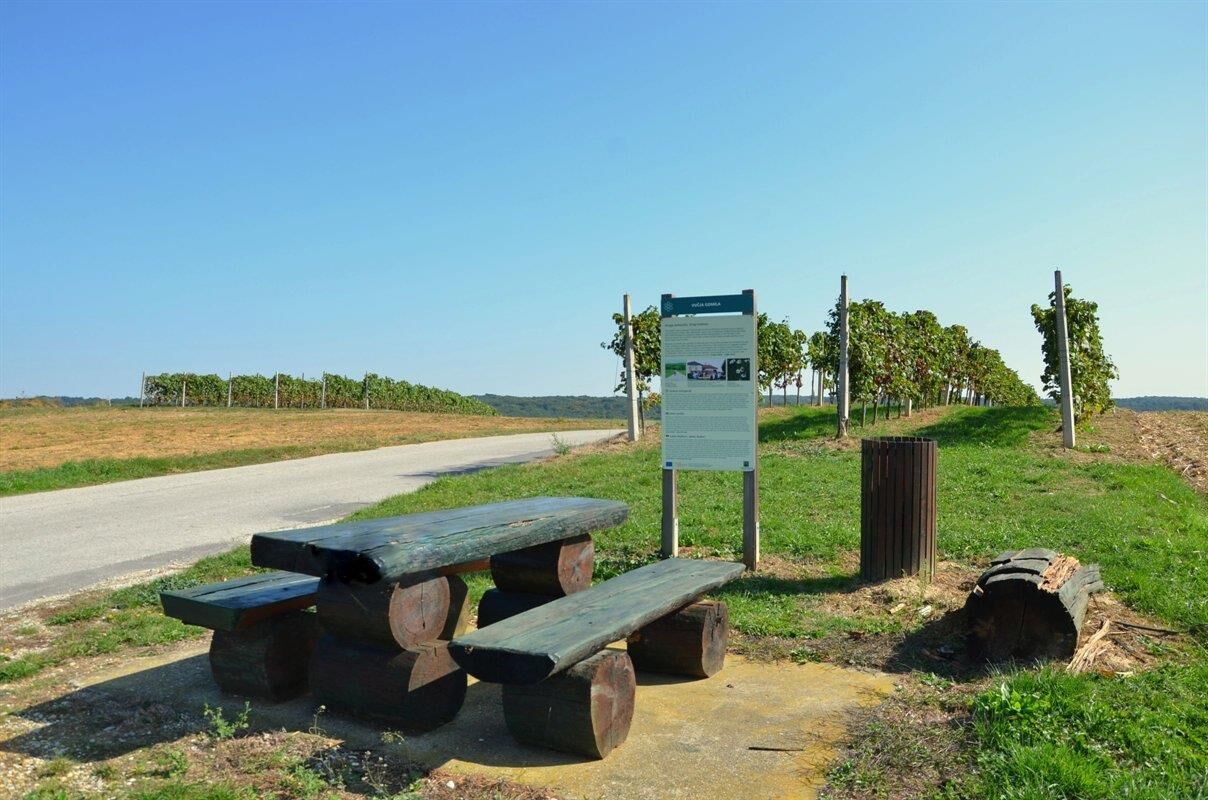
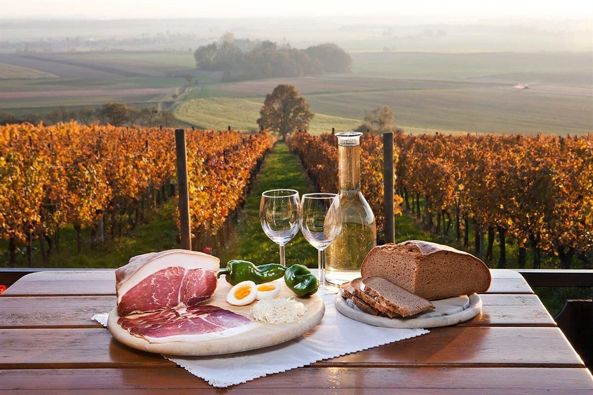
The path runs through a multicultural space on the border with Hungary, intertwining two languages, two cultures, several faiths, and various culinary specialties. Along the entire route (35 km) you will enjoy beautiful views. After the climb to VuÄja Gomila, a descent awaits to the romantic rotunda in Selo. The construction of the Rotunda of St. Nicholas, a round Romanesque church from the first half of the 13th century, was initially attributed to mysterious Templars. Later it turned out that the Crusaders built it. For those eager for new discoveries, in Prosenjakovci you will find the ruins of the Matzenau manor from the 19th century.

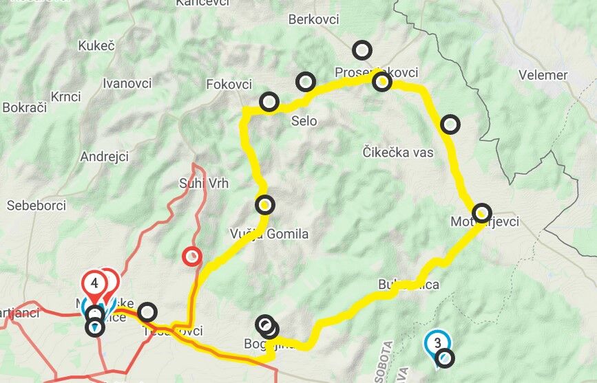

Moravske Toplice - Tešanovci - VuÄja Gomila - Selo - Prosenjakovci - Pordašinci - Motvarjevci - Bukovnica - Bogojina - Tešanovci - Moravske Toplice
Tak
Helmet, water
No special features
Maribor - Lendava highway, exit at Moravske Toplice and follow the signs
Local bus from Murska Sobota, train also runs to Murska Sobota
Available
2
The route is somewhat more difficult; the majority runs on local roads, suitable for more demanding or casual cyclists. The route is marked on the ground.
Be sure to visit the Rotunda
 Uzyskaj wgląd Zawsze na żywo z ponad 9 500 kamer internetowych. bergfex Jako użytkownik Pro, możesz teraz zobaczyć odpowiednie kamery internetowe dla wielu wycieczek w aplikacji wycieczki od. Pozwala to na bezpośredni podgląd aktualnych warunków.
Popularne wycieczki w okolicy
Enchanted
średniJazda na rowerze 28,6 km- 5,0
I Have Neither the Time nor the Will
światłoJazda na rowerze 5,12 km Over the hills
średniJazda na rowerze 15,7 kmThe World Champion Trail
światłoDroga rowerowa 17,4 km- 4,0
The trail of Wine huts
światłoWędrówka 11,7 km - 4,0
Up the First Hill
światłoWędrówka 5,29 km The trail of romance
światłoJazda na rowerze 17,5 km- 2,0
Martjanci Trail
światłoWędrówka 7,82 km Let's go to Vogrsko
średniJazda na rowerze 51,4 kmGreen Trail
światłoWędrówka 5,38 km
Wędrówki i tropienie


Nie przegap ofert i inspiracji na następne wakacje
Twój adres e-mail została dodana do listy mailingowej.





