


3-country cycle route
Poziom trudności: 5
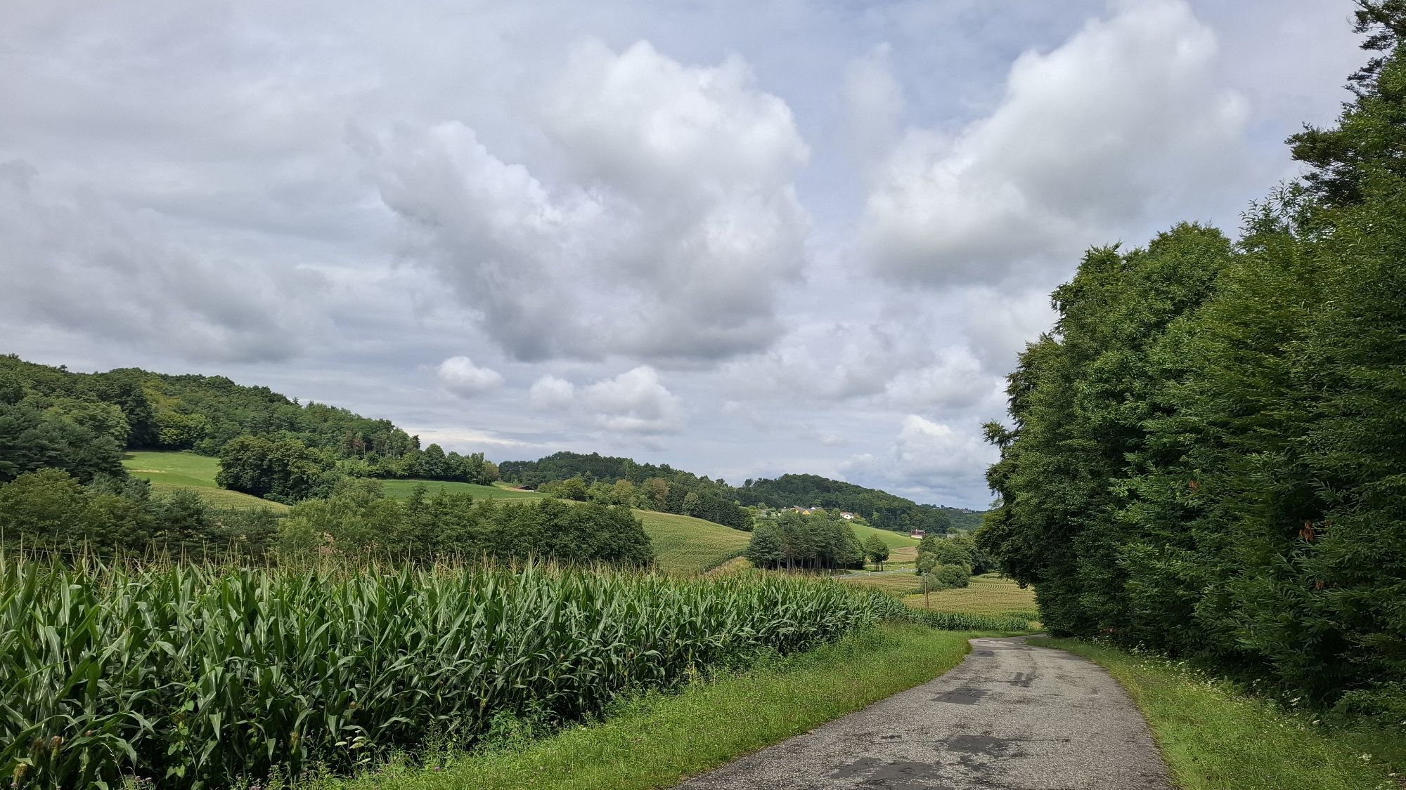

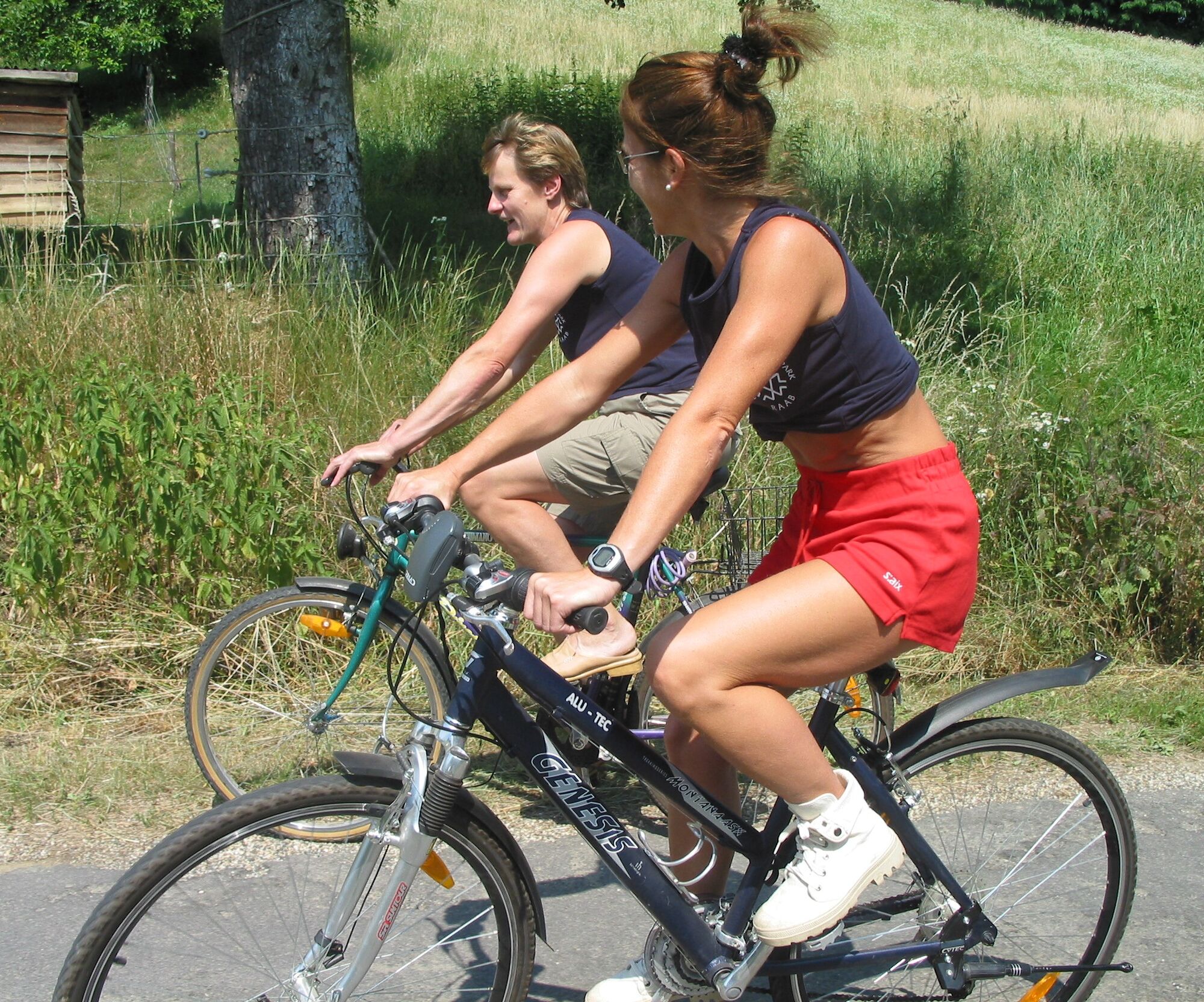
This varied circular tour connects three countries and showcases the scenic diversity of the Raab Nature Park. The starting point is Neumarkt an der Raab in southern Burgenland. The route initially follows...
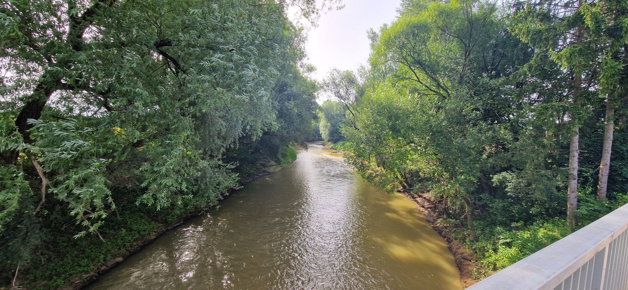
This varied circular tour connects three countries and showcases the scenic diversity of the Raab Nature Park. The starting point is Neumarkt an der Raab in southern Burgenland. The route initially follows the Raab River at a leisurely pace before continuing through small villages and rolling hills into Slovenia. The traditional villages in the border region, the tranquil forest sections, and the panoramic ridges around Grad and Martinje are particularly charming. A cultural highlight of the tour is Grad Castle, the largest castle in Slovenia. After several climbs, the route rewards cyclists with a long descent through Hungary back to Austria. This tour is especially suitable for recreational cyclists who enjoy riding away from busy roads and want to discover the unique features of the border region.


Sturdy footwear, weather-appropriate clothing, helmet, bike with safety equipment according to traffic regulations. Food and drinks! Snacks
Please wear a helmet and make sure your bike meets the requirements of the German Road Traffic Regulations (StVO).
or A2 Oberwart - Güssing - direction border crossing Heiligenkreuz - Mogersdorf - Jennersdorf - turn left at Hofer - after 1 km over the Raab bridge and then right
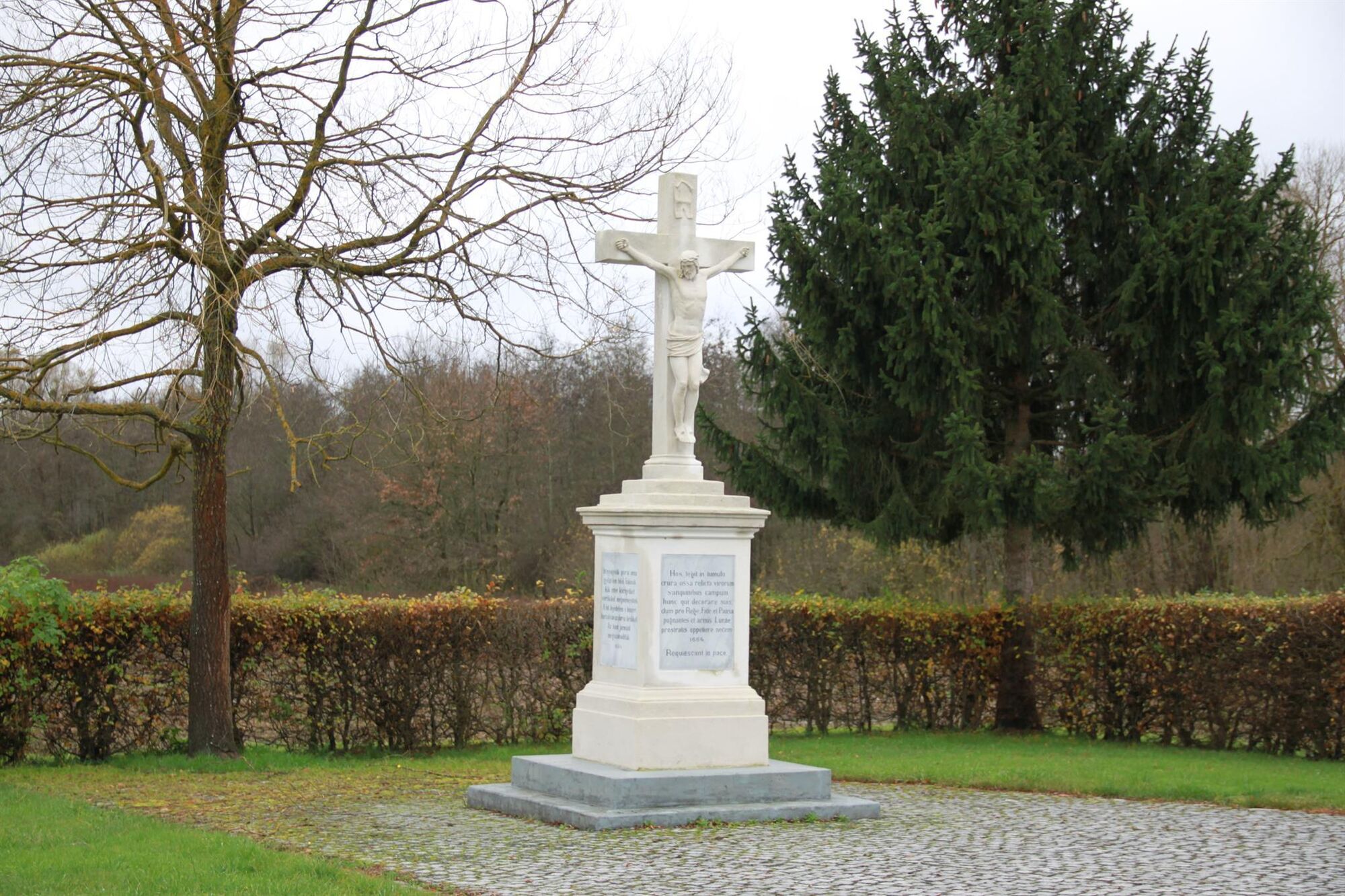
Neumark an der Raab near the weir installation
5
A short detour to Grad Castle in Slovenia is highly recommended – the largest castle in the country, offering impressive views across the border region. Bring plenty of drinks for the tour, as there are only a few places to stop for refreshments along the route. Due to the sometimes steep climbs and descents, a bicycle with good gears is recommended.
Popularne wycieczki w okolicy
- 4,4
Stock & Stein (kurze Variante "Wein-Erlebnis-Weg Bad Loipersdorf")
światłoTrasa tematyczna 10,7 km - 4,4
Erlebensweg der Sinne in Unterlamm
światłoWędrówka 14,2 km - 4,7
Kleiner Höhenrundweg / Weg 5
światłoWędrówka 6,75 km - 4,9
Wein-Erlebnis-Weg Bad Loipersdorf
średniTrasa tematyczna 17,0 km - 5,0
Smuggler's Route
Wędrówka 8,03 km - 4,7
Weintour FB5
średniJazda na rowerze 45,4 km - 3,6
Raabtaltour - FF 17
światłoJazda na rowerze 37,5 km - 4,1
Dreiländereck Österreich-Ungarn-Slowenien - Start Gasthaus Lang, Kölbereck-Oberdrosen
światłoWędrówka 2,25 km - 3,3
Witch's Path Neumarkt - Eisenberg
Wędrówka 10,2 km - 5,0
FF 14 Mühlentour
średniJazda na rowerze 28,6 km
Wędrówki i tropienie


Nie przegap ofert i inspiracji na następne wakacje
Twój adres e-mail została dodana do listy mailingowej.