


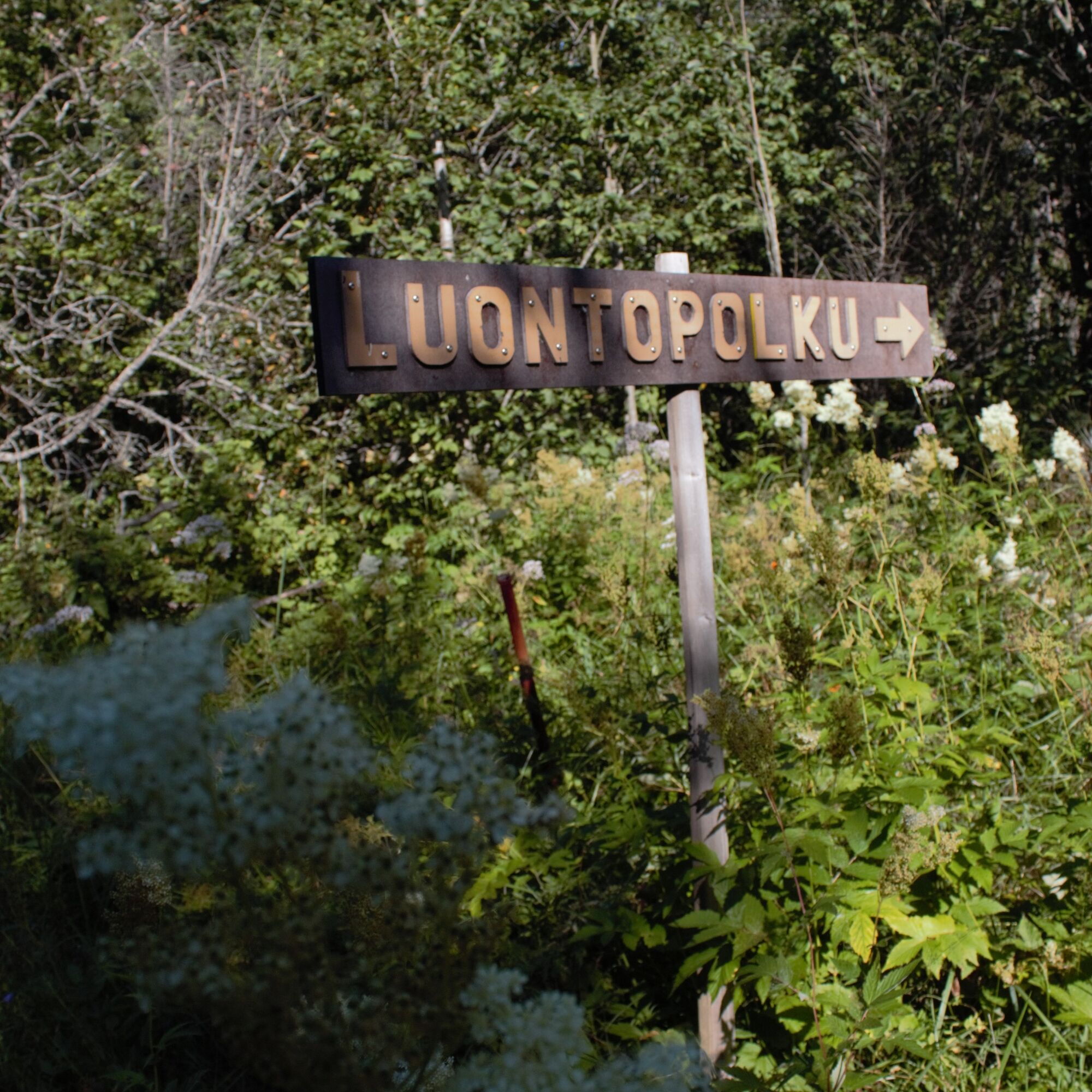
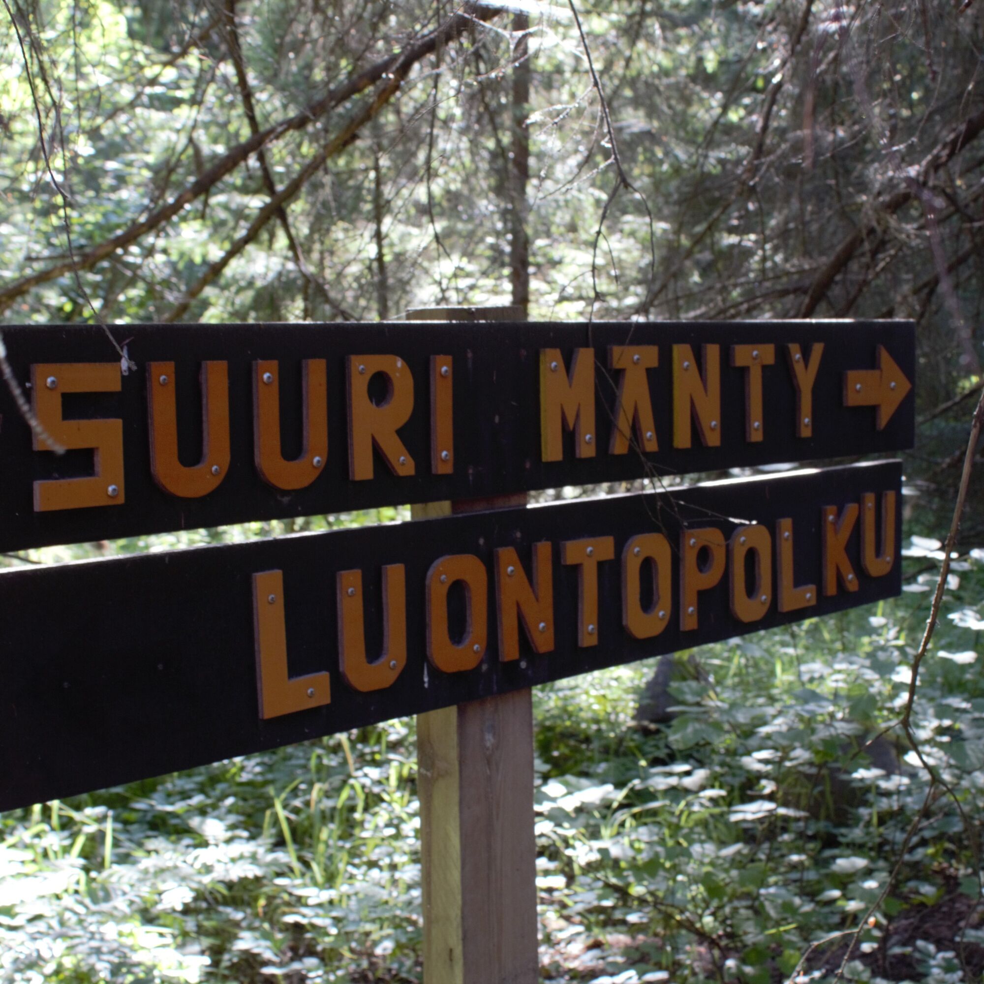
Iso-Kraaseli nature trail
Iso-Kraaseli is also a popular hiking destination in winter.
Iso-Kraaseli is the second largest island in Raahe.
Iso-Kraaseli features representative land uplift coast deciduous, coniferous, and mixed...
Iso-Kraaseli is also a popular hiking destination in winter.
Iso-Kraaseli is the second largest island in Raahe.
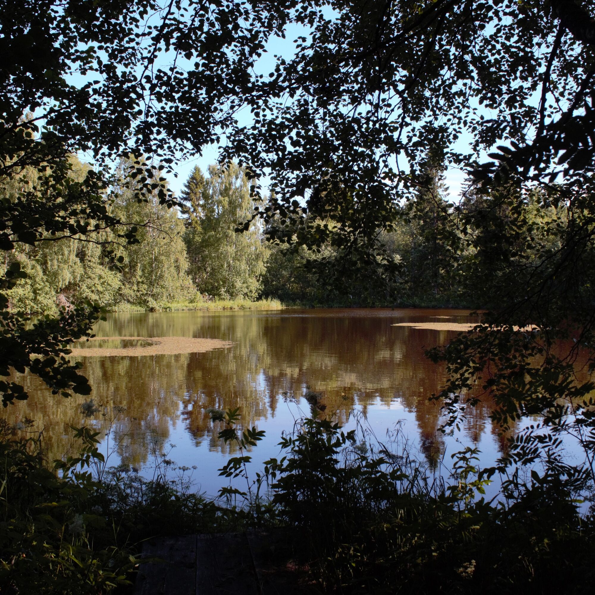
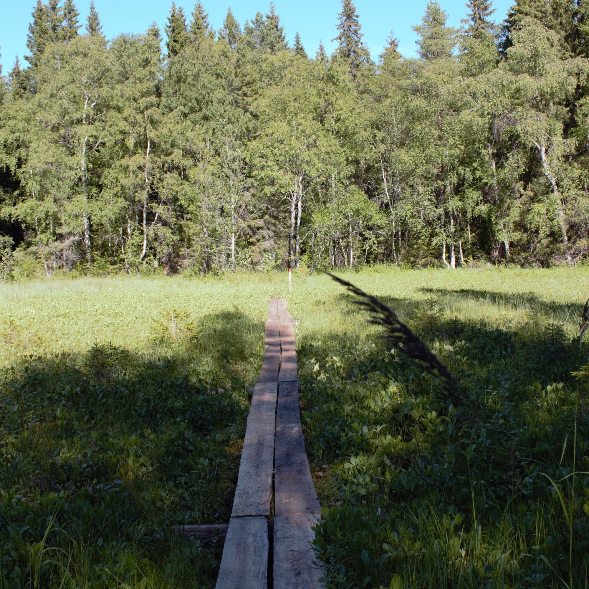
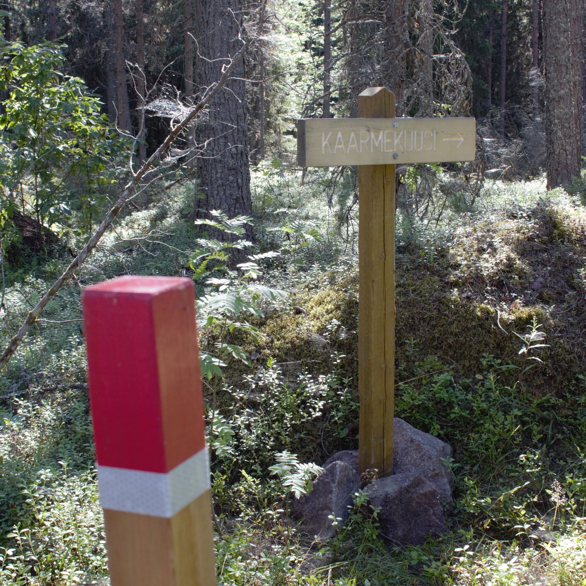
Iso-Kraaseli features representative land uplift coast deciduous, coniferous, and mixed forest shrubs and forests. On the island there are representative seashore meadows, species-rich dry and fresh meadows as well as transition and coastal mires (transition and coastal mires are plant communities forming peat). There is also an excellent representative ria lake. On the nature trail, hikers are greeted by a snake spruce and an old, unusually large pine.
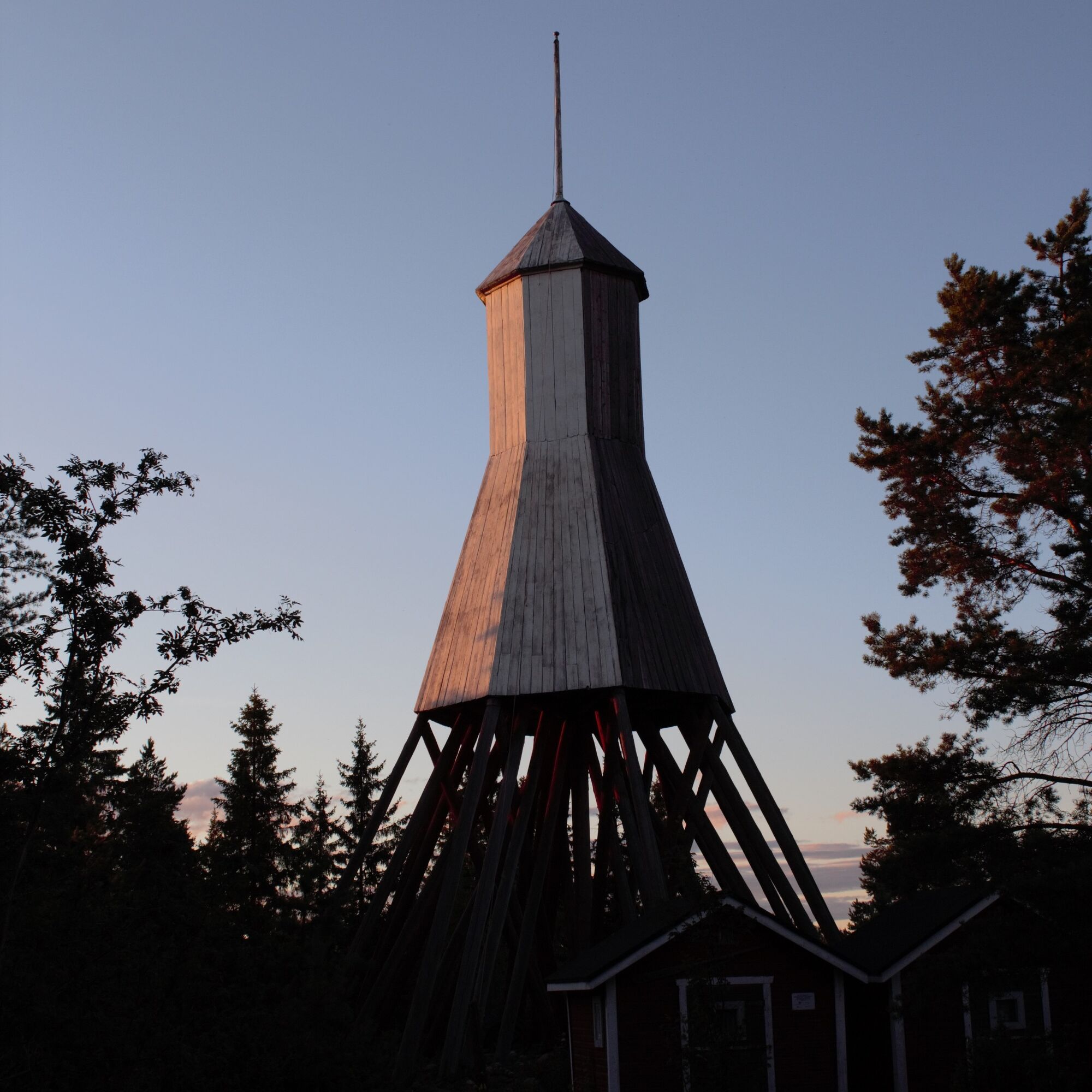
You can also stay on the island in a historic pilot's cottage, which has two double rooms and one six-bed room. There are also two old renovated sail sheds available, each with 2 beds. Accommodation on the island is brokered by MeriRaahe.
Please note during your trip that the pilot's cottage, its terrace, and sauna are reserved for those who have booked accommodation. Buildings available for public use are the summer kitchen and grill shelter on the shore, as well as the dry toilet.
WINTER USE OF THE ROUTE
The nature trail can be explored under human power also in wintertime. The route is not maintained in winter, but the city of Raahe delivers firewood to the cooking shelter near the pier. Please also note that in the Natura area archipelago of Raahe, snowmobiling is not permitted on the islands.

Location 64°40.8', 24°24.4' Marine chart series: G Marine chart: 839 Harbor number: 1864
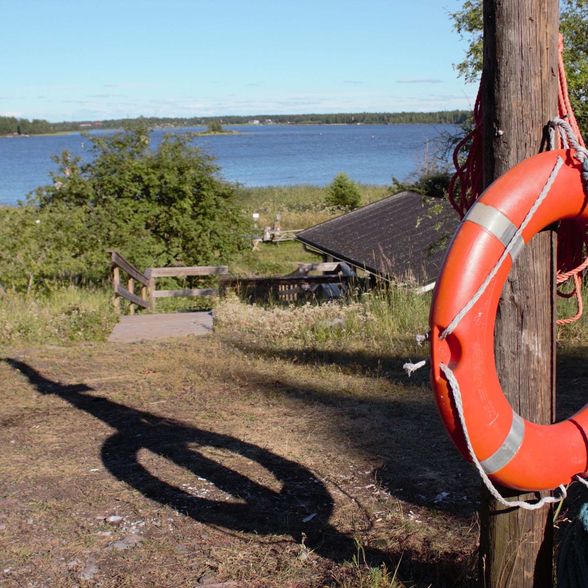
You can land anywhere the boat can get to on the island, but there is also a small boat dock near the pilot's cottage. The distance to the island is about 3.4 km from the Museum shore. The shortest distance to the mainland is just a little over 200 meters from the maritime rescue society's lodge, Lapaluoto.
In the summer, cruises are organized to the archipelago, stopping at Iso-Kraaseli. The coordinates of the island are 64°40'46"N, 24°24'19"E
Iso-Kraaseli services: grill shelter, campfire site and benches, trash bin, toilets, information board, nature trail, summer water pipe, pilot's cottage, beacon
Special feature: The island has a ria lake.
It is possible to listen to the route guidance on Iso-Kraaseli from a mobile device with or without earphones. Download the Glopas app from Google Play store or via the link https://play.google.com/store/apps/details?id=com.glopas.rec
Glopas is an easy-to-use and safe audio guide app for cities, tourist attractions, and nature trails. Download this app if you visit a Glopas-guided destination.
Popularne wycieczki w okolicy
-
Hummastinvaara mountain biking routes 25 km, Raahe
średniMountainbike 20,2 km -
The path of Fantti
światłoWędrówka 0,64 km -
Hummastinvaara mountain biking routes 15 km, Raahe
średniMountainbike 14,3 km -
Ristimaa route, Piehinki
światłoMountainbike 7,94 km -
Tour of Mikonkari
światłoWędrówka 1,75 km -
Raahe city tour
światłoJazda na rowerze 14,3 km -
Varvi nature trail, Raahe
światłoTrasa tematyczna 5,68 km -
Mountain biking trails in Hummastinvaara, Raahe, 5 km
światłoMountainbike 4,92 km -
Rivi's trail, Mikonkari
światłoWędrówka 2,17 km -
Pitkänkari paths, Takaranta and Hakotauri
światłoWędrówka 3,66 km

Wędrówki i tropienie


Nie przegap ofert i inspiracji na następne wakacje
Twój adres e-mail została dodana do listy mailingowej.