


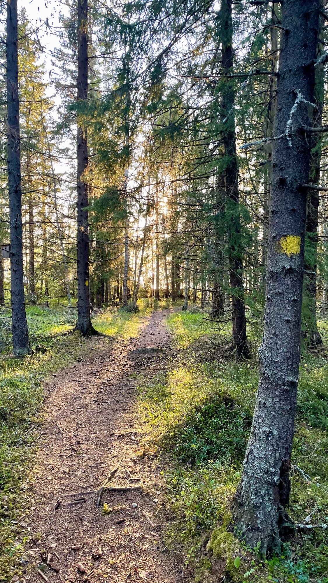
Tour of Mikonkari
Zdjęcia naszych użytkowników
-
 © Angelika GerungUtworzono dnia 04.06.2025
 -
 © Angelika GerungUtworzono dnia 04.06.2025
 -
 © Angelika GerungUtworzono dnia 04.06.2025
 -
 © Angelika GerungUtworzono dnia 04.06.2025
 -
 © Angelika GerungUtworzono dnia 04.06.2025
 -
 © Angelika GerungUtworzono dnia 04.06.2025
 -
 © Angelika GerungUtworzono dnia 04.06.2025


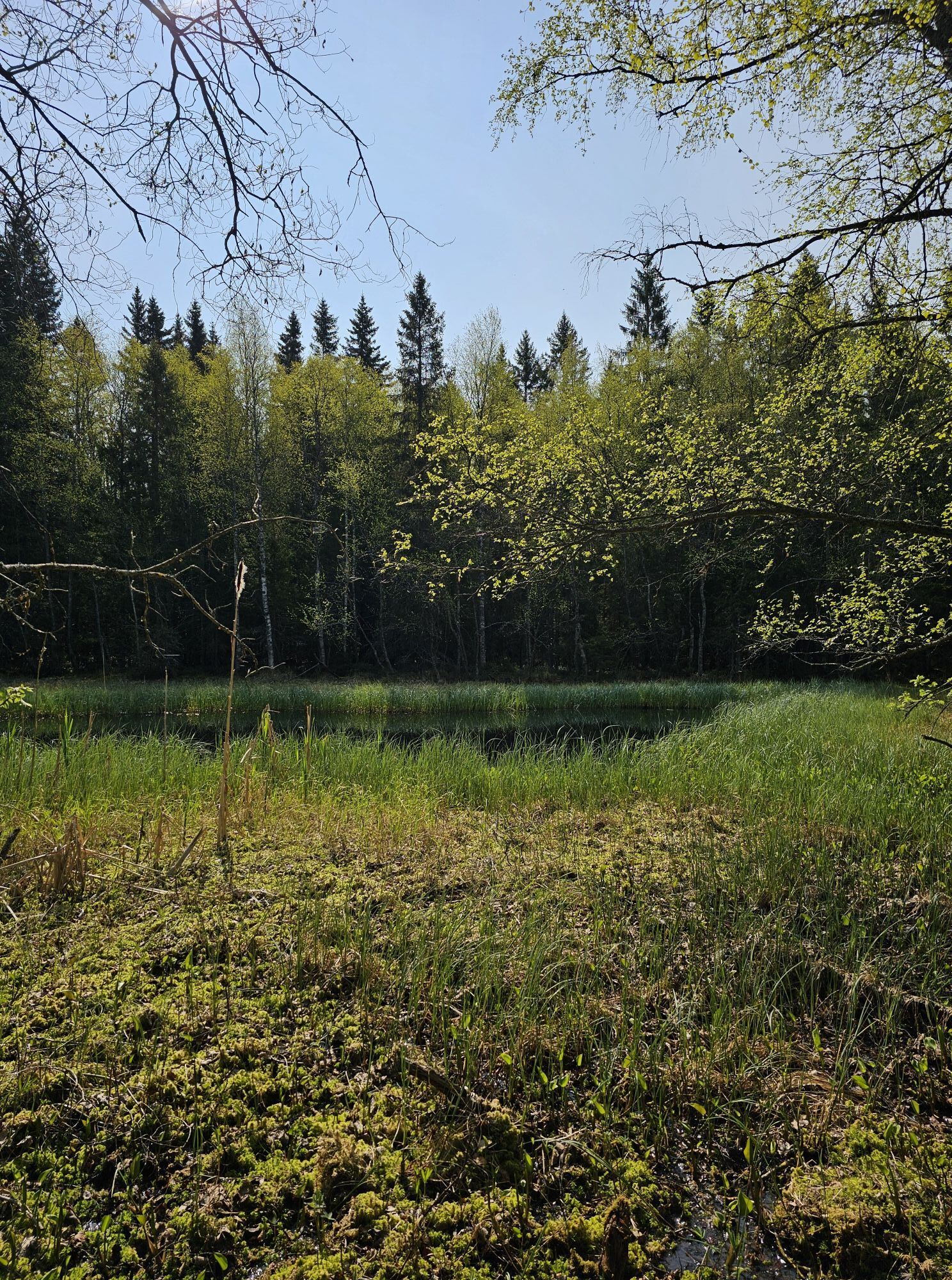

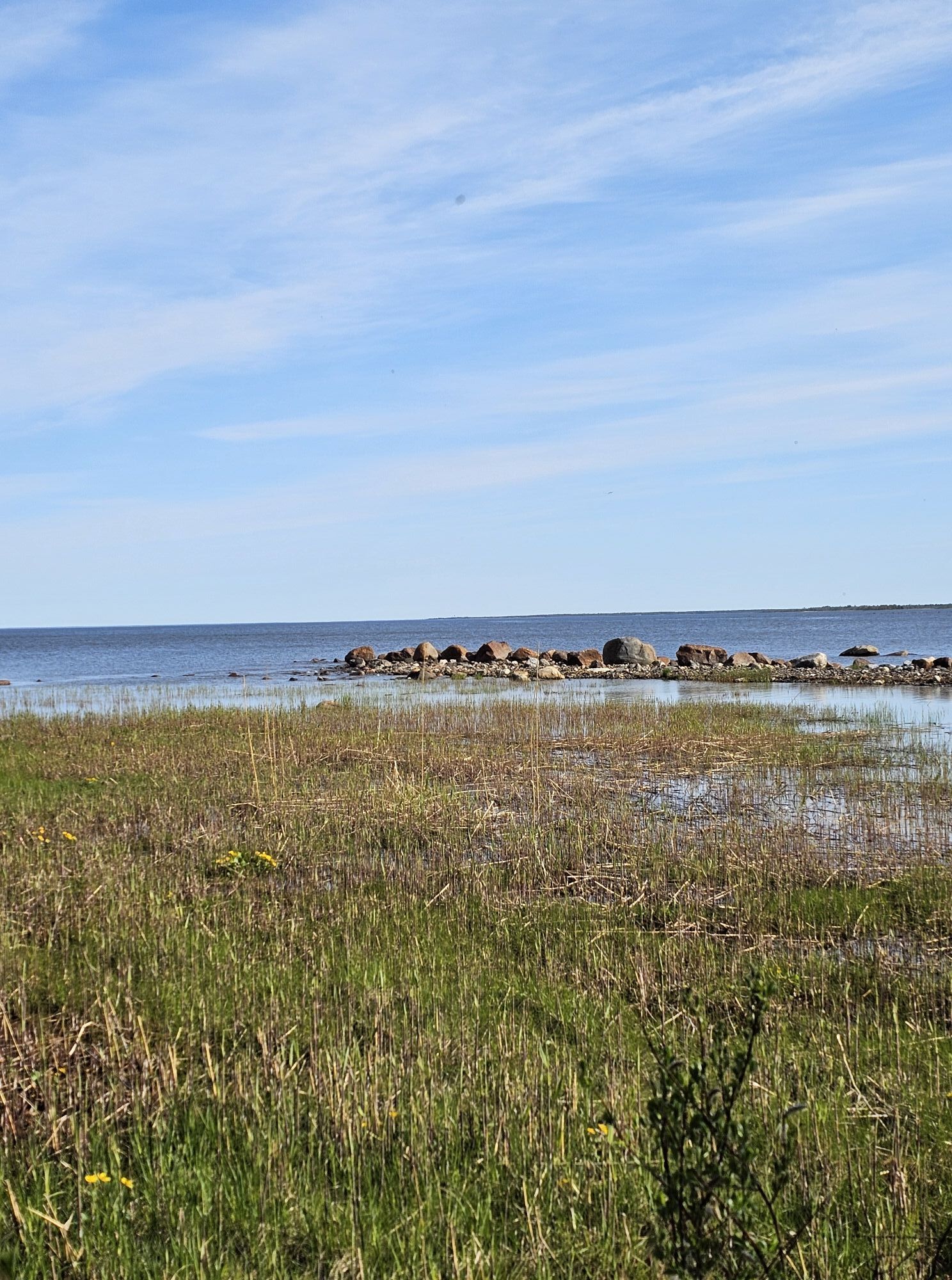
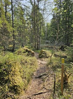
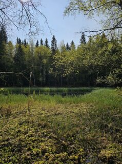
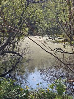
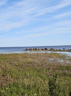
The Mikonkari hiking area is located in the terrain between the southern and northern branches of the Pattijoki river.
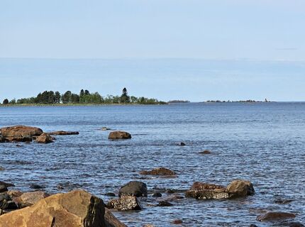
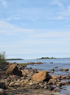
On the opposite shore of the Mikonkari fishing harbour, along the Pattijokisuu, is...
The Mikonkari hiking area is located in the terrain between the southern and northern branches of the Pattijoki river.
On the opposite shore of the Mikonkari fishing harbour, along the Pattijokisuu, is the Mikonkarinlahti seaside meadow nature reserve, which is protected because of its special habitat type.

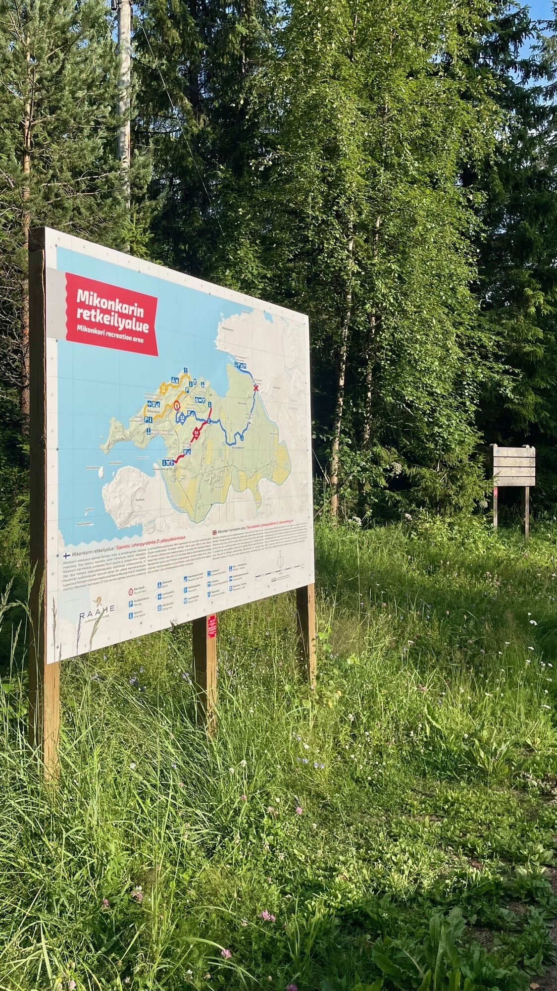
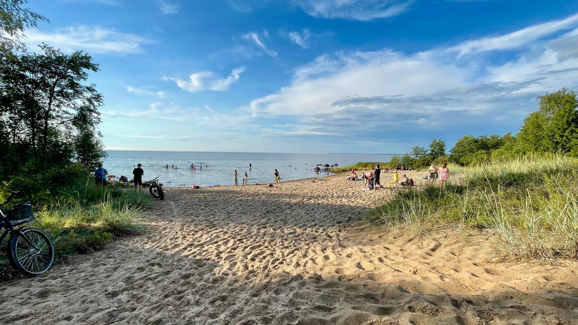
Parking is available along the Lohenpyrstön road by the beach, and just down the road from the main Lohenpyrstön building and caravan park.
Popularne wycieczki w okolicy
-
Hummastinvaara mountain biking routes 25 km, Raahe
średniMountainbike 20,2 km -
The path of Fantti
światłoWędrówka 0,64 km -
Hummastinvaara mountain biking routes 15 km, Raahe
średniMountainbike 14,3 km -
Iso-Kraaseli nature trail
światłoWędrówka 1,95 km -
Raahe city tour
światłoJazda na rowerze 14,3 km -
Varvi nature trail, Raahe
światłoTrasa tematyczna 5,68 km -
Mountain biking trails in Hummastinvaara, Raahe, 5 km
światłoMountainbike 4,92 km -
Rivi's trail, Mikonkari
światłoWędrówka 2,17 km -
Pitkänkari paths, Takaranta and Hakotauri
światłoWędrówka 3,66 km -
Path of Parr, Mikonkari
światłoWędrówka 0,81 km

Wędrówki i tropienie


Nie przegap ofert i inspiracji na następne wakacje
Twój adres e-mail została dodana do listy mailingowej.