







USSEGLIO Turlo ponds loop from Malciaussia

Hike starting from the scenic lake of Malciaussia with the picturesque village of Pietramorta. As you go up, the panorama opens more and more, first over Lake Malciaussia and then Lake Nero, with Monte...
Hike starting from the scenic lake of Malciaussia with the picturesque village of Pietramorta. As you go up, the panorama opens more and more, first over Lake Malciaussia and then Lake Nero, with Monte Lera always clearly visible on the other side of the valley.
The Turlo ponds (2370 m) are small basins of icy water filling hollows surrounded by scree; the path that reaches them has been restored in recent years and is quite wild.
Continuing uphill you reach Colle di Costa Fenera, on the watershed with the Susa valley: the panorama therefore enriches with a different view of the valley floor and the Valsusine peaks. You return to the Viù valley from Colle delle Coupe to reach the shores of Lake Nero (2020 m)

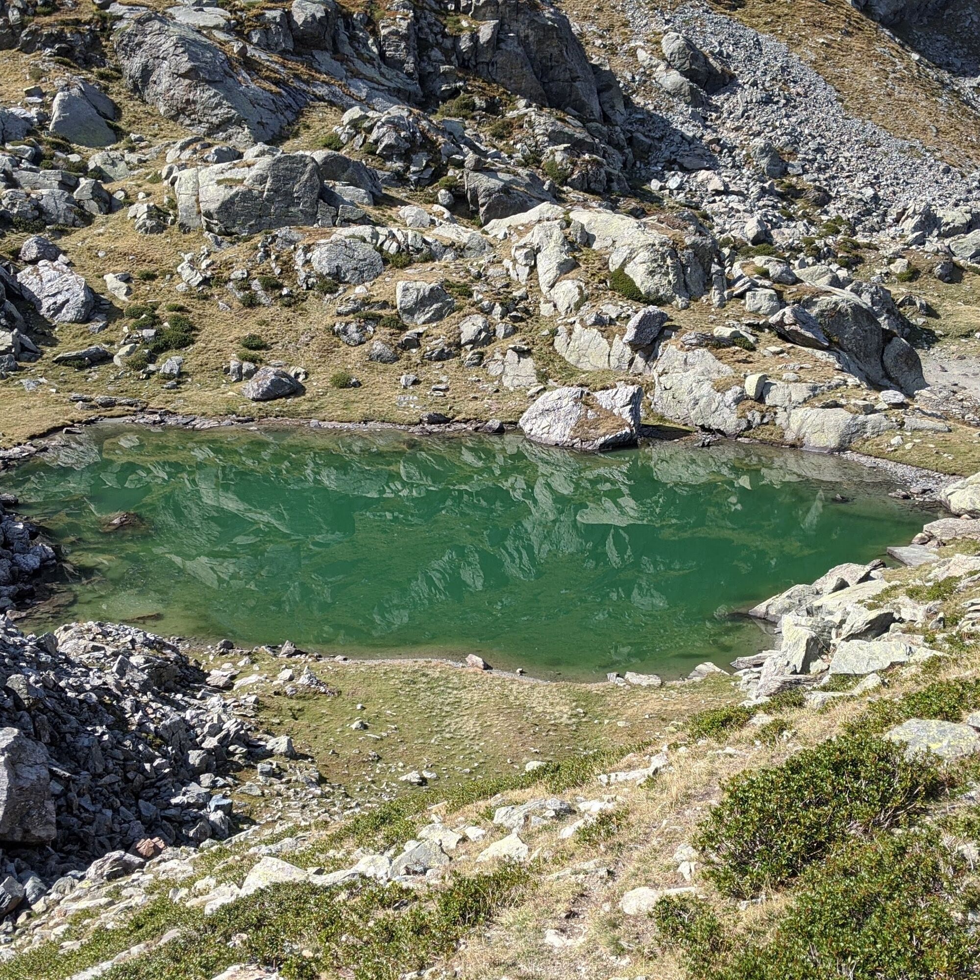
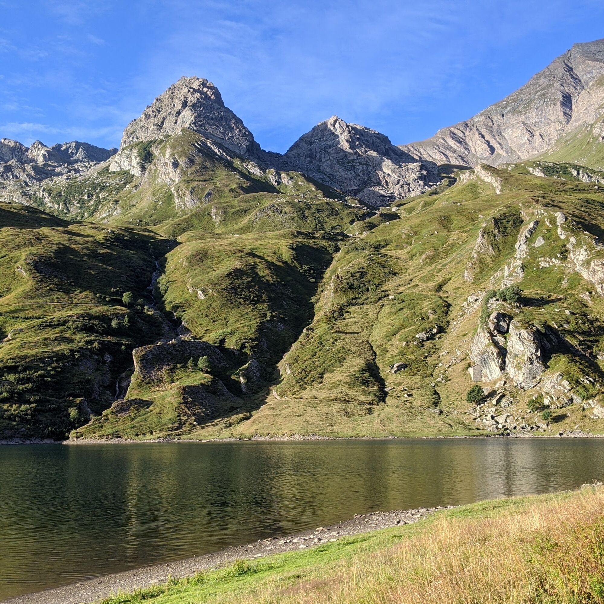


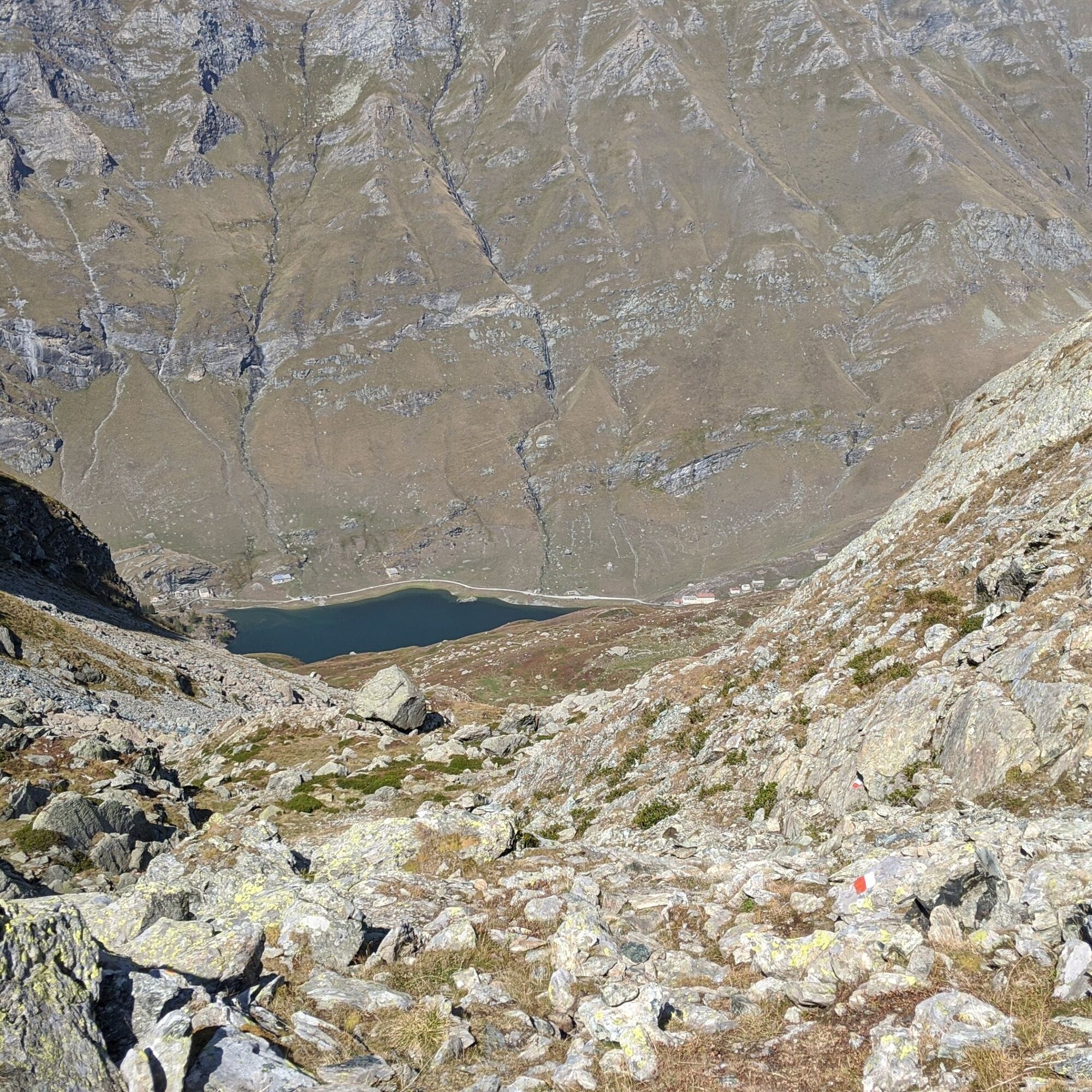
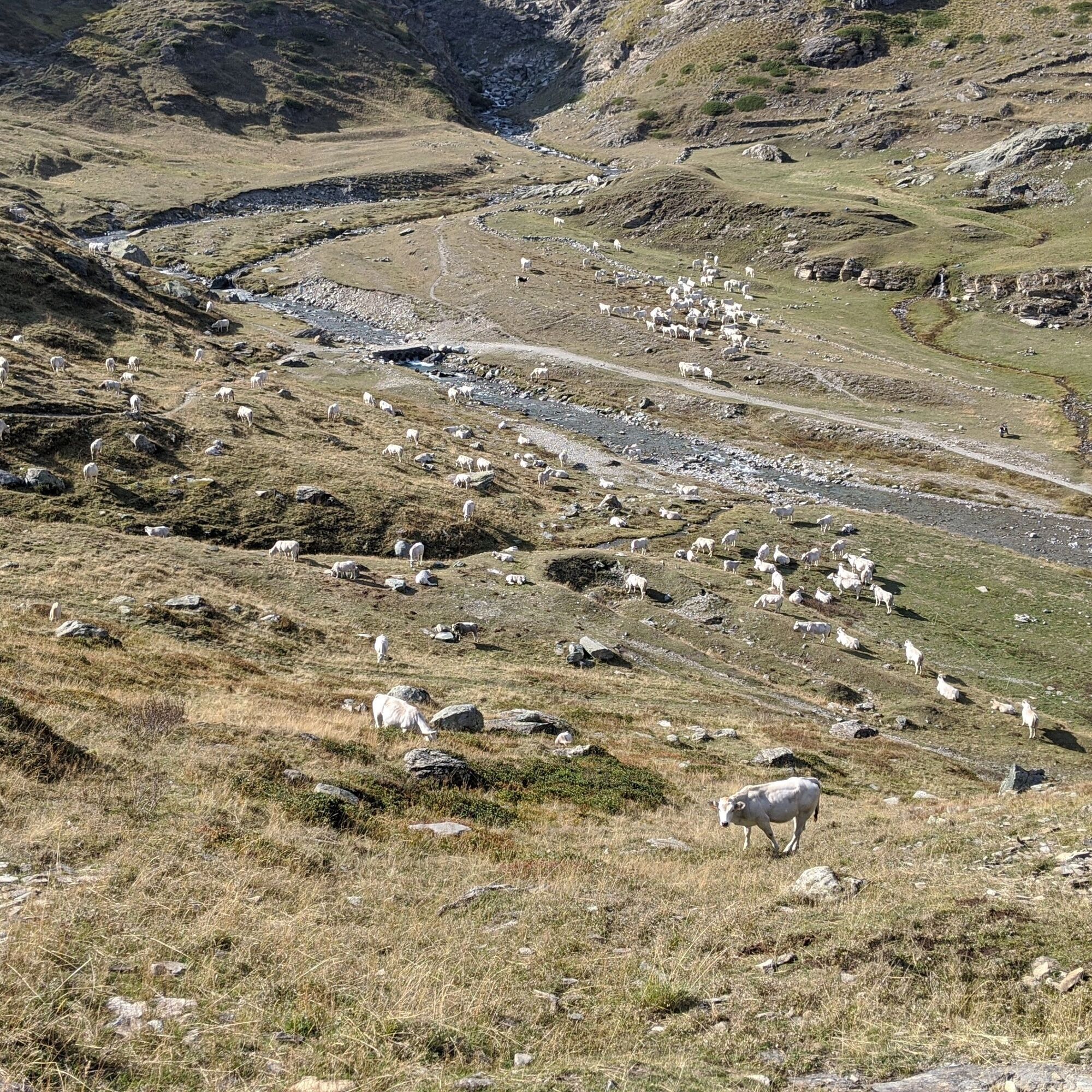
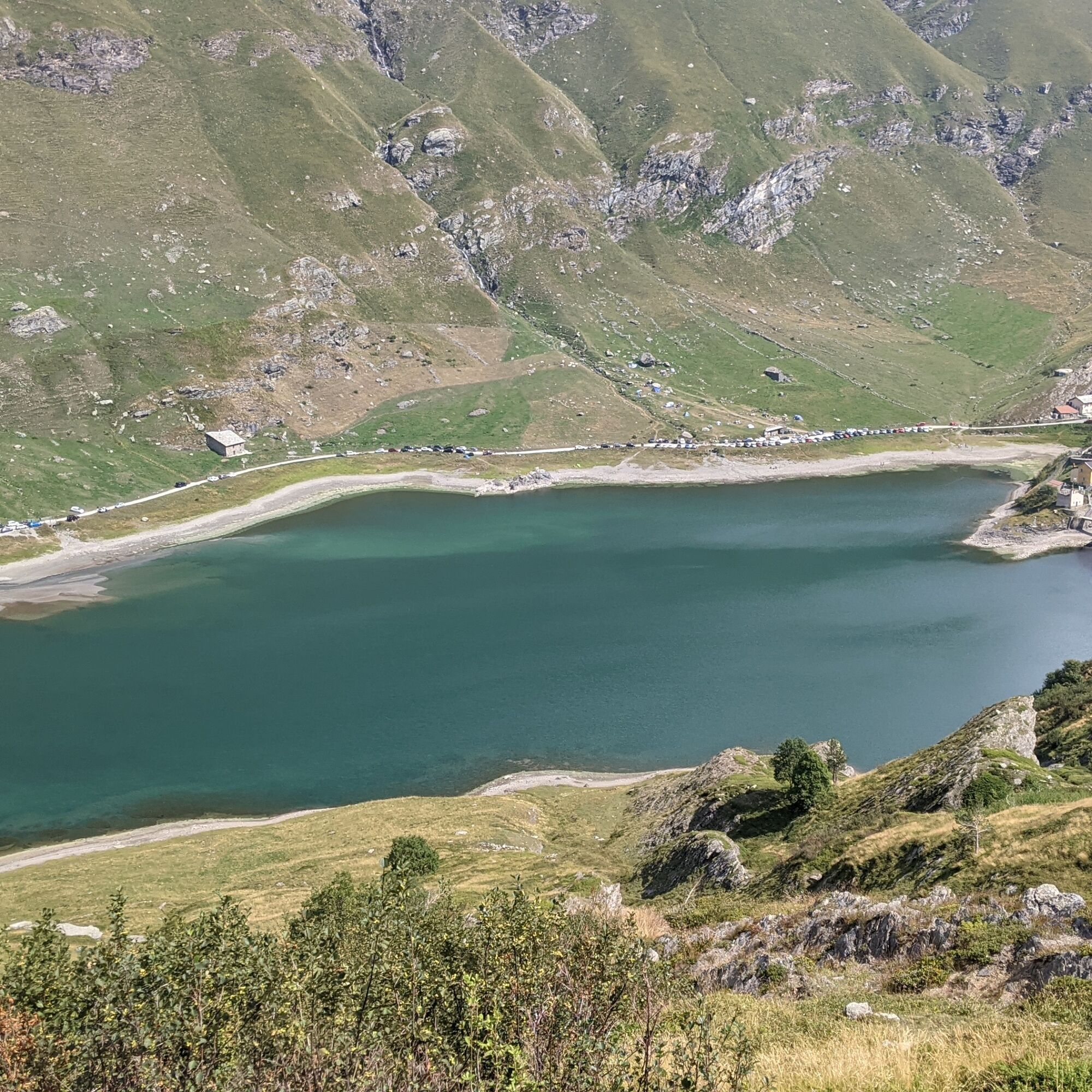
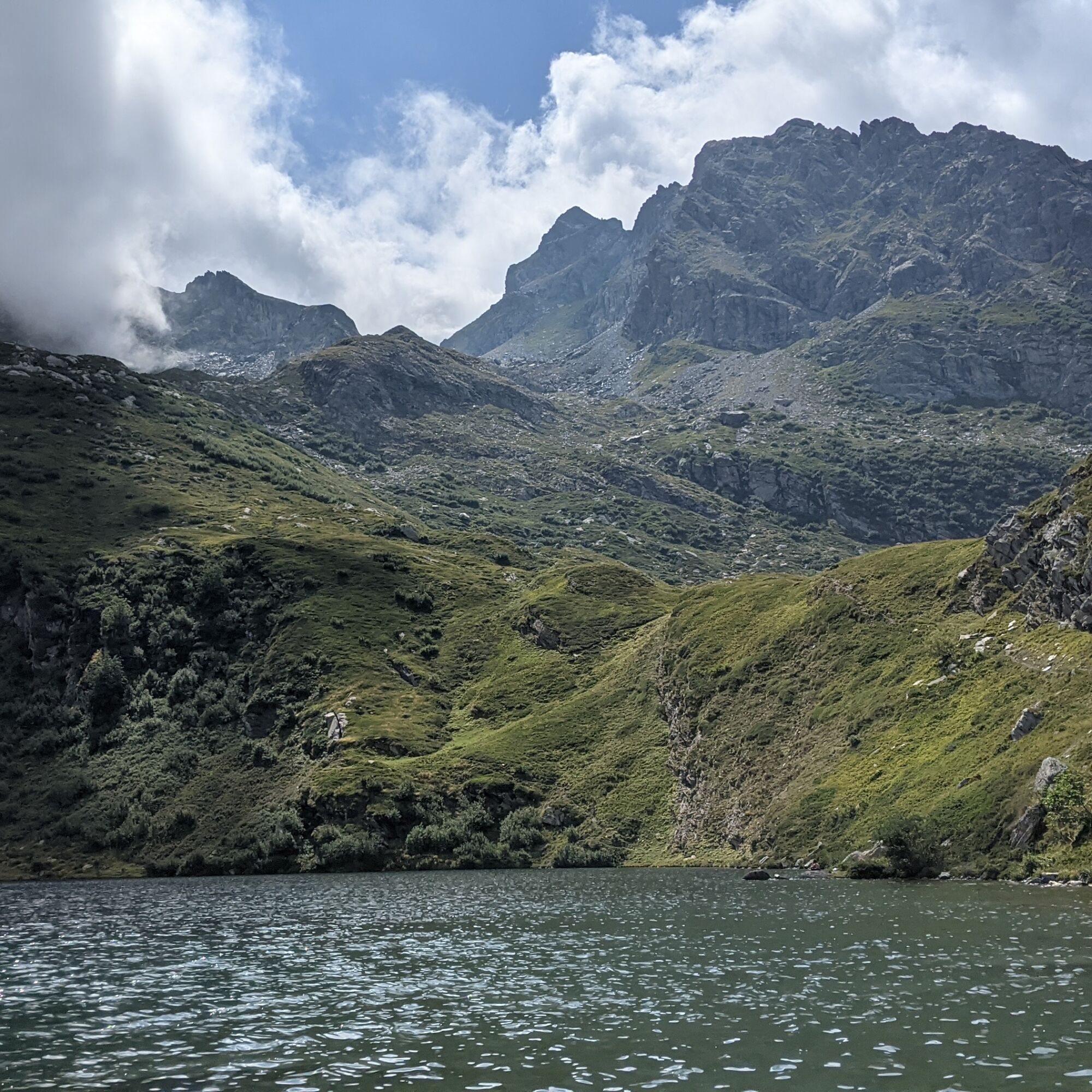

From the lake of Malciaussia, passing through the village of Pietramorta, walk along the path beside the stream and then cross it a little further on. Then take path 114/GTA/SI. After about half an hour of walking, turn left following the signs for Lake Nero and Colle delle Coupe (path 113). Shortly after, on an almost flat stretch, the path (113A) to the Turlo ponds begins on the right.
The path climbs through rhododendrons, passes a nice panoramic viewpoint on Lake Nero, and continues to ascend, overcoming small scree areas until the Turlo ponds (2370 m). With about another 20 minutes of walking you reach Colle di Costa Fenera.
Then turn left, staying on the Valsusine side until Colle delle Coupe (2341 m): turn left to return to the Viù valley side and descend to Lake Nero. Continuing down you reach the junction crossed on the way up: retrace the rest of the path back to Malciaussia.
Non-slip sole footwear, wind/rain protection, a warm layer, water and food supply, first aid kit, hat, and sunglasses are recommended.
There are no refreshment or water points along the route.
From the plain, reach Germagnano, exiting the village turn left towards Viù / Usseglio. Upon reaching Usseglio continue on the provincial road until Lake Malciaussia
There are parking spaces near the lake (paid in summer)
For tourist information on the valleys: Valli di Lanzo Tourist Operators Consortium - www.turismovallidilanzo.it
Access to Lake Malciaussia from Margone is regulated with limitation (ordinance of the Metropolitan City of Turin) to 130 vehicles and paid parking: it is recommended to check the regulations on the website of the municipality of Usseglio to know the days involved and to arrive early in the morning.
On the return, enjoy a good meal at the Vulpot refuge

Popularne wycieczki w okolicy
-
4,5
Rocciamelone partedjo dalla Riposa. Mompantero, Piemont/Italien
średniWędrówka 10,6 km -
5,0
BALME Green Lakes and Lago Paschiet
średniWędrówka 7,51 km -
4,5
Hiking at Lake Clair
ciężkiWędrówka 6,99 km -
5,0
BALME Arnas Ring - Pian della Mussa
ciężkiWędrówka 13,6 km -
USSEGLIO Lake Nero from Lake Malciaussia
światłoWędrówka 4,79 km -
5,0
LEMIE Ovarda Lakes loop
ciężkiWędrówka 15,9 km -
5,0
Alta Via delle Valli di Lanzo | Stage 4 Rifugio Citt di Ciri - Rifugio Cibrario
ciężkiWędrówka 12,0 km -
4,7
High Way of the Lanzo Valleys | Stage 6 Tazzetti Refuge - Lake of Malciaussia
średniWędrówka 5,49 km -
SUSA From Susa to Rocciamelone
ciężkiWędrówka 13,7 km -
USSEGLIO Lake behind the Tower and of the Rossa
ciężkiWędrówka 17,1 km
Wędrówki i tropienie


Nie przegap ofert i inspiracji na następne wakacje
Twój adres e-mail została dodana do listy mailingowej.





