


USSEGLIO Lake behind the Tower and of the Rossa
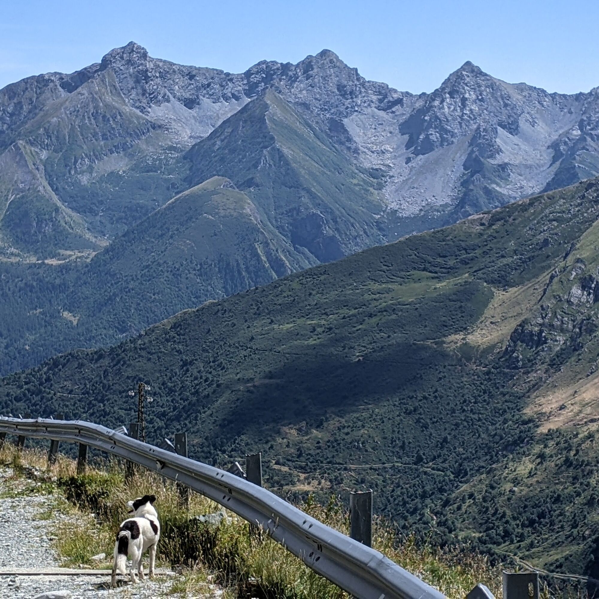
Long route always very panoramic that touches two artificial basins built in the early 1900s for electricity production. Given the convenience of the road, the area is used by shepherds to graze cows and...
Long route always very panoramic that touches two artificial basins built in the early 1900s for electricity production. Given the convenience of the road, the area is used by shepherds to graze cows and sheep.
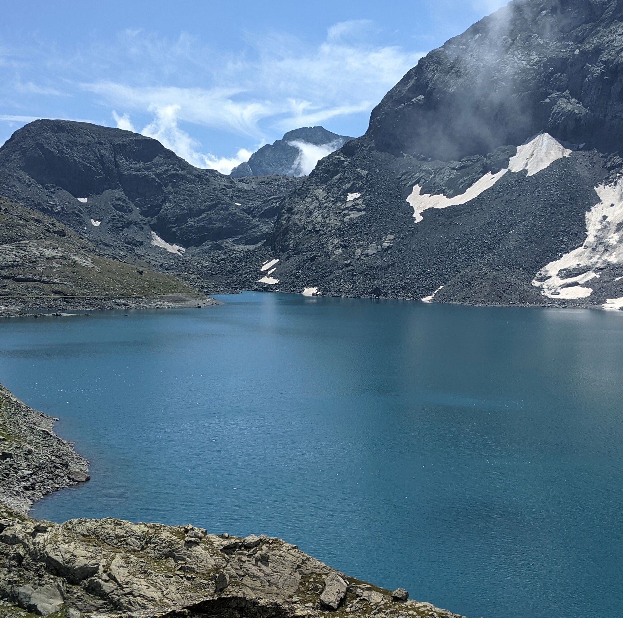
The Lago della Rossa (2701 m) is located at the base of the imposing mountain whose name was dedicated to the Red Cross organization, from which the lake also takes its name. Given the altitude, it is not uncommon in June and early July to find floating icy snowfields on its surface.
Near the lake is the San Camillo bivouac, equipped with 16 beds with light, which can be a useful support point in case of adverse weather conditions or to extend the excursion to the next day. There is also a chapel open on one side where each year, at the beginning of August, a well-attended mass is celebrated. At the base of the dam, ibexes can frequently be observed licking the concrete.

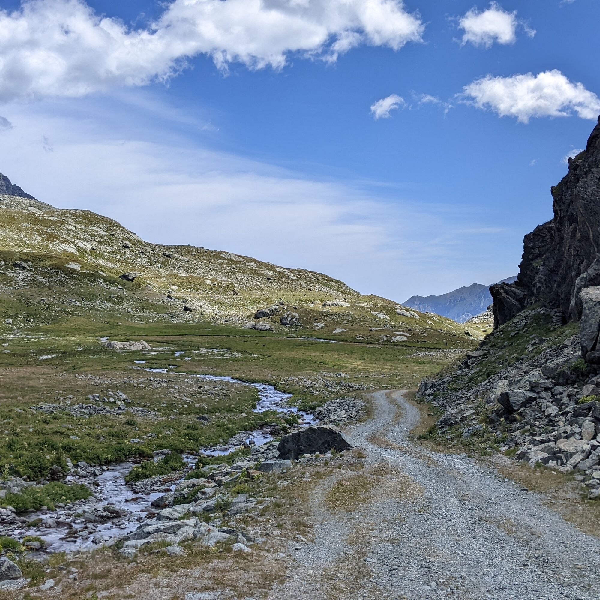
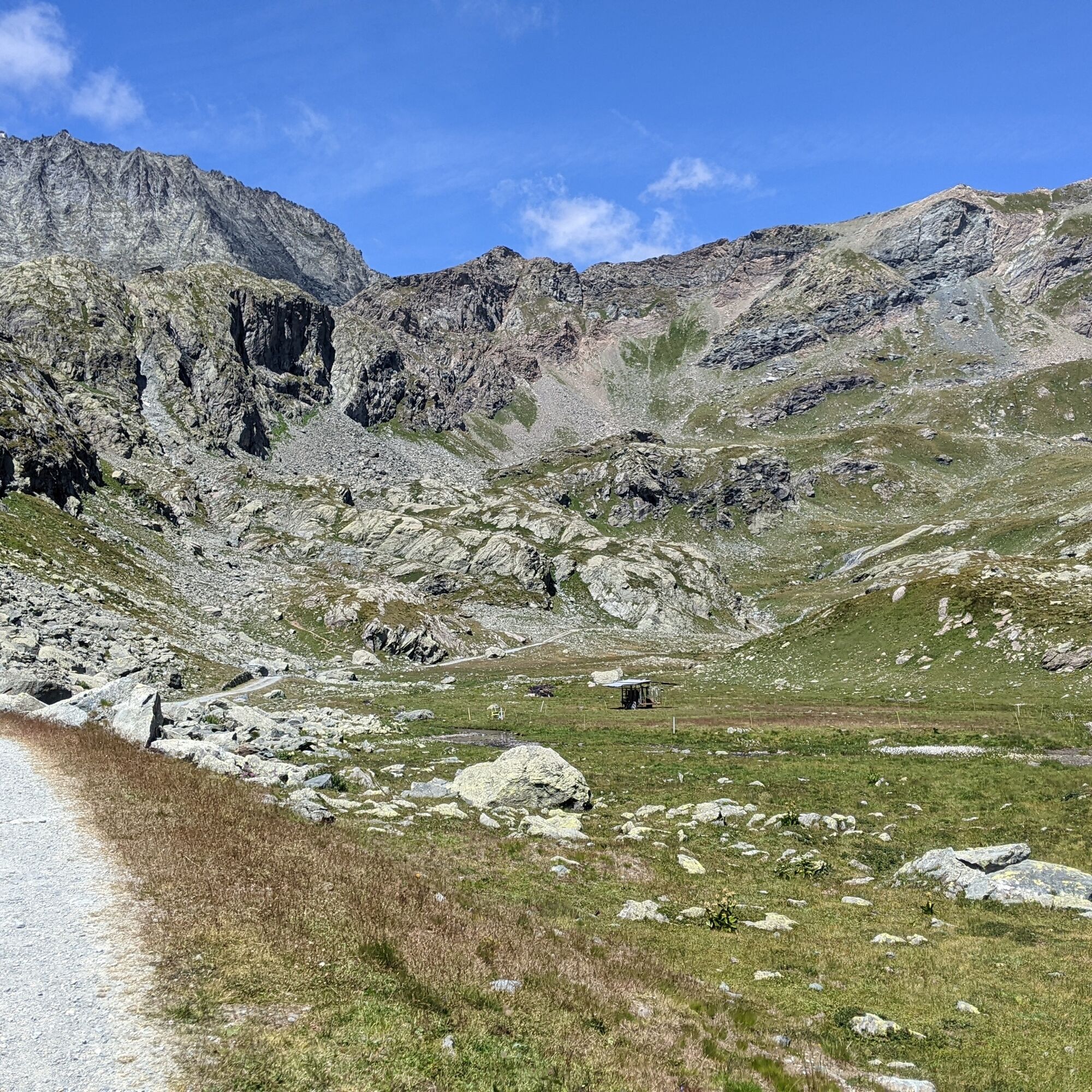
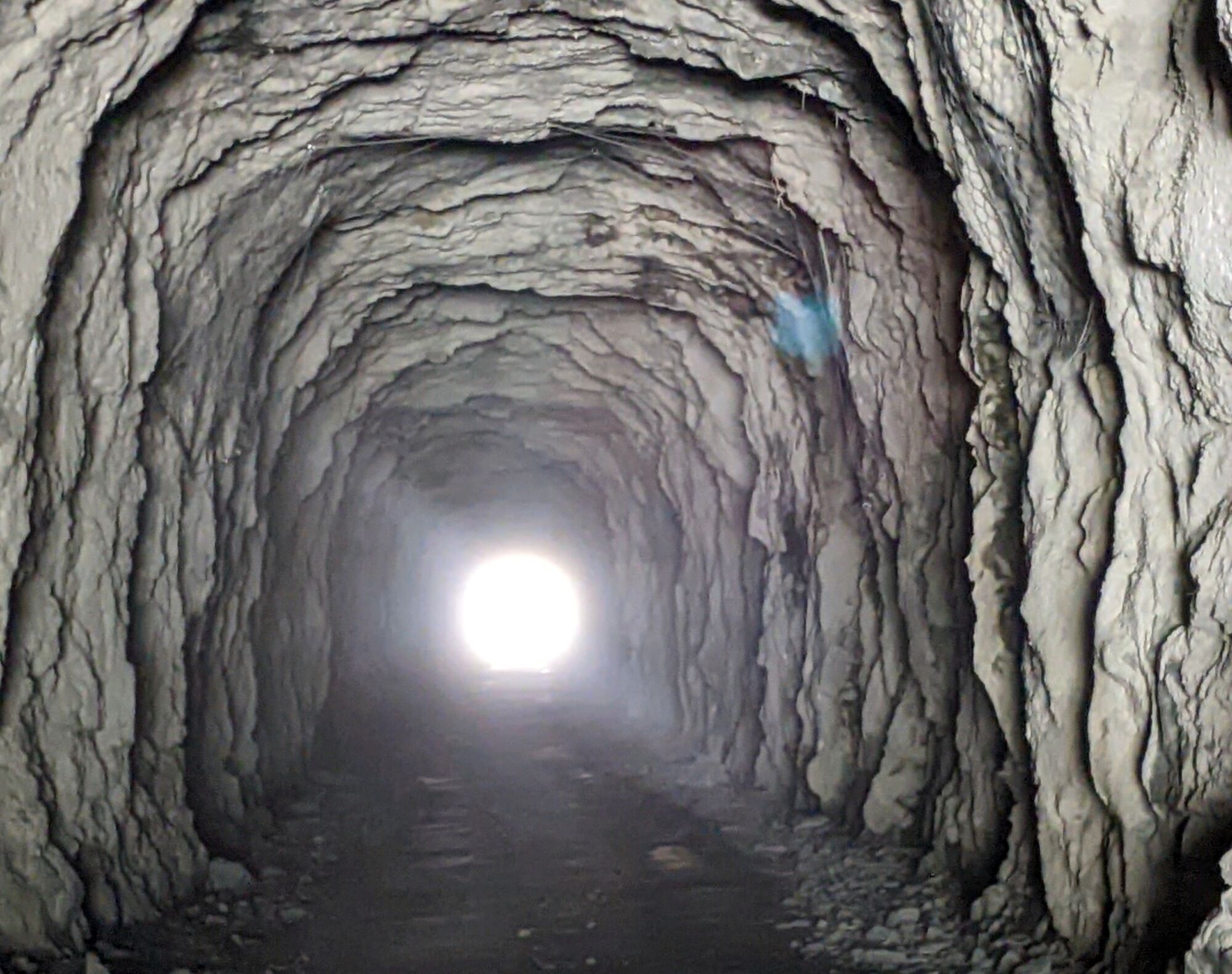
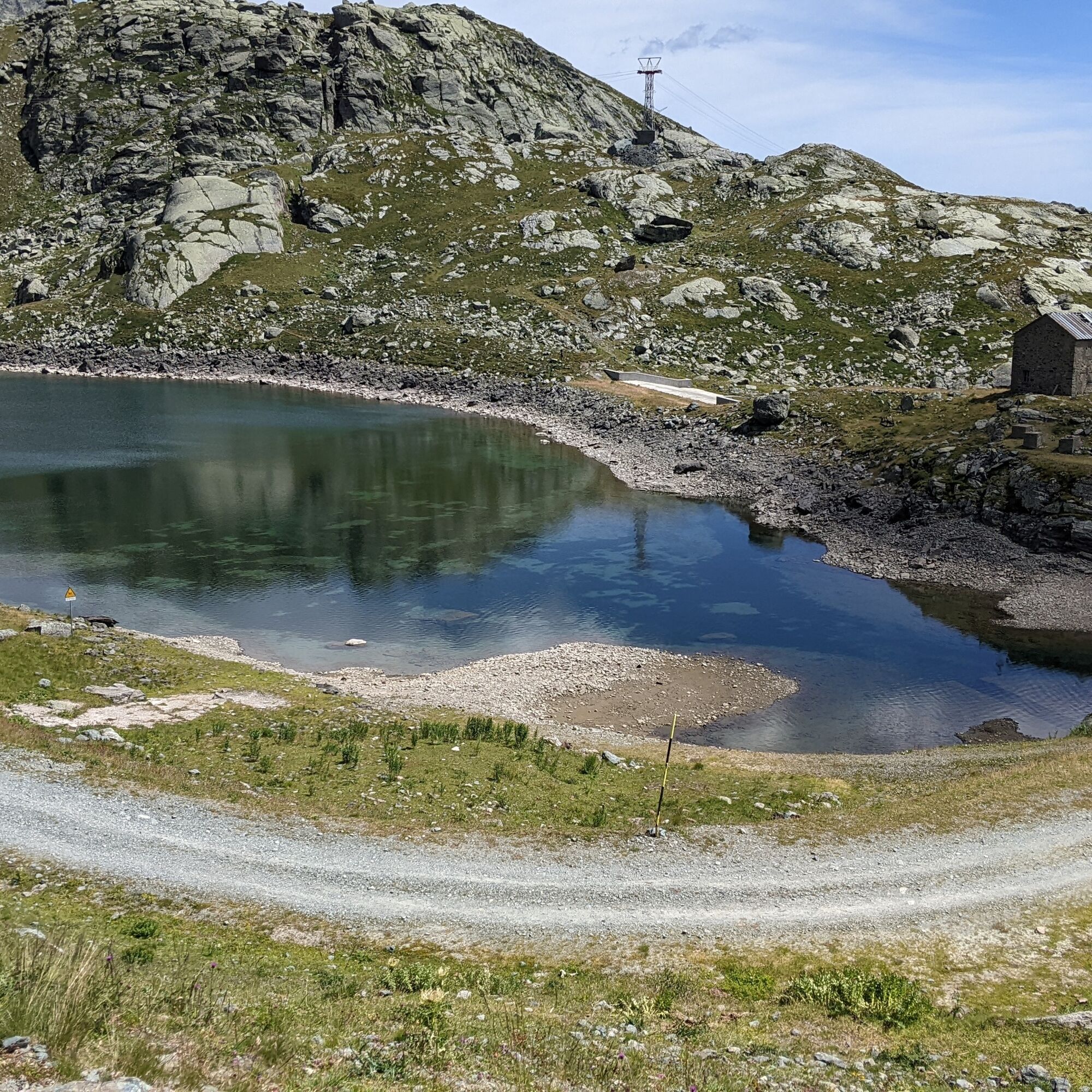
From the barrier, go up the paved road (only one cut expected) also passing through a tunnel until you reach near the hydroelectric plant of the lake behind the tower. To see the lake, you must climb the small road to the right of the plant and then continue to the left; otherwise, continue passing the structure on the left and take the uphill path. In any case, you will take a dirt road that crosses a long plateau.
At a fork with signs, turn left uphill onto the path leading to the dam. To reach the pylon and the San Camillo bivouac, you must cross the dam.
The return is along the same route as the ascent.
Tak
Non-slip sole footwear, wind/rain protection, one or more warm layers, hat and sunglasses, gloves, food supplies are recommended.
The route reaches a high altitude: remember that the weather can change quickly and temperatures can drop; the sun's ultraviolet rays are less filtered.
In many points, there is no mobile network coverage.
There are no refreshment points along the route, while at the dam of the Lago della Rossa there is a fountain.
Coming from the plain, after passing the town of Germagnano, turn left following the signs for Usseglio. Then travel through the entire Val di Viù to Usseglio. In Usseglio, just before the Furnasa restaurant, turn right and climb the road for a few kilometers until a widening before the fork for the excursion start road.
There is a parking lot near the fork
For more information about the area, visit the Tourism in the Lanzo Valleys portal

Popularne wycieczki w okolicy
- 4,7
Rocciamelone partedjo dalla Riposa. Mompantero, Piemont/Italien
średniWędrówka 10,6 km - 5,0
The Grand Méan lake via the Evettes circus
ciężkiWędrówka 13,6 km - 5,0
BALME Green Lakes and Lago Paschiet
średniWędrówka 7,51 km - 5,0
BALME Arnas Ring - Pian della Mussa
ciężkiWędrówka 13,6 km - 5,0
LEMIE Ovarda Lakes loop
ciężkiWędrówka 15,9 km - 4,7
High Way of the Lanzo Valleys | Stage 6 Tazzetti Refuge - Lake of Malciaussia
średniWędrówka 5,49 km - 5,0
Alta Via delle Valli di Lanzo | Stage 4 Rifugio Citt di Ciri - Rifugio Cibrario
ciężkiWędrówka 12,0 km USSEGLIO Lake Nero from Lake Malciaussia
światłoWędrówka 4,79 kmVIU' Lake Viana from Alpe Bianca
średniWędrówka 5,56 kmHike from the Avérole refuge through the hamlet
średniWędrówka 9,36 km

Wędrówki i tropienie


Nie przegap ofert i inspiracji na następne wakacje
Twój adres e-mail została dodana do listy mailingowej.