







USSEGLIO Lake Nero from Lake Malciaussia

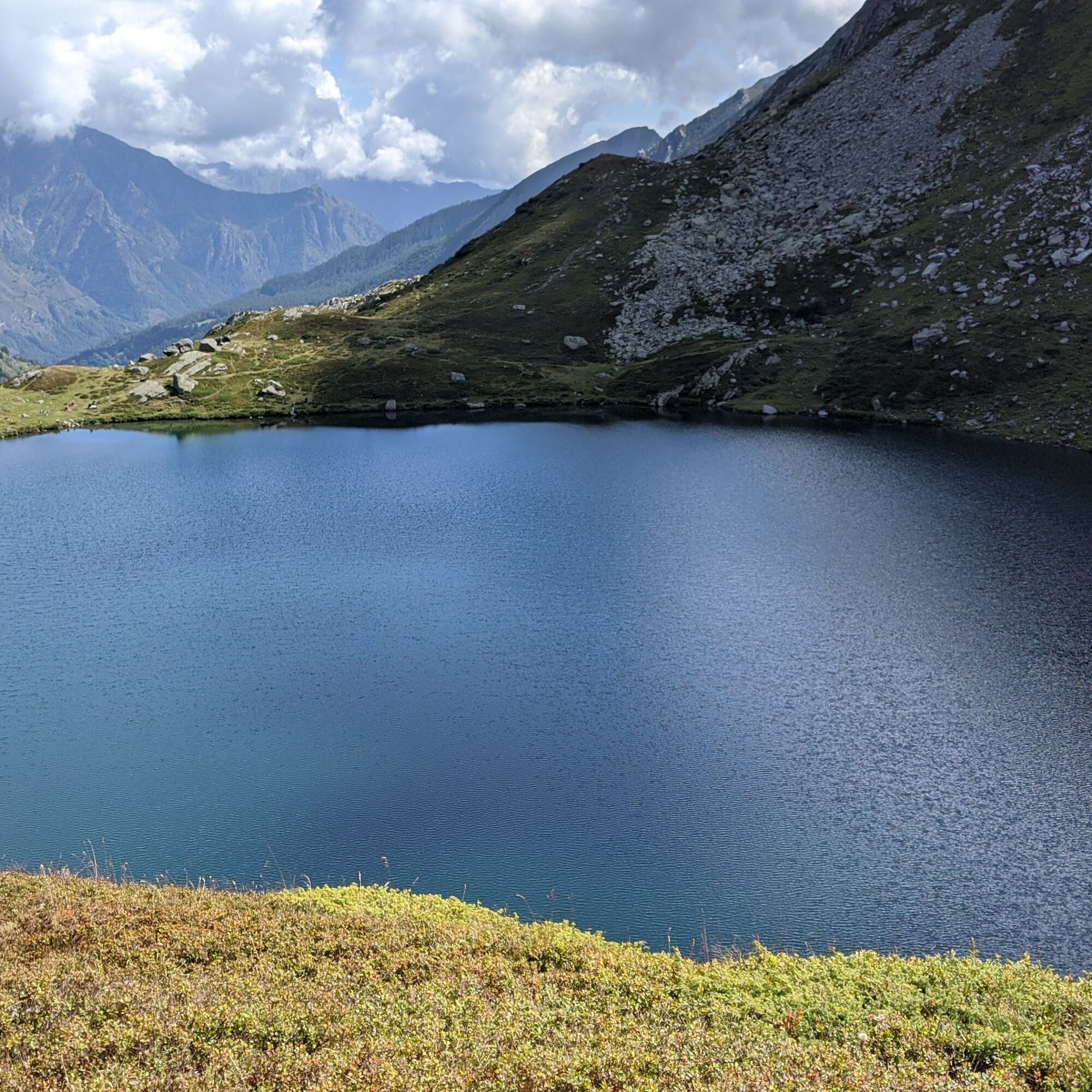
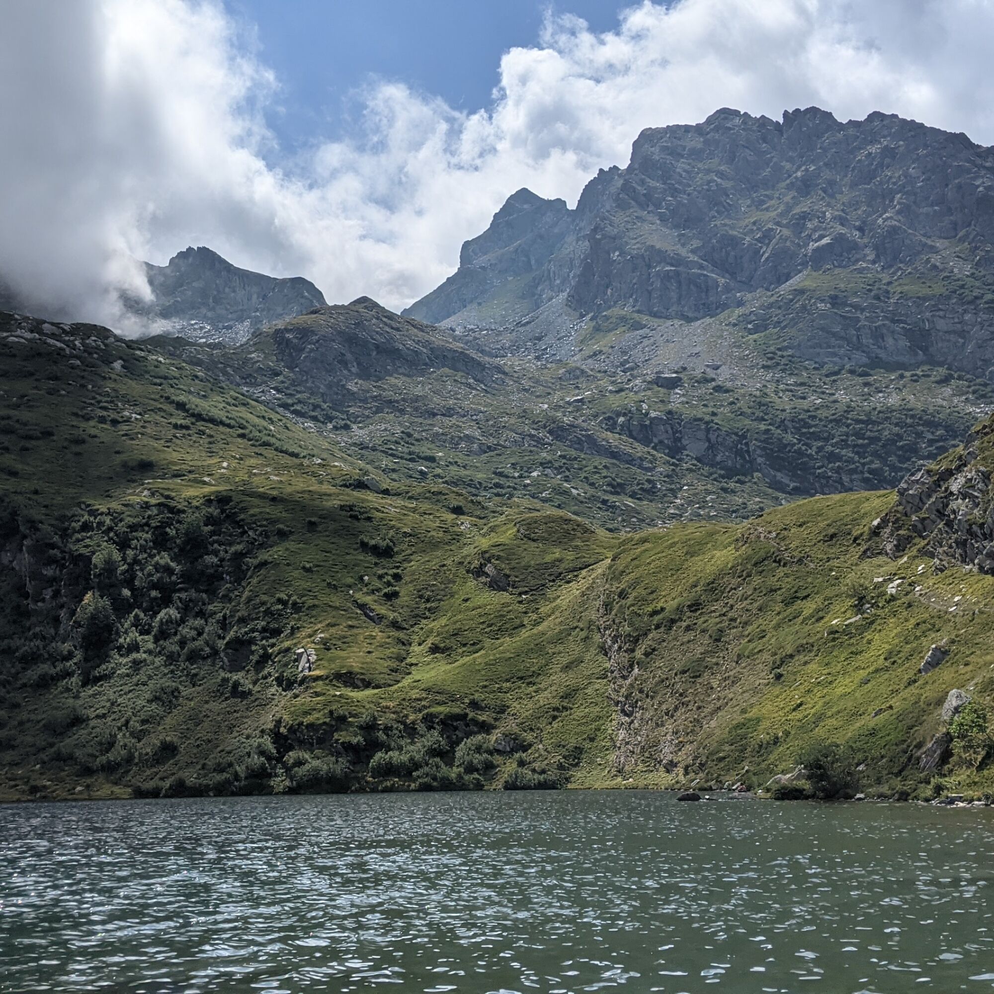
Lake Nero is the second largest natural lake of the Lanzo valleys and the route to reach it is simple and very panoramic towards the surrounding peaks (Rocciamelone and Lera being the highest).
The departure...
Lake Nero is the second largest natural lake of the Lanzo valleys and the route to reach it is simple and very panoramic towards the surrounding peaks (Rocciamelone and Lera being the highest).
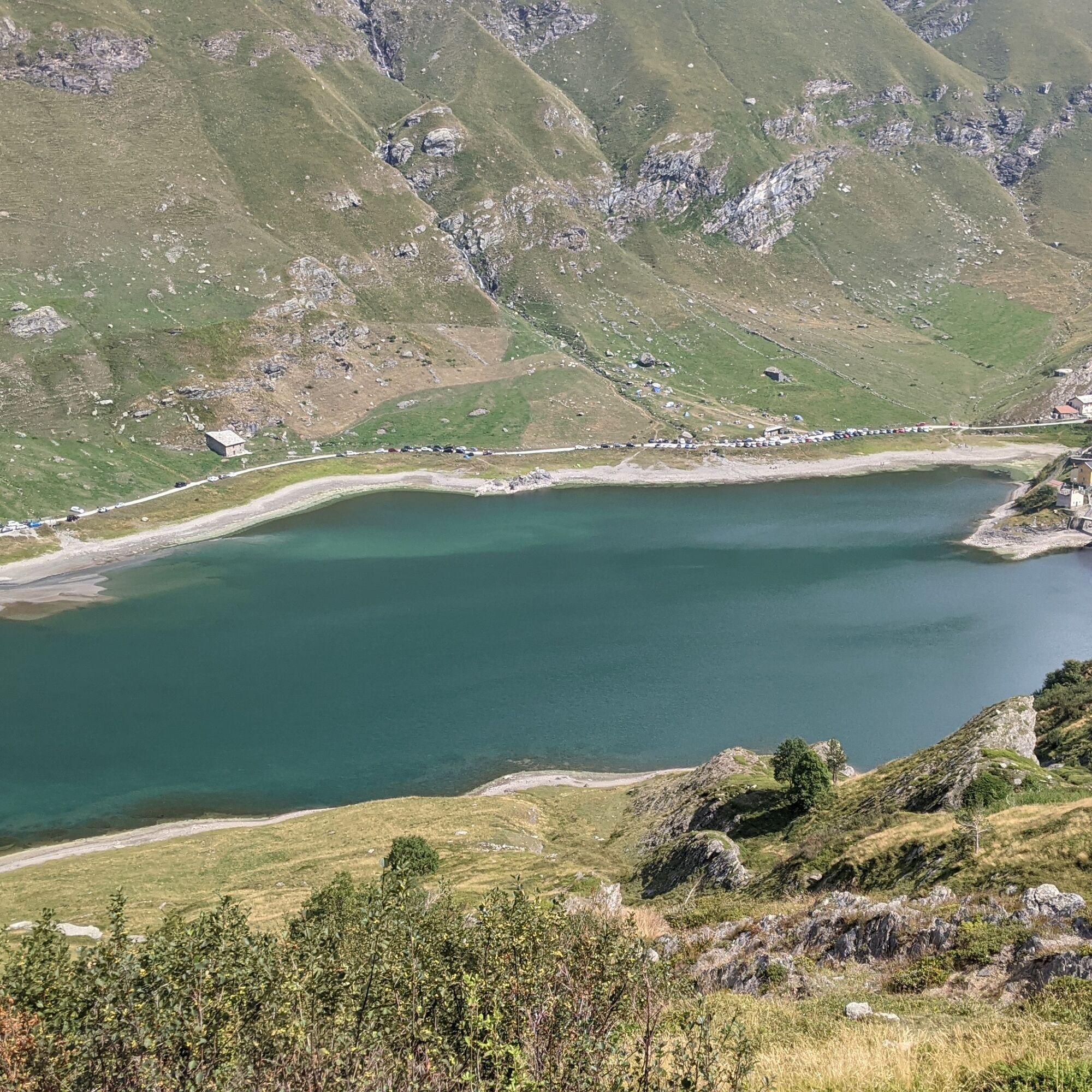
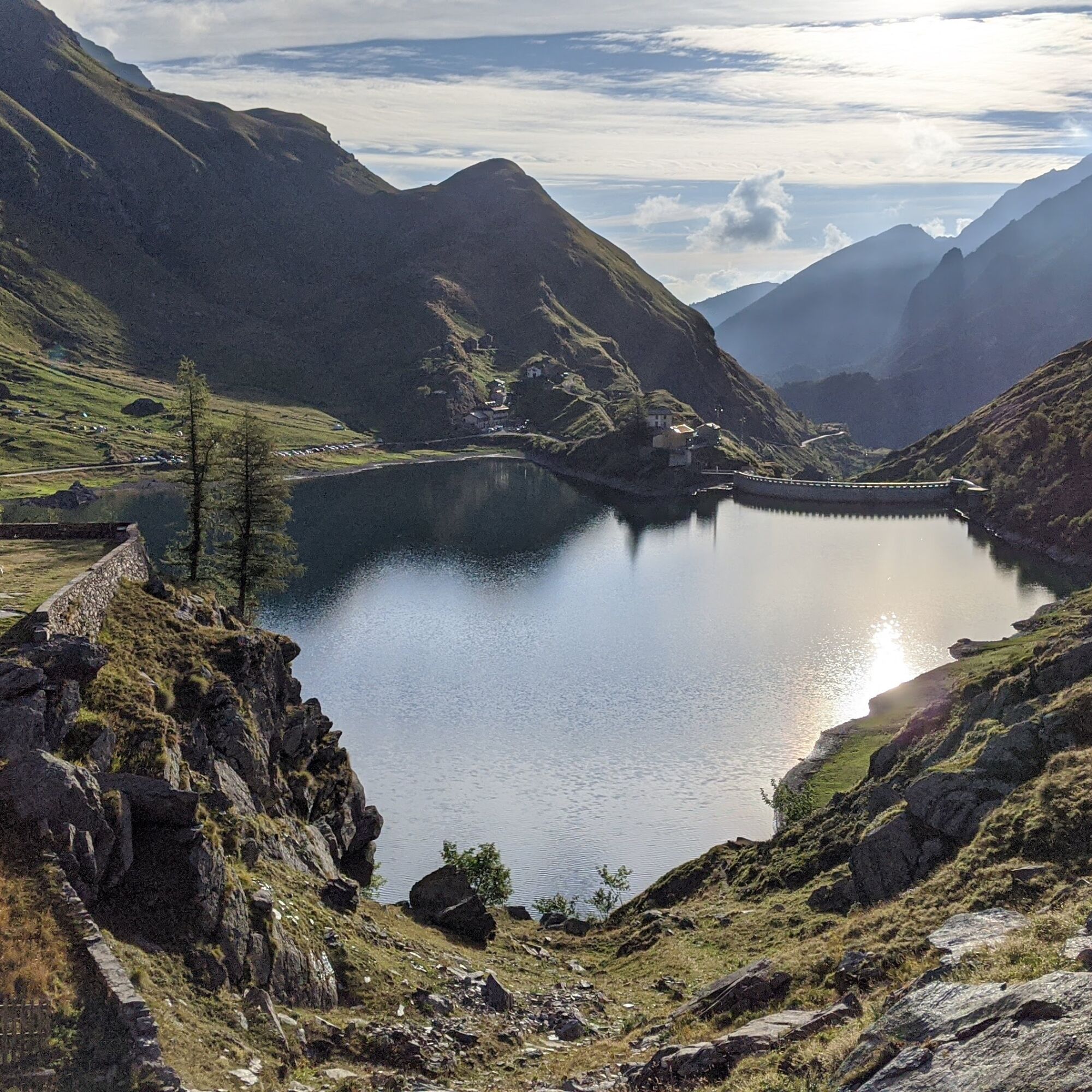
The departure is from the shores of Lake Malciaussia, a very scenic artificial basin that submerged the ancient village and is visited by many tourists on sunny days. Also characteristic and charming are the stone houses of the Pietramorta hamlet located at the start of the walk.
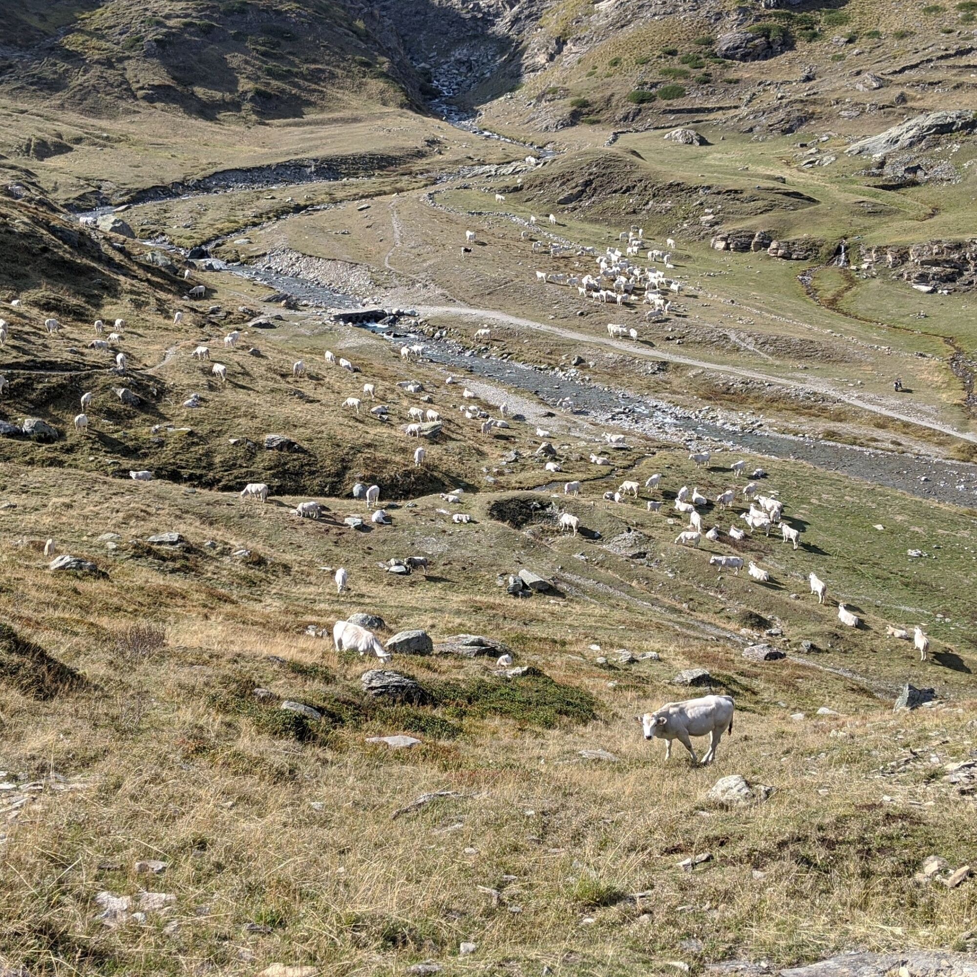
The environment is open meadows used as pasture and shrubs of rhododendron and blueberry, which color with their flowering the first at the beginning of the season and the second at early autumn.
The path is always very evident and wide, only in some parts with steep slope or slightly uneven.

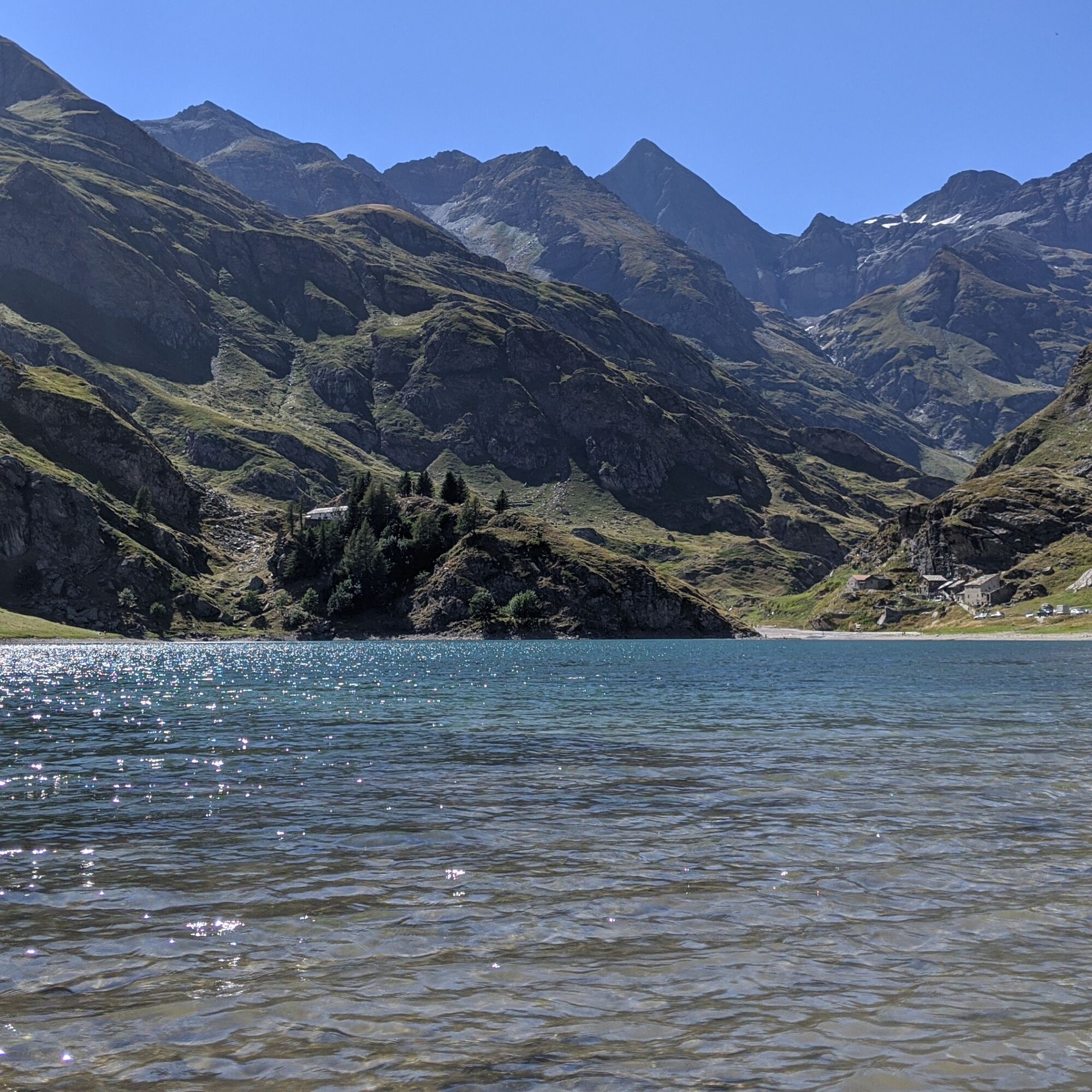
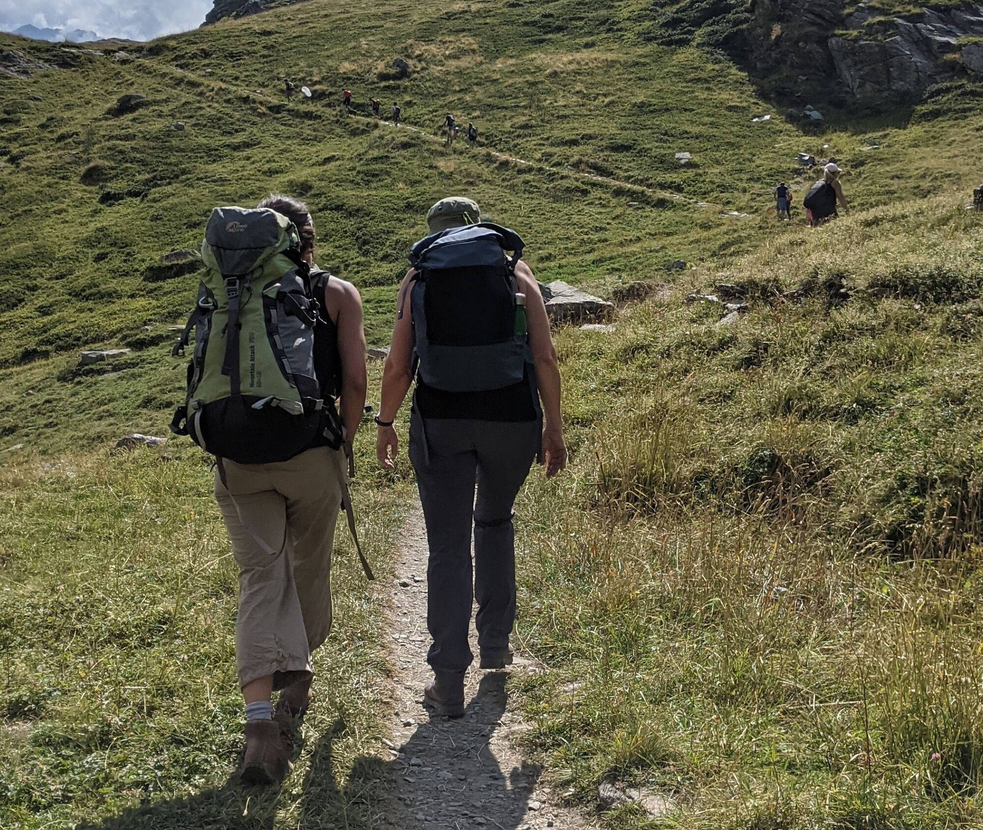

Continue on the dirt road that runs along the lake until you enter among the houses of Pietramorta. Continue and at the fork turn left, crossing a bridge shortly after. Immediately after, turn left again.
The path climbs to a saddle from which there is a beautiful view of Lake Malciaussia. After a short flat stretch, the climb resumes. You then reach a fork: turn left (path 113) and ignore the path that climbs to the Iron Cross. Continue to follow the path, marked with white and red dots and signs for Lake Nero, up to a ledge. Descending a few meters, you reach the shores of the lake.
For the return, you can go back the same way or (recommended) follow the right side of the lake and climb an obvious little path up to a panoramic saddle overlooking the lake below. Here, descend on the right, taking the path descending from the Turlo ponds (path 113a). You will shortly reach the outward path, which you take again turning left.
Non-slip sole footwear, wind/rain protection, a warm layer, hat, and sunglasses are recommended.
There are no refreshment points along the route, so you must stock up on water (a couple of fountains are present near Lake Malciaussia) and food at the start.
Useful exits from the Turin ring road are Venaria Reale or Borgaro: then enter provincial road 1 (direct route) of the Lanzo valleys. At Germagnano turn into the Viù valley (signs for Viù, Lemie, Usseglio) and continue to the Margone hamlet. Here in summer weekends there may be a toll to enter the lake and if too many cars arrive, a ban on further access. For information on these provisions, consult the Usseglio municipality website.
From Margone the road becomes very narrow and in 4.5 km, with many curves, reaches the dam and then the lake shore (be careful to stop in various small lay-bys to let cars pass in the opposite direction).
Beside the road, near Lake Malciaussia, parking is available
For a typical lunch or even just a coffee near Lake Malciaussia, the Vulpot refuge is available


Popularne wycieczki w okolicy
- 4,5
Rocciamelone partedjo dalla Riposa. Mompantero, Piemont/Italien
średniWędrówka 10,6 km - 5,0
BALME Green Lakes and Lago Paschiet
średniWędrówka 7,51 km - 4,5
Hiking at Lake Clair
ciężkiWędrówka 6,99 km - 5,0
BALME Arnas Ring - Pian della Mussa
ciężkiWędrówka 13,6 km - 5,0
Alta Via delle Valli di Lanzo | Stage 4 Rifugio Citt di Ciri - Rifugio Cibrario
ciężkiWędrówka 12,0 km - 5,0
LEMIE Ovarda Lakes loop
ciężkiWędrówka 15,9 km - 4,7
High Way of the Lanzo Valleys | Stage 6 Tazzetti Refuge - Lake of Malciaussia
średniWędrówka 5,49 km SUSA From Susa to Rocciamelone
ciężkiWędrówka 13,7 kmUSSEGLIO Lake behind the Tower and of the Rossa
ciężkiWędrówka 17,1 kmHike from the Avérole refuge through the hamlet
średniWędrówka 9,36 km
Wędrówki i tropienie


Nie przegap ofert i inspiracji na następne wakacje
Twój adres e-mail została dodana do listy mailingowej.





