







Historic mountain routes | Val Troncea – Troncea

Leaving the car in the large car park located near Pattemouche, take the Val Troncea on the orographic right or left of the Chisone for about 2 km until you reach the Baracôt 'd la Poumpë, once used as...
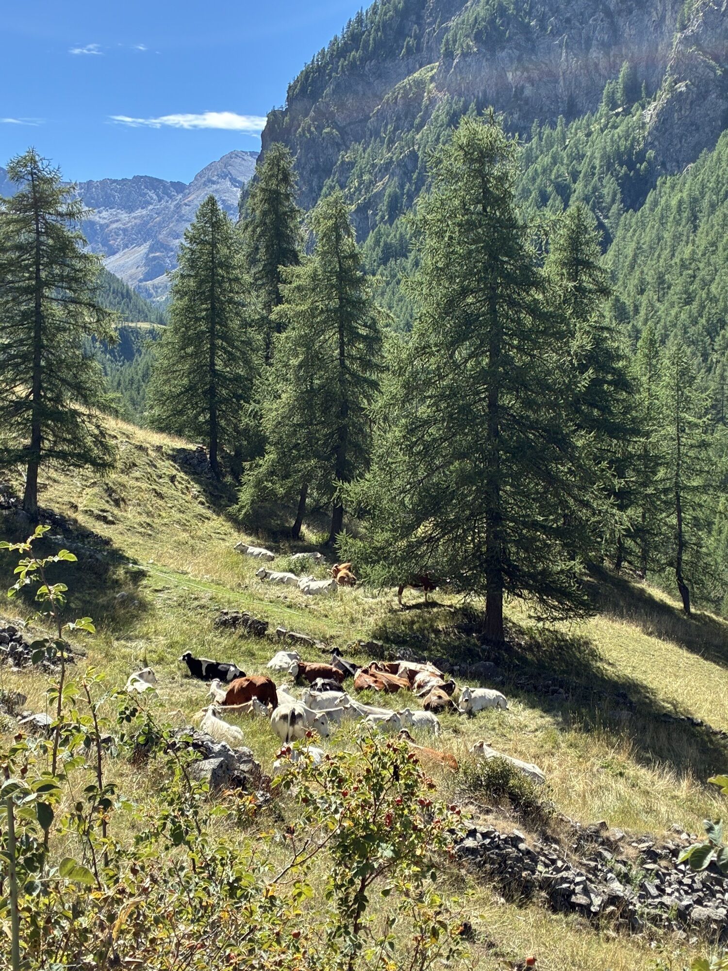
Leaving the car in the large car park located near Pattemouche, take the Val Troncea on the orographic right or left of the Chisone for about 2 km until you reach the Baracôt 'd la Poumpë, once used as a fire pump depot of the Laval hamlet, and now the Park's summer information point. Along the dirt road you discover a valley extraordinarily rich in landscapes, flora, fauna and history (the La Tuccia foundry, the Lendeniera fountain, the Beth mines, etc...). It is a valley of wonderful views, of grazing herds, of intense colors that on sunny days stand out under the blue sky. Go past the crossroads for Troncea and continue keeping to the right and along the stream. The valley opens up and shows its wildest face until you reach Alpe Meys, a summer mountain pasture frequented by the same family of margari for almost 90 years: the Raso family.


Tak
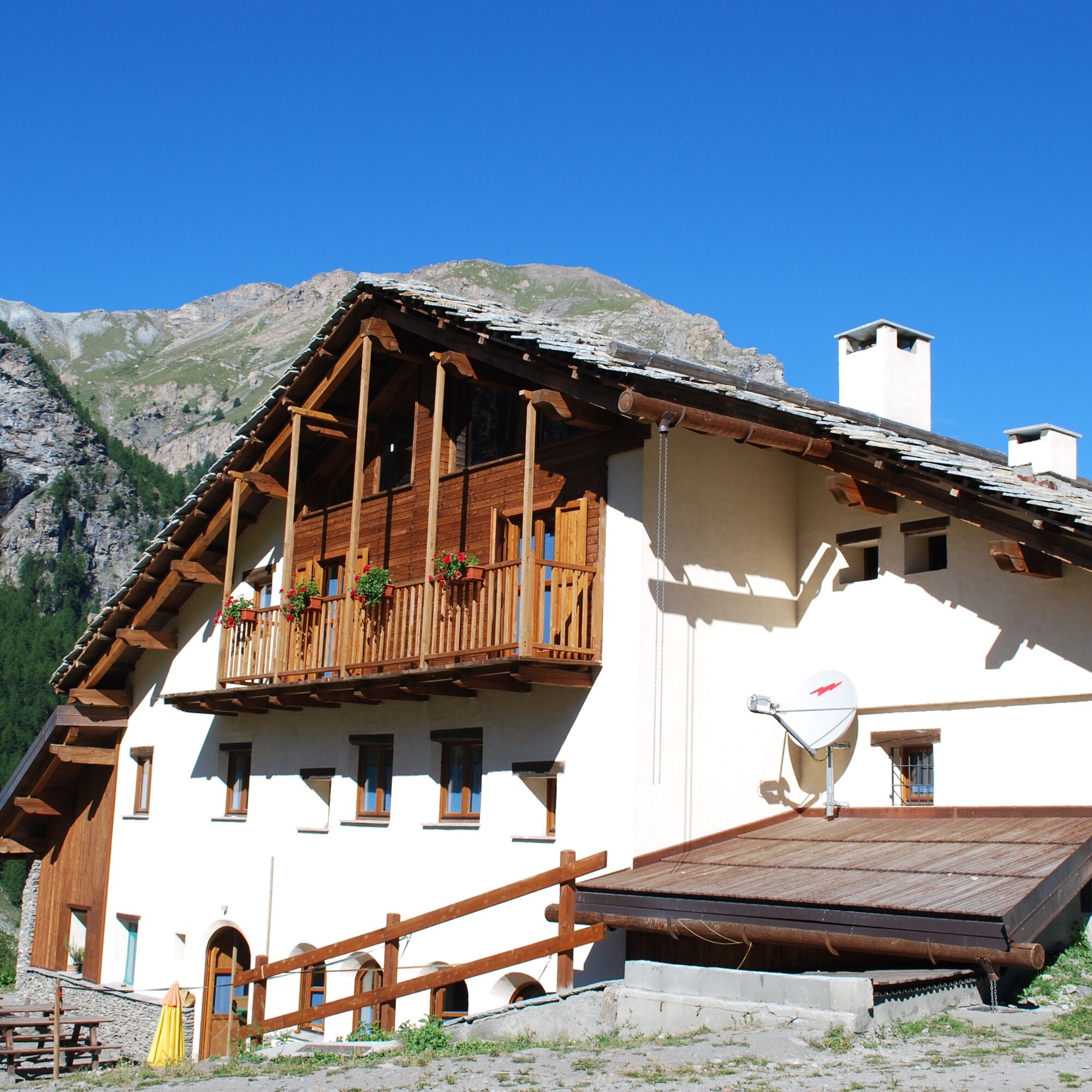
Easy route. It is possible to obtain a pass from the park authority which allows disabled people to travel along the valley road with a motorized vehicle and enjoy the natural beauty and views of the valley.Additional tips and recommendationsIt is not necessary to bring a packed lunch as along the route, or with short variations, you reach the Rifugio Mulino di Laval or the Rifugio Troncea. Fountain water along the walk.
At the Plan roundabout, on the S.P. 23 of Sestriere take direction Val Troncea and continue for about 600 meters until you find a large dirt car park where you can leave your car. Payment may be instituted at certain times of the year.
After the snow-making basin and the large parking lot, you come across a bridge that crosses the Chisone stream: you can choose to cross the bridge and continue on the dirt road at the bottom of the valley or take the path on the orographic left.
Parking in Laval, continuing from Pattemouche, beyond the "Pount daz Itrèi" bridge for another two kilometres. Usually this summer parking is paid.
In the evening and morning hours or during periods of lower tourist attendance, you can encounter marmots, chamois, ibex and eagles. Near the Lendeniera fountain you can see a fountain covered by a cushion of mosses (Cratoneuron commutatum and Drepanocladus revolvens) responsible for noticeable travertinisation phenomena. The route can also be done on horseback or by bicycle.


Popularne wycieczki w okolicy
-
BARDONECCHIA - Loop Colle della Scala - Col de Montgenèvre - Colle del Sestriere
ciężkiDroga rowerowa 91,9 km -
5,0
SESTRIERE Monte Rognosa
ciężkiWędrówka 6,42 km -
5,0
La Via dei Saraceni (Sauze d'Oulx)
średniMountainbike 33,6 km -
CESANA T.SE Lago Nero - Seven Colors Lake
średniWędrówka 3,51 km -
SAUZE D'OULX Richardette - Montagne Seu )
średniMountainbike 19,9 km -
5,0
SESTRIERE Brugnetti-Sidoti trail rhododendron loop
światłoWędrówka 5,93 km -
5,0
OULX Montagne Seu
światłoWędrówka 5,28 km -
OULX Borgata Seu (Gran Bosco Natural Park)
światłoRakieta do chodzenia po śniegu 5,93 km -
PRAGELATO Colle dell'Assietta
ciężkiMountainbike 53,3 km -
5,0
CESANA T.SE Cesana - Fenils
światłoWędrówka 4,60 km

Wędrówki i tropienie


Nie przegap ofert i inspiracji na następne wakacje
Twój adres e-mail została dodana do listy mailingowej.





