







PRAGELATO Colle dell'Assietta
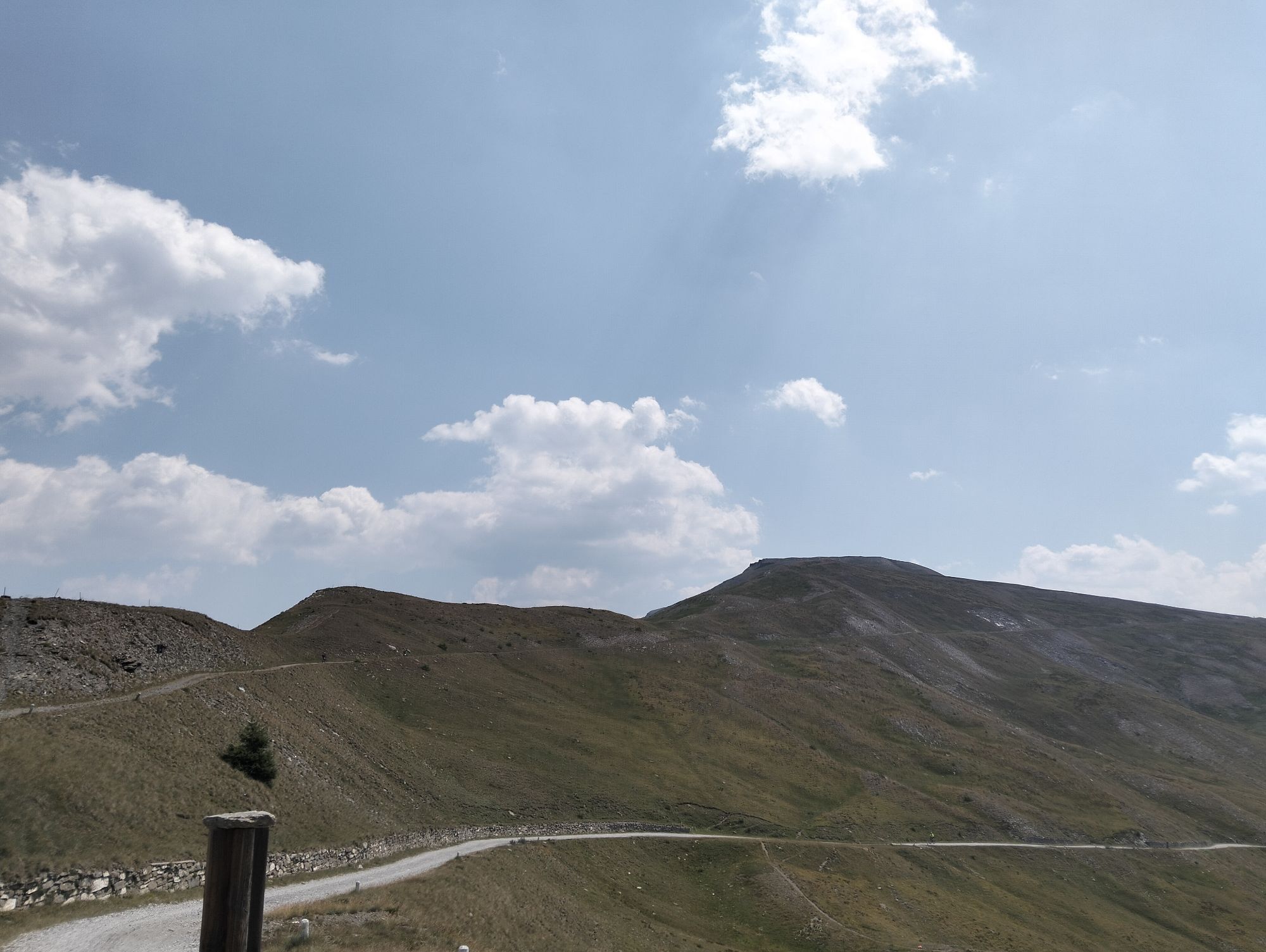
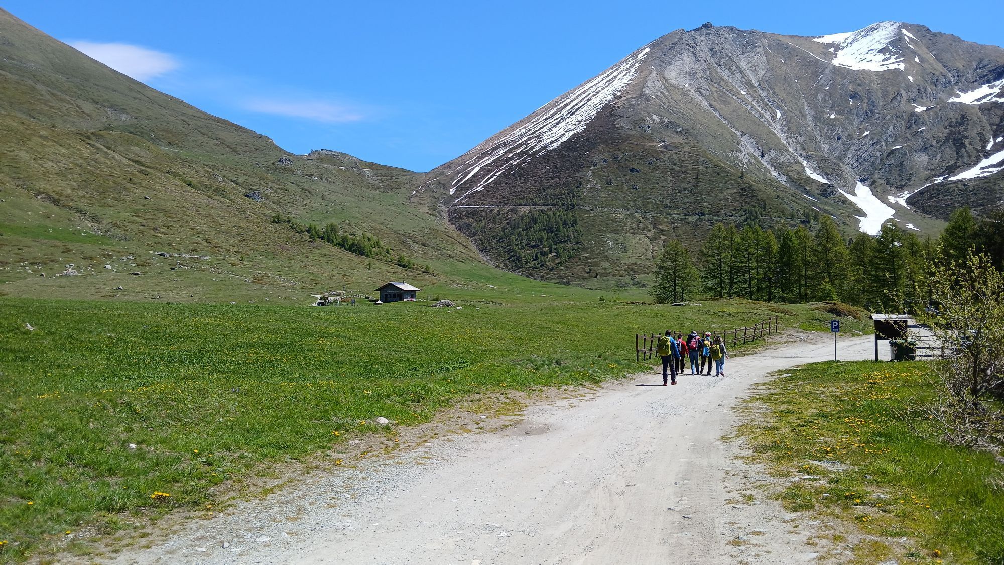
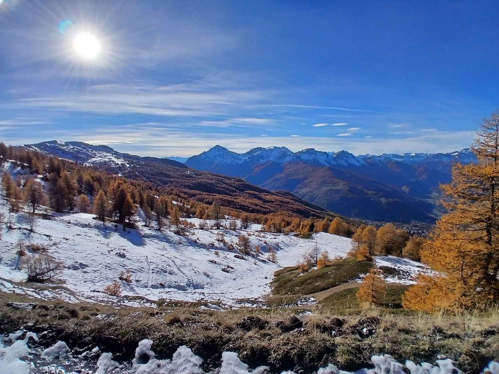
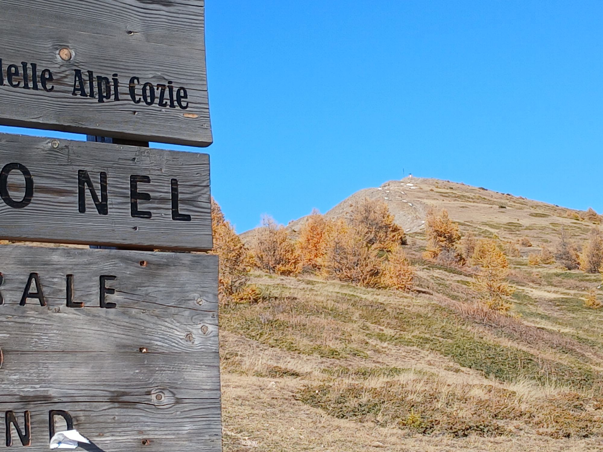
From the hamlet of Granges in Pragelato, ski jump area, follow the dirt road towards Pattemouche-Plan where, near the cable car, the steep trail section begins up to the campsite of Borgata Sestriere to...
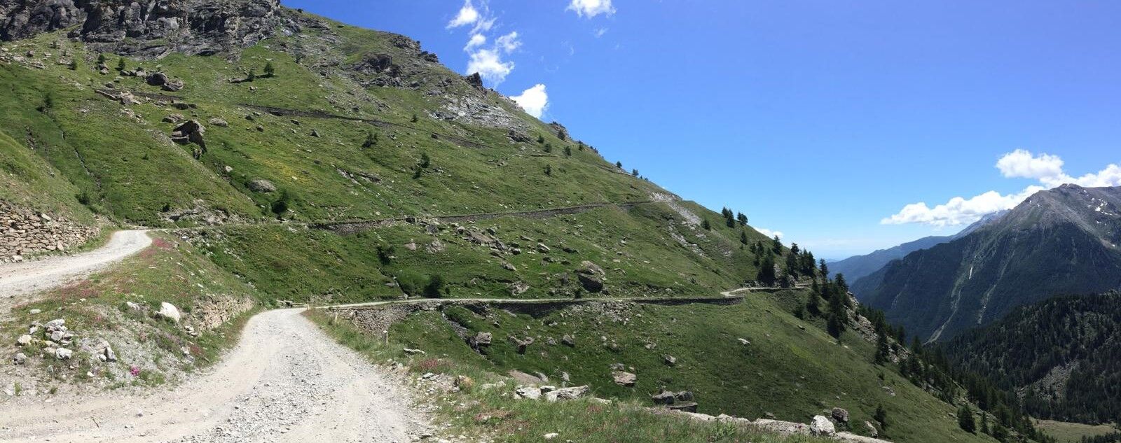
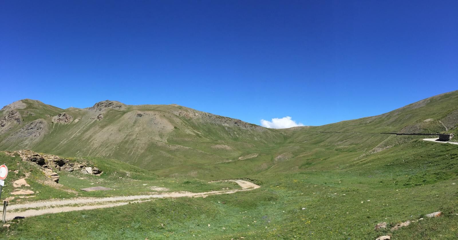
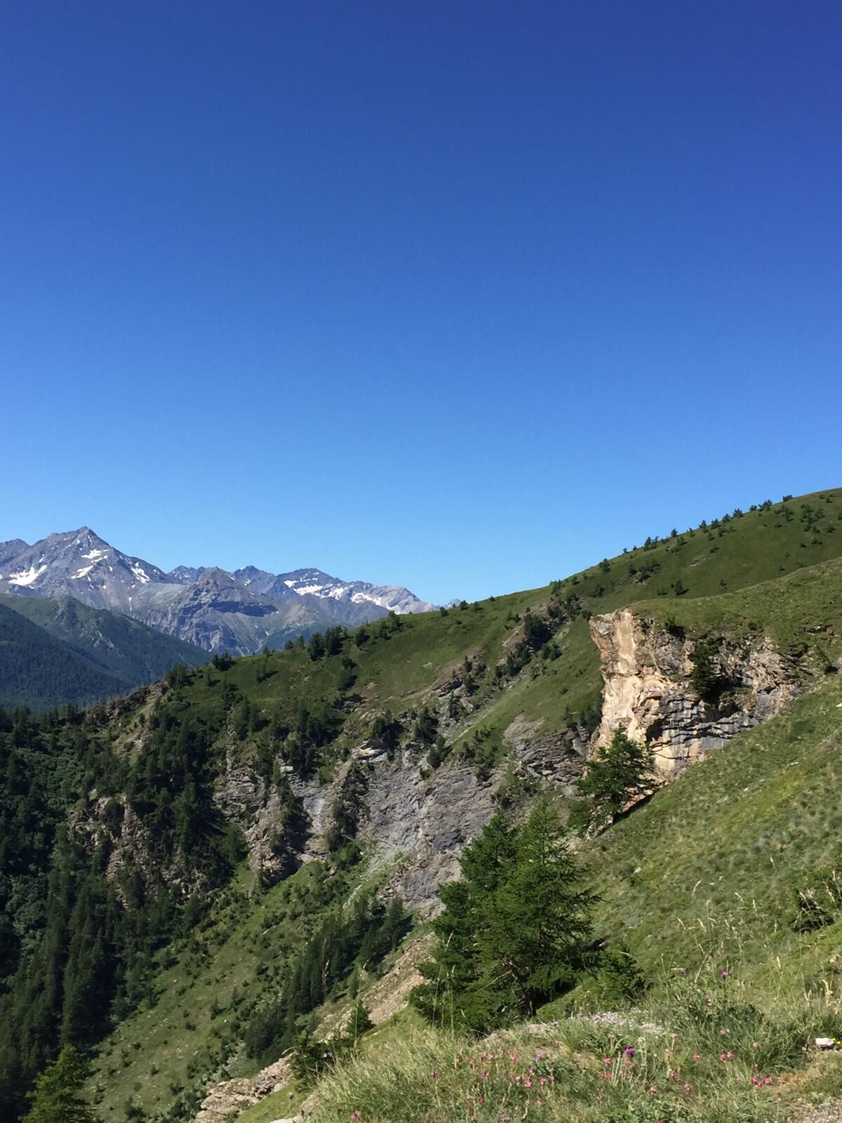
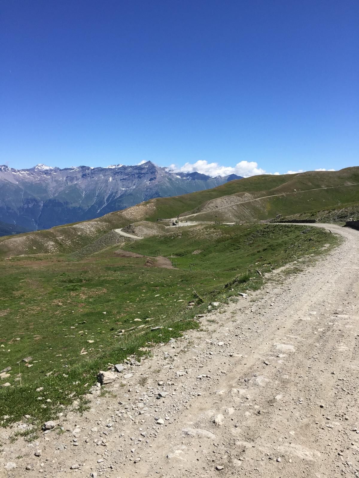
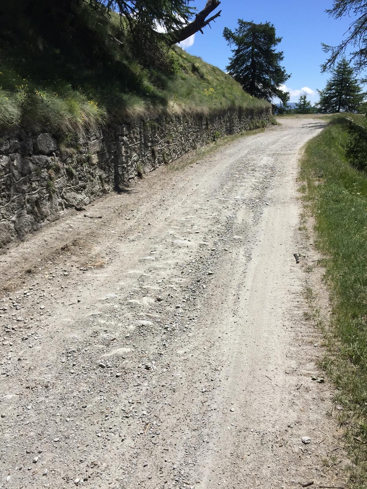
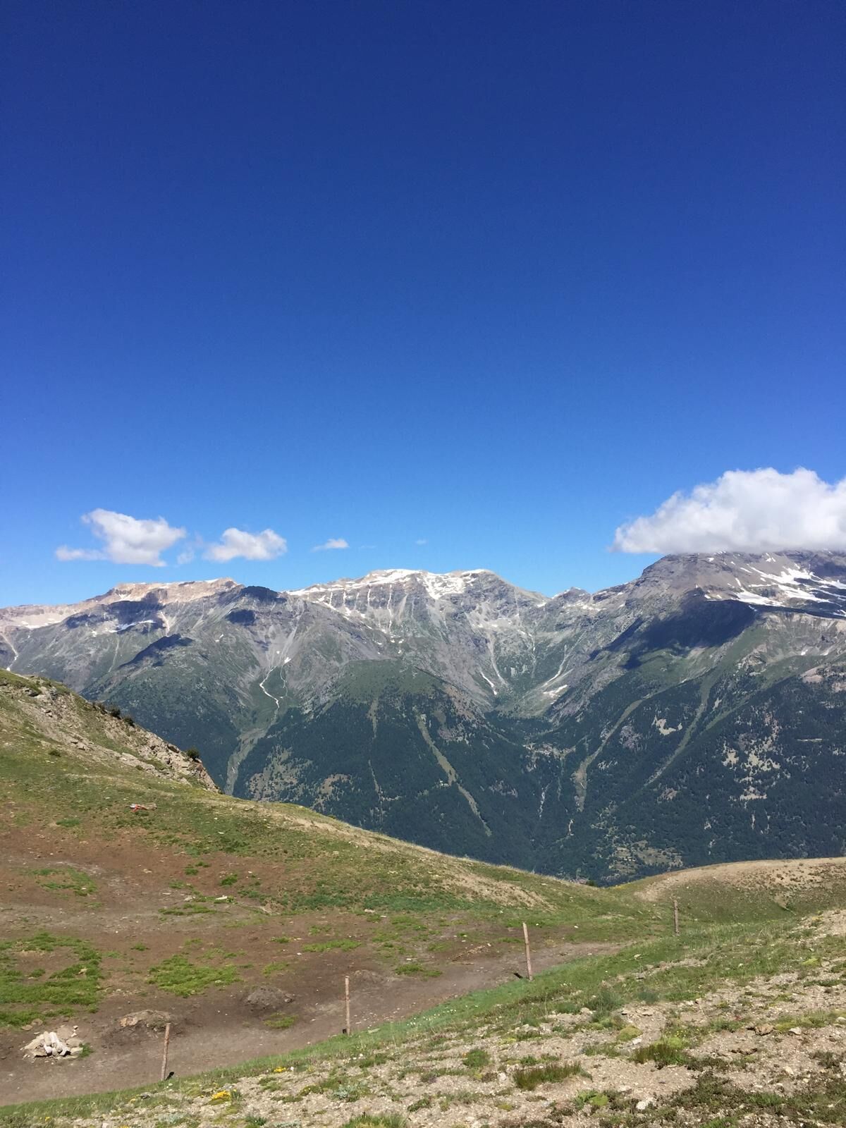
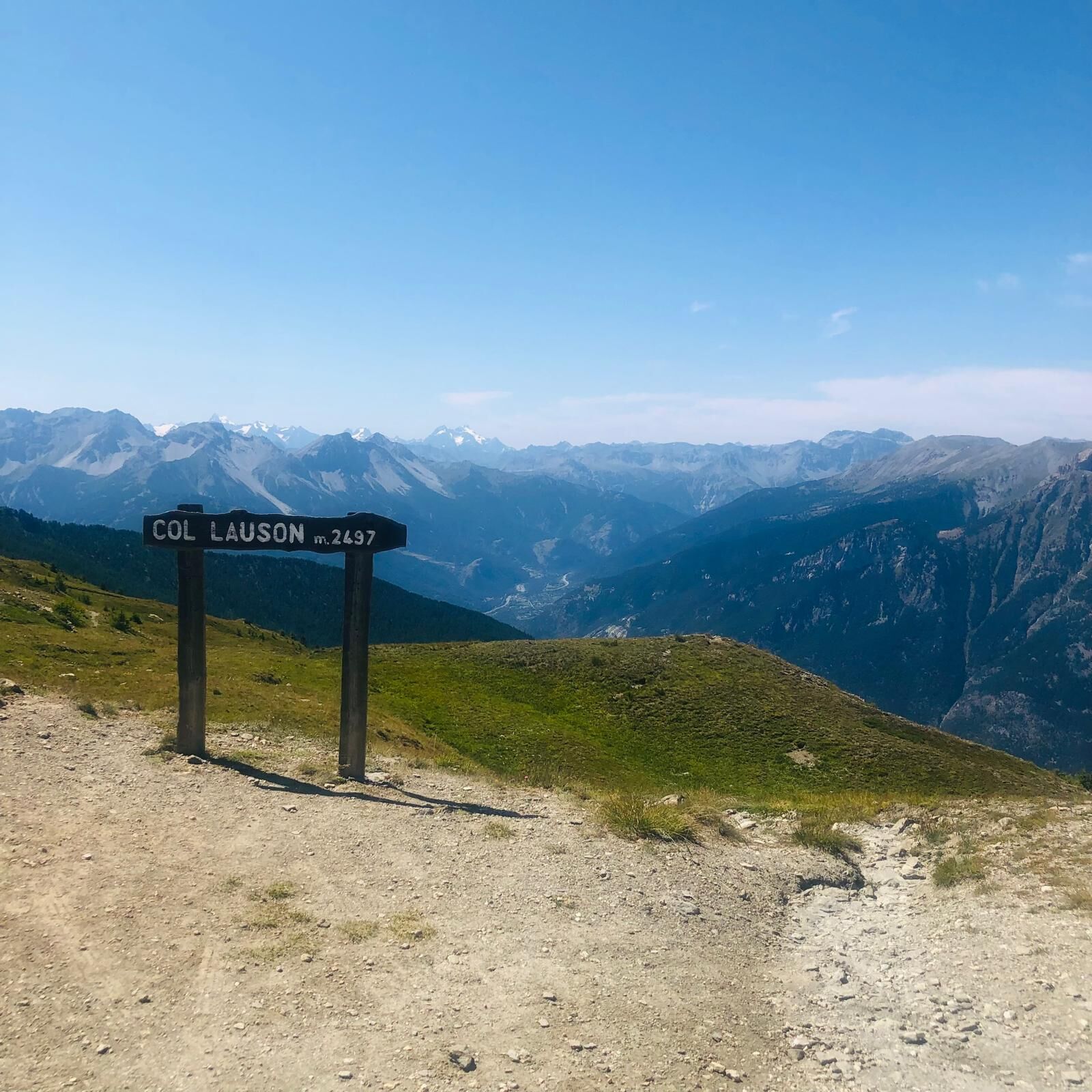
From the hamlet of Granges in Pragelato, ski jump area, follow the dirt road towards Pattemouche-Plan where, near the cable car, the steep trail section begins up to the campsite of Borgata Sestriere to continue up to Colle di Sestriere, taking the road of Col Basset and then the Strada dell'Assietta. The dirt road closed to traffic on Wednesdays and Saturdays is a panoramic balcony overlooking the Chisone and Susa valleys, up to the Assietta ridgehead, where at the Casa Assietta Jack Canali refuge, the only refreshment point, the descent towards Pian dell'Alpe begins. The route runs along a military road offering breathtaking views, historical points of interest, and forts.
Upon reaching the village of Pourrières, cross SR23 to find the dirt road that leads back to Pragelato.
Support and technical description by Matteo Blanc - cycle touring guide and Beatrice Griot - nature guide


Tak
Route suitable for MTB and E-bike
Highway A55 (Turin - Pinerolo), Pinerolo exit, continue on Provincial Road 23 of the Colle di Sestriere (SP 23R) up to Pragelato
Or
Highway A32 (Turin-Bardonecchia) with Oulx Ovest exit, continue on Provincial Road 23 of the Colle di Sestriere, pass the town of Sestriere for about 10 km towards Pinerolo. (SP 23R)
Line Bus Arriva 275, La Ruà stop
Uzyskaj wgląd
Zawsze na żywo z ponad 9 500 kamer internetowych. bergfex Jako użytkownik Pro, możesz teraz zobaczyć odpowiednie kamery internetowe dla wielu wycieczek w aplikacji wycieczki od. Pozwala to na bezpośredni podgląd aktualnych warunków.

Popularne wycieczki w okolicy
-
5,0
BARDONECCHIA Forte Jafferau Loop
ciężkiMountainbike 36,8 km -
5,0
SESTRIERE Monte Rognosa
ciężkiWędrówka 6,42 km -
BARDONECCHIA Monte Jafferau
ciężkiWędrówka 11,6 km -
SAUZE D'OULX Richardette - Montagne Seu )
średniMountainbike 19,9 km -
5,0
CESANA T.SE Cesana - Fenils
światłoWędrówka 4,60 km -
OULX Borgata Seu (Gran Bosco Natural Park)
światłoRakieta do chodzenia po śniegu 5,93 km -
5,0
OULX Montagne Seu
światłoWędrówka 5,28 km -
5,0
BARDONECCHIA Punta Sommeiller
ciężkiWędrówka 7,17 km -
La Via dei Saraceni (Sauze d'Oulx)
średniMountainbike 33,6 km -
SESTRIERE Monte Fraiteve m. 2701
średniWędrówka 8,65 km
Wędrówki i tropienie


Nie przegap ofert i inspiracji na następne wakacje
Twój adres e-mail została dodana do listy mailingowej.





