







OULX Borgata Seu (Gran Bosco Natural Park)
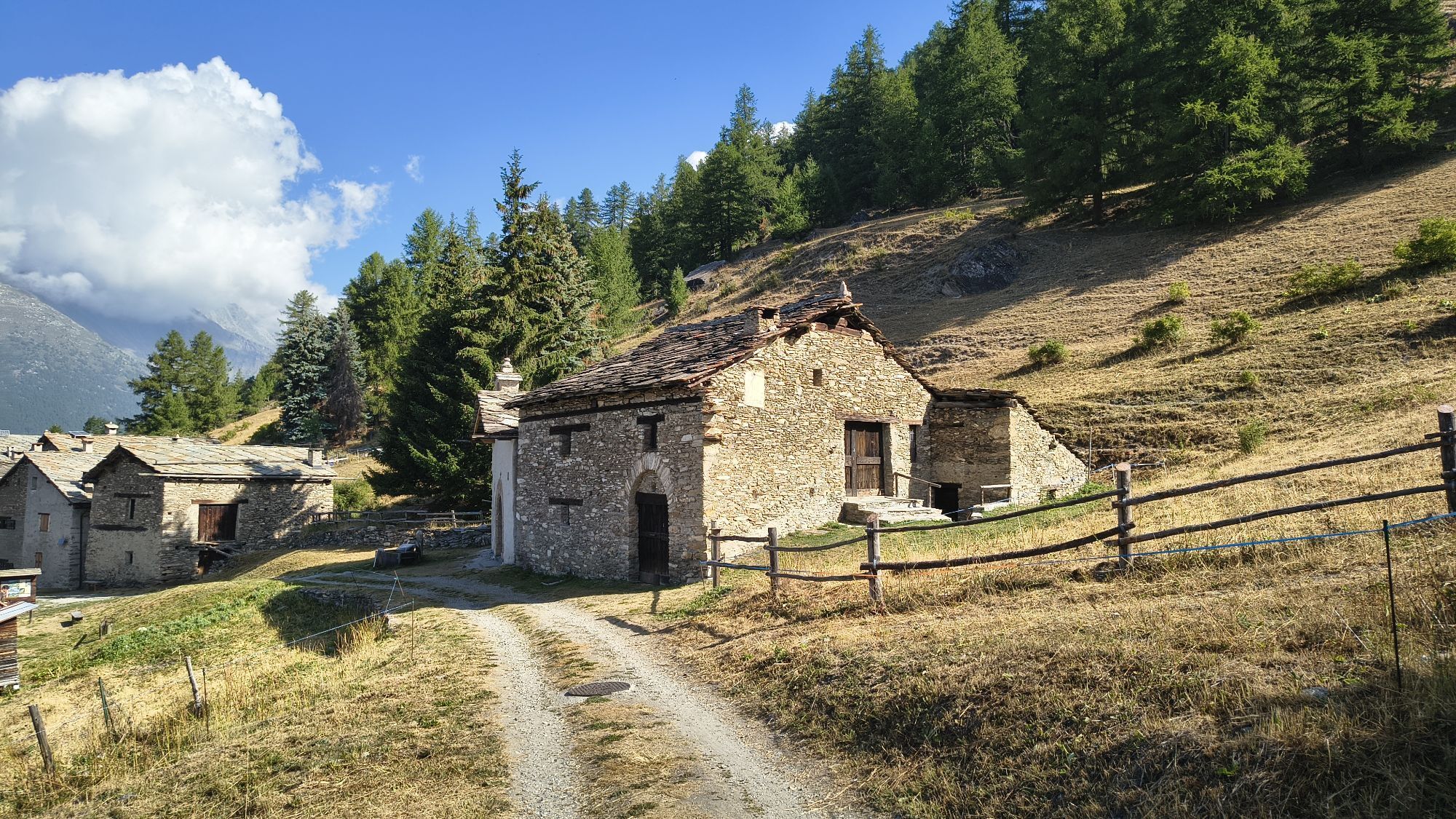
The path starts from the village of Monfol where the paved road ends and the dirt road begins, leading first to the equipped area of Ser Blanc and then to Montagne Seu.
After an initial flat section of...
The path starts from the village of Monfol where the paved road ends and the dirt road begins, leading first to the equipped area of Ser Blanc and then to Montagne Seu.
After an initial flat section of the path, some short more demanding stretches are faced until reaching the junction leading to Montagne Seu.
The same junction, to the right, also leads to Enfers/Richardette and to Col Blegier, however, it is not recommended in winter because of avalanche risk.
Going left instead, one follows a fairly straight semi-flat forest road which leads, with a downhill stretch, to Borgata Seu and the D. Arlaud Refuge. Return along the outward route.
Important: There are few parking spaces at Monfol. It is therefore recommended to leave the car at Sauze d'Oulx and climb on foot via the paved road or trails 1 and 2 which from Gran Villard lead to Monfol.



From the Genevris parking lot (near the Tourist Office) at the roundabout, turn left towards Gran Villard. Once you reach the small lake, continue on foot along the paved road or take the path on the right just behind the apartment buildings.
If you choose to use the path, once you reach Souberain, leave the house on the right and continue on the path to the left.
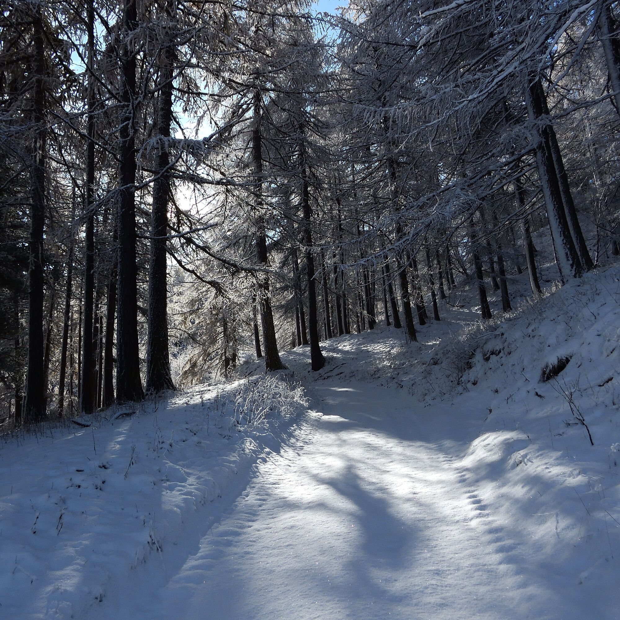
After crossing the meadow with a viewpoint over Sauze d'Oulx, enter the woods. Here the path becomes slightly more difficult for a short stretch due to exposed roots. At the intersection with Natural Park path no. 3, turn left downhill to reach the Monfol village.
Turn right among the houses and read the plaque on the first house on the left "Baita Severina" which tells the legend of the origin of the name Monfol.
Once you have left the houses, go slightly down to the left to finally take the Gran Bosco road (to the right) that leads to Ser Blanc.
After passing the gate that marks the entrance to the Natural Park, continue to the right on a first flat section of road.
Ignore the junction on the left leading to the Randuin Alpine pasture and continue right.
After some short more challenging stretches you reach another junction. Here go left and follow a fairly straight semi-flat forest road until you reach the descent that leads to Borgata Seu and the D. Arlaud Refuge.
Return along the outward route.
Tak
Tak
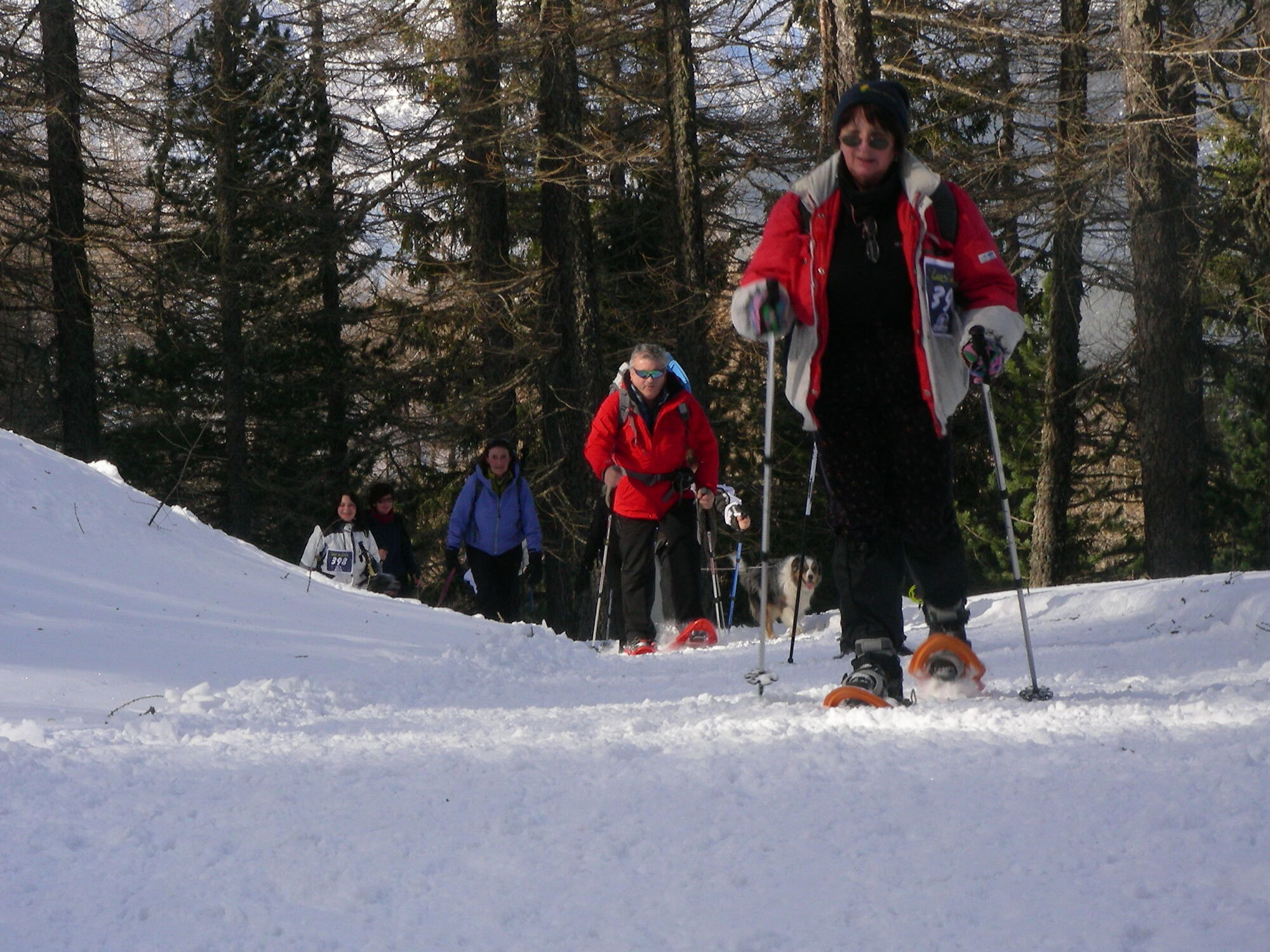
Appropriate clothing and footwear for the winter mountain environment: snowshoes or crampons (in case of compact or icy terrain) – poles - ARVA, shovel and probe
Before setting out on any hike it is recommended to:
- check the weather and avalanche bulletins from ARPA Piemonte, and get information from local Tourist Offices, Ski Schools or Mountain Guides.
- in case of significant avalanche danger, it is advised not to undertake any excursion.
- the indicated paths are walked only by foot traffic; no mechanical maintenance or grooming service, daily or periodic, is provided.
- snow hiking activity requires the use of electronic signaling and search devices as established by Legislative Decree No. 40/2021 art. 26.
- the difficulty level indicated for each route may vary depending on snow conditions.
From Torino follow signs for the Northern By-pass towards Trafori - Frejus. Then take the A32 highway towards Bardonecchia and exit at the Oulx ring road sign, heading towards Monginevro Sestriere. At the tunnel exit continue left towards Sauze d'Oulx.
Train from Torino P.N to Bardonecchia (stop at Oulx-Cesana-Claviere-Sestriere)
Arriva bus line 285 from Oulx to Sauze d'Oulx
Gran Villar Loc. Laghetto or p.le Gran Comba or p.le Genevris near the Tourist Office at the entrance of Sauze d'Oulx
Do not throw waste into the environment but take it away, possibly collecting any left by others.
The stated walking times are indicative and may vary depending on weather conditions and your abilities.
In case of particularly compact or icy snow, the use of crampons is recommended.
In the Monfol area there are no public parking lots, so it is necessary to start from the town of Sauze d'Oulx, Gran Villard locality. Here it is possible to follow the paved road to Monfol (1.8 km / approx. 40 min) or start snowshoeing following trails 1 and 2 that lead to Soubeiran - Monfol (2 km / approx. 50 min).
Bring a backpack with water and food, there are no refreshment points or fountains along the route.


Popularne wycieczki w okolicy
- 5,0
BARDONECCHIA Colle Sommeiller
średniMountainbike 25,4 km - 5,0
BARDONECCHIA Forte Jafferau Loop
ciężkiMountainbike 36,8 km - 5,0
BARDONECCHIA Decauville
średniWędrówka 7,29 km BARDONECCHIA - Loop Colle della Scala - Col de Montgenèvre - Colle del Sestriere
ciężkiDroga rowerowa 91,9 km- 5,0
SESTRIERE Monte Rognosa
ciężkiWędrówka 6,42 km - 3,5
BARDONECCHIA Sentiero dei Cosetti by Luciano Ferraris
światłoWędrówka 3,24 km BARDONECCHIA Monte Jafferau
ciężkiWędrówka 11,6 kmSAUZE D'OULX Richardette - Montagne Seu )
średniMountainbike 19,9 kmBARDONECCHIA Rochemolles Dam - Scarfiotti Refuge
średniWędrówka 7,77 km- 5,0
CESANA T.SE Cesana - Fenils
światłoWędrówka 4,60 km
Wędrówki i tropienie


Nie przegap ofert i inspiracji na następne wakacje
Twój adres e-mail została dodana do listy mailingowej.





