


SAUZE D'OULX Testa dell'Assietta - Cannon Road
Poziom trudności: T2
The "cannon road" was used in the past by armies to transport heavy artillery up to the watershed ridge between the Susa Valley and the Chisone Valley. The path along the "road" mainly winds through the...
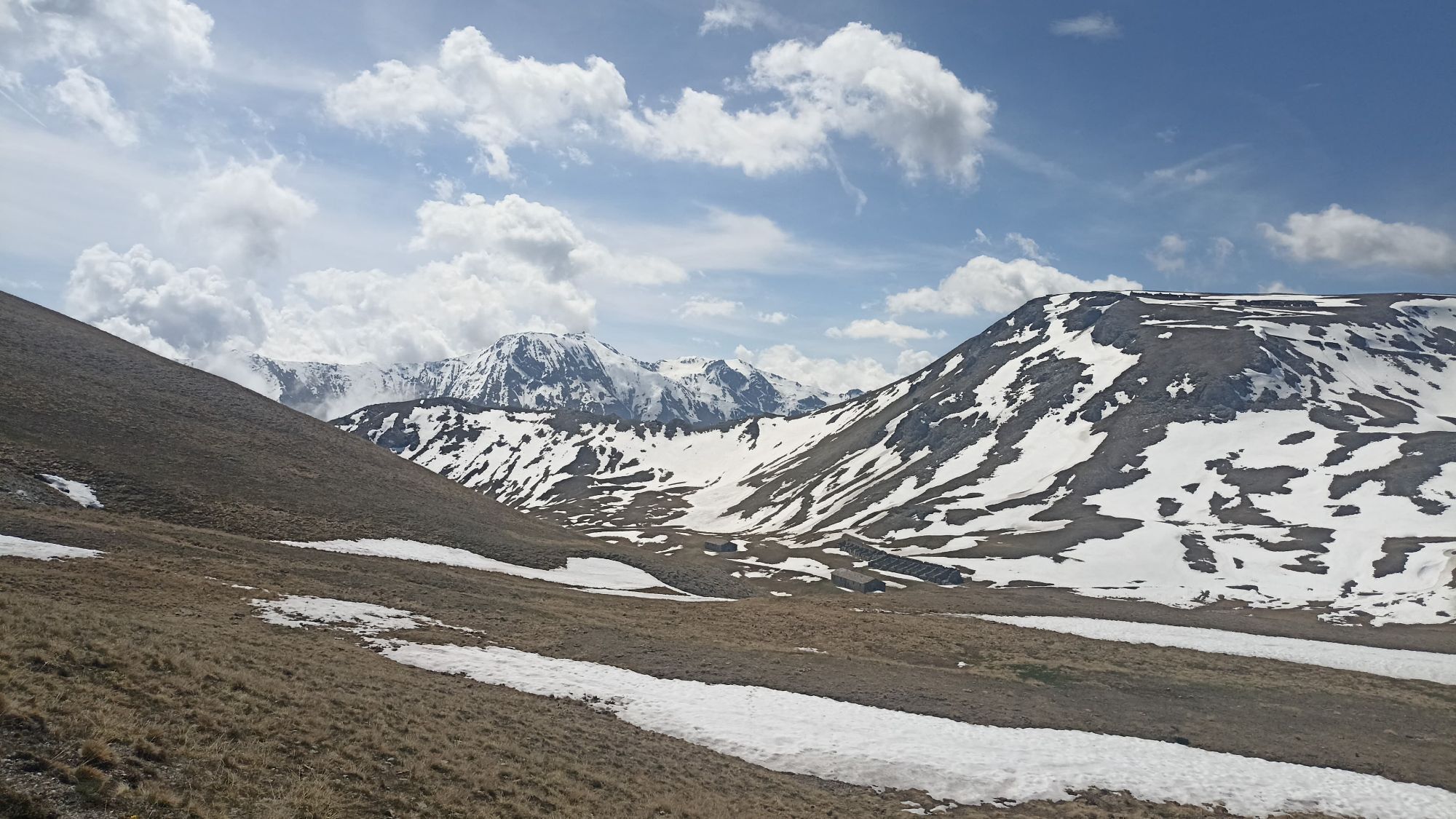
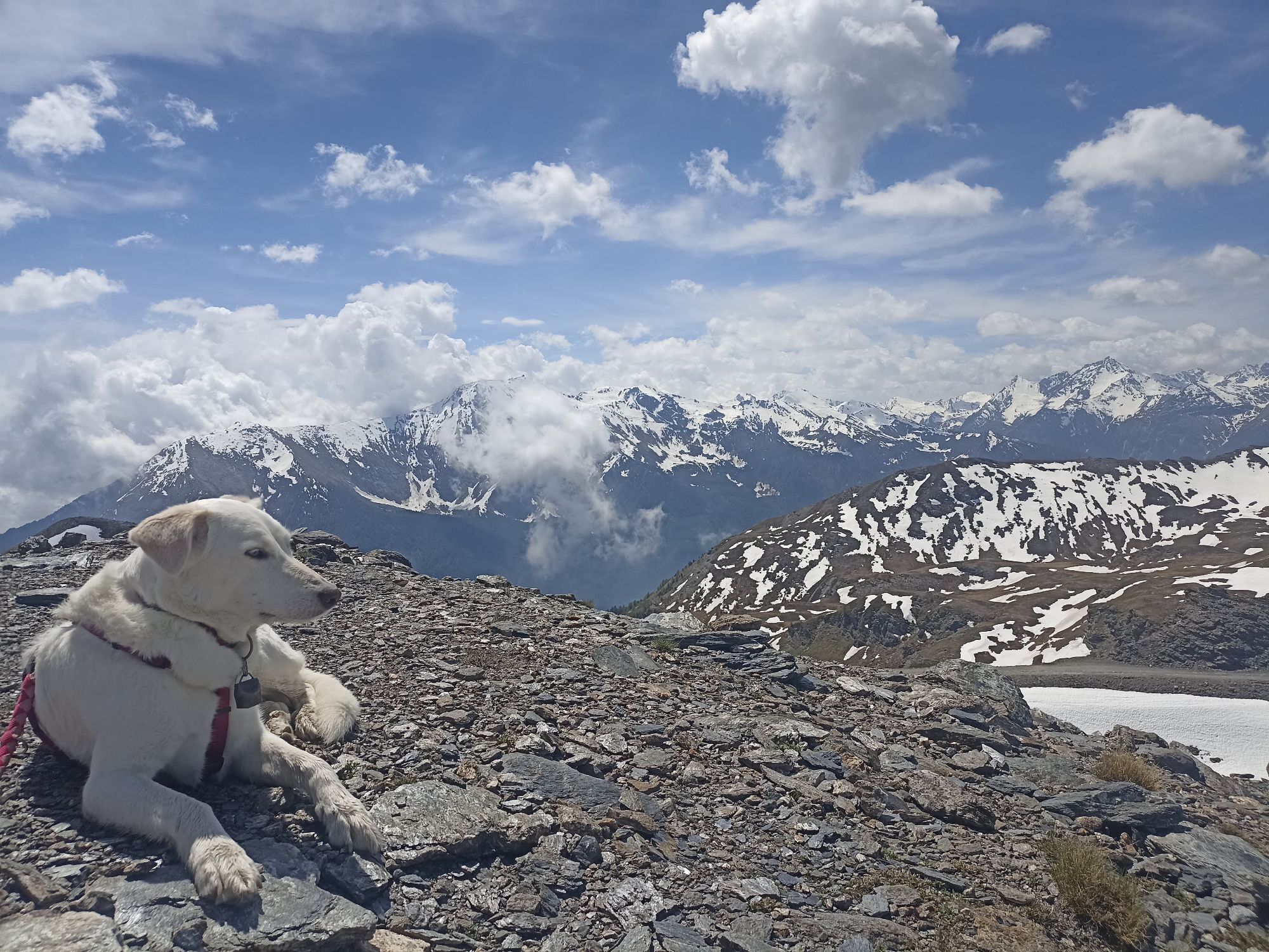
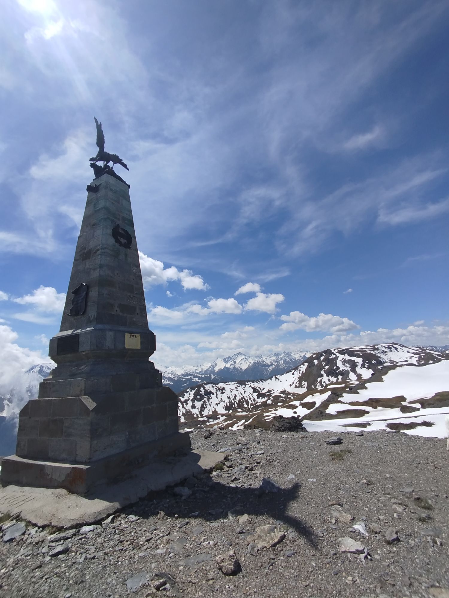
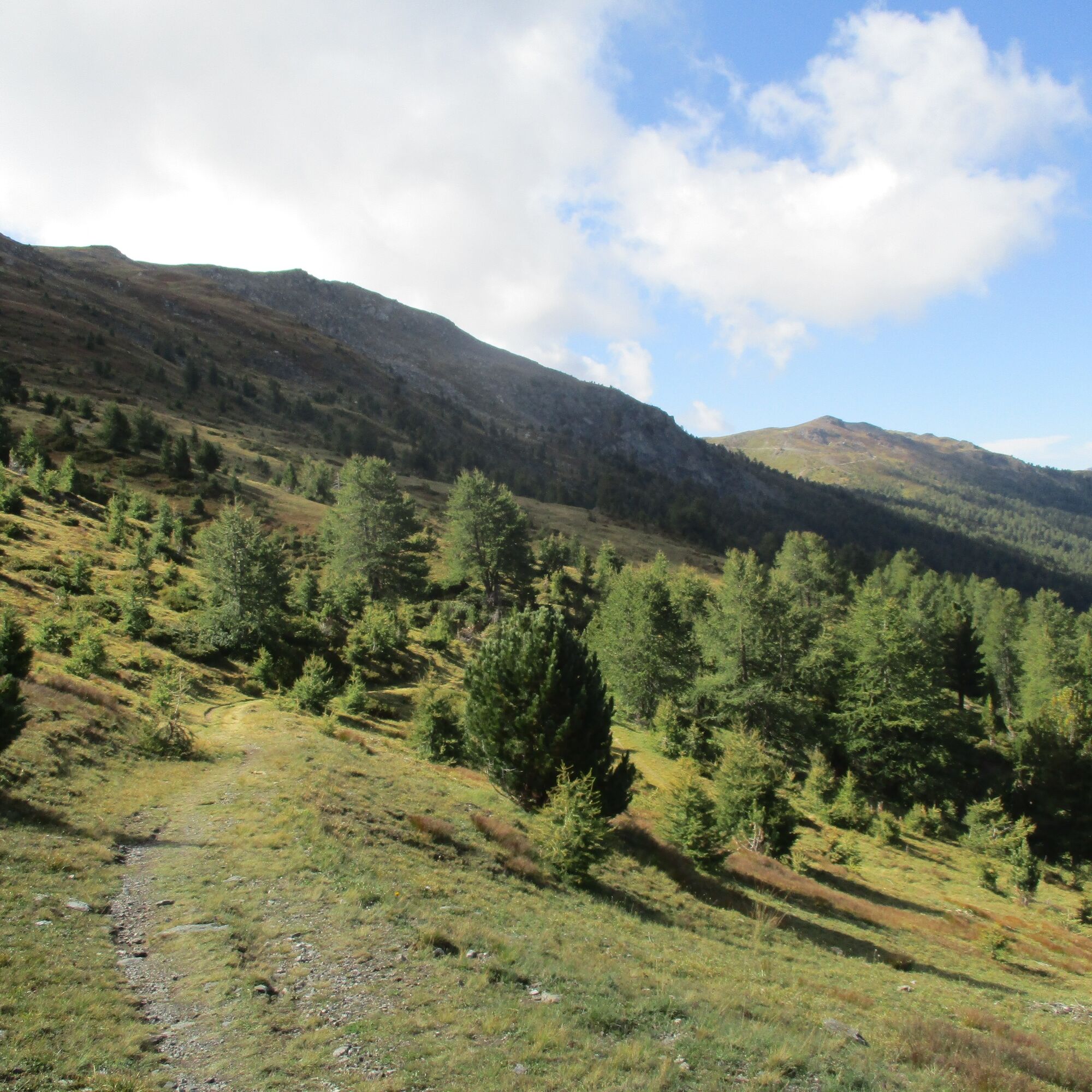
The "cannon road" was used in the past by armies to transport heavy artillery up to the watershed ridge between the Susa Valley and the Chisone Valley. The path along the "road" mainly winds through the Gran Bosco Natural Park of Salbertrand and leads up to the Testa dell'Assietta, site of the bloody "Battle of Assietta" in 1747. The first part of the itinerary, set in a wonderful forest, is followed by a panoramic high-altitude route in the alpine meadow. It has no particular technical difficulties but is rather long.
The path is part of the trail network of the Gran Bosco Natural Park of Salbertrand and is marked by the Park Authority with number 5.
Support and technical description by Barbara Demonte - Environmental hiking guide.

By car, reach Richardette and park at the entrance of the road to Enfers, in Lampuiè locality, at 1,797 m altitude. A wooden sign on the left indicates the start of the path which initially winds through a larch and Swiss pine forest. After about 1 km you reach a gate marking the entrance to the Natural Park.
Continue for about 1 km and pass the junction with the road coming from Monfol; keep walking until you see the wooden sign on the left reading "cannon road."
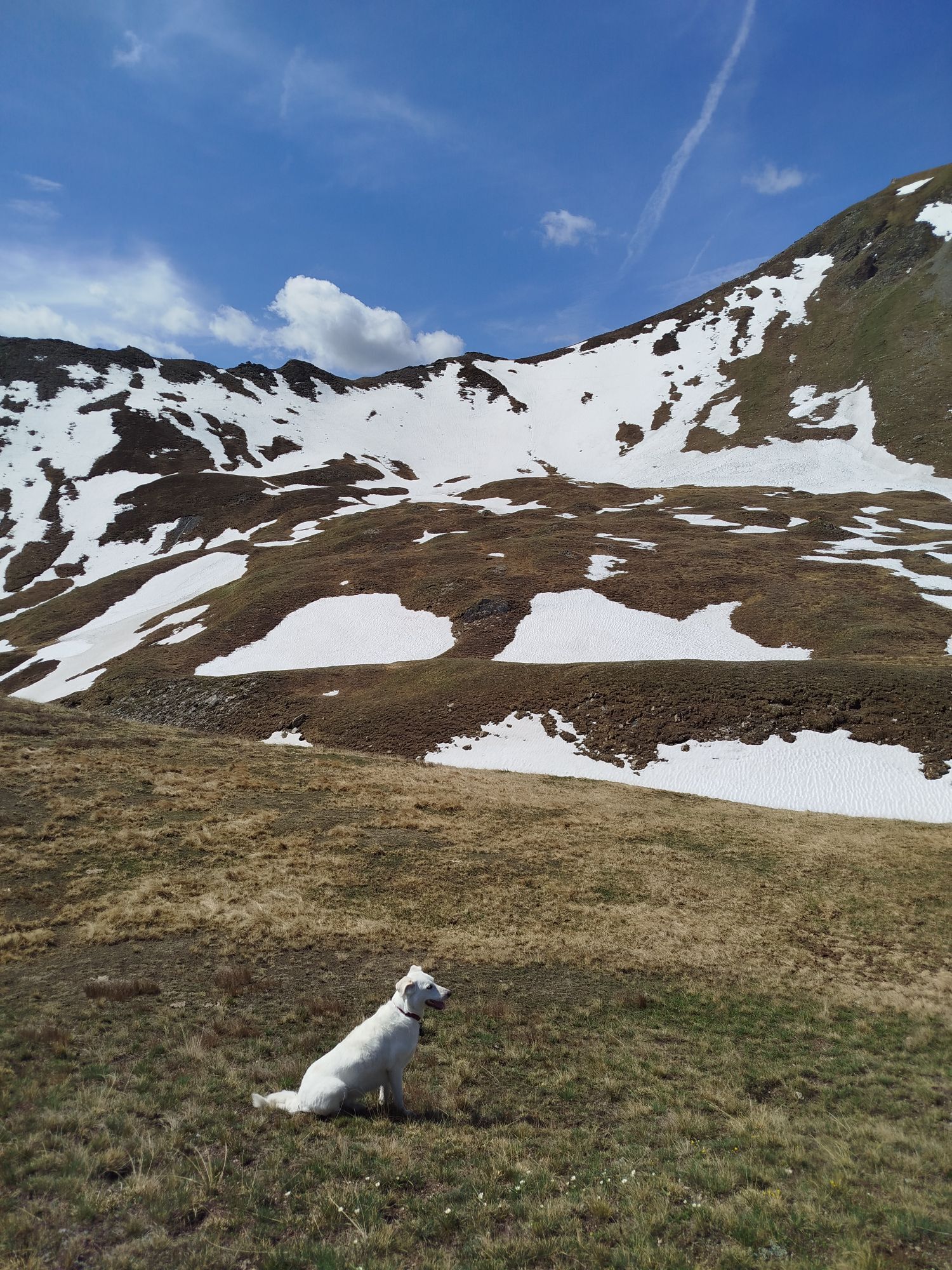
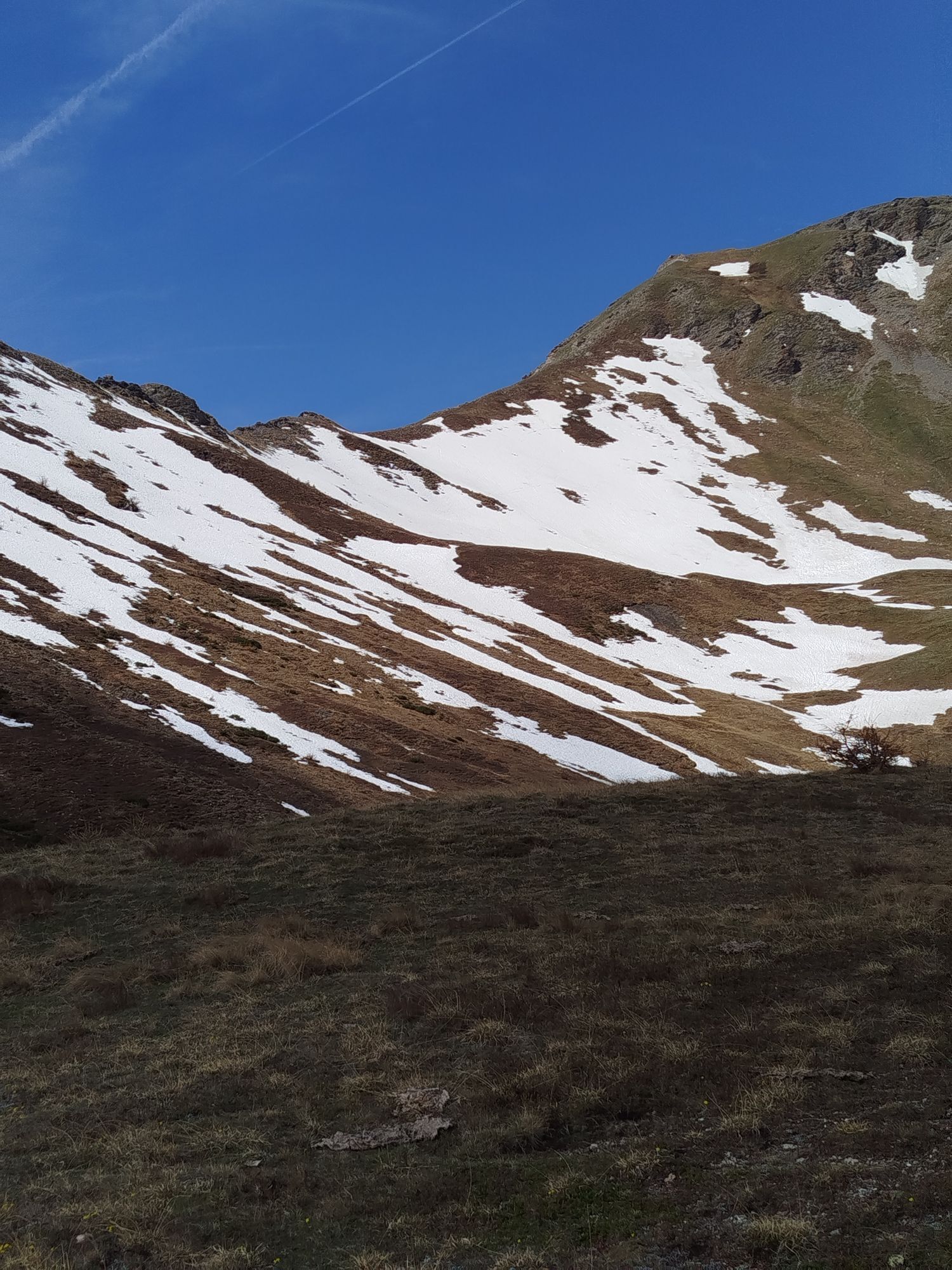
Cross the stream and continue along the path, which in the initial part is still immersed in the pine forest; then at 2280 m altitude it definitively leaves the trees and opens onto wide alpine meadows.
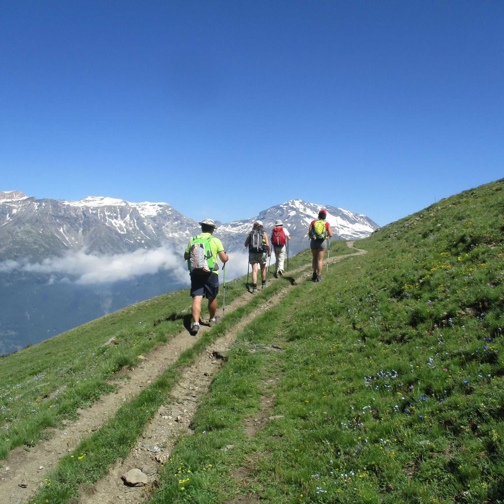
After meeting the GTA track coming up from Montagne Seu, the Cannon Road becomes increasingly steep until it reaches the Assietta provincial road ridge (2495 m).
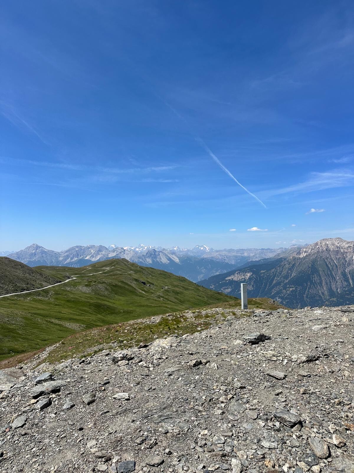
Continue to the left and then reach, after a couple of kilometers, the Testa dell'Assietta with its commemorative obelisk.
Tak
Tak
Wear clothing and footwear suitable for the environment and the season.
From Torino follow the signs for the Northern Ring Road towards Trafori - Frejus. Then take the A32 motorway towards Bardonecchia and exit the motorway at the Oulx Ring Road sign, heading towards Monginevro Sestriere. At the tunnel exit, continue left towards Sauze d'Oulx.
Reachable by public transport
Train from Torino P.N to Bardonecchia (stops at Oulx-Cesana-Claviere-Sestriere)
Arriva bus line 285 from Oulx to Sauze d'Oulx
Richardette / Lampuiè locality
T2
Before undertaking any hike, it is advisable to check weather reports or ask for information at local Tourist Offices. It is good practice not to hike alone and always inform someone of your destination.
Do not litter the environment but carry your waste with you, possibly collecting any left by others.
The indicated travel times are approximate and may vary depending on weather conditions and individual abilities.
This route is part of the trail network easily accessible from the Sentiero Italia.
Easily walkable path with no particular difficulties but rather long.
Kamery internetowe z trasy
Popularne wycieczki w okolicy
- 5,0
BARDONECCHIA Colle Sommeiller
średniMountainbike 25,4 km - 5,0
BARDONECCHIA Forte Jafferau Loop
ciężkiMountainbike 36,8 km BARDONECCHIA Monte Jafferau
ciężkiWędrówka 11,6 km- 5,0
SESTRIERE Monte Rognosa
ciężkiWędrówka 6,42 km BARDONECCHIA - Loop Colle della Scala - Col de Montgenèvre - Colle del Sestriere
ciężkiDroga rowerowa 91,9 km- 5,0
CESANA T.SE Cesana - Fenils
światłoWędrówka 4,60 km BARDONECCHIA Rochemolles Dam - Scarfiotti Refuge
średniWędrówka 7,77 km- 5,0
BARDONECCHIA Decauville
światłoRakieta do chodzenia po śniegu 4,11 km SAUZE D'OULX Richardette - Montagne Seu )
średniMountainbike 19,9 kmOULX Borgata Seu (Gran Bosco Natural Park)
światłoRakieta do chodzenia po śniegu 5,93 km

Wędrówki i tropienie


Nie przegap ofert i inspiracji na następne wakacje
Twój adres e-mail została dodana do listy mailingowej.