






BARDONECCHIA - Colle d'Etiache
Poziom trudności: T2
The route climbs steeply through the pastures in the Vallone d'Etiache up to the Colle d'Etiache
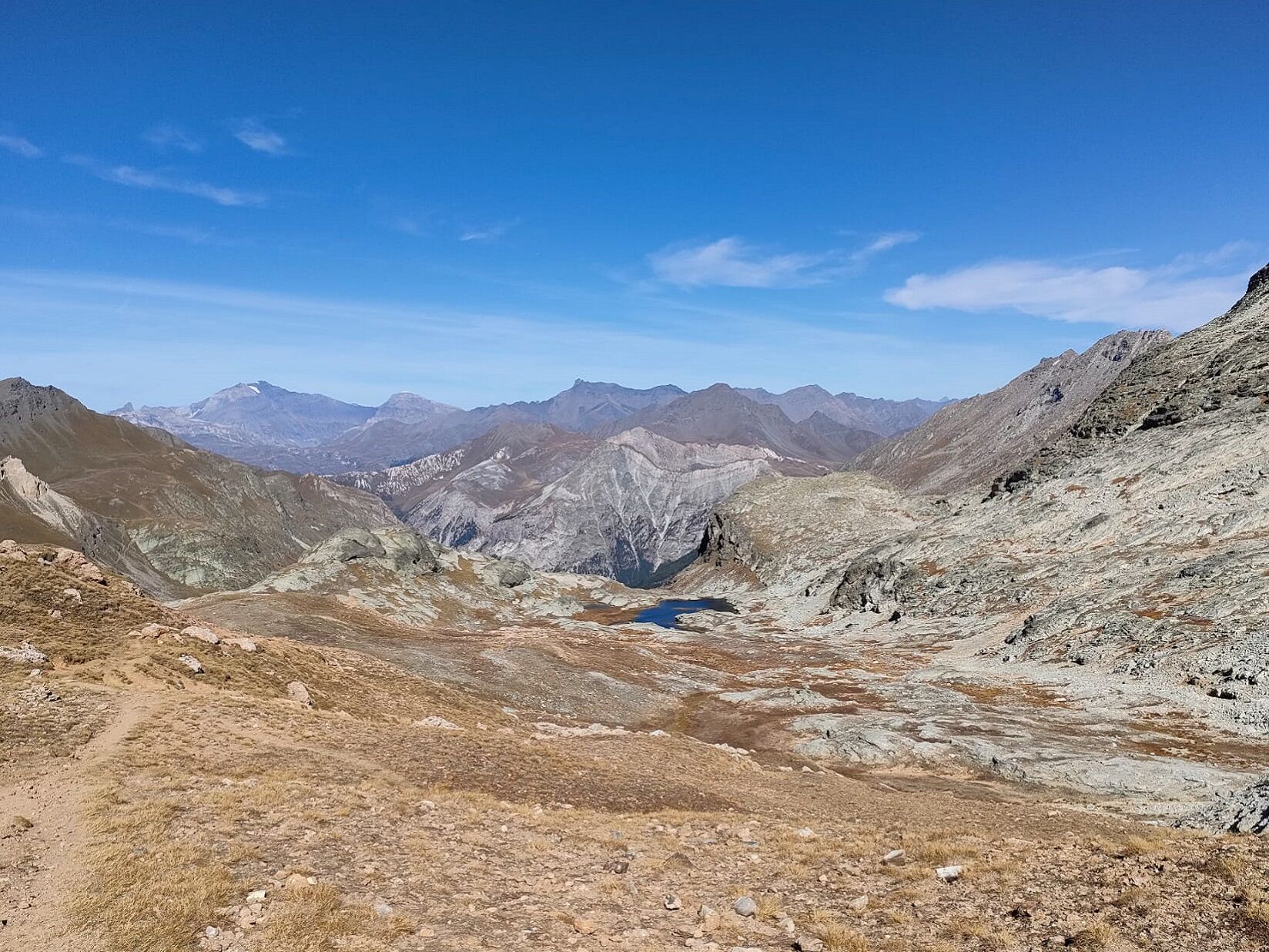
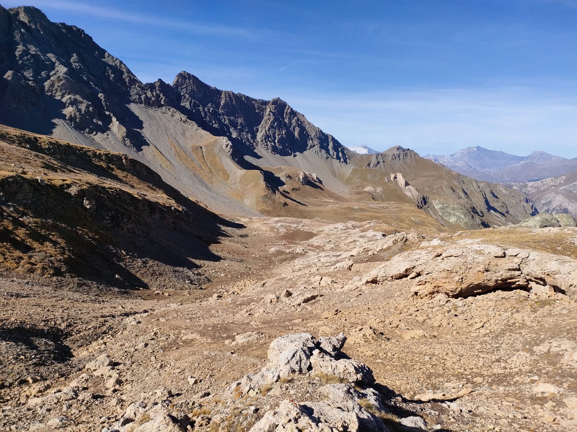
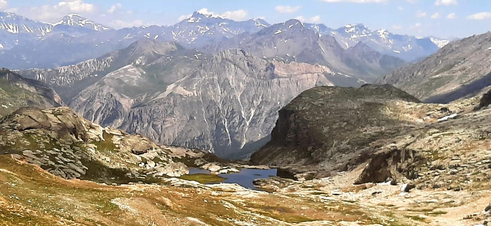

Reach the Rifugio Scarfiotti by car, located in the Valle di Rochemolles. From the refuge parking lot, cross the small bridge on the left and climb the steep path (be careful not to take the animal grazing trails on the left). Upon reaching the descriptive panel of the Geological Path, continue briefly to the left until the Grange d'Etiache. From here the path, marked with stakes, climbs sharply to the left and then turns right ascending the valley. Having reached the small stream, cross it and continue to the Colle d'Etiache.
Trekking boots
At the start of the route, be careful not to lose the path by being misled by the animal grazing trails on the left
By car:
- A32 motorway Torino - Bardonecchia, Bardonecchia exit
- State Road 24: Torino - Oulx and then State Road 335: Oulx - Bardonecchia
Once in Bardonecchia, take provincial road 235 which goes into the Valle di Rochemolles and follow it for 6 km until reaching the Rochemolles hamlet. Up to this point, the road is somewhat narrow but fully paved; afterward, it becomes unpaved. Continue along the switchback road for about 5 km until reaching the Rochemolles Dam. Proceed for another 4 km to reach Rifugio Scarfiotti.
There is a large parking lot at Rifugio Scarfiotti
T2
Bring water with you; there are no fountains along the route
Have a picnic at the Colle d'Etiache and enjoy the panorama of the surrounding valleys and mountains.
Extend the route by half an hour to reach the small lake below the Colle d'Etiache
Popularne wycieczki w okolicy
-
5,0
BARDONECCHIA Colle Sommeiller
średniMountainbike 25,4 km -
5,0
BARDONECCHIA Forte Jafferau Loop
ciężkiMountainbike 36,8 km -
4,5
BARDONECCHIA Walter Bonatti Path - Grange della Rho
średniWędrówka 6,06 km -
5,0
BARDONECCHIA Decauville
średniWędrówka 7,29 km -
5,0
BARDONECCHIA Col des Acles - Passo della Mulattiera
średniWędrówka 6,23 km -
BARDONECCHIA Lago Verde
światłoMountainbike 10,7 km -
BARDONECCHIA Monte Jafferau
ciężkiWędrówka 11,6 km -
BARDONECCHIA Rochemolles Dam - Scarfiotti Refuge
średniWędrówka 7,77 km -
4,0
BARDONECCHIA Sentiero dei Cosetti by Luciano Ferraris
światłoWędrówka 3,24 km -
OULX Borgata Seu (Gran Bosco Natural Park)
światłoRakieta do chodzenia po śniegu 5,93 km
Wędrówki i tropienie


Nie przegap ofert i inspiracji na następne wakacje
Twój adres e-mail została dodana do listy mailingowej.





