


VILLAR PEROSA Ascent to Pramartino
Poziom trudności: 1
With the ascent from the Val Chisone, the Tour de France even passed here, the Gap-Pinerolo stage won by Norwegian Boasson-Hagen. The Giro d’Italia passed through in 2009 and returned in 2016, tackling...
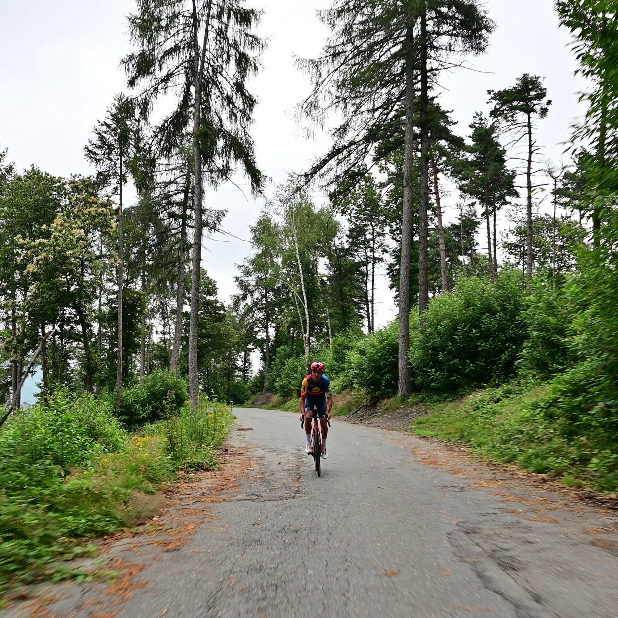
With the ascent from the Val Chisone, the Tour de France even passed here, the Gap-Pinerolo stage won by Norwegian Boasson-Hagen. The Giro d’Italia passed through in 2009 and returned in 2016, tackling the demanding climb from San Pietro Val Lemina, during one of the many finishes in Pinerolo.
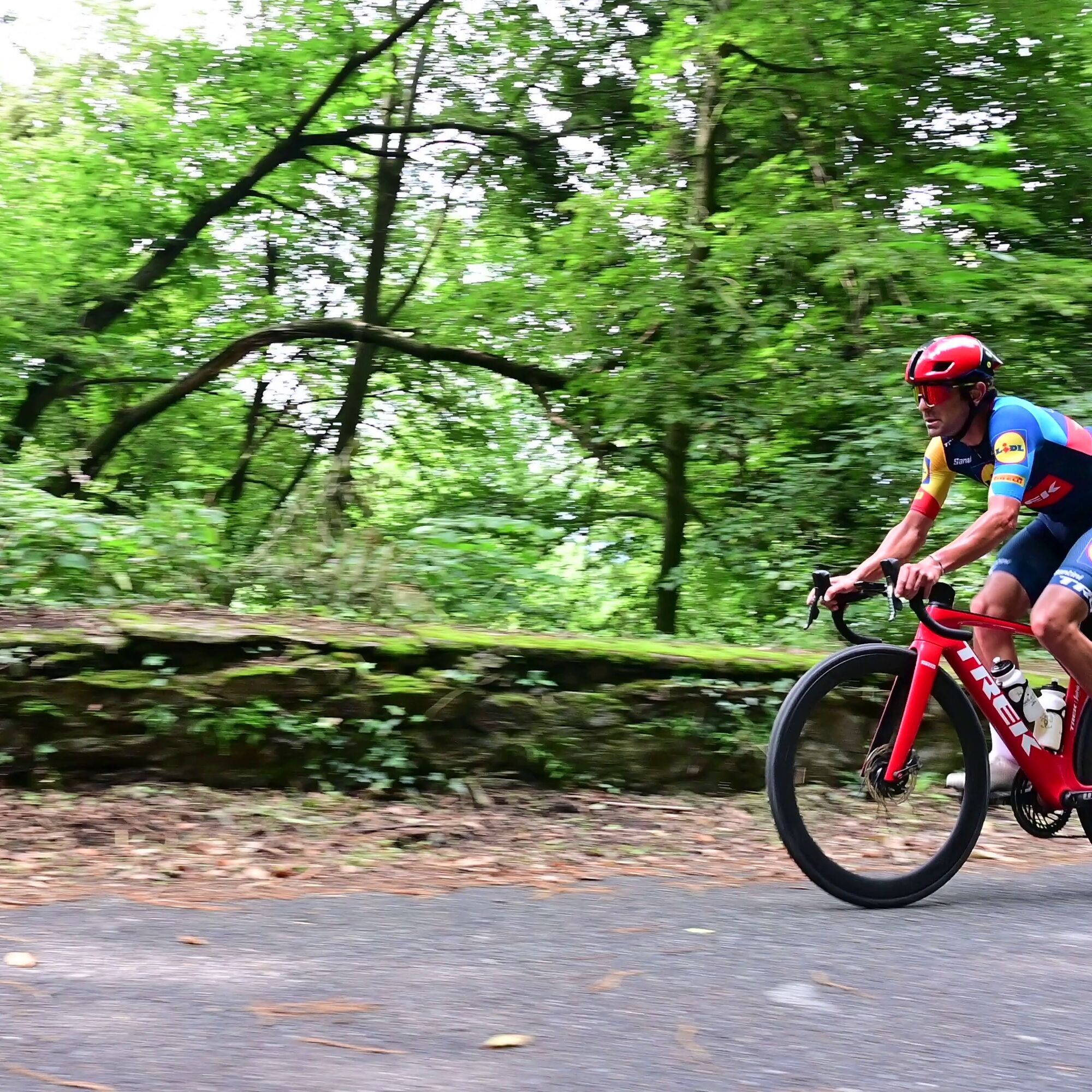
From Villar Perosa, gaining altitude gradually, you leave the valuable church of San Pietro in Vincoli on the right and head to the Pass. Overall, the average gradient of a steep climb ideal for training is 6.5%, with an elevation gain of 416 m and the steepest point between the fourth and fifth kilometre, where the gradient reaches 10-11%.
Thanks also to large shaded sections, satisfaction is guaranteed.

Adequate clothing and equipment are recommended.
Before undertaking any excursion, it is advised to check the weather forecasts or ask for information at the local Tourist Offices.
It is good practice not to undertake an excursion alone, always inform someone of your destination.
Do not litter but carry your waste with you, possibly collecting any left by others.
The indicated durations are approximate and may vary depending on weather conditions and your own abilities.
After reaching Pinerolo from Turin via the A55 motorway, continue straight along the SR23 to the town of Villar Perosa.
Train
www.trenitalia.it
Bus
www.torino.arriva.it
www.cavourese.it
There are numerous free parking spaces in the town center.
1
Average gradient 6.14 %
Maximum gradient 11 %
Popularne wycieczki w okolicy
-
5,0
Invincibles valley - Alpe Caugis
Wędrówka 15,3 km -
PINEROLO Route to Monte Muretto
średniWędrówka 2,12 km -
PRAROSTINO From Piani to Sonagliette and back - SLOWLY TOGETHER
światłoWędrówka 6,60 km -
TORRE PELLICE Naturalistic trail "The Jay"
światłoWędrówka 10,2 km -
LUSERNA S.G. Upslowtour - Angrogna Valley Ring 11
średniJazda na rowerze 35,0 km -
TORRE PELLICE The Shepherds' Way
światłoMountainbike 11,0 km -
4,0
The Giro dell'Orsiera G.O. Trail Stage 1: Molè - Rifugio Balma
średniWędrówka 4,52 km -
Le Strade dei Forti
ciężkiTrasa pielgrzymki 227,2 km -
TORRE PELLICE Hike to Bars d'la tajola (and Monte Castlus)
średniWędrówka 4,40 km -
4,0
ROURE by MTB at Prato del Colle
średniJazda na rowerze 7,82 km
Wędrówki i tropienie


Nie przegap ofert i inspiracji na następne wakacje
Twój adres e-mail została dodana do listy mailingowej.