


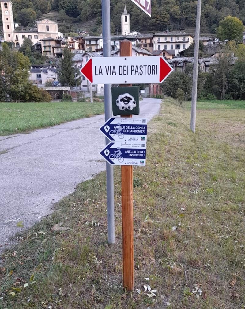
TORRE PELLICE The Shepherds' Way
The route was created in 2022 by the Unione Montana del Pinerolese and, besides being a nice itinerary for cycle tourists, was designed for multiple purposes.
On one hand, it allows the safe transhumance...
The route was created in 2022 by the Unione Montana del Pinerolese and, besides being a nice itinerary for cycle tourists, was designed for multiple purposes.
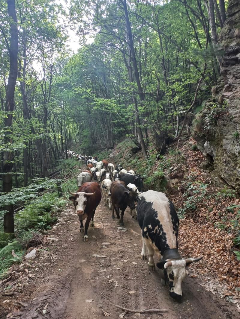
On one hand, it allows the safe transhumance of numerous herds and flocks between the municipalities of the upper and lower Val Pellice, without impacting car traffic along provincial road no. 161 that runs through the valley; hence the name "Shepherds' Way" and the dedicated signage.
Secondly, the path provides an alternative route in case the provincial road is interrupted due to unforeseen events or natural disasters, isolating the upper valley.
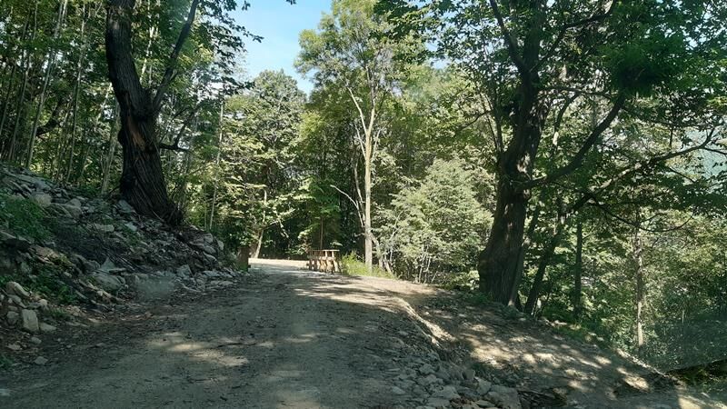
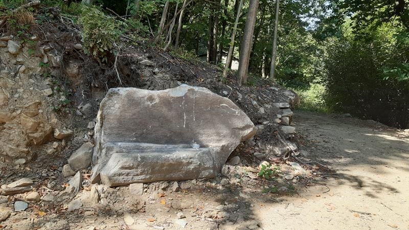
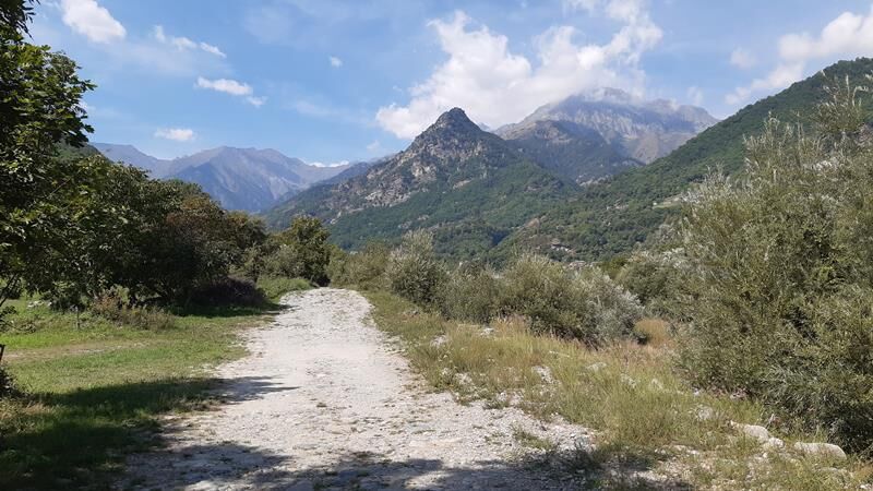
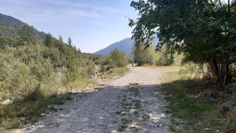
The track, with partly unpaved and partly paved surface, travels quiet secondary roads and forest trails, in some parts descending to the watercourse, in others immersing into the woods of the slope or the meadows of the valley bottom. The route connects many of the cycle touring loops of the "UPSLOWTOUR" project.

Tak
Appropriate clothing and equipment are recommended.
Before embarking on any excursion, it is recommended to check the weather forecasts or ask for information at the local Tourism Offices.
It is good practice not to start an excursion alone and always inform someone of your destination.
Do not litter but carry your waste with you, possibly collecting any left by others.
The indicated travel times are approximate and may vary depending on weather conditions and individual ability.
From Turin, take the A55 motorway to Pinerolo, then follow SP 161 of Val Pellice for about 15 km to Torre Pellice.
To get to Torre Pellice, after reaching Pinerolo by bus or train, you can take the Arriva company bus that goes directly to the town center.
Two large free parking lots are recommended near the starting point, in Piazza Cavour and Piazza Stazione.
It is also possible to start the route from the villages of Villar Pellice and Bobbio Pellice.
Cyclability: 100%
Popularne wycieczki w okolicy
-
Gran Tour del Monviso
średniWędrówka 57,1 km -
5,0
BOBBIO PELLICE Upslowtour - Ring 2 of the refuges
ciężkiJazda na rowerze 37,6 km -
5,0
Invincibles valley - Alpe Caugis
Wędrówka 15,3 km -
BRICHERASIO The Via della Pietra
światłoKolarstwo długodystansowe 11,5 km -
BOBBIO PELICE Trekking in the hamlets and forests around Bobbio
średniWędrówka 7,72 km -
5,0
BOBBIO PELLICE Climb to the Barbara Lowrie Refuge
ciężkiDroga rowerowa 9,19 km -
TORRE PELLICE Naturalistic trail "The Jay"
światłoWędrówka 10,2 km -
PRAROSTINO From Piani to Sonagliette and back - SLOWLY TOGETHER
światłoWędrówka 6,60 km -
VILLAR PELLICE Inverso path
światłoWędrówka 5,62 km -
LUSERNA S.G. Upslowtour - Angrogna Valley Ring 11
średniJazda na rowerze 35,0 km
Wędrówki i tropienie


Nie przegap ofert i inspiracji na następne wakacje
Twój adres e-mail została dodana do listy mailingowej.