






LUSERNA S.G. Upslowtour - Angrogna Valley Ring 11
Poziom trudności: 4
Starting from the valley floor, the loop climbs to Angrogna (760 m), where there are several monuments and museums related to Waldensian history (Ciabàs, Serre, Odin, Chanforan, Gheisa d'la Tana). A variant,...
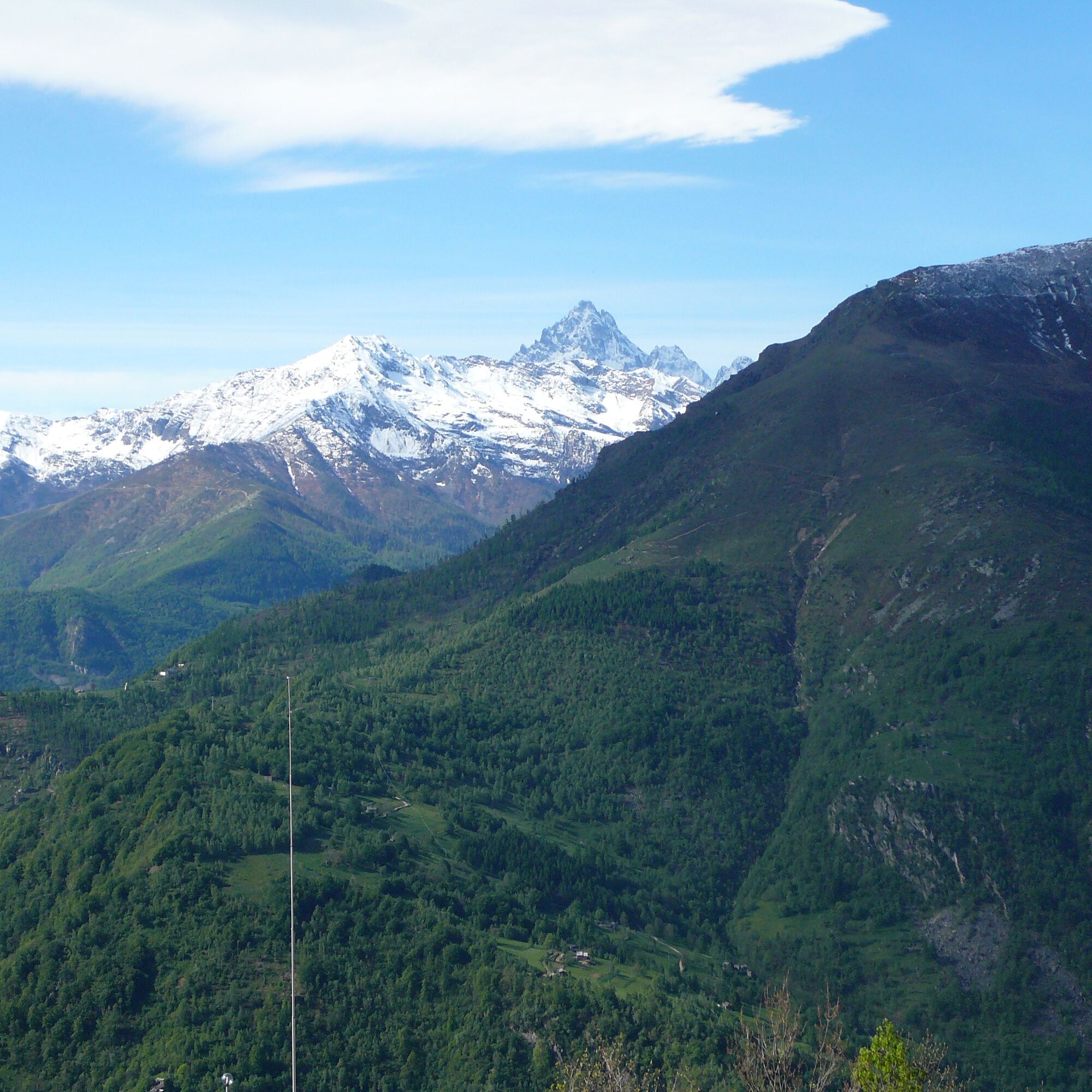
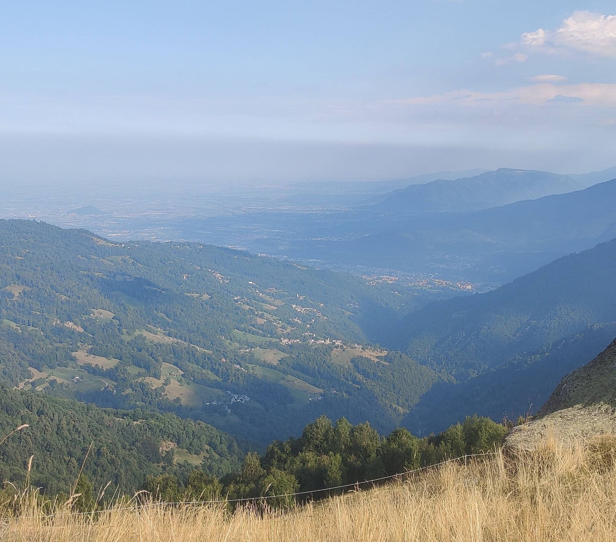
Starting from the valley floor, the loop climbs to Angrogna (760 m), where there are several monuments and museums related to Waldensian history (Ciabàs, Serre, Odin, Chanforan, Gheisa d'la Tana). A variant, doable in any season of the year, makes it possible to significantly shorten the loop, passing through the Arvura locality and remaining at low altitude. Instead, the main trail climbs to the foot of the Vaccera Pass (1,465 m), where there is a refuge with a free e-bike charging point. It then continues to Alpe Criuliro (1,600 m), from which there are splendid views of the Pellice Valley and the upper part of the Infernet valley. The latter can be reached by a long and challenging branch-off, which reaches Alpe della Sella Vecchia (2,050 m).
The return is made by descending to Pradeltorno (1,000 m), a locality of great historical and cultural interest, and then following the valley floor road, which runs alongside the Angrogna stream, until reaching Torre Pellice.

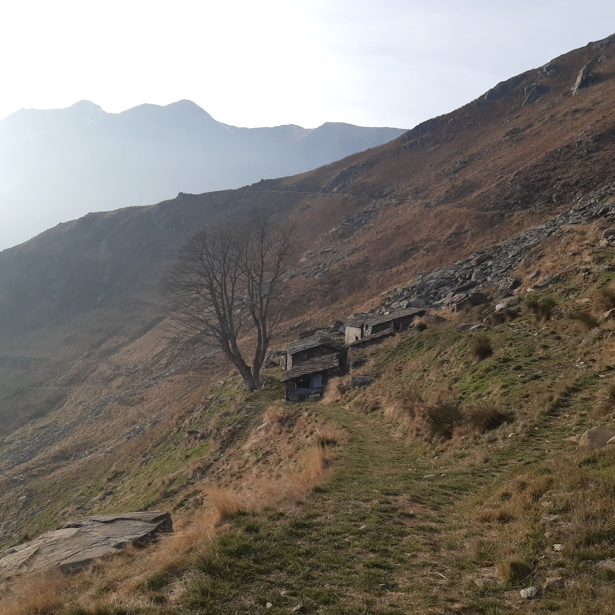
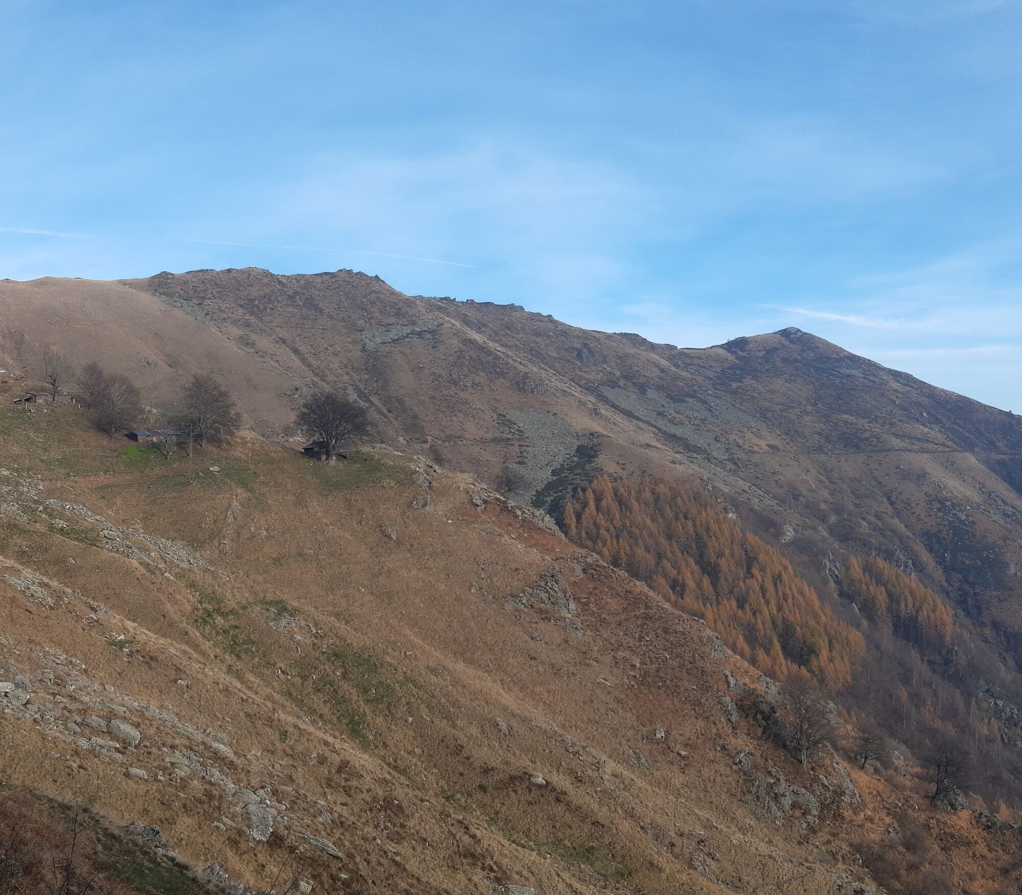
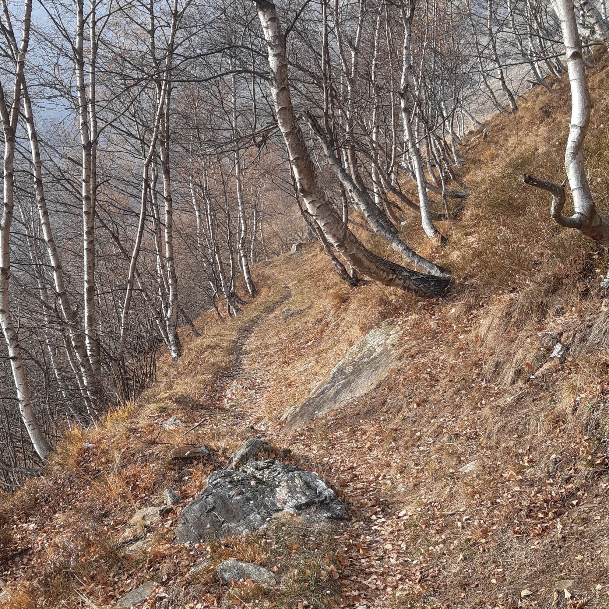
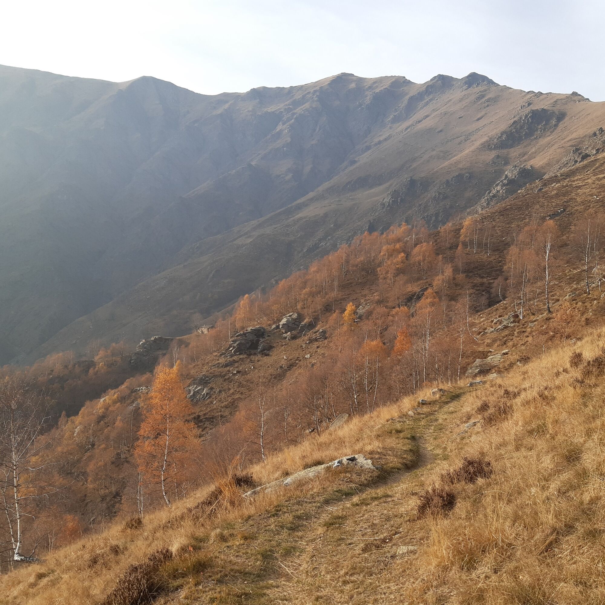
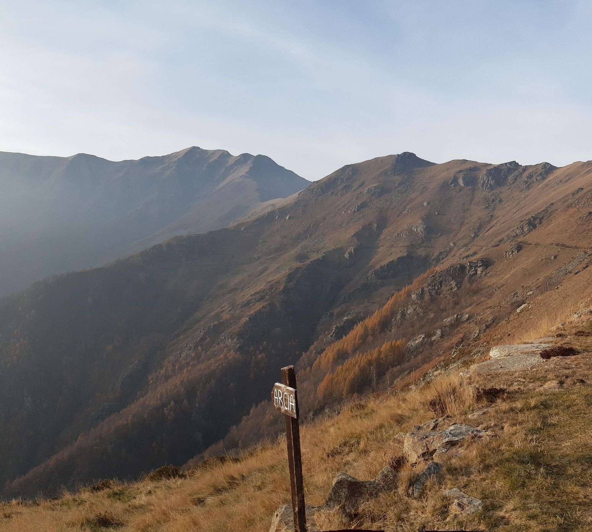
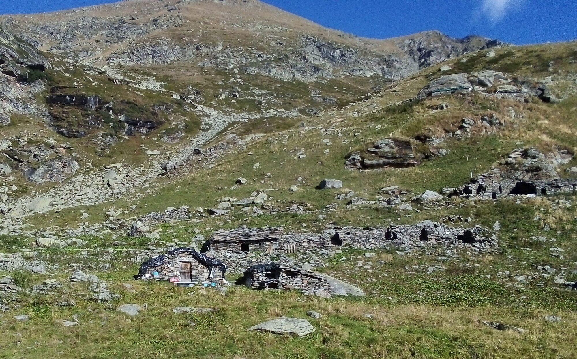

From the parking lot on Viale De Amicis we head to the nearby traffic circle and following the signs for Angrogna, we take Via Masel, the SP163 provincial road uphill to the locality of Stallè where we meet the junction with the Panoramica road and turn left, heading towards Angrogna.
We pass through the hamlets Ciabàs (where there is one of the oldest temples in the valley dating back to 1555), Giovo, Bruere, Raggio, Bonnetta, Besson and reach San Lorenzo (786 m), the main hamlet once known as Ruà de la Guièza and today home to the town hall, schools, post office, temple, church, a store and a bar. The main square (Piazza Roma) is also home to the market wing where we find the Péira dè la reizoùn (the "Stone of Reason"), a large stone on which, the story goes, petty wrongdoers in the area were brought back to reason. A little further on, near the Luserna stone fountain, is the Pèira de i debi (the "Stone of Debts"), an ancient pillory for insolvent debtors.
We continue on the level road toward the hamlet of Serre through the hamlets of Roccia, Odin, and at the junction with the Vengie (lou Vengìe) stream on the right, a characteristic rock can be seen overlooking the road: it is the "Rock of the Fantina" (Roha de la Fantina) or "Roccia Filera" (Rocha Filéra), a place where, according to a legend, a fairy used to come to spin, and the young man who managed to touch its spindle would be happy for life. In the hamlet of Serre (847 m), one of the oldest, in addition to the Waldensian Temple, with its bell tower, are the Foyer, a lodging community housed in the Waldensian Presbytery, and the old Beckwith School, now home to the Women's Museum. From here it is possible to take the short variant 11b "Arvura."
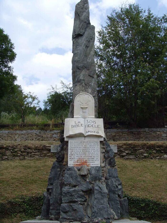
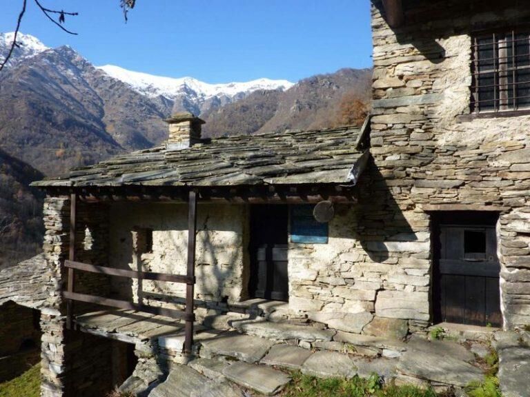
From the hamlet, following the Sentiero storico signs, we follow an itinerary that touches the locality Chanforàn, where a stone stele commemorates the 1532 synod by which the Waldensians decided to adhere to the Reformation and have the Olivetan Bible printed in French. A little further on we find the old Beckwith school in the Odin (Udin) hamlet, maintained as it once was, with its desks, stove and desk: in fact, today it is intended as a museum on the activities of this type of institution between 1858 and 1920.
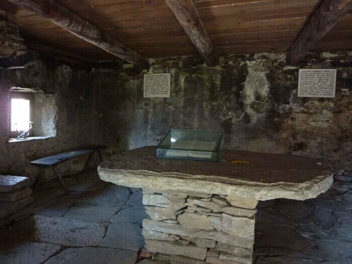
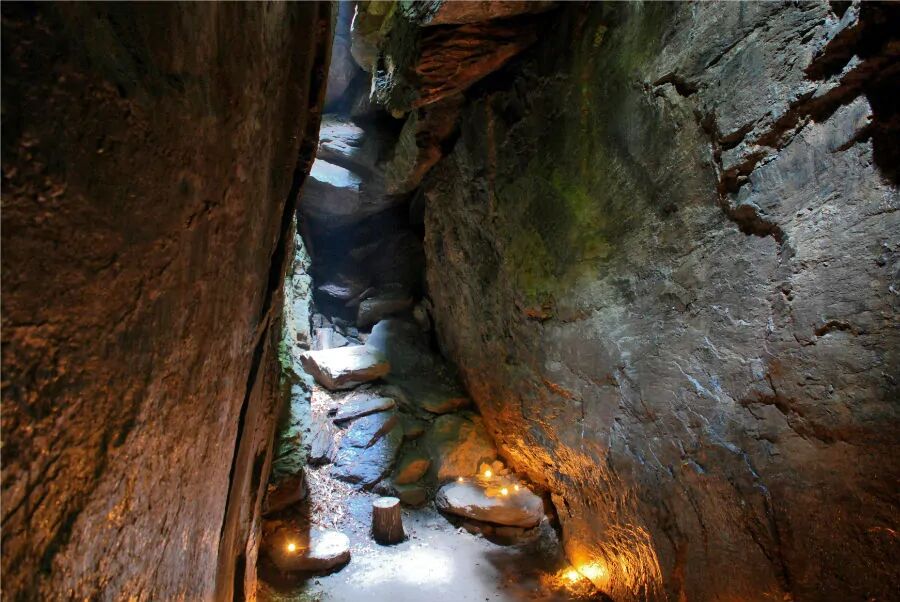
Continuing on level ground along a dirt road, which then becomes a path amidst woods of chestnut and birch beeches, one reaches the Ghieisa or Gueiza d'la Tana ("Church of the Cave"), a curious rock ravine that, according to tradition, served as a secret place of worship for the Waldensians during the years of hiding. Following the mule track we reach the hamlet of Carlevà, the end point of the historic trail, where the mule track becomes paved again and we take the uphill road coming from the chief town to reach the locality of Prassuit, where on the side of the road, we notice another of the many Beckwith schools (which houses the Museum of Waldensian Youth Unions) and shortly afterwards we arrive at Vernè. Here, in the interwar period, the Bertin boarding house hosted Princess Mafalda of Savoy.
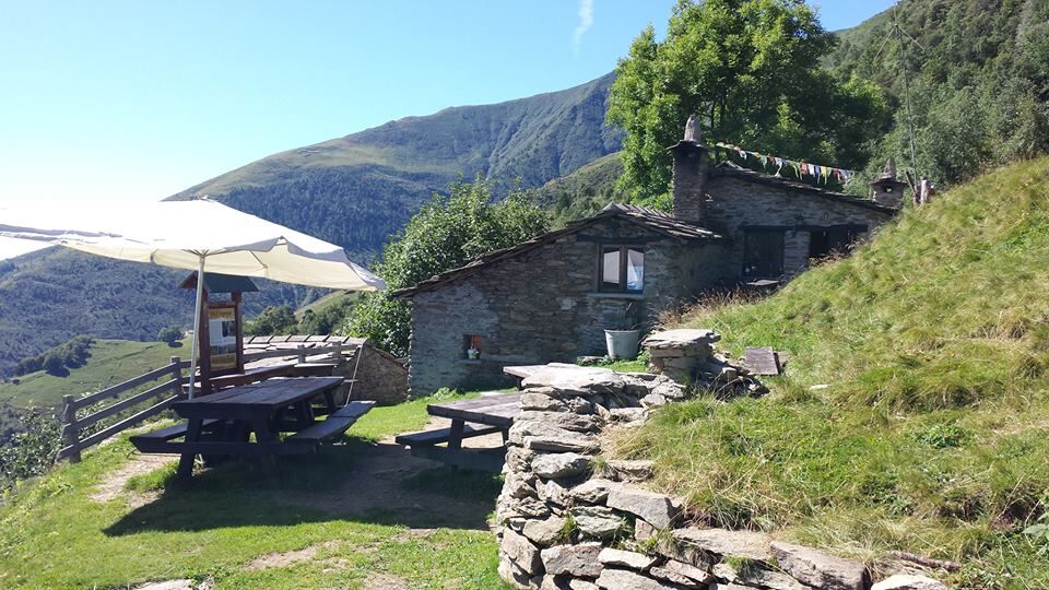
From the Vernè, past the localities of Arpanòt, Sterpà, Bonettoni and Revellera, near Porte d'Angrogna (912 m) you arrive at the junction with the road to Colle della Vaccera. Eight kilometers of asphalt road (via Nuova) uphill, leading from Porte di Angrogna to Colle della Vaccera (Vacìra), passing through the hamlets Sea, Ciava inferiore and superiore, Isoardi, Barbotta, La Maria, Sabbiona, Bovile, Casse, Saret, and Cottarone. The Colle della Vaccera (1,465 m) is a pass that connects the municipality of Angrogna with that of Pramollo in Val Chisone: it lies between Mount Servin (1,756 m) and Mount Castelletto (1,512 m). Near the pass are a mountain hut (equipped with a free e-bike charging point and cyclototem for bike maintenance) and an agritourism.
The route continues, from the last hairpin bend of the paved road before the pass, along the dirt track in the direction of Criulira (Criuliro). Immediately after the houses of Cottarone, on the left, we find a distinctive rock in the shape of a face that seems to speak, called "Prophet's Rock." The trail, after a short uphill stretch, continues halfway up a flat slope, overlooked by the characteristic "Peiroun Rock." Worth a detour is the road on the left that reaches the Cà d'la Pais ("House of Peace") in the locality of Bagnou, a place where the G.L. partisans of the Bagnou group took refuge after September 8, 1943. The house was destroyed in January '44 during a roundup and rebuilt by the Waldensian Table in 1986 for use as a guesthouse and vacation home. Nearby is a monument commemorating Jacopo Lombardini, a Protestant pastor who died in Mathausen on April 24, 1945.
When you reach the Criulira pasture (1,600 m), take a path that descends to the left: it is advisable, if inexperienced, to get off the bike for about 300 meters until the path becomes a mule track again, which then becomes a dirt road near the houses of Chiaulira (1,510 m). You descend following the road with large switchbacks to Tournas (1,200 m) passing the hamlets of Ciaudet, Saben, Anchioccia and Chiot.
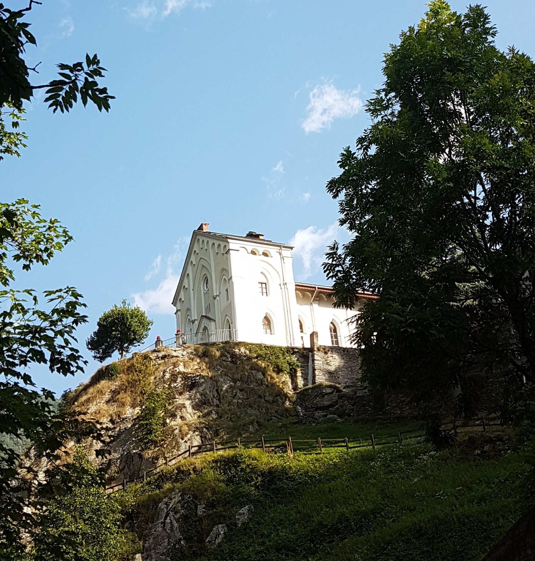
From Tournas we cross the Angrogna stream and take the agro-silvo-pastoral road that climbs to the Sella Vecchia pasture (branch 11a): we instead descend toward Pradeltorno and arrive at the Barmafredda (Barma Freida) bridge, where we find an equipped area with a fountain. A little further on we reach Pradeltorno (1,000 m), a place of great historical and cultural interest: a symbol of freedom and religious independence and a fundamental point of reference for the entire Waldensian world, for about two centuries Pradeltorno was an impregnable stronghold. On a rocky outcrop overlooking the village, echoes the white building of the Waldensian temple, which is absolutely worth a visit, as is the "Collegio dei Barba" (Coulège d'i Barba), an ancient building upstream from the temple at the northern end of the village, used in past centuries as a school by medieval Waldensian preachers (the "barba") who from here, after studying the Scriptures (the Gospels, some books of the Old Testament and part of the Epistles) and learning a trade, set out on their itinerant preaching work, periodically visiting the nuclei of co-religionists at that time scattered throughout Europe. We enter the small village, turning right downhill 50 meters after the intersection with the road leading to the temple and college, where we find the Beckwith school, the Waldensian guesthouse "La Rocciaglia" and the Catholic church.
Once through the village, instead of taking the big road we take the mule track on the right that cuts a couple of hairpin bends and comes out under an apartment house before the lower Eyssarts. We follow the valley floor road passing under the Lausa rock walls and shortly arrive at the Ponte Barfè locality (960 m). We continue the descent skirting the Angrogna torrent, where some characteristic Tumpi (fluvial whirlpools with waterfall) are formed, named dell'Orsa, di Sacchet and di Gournie. You pass below the hamlet of Rocciaglia, characterized by a formidable rock barrier that was of major historical importance in the past: in 1484 and 1561, in particular, it represented the last Waldensian defensive bulwark against the Savoy troops.
We soon arrive at Chiot dl'Aiga (738 m) near which, downstream from the present concrete bridge, an ancient and striking stone bridge from the late medieval period is visible. Until the early 1950s, the locality was home to a watermill, the large wooden wheel of which is still visible. Still descending along the valley floor road, we notice on the left the junction for the road going up to the Bruere, where we can observe the intake and the first part of the "Bealera Peyrota" an ancient canal that takes water from the Angrogna stream to bring it to the fields and mills of the San Giovanni hill to Bricherasio. We soon reach the Giambone bridge and Piazza Pietro Micca in Torre Pellice: at the traffic lights we turn left and following first the provincial road, then the cycle/pedestrian path that flanks it, we soon return to our starting point.
Appropriate clothing and equipment are recommended. A free e-bike charging point and a cyclototem with tools for bike maintenance are located at the Vaccera Shelter.
On the section between Alpe Criuliro and Chiaulira it is recommended, if inexperienced, to get off the bike for about 300 meters until the trail becomes a mule track again.
From Turin, simply take the A55 highway to Pinerolo, then follow the SP 161 Val Pellice road for about 14 km to Luserna San Giovanni. Continue in the direction of Torre Pellice to Pralafera, where the starting point of the trail is located.
To get to Luserna San Giovanni, after reaching Pinerolo by bus or train, it is possible to take the Arriva company bus that goes to the center of town and then on to Torre Pellice: the intermediate stop (Pralafera) is practically at the starting point of the route.
A large free asphalt parking lot is located at the trailhead.
4
Cyclability: 99%.
Recommended direction of travel: ANTI-CLOCKWISE
Technical difficulty MC/BC
Popularne wycieczki w okolicy
- 5,0
BOBBIO PELLICE Upslowtour - Ring 2 of the refuges
ciężkiJazda na rowerze 37,6 km - 5,0
Invincibles valley - Alpe Caugis
Wędrówka 15,3 km BRICHERASIO The Via della Pietra
światłoKolarstwo długodystansowe 11,5 kmPINEROLO Route to Monte Muretto
średniWędrówka 2,12 kmBOBBIO PELICE Trekking in the hamlets and forests around Bobbio
średniWędrówka 7,72 km- 5,0
BOBBIO PELLICE Climb to the Barbara Lowrie Refuge
ciężkiDroga rowerowa 9,19 km The Fort Roads - stage 11 from Massello to Prali
ciężkiTrasa pielgrzymki 13,7 kmPRAROSTINO From Piani to Sonagliette and back - SLOWLY TOGETHER
światłoWędrówka 6,60 kmTORRE PELLICE The Shepherds' Way
światłoMountainbike 11,0 kmTORRE PELLICE Naturalistic trail "The Jay"
światłoWędrówka 10,2 km

Wędrówki i tropienie


Nie przegap ofert i inspiracji na następne wakacje
Twój adres e-mail została dodana do listy mailingowej.





