


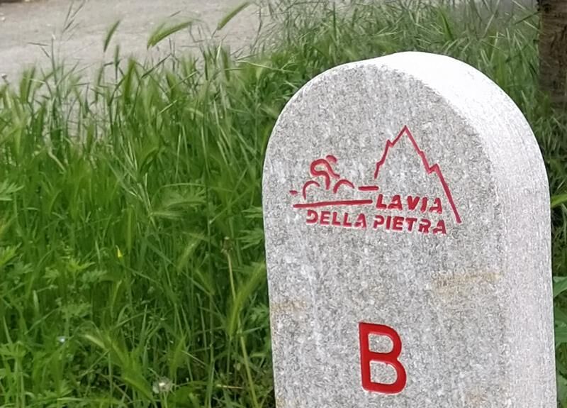
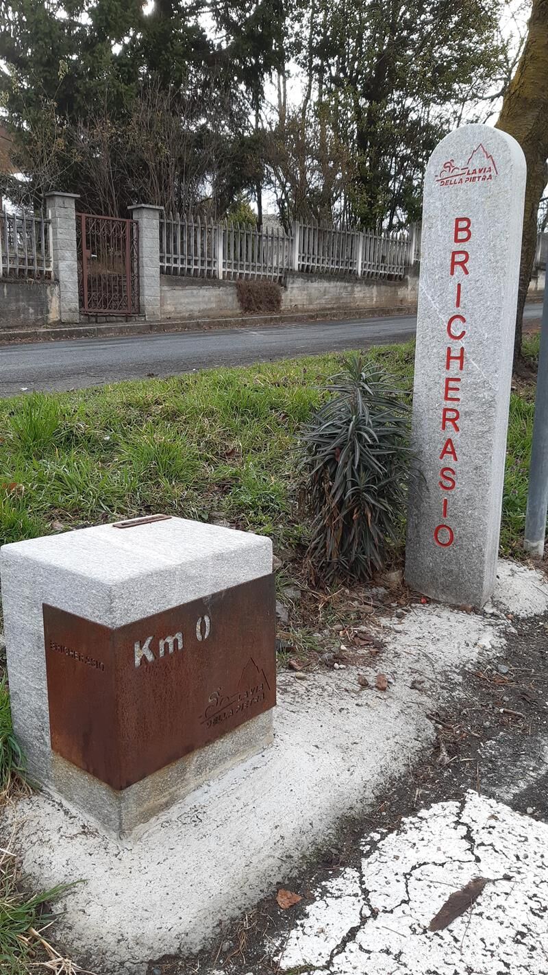
BRICHERASIO The Via della Pietra
Poziom trudności: 1
Set in the greenery of the countryside and built on the track of a former railway, now out of use for several decades, the Via della Pietra stretches from the municipality of Bricherasio to the municipality...
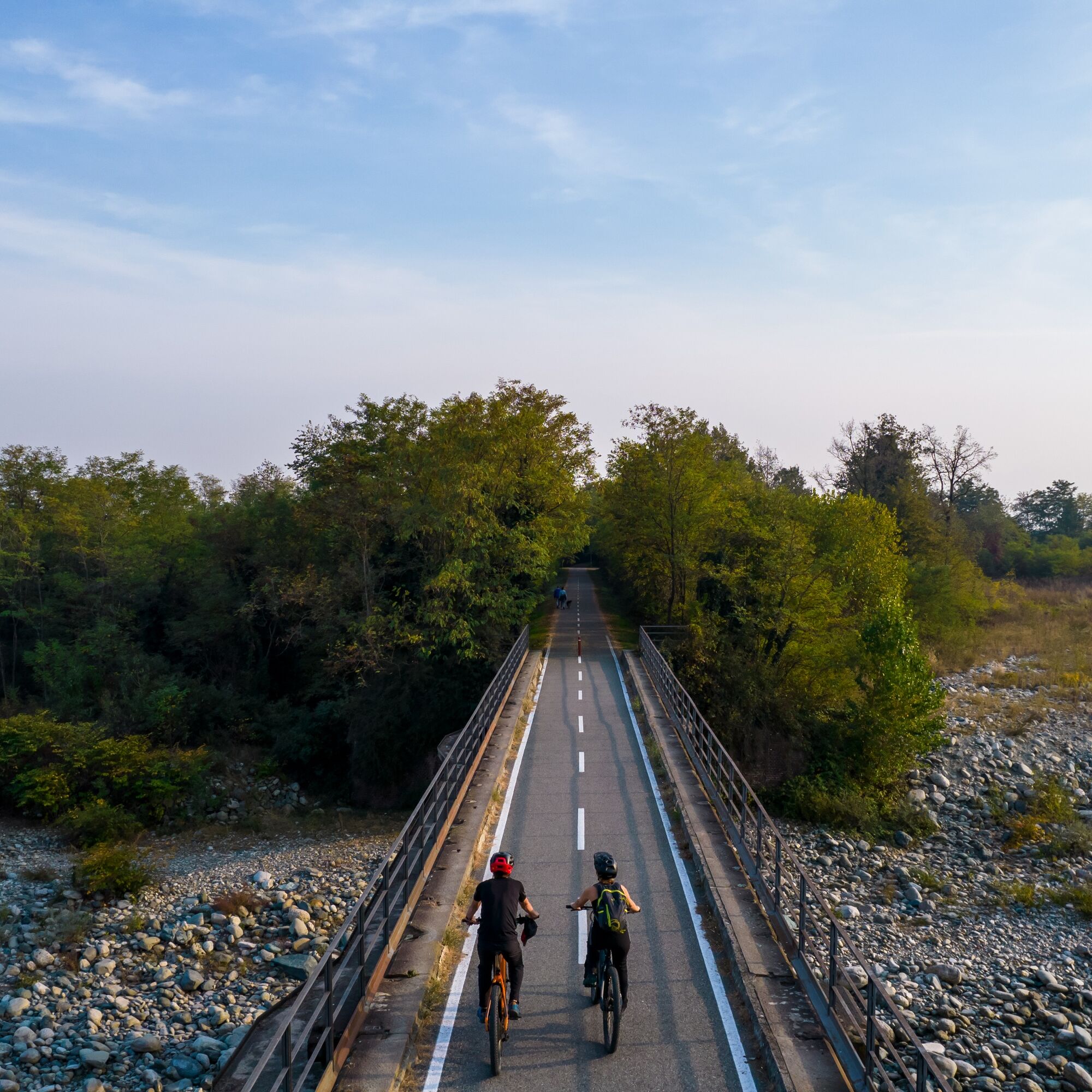
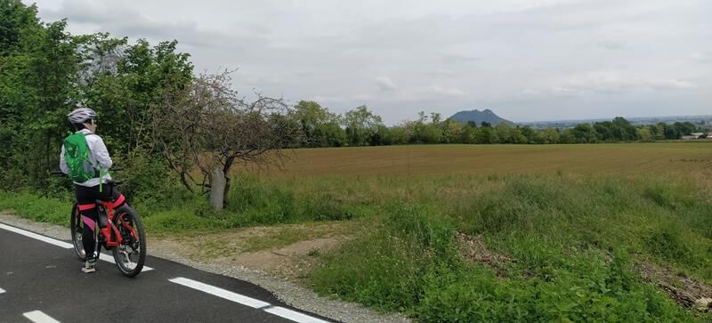
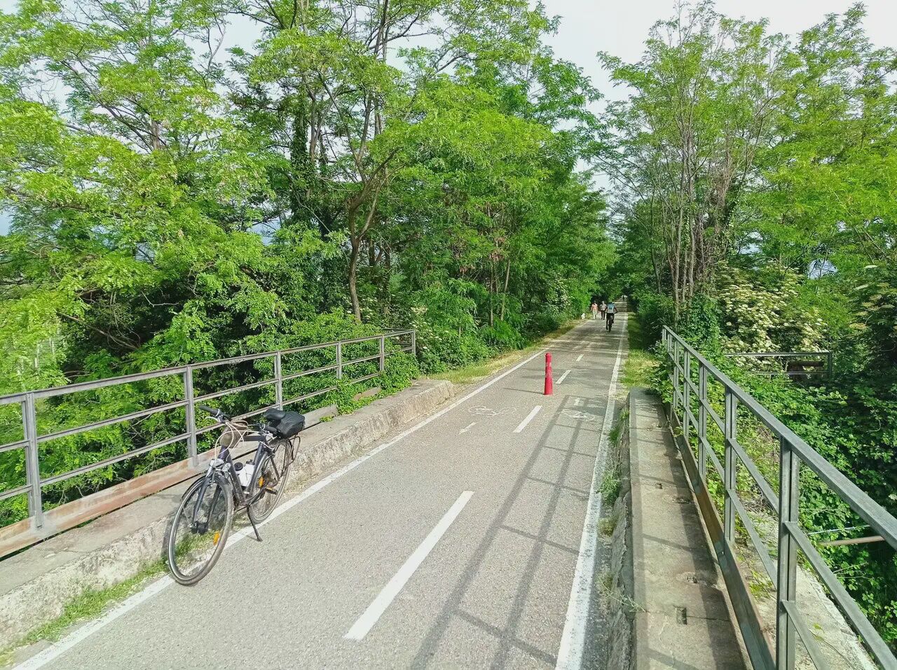
Set in the greenery of the countryside and built on the track of a former railway, now out of use for several decades, the Via della Pietra stretches from the municipality of Bricherasio to the municipality of Barge and will soon reach Saluzzo. The Bricherasio-Barge section is about 11 km long and is suitable for everyone!
The cycle path crosses the following municipalities: Bricherasio (TO), Campiglione Fenile (TO), Bibiana (TO), Bagnolo Piemonte (CN), and Barge (CN).
The route intersects with the Upslowtour 12 Valley Bottom Loop.
The Via della Pietra has been certified "accessible" by the B-FREE Association

Tak
There are several public parking lots in the center of Bricherasio.
1
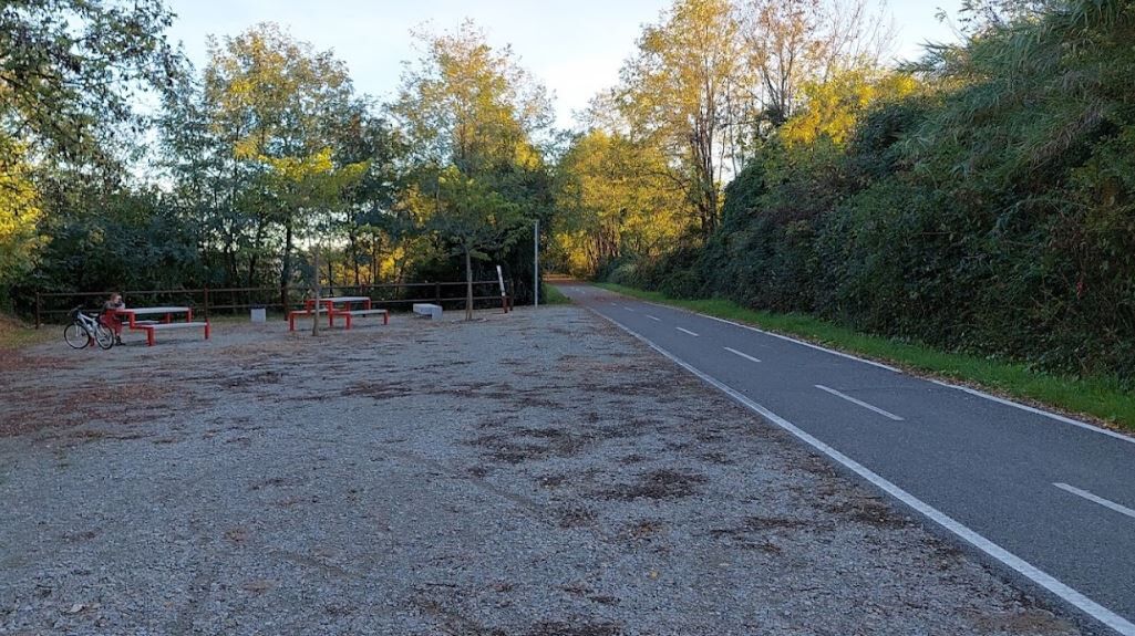
Along the cycle path
Popularne wycieczki w okolicy
-
TORRE PELLICE Naturalistic trail "The Jay"
światłoWędrówka 10,2 km -
PRAROSTINO From Piani to Sonagliette and back - SLOWLY TOGETHER
światłoWędrówka 6,60 km -
TORRE PELLICE The Shepherds' Way
światłoMountainbike 11,0 km -
VILLAR PELLICE Inverso path
światłoWędrówka 5,62 km -
LUSERNA S.G. Upslowtour - Angrogna Valley Ring 11
średniJazda na rowerze 35,0 km -
TORRE PELLICE Hike to Bars d'la tajola (and Monte Castlus)
średniWędrówka 4,40 km -
The Lioussa Valley - Chiot la Sella
światłoWędrówka 14,0 km -
LUSERNA S.G. Upslowtour - Luserna Stone Loop 9
średniJazda na rowerze 38,1 km -
TORRE PELLICE Excursion to Colle della Sea
średniWędrówka 7,83 km -
Angrogna Valley Loop
Wędrówka 38,3 km
Wędrówki i tropienie


Nie przegap ofert i inspiracji na następne wakacje
Twój adres e-mail została dodana do listy mailingowej.