







LUSERNA S.G. Hike up to Colle Vaccera from Pralafera
Poziom trudności: 2
Connecting Val Pellice and Val Chisone, the Vaccera Pass can be reached from the side that begins in Luserna San Giovanni, along a route set within the unique context of Val d’Angrogna, a region steeped...
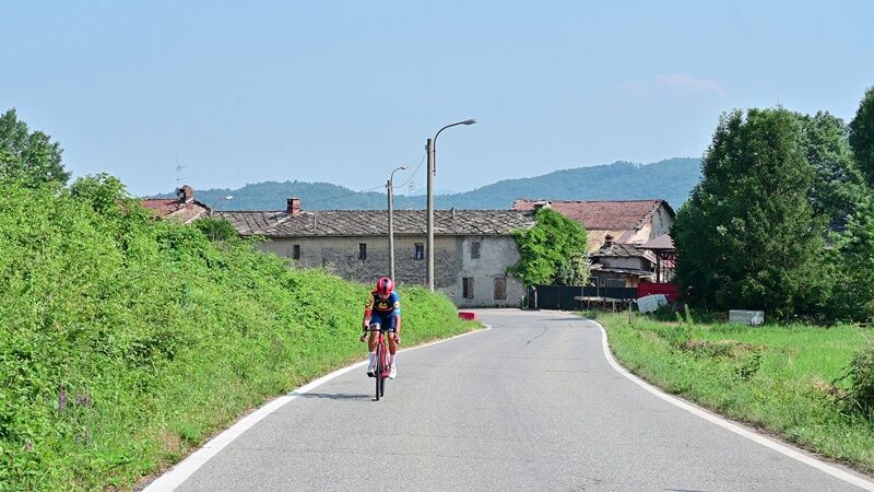
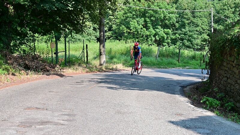
This climb, often featuring wooded and shaded sections, has an average gradient of 6.7%. The most challenging part of the climb? A 500-meter stretch at 13% after 4.5 km, just before the center of Angrogna, though double-digit gradients will occasionally appear under cyclists’ wheels, as if to remind them that the average gradient of the entire—and rather long—route can be deceptive.
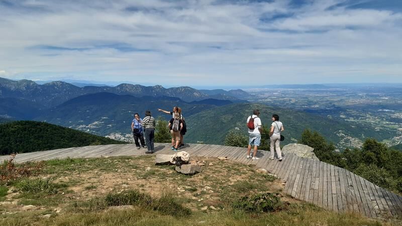
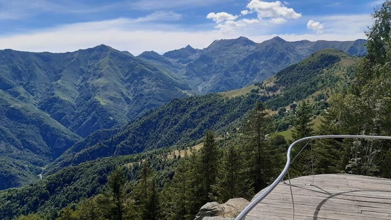
After the turnoff for Sonagliette, you’ll encounter another steep 13% section, while between the 7th and 9th km, after turning right, there are stretches where you can catch your breath. The gradient then rises above 10% again, albeit for only 200 meters at 3.3 km from the pass, where cyclists are welcomed by lodging facilities and a spacious area offering a 360° panoramic view.

Appropriate clothing and equipment are recommended.
It is good practice not to hike alone; always let someone know your destination.
Do not litter; take your trash with you and, if possible, pick up any trash left by others.
The travel times listed are approximate and may vary depending on weather conditions and your own abilities.
From Turin, simply take the A55 highway to Pinerolo, then follow Provincial Road 161 through the Val Pellice for about 14 km to Luserna San Giovanni. Continuing toward Torre Pellice, you’ll reach the village of Pralafera, where the trail begins.
To get to Luserna San Giovanni, after reaching Pinerolo by bus or train, you can take the Arriva bus, which goes all the way to the town center and then continues on to Torre Pellice: the stop in between (Pralafera) is practically right at the starting point of the route.
There is a large, free, paved parking lot at the trailhead.
2
Average gradient 6.76%
Maximum gradient 13.7%
At Colle Vaccera, there are two hiking shelters (open year-round) and a farmstay
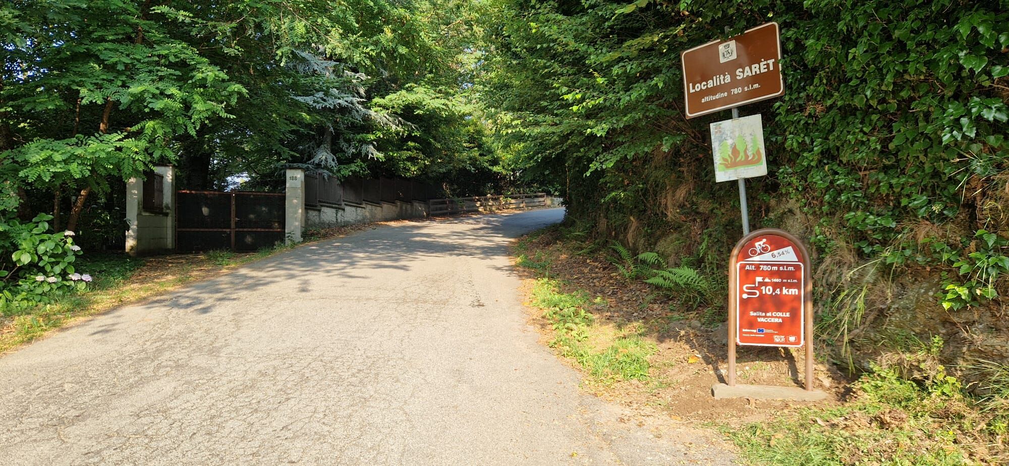
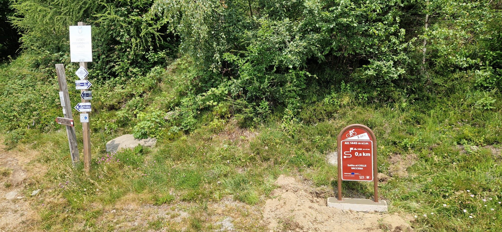
At the start and end of the trail, as well as along the route, there are kilometer markers indicating the trail name, distance, and elevation gain of the climb.
Popularne wycieczki w okolicy
-
5,0
Invincibles valley - Alpe Caugis
Wędrówka 15,3 km -
5,0
BOBBIO PELLICE: Hike to the Barbara Lowrie Mountain Hut
ciężkiDroga rowerowa 9,19 km -
BRICHERASIO The Via della Pietra
światłoKolarstwo długodystansowe 11,5 km -
PINEROLO Route to Monte Muretto
średniWędrówka 2,12 km -
BOBBIO PELICE Trekking in the hamlets and forests around Bobbio
średniWędrówka 7,72 km -
TORRE PELLICE The Shepherds' Way
światłoMountainbike 11,0 km -
TORRE PELLICE Naturalistic trail "The Jay"
światłoWędrówka 10,2 km -
PRAROSTINO From Piani to Sonagliette and back - SLOWLY TOGETHER
światłoWędrówka 6,60 km -
VILLAR PELLICE Inverso path
światłoWędrówka 5,62 km -
LUSERNA S.G. Upslowtour - Angrogna Valley Ring 11
średniJazda na rowerze 35,0 km
Wędrówki i tropienie


Nie przegap ofert i inspiracji na następne wakacje
Twój adres e-mail została dodana do listy mailingowej.





