







ROURE The Bourcet Valley

Poziom trudności: 1
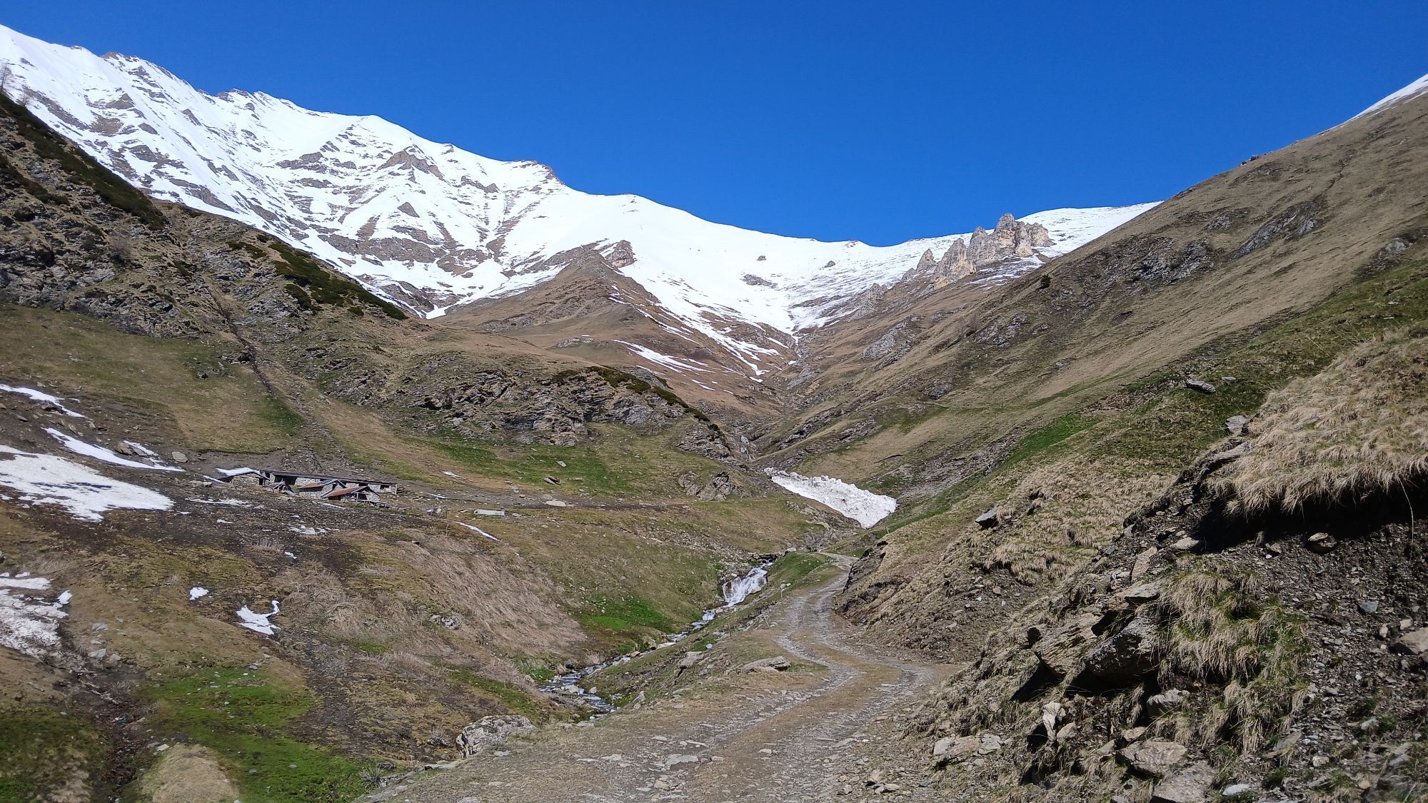
From Villaretto (Roure) follow the main road downhill until the junction with the sign for La Cleo-Bourcet. After crossing the Chisone stream, the road begins to climb with numerous hairpin bends through...
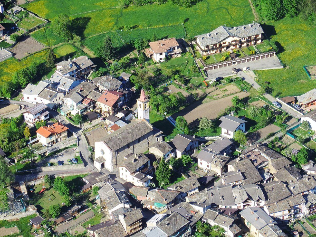
From Villaretto (Roure) follow the main road downhill until the junction with the sign for La Cleo-Bourcet. After crossing the Chisone stream, the road begins to climb with numerous hairpin bends through a cool broadleaf forest. After passing the houses of La Cleo, you reach a chapel located on a spur at 1,500 m altitude, from where you can enjoy a splendid panorama of the middle Val Chisone; here you can rest and replenish water from the fountain.
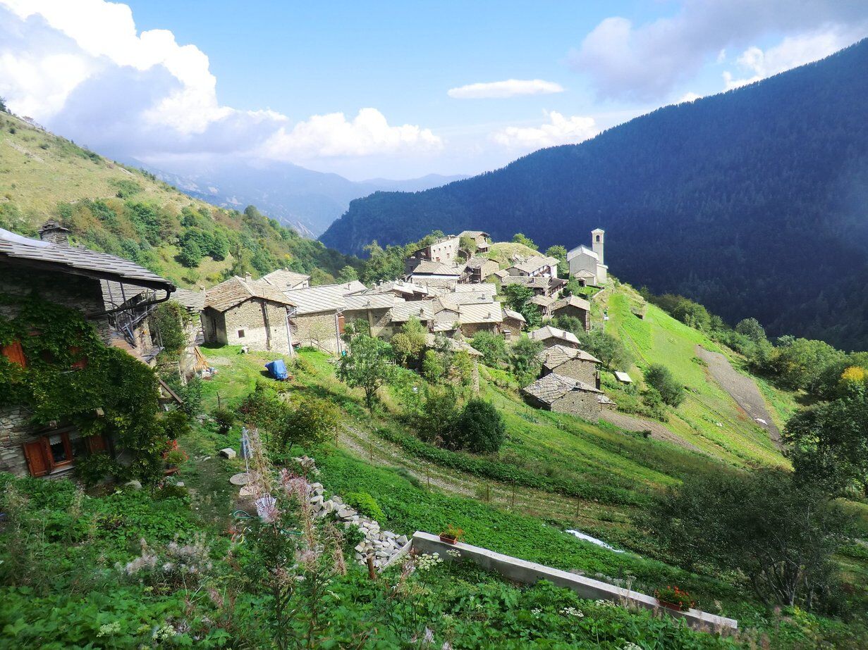
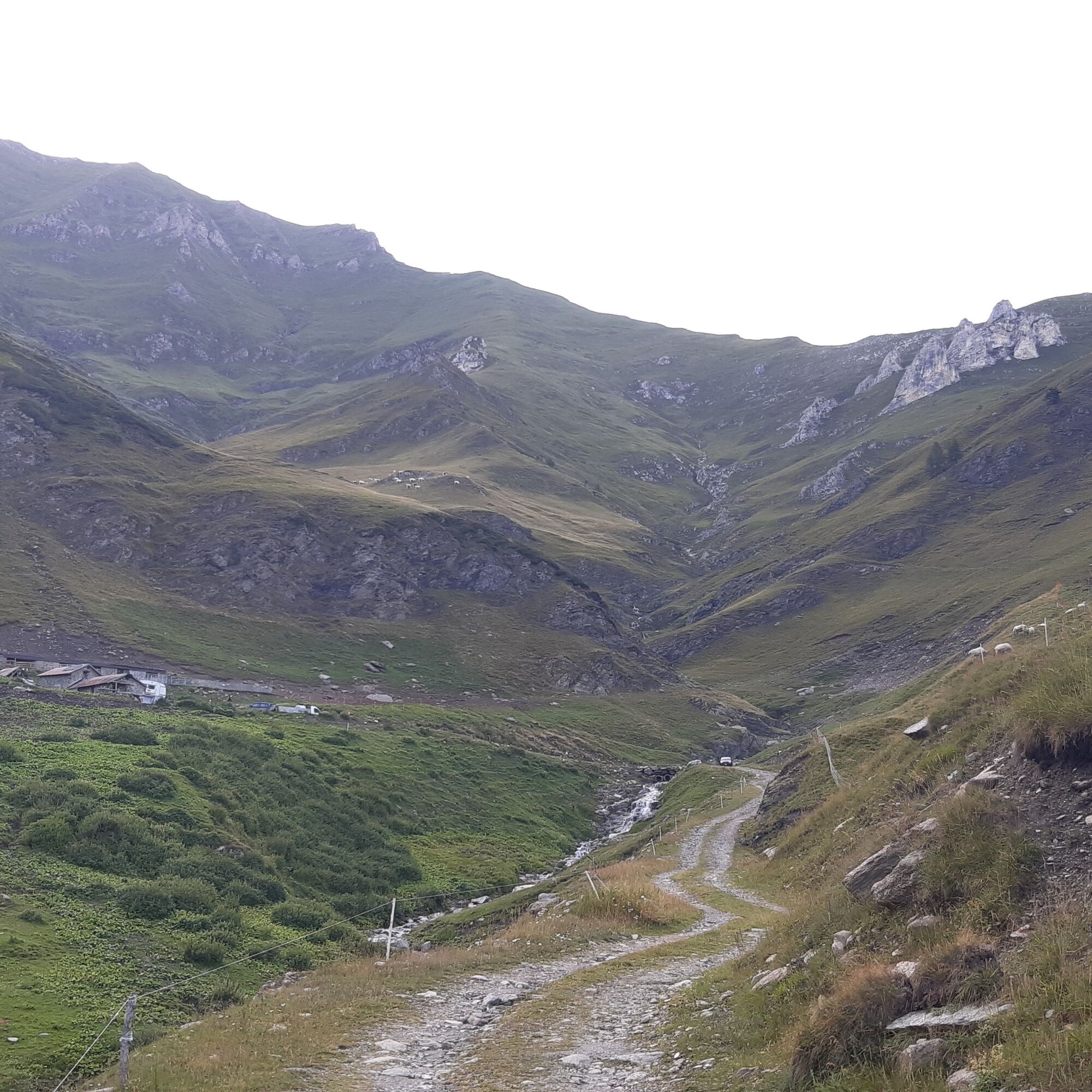
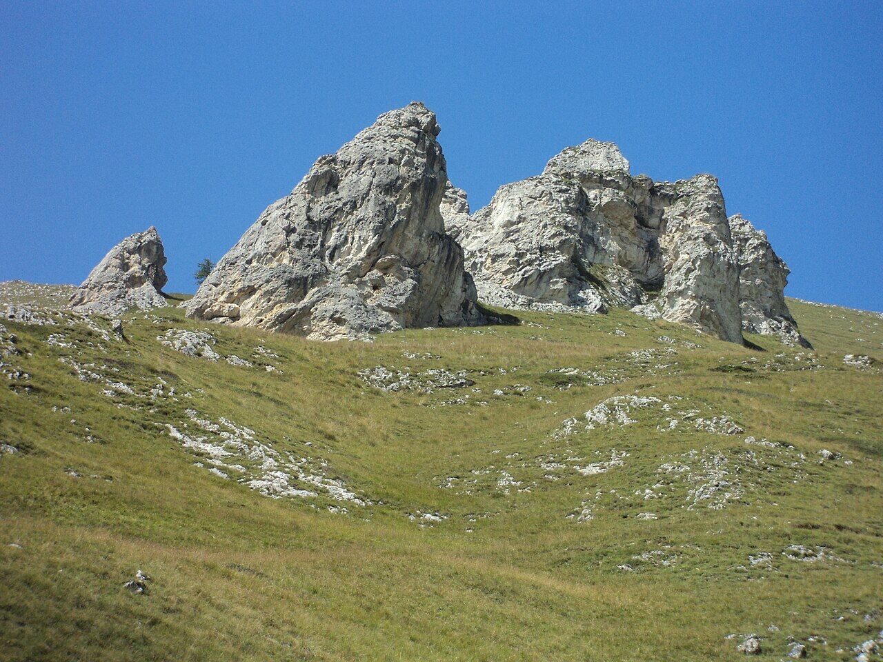
The road now becomes partially unpaved and with some ups and downs you reach Chasteiran, the main hamlet of Bourcet, where the Serafin Refuge is located. You continue on a dirt track that, with wide hairpin bends, climbs to the mountain pasture Gran Serre (1,720 m) and then continues with a long traverse to Alpe Chaulières (1,850 m), right at the bottom of the wild Bourcet Valley. Above are clearly visible the so-called "12 apostles", a series of limestone pinnacles that rise above the grassy slope.


Tak
Tak
Adequate clothing and equipment are recommended.
Before undertaking any hike, it is advisable to check weather bulletins or ask for information at local Tourist Offices.
It is good practice not to hike alone and to always inform someone of your destination.
Do not litter but carry your waste with you, possibly collecting any left by others.
The travel times indicated are approximate and may vary depending on weather conditions, your abilities, and the type of bike used.
Coming from Turin, take the highway to Pinerolo, then continue towards Val Chisone. Follow the SR23 of Sestriere up to the village of Villaretto.
In Villaretto there are several free parking lots.
1
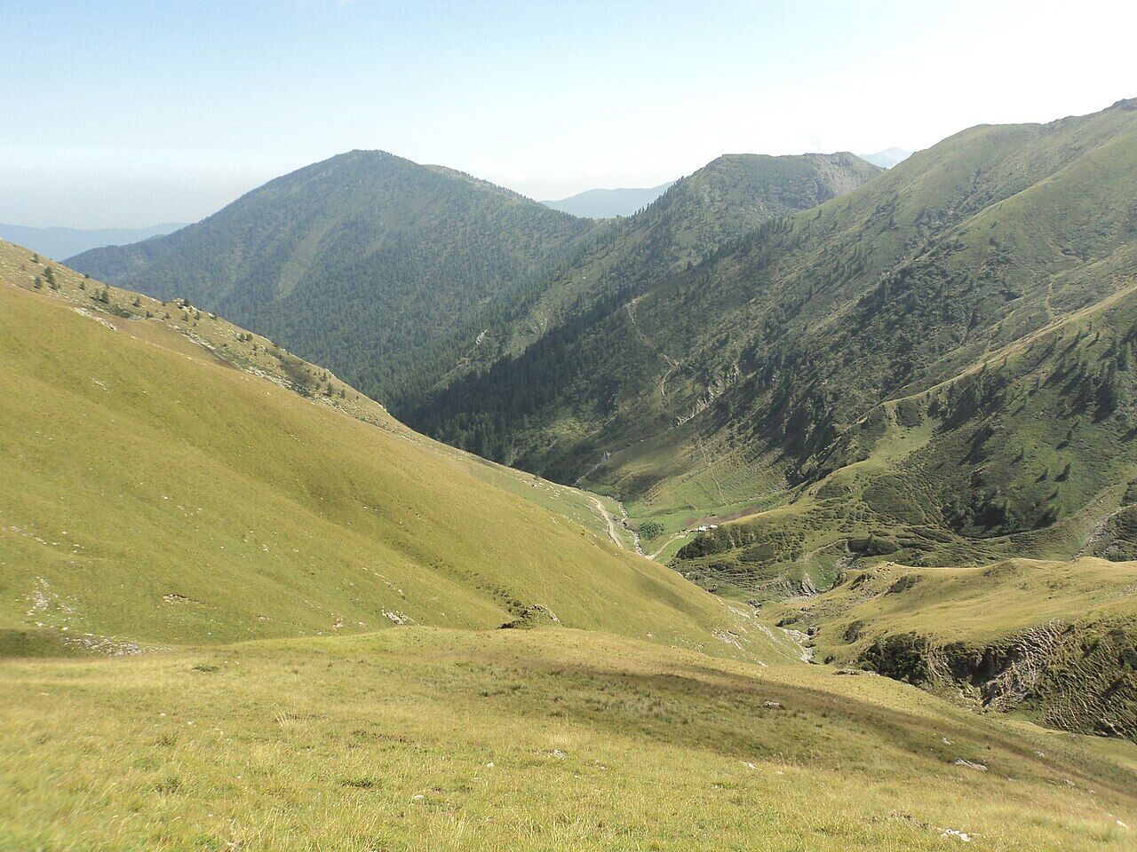
From Alpe Chaulières it is possible to walk, in about an hour, to Col Peans and then to Punta Raccias (2,205 m), from where you can overlook the upper Val Germanasca
Popularne wycieczki w okolicy
-
FENESTRELLE MTB to Selleries Refuge
średniJazda na rowerze 16,0 km -
PRAGELATO The winter charm of the Val Troncea Natural Park
światłoRakieta do chodzenia po śniegu 4,62 km -
PRAGELATO Lake Laux
światłoMountainbike 21,2 km -
PRAGELATO Val Troncea: the valley of flowers
średniWędrówka 8,36 km -
5,0
Pradamont Alpine pasture
średniWędrówka 7,32 km -
The Fort Roads - stage 11 from Massello to Prali
ciężkiTrasa pielgrzymki 13,7 km -
LUSERNA S.G. Upslowtour - Angrogna Valley Ring 11
średniJazda na rowerze 35,0 km -
4,0
The Giro dell'Orsiera G.O. Trail Stage 1: Molè - Rifugio Balma
średniWędrówka 4,52 km -
Le Strade dei Forti
ciężkiTrasa pielgrzymki 227,2 km -
PINEROLO Trail "Ecomuseum of the Charcoal Piles"
średniWędrówka 7,46 km
Wędrówki i tropienie


Nie przegap ofert i inspiracji na następne wakacje
Twój adres e-mail została dodana do listy mailingowej.





