



PESSINETTO Lake Monastero

Poziom trudności: 4
The departure from Pessinetto Fuori allows easy access and proximity to services. The first part is on an asphalt road reaching the town of Chiaves. Then begins the long road from Fontana Sistina to Lake...
The departure from Pessinetto Fuori allows easy access and proximity to services. The first part is on an asphalt road reaching the town of Chiaves. Then begins the long road from Fontana Sistina to Lake Monastero which after a few kilometers becomes unpaved. Upon reaching the Forchetta pass, you pedal with a fantastic view of the Ala and Grande di Lanzo valleys which split, and the Sanctuary of Santa Cristina in between.
The dirt road above 1700 m becomes rougher, but the environment at the arrival rewards the efforts. The small lake lies in a small basin surrounded by green pastures.
For the descent, if you want to do a more technical part, from Chiaves take the path through the woods that leads to Pessinetto Fuori. If you prefer a safer descent, you can retrace the same way back.

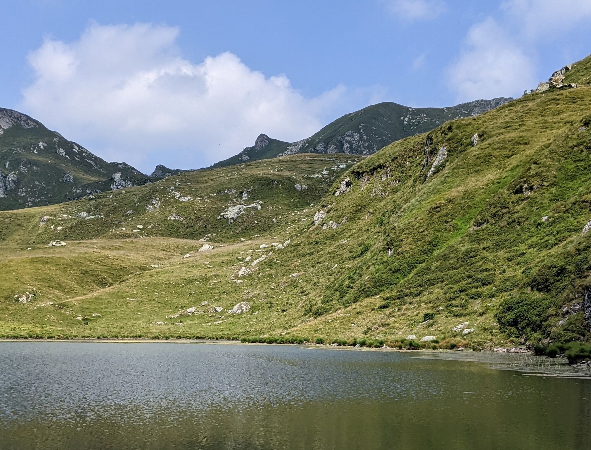
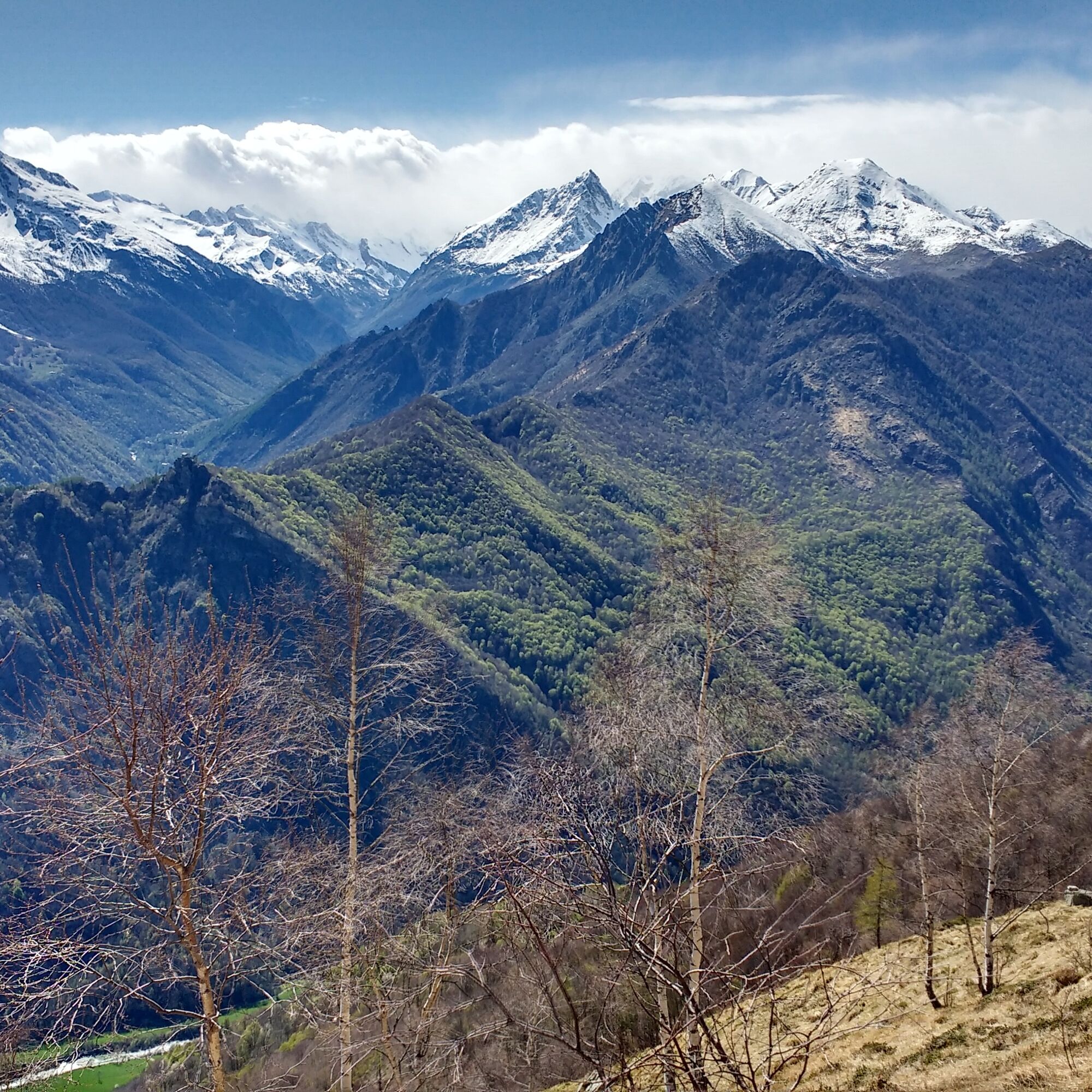
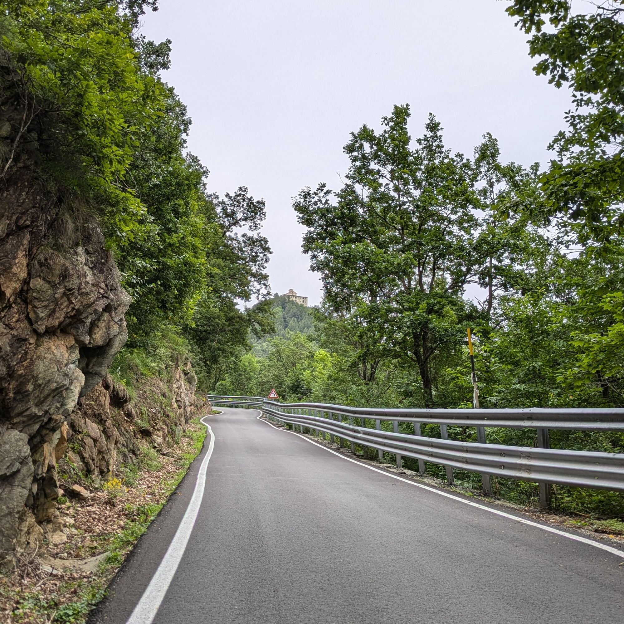
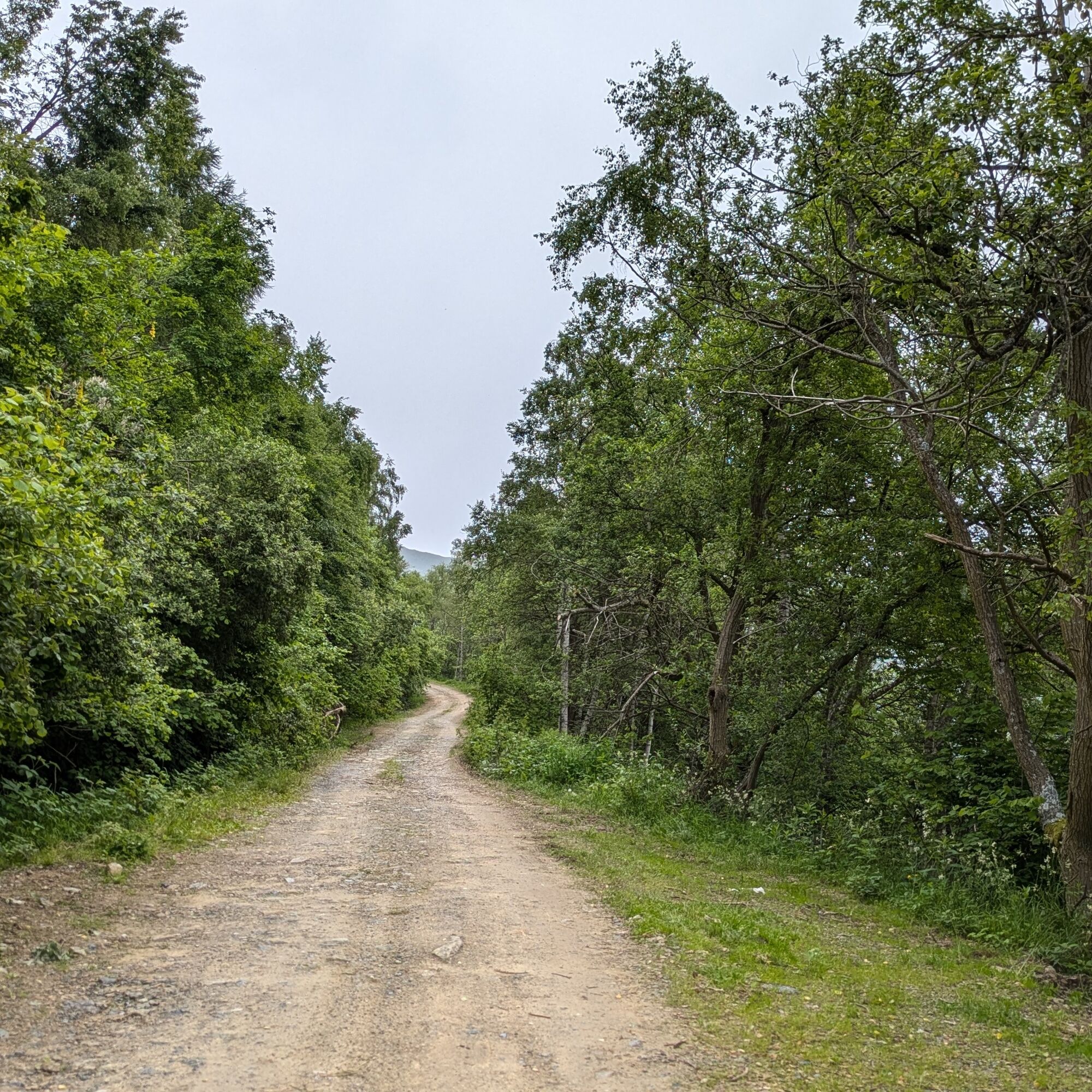
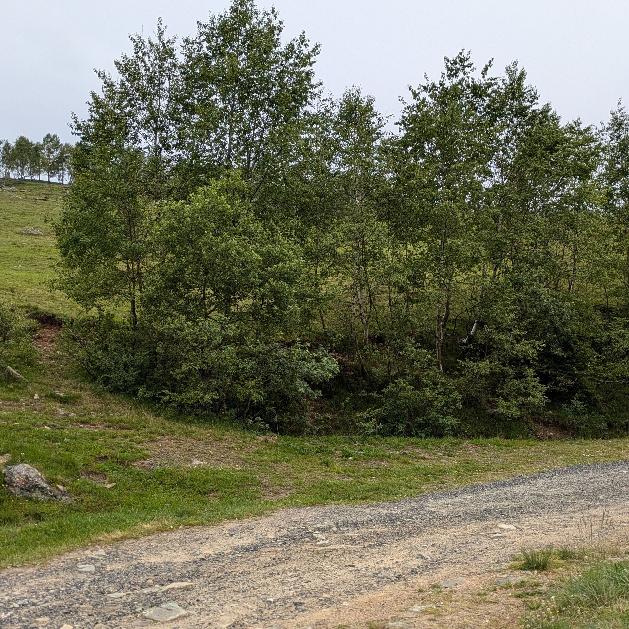
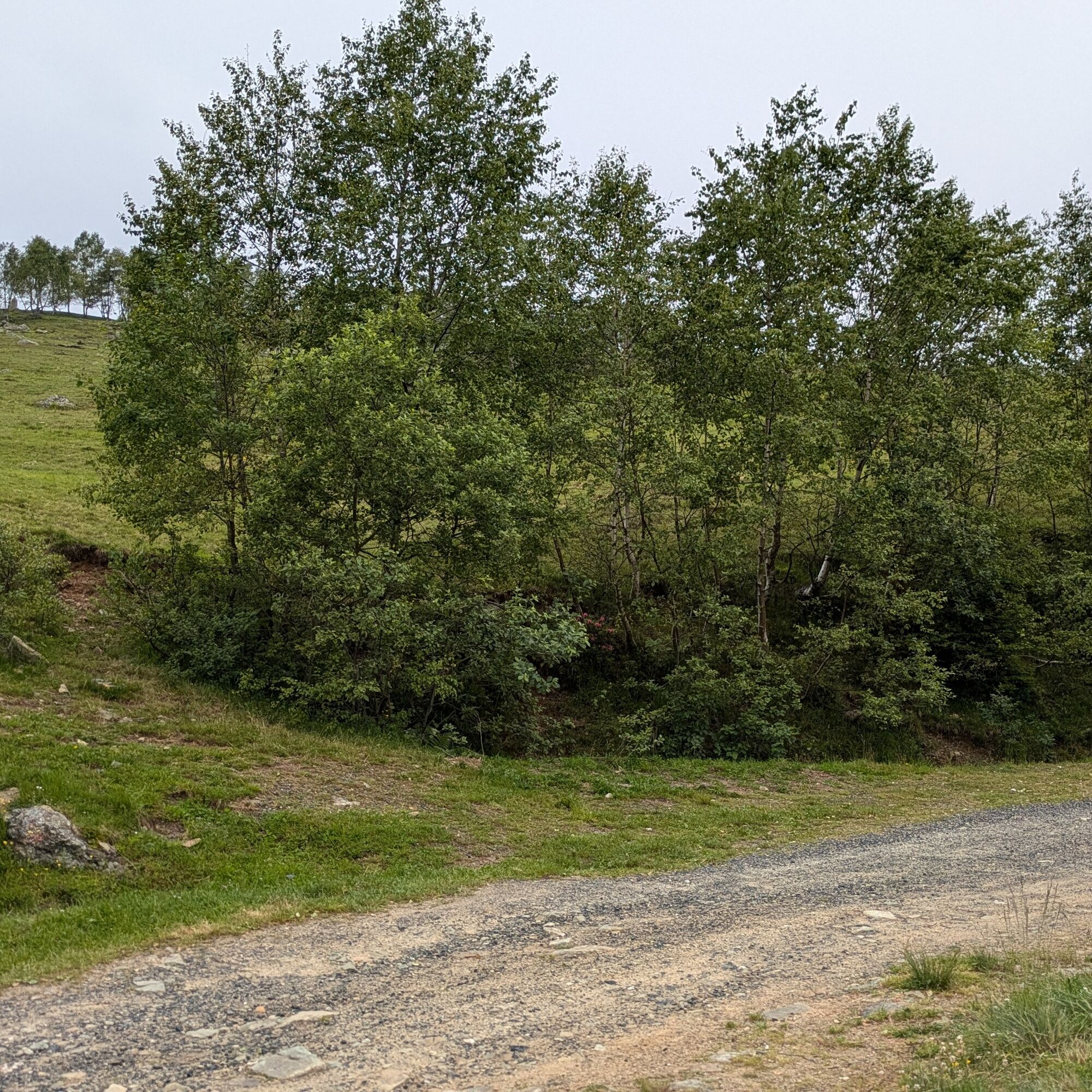
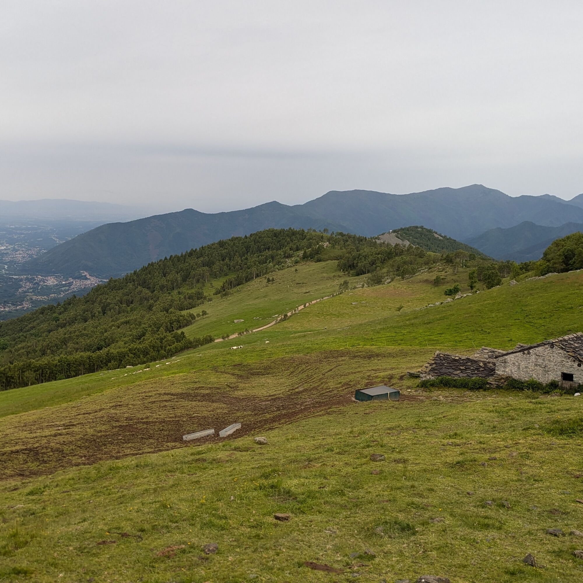
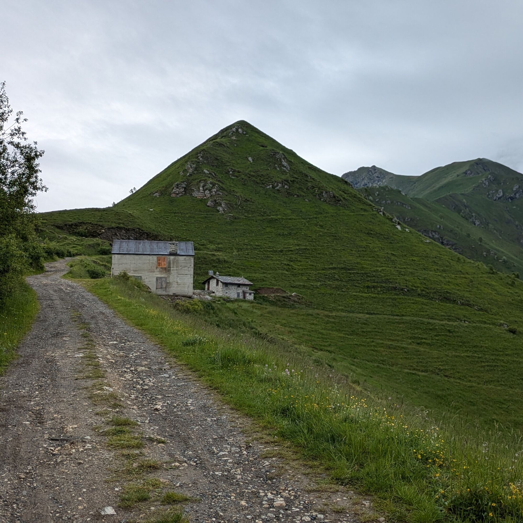
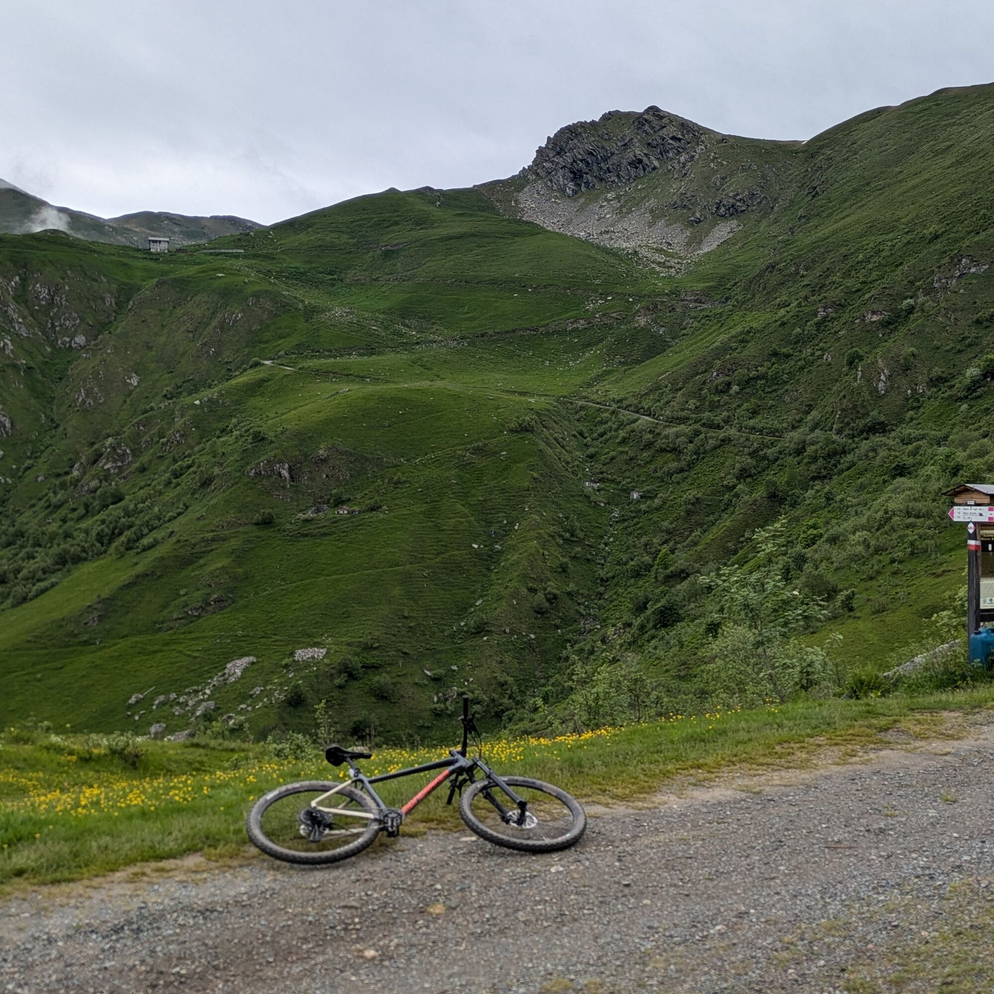
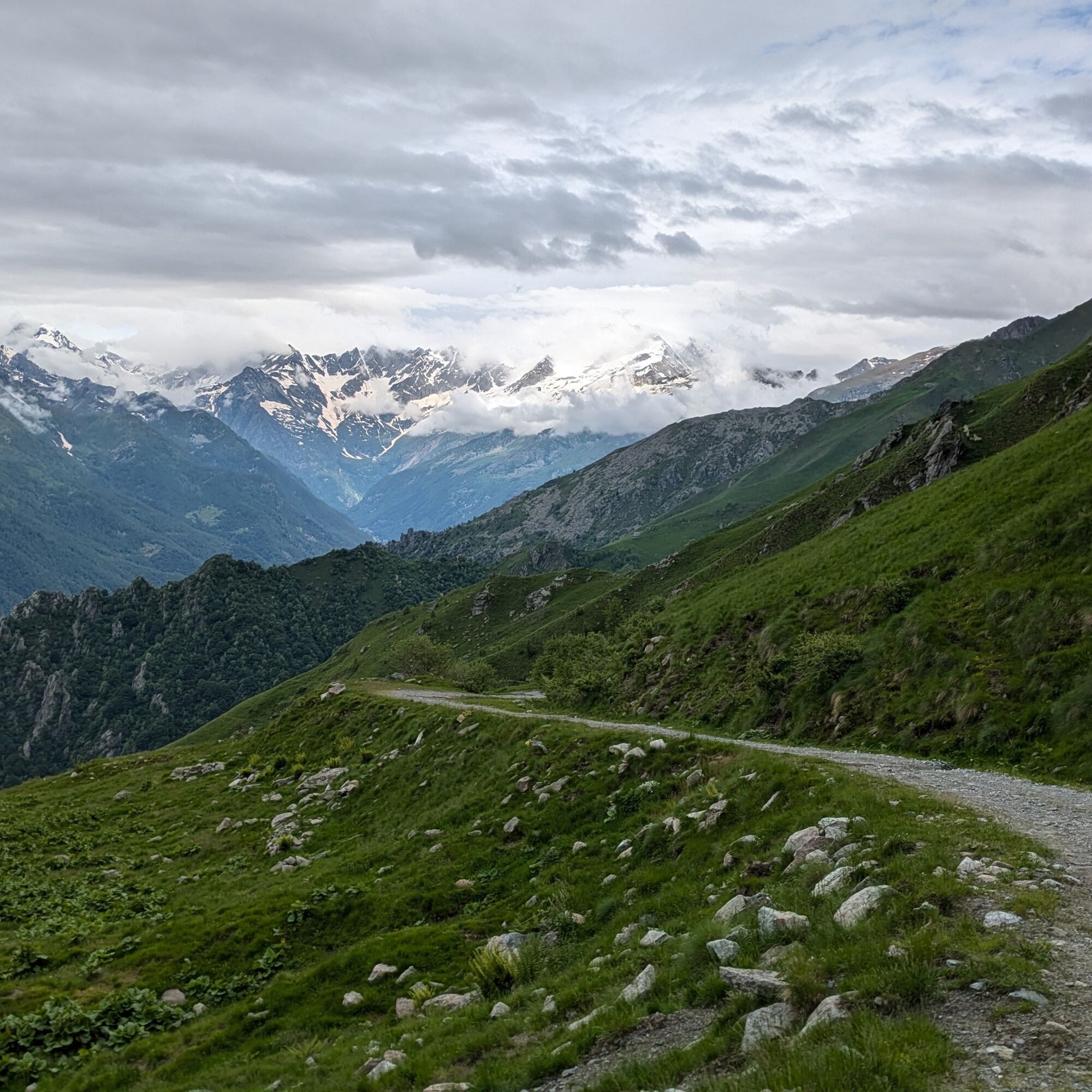

From the square of Pessinetto Fuori, head to Gisola along SP 30; then turn left onto the Gisola-Chiaves road. Upon reaching Chiaves, turn right into the large square and ascend the Fontana Sistina road. After passing the fountain, the mountain road begins, becoming unpaved after a few kilometers. Pass a barrier and always stay on the main road leading to the panoramic Forchetta pass. The road continues to climb up to the lake.
For the return, descend to the Forchetta pass, where you continue straight on a smaller path (beware of a barrier) that leads to the San Giacomo pass. From the pass, descend on the left road that returns to the uphill dirt road. Then descend to Chiaves: go straight into the town center, then right and shortly after left (beware of pedestrians). At a washhouse, take an unpaved road, and at a hairpin bend take the path on the right where a technical descent begins. You arrive at an asphalt road that is crossed by the path several times. The final stretch is on asphalt and leads back to the starting point.
Bicycle helmet, bicycle pump, puncture repair kit, light and reflectors, bike tools, bicycle backpack (about 20 liters with rain cover).
Suitable and resistant outdoor clothing in multiple layers (e.g., functional t-shirt, cycling jersey, shorts, leg warmers and arm warmers), cycling glasses, gloves, protection from sun and rain, snacks and drinking water, water bottle and comfortable holder, first aid kit, synthetic ice, mobile phone, maps.
Opportunity to refill water at Fontana Sistina
In sections on paved roads, make yourself visible and be careful.
From the plain, reach Lanzo Torinese, continue on SP 1, shortly after Losa station turn right onto Via Pessinetto Fuori and turn left to enter the town.
There is ample parking in the square of Pessinetto Fuori
4
For tourist information on the valleys: Lanzo Valleys Tourism Operators Consortium - www.turismovallidilanzo.it
Before undertaking any excursion, it is recommended to check weather reports or ask for information at local Tourist Offices.
It is good practice not to go on an excursion alone and always inform someone about your destination.
Do not litter the environment but carry your waste with you, collecting any left by others if possible.
The indicated travel times are approximate and may vary according to weather conditions and personal abilities.
The road access to the lake is open to traffic, passable by motorcycles or somewhat high cars: it is recommended to go outside the peak season to better appreciate the places.
Popularne wycieczki w okolicy
-
5,0
CERESOLE REALE Bellagarda ponds
średniWędrówka 7,60 km -
CERES Santa Cristina Loop
średniWędrówka 7,84 km -
ALPETTE Monte Soglio and cima Mares from Balmassa
średniWędrówka 10,9 km -
MONASTEROLO Ca' Bianca and Big Bench
światłoWędrówka 4,13 km -
5,0
LEMIE Ovarda Lakes loop
ciężkiWędrówka 15,9 km -
NOASCA Loop to the Noaschetta refuge
średniWędrówka 7,44 km -
VALLO TORINESE Passo della Croce and the Turu
średniWędrówka 4,29 km -
5,0
Goldtoni - Alpenbogen A120 Pialpette-Ceresole Reale
średnidługodystansowy szlak pieszy 18,2 km -
GPR - Giroparco Gran Paradiso
ciężkiWędrówka 100,4 km -
5,0
PONT CANAVESE Valle Orco and Colle del Nivolet
ciężkiJazda na rowerze 56,3 km
Wędrówki i tropienie


Nie przegap ofert i inspiracji na następne wakacje
Twój adres e-mail została dodana do listy mailingowej.


