


GPR - Giroparco Gran Paradiso
The Giroparco Gran Paradiso itinerary largely retraces the former Royal Hunting Roads built by the House of Savoy in the mid 1800s to connect the five "royal hunting lodges" of the Reserve, which in 1922...
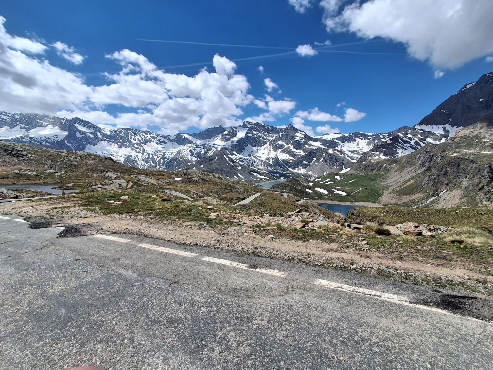
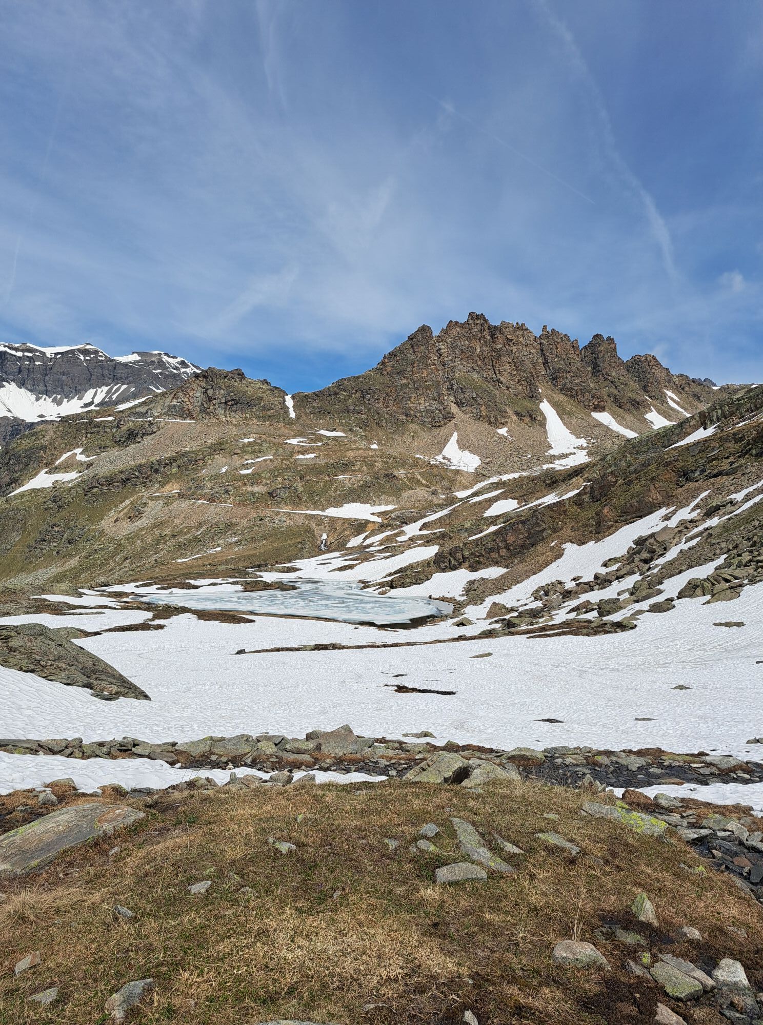
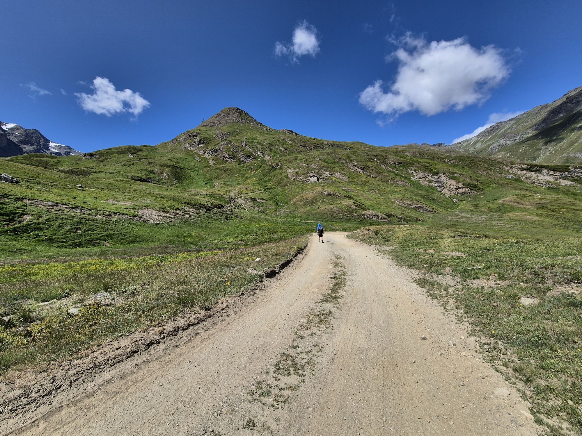
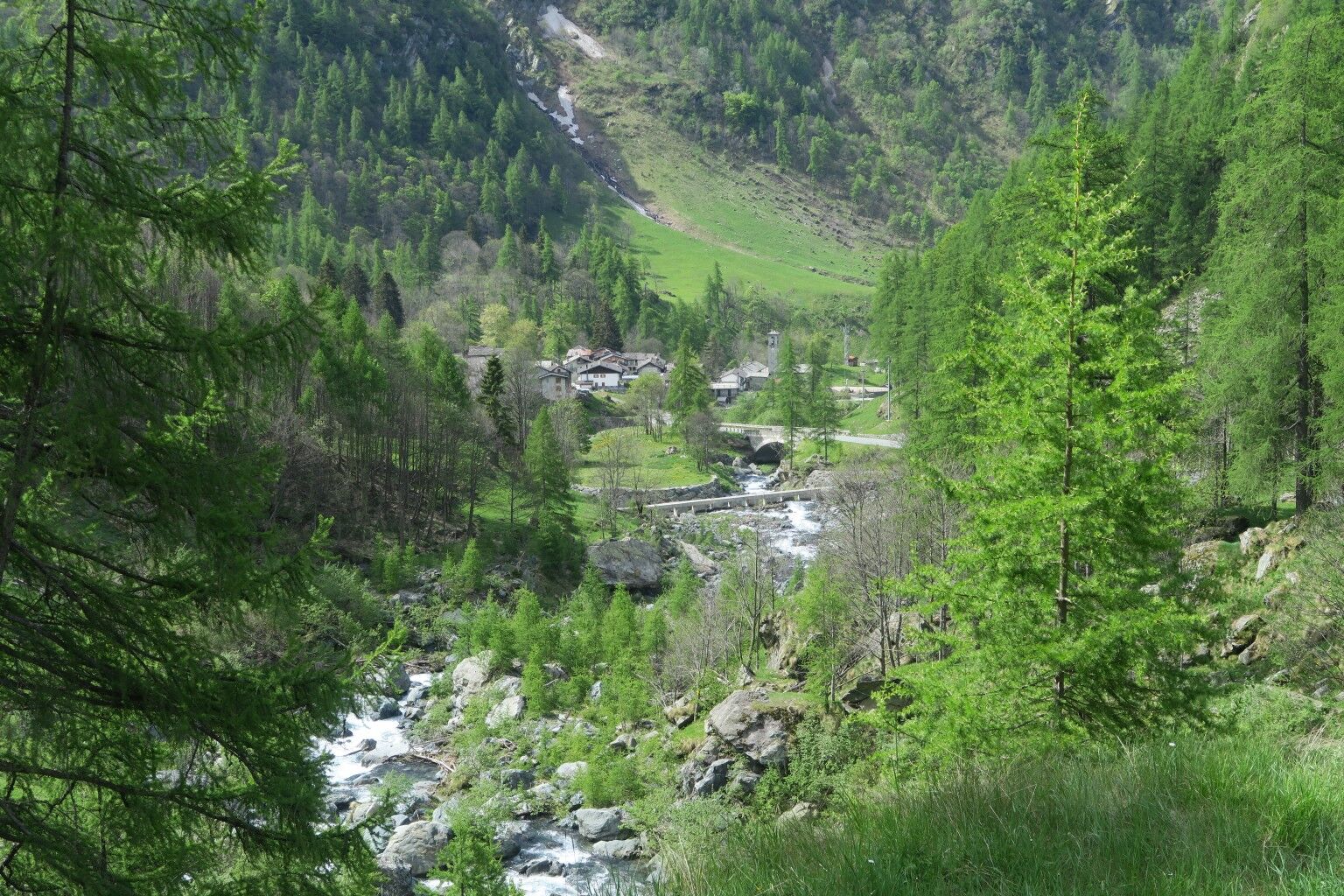
The Giroparco Gran Paradiso itinerary largely retraces the former Royal Hunting Roads built by the House of Savoy in the mid 1800s to connect the five "royal hunting lodges" of the Reserve, which in 1922 became Italy's first National Park.With a constant gradient of around 8/10%, and with admirable dry stone walls and paved sections, they had to provide rideable pathways so that the royalparty could easily access the lodges. Some sections of the itinerary are at high altitude,offering extensive views of the spectacular scenery of the Orco and Soana Valleys, with their valuable landscape and environmental heritage.


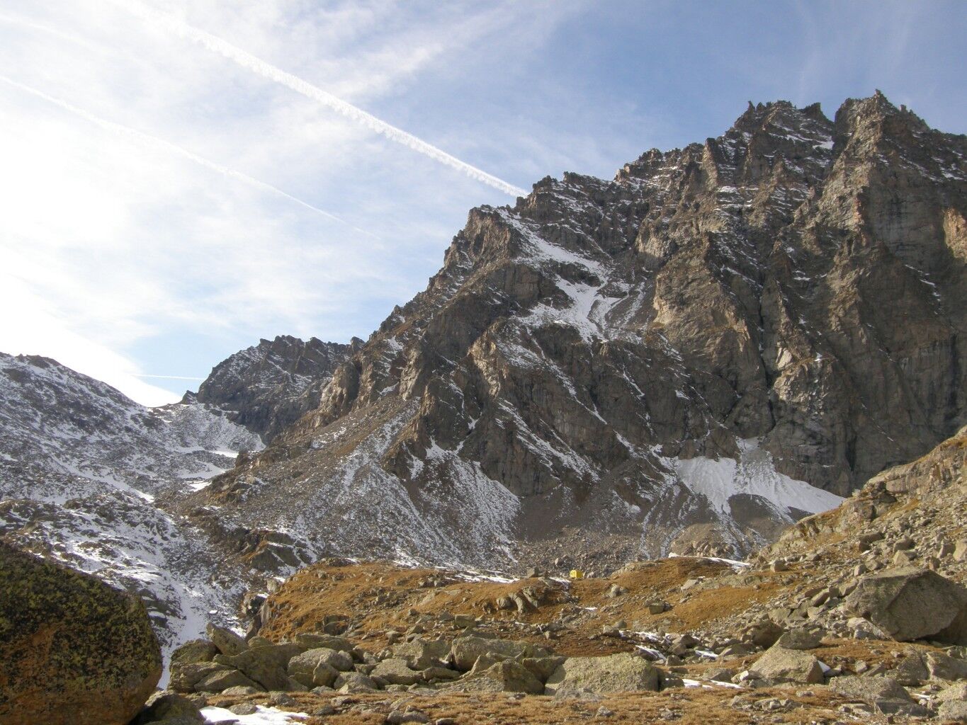
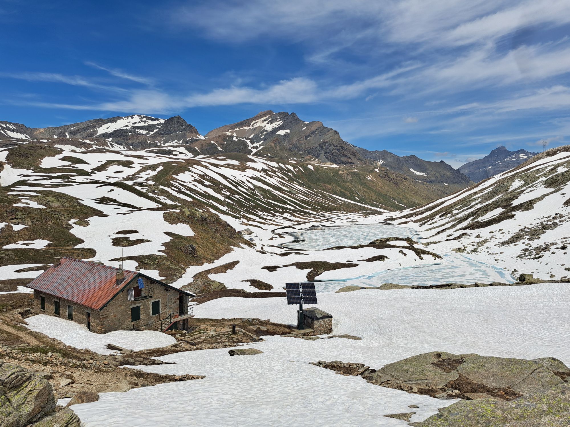
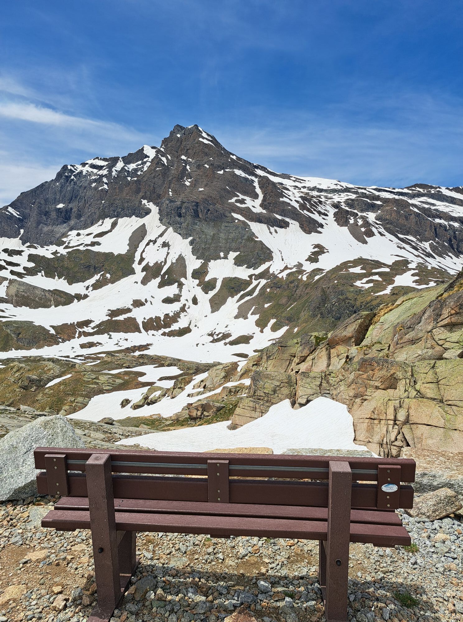
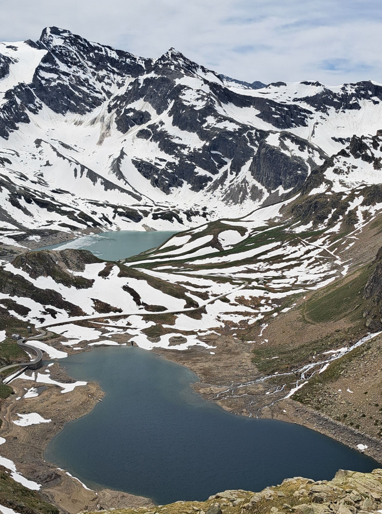
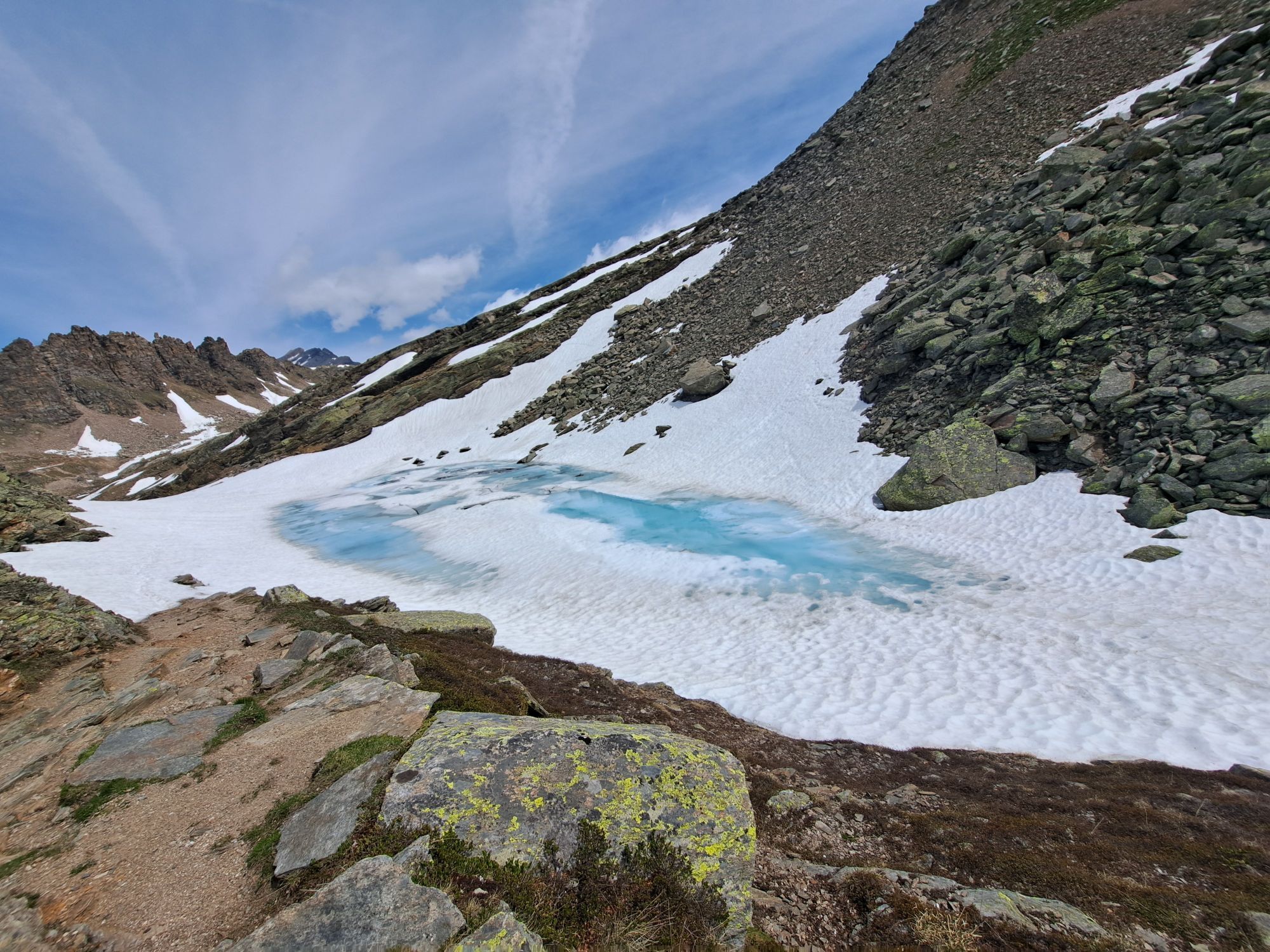
From the refuge you descend to Lake Losere following the trace of the old mule track interrupted by hairpin bends from the road that goes up to Colle del Nivolet. Alongside the lovely Losere Lake, the mule track continues slightly downhill along the valley, with a grandiose panorama of the Levanne and Lake Serru. The route then continues flat, crossing some small streams and the Videsott path that goes up from Chiapili di Sopra. In this area it is possible to admire the valley from some hunting positions, still perfectly preserved. After this point the mule track begins to climb more steeply, but with a regular slope up to Colle della Terra, from where, in two minutes you can reach Punta Rocchetta, with a splendid view of Lake Ceresole and the valley below. From the Colle in about ten minutes you descend to the beautiful Lake Lillet, nestled under a rock wall. From the lake, take the track that goes up over stony ground, crossing, a little further on, route 540 that goes up from Mua-Ceresole. Keeping left, the path quickly reaches Colle della Porta 3002 m. From the Colle the ancient royal road descends with a few turns on the opposite side, between snowfields and debris, towards the Giraudo bivouac. At an altitude of approximately 2700 m, when the mule track bends to the right, abandon it and continue left along tracks that disappear between the large blocks of scree up to Lago della Piatta and the nearby Bivacco Giraudo 2630 m (6 beds, always open, water nearby).
Tak
Use of waterproof boots, wind jacket, and trekking poles is recommended
Equipment suitable for high mountain routes.
Ceresole Reale, Valprato Soana
By train: from the Piedmont side reaching the railway stations of Turin, Ivrea and Pont Canavese, from where continue by public buses. From the Aosta Valley side up to Aosta railway station, then continue always by public buses;
By bus: the Piedmont side is served by GTT lines up to Rivarolo and Pont, then continue with public buses on the Rivarolo-Pont-Locana-Noasca lines (Orco valley) and Turin-Pont Canavese-Valprato Soana (Soana valley). The Aosta Valley side is served by the Arriva and Svap company lines.
Free parking
Do not shout or listen to loud music. Do not pick flowers and generally do not remove anything from the environment. Keep dogs on a leash. Do not pollute the environment, take your waste with you or use recycling points.
In addition to simple day excursions, Gran Paradiso offers real trekking routes in stages along the paths. These can be done in summer and require several days with the possibility of sleeping in tents in the designated areas. With a continental alpine climate, with very cold winters and temperatures below 0 and mild summers, the Gran Paradiso National Park is ideal to visit all year round thanks to the many activities it offers. Pay attention to rainfall: slightly more abundant on the Piedmont side, the rainiest months are May, June, July and August.
Popularne wycieczki w okolicy
- 5,0
Gran Paradiso über Rifugio Vittorio Emanuele II.
średniWycieczka wysokogórska 10,1 km - 4,7
Lillaz - Lago delle Loie - Val Bardoney - Lillaz
średniWędrówka 14,7 km - 3,0
Cascate di Lillaz
Wędrówka 6 km - 5,0
CERESOLE REALE Bellagarda ponds
średniWędrówka 7,60 km Gran Paradiso
Wycieczka narciarska 11,8 kmNel Parco del Gran Paradiso
Mountainbike 26 km- 4,0
Ciavanassa refuge from Piamprato
średniRakieta do chodzenia po śniegu 4,88 km CAMPIGLIA SOANA Sanctuary of San Besso
średniWędrówka 6,65 kmNOASCA Loop to the Noaschetta refuge
średniWędrówka 7,44 kmNOASCA The high hamlets route
średniWędrówka 6,57 km
Wędrówki i tropienie


Nie przegap ofert i inspiracji na następne wakacje
Twój adres e-mail została dodana do listy mailingowej.