


The Roads of the Forts - stage 3 Pinerolo, a French city for 120 years
Part of the longest route The Roads of the Forts, this stage (like the others) can be done independently of the others, arriving in Pinerolo by car or, better yet, by public transport.
The recommendation...
The recommendation is definitely to stay in Pinerolo at least one night to fully experience the city; after the walk, it is advised to enjoy a slice of the local Zurich Cake (or an aperitif) in one of the historic cafés or pastry shops in the historic center, where there are also many restaurants and pizzerias able to satisfy every palate.
Along the route, leaving the city towards Abbadia Alpina, you encounter the Galup shop, which produces the low Piedmontese panettone born right in Pinerolo.

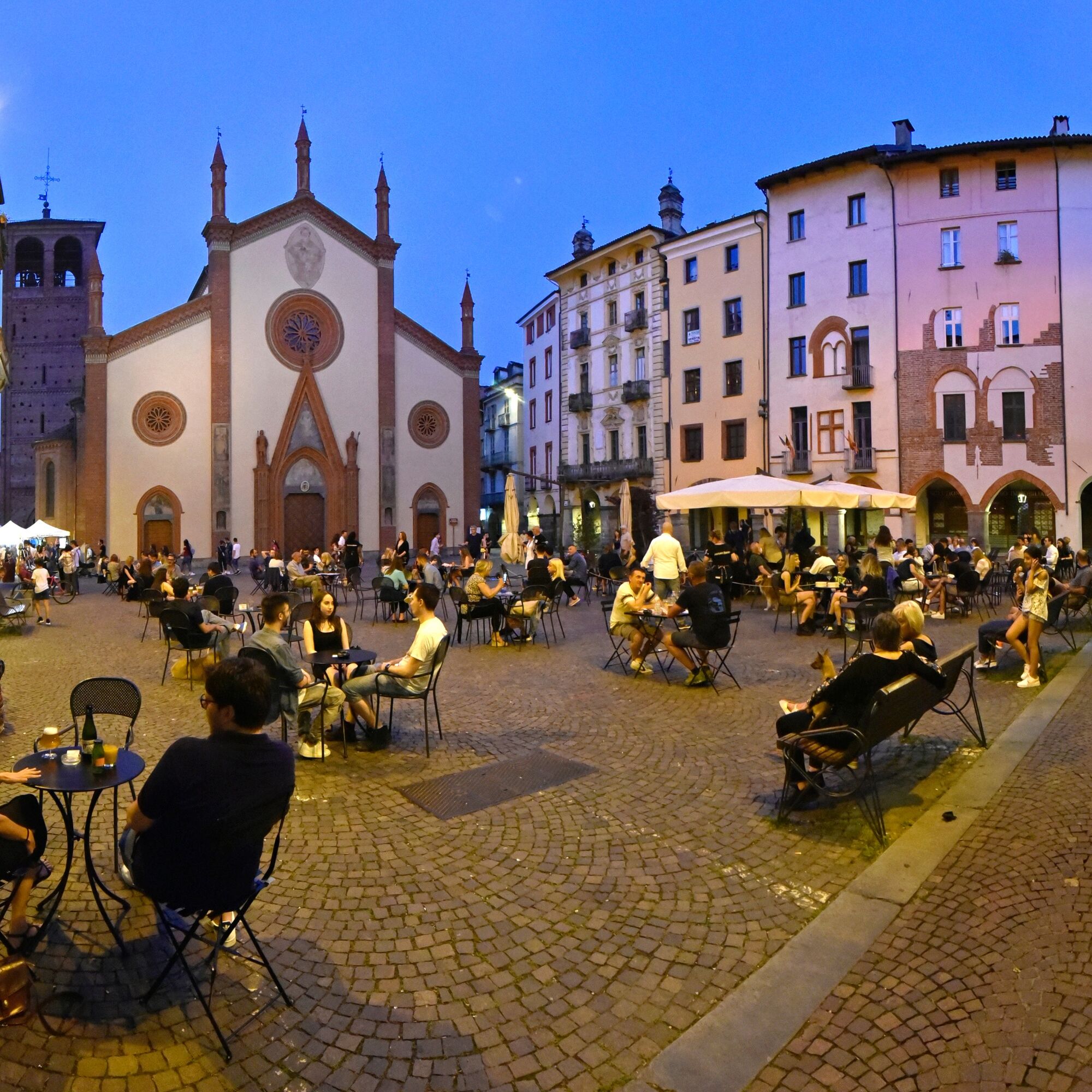
From the square, head along Via Cesare Battisti, pass the Civic Library, and reach Piazza Vittorio Veneto, where a large market with over 300 stalls is held every Saturday morning (on Wednesdays in a reduced form). Overlooking the square is Palazzo Vittone, a building that houses part of the civic museums. Also located on the square are the Social Theatre, the Town Hall, which is housed in a building that was an arsenal in the 1600s, and the Pinerolo Tourist Office. Taking Via del Duomo leads into the historical center of the city: the heart of life and nightlife in Pinerolo. There are venues with their outdoor seating, typical products, and shops for all tastes. Continuing on Via del Duomo, you pass next to the Mutual Aid Museum and the Diocesan Museum, and arrive at Piazza S. Donato, which hosts the cathedral of Pinerolo.
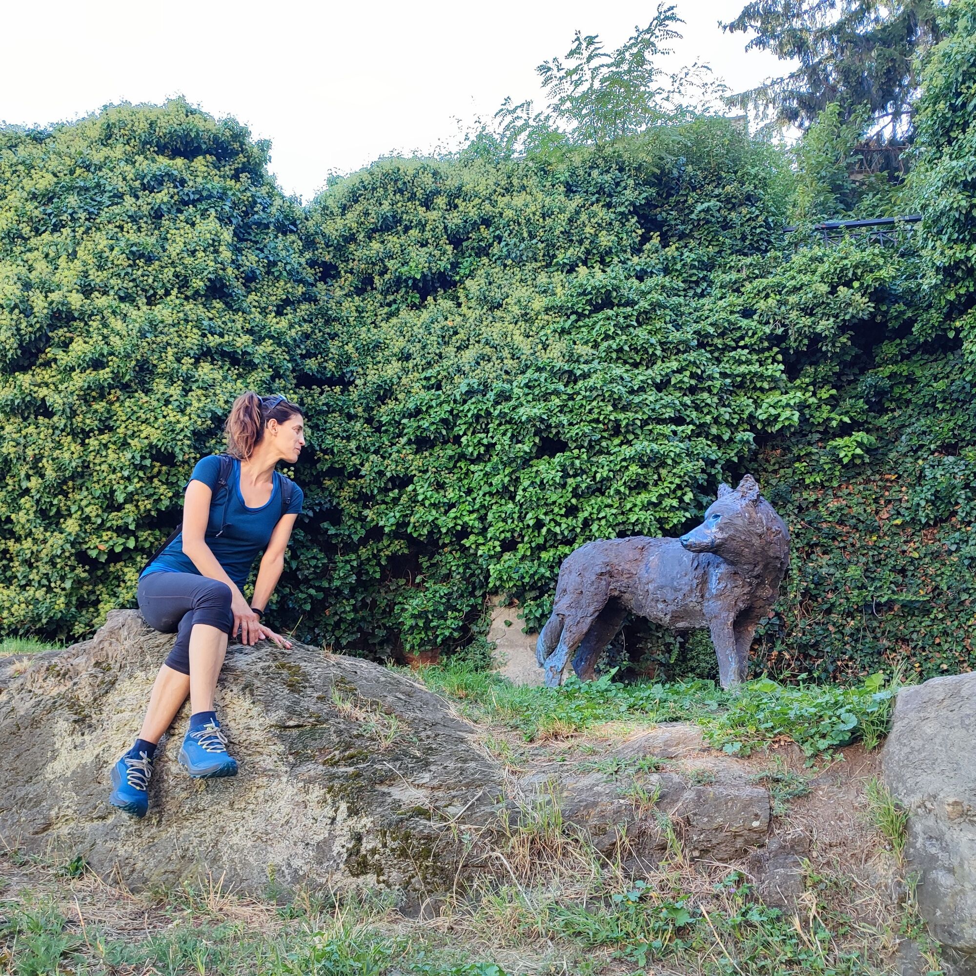
Proceed until you cross Via Principi d’Acaja and turn right to start gently climbing towards the hill. At the height of the medieval Casa del Senato, you can see a bronze wolf by Davide Rivalta watching from the top of the Acaja terraces.
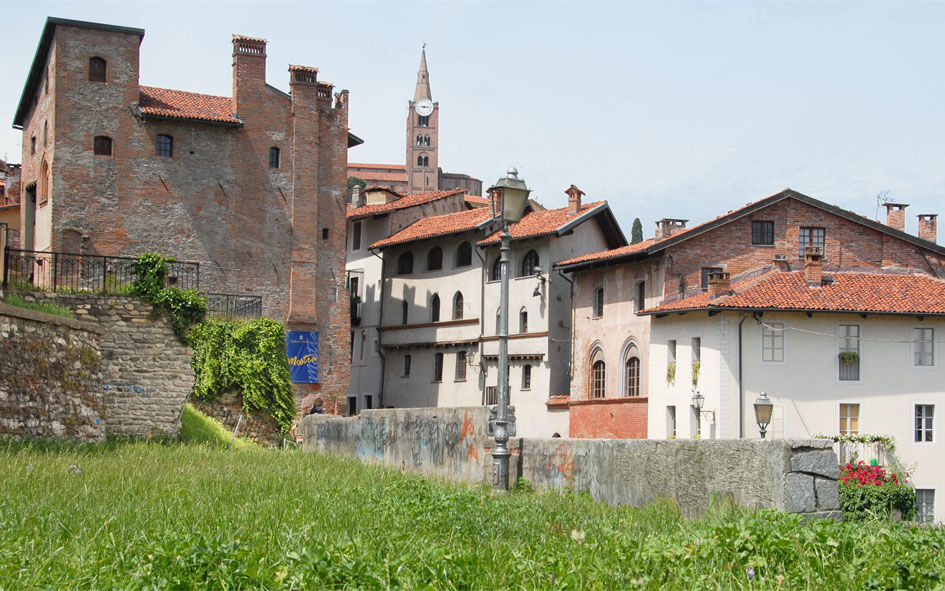
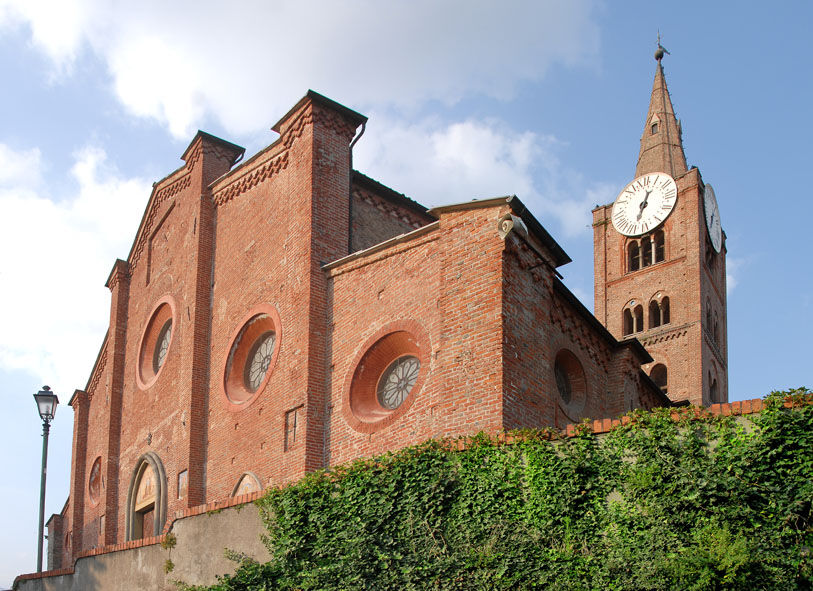
Along the ascent, you encounter the so-called Palazzo degli Acaja and then reach the Basilica of S. Maurizio. Here our route intersects with another itinerary: Scopricollina.
If you go around the basilica, you reach a beautiful panoramic terrace overlooking the Sanctuary of the Madonna delle Grazie.
To continue, take Via Principi d’Acaja again, then turn right immediately onto Via al Castello / Via Iacopino Longo downhill, and again onto Via Ortensia di Piossasco.
Upon reaching the intersection with Stradale Fenestrelle, you can look out onto Piazza Matteotti and the De Amicis gardens, from which the Waldensian Temple is visible.
Then turn right onto Stradale Fenestrelle, which then becomes Via Nazionale. This stretch is very pleasant because, in the first part, you can walk along the shade of a tree-lined boulevard. You arrive at Piazza d'Armi, the point from which the next stage starts.
Tak
Wear clothing and footwear suitable for the environment and the season
Along the route there are many fountains to refill your water bottle.
Arriving in Pinerolo is easy by following the A55 for those coming from Turin.
Train www.trenitalia.com
Bus www.torino.arriva.it - www.cavourese.it
There are several public parking lots in the center of Pinerolo.
Before undertaking any excursion it is advisable to check weather bulletins or ask for information at local Tourist Offices.
It is good practice not to hike alone and always inform someone of your destination.
Do not litter the environment but carry your waste with you, possibly collecting that left by others.
The times indicated are approximate and may vary according to weather conditions and individual abilities.
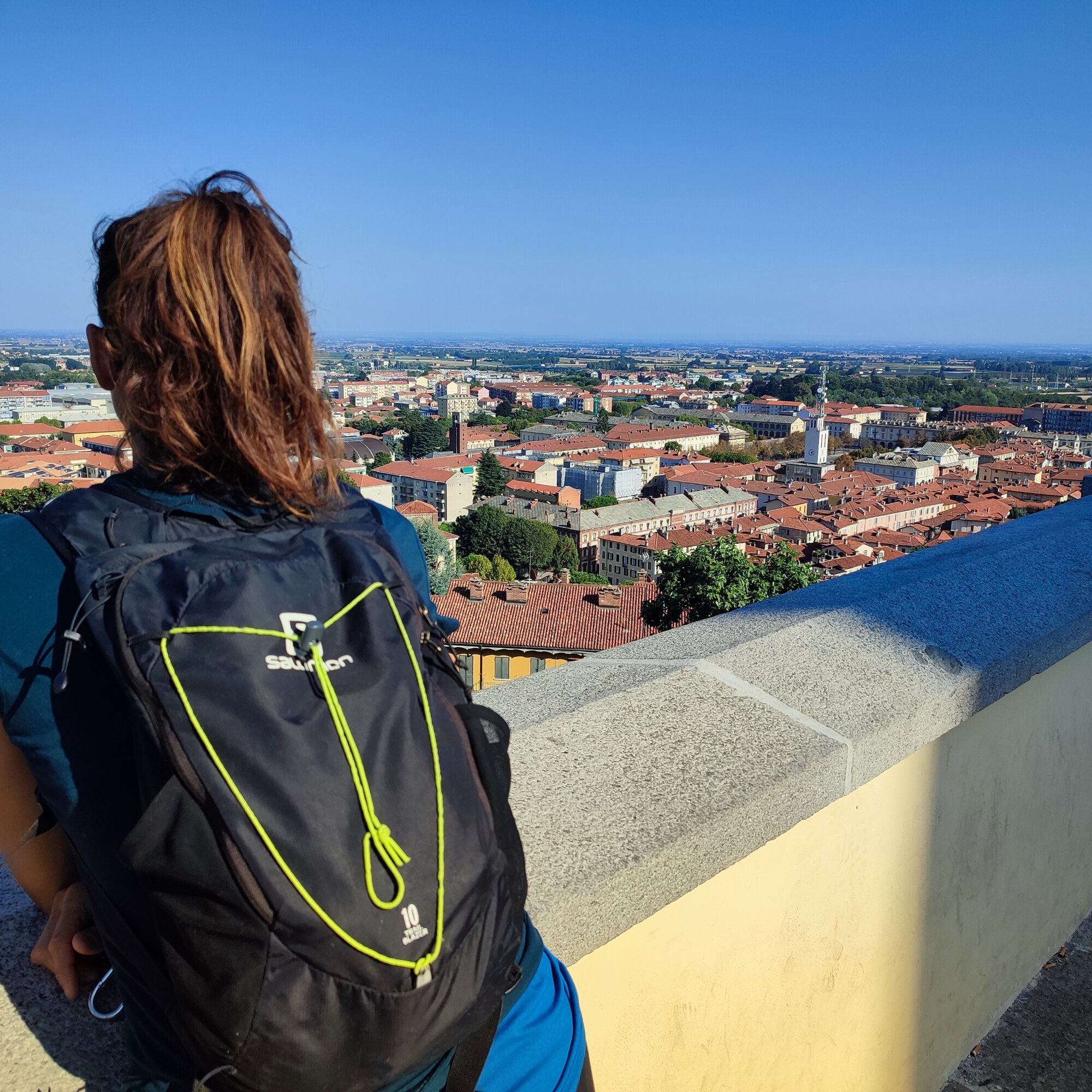
Reach the square of S. Maurizio to enjoy a wonderful view over the Pinerolo plain!
Popularne wycieczki w okolicy
-
BRICHERASIO The Via della Pietra
światłoKolarstwo długodystansowe 11,5 km -
PINEROLO Route to Monte Muretto
średniWędrówka 2,12 km -
PRAROSTINO From Piani to Sonagliette and back - SLOWLY TOGETHER
światłoWędrówka 6,60 km -
TORRE PELLICE Naturalistic trail "The Jay"
światłoWędrówka 10,2 km -
LUSERNA S.G. Upslowtour - Angrogna Valley Ring 11
średniJazda na rowerze 35,0 km -
TORRE PELLICE Hike to Bars d'la tajola (and Monte Castlus)
średniWędrówka 4,40 km -
TORRE PELLICE Excursion to Colle della Sea
średniWędrówka 7,83 km -
Angrogna Valley Loop
Wędrówka 38,3 km -
SAN SECONDO Upslowtour - Loop 14 Memory and partisan routes
średniJazda na rowerze 33,8 km -
CUMIANA by MTB on the Amphitheater Path
średniMountainbike 32,4 km

Wędrówki i tropienie


Nie przegap ofert i inspiracji na następne wakacje
Twój adres e-mail została dodana do listy mailingowej.