






LEMIE Nature Trail Val di Viù
Poziom trudności: S3
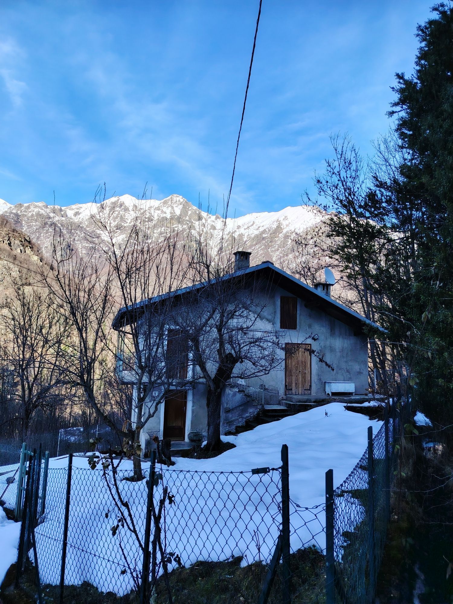
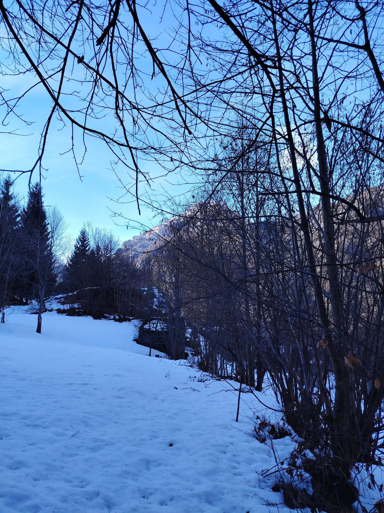
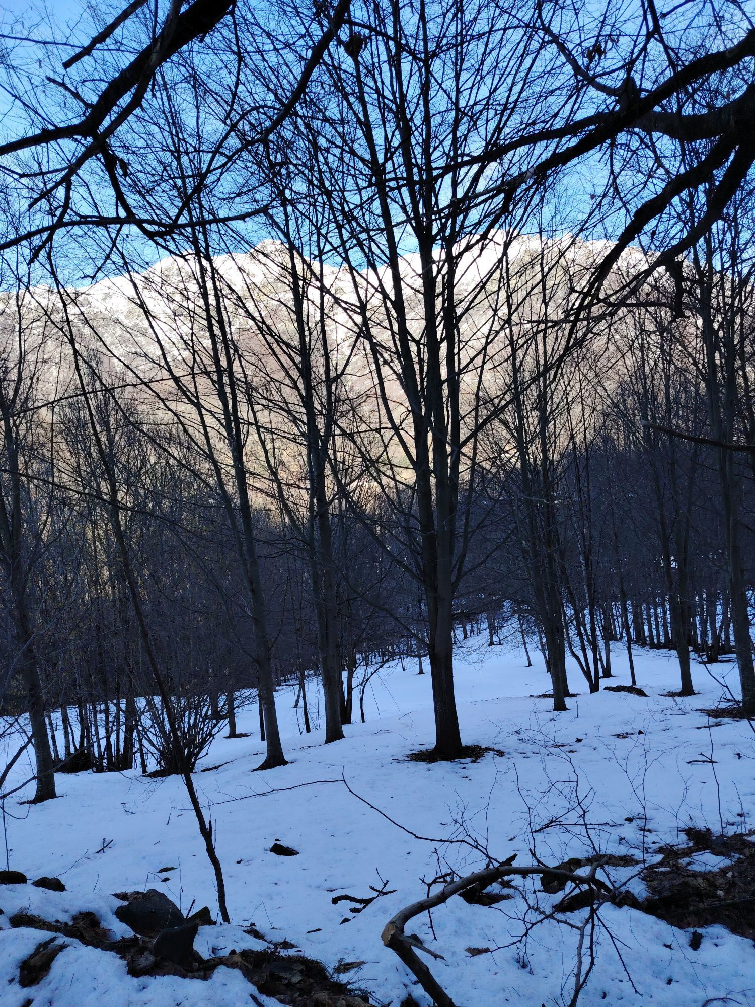
Leaving from the hamlet of Villa di Lemie, we will ascend toward Usseglio along the Nature Trail route. In the vicinity of Usseglio we will consider the possibility of returning or climbing up to Pian...
Leaving from the hamlet of Villa di Lemie, we will ascend toward Usseglio along the Nature Trail route. In the vicinity of Usseglio we will consider the possibility of returning or climbing up to Pian Benot (scenic spot). Here we will return from the main road or, if interested and on request, we can confront a downhill "single track" until rejoining the "nature trail" and then return to Villa.
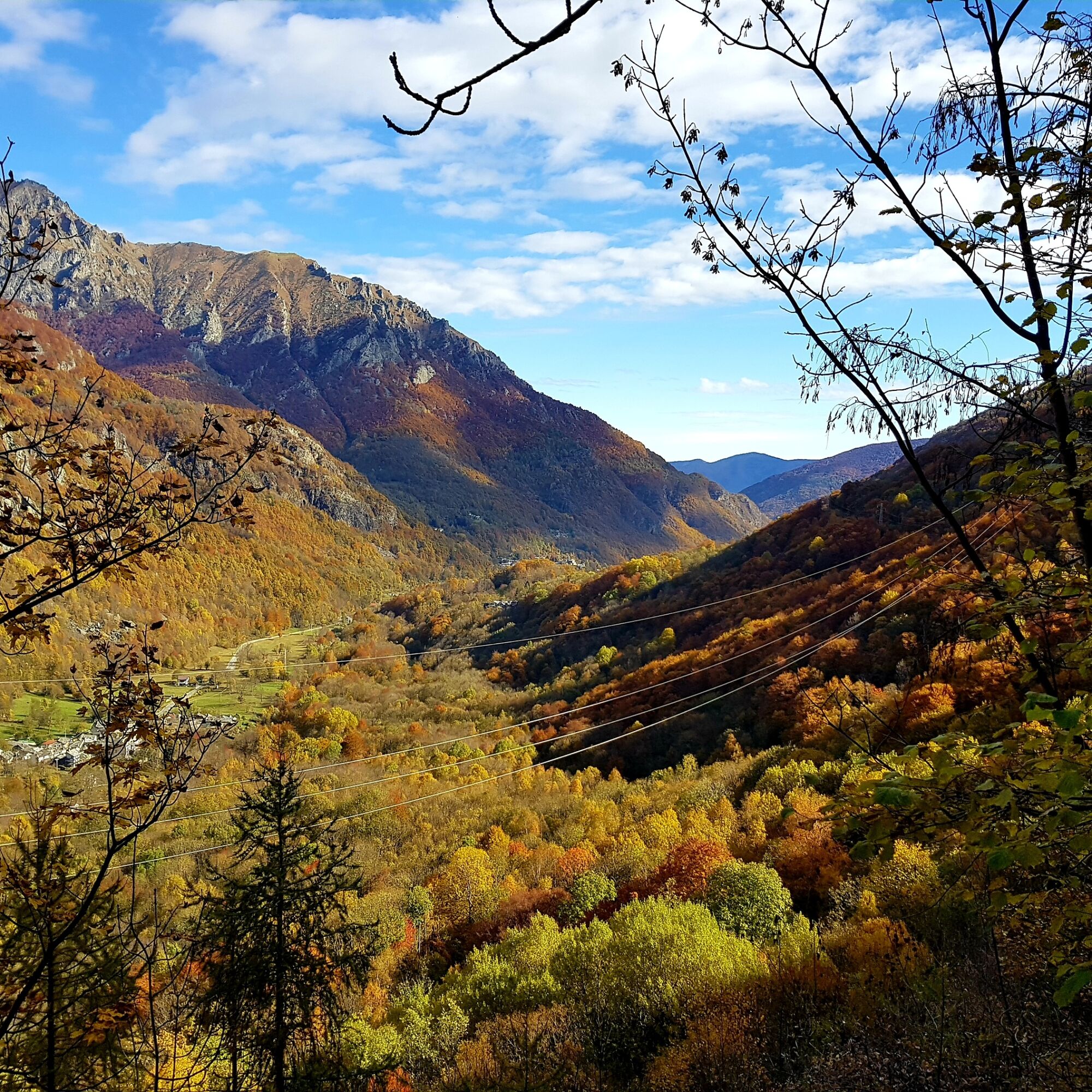

Differently from Pian Benot, return on the same route as the outward journey
In the summer period due to the presence of herds and grazing animals, pay close attention to tidal dogs and electric wires marking grazing areas.
How to get to Lemie: Follow to Lanzo Torinese, then take the Viù Valley (SP1) until you pass Viù and reach the village of Lemie.
There is convenient parking just before the entrance to the village.
S3
NOTE: tour particularly flexible and customizable according to everyone's needs and specifications. Distinct routes also possible, which in this case will be given to more than one guide.
Popularne wycieczki w okolicy
-
4,7
Rocciamelone partedjo dalla Riposa. Mompantero, Piemont/Italien
średniWędrówka 10,6 km -
5,0
BALME Green Lakes and Lago Paschiet
średniWędrówka 7,51 km -
5,0
BALME Arnas Ring - Pian della Mussa
ciężkiWędrówka 13,6 km -
5,0
LEMIE Ovarda Lakes loop
ciężkiWędrówka 15,9 km -
COLLE DEL LYS Partisan Trail
średniWędrówka 11,6 km -
4,7
High Way of the Lanzo Valleys | Stage 6 Tazzetti Refuge - Lake of Malciaussia
średniWędrówka 5,49 km -
5,0
Alta Via delle Valli di Lanzo | Stage 4 Rifugio Citt di Ciri - Rifugio Cibrario
ciężkiWędrówka 12,0 km -
USSEGLIO Lake Nero from Lake Malciaussia
światłoWędrówka 4,79 km -
USSEGLIO Lake behind the Tower and of the Rossa
ciężkiWędrówka 17,1 km -
VIU' Lake Viana from Alpe Bianca
średniWędrówka 5,56 km

Wędrówki i tropienie


Nie przegap ofert i inspiracji na następne wakacje
Twój adres e-mail została dodana do listy mailingowej.





