


CERES nature trail Val Grande to Forno Alpi Graie
Poziom trudności: S1
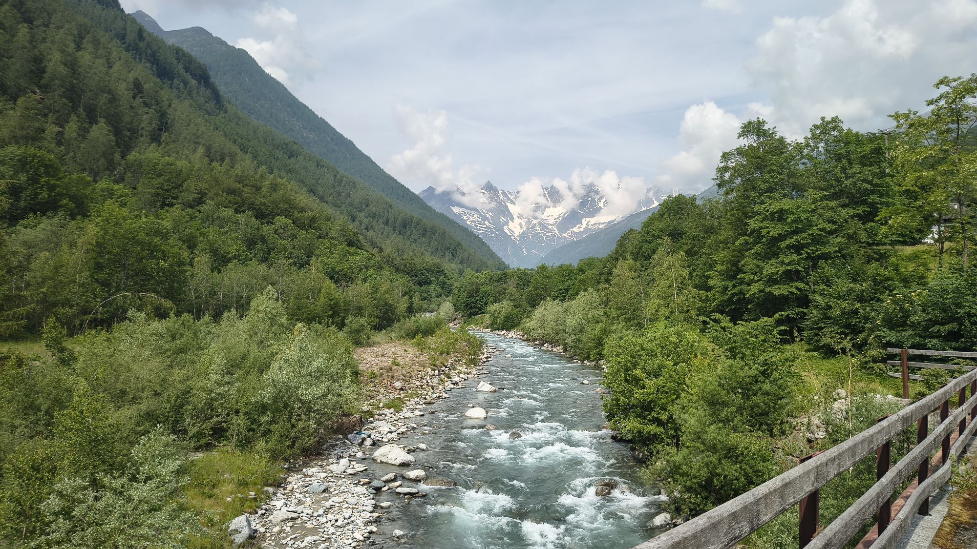
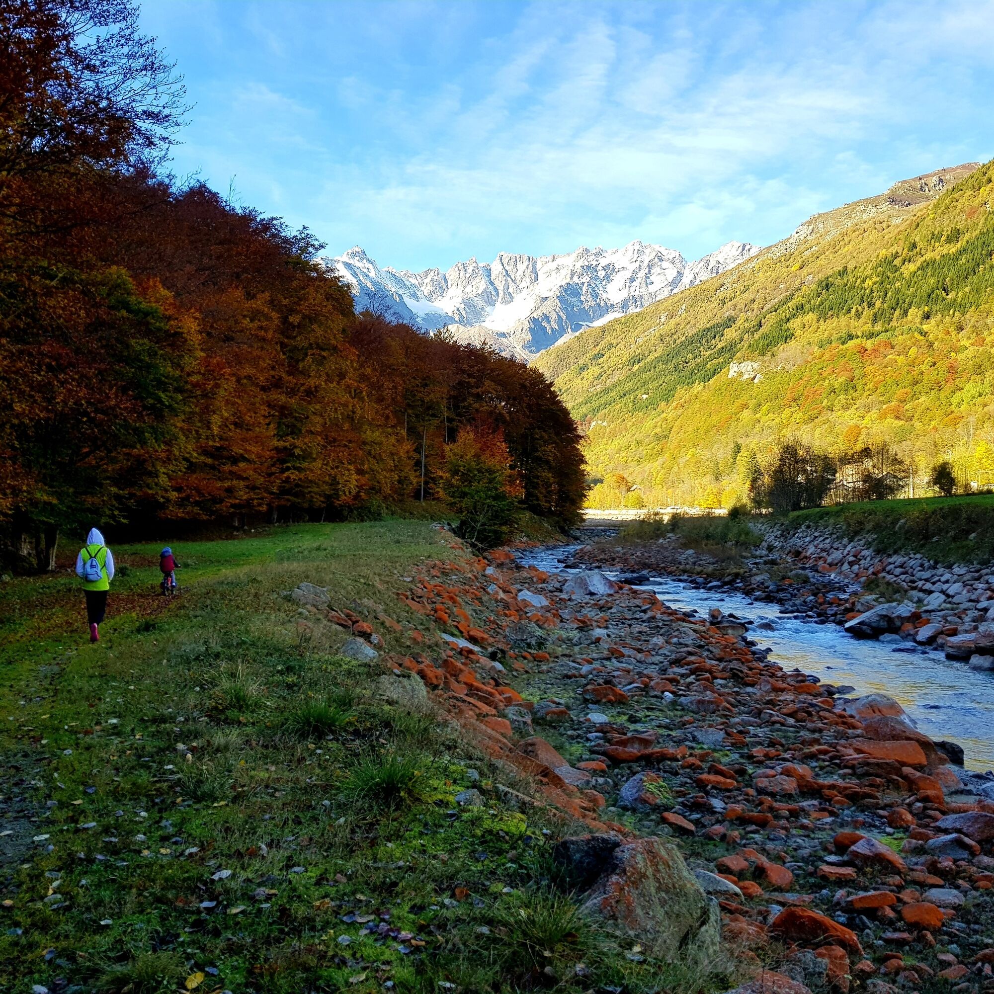
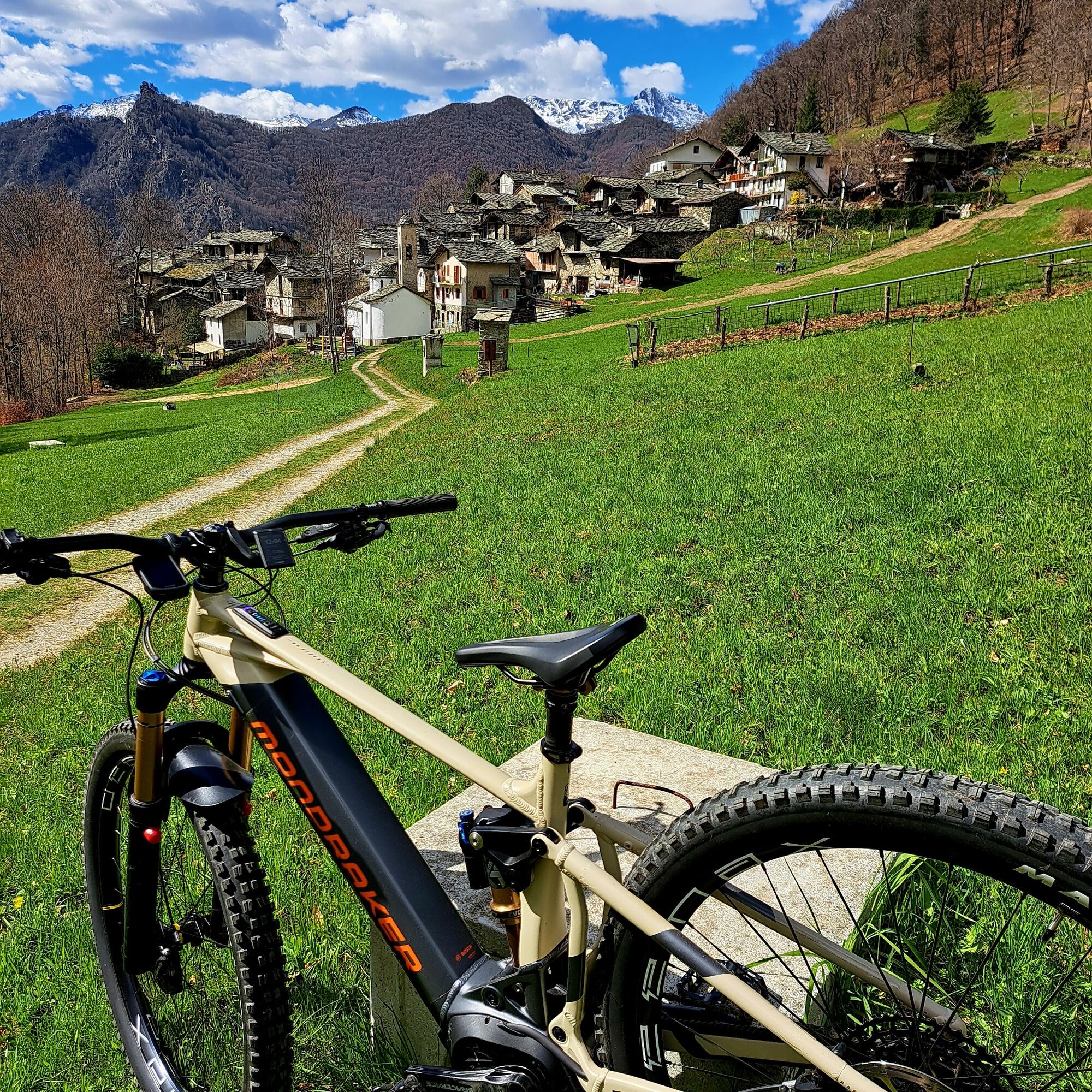
The tour starts from Ceres, from where you head to the hamlets on the orographic right bank or take advantage of the internal connections. You cross the territories of Chialamberto and Groscavallo, touching...
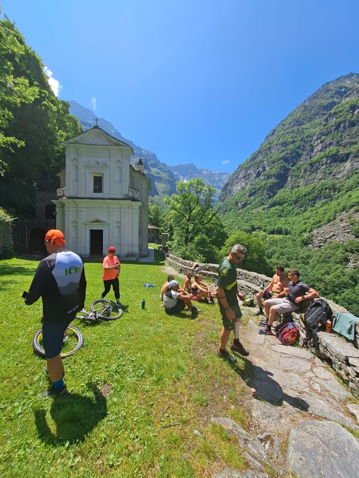
The tour starts from Ceres, from where you head to the hamlets on the orographic right bank or take advantage of the internal connections. You cross the territories of Chialamberto and Groscavallo, touching on characteristic hamlets suspended in time (Bonzo, Mottera and Campo Canavese). Here the pedaling is pleasant, alternating shady stretches with clearings bordering the Stura di Val Grande stream. The climb ends in the square of Forno, a hamlet with a typically alpine and rugged charm, surrounded by peaks that touch and exceed 3,000 meters. Famous hiking routes to the Sanctuary of Madonna di Forno (famous for its imposing staircase) and historic passes to France depart from here. The return is made by closing the partial loop by taking advantage of the smoothness of the provincial road (SP1) in the out-of-town sections, preferring a fast and relaxing descent to rest your legs, or by intercepting the flat dirt tracks that run close to the riverbed where possible.
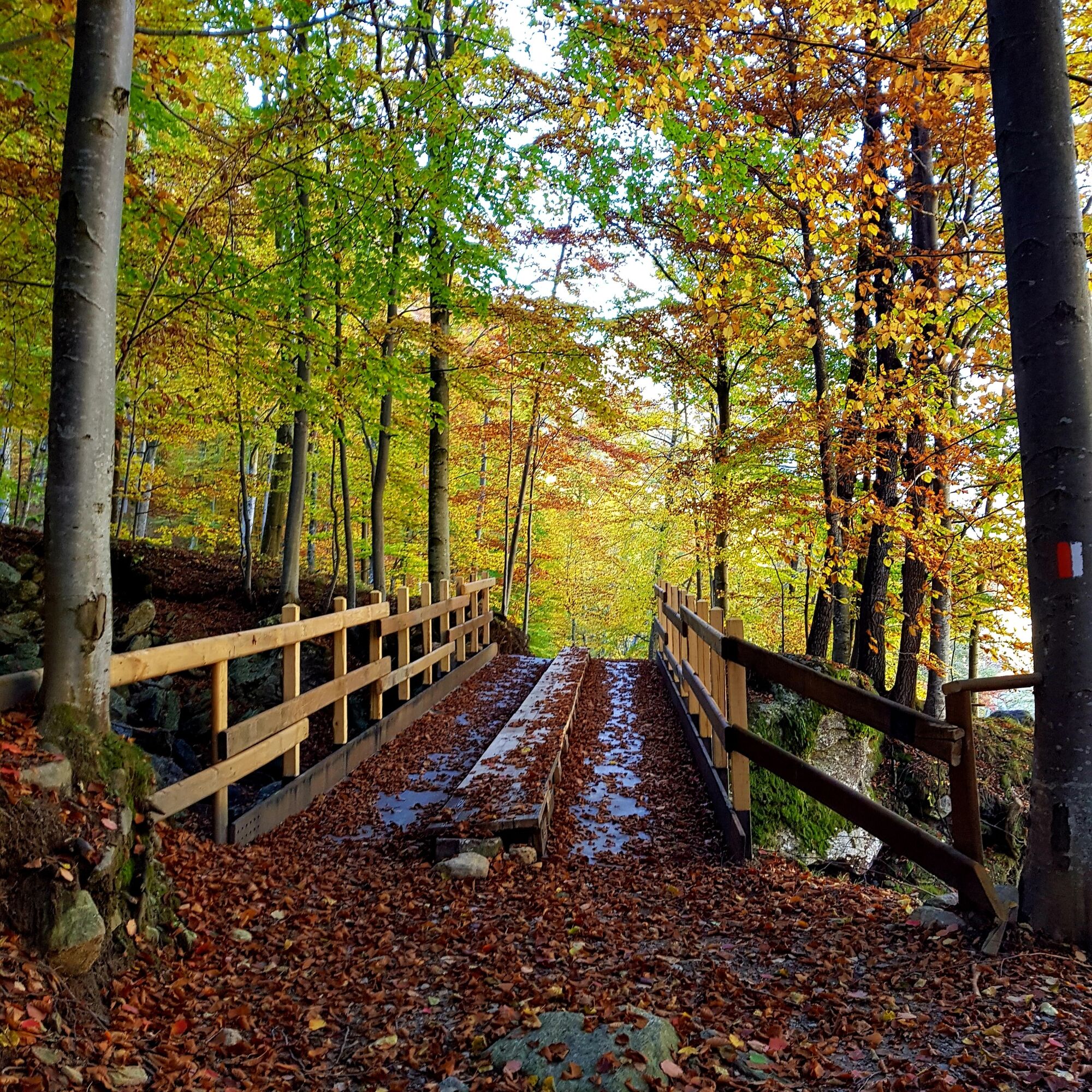

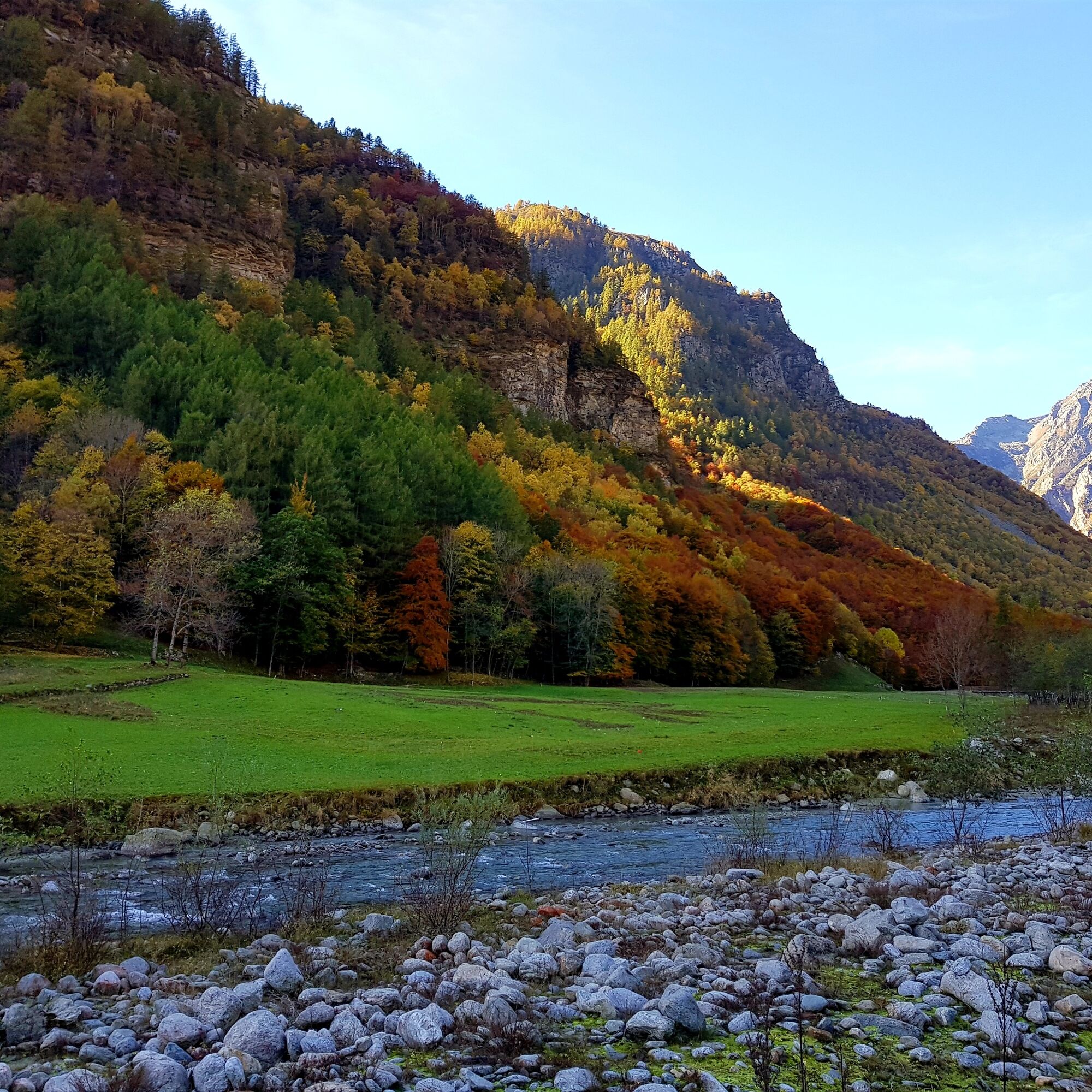
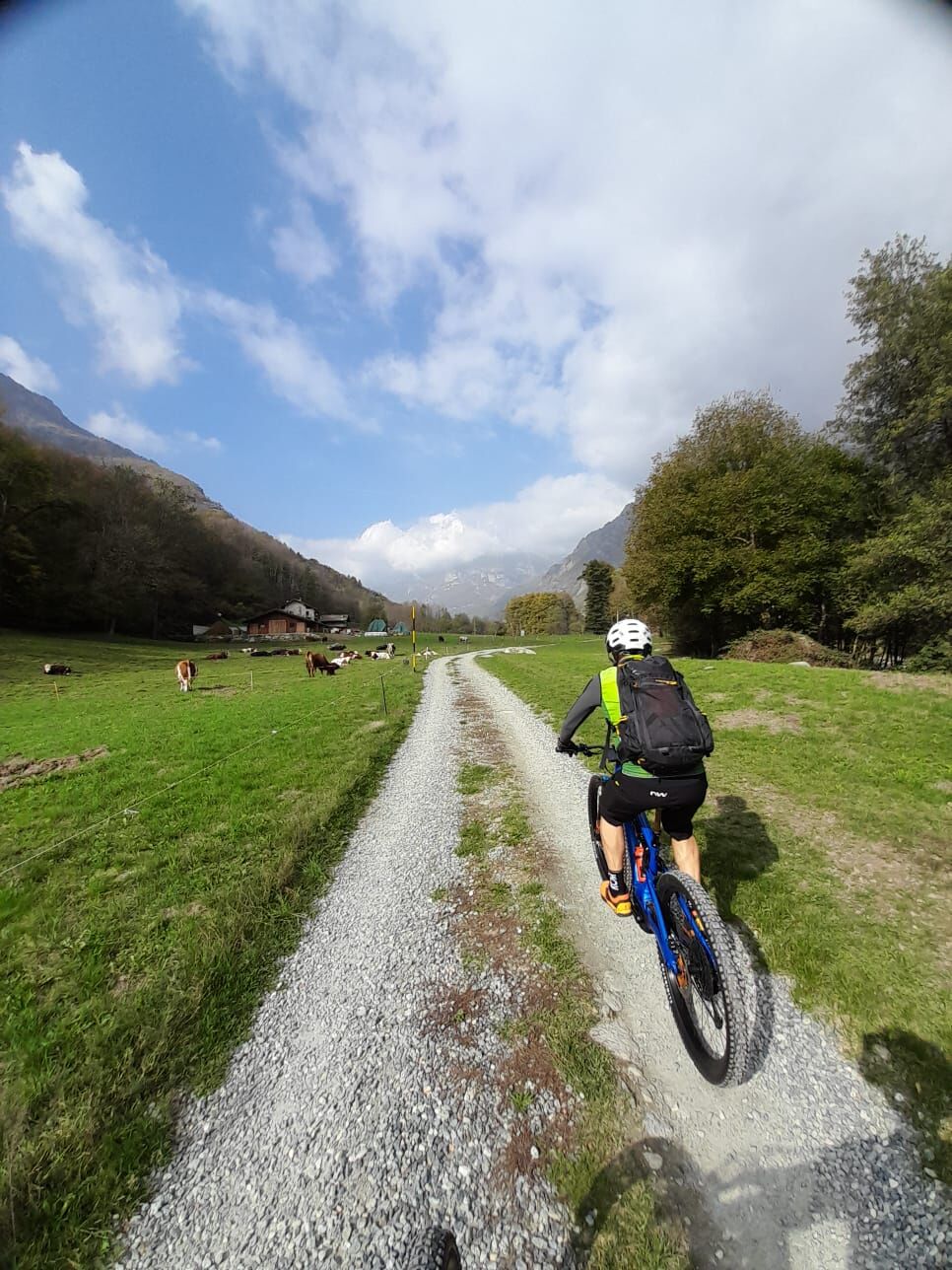
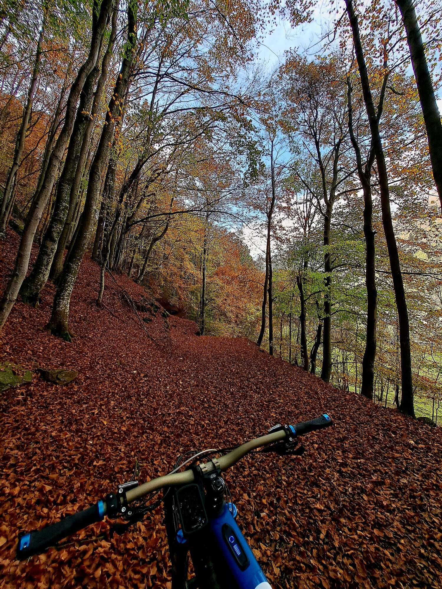
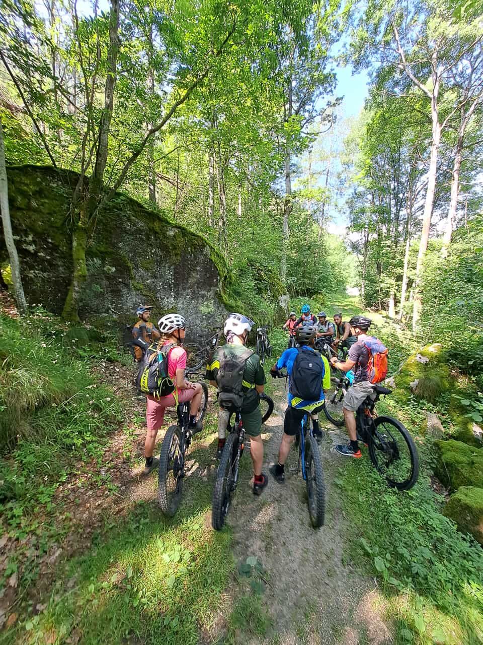
Surface: Secondary asphalt, cobblestone sections in historic villages, white farm roads and short sections of compact dirt road along the Stura River.
Difficulty (MTB): TC / MC (Tourist / Average Cyclists). Does not have technical rock passages or enduro single-track, but requires a good physical background due to the constant ascent and total distance.
Tak
Lighting and Visibility: Even if traveling during the day, the Val Grande has some tunnels along the main roadway (especially in the lower-middle section). It is mandatory and vital to have clearly visible red rear and white front lights on the bike, as well as reflective elements.
Temperature Swings: Forno Alpi Graie is located in a sunken basin where the sun soon disappears, especially in spring and fall. Although the weather is mild in Ceres, the air can be very cold in Forno. Always carry a windproof cape or sleeve in your backpack for the descent.
Road Traffic: During the summer months (July and August) and on weekends, the Val Grande SP1 can be busy with tourists and hikers. Always keep a strict right and proceed single file.
By Car: From Turin, take the Turin-Caselle freeway link road (RA10), exit at Caselle and take the SP2 towards Ciriè/Lanzo Torinese. After passing Lanzo, continue straight on SP1 meeting Germagnano and Pessinetto, until you reach the junction for Ceres. (Approximately 50 km, 55 minutes from Turin).
By Train: Ceres is the historic terminus of the SFM1 (Turin-Ceres) line. Traveling in Train+Bike mode is very convenient: you get off the carriage and you are already ready to pedal.
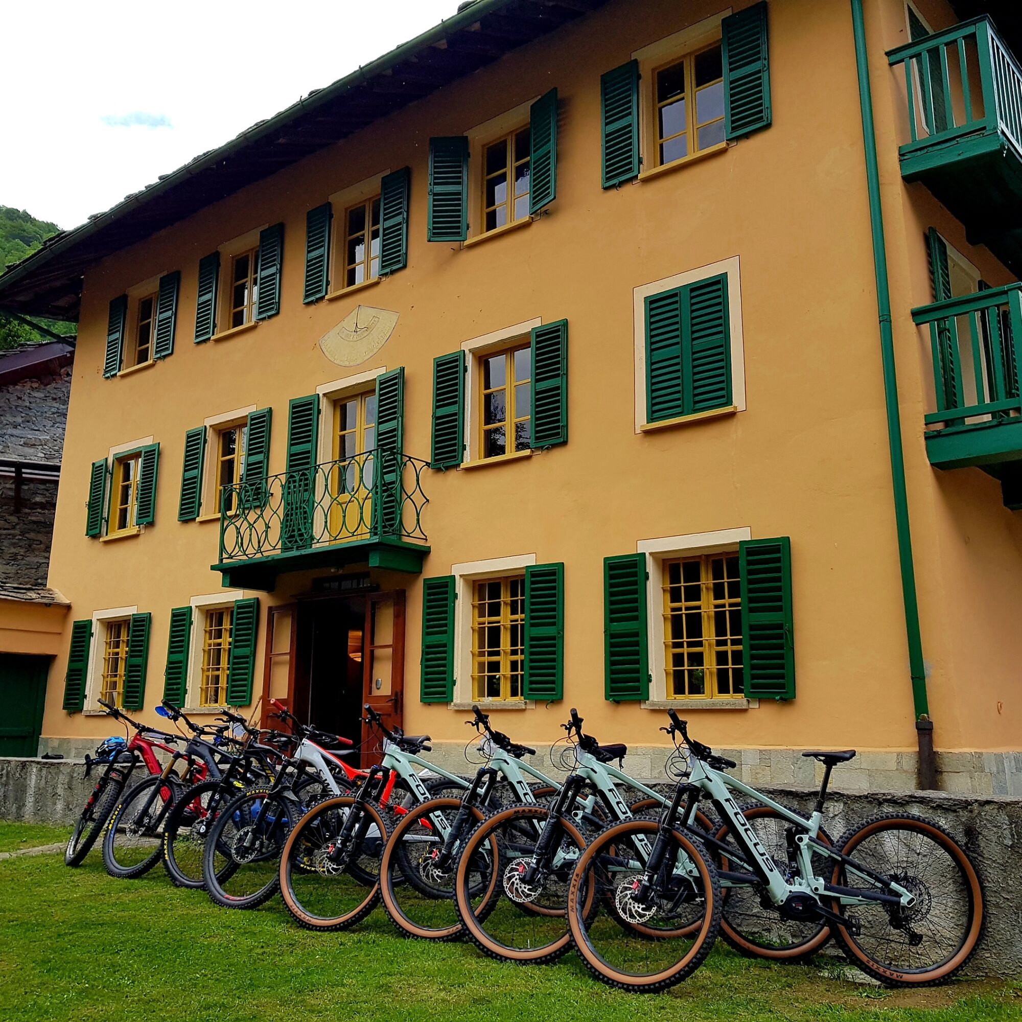
In Ceres you will find ample free parking lots near the Railway Station or in Piazza Grande, excellent logistical starting points.
S1
Book one of our MTB guides for a more immersive experience
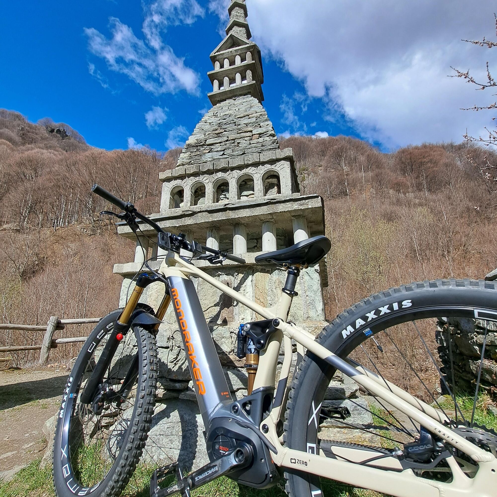
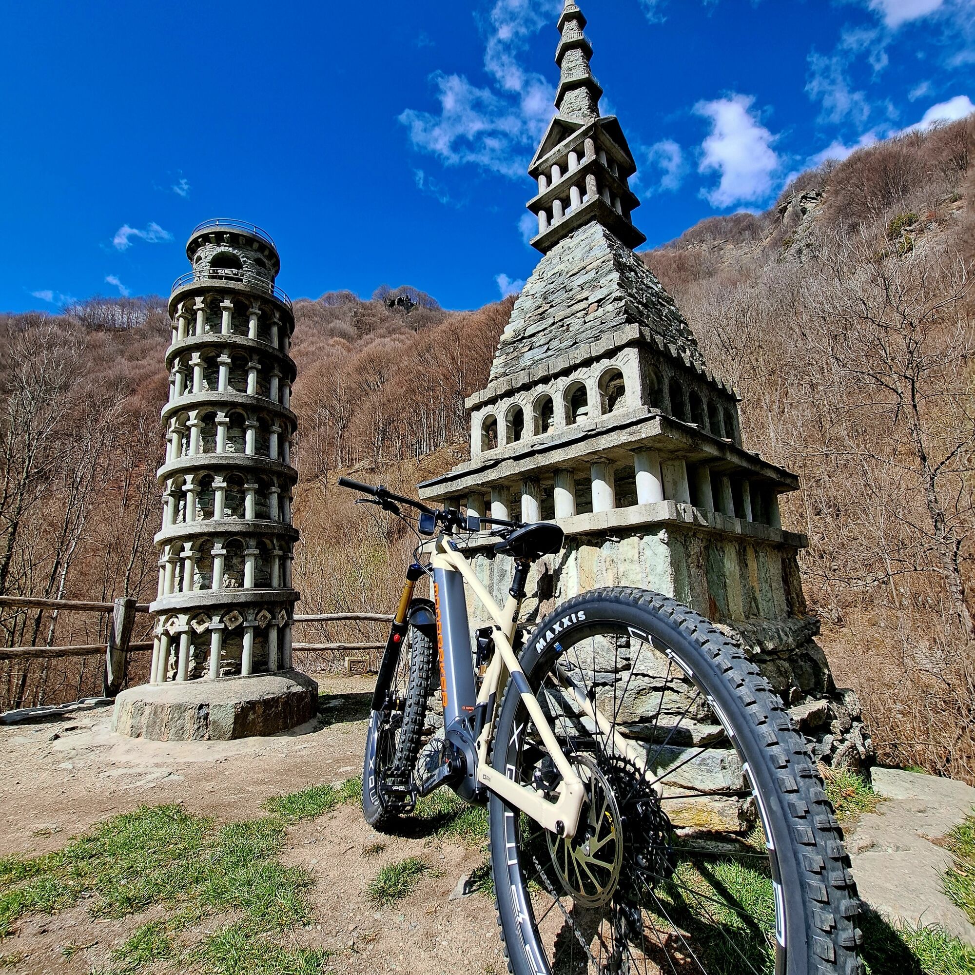
Suggested visits to the sanctuary of Forni Alpi Graie, Madonna del Ciavanis, Alboni plateau
Popularne wycieczki w okolicy
- 5,0
CERESOLE REALE Bellagarda ponds
średniWędrówka 7,60 km CERES Santa Cristina Loop
średniWędrówka 7,84 km- 5,0
BALME Green Lakes and Lago Paschiet
średniWędrówka 7,51 km - 5,0
BALME Arnas Ring - Pian della Mussa
ciężkiWędrówka 13,6 km - 5,0
LEMIE Ovarda Lakes loop
ciężkiWędrówka 15,9 km NOASCA Loop to the Noaschetta refuge
średniWędrówka 7,44 kmLake Dres - Ceresole Reale
średniWędrówka 7,24 kmCHIALAMBERTO Sanctuary Madonna del Ciavanis and roc d'le Masche from Vonzo
średniWędrówka 6 kmVIU' Lake Viana from Alpe Bianca
średniWędrówka 5,56 kmGrande Traversata delle Alpi - GTA: Central Piedmont Section
średniWędrówka 318,3 km
Wędrówki i tropienie


Nie przegap ofert i inspiracji na następne wakacje
Twój adres e-mail została dodana do listy mailingowej.