


Lake Dres - Ceresole Reale
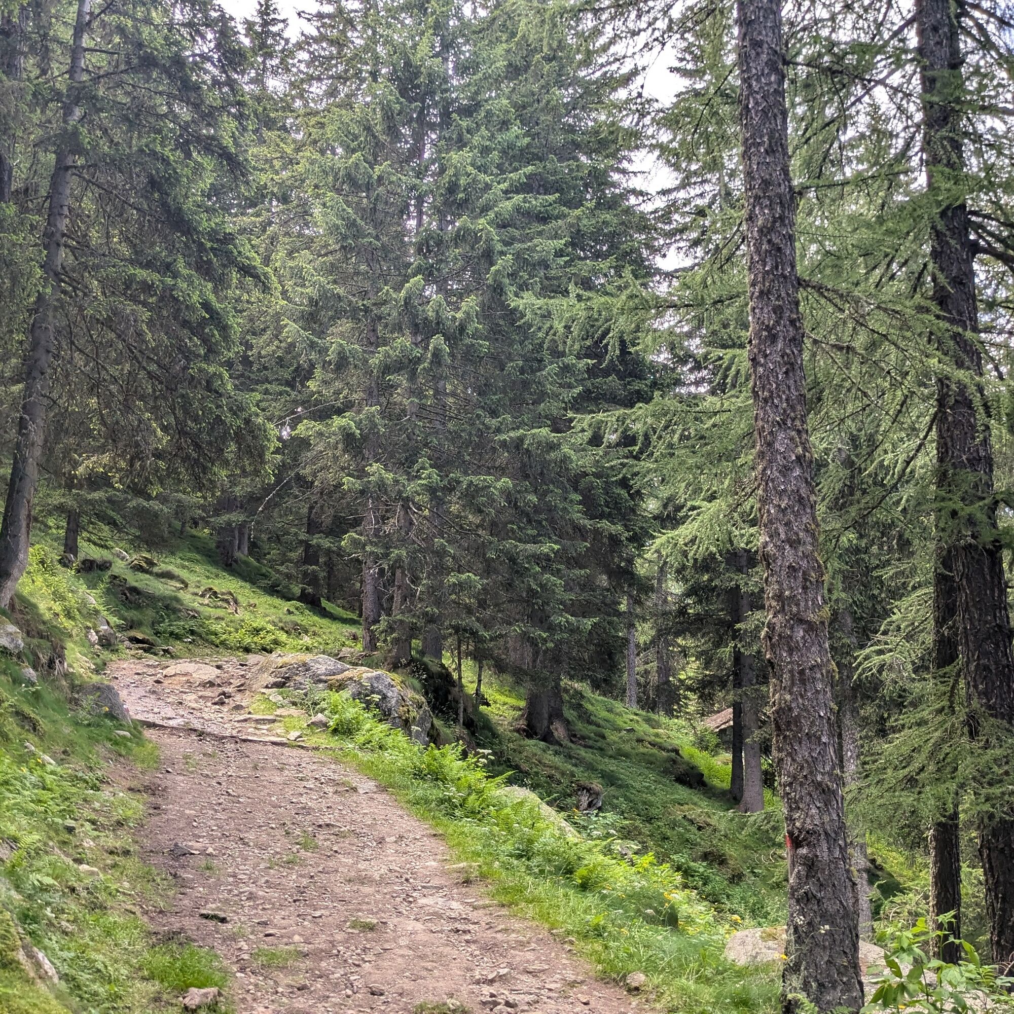
The hike starts from the large artificial lake of Ceresole Reale and climbs a beautiful coniferous forest (larches, white and red firs, Swiss pine) via a trail that is never technically difficult.
Before...
The hike starts from the large artificial lake of Ceresole Reale and climbs a beautiful coniferous forest (larches, white and red firs, Swiss pine) via a trail that is never technically difficult.
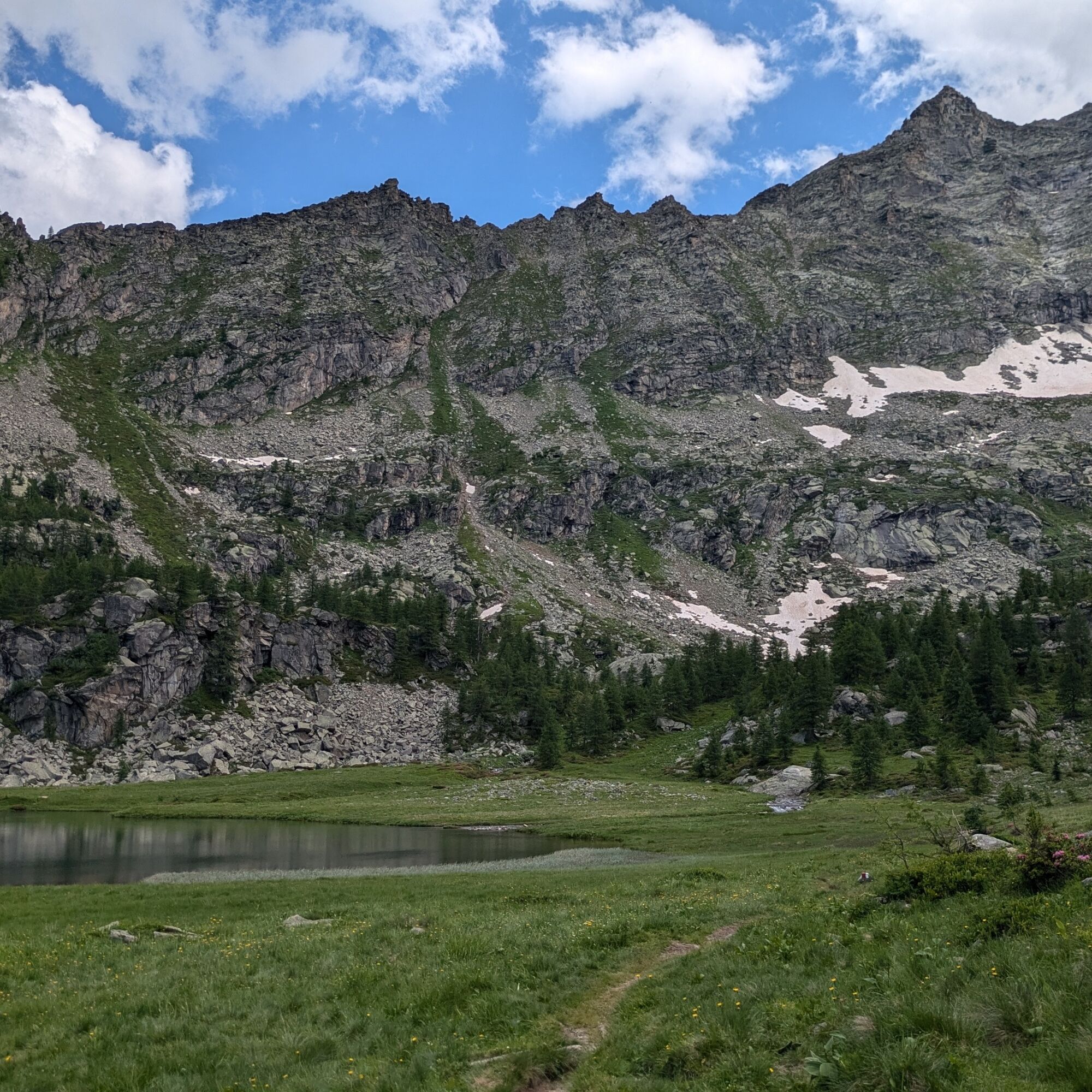
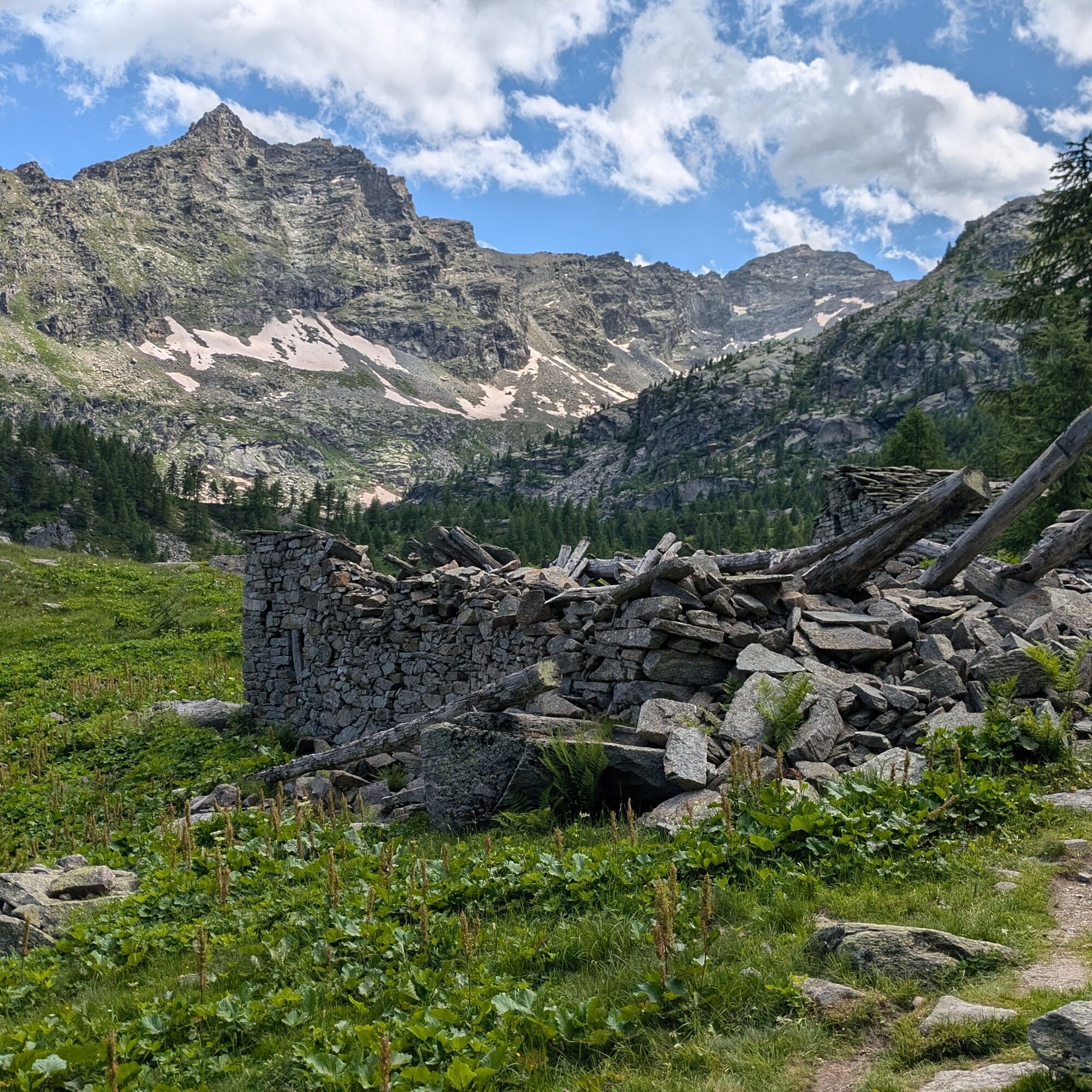
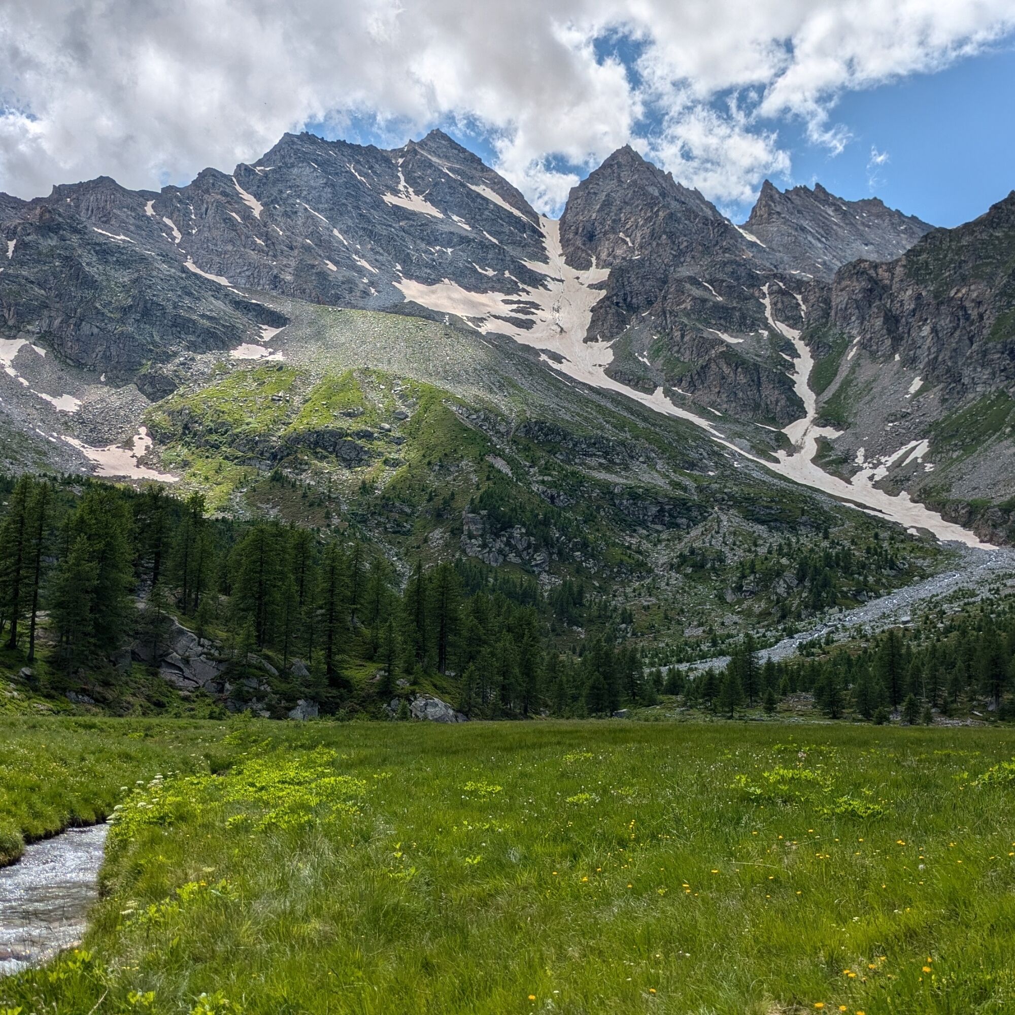
Before reaching the lake, you cross a peatland area and ancient alpine pastures. The water of Lake Dres fills a basin left by an ancient glacier near the rocky Levanna Orientale and hosts a population of common frogs. From the lake, you can admire a stunning view of the surrounding mountains, with the Gran Paradiso summit peeking out on the opposite side of the valley. There is the possibility to walk around the lake on a trail track and rest on the grass surrounding its shores.

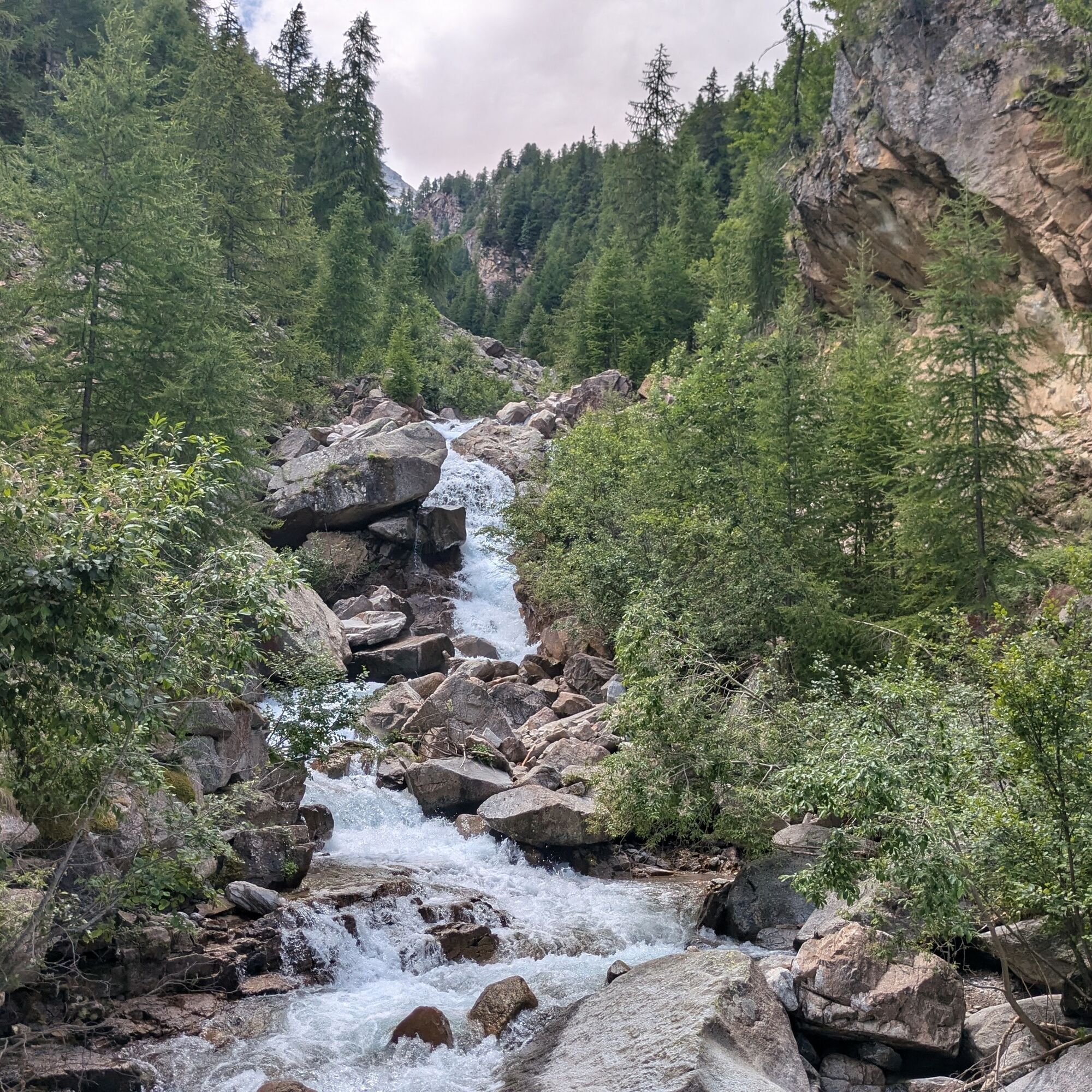
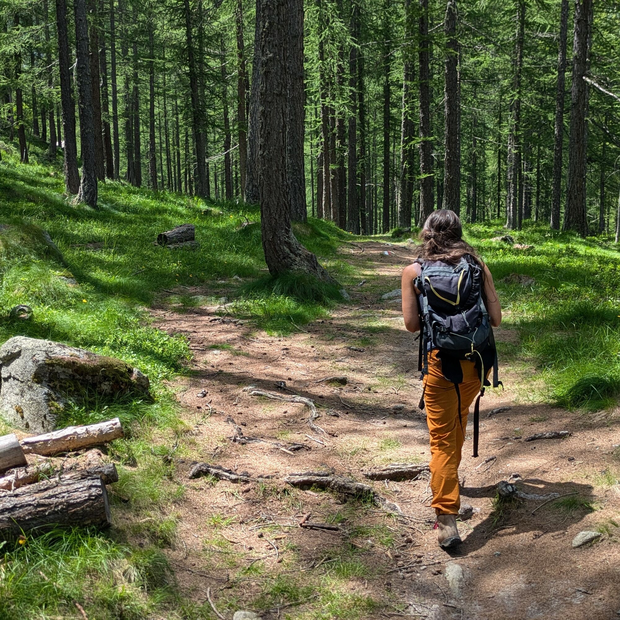
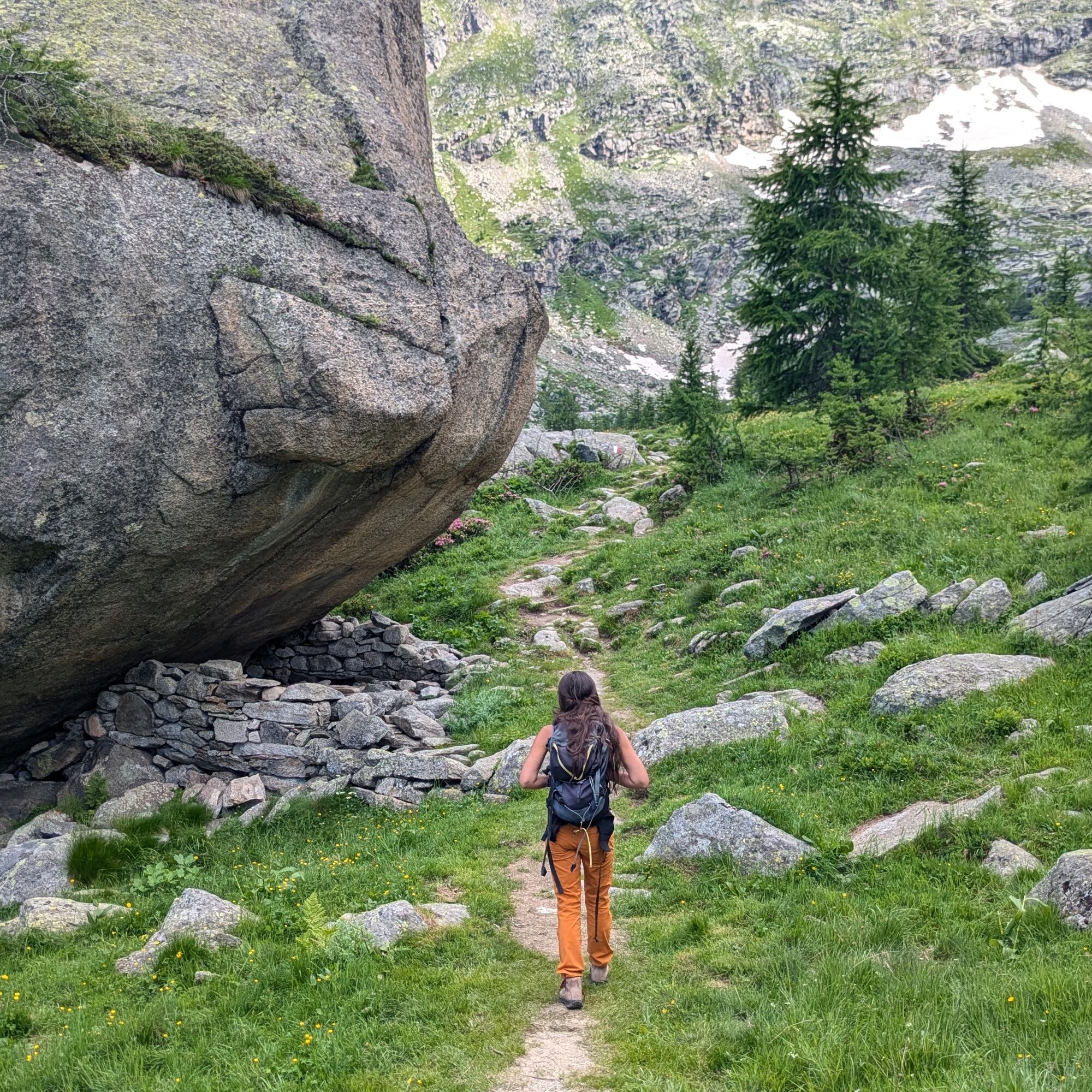
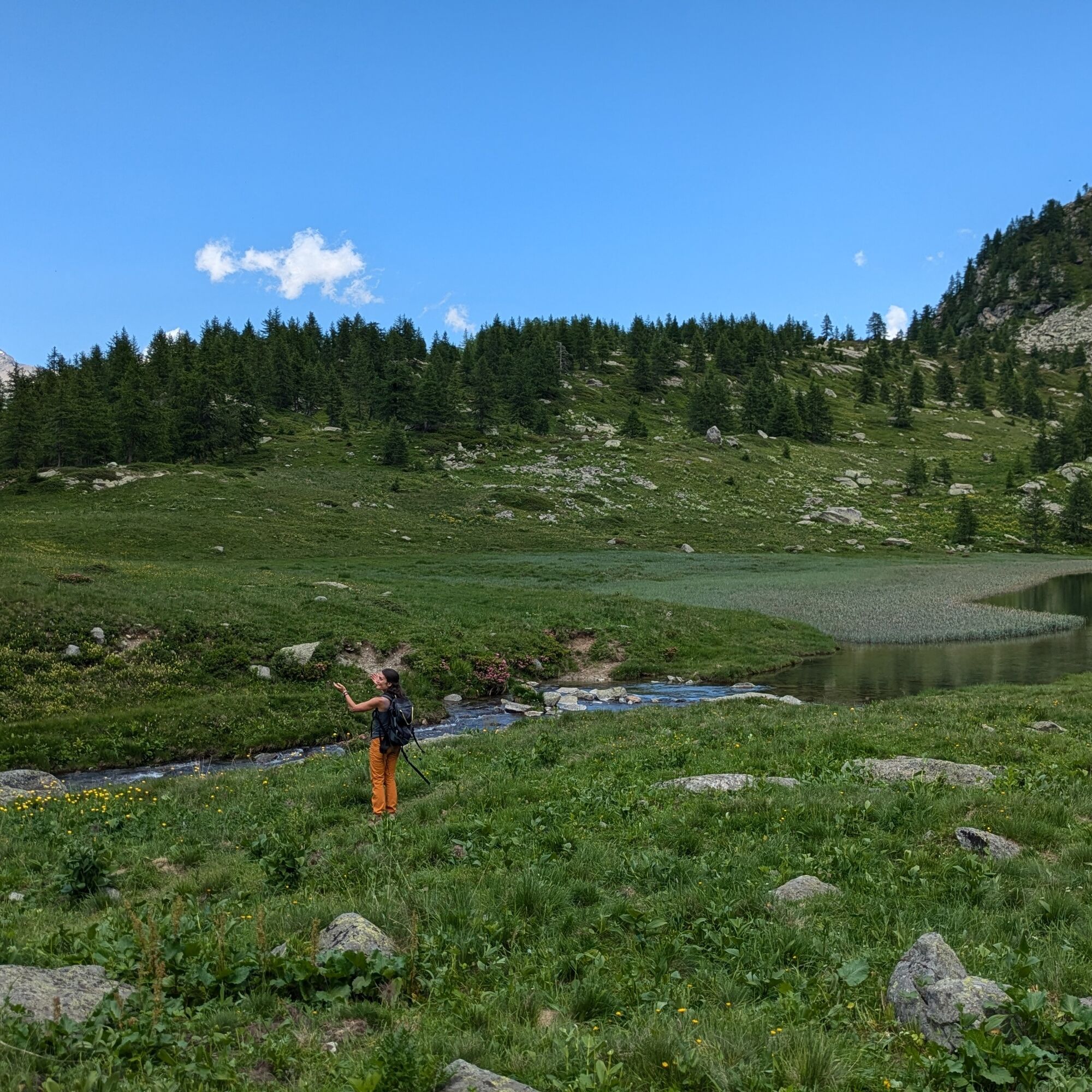
Near Villa Poma, on the shores of Lake Ceresole, a wide path starts. Shortly after, at a fork, continue keeping slightly to the right (signs for Lake Dres). Further ahead, cross the Dres stream and continue climbing through the forest. At a fork (about 1929 m) turn left following the signs for the lake. The forest gives way higher up to pastures, and after a huge rock, you arrive near the lake.
The return is along the ascent route.
Tak
Non-slip sole footwear, wind/rain protection, a warm layer, water and food supply, first aid kit, hat, and sunglasses are recommended.
There are no refreshment points along the route, so you need to bring water and food supplies.
Travel through the entire Orco Valley up to the municipality of Ceresole Reale. After the Gli Scoiattoli hotel, turn left to reach the Fonti Minerali area where you can leave your car. From there, a dirt uphill road (to be covered on foot) leads to the dam and about 500 m further to the trailhead.
Alternatively, continue and stop in the Pian della Balma village: park and reach the dam on foot. Cross it and turn right to find the start of the path.
It is also possible to reach the trailhead from the western side of the lake (Mila refuge) by walking the entire trail that borders the lake (about 2.5 km) and taking a path that connects to the previously described route before arriving at Villa Poma.
Ceresole Reale is reached by GTT bus line 5137. Use stop 26013 (newsagent) and cross the lake dam. Once reached the right hydrographic bank, turn right on a dirt road until you meet the beginning of the path.
Immediately after the Le Fonti stop, there is a large parking area.
For information regarding the Gran Paradiso Natural Park, consult its website
For all tourist information, consult the Turismo in Canavese web portal.
Before undertaking any hike, it is recommended to check weather bulletins or ask for information at local Tourism Offices.
It is good practice not to hike alone and always inform someone about your destination.
Do not litter but carry your waste with you, picking up any left by others if possible.
The indicated travel times are approximate and may vary based on weather conditions and your abilities.
Start from the Le Fonti refuge, where there is a naturally sparkling mineral water spring.

Popularne wycieczki w okolicy
-
5,0
Gran Paradiso über Rifugio Vittorio Emanuele II.
średniWycieczka wysokogórska 10,1 km -
3,3
Pont Le Breuil - Rifugio Vittorio Emanuele
średniWędrówka 10,5 km -
Gran Paradiso
Wycieczka narciarska 11,8 km -
5,0
CERESOLE REALE Bellagarda ponds
średniWędrówka 7,60 km -
5,0
The Grand Méan lake via the Evettes circus
ciężkiWędrówka 13,6 km -
NIVOLET PASS Lakes Rosset, Leità and Chanavey
średniWędrówka 4,45 km -
NOASCA Loop to the Noaschetta refuge
średniWędrówka 7,44 km -
5,0
Vie Storiche di Montagna | Colle del Nivolet
ciężkiDroga rowerowa 18,5 km -
CHIALAMBERTO Sanctuary Madonna del Ciavanis and roc d'le Masche from Vonzo
średniWędrówka 6 km -
PIALPETTA Val Grande Balcony Trail loop
średniWędrówka 13,1 km
Wędrówki i tropienie


Nie przegap ofert i inspiracji na następne wakacje
Twój adres e-mail została dodana do listy mailingowej.