


BAGNOLO P.TE Route of the quarries
Poziom trudności: S2
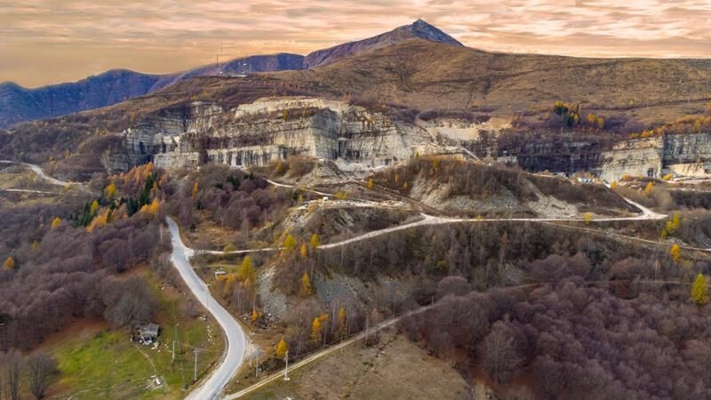
The area in which the famous and valuable stone is quarried is between the Infernotto Valley and the valley of the Luserna Torrent, on the slopes of the spectacular Punta Ostanetta.
A typical MTB Cross...
The area in which the famous and valuable stone is quarried is between the Infernotto Valley and the valley of the Luserna Torrent, on the slopes of the spectacular Punta Ostanetta.
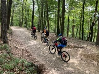
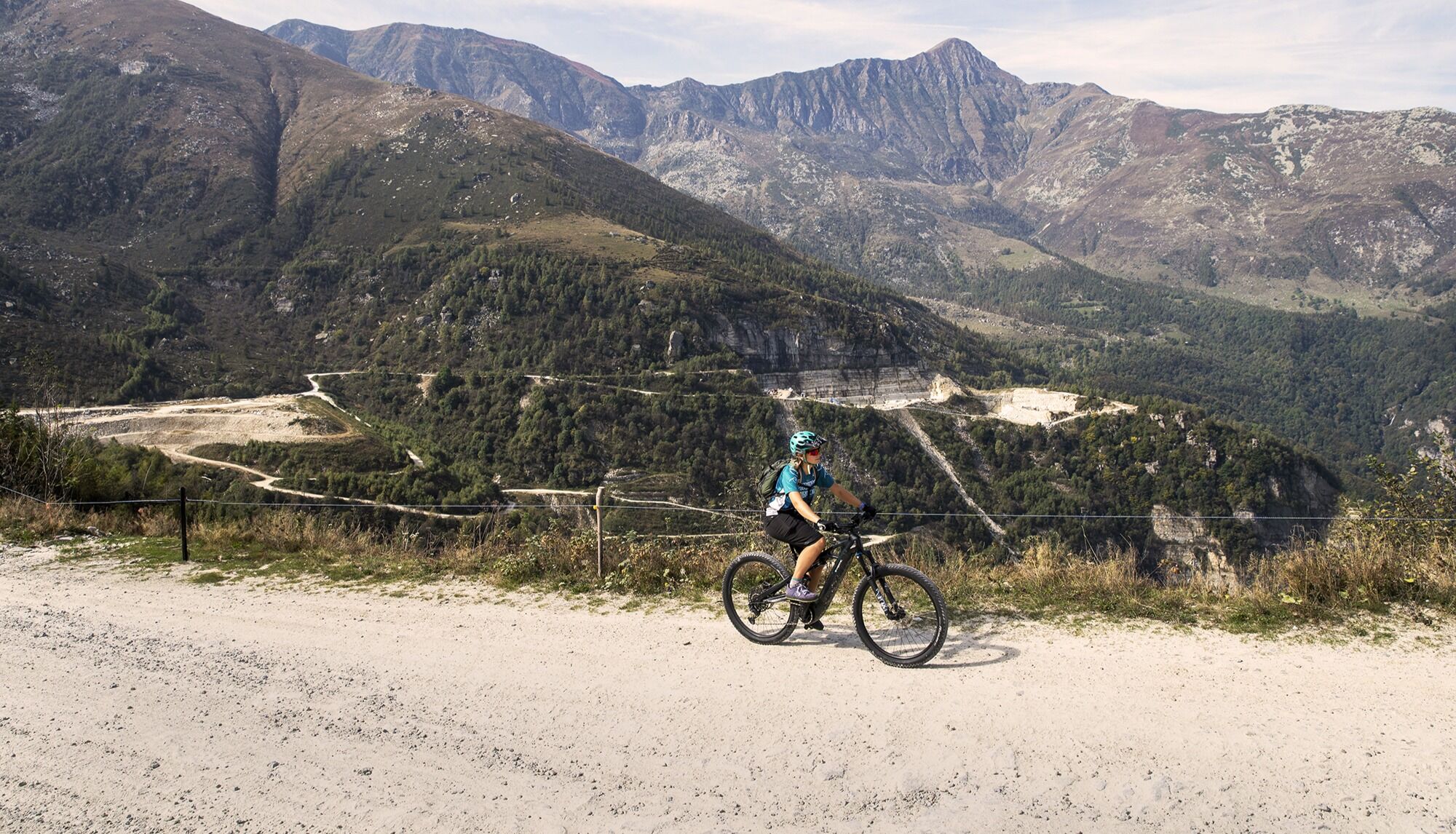
A typical MTB Cross Country loop with a good elevation gain and a great variety of landscapes, straddling the Cuneo and Turin areas. From Bagnolo (365 m) to Montoso (1,250 m), a popular resort town, to the 1,560 meters of the Rucas ski resort, the route tackles a considerable elevation gain with all types of terrain: asphalt, dirt, trail and finally flat bike path.
Suitable for trained bikers or those equipped with pedal-assist bikes, the route has plenty of escape routes to return to the village of Bagnolo Piemonte in bad weather.

From the former train station in Bagnolo you reach the center at St. Peter's Square, then walk along Via Confraternita and Via Don Poetto to join Via Cave. You then leave it by Via Palazzo, skirting the Malingri castle, and reach Frazione Morelli (470 m). Turning left onto Via San Defendente, continue, essentially on a paved municipal road, to the junction for Prà d'Mill Monastery (930 m).
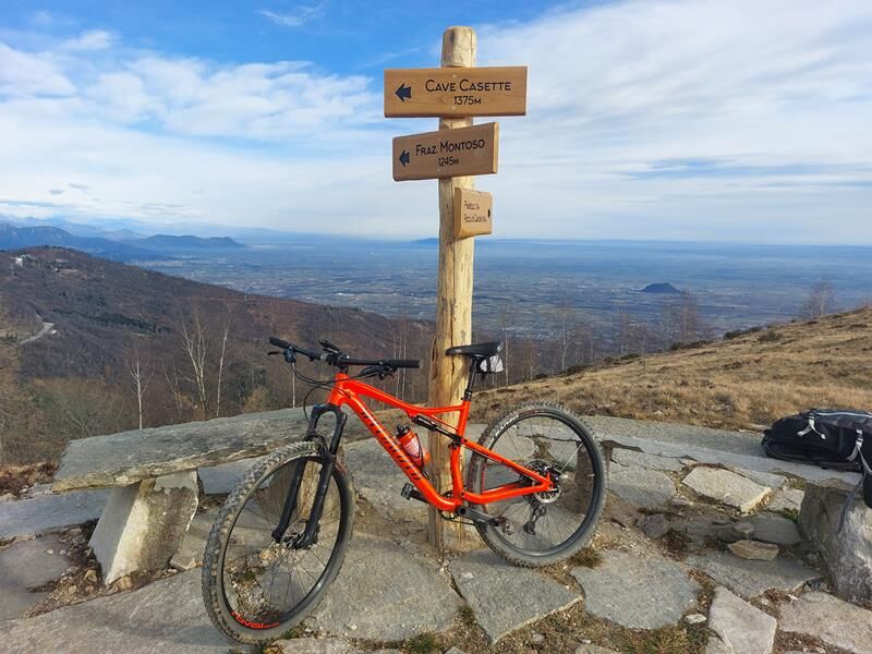
From the fork, on a dirt track passing by the Balma Oro and Cassetta quarries, you reach Bric Brusella, above the village of Montoso (1,370 m). When you reach the paved road, turn left and follow it until you reach the Rucas ski resort (1,530 m).
From the forecourt take the dirt carriage road in the direction of Pian Frollero to abandon it at an altitude of 1,400 m near Alpe Creus with a sharp right turn and continue on another dirt carriage road that passes through the Cargui locality (1,370 m) and reaches the village of Montoso (1,250 m).
Once past the village, following the paved municipal road downstream for a short distance, turn left and first along a stretch of path, then again on a dirt road to reach the Marian Sanctuary of Madonna della Neve (970 m). Continuing along the carriage road, partly on asphalt and partly on a dirt road, you reach Villaretto (370 m), a hamlet of Bagnolo Piemonte. Cross SP 27 to take Via Borgia and thus join the"La via della pietra" bicycle path and by it reach the starting point of the loop, at the former railway station of Bagnolo.
Appropriate clothing and equipment are recommended.
Before embarking on any hike, it is advisable to consult weather reports or ask for information at local Tourism Offices.
It is good practice not to embark on a hike alone, always notify your destination.
Do not throw garbage into the environment but take it with you picking up any garbage left by others.
The hiking times given are approximate and may vary depending on weather conditions and your own ability.
The starting point can be reached by car.
Bus www.torino.arriva.it and www.cavourese.it
There are parking lots in the area.
S2
The route partly overlaps withUPSLOWTOUR's Ring 9 OF THE LUSERNA STONE.
Popularne wycieczki w okolicy
- 5,0
BOBBIO PELLICE Upslowtour - Ring 2 of the refuges
ciężkiJazda na rowerze 37,6 km - 5,0
Invincibles valley - Alpe Caugis
Wędrówka 15,3 km BRICHERASIO The Via della Pietra
światłoKolarstwo długodystansowe 11,5 kmBOBBIO PELICE Trekking in the hamlets and forests around Bobbio
średniWędrówka 7,72 km- 5,0
BOBBIO PELLICE Climb to the Barbara Lowrie Refuge
ciężkiDroga rowerowa 9,19 km TORRE PELLICE Naturalistic trail "The Jay"
światłoWędrówka 10,2 kmPRAROSTINO From Piani to Sonagliette and back - SLOWLY TOGETHER
światłoWędrówka 6,60 kmTORRE PELLICE The Shepherds' Way
światłoMountainbike 11,0 kmVILLAR PELLICE Inverso path
światłoWędrówka 5,62 kmLUSERNA S.G. Upslowtour - Angrogna Valley Ring 11
średniJazda na rowerze 35,0 km
Wędrówki i tropienie


Nie przegap ofert i inspiracji na następne wakacje
Twój adres e-mail została dodana do listy mailingowej.