







SAUZE DI CESANA Cima Bosco
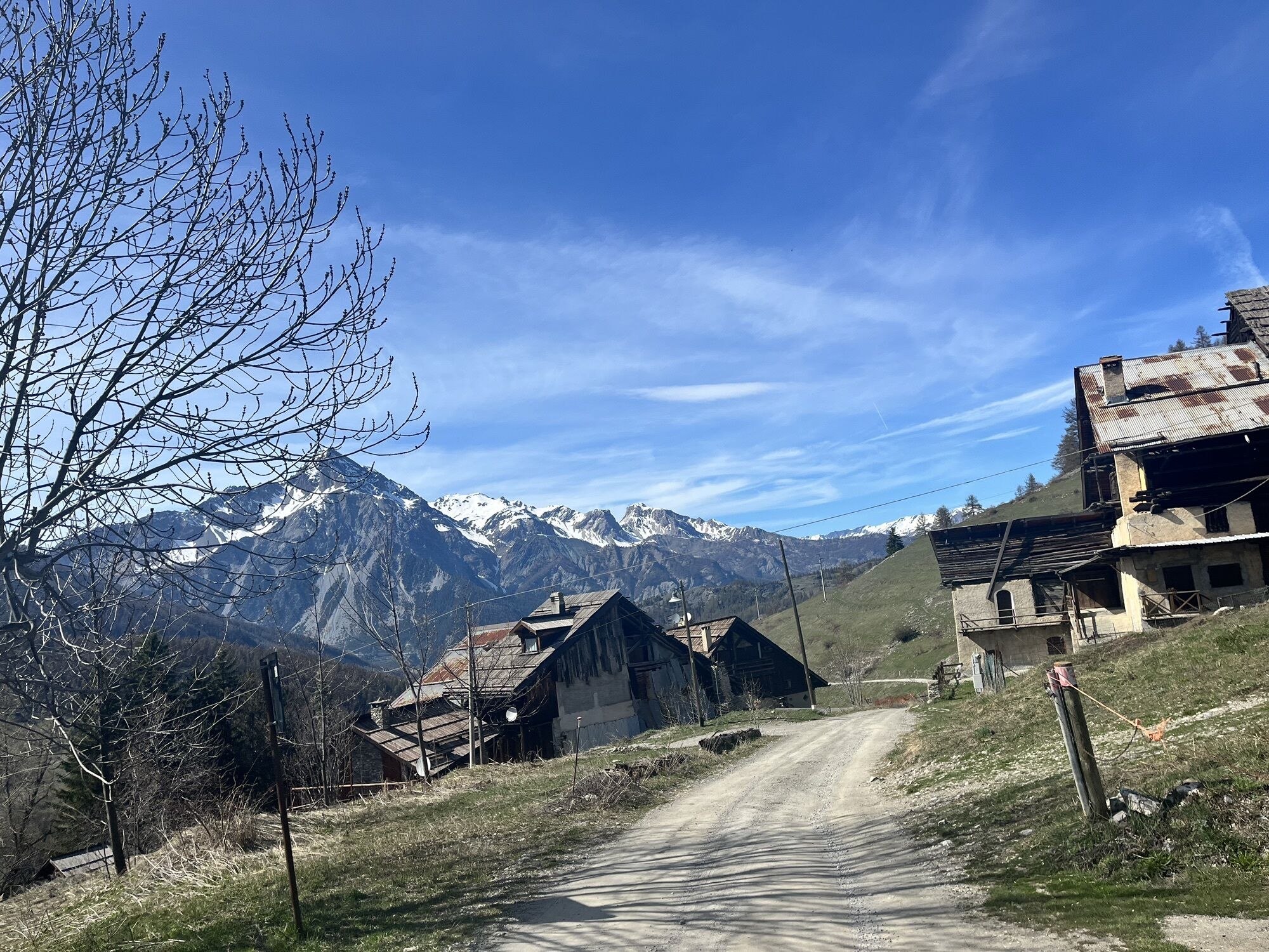
Departure from the locality of Sauze di Cesana, in the area adjacent to the Ripa stream: from here, a dirt road starts the climb to reach Cima del Bosco, a mountain located at the confluence of the Argentera...
Departure from the locality of Sauze di Cesana, in the area adjacent to the Ripa stream: from here, a dirt road starts the climb to reach Cima del Bosco, a mountain located at the confluence of the Argentera and Thuras valleys.
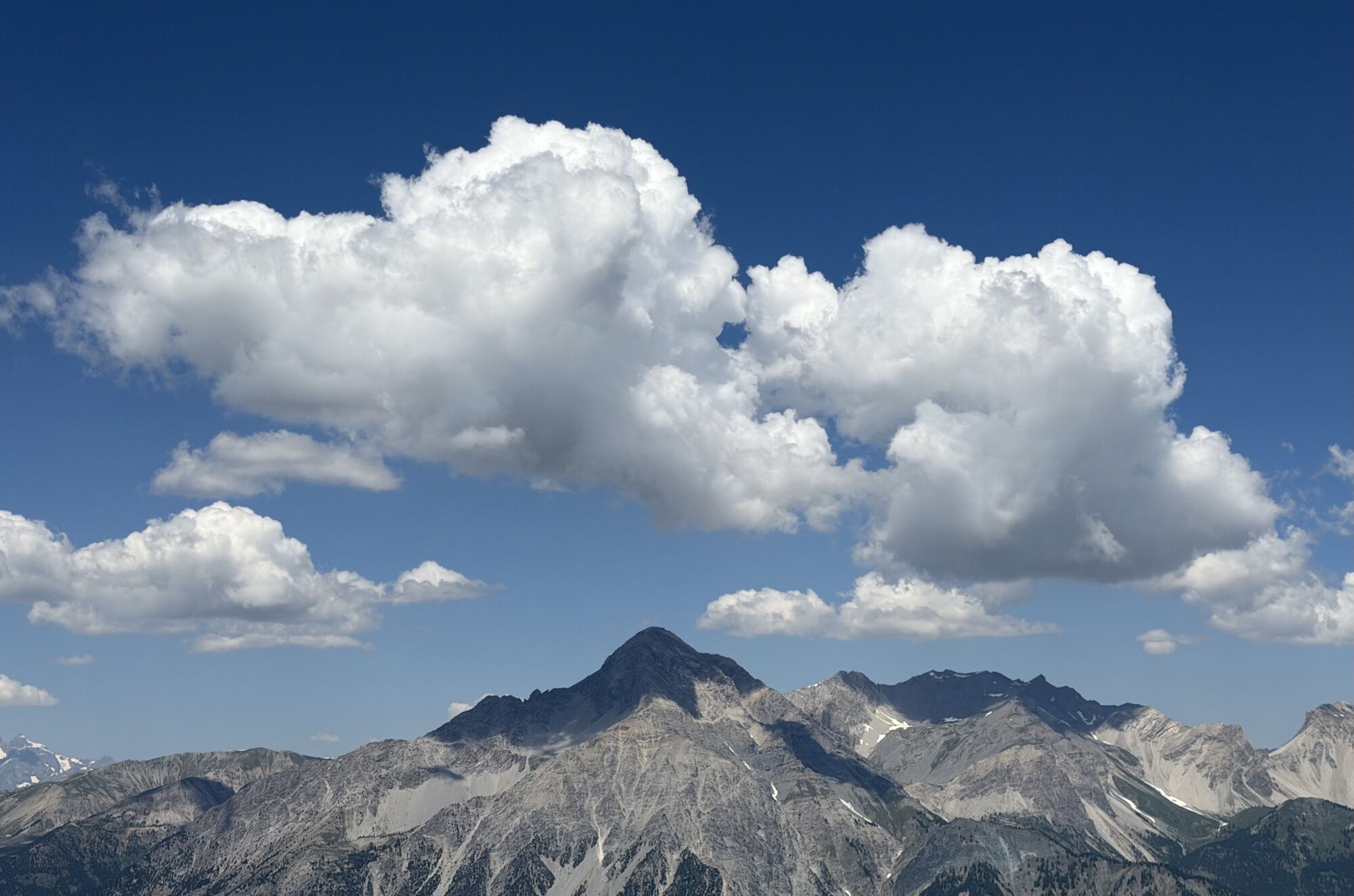
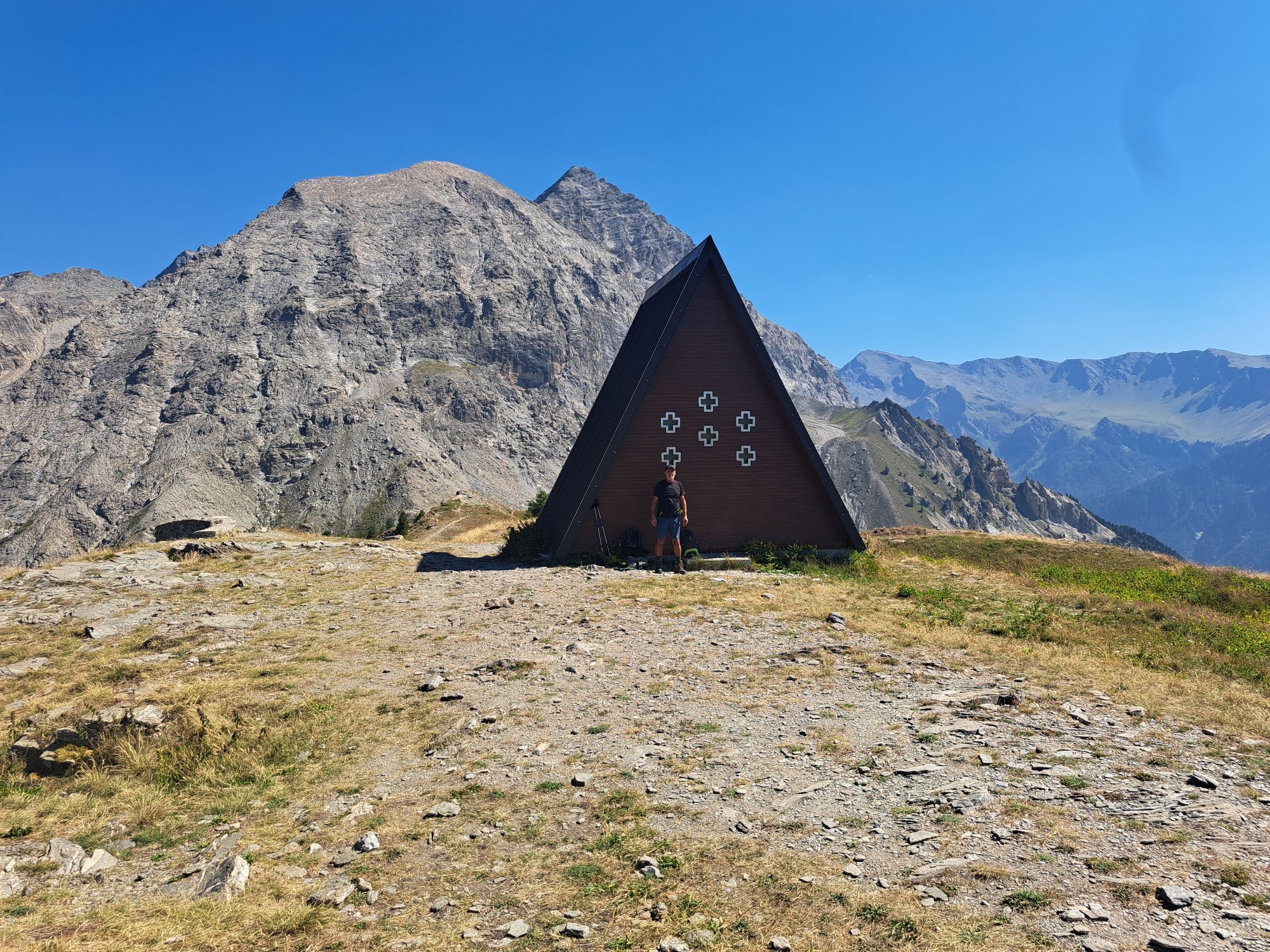
The route maintains a constant slope for most of the way inside a forest, offering us shelter from the sun in the warmer seasons. The ascent ends at 2380 meters, reaching the chapel located at the top of the mountain. The position of this summit allows us to have the whole surrounding space free, as if we were on a balcony to admire the panorama of the upper valley.
The descent takes place on a path that offers fun and reaches the charming village of Thures, from where, along the asphalt road, you reach Bousson and with a final stretch of a few kilometers return to the starting point.
Support and technical description by Jacopo Spatola - Bike tour guide


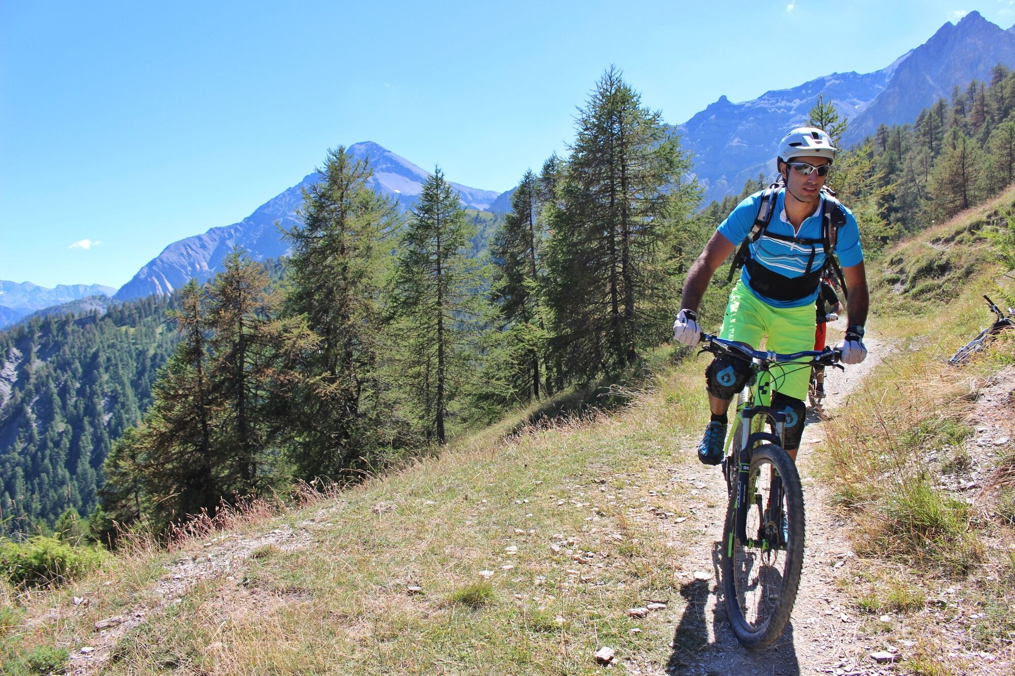
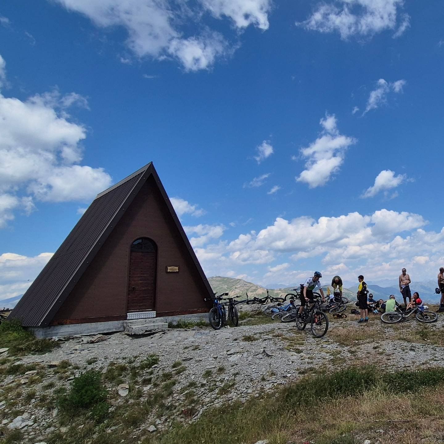


Departure from the locality of Sauze di Cesana, in the area adjacent to the Ripa stream: from here, a dirt road starts the climb to reach Cima del Bosco, a mountain located at the confluence of the Argentera and Thuras valleys. The route maintains a constant slope for most of the way inside a forest, offering shelter from the sun in the warmer seasons. The ascent ends at 2380 meters, reaching the chapel located at the top of the mountain.
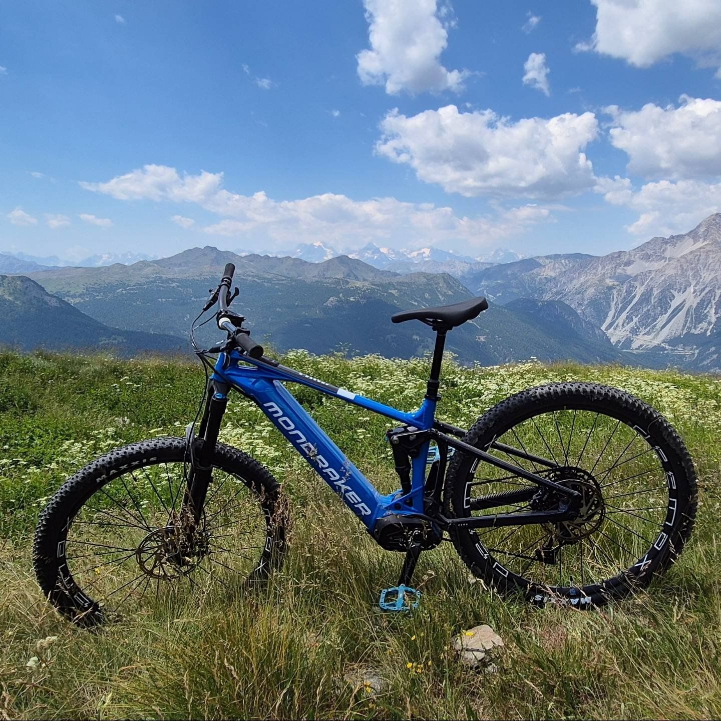
The position of this summit allows us to have the whole surrounding space free, as if we were on a balcony to admire the panorama of the upper valley.
The descent takes place on a path that offers fun and reaches the charming village of Thures, from where, along the asphalt road, you reach Bousson and with a final stretch of a few kilometers return to the starting point.
Tak
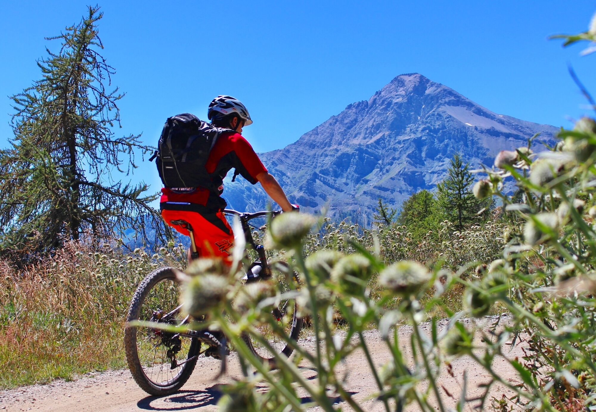
Route suitable for MTB / E-bike for the less trained
CAI classification: BC
Route also frequented by hikers - regulate your speed and pay attention.
From Turin follow the signs for the North Ring Road towards Trafori - Frejus. Take the A32 motorway towards Bardonecchia and exit the motorway at Monginevro Sestriere exit. At the tunnel exit continue to the right towards Cesana and then Sauze di Cesana
Accessible by public transport.
Train from Torino P.N to Bardonecchia (stops at Oulx-Cesana-Claviere-Sestriere) + Bus Arriva line 285 from Oulx to Cesana, stop Sauze di Cesana
Parking available near the start of the route, in the area of the restaurant "Il Ristorantino di Rollieres"
A classic "climb to descend" trip which, although challenging, always has its charm and never tires!
Uzyskaj wgląd
Zawsze na żywo z ponad 9 500 kamer internetowych. bergfex Jako użytkownik Pro, możesz teraz zobaczyć odpowiednie kamery internetowe dla wielu wycieczek w aplikacji wycieczki od. Pozwala to na bezpośredni podgląd aktualnych warunków.

Popularne wycieczki w okolicy
-
GR®58 Tour du Queyras
średniWędrówka 114,0 km -
BARDONECCHIA - Loop Colle della Scala - Col de Montgenèvre - Colle del Sestriere
ciężkiDroga rowerowa 91,9 km -
5,0
SESTRIERE Monte Rognosa
ciężkiWędrówka 6,42 km -
CESANA T.SE Lago Nero - Seven Colors Lake
średniWędrówka 3,51 km -
SAUZE D'OULX Richardette - Montagne Seu )
średniMountainbike 19,9 km -
5,0
OULX Montagne Seu
światłoWędrówka 5,28 km -
OULX Borgata Seu (Gran Bosco Natural Park)
światłoRakieta do chodzenia po śniegu 5,93 km -
5,0
CESANA T.SE Cesana - Fenils
światłoWędrówka 4,60 km -
5,0
SESTRIERE Brugnetti-Sidoti trail rhododendron loop
światłoWędrówka 5,93 km -
PRAGELATO Colle dell'Assietta
ciężkiMountainbike 53,3 km

Wędrówki i tropienie


Nie przegap ofert i inspiracji na następne wakacje
Twój adres e-mail została dodana do listy mailingowej.





