







Mountain Historical Routes | Assietta Road
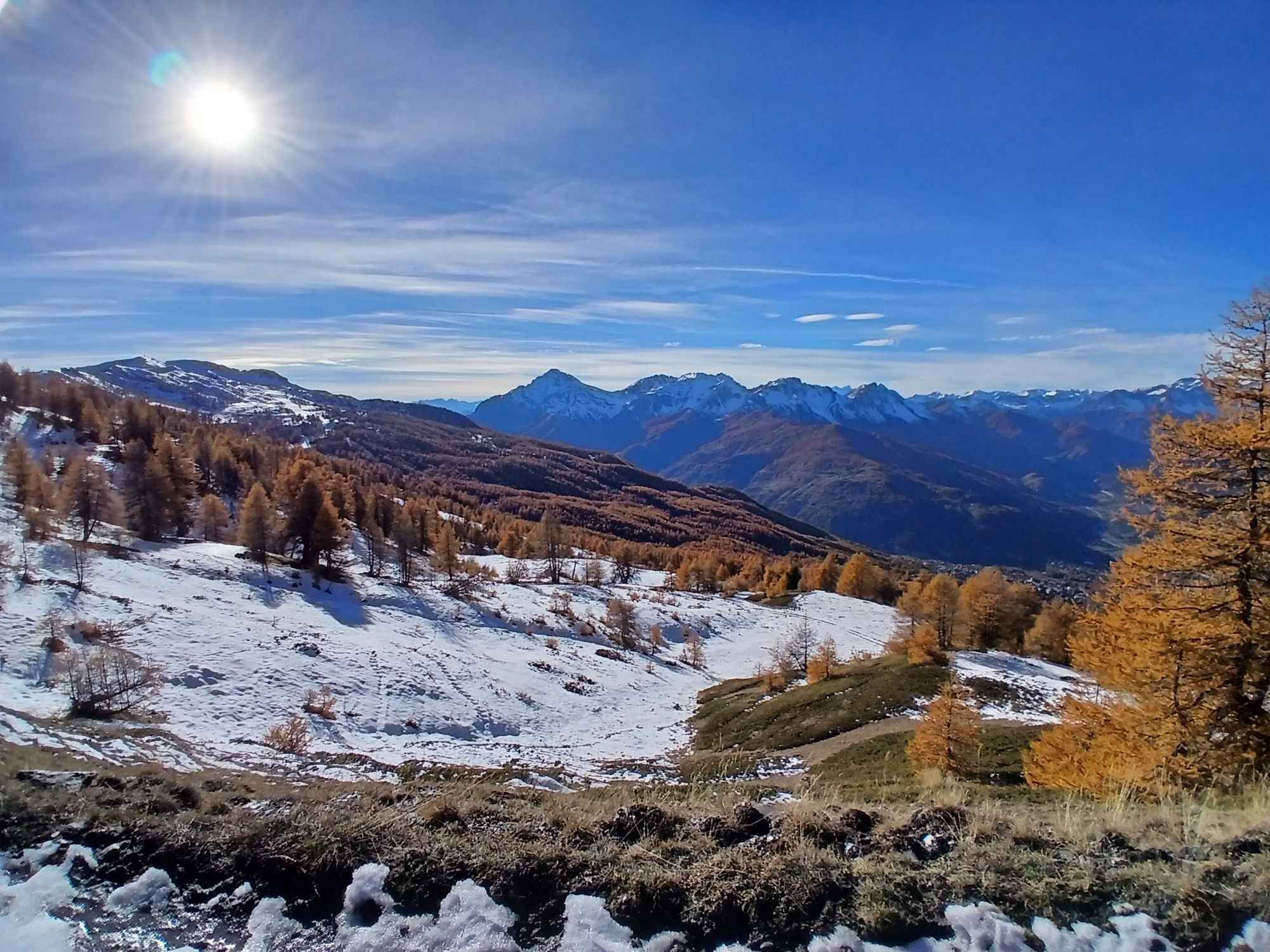
Whether you're exploring the ridges on a motorcycle or 4x4 or tackling the elevation changes on a mountain bike (or e-bike), the Strada dell'Assietta requires respect for the environment, as it lies within...
Whether you're exploring the ridges on a motorcycle or 4x4 or tackling the elevation changes on a mountain bike (or e-bike), the Strada dell'Assietta requires respect for the environment, as it lies within the Gran Bosco di Salbertrand and Orsiera Rocciavrè Natural Parks, as well as adequate training. It's a route that rewards visitors with 360-degree views of the Western Alps, offering a unique combination of sport, history, and nature.The road is part of the ValSusa Gravel Loop itinerary.

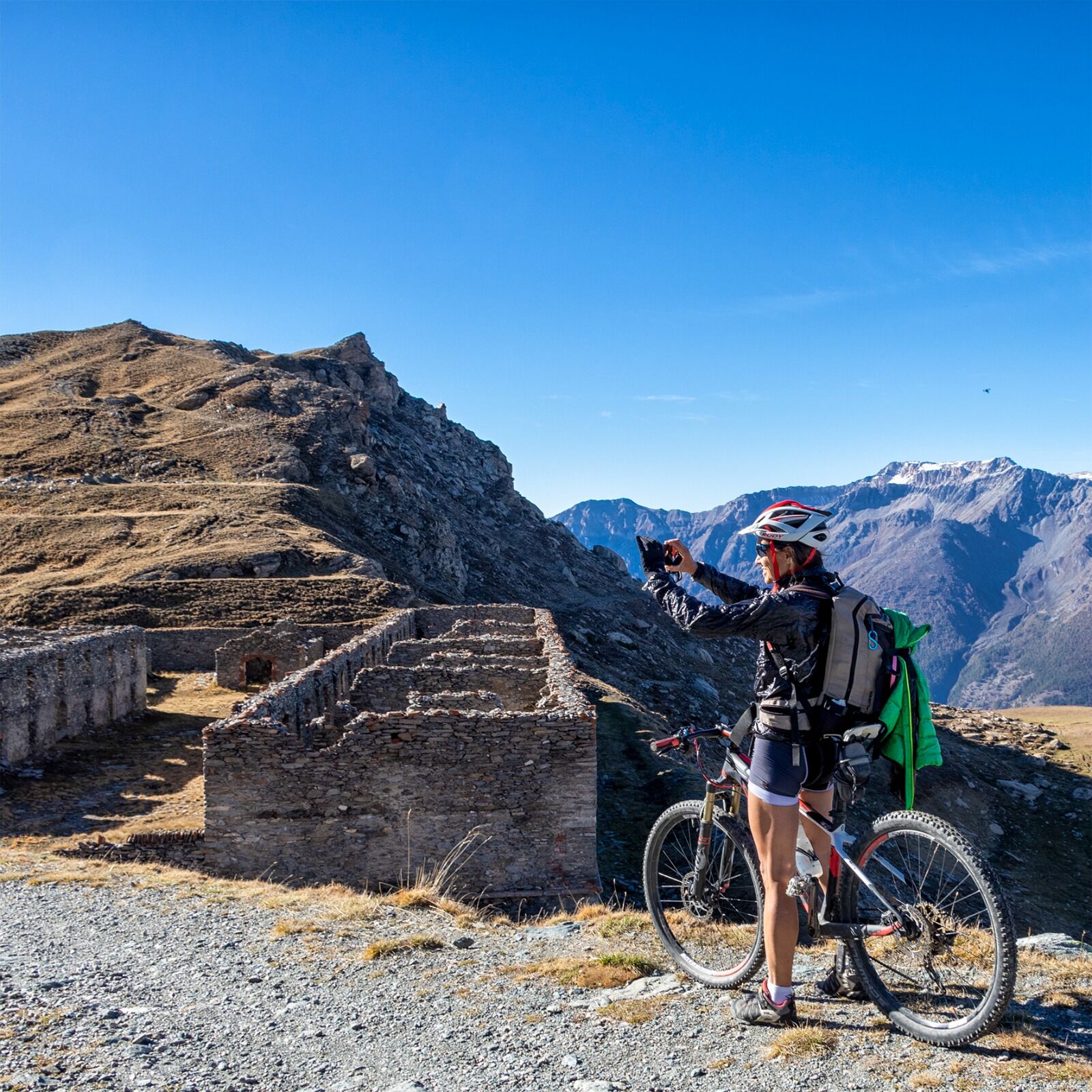

Here are the routes with different access points:From Pragelato: www.outdooractive.com
From Sestriere: www.outdooractive.com
From Sauze d'Oulx: www.outdooractive.com
Tak
â Vehicles with a gross vehicle weight exceeding 3.5 tons and a width exceeding 2 meters are prohibited.
During the months of July and August, motorized vehicles are prohibited on Wednesdays and Saturdays, days entirely dedicated to hikers and cyclists.
This watershed was the site of the historic battle of the same name on July 19, 1747, in which the vastly outnumbered Savoy troops blocked and defeated the French invaders intent on conquering Piedmont. Every year, the event is commemorated with a costumed reenactment, and the date is a regional historical anniversary. Numerous fortresses dating back to different eras line the route, forming a veritable open-air museum of the history of mountain fortifications.
Colle Basset Panoramic Viewpoint Monument to Fausto Coppi in SestriereTourist Services
E-bike and MTB rental and repairs in Sestriere, Sauze d'Oulx, and Pragelato
Campervan parking areas in Sestriere and Sauze d'Oulx
Fuel stations in Sestriere, Sauze d'Oulx, and SusaE-bike charging stations at the Sestriere and Sauze d'Oulx Tourist Offices
Where to Eat
Casa Assietta Jack Canali Refreshment PointRefreshment points in Sportinia: L'orso Bianco, Rocce Nere, and La Capannina
Refreshments available in Susa, Balboutet, Pian dell'Alpe, Sestriere, and Sauze d'Oulx
Where to Sleep
Overnight stays available in accommodations in Pragelato, Susa, Sestriere and Sauze d'Oulx
Overnight stays available in bike-friendly accommodation
turismotorino.org
Uzyskaj wgląd
Zawsze na żywo z ponad 9 500 kamer internetowych. bergfex Jako użytkownik Pro, możesz teraz zobaczyć odpowiednie kamery internetowe dla wielu wycieczek w aplikacji wycieczki od. Pozwala to na bezpośredni podgląd aktualnych warunków.
Popularne wycieczki w okolicy
-
5,0
BARDONECCHIA Forte Jafferau Loop
ciężkiMountainbike 36,8 km -
BARDONECCHIA - Loop Colle della Scala - Col de Montgenèvre - Colle del Sestriere
ciężkiDroga rowerowa 91,9 km -
5,0
SESTRIERE Monte Rognosa
ciężkiWędrówka 6,42 km -
5,0
CESANA T.SE Thures - Cima Bosco
ciężkiRakieta do chodzenia po śniegu 3,94 km -
5,0
CESANA T.SE Cesana - Fenils
światłoWędrówka 4,60 km -
OULX Borgata Seu (Gran Bosco Natural Park)
światłoRakieta do chodzenia po śniegu 5,93 km -
SAUZE D'OULX Richardette - Montagne Seu )
średniMountainbike 19,9 km -
PRAGELATO Colle dell'Assietta
ciężkiMountainbike 53,3 km -
La Via dei Saraceni (Sauze d'Oulx)
średniMountainbike 33,6 km -
PRAGELATO The winter charm of the Val Troncea Natural Park
światłoRakieta do chodzenia po śniegu 4,62 km
Wędrówki i tropienie


Nie przegap ofert i inspiracji na następne wakacje
Twój adres e-mail została dodana do listy mailingowej.





