






Stump's Lantern Path at Lake Schwendisee

Poziom trudności: 1
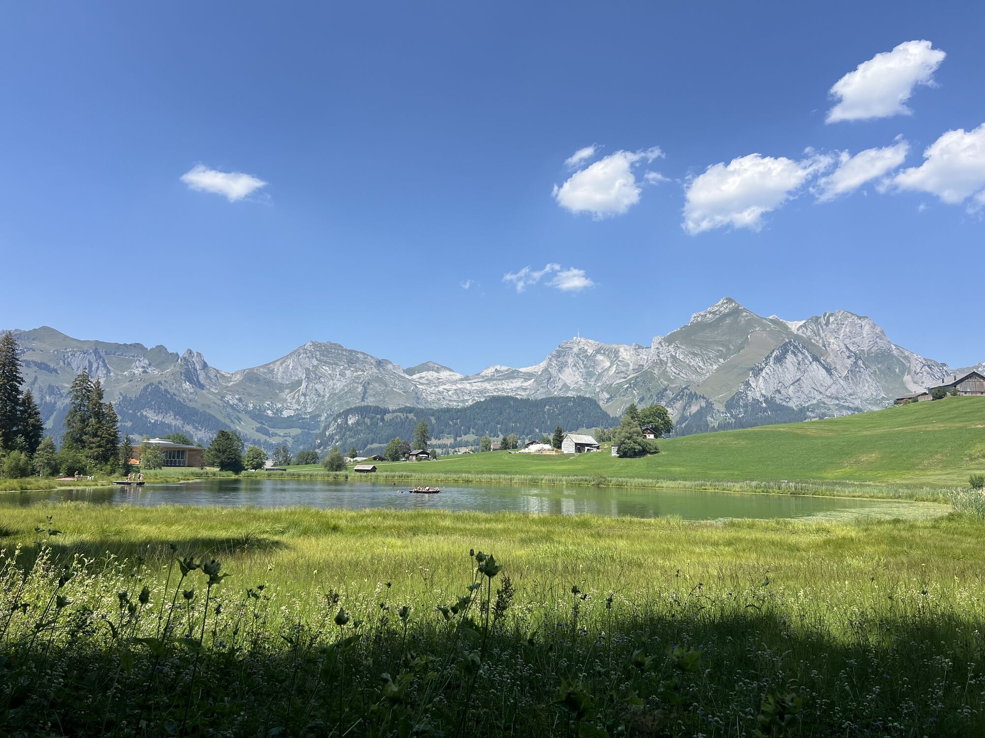
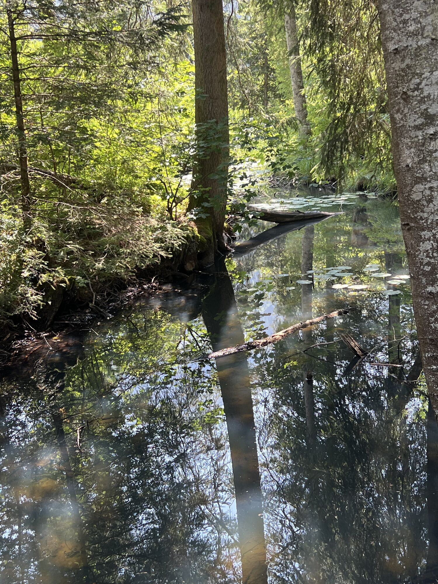

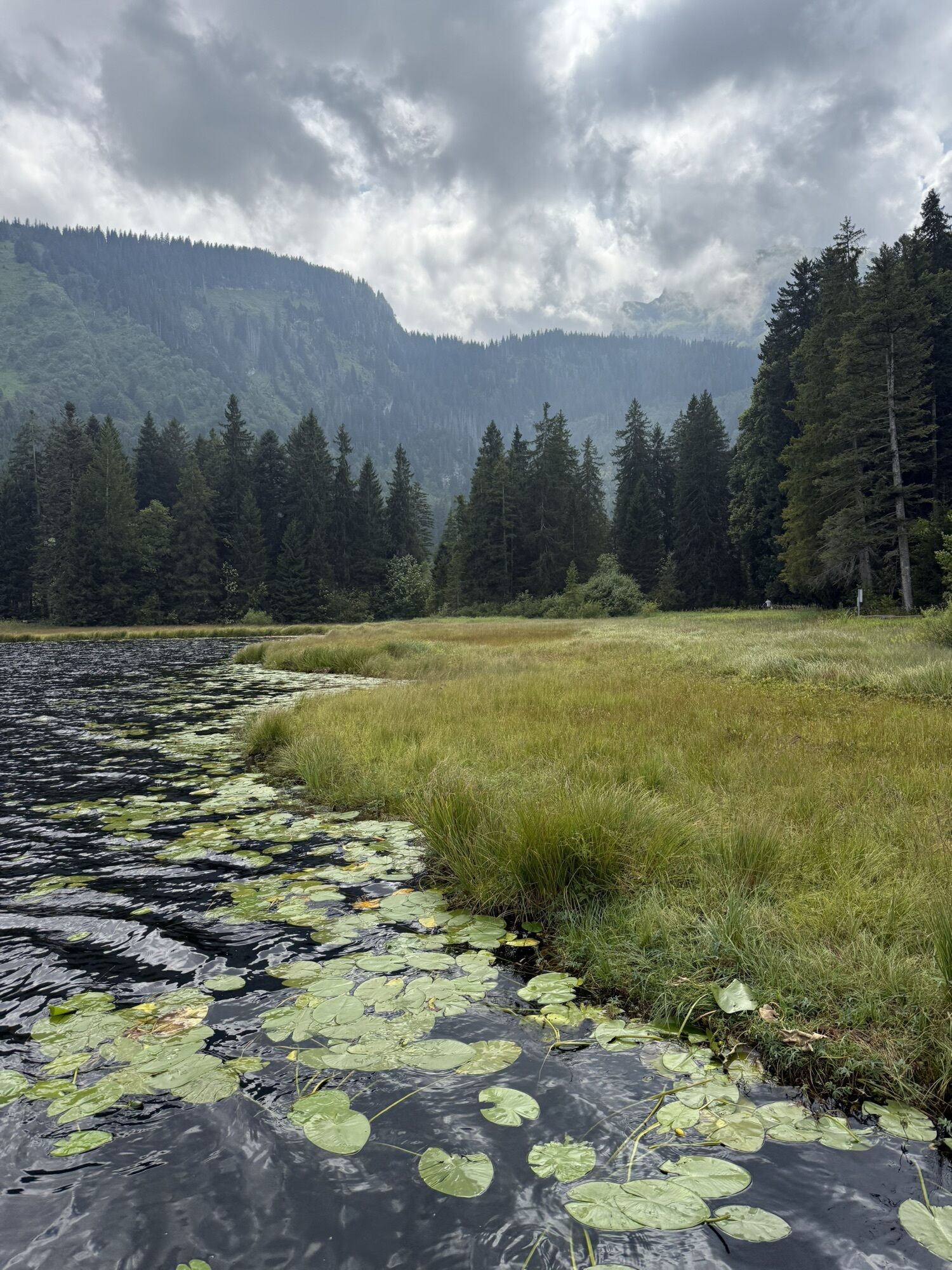
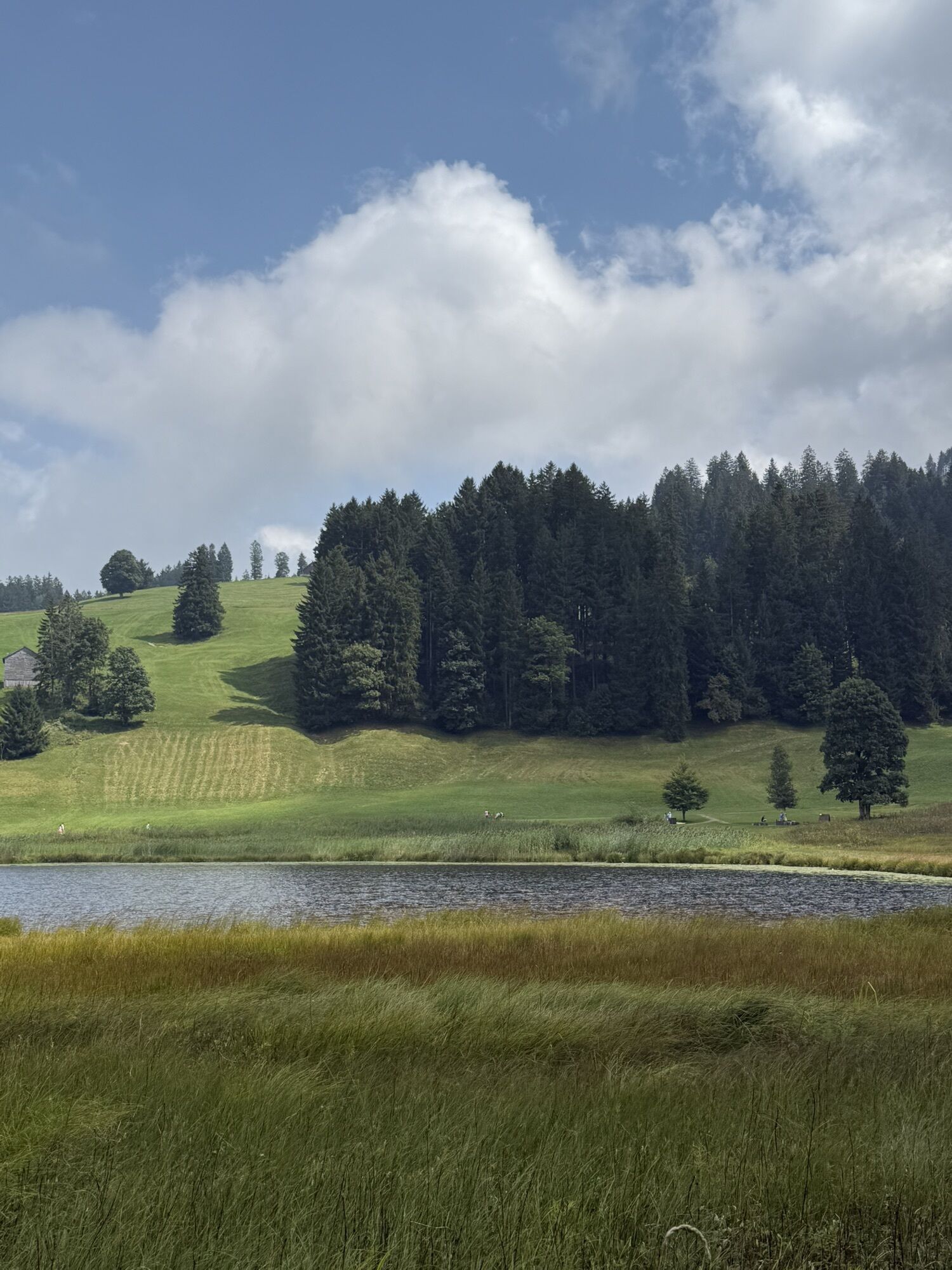
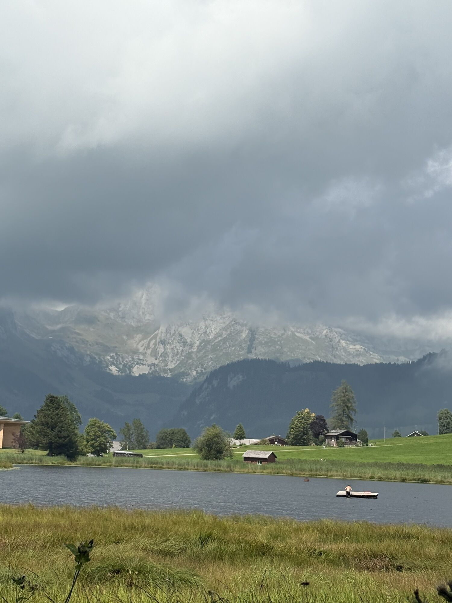
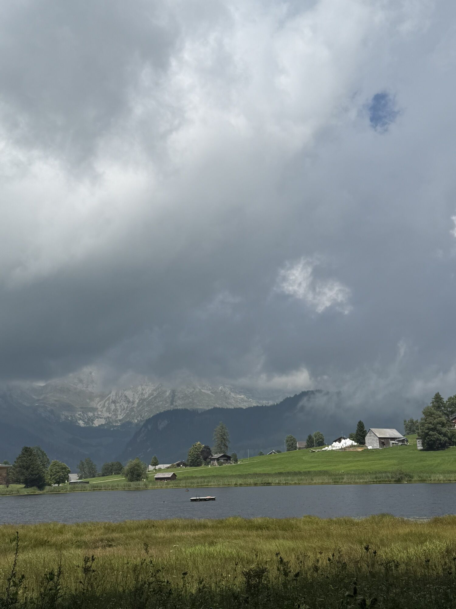
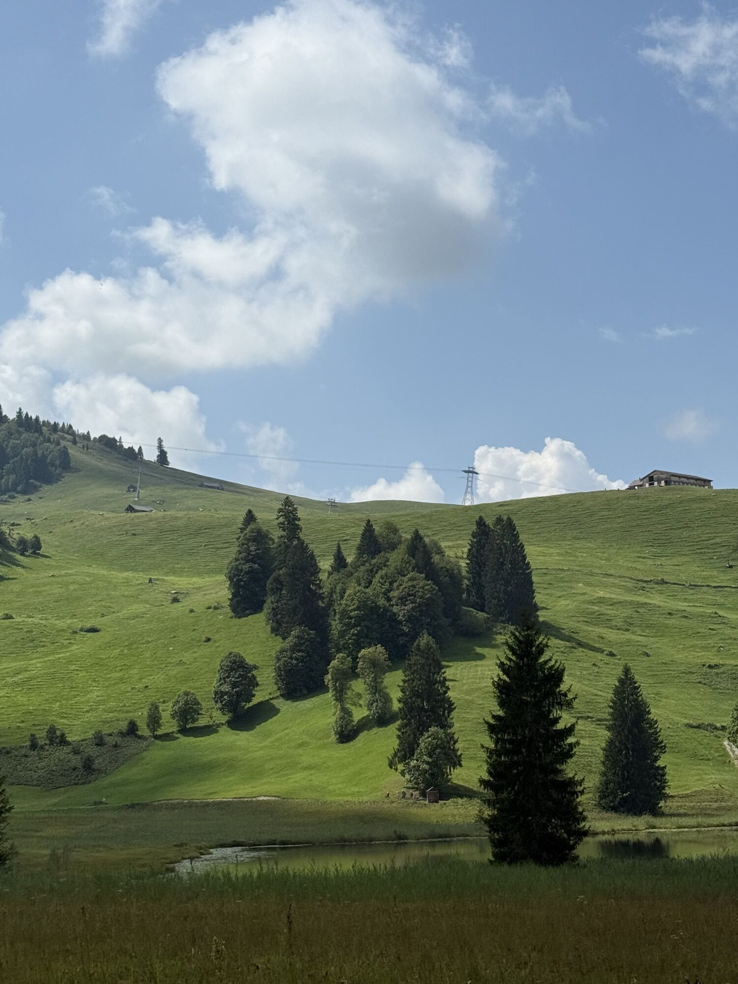

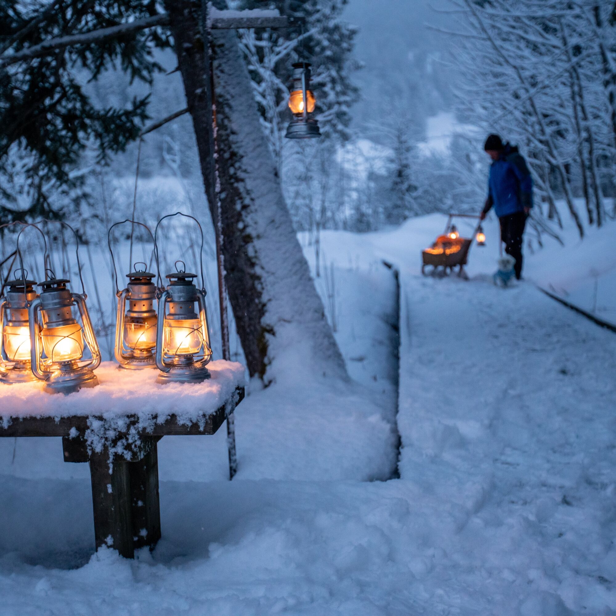
Walk around Lake Schwendisee in the gentle light of the lanterns. The lantern-lit path along the shore bathes the magical landscape in a fairytale-like image. Icy winter evenings become heartwarmingly...
Walk around Lake Schwendisee in the gentle light of the lanterns. The lantern-lit path along the shore bathes the magical landscape in a fairytale-like image. Icy winter evenings become heartwarmingly beautiful. If your nose tip is cold after the walk, it will surely warm up again with a hot Ovi or a cup of mulled wine at Stump's Alpenrose. Kitsch, yet so wonderful.
Information about opening hours can be obtained from Stump’s Alpenrose at: https://www.stumps-alpenrose.ch/de/erleben/winter or Tel.+41 71 998 52 52


The circular route starts at the parking lot at Lake Schwendisee and then follows the lanterns, over the footbridge, through the forest, along the gravel road and finally a short stretch on the paved road back to the starting point.
warm footwear, warm and weather-appropriate clothing in layers, possibly provisions and drinking water
From the Zurich metropolitan area and Central Switzerland:
On the A3 at Reichenburg towards Rapperswil and then over the Ricken Pass to Wattwil. Then up through Toggenburg to Unterwasser. Afterwards, drive up to Lake Schwendisee via the Hintere Schwendiestrasse.
From Eastern Switzerland:
From St. Gallen to Herisau and further over Wasserfluh to Lichtensteig. Or drive from St. Gallen to Wil, take the Toggenburg exit. Follow the main road to Unterwasser. Then drive up to Lake Schwendisee via the Hintere Schwendiestrasse.
From the southern German area:
Via Bregenz and St. Margrethen on the A13 to Haag, take the exit towards Toggenburg/Wildhaus and follow the main road to Wildhaus. Then drive up to Lake Schwendisee via the Vordere Schwendistrasse. Or via Konstanz to Wil, take the Toggenburg exit and follow the main road to Unterwasser. Then drive up to Lake Schwendisee via the Hintere Schwendiestrasse.
By train to Nesslau-Neu St. Johann or Buchs SG, then by post bus to the stop «Wildhaus Dorf» or «Unterwasser Post». Afterwards, get to Lake Schwendisee via the ride-sharing benches.
Paid parking directly at the start and end point of the circular route
1
Toggenburg Tourism
Hauptstrasse 104
9658 Wildhaus
+41 71 999 99 11
info@toggenburg.swiss
Environmentally friendly thanks to the ride-sharing bench to Lake Schwendisee. More information is available here.
Kamery internetowe z trasy

Popularne wycieczki w okolicy
-
4,8
Walensee Riviera Weesen - Quinten
średniWędrówka 10,2 km -
4,7
Riviera Lake Walen Walenstadt-Quinten
średniWędrówka 10,4 km -
4,6
Weesen - Quinten - Walenstadt
ciężkiWędrówka 20,6 km -
5,0
Staubern-Runde (15.8.2021)
średniWędrówka 8,65 km -
4,9
Säntis-Gipfeltour, Wasserauen / Appenzell Innerrhoden
ciężkiWędrówka 21,1 km -
4,8
Tour Brülisau - Saxerlücke - Hoherkasten⛰
ciężkiWędrówka 16,6 km -
4,6
Wasserauen - Seealpsee - Wasserauen
średniWędrówka 7,71 km -
4,6
Säntis
średniWycieczki górskie 17,5 km -
4,9
Alpine and Cultural Trail Schrina
średniTrasa tematyczna 11,5 km -
4,7
Alvier
średniWędrówka 3,33 km

Wędrówki i tropienie


Nie przegap ofert i inspiracji na następne wakacje
Twój adres e-mail została dodana do listy mailingowej.





