



Ramsen - Stein am Rhein

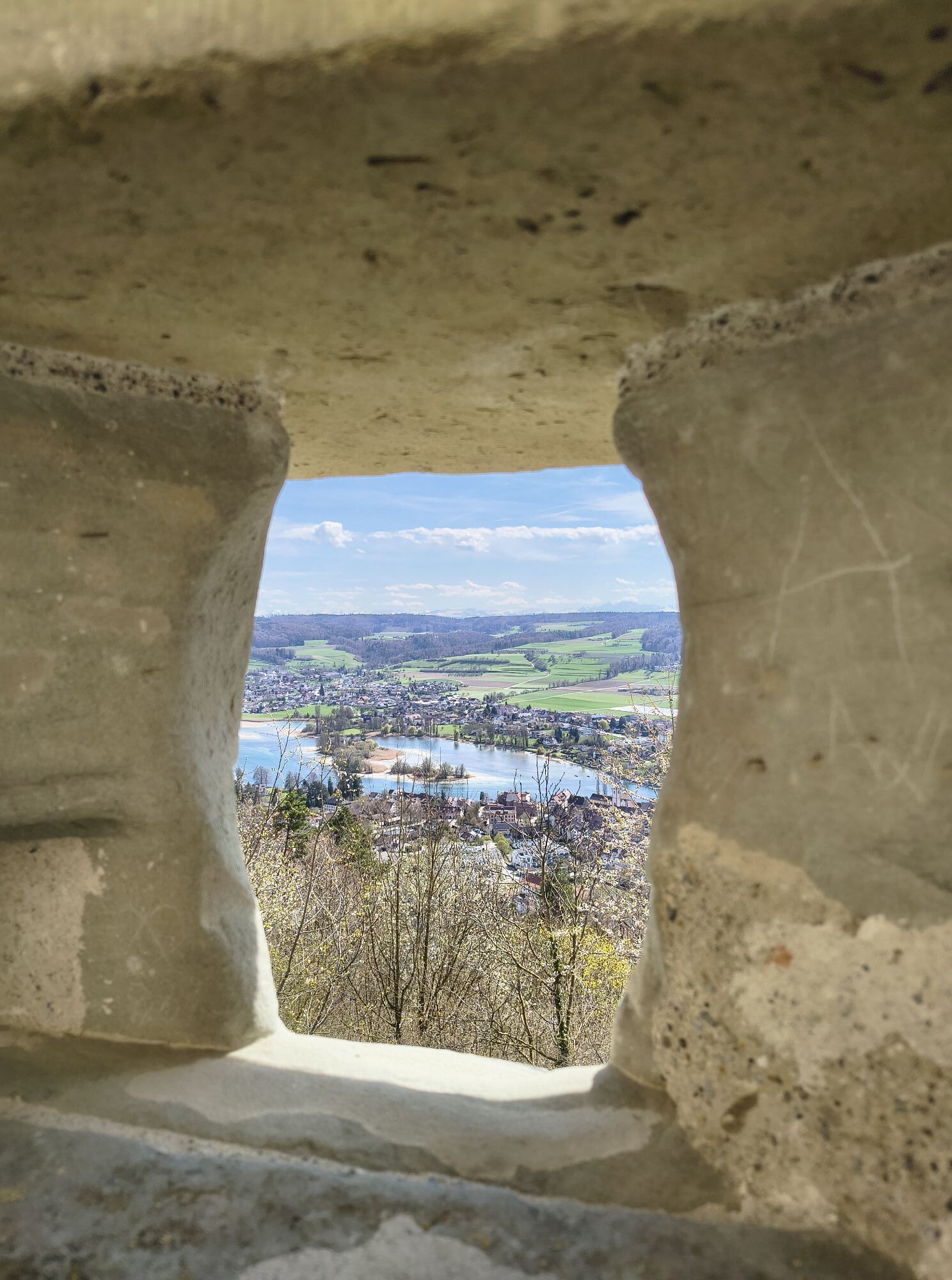
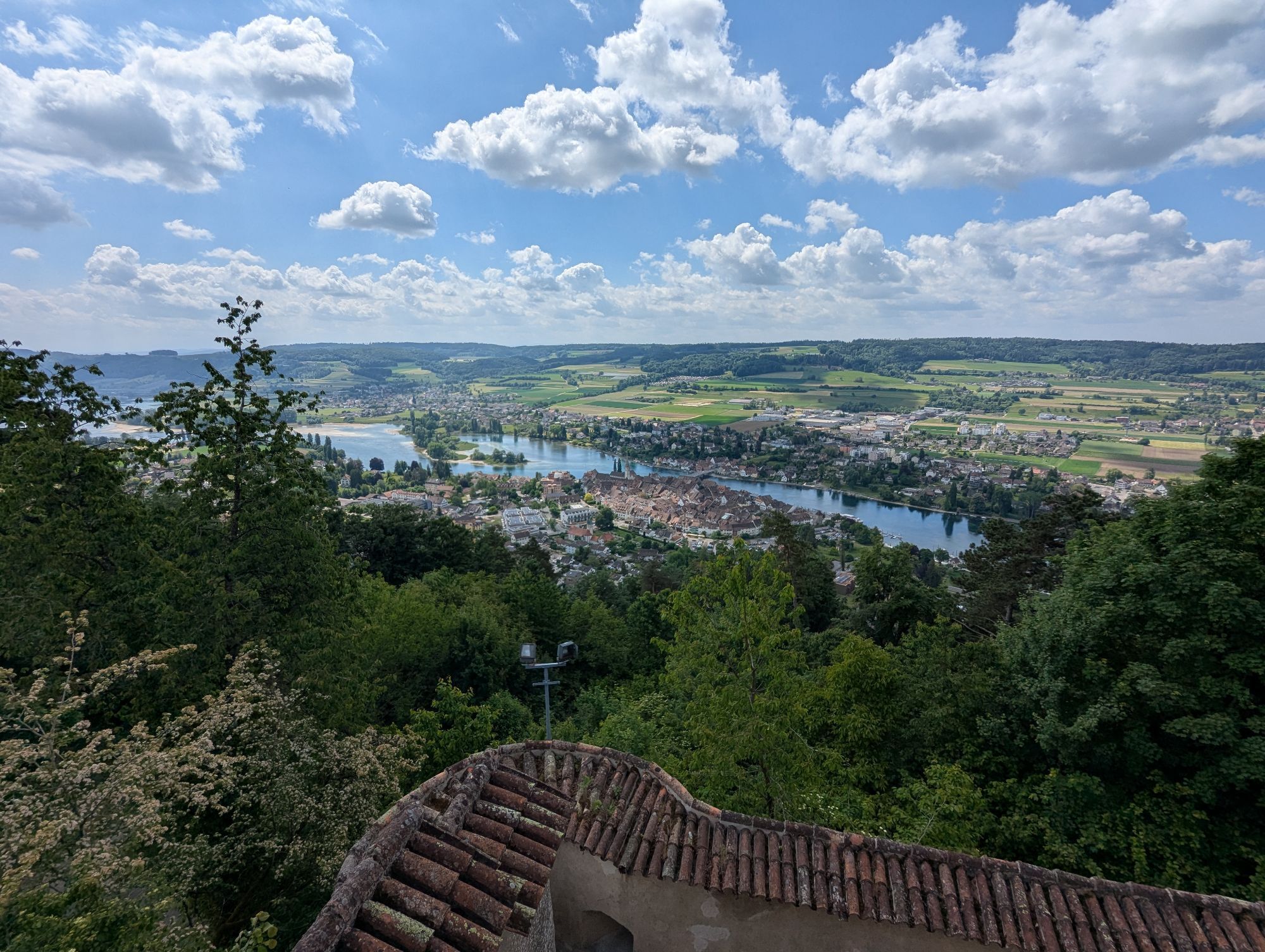
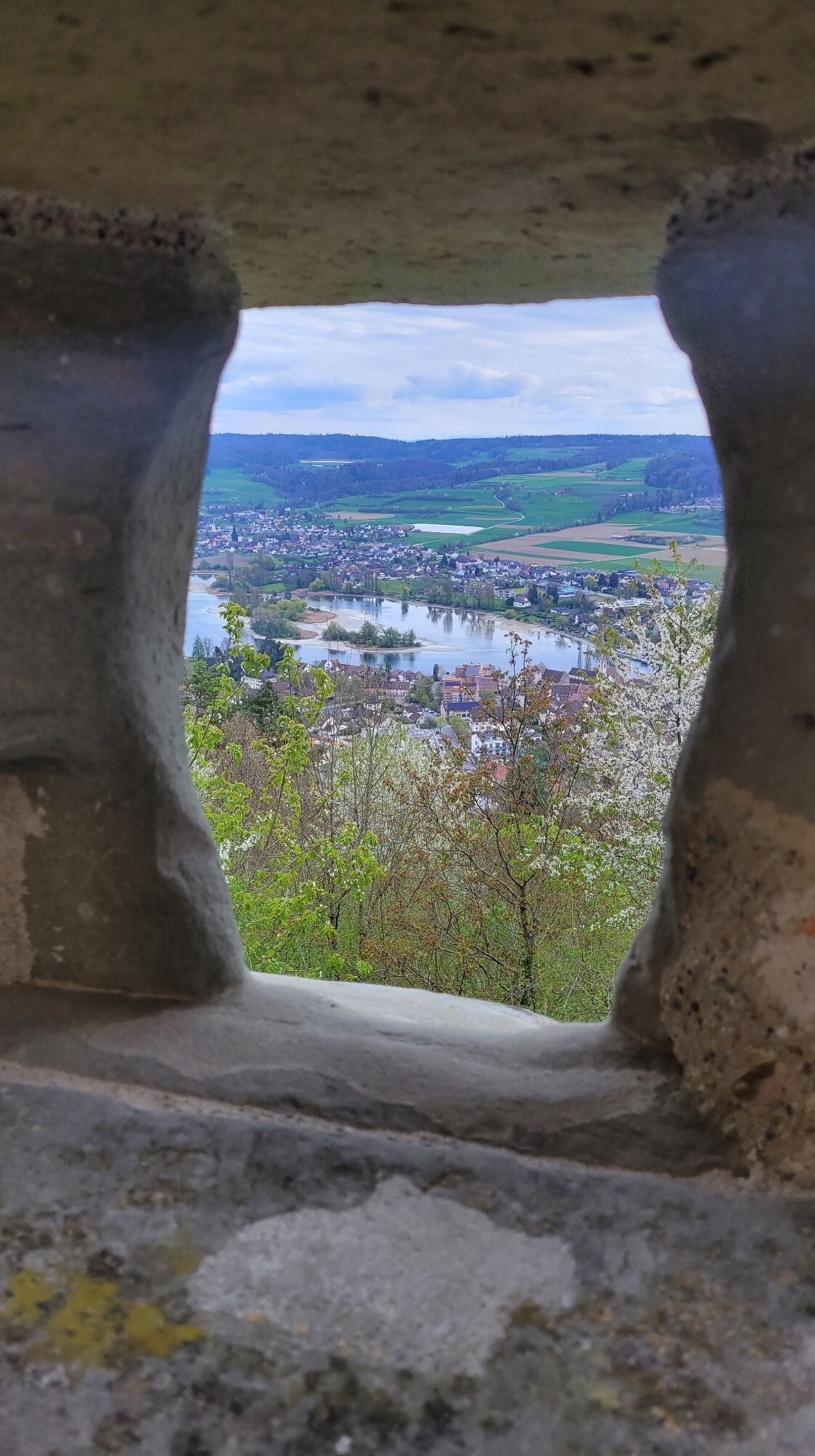
Over the unique ridge of the Schienerberg, along the vineyard slope to Hemishofen. From the Wolkenstein viewpoint over the Hoppihoo, Zieglerhäuli, and Egete ridgeway. Great hike partly on Swiss, partly...
Over the unique ridge of the Schienerberg, along the vineyard slope to Hemishofen. From the Wolkenstein viewpoint over the Hoppihoo, Zieglerhäuli, and Egete ridgeway. Great hike partly on Swiss, partly on German forest area, over Hirschbüel, Bartellen, Nägelsee, and Bergäcker you reach Stein am Rhein. Return by bus to Ramsen.
The route can easily be walked in the opposite direction.
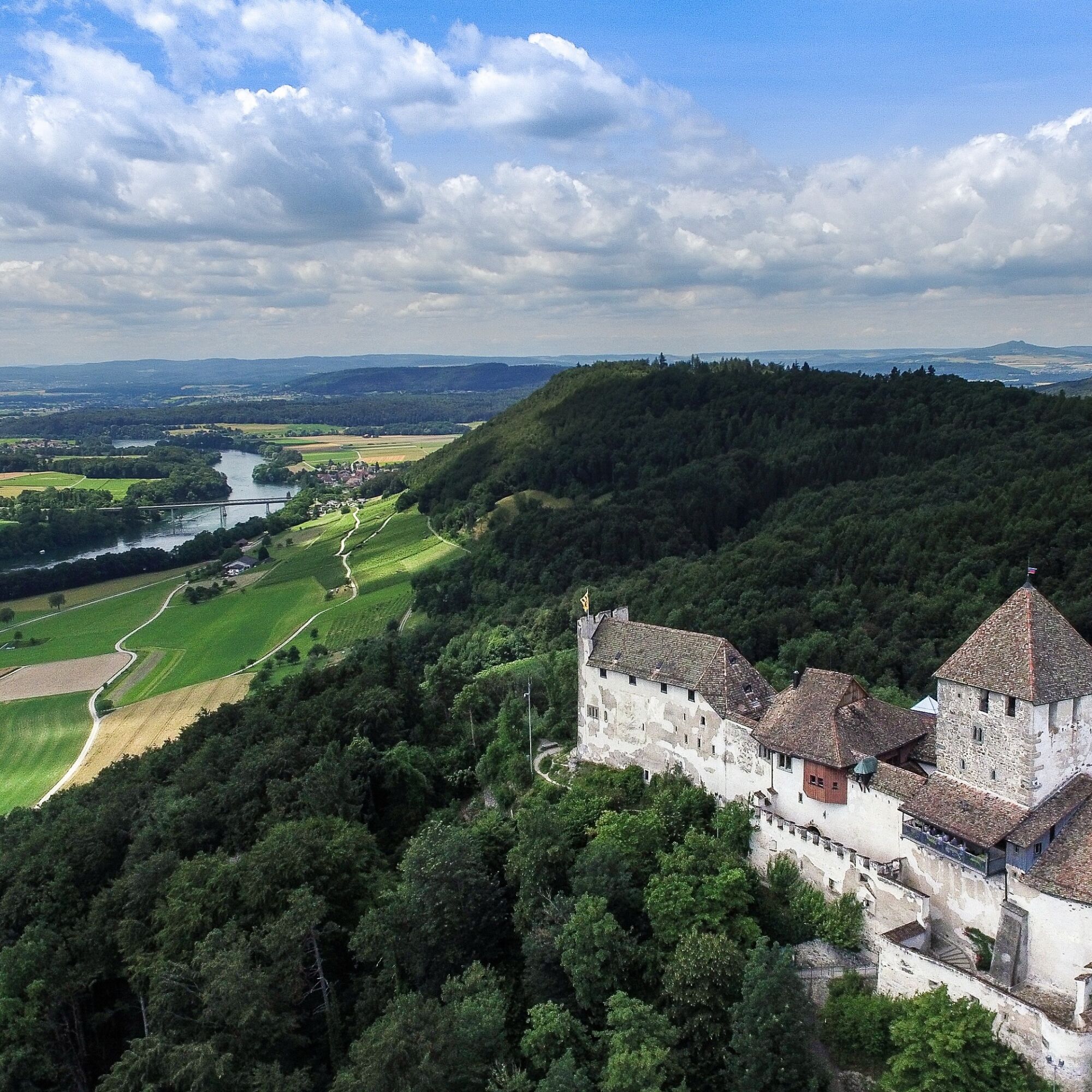
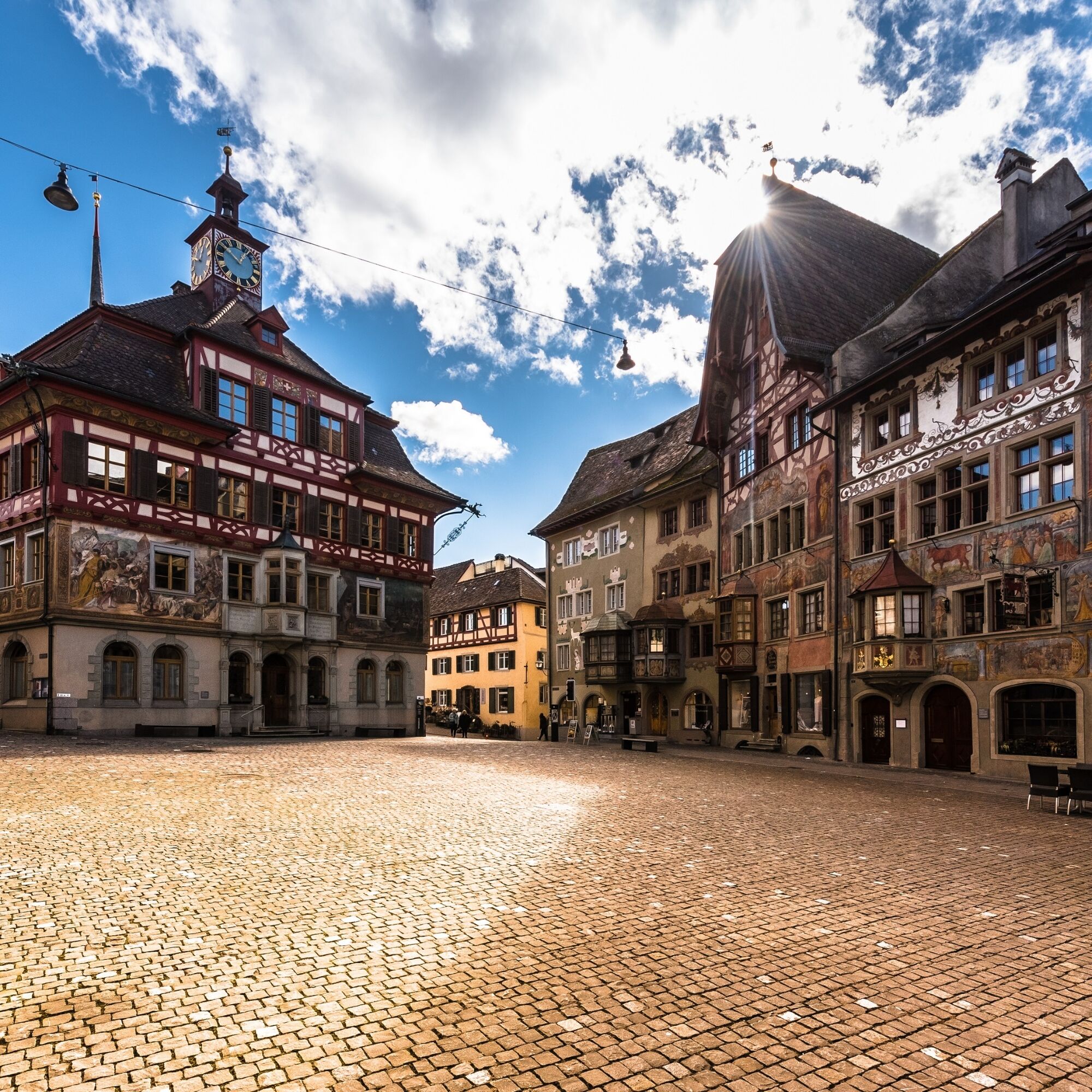
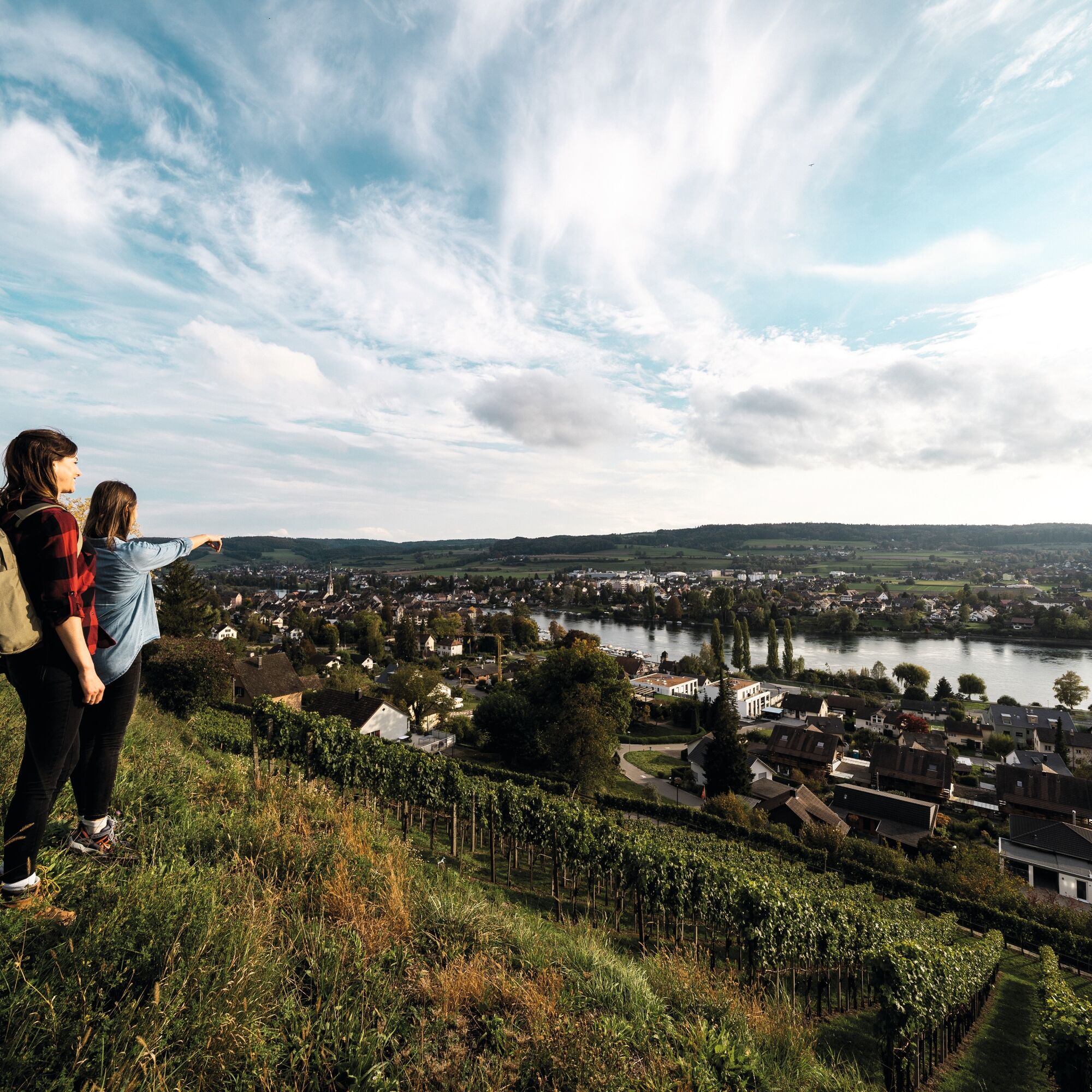
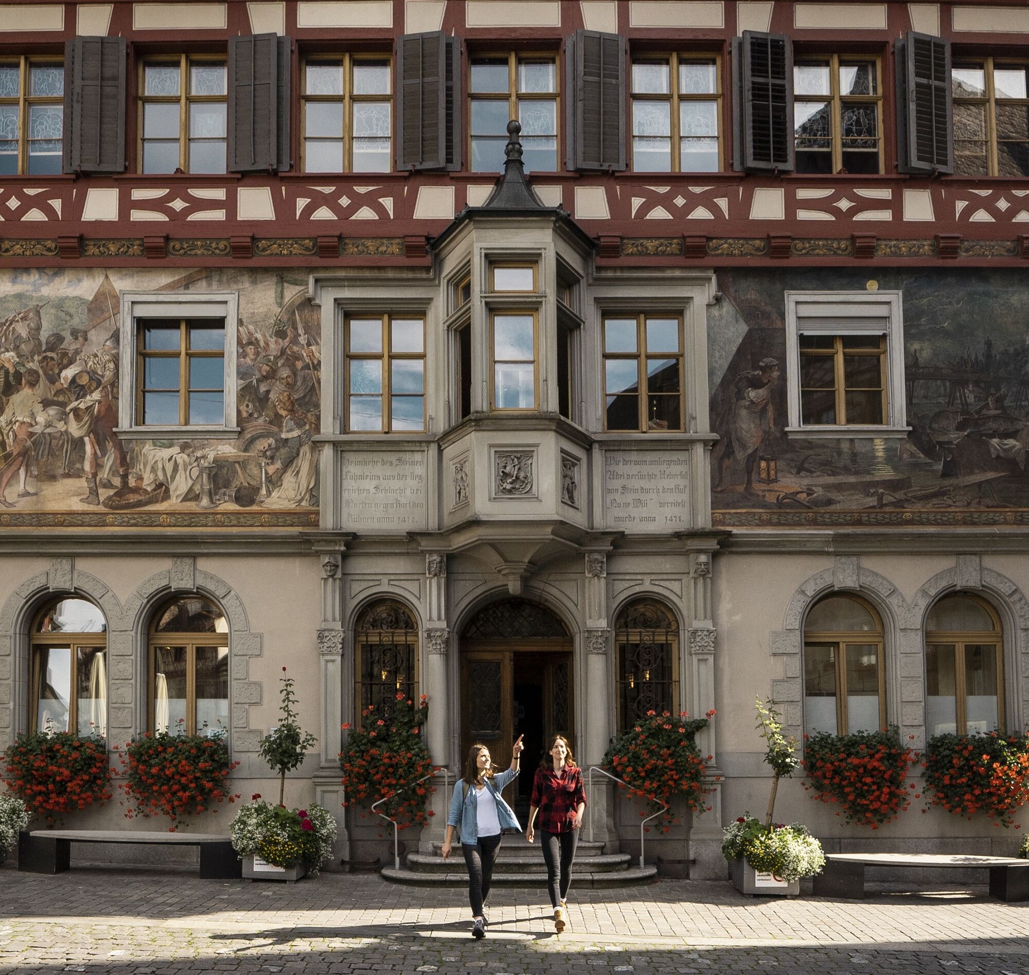
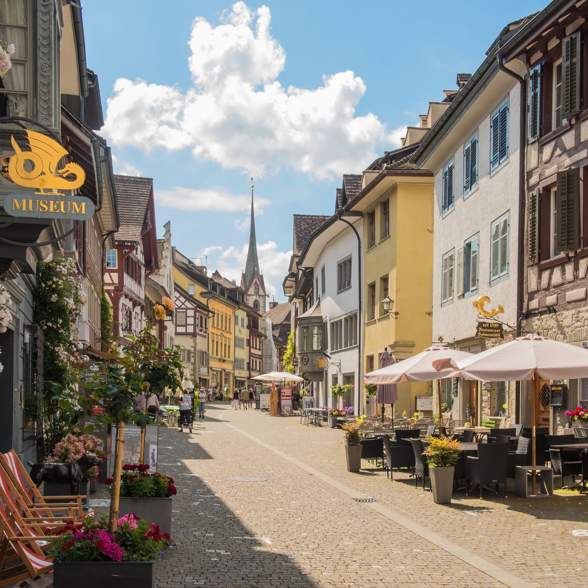

On the ridgeway over Ergete, Zieglerhäuli, and Hoppihoo you walk to the Wolkenstein viewpoint. Walk along the vineyard slope to Hemishofen. Over the unique ridge of the Schienerberg, partly on Swiss, partly on German forest area, over Bergäcker, Nägelsee, Bartellen, and Hirschbüel you reach Ramsen. Return by bus to Stein am Rhein.
Good footwear, drinks, and snacks for in between.
Starting point: Ramsen Village
Route planner
Starting point: Ramsen Village
Destination: Stein am Rhein
Return to the starting point by train, connection once per hour, duration approx. 15 min.
Parking is available in Ramsen.
Old Town, Stein am Rhein
Wolkenstein Ruin, Hemishofen
Hohenklingen Castle, Hohenklingen


Popularne wycieczki w okolicy
- 5,0
Hike on the panorama route of the Höri Peninsula
średniWędrówka 8,11 km - 5,0
Stein am Rhein - Hohenklingen Castle - Stein am Rhein
średniWędrówka 7,68 km - 4,0
Circular hike Gaienhofen-Middle Höri
średniWędrówka 12,6 km - 3,7
Firstweg Langenmos
średniWędrówka 5,76 km - 5,0
"Hegauer Kegelspiel" Hohentwieler
średniWędrówka 7,21 km SchweizMobil 2: Rhine Route stage 6 (Kreuzlingen - Schaffhausen)
średniJazda na rowerze 47,0 km- 4,5
Circular hiking trail from Mammern on Lake Constance to the Neuburg ruins
światłoWędrówka 6,73 km - 4,0
Stein am Rhein – Schaffhausen Round Trip
średniJazda na rowerze 39,7 km - 3,0
"Hegauer Kegelspiel" Grenzgänger
światłoWędrówka 12,6 km Rundweg Schienerberg
ciężkiWędrówka 18,6 km
Wędrówki i tropienie


Nie przegap ofert i inspiracji na następne wakacje
Twój adres e-mail została dodana do listy mailingowej.


