







"Hegauer Kegelspiel" Grenzgänger
Gailingen, the over 1000-year-old community on the High Rhine, is a state-recognized spa town and lies 50m above the Rhine bank, opposite the Swiss town of Diessenhofen. Both communities are connected...
Gailingen, the over 1000-year-old community on the High Rhine, is a state-recognized spa town and lies 50m above the Rhine bank, opposite the Swiss town of Diessenhofen. Both communities are connected by an old covered wooden bridge. Not far from there is the starting point of the premium hiking route "Grenzgänger" at the Rheinuferpark parking lot. At the foot of the vineyard, the gently ascending path runs parallel to the river course and then through part of the approximately 660 ha forest area of Gailingen. At the Rheinuferpark, the young, clear Rhine offers a refreshing bath.
In Gailingen, wine is grown on around 25 ha of vineyard. Four wineries share this area. Among others, the Zolg winery, the state winery Meersburg, the Markgraf von Baden winery, and the Swiss winemaker Wein Keller cultivate about 25 ha. Various wine varieties such as Müller-Thurgau, Pinot Blanc, Pinot Gris, Pinot Noir, or Chardonnay are grown here.

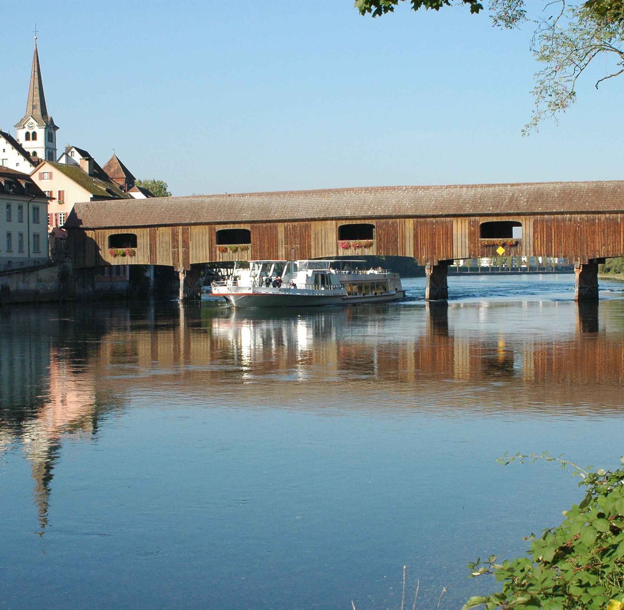
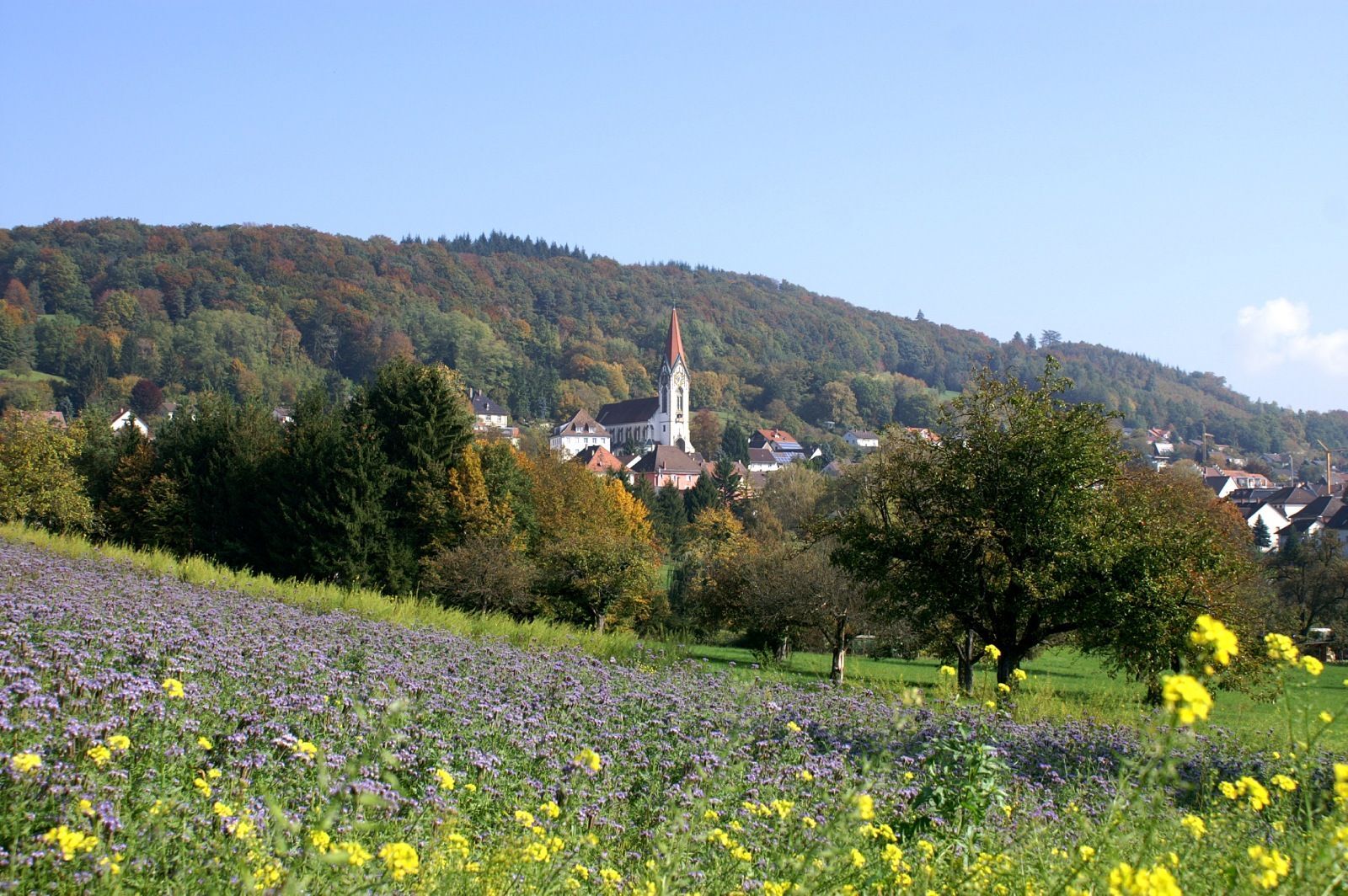
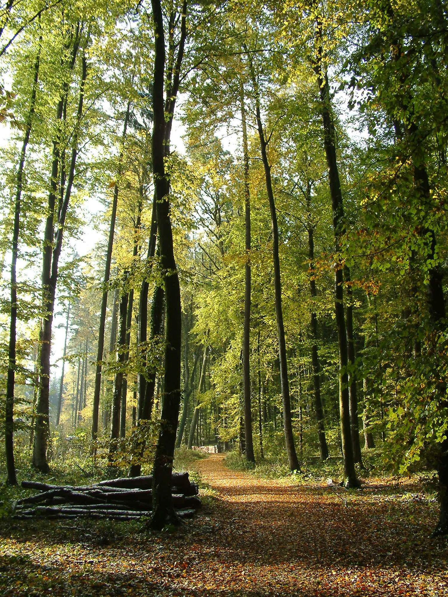
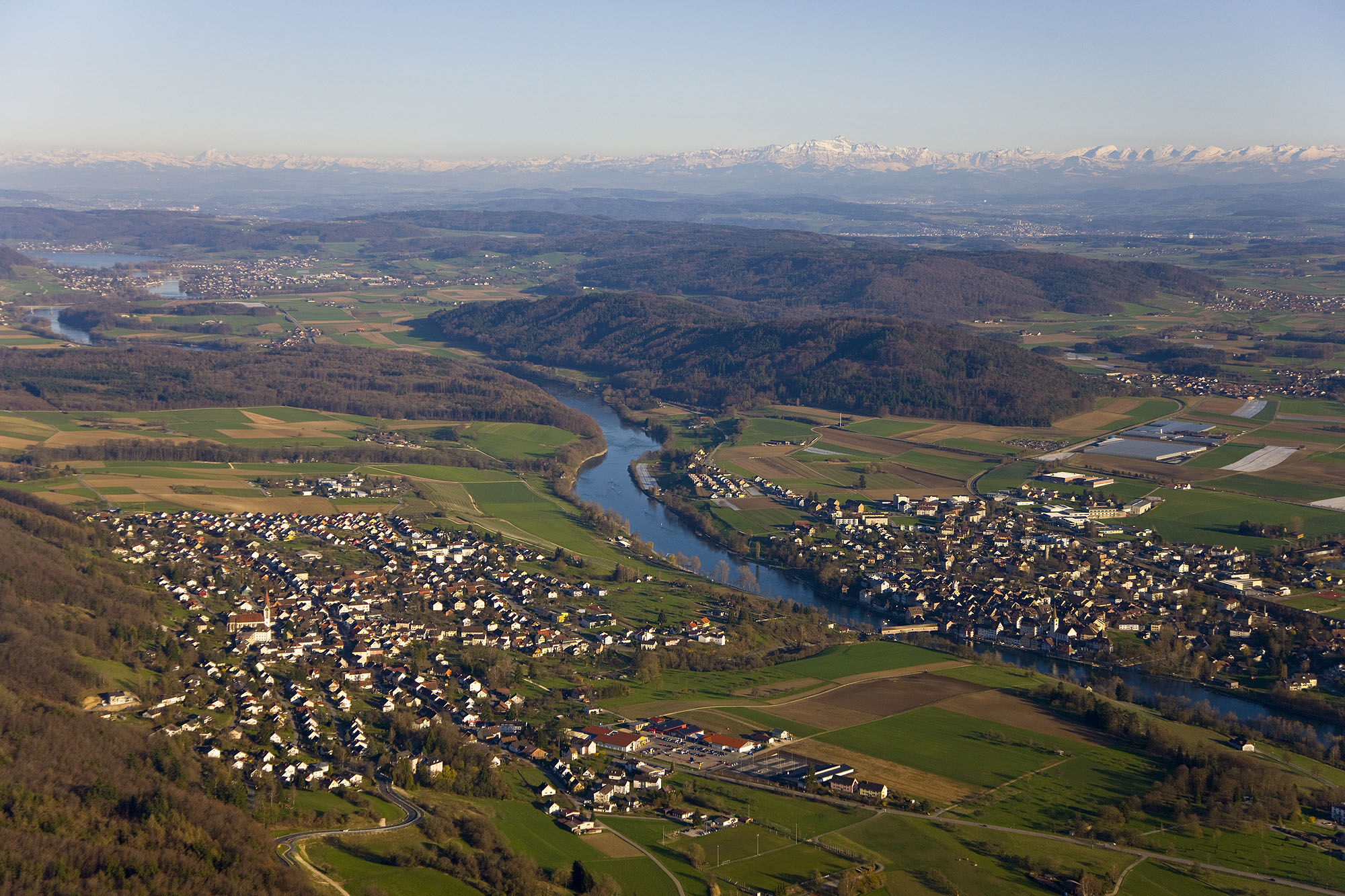
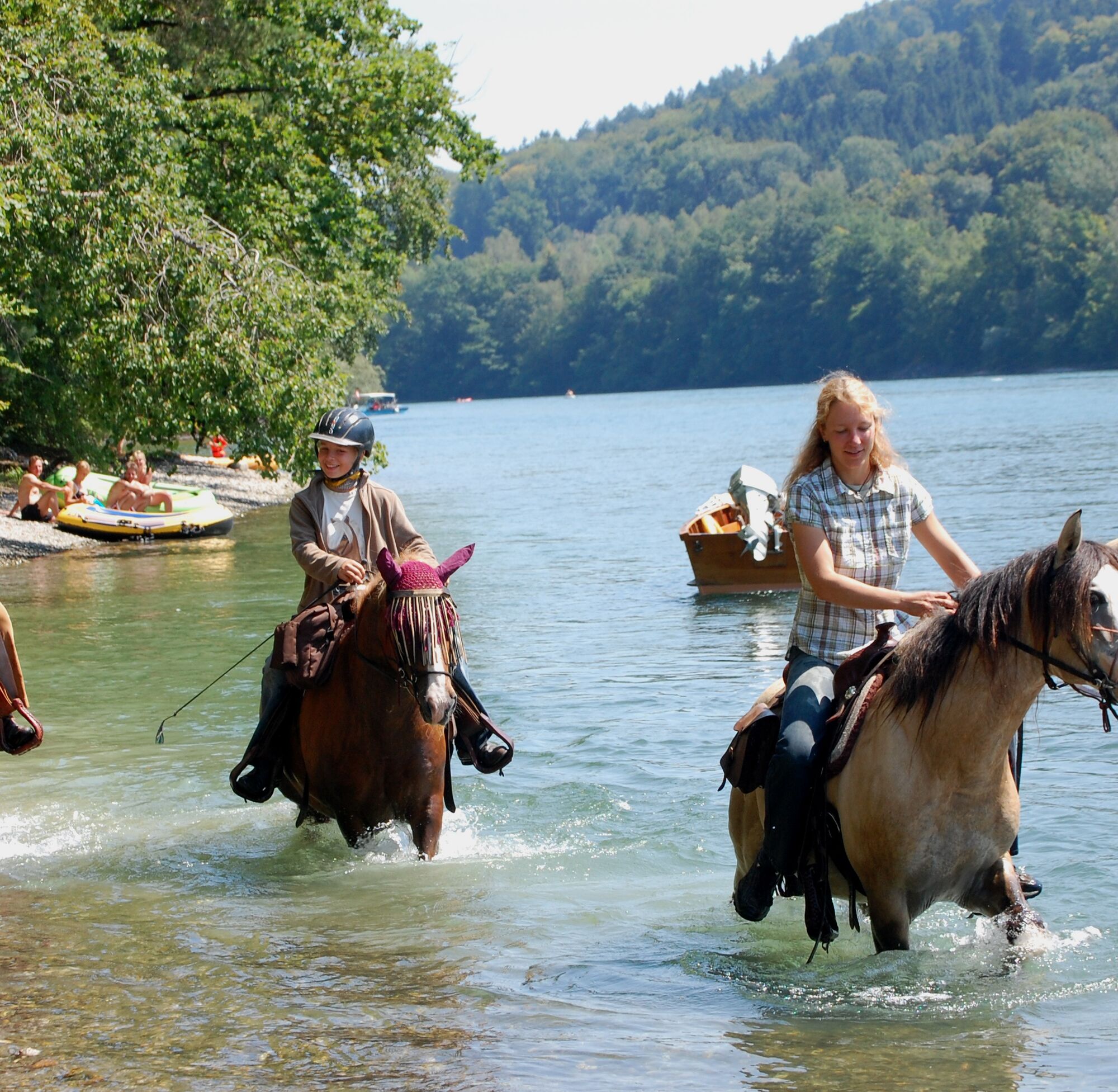
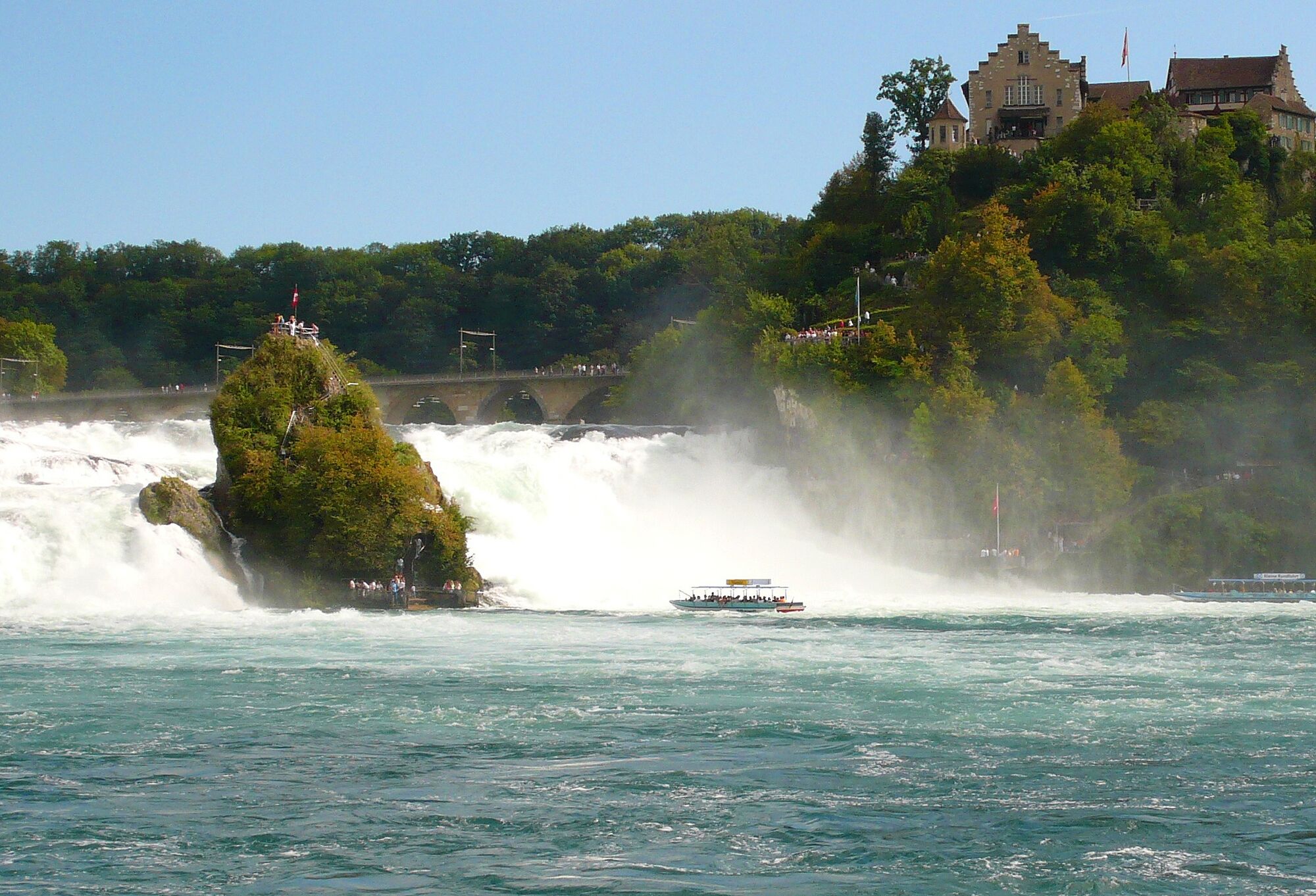
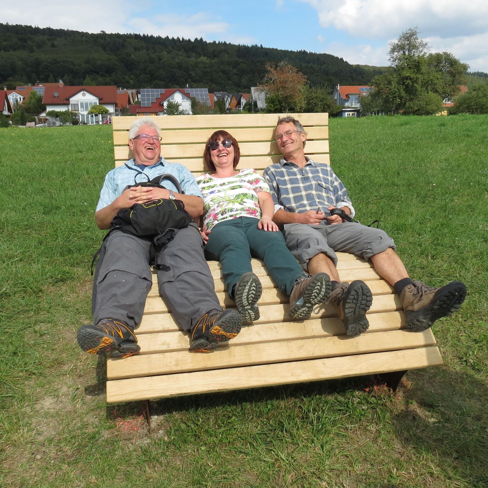
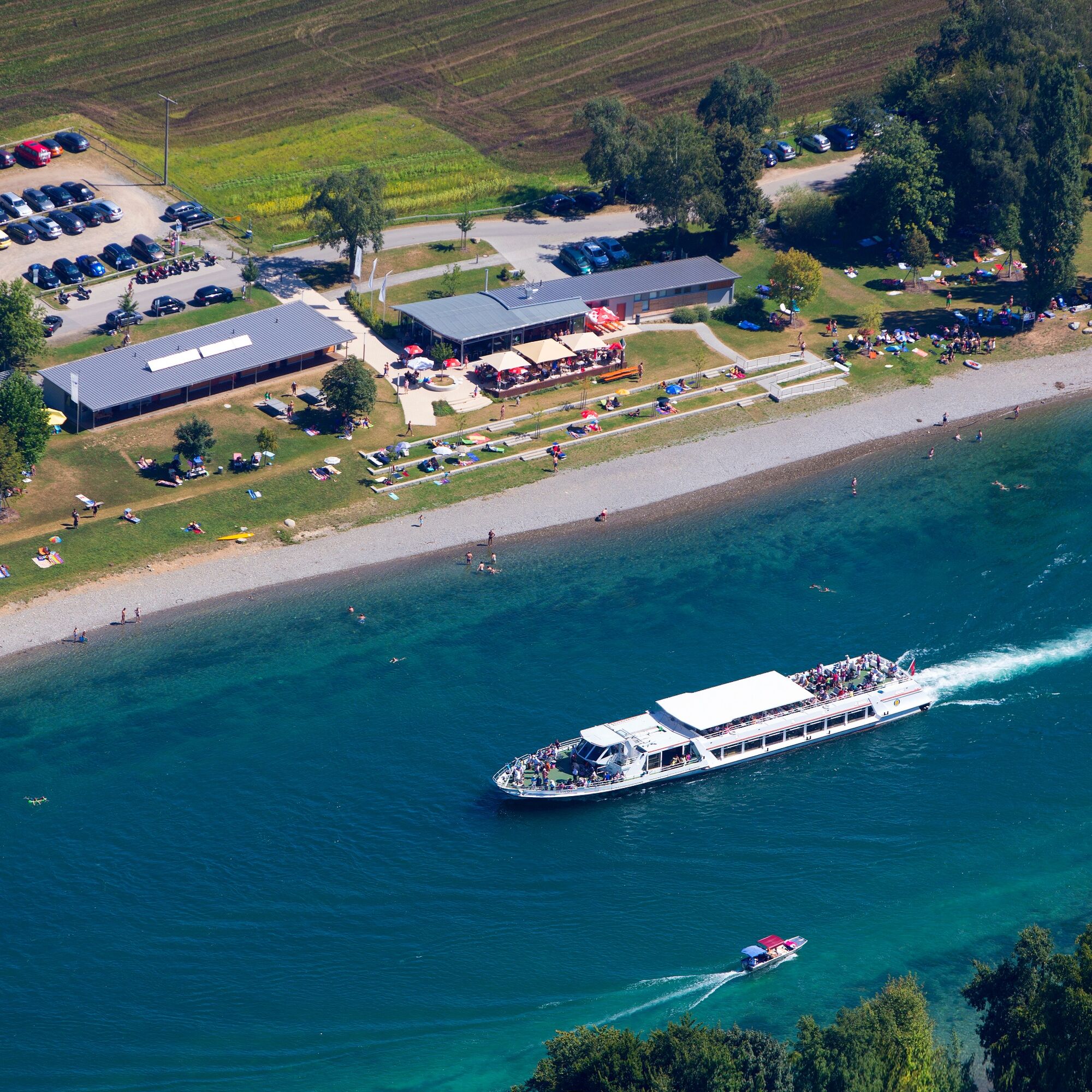
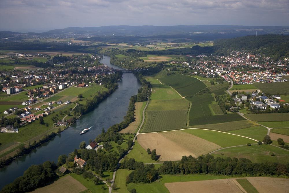

Starting point of the premium hiking route "Grenzgänger" is the parking lot of the Rheinuferpark on the idyllic High Rhine. At the foot of the vineyard, the gently ascending path runs parallel to the river course. Further east, the path goes past the 12th-century St. Nikolaus chapel into the Staffelwald forest. The path runs parallel to the Rhine towards the Swiss border. Past the former forester's house, called Gaishütte, of which only a few stone remains can be seen, the path continues towards "Bibermüli". After crossing the border, an old customs hut and several benches invite you to rest. The path then leads downhill, and after leaving the idyllic Staffelwald, hikers have a wonderful view of the Schienerberg and the Biber valley. The path descends to "Bibermüli", a popular excursion destination on Swiss territory directly on the Rhine. In summer, this spot is ideal for a refreshing swim in the Rhine. First along the small river Biber and then along the border, the path goes further north back into the Staffelwald. The route is flanked here by many old border stones. On the return path towards the starting point, several viewpoints offer themselves. Especially above the vineyard, on the so-called "Ritterhalde", there is a unique view into Switzerland and, in exceptional weather conditions, the Alpine range appears very close. Then the path goes back to the starting point via the "Tiefental" path. Here too, the opportunity for a refreshing swim in the clear Rhine should definitely be taken. From spring to late autumn, a visit to the excursion restaurant "Wiffe74" in the Rheinuferpark is recommended. From the opposite Swiss town of Diessenhofen, excursion ships run to Konstanz and further on the entire Lake Constance.
Tak
Increased caution is advised when swimming in the Rhine. The strong current of the river requires advanced swimming skills. As a safety measure, you should take a swim aid with you.
Coming from Singen/Gottmadingen via L190 to Gailingen. Turn in the town center towards Diessenhofen (CH). At the Rhine bridge, turn left towards Rheinuferpark.
Regional train "Seehas" to Gottmadingen station. From there, take the bus line 7351 to the "Jugendwerk" stop.
Public transport connections on weekends are regular but at longer intervals.
There are parking fees at the Rheinuferpark parking lot. Free parking is available on weekends and public holidays at the Jugendwerk clinic. The hiking trail passes directly by there.
Along the way, a detour to the "Winkelhof" winery with a seasonal wine tavern is possible. Note: limited opening hours. Please check the opening hours in advance (Tel. 07734/6598 www.zolg.de).
A boat trip on the Rhine from Diessenhofen to Konstanz or Schaffhausen http://www.urh.ch.
 Uzyskaj wgląd
Zawsze na żywo z ponad 9 500 kamer internetowych. bergfex Jako użytkownik Pro, możesz teraz zobaczyć odpowiednie kamery internetowe dla wielu wycieczek w aplikacji wycieczki od. Pozwala to na bezpośredni podgląd aktualnych warunków.
Uzyskaj wgląd
Zawsze na żywo z ponad 9 500 kamer internetowych. bergfex Jako użytkownik Pro, możesz teraz zobaczyć odpowiednie kamery internetowe dla wielu wycieczek w aplikacji wycieczki od. Pozwala to na bezpośredni podgląd aktualnych warunków.

Popularne wycieczki w okolicy
-
4,7
Small Rheinfall Circular Route
światłoWędrówka 3,48 km -
5,0
Hike on the panorama route of the Höri Peninsula
średniWędrówka 8,11 km -
Circular hike Schaffhausen - Rhine Falls - Schaffhausen
średniWędrówka 10,0 km -
4,0
Circular hike Gaienhofen-Middle Höri
średniWędrówka 12,6 km -
SwitzerlandMobility 896: Rhine Falls Circular Route
średniWędrówka 7,39 km -
3,7
Firstweg Langenmos
średniWędrówka 5,76 km -
Stein am Rhein - Hohenklingen Castle - Stein am Rhein
średniWędrówka 7,79 km -
5,0
"Hegauer Kegelspiel" Hohentwieler
średniWędrówka 7,21 km -
SchweizMobil 2: Rhine Route stage 6 (Kreuzlingen - Schaffhausen)
średniJazda na rowerze 47,0 km -
4,0
Stein am Rhein – Schaffhausen round route
średniJazda na rowerze 39,7 km
Wędrówki i tropienie


Nie przegap ofert i inspiracji na następne wakacje
Twój adres e-mail została dodana do listy mailingowej.





