





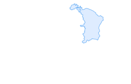

Stein am Rhein – Schaffhausen round route
Poziom trudności: 3
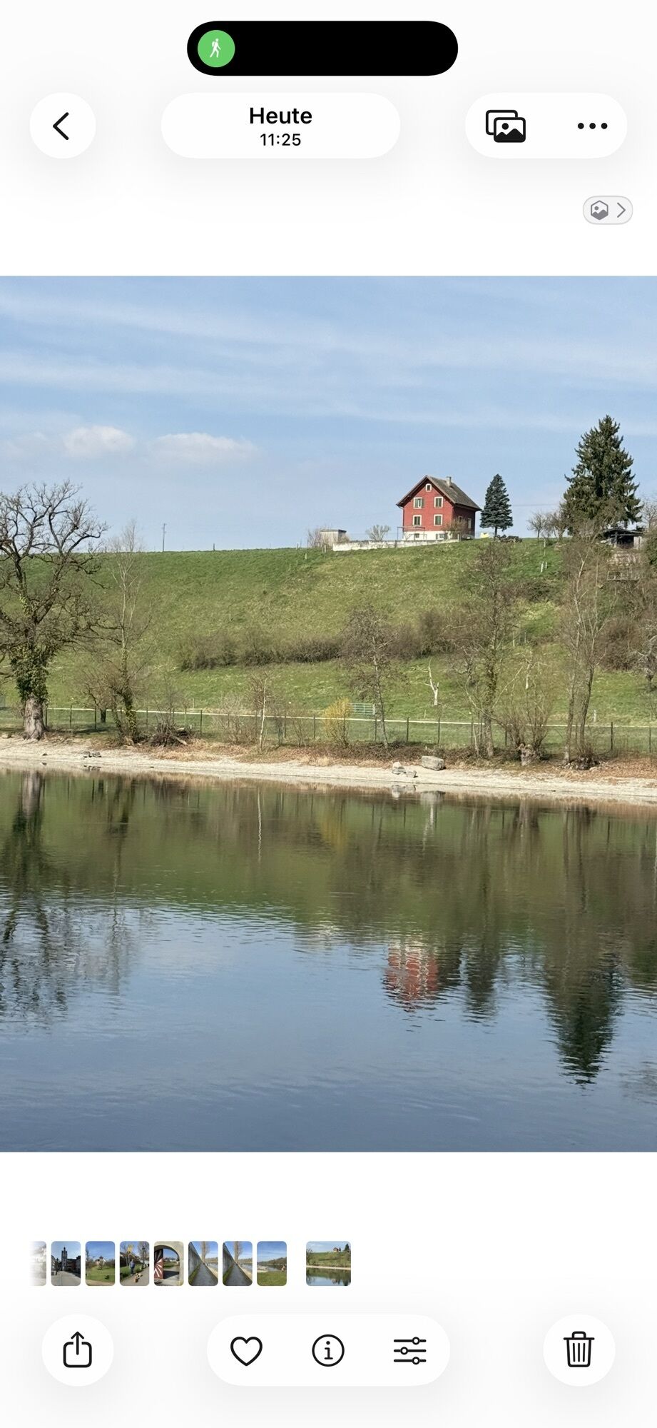
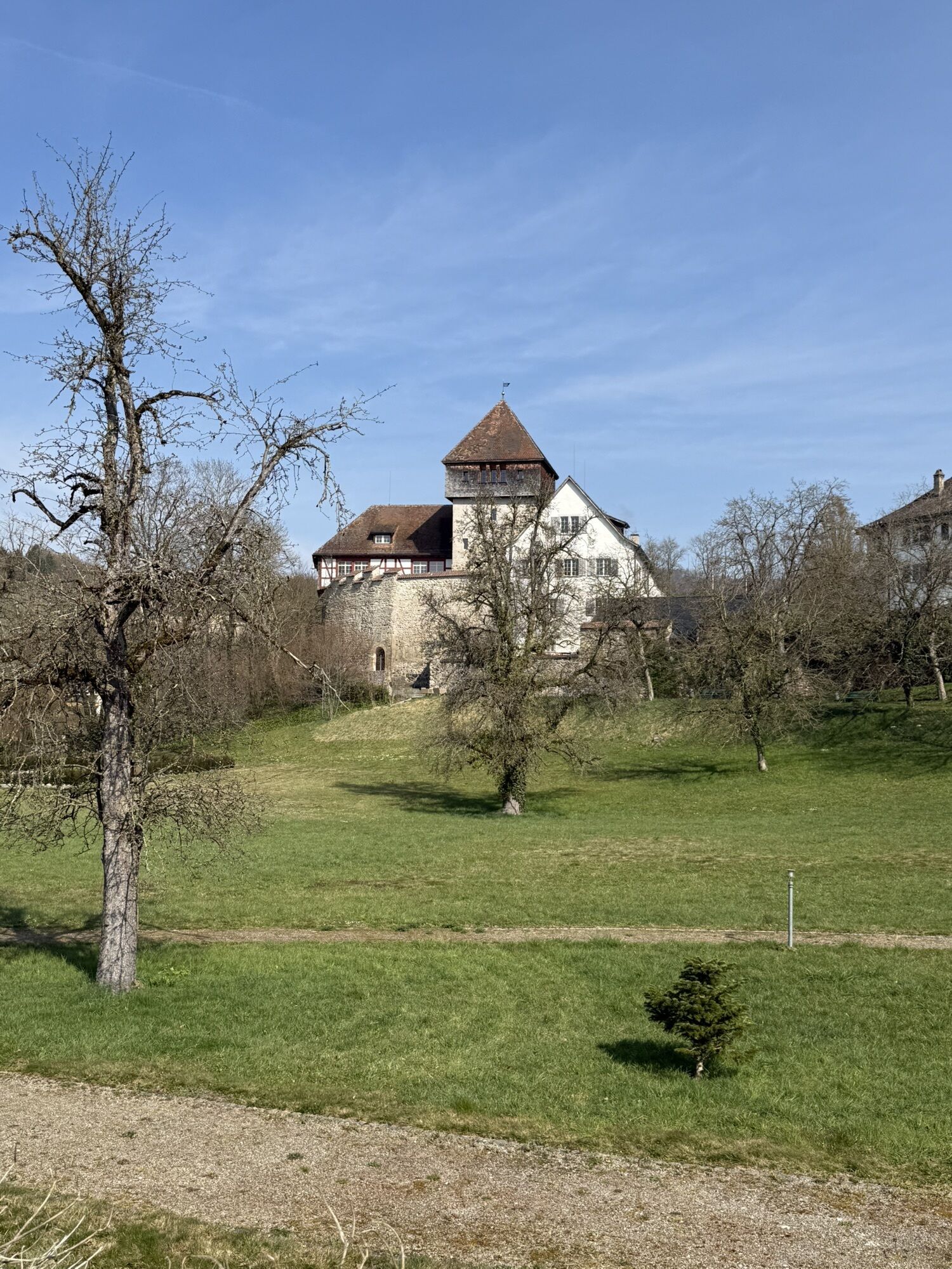
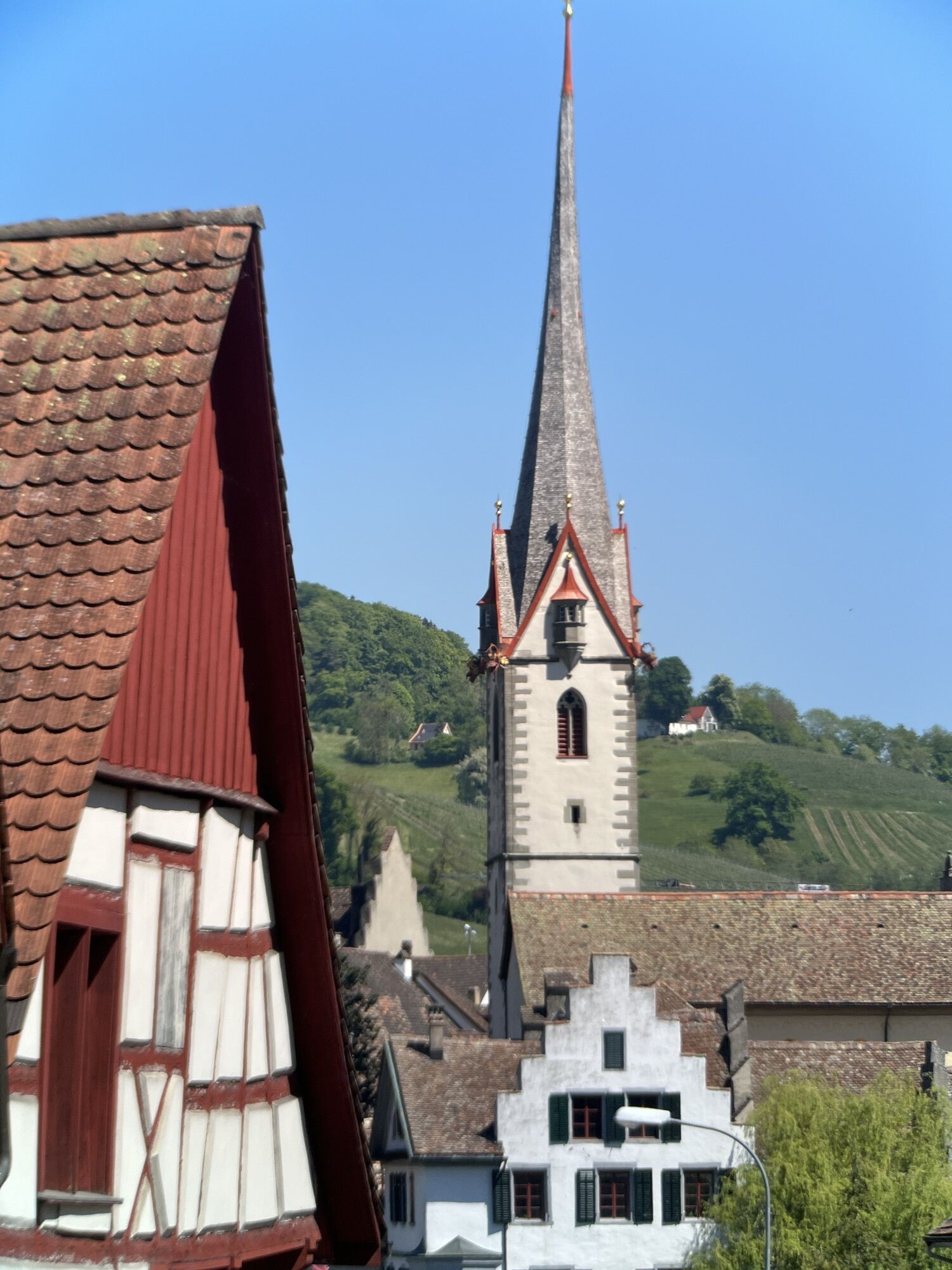
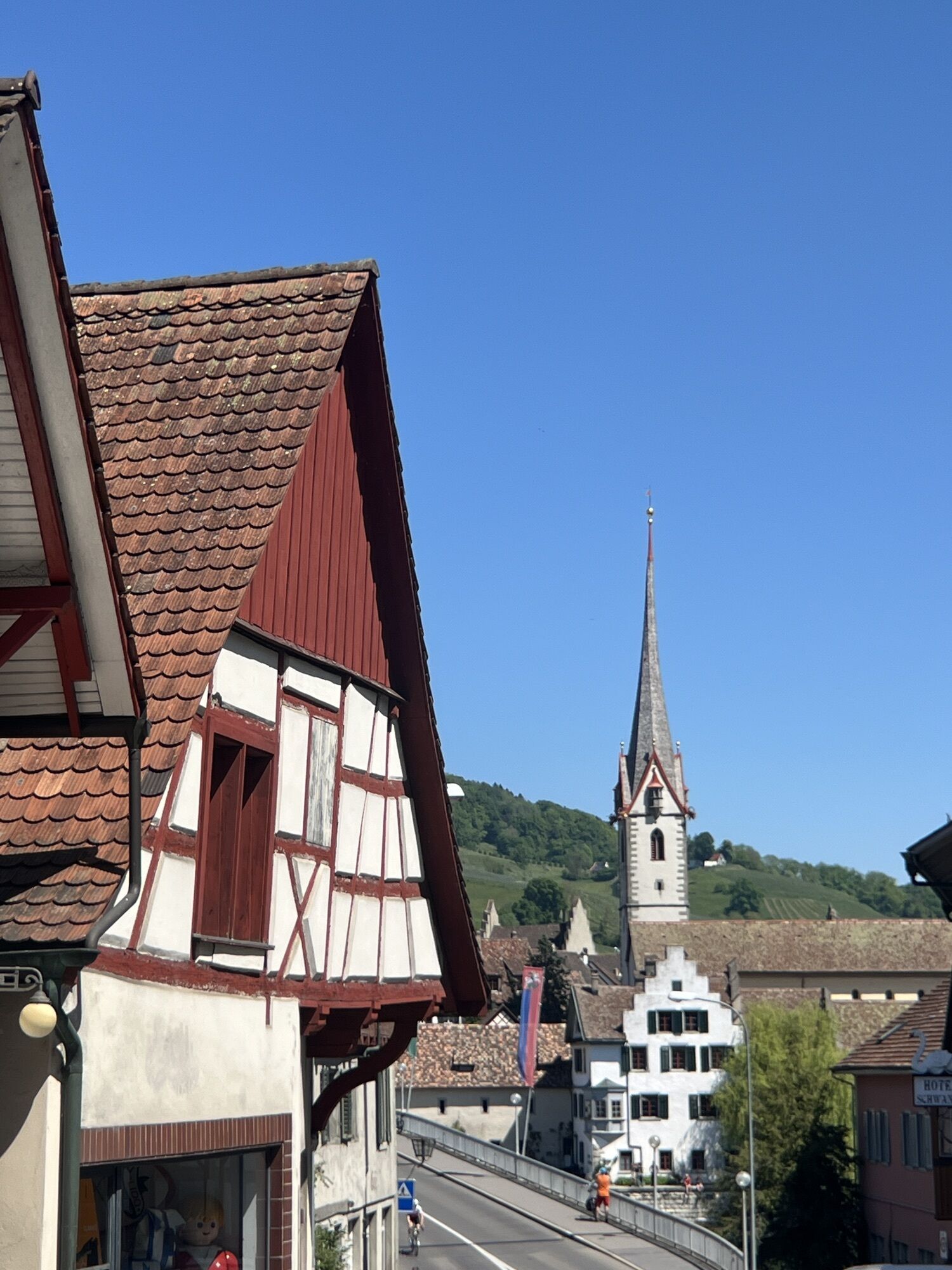
On this route, you cycle from Stein am Rhein along the Rhine to Schaffhausen. This section of the Rhine is one of the most beautiful river stretches in Europe. Enjoy a ride full of cultural highlights...
On this route, you cycle from Stein am Rhein along the Rhine to Schaffhausen. This section of the Rhine is one of the most beautiful river stretches in Europe. Enjoy a ride full of cultural highlights and natural beauties. The gem Stein am Rhein is famous for its well-preserved old town center and its painted house facades. The old town of Schaffhausen impresses with its narrow alleys, 171 bays, and the "Munot" fortress, the landmark of the city.
On the ride from Stein am Rhein to Schaffhausen, it is worthwhile to take short breaks and dangle your feet in the water. Depending on the season, a jump into the cool waters of the Rhine is also recommended.
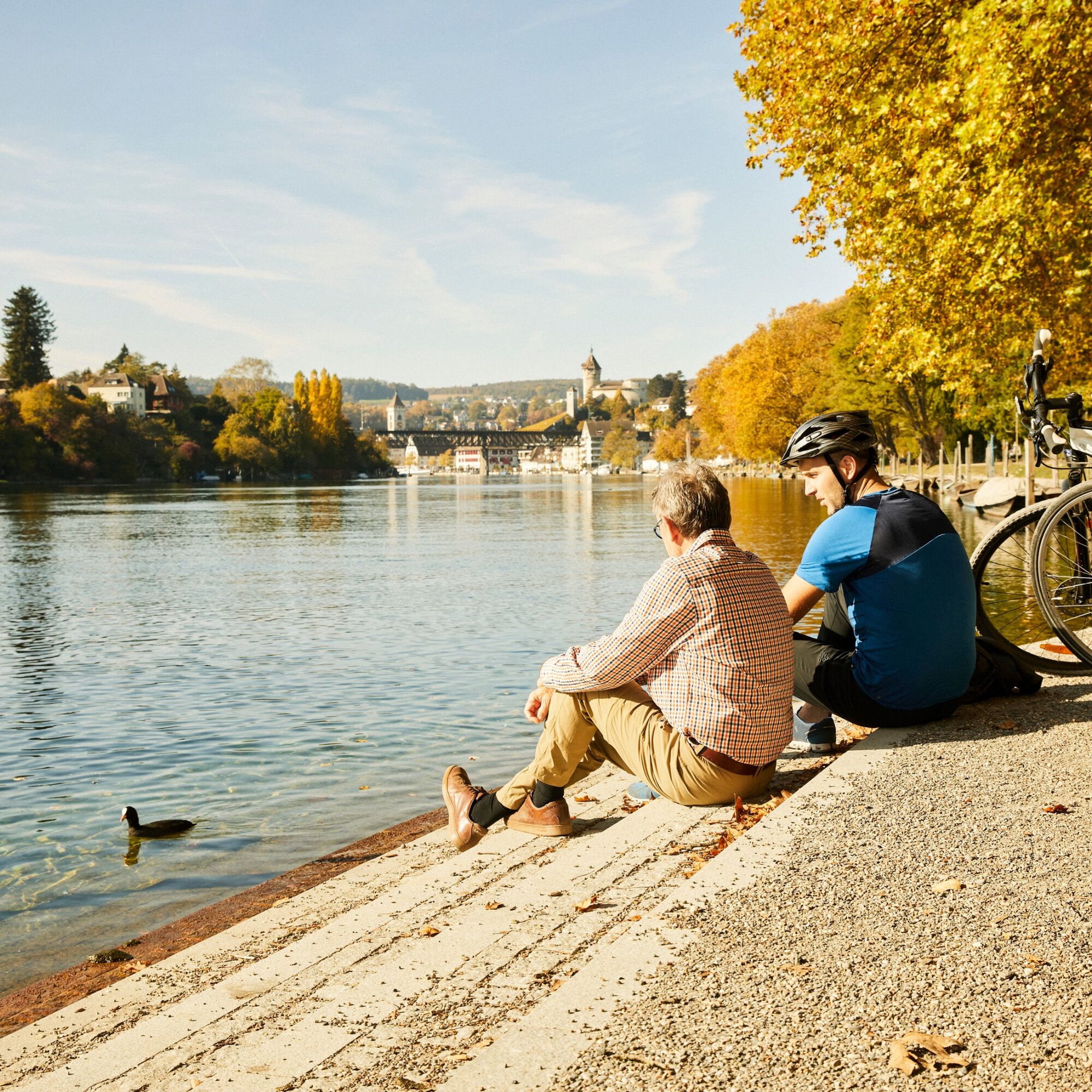
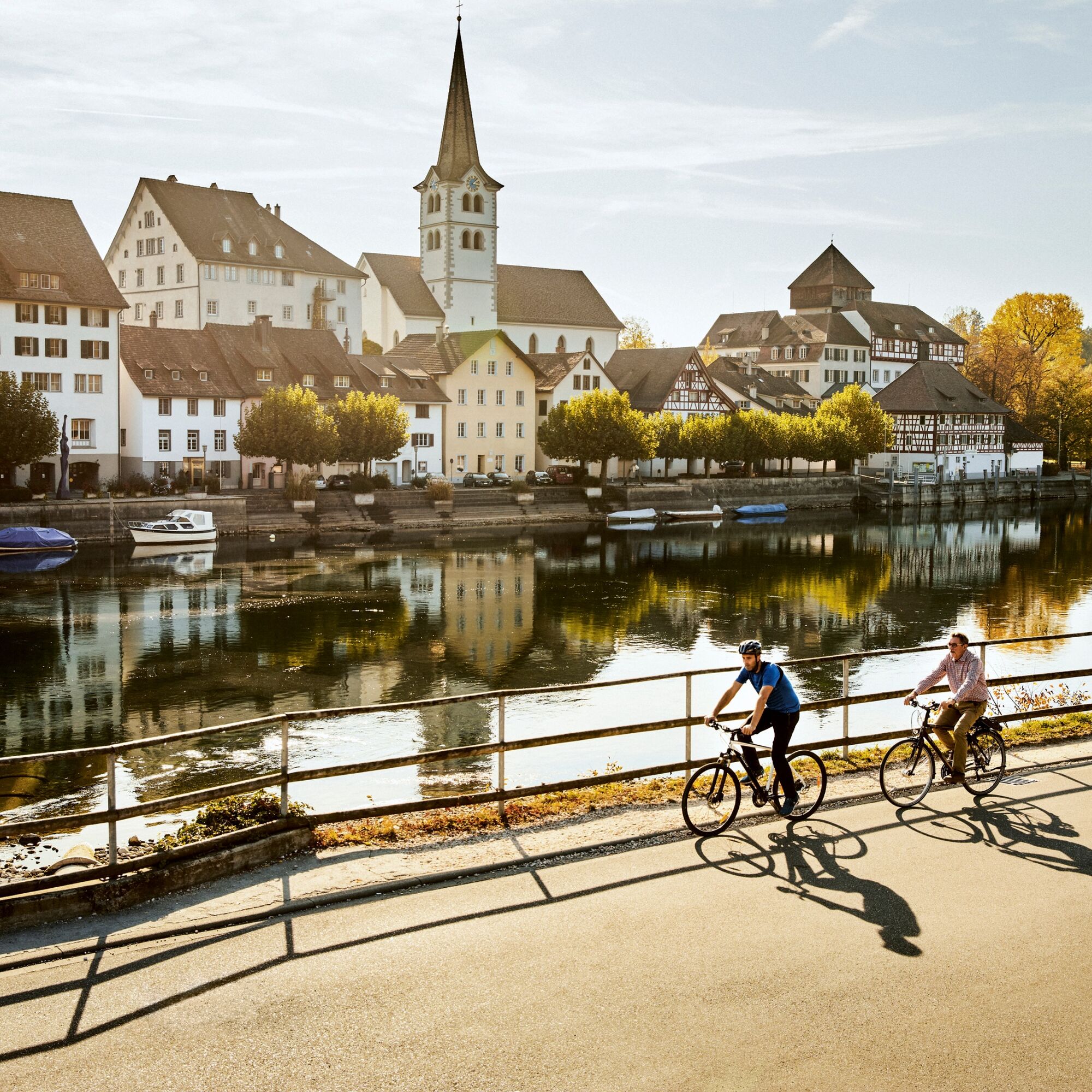
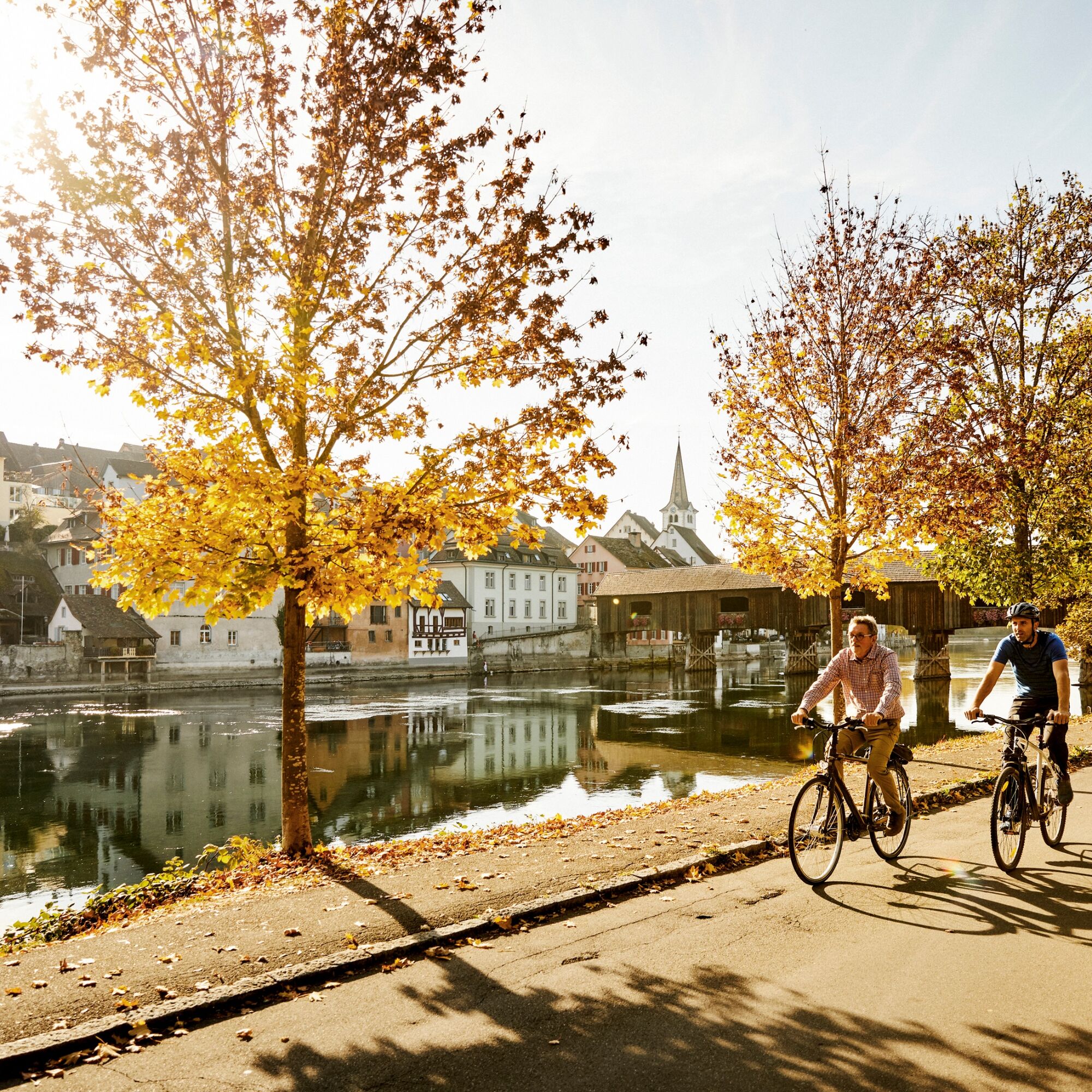
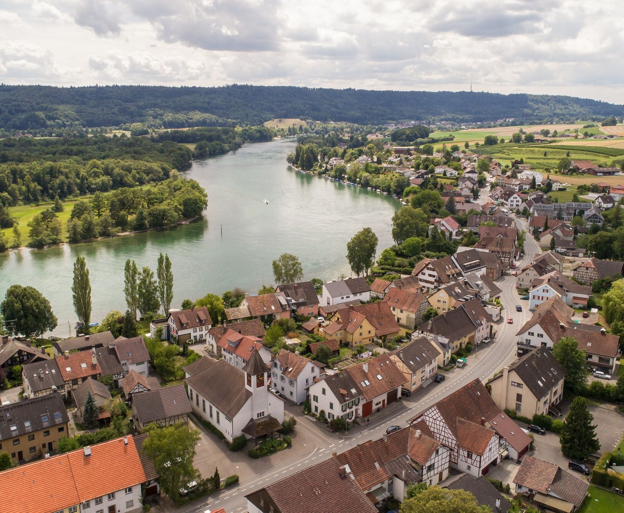
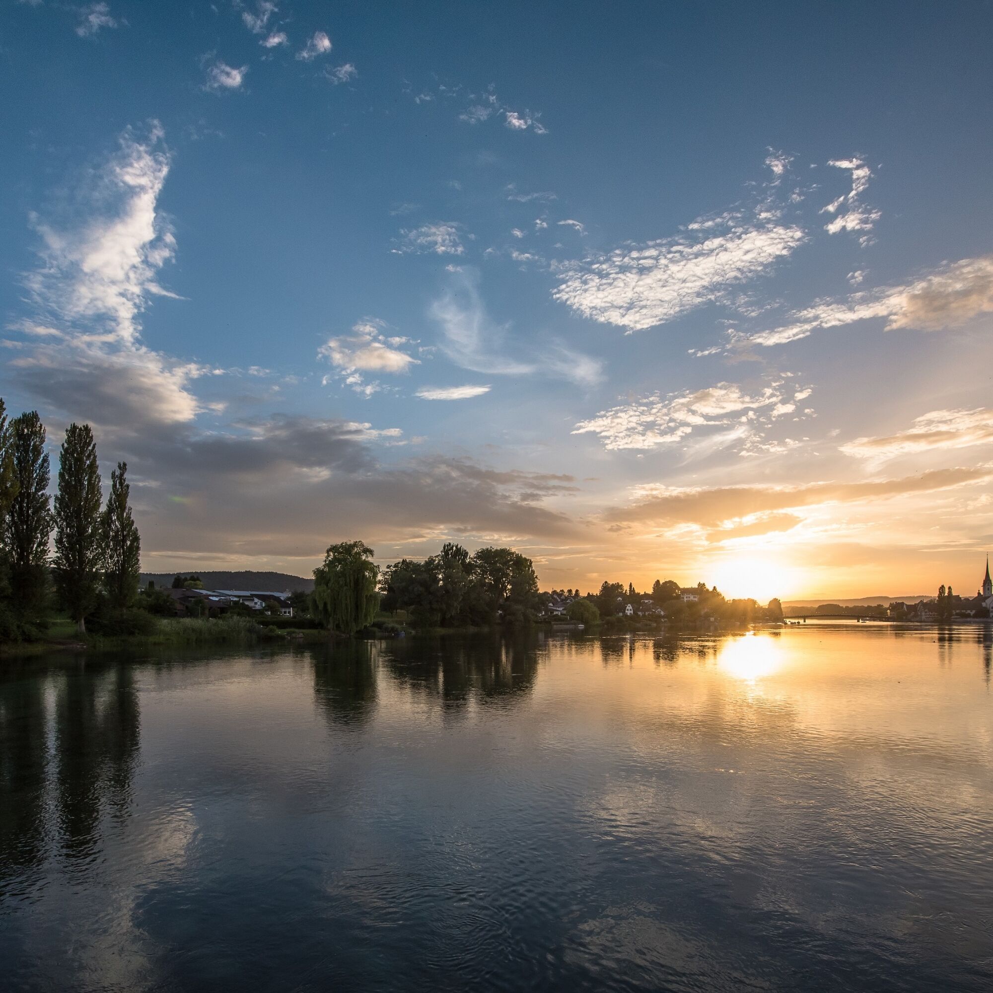
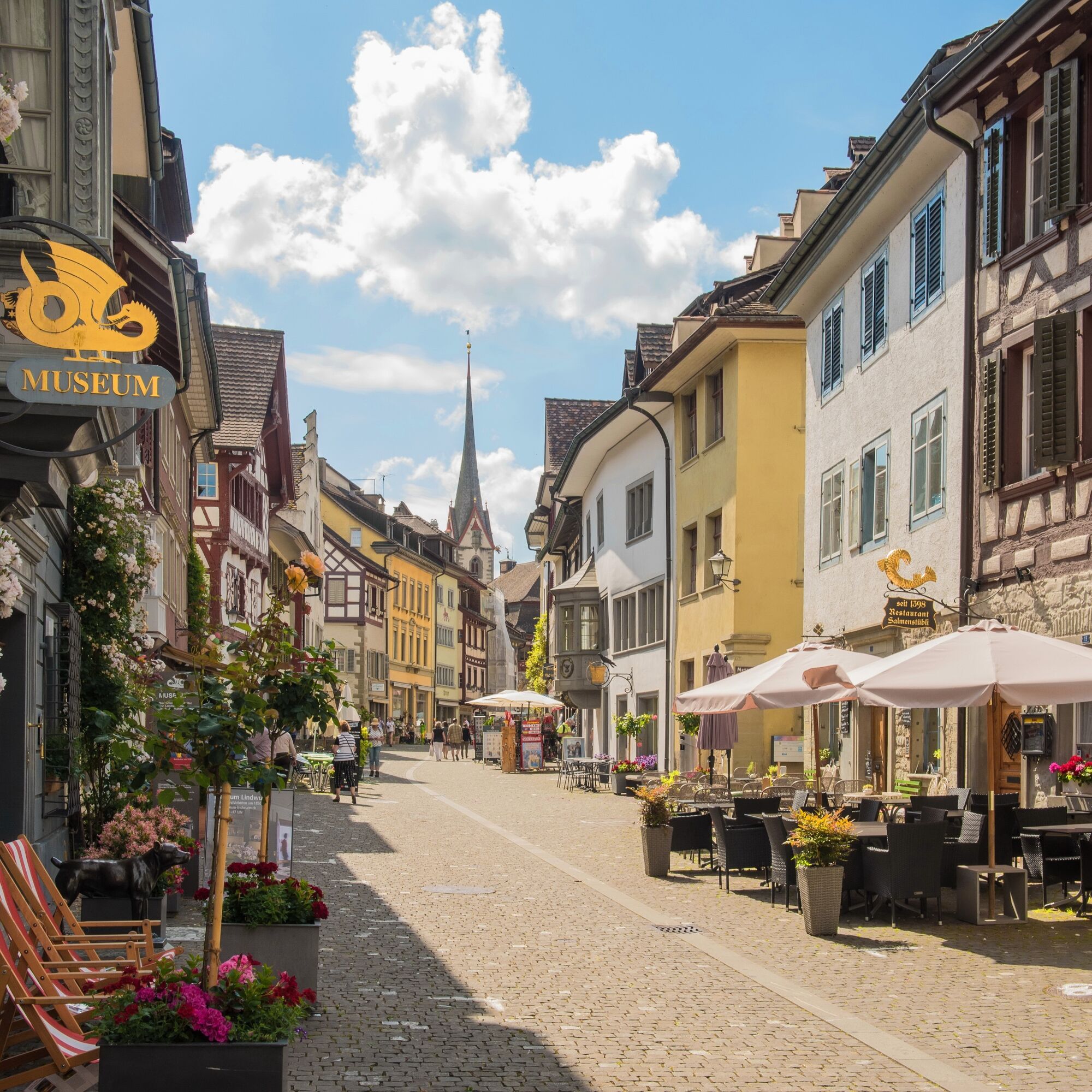

Stein am Rhein - Hemishofen - Gailingen - Schaffhausen - Diessenhofen - Stein am Rhein
From Stein am Rhein to Schaffhausen, you follow the SwitzerlandMobile Rhine Route No. 2. Upon reaching the Schifflände in Schaffhausen, you cross the bridge to Feuerthalen and follow the SwitzerlandMobile Seerücken Route No. 82 to Diessenhofen. Upon arrival in Diessenhofen, the path continues with views of the Rhine to Rheinklingen, Wagenhausen, and back to Stein am Rhein.
Roadworthy bicycle, bike helmet, valid ID, drinks and snacks for in between.
The route partly goes along main roads. We recommend wearing a bike helmet.
Starting point: Stein am Rhein, train station
Route planner
Starting point: Stein am Rhein, train station
End point: Stein am Rhein, train station
Connection from Schaffhausen: Every half hour.
Parking facilities available at Stein am Rhein, train station.
3
Visit the Munot in Schaffhausen, the old town of Stein am Rhein, and enjoy a swim in the Rhine.

Kamery internetowe z trasy
Uzyskaj wgląd
Zawsze na żywo z ponad 9 500 kamer internetowych. bergfex Jako użytkownik Pro, możesz teraz zobaczyć odpowiednie kamery internetowe dla wielu wycieczek w aplikacji wycieczki od. Pozwala to na bezpośredni podgląd aktualnych warunków.

Popularne wycieczki w okolicy
-
4,7
Small Rheinfall Circular Route
światłoWędrówka 3,48 km -
4,8
Rundwanderweg Rheinau
światłoWędrówka 6,85 km -
Circular hike Schaffhausen - Rhine Falls - Schaffhausen
średniWędrówka 10,0 km -
5,0
Circular hike over the Hinterranden
średniWędrówka 11,0 km -
SwitzerlandMobility 896: Rhine Falls Circular Route
średniWędrówka 7,39 km -
4,5
Nature trail Merishausen: Brown route
średniTrasa tematyczna 11,4 km -
4,5
SchweizMobil 593: Nordspitze Panoramaweg
średniWędrówka 13,7 km -
Stein am Rhein - Hohenklingen Castle - Stein am Rhein
średniWędrówka 7,79 km -
5,0
"Hegauer Kegelspiel" Hohentwieler
średniWędrówka 7,21 km -
3,0
"Hegauer Kegelspiel" Grenzgänger
światłoWędrówka 12,6 km
Wędrówki i tropienie


Nie przegap ofert i inspiracji na następne wakacje
Twój adres e-mail została dodana do listy mailingowej.





