





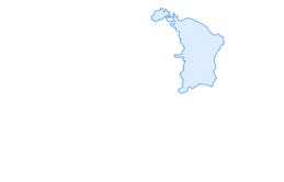

Maschgenkamm - Murgsee

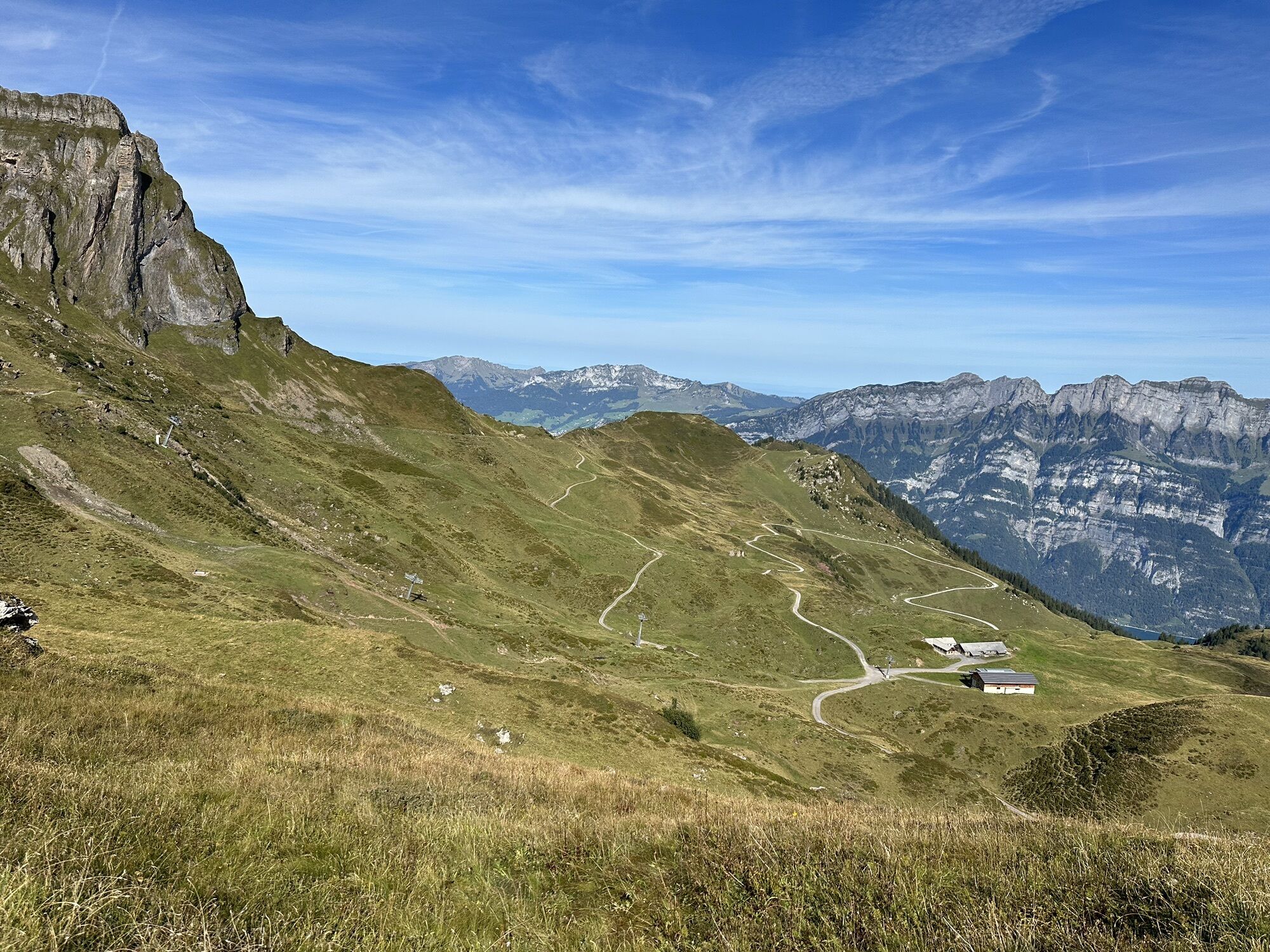
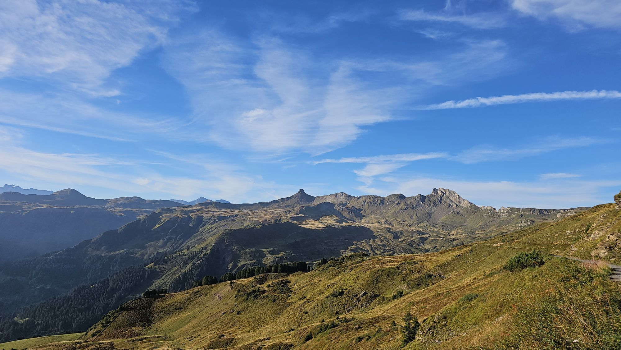
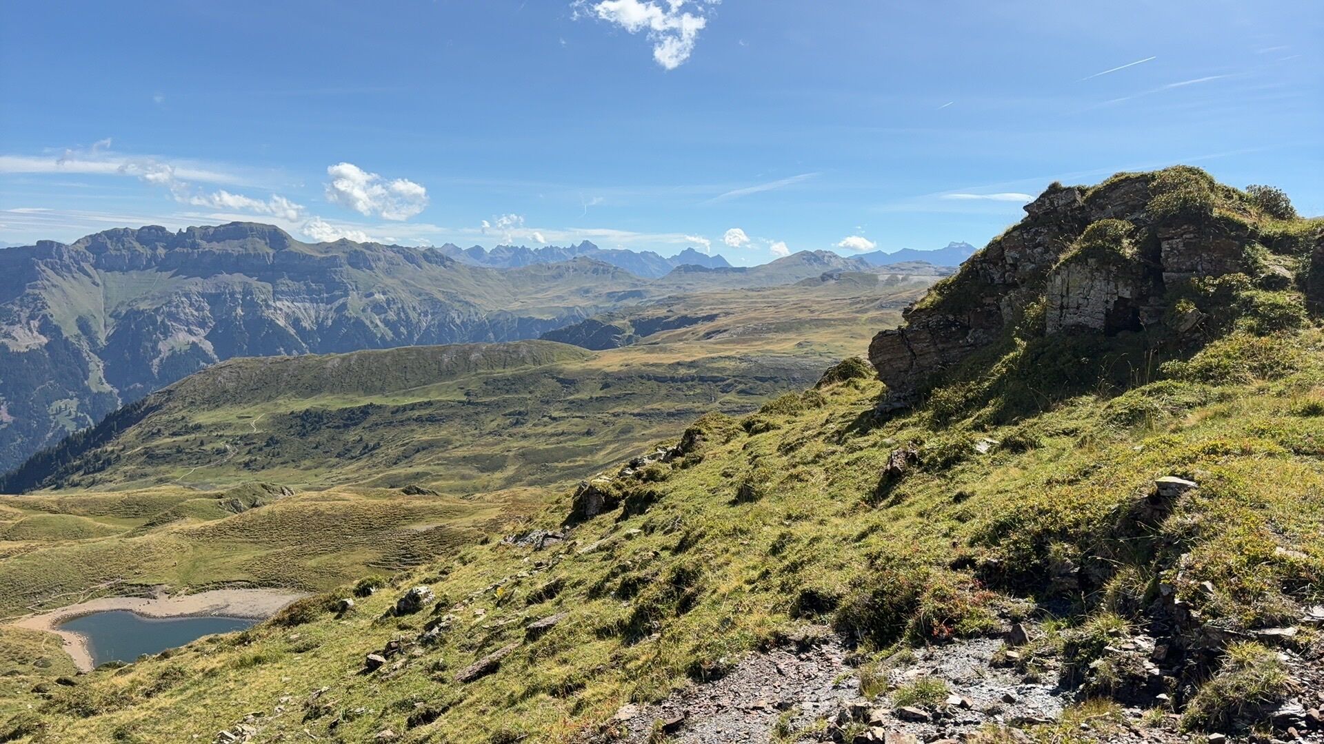
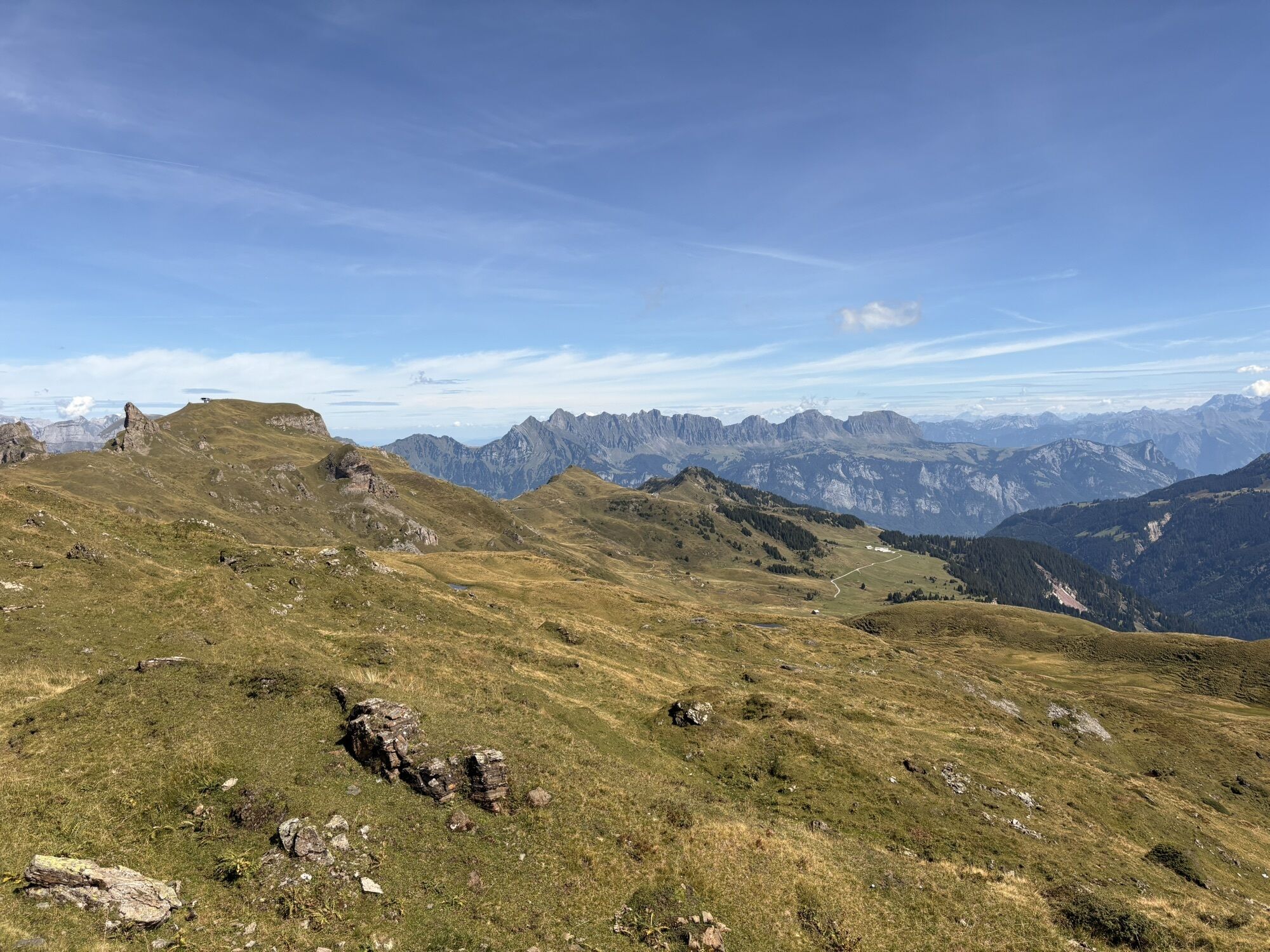
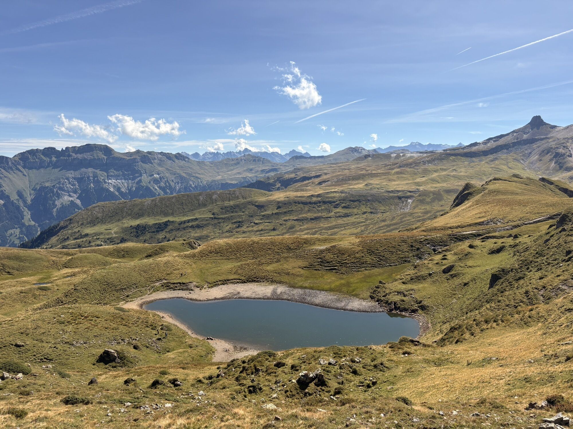
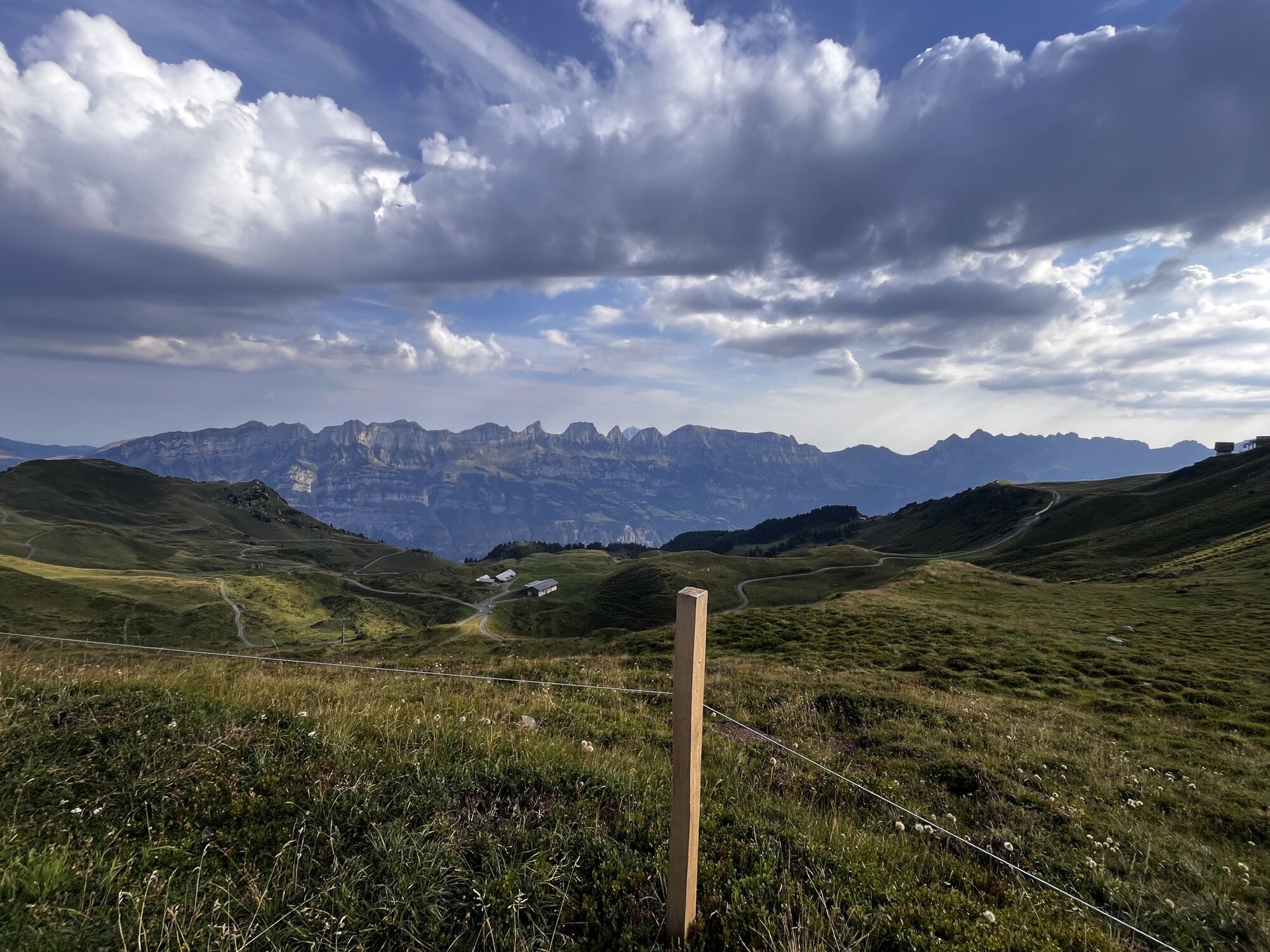
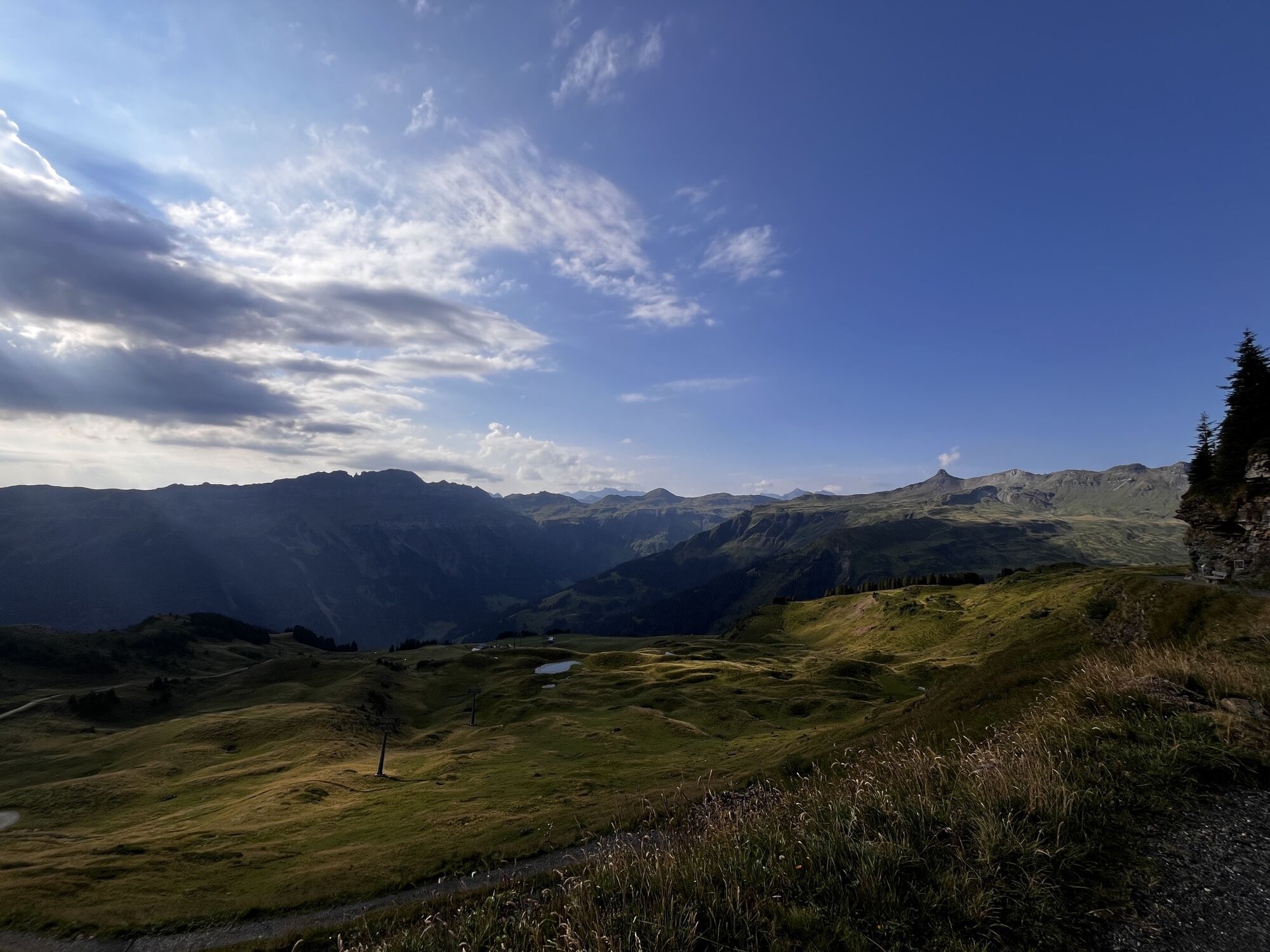
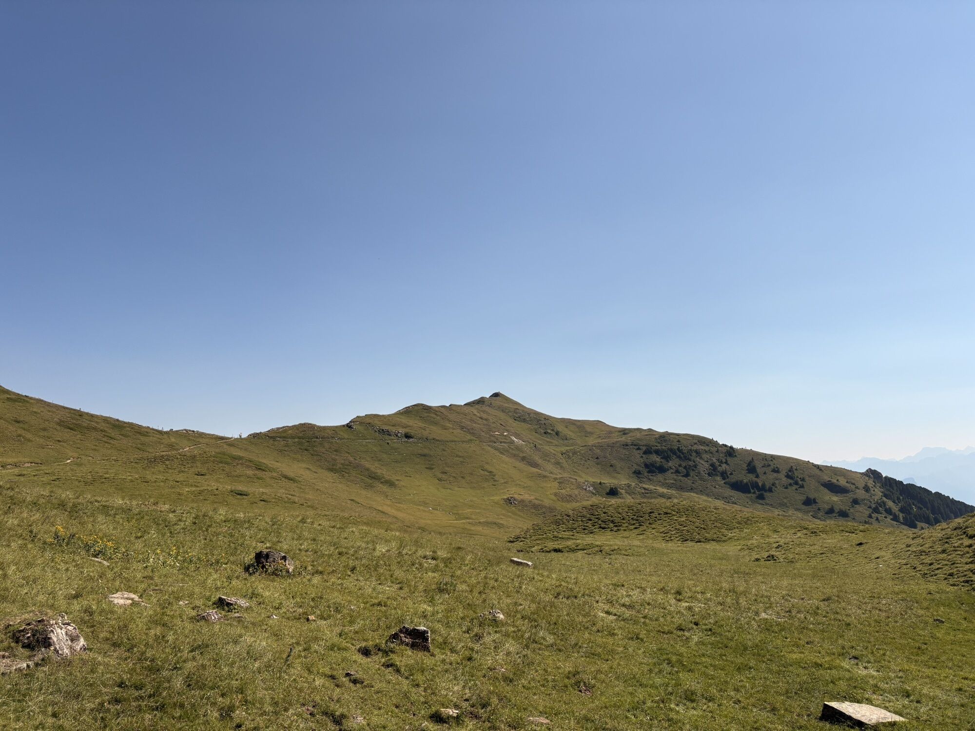
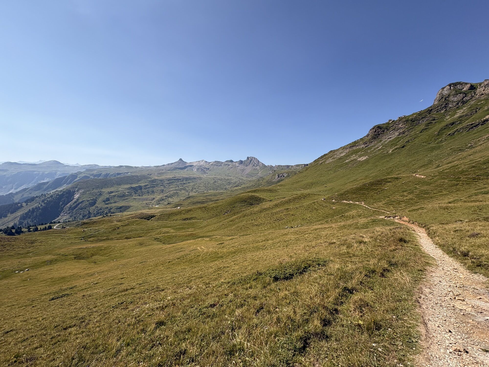
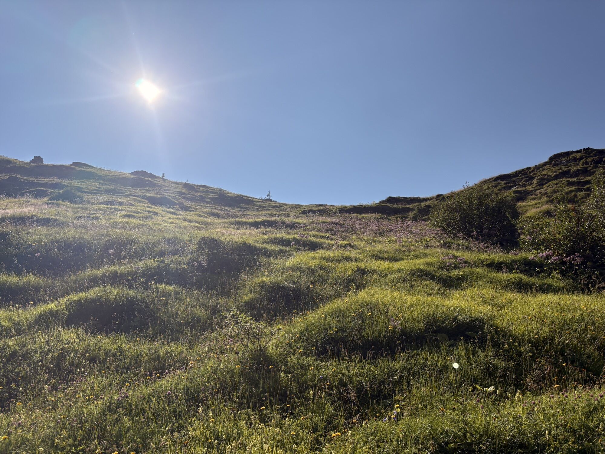

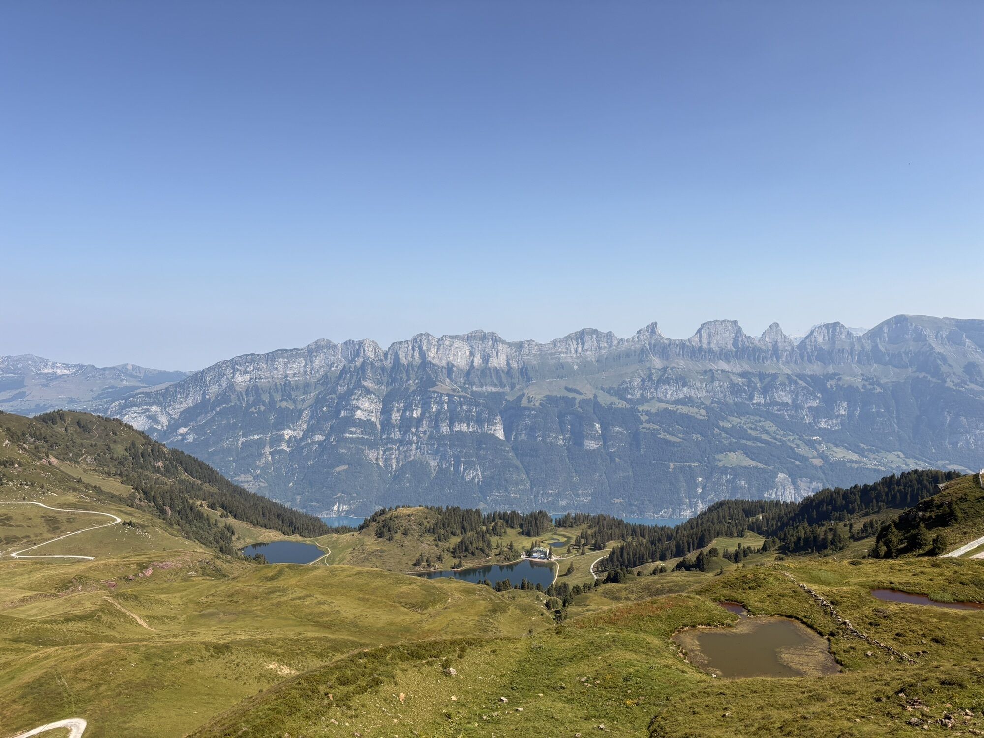
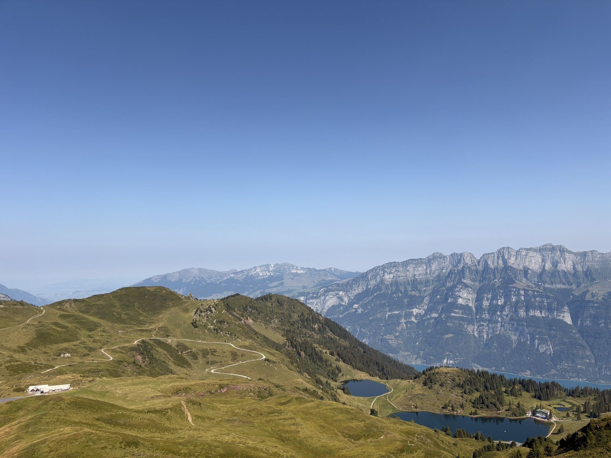
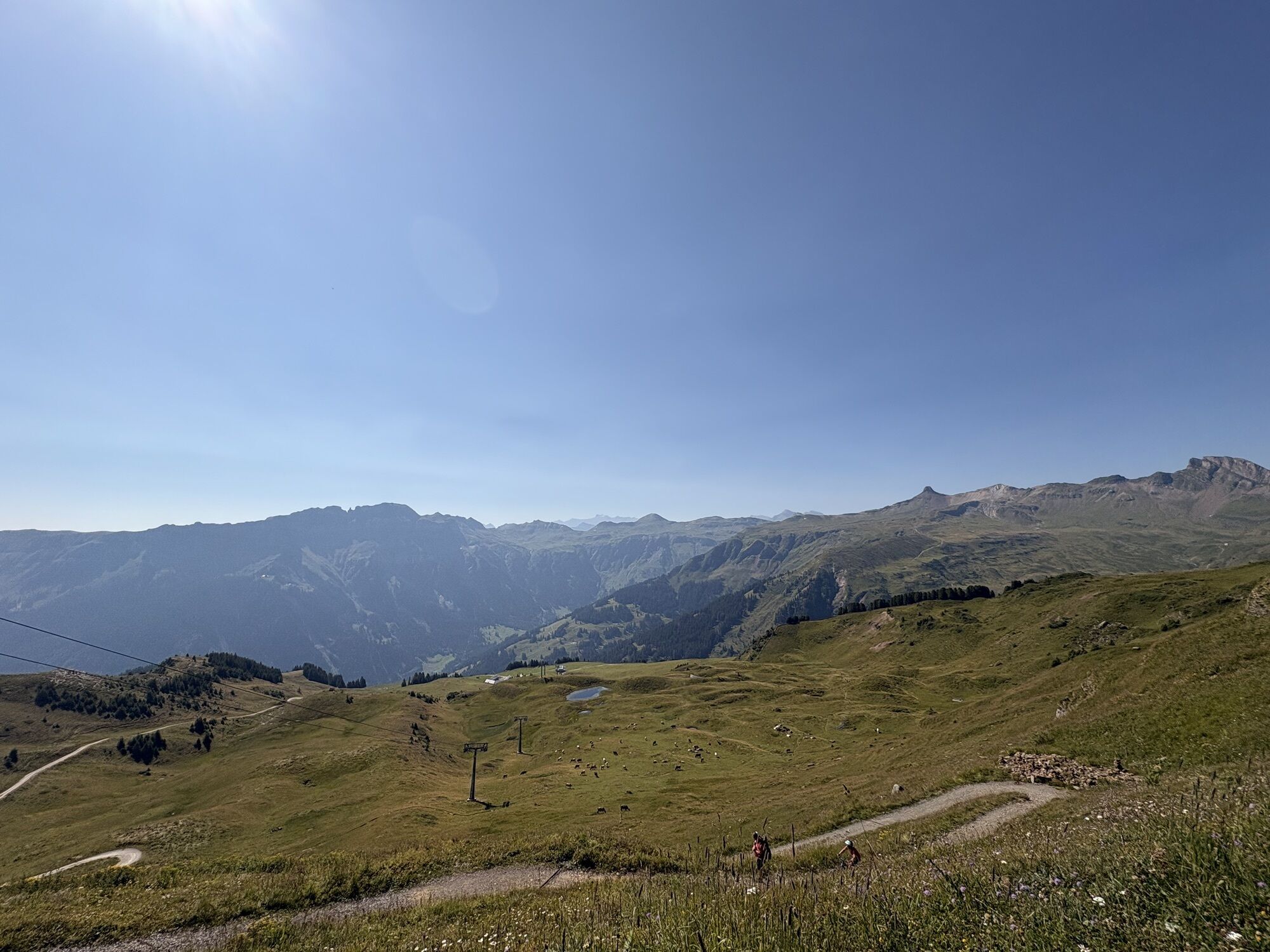
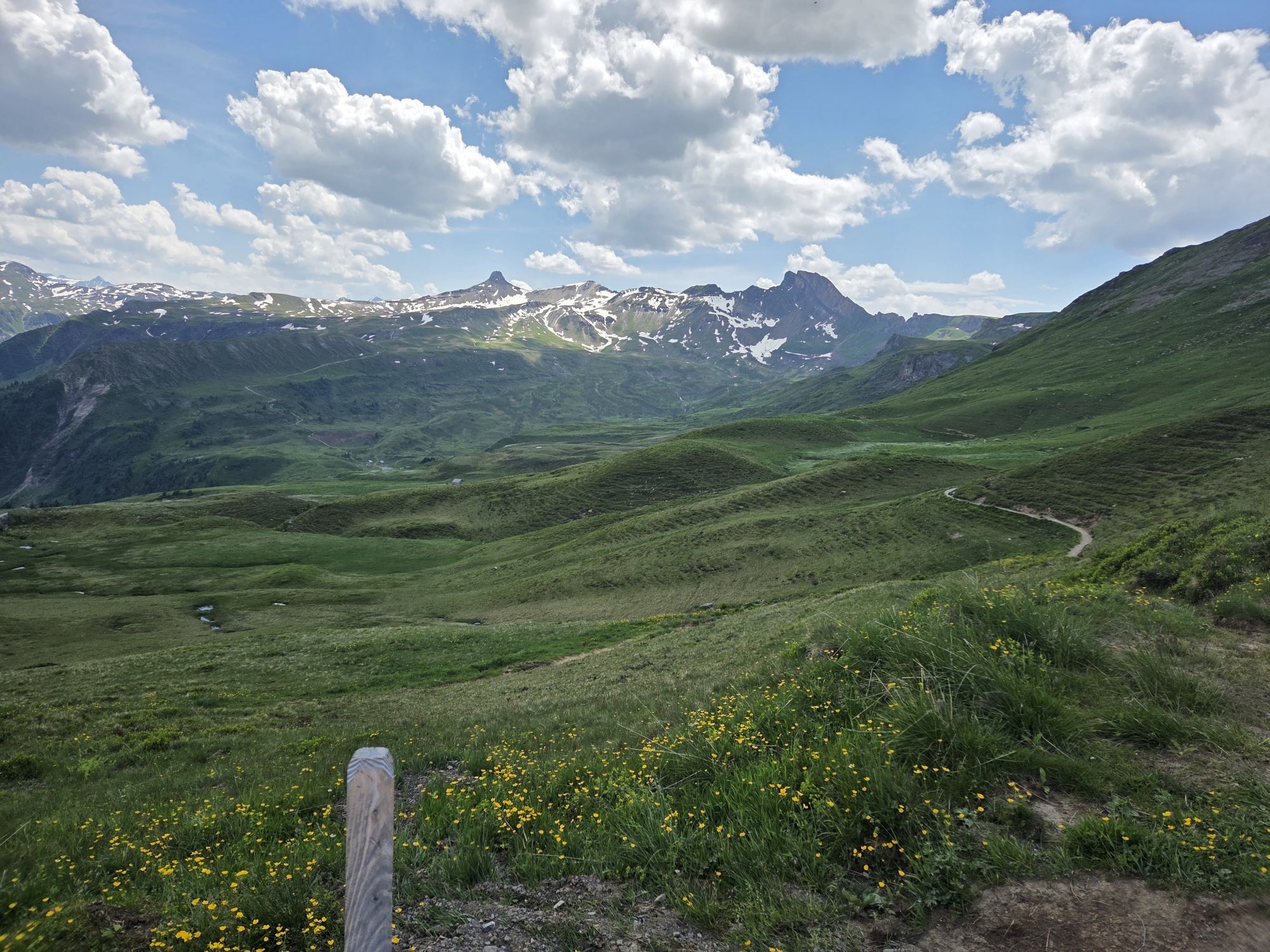
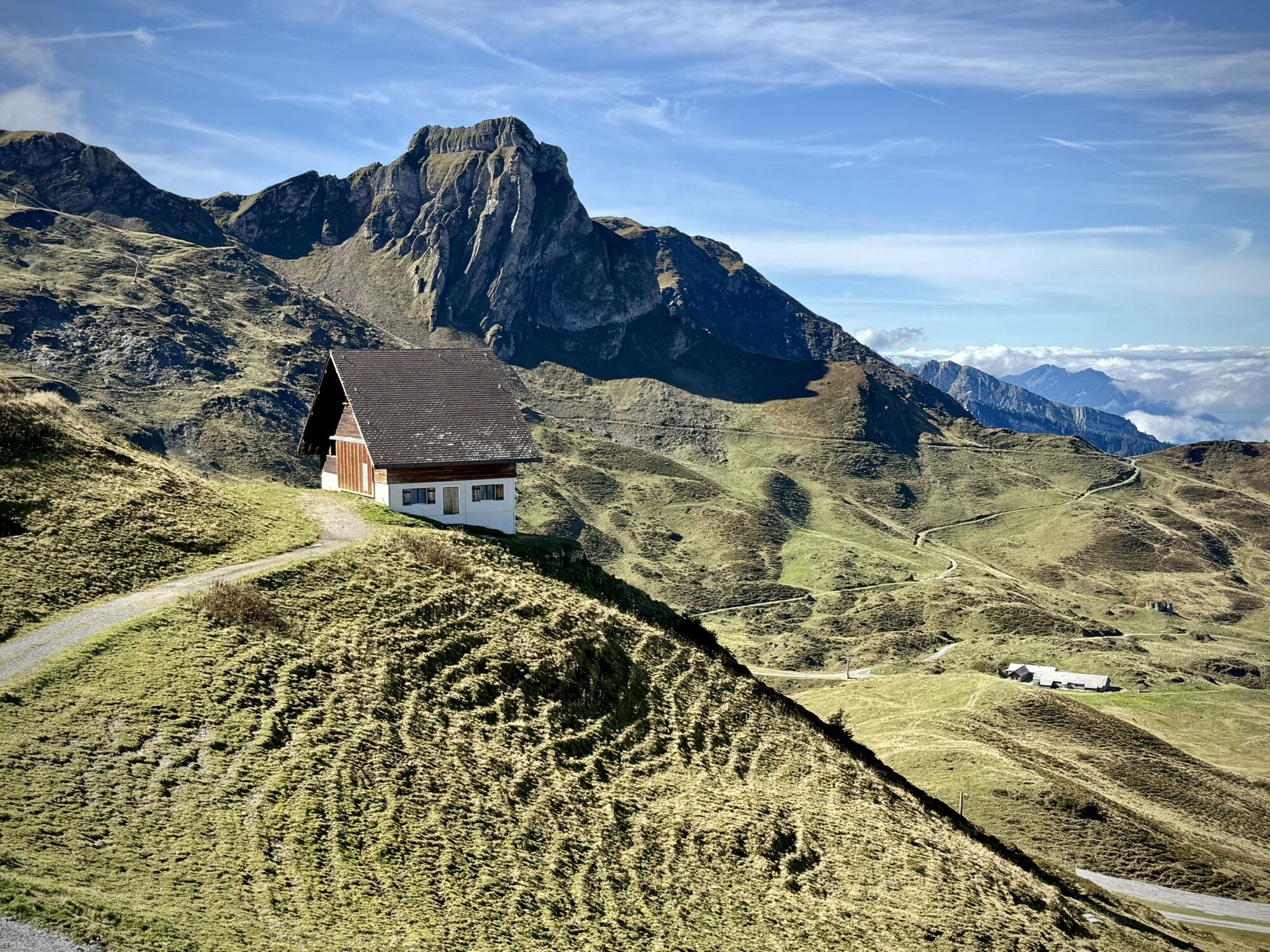
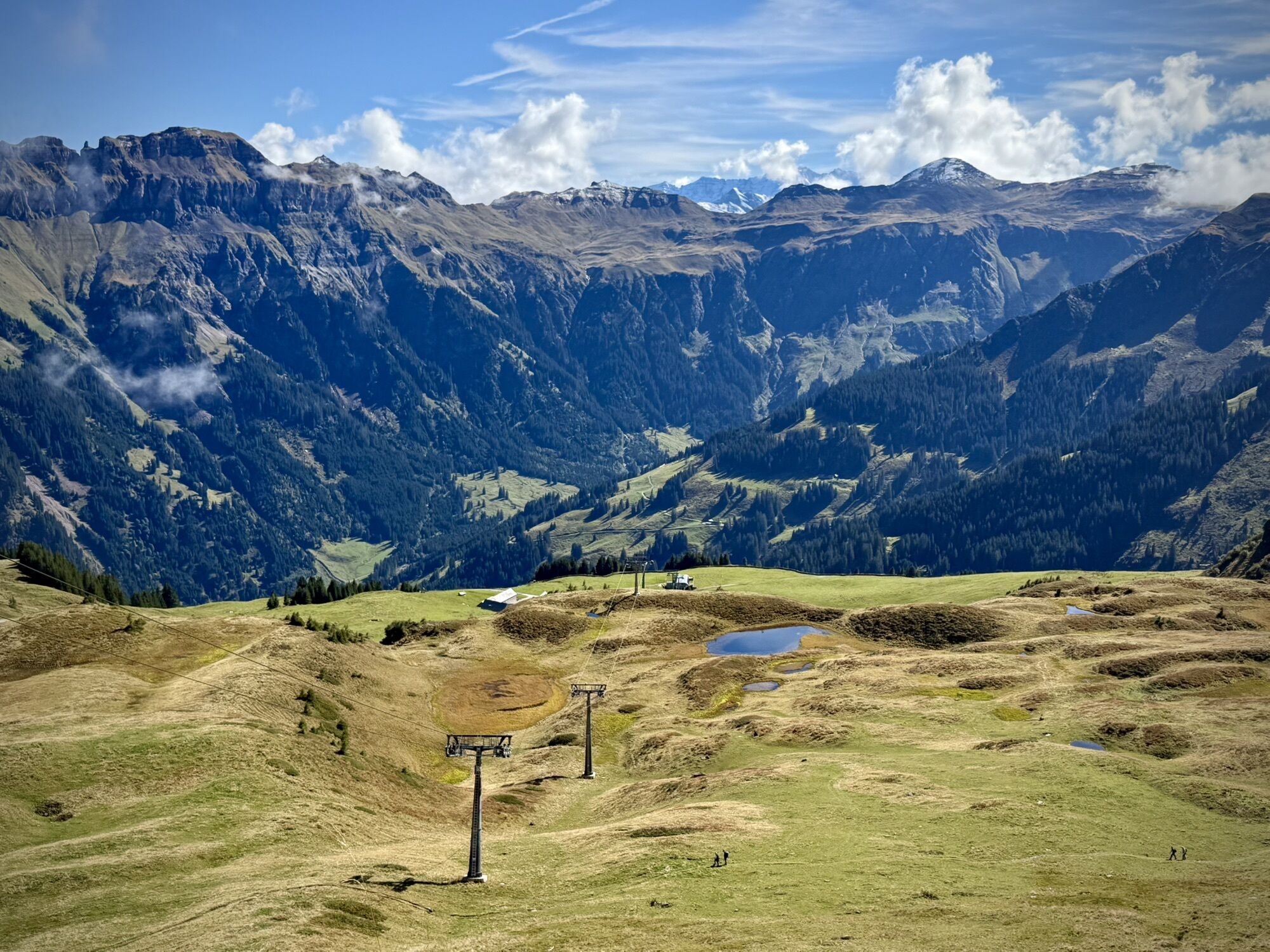
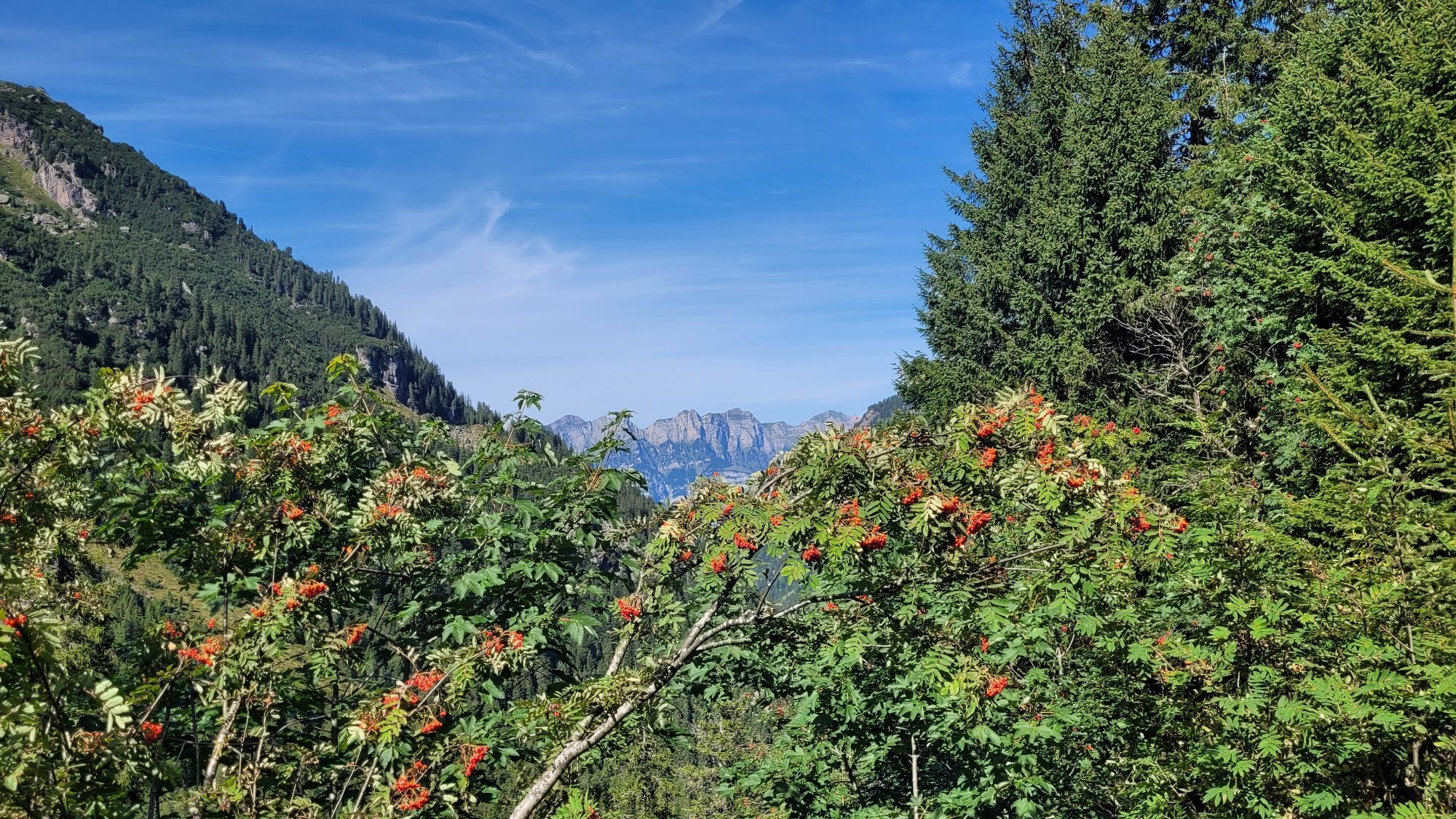
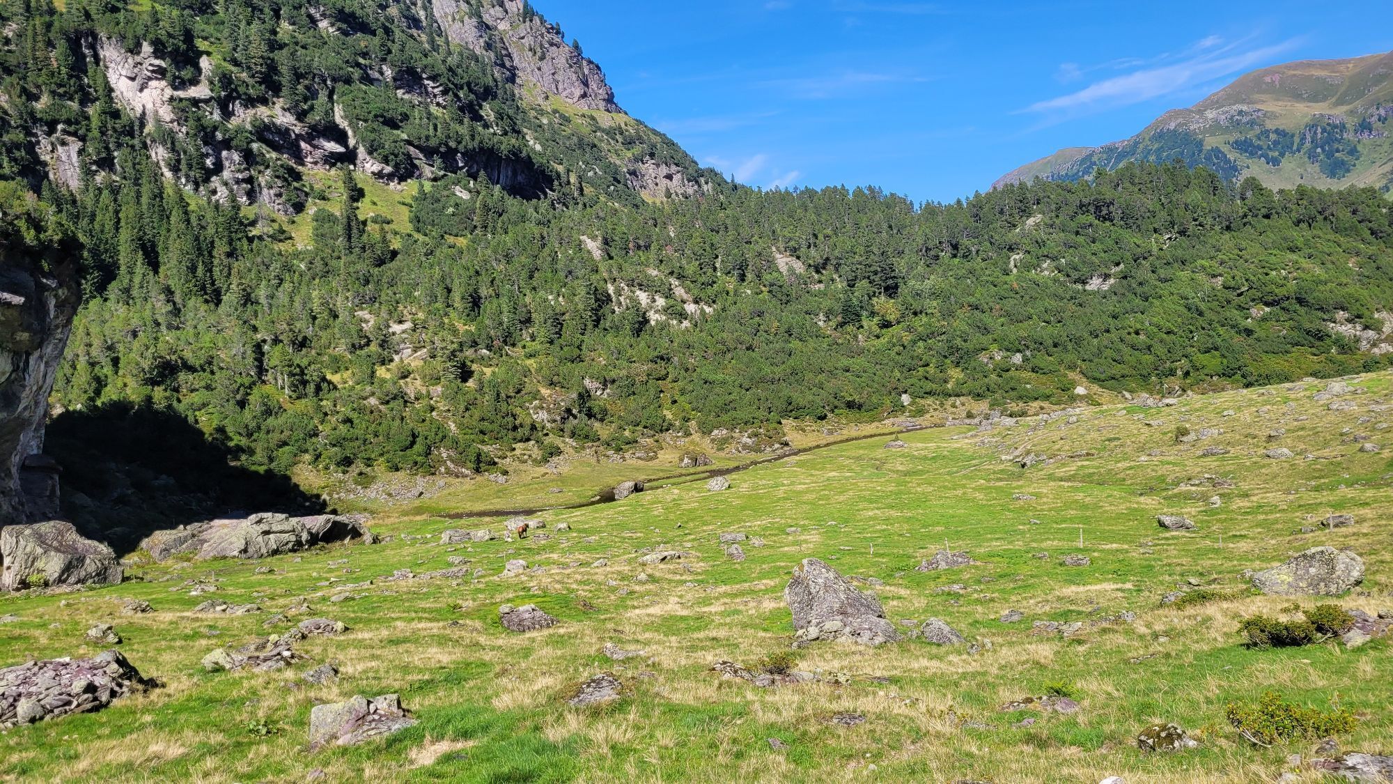
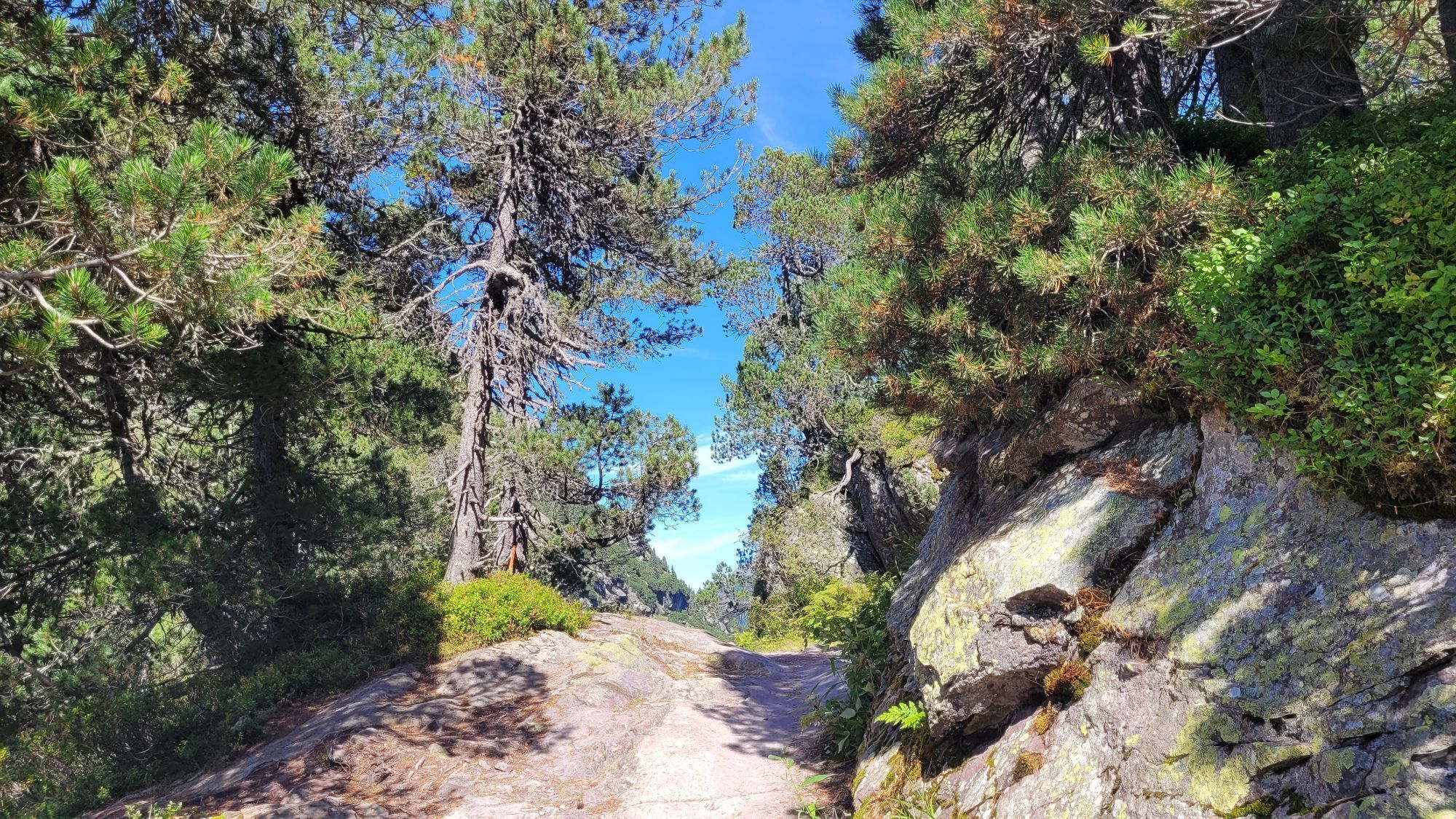
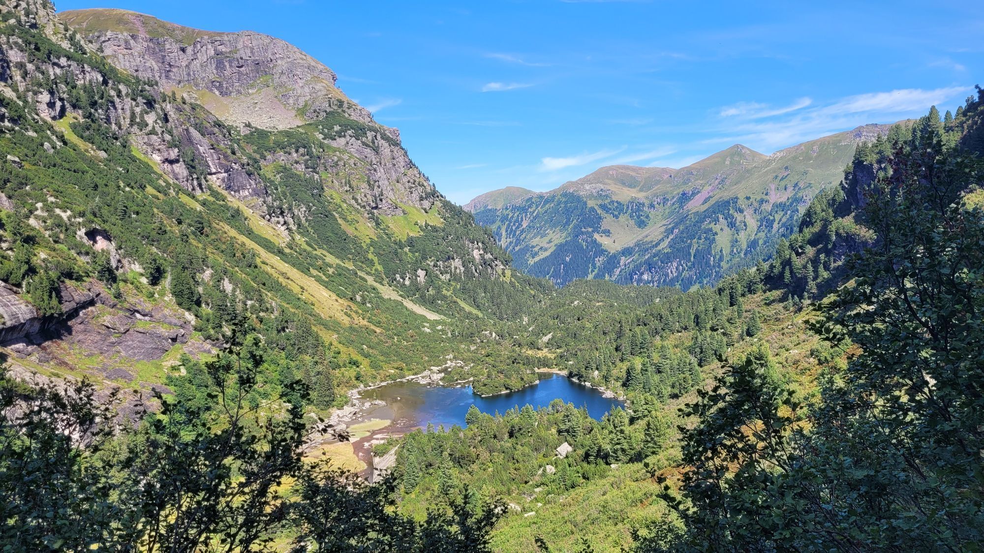
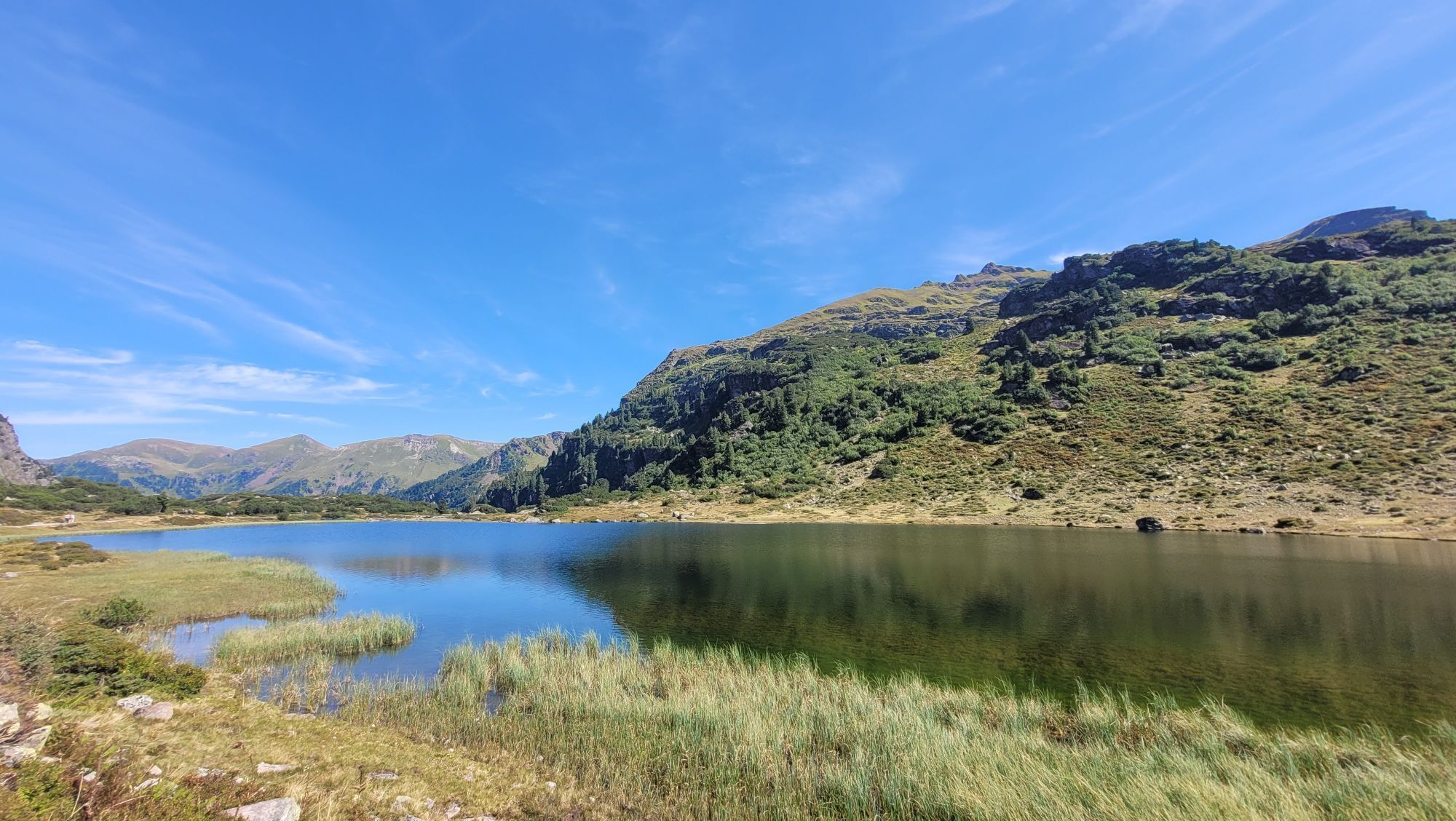
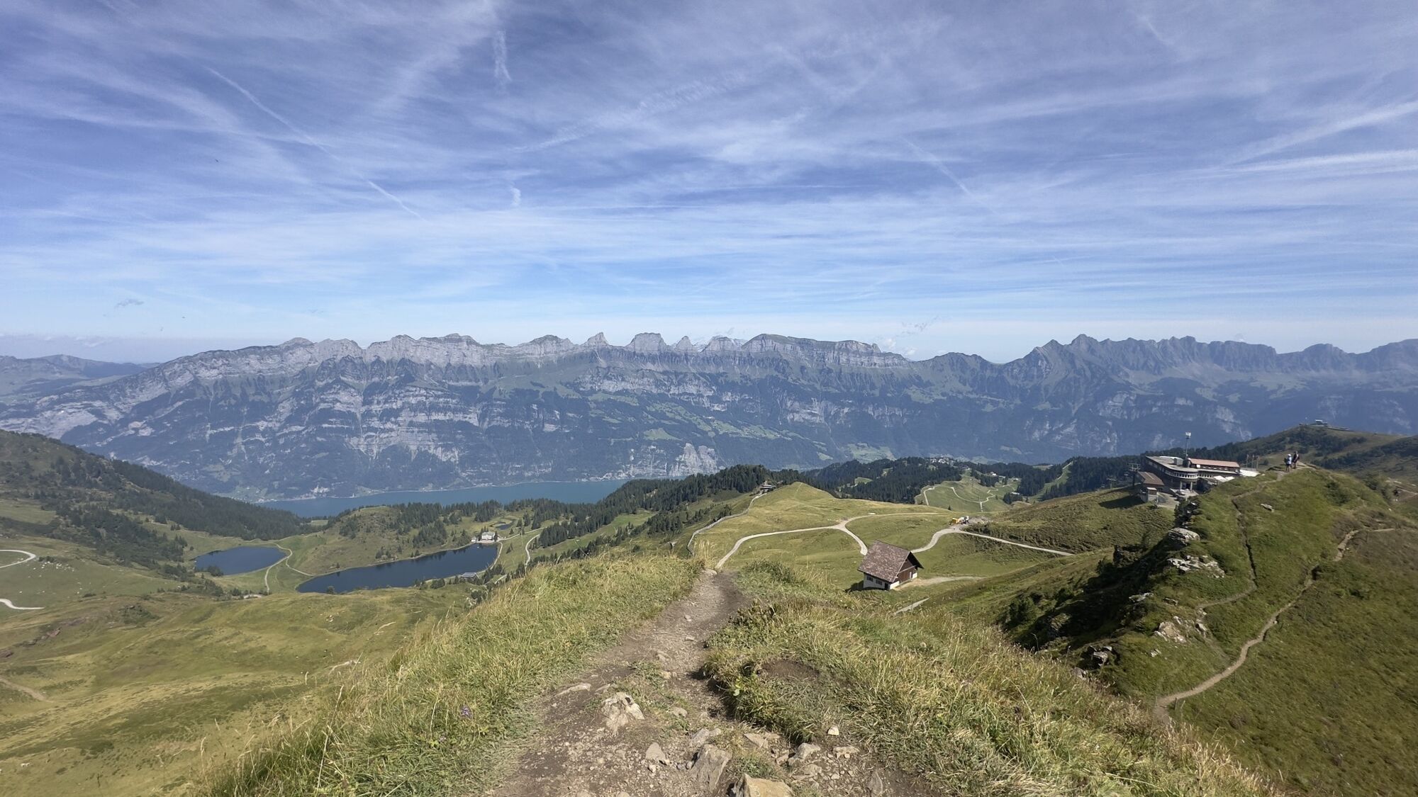
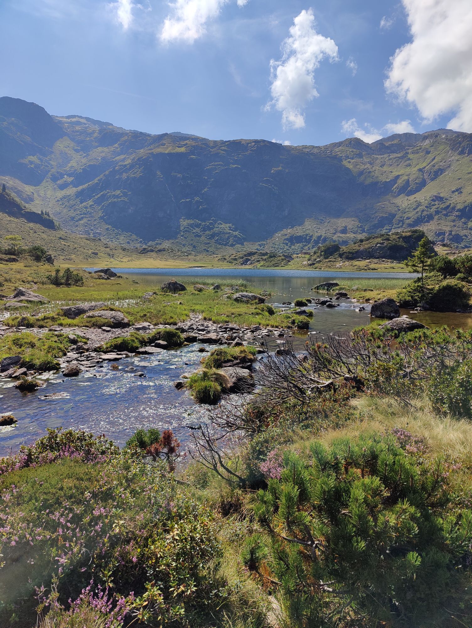
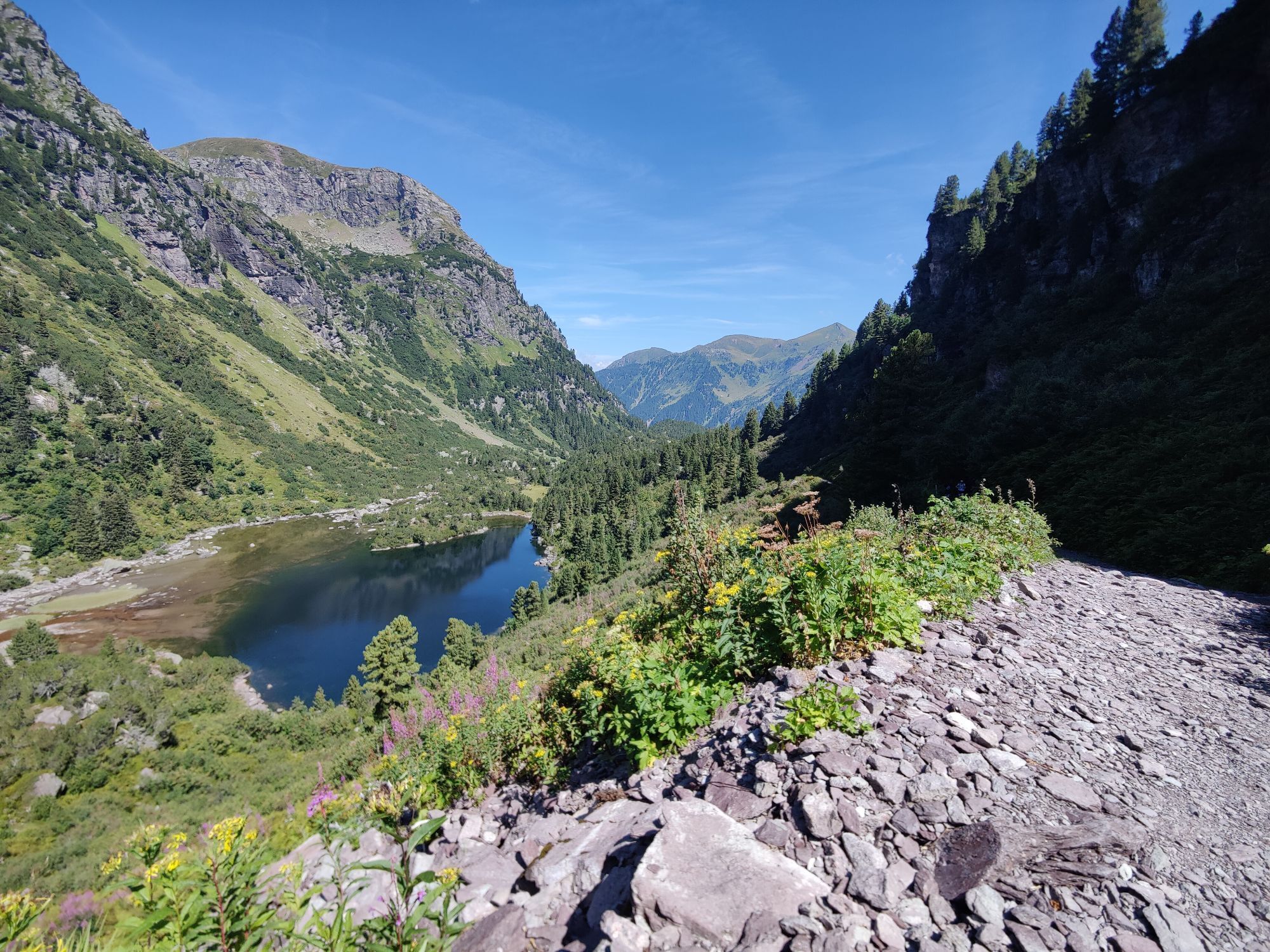
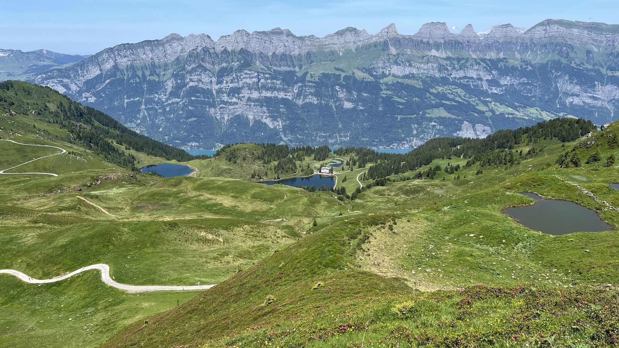
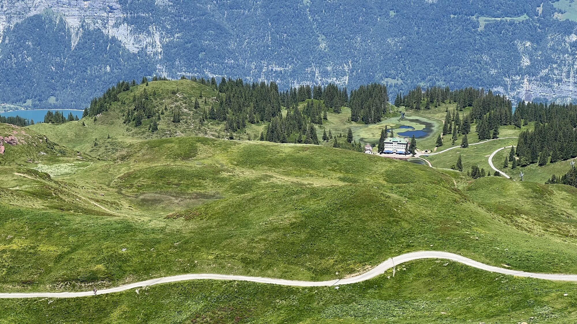

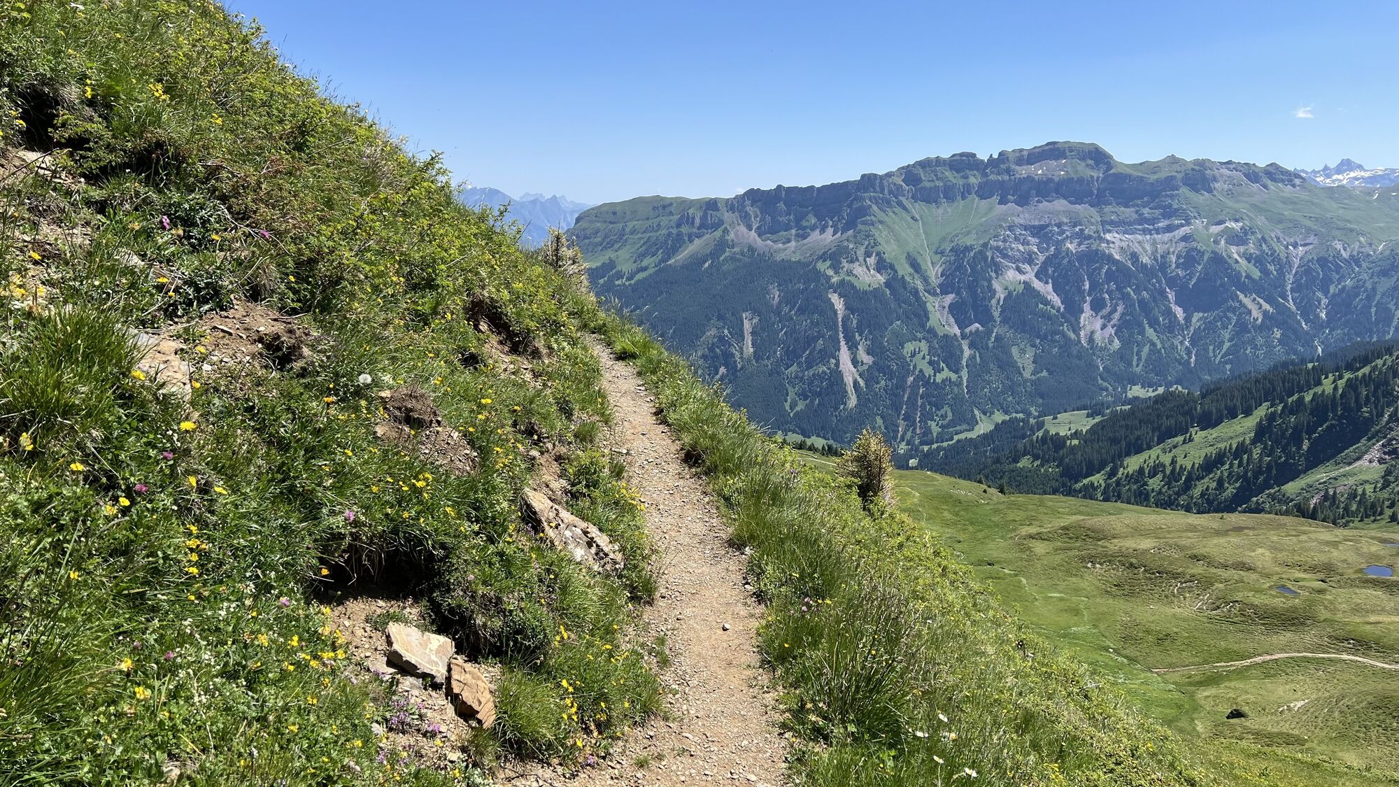
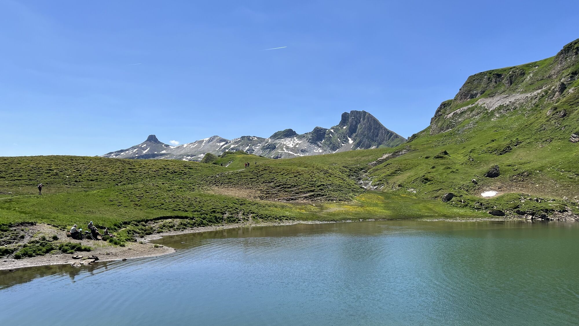
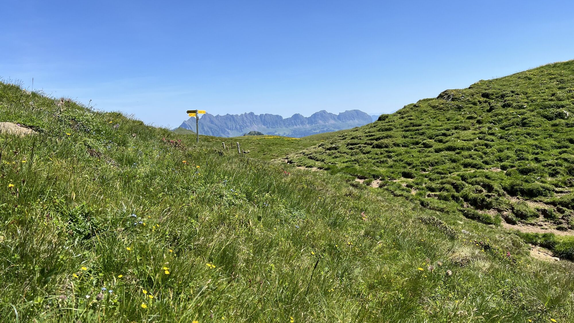
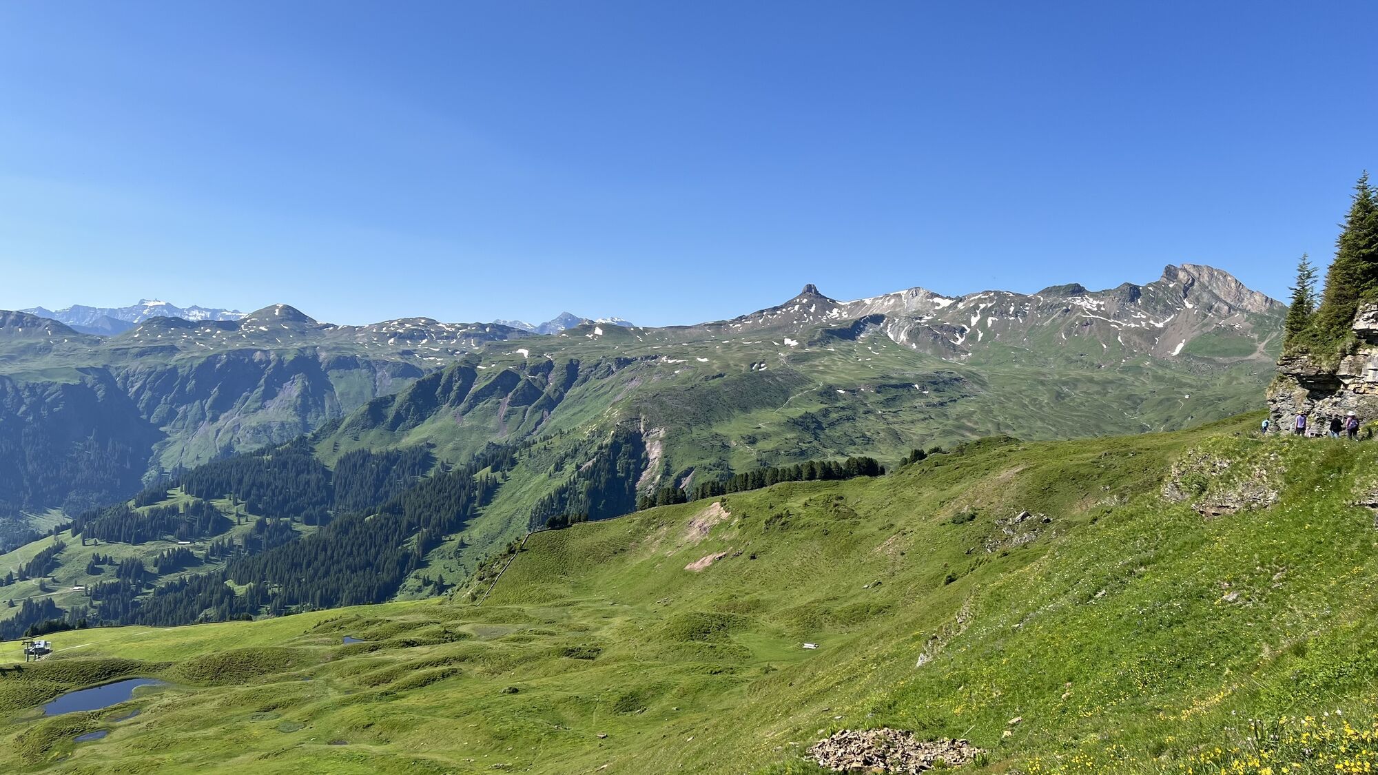
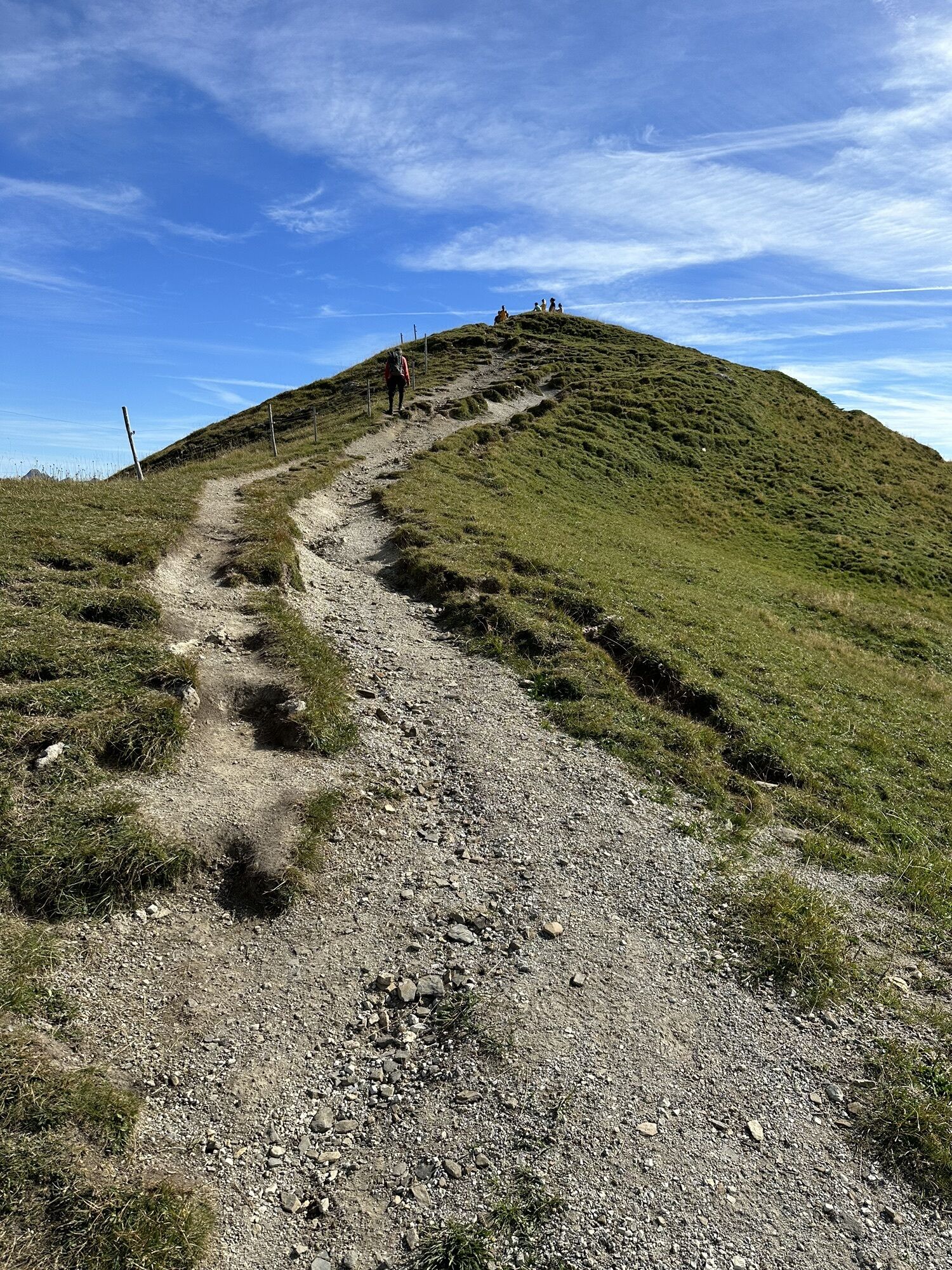
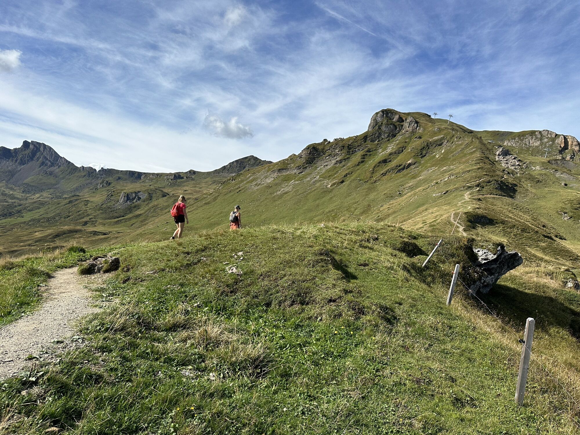
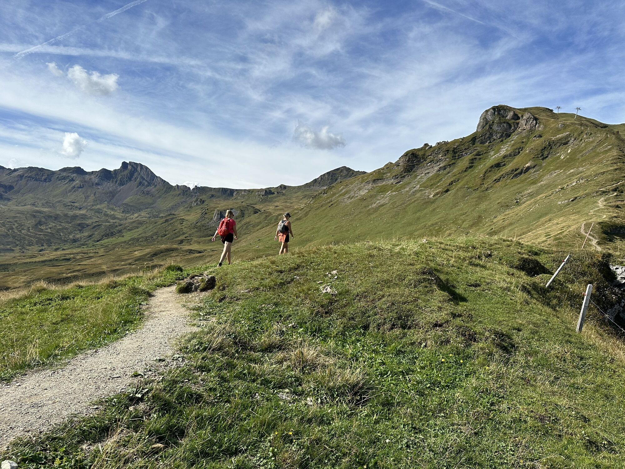
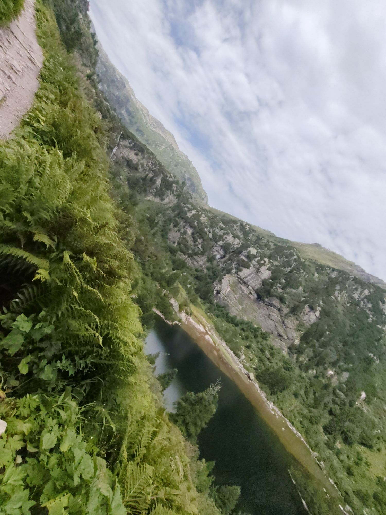
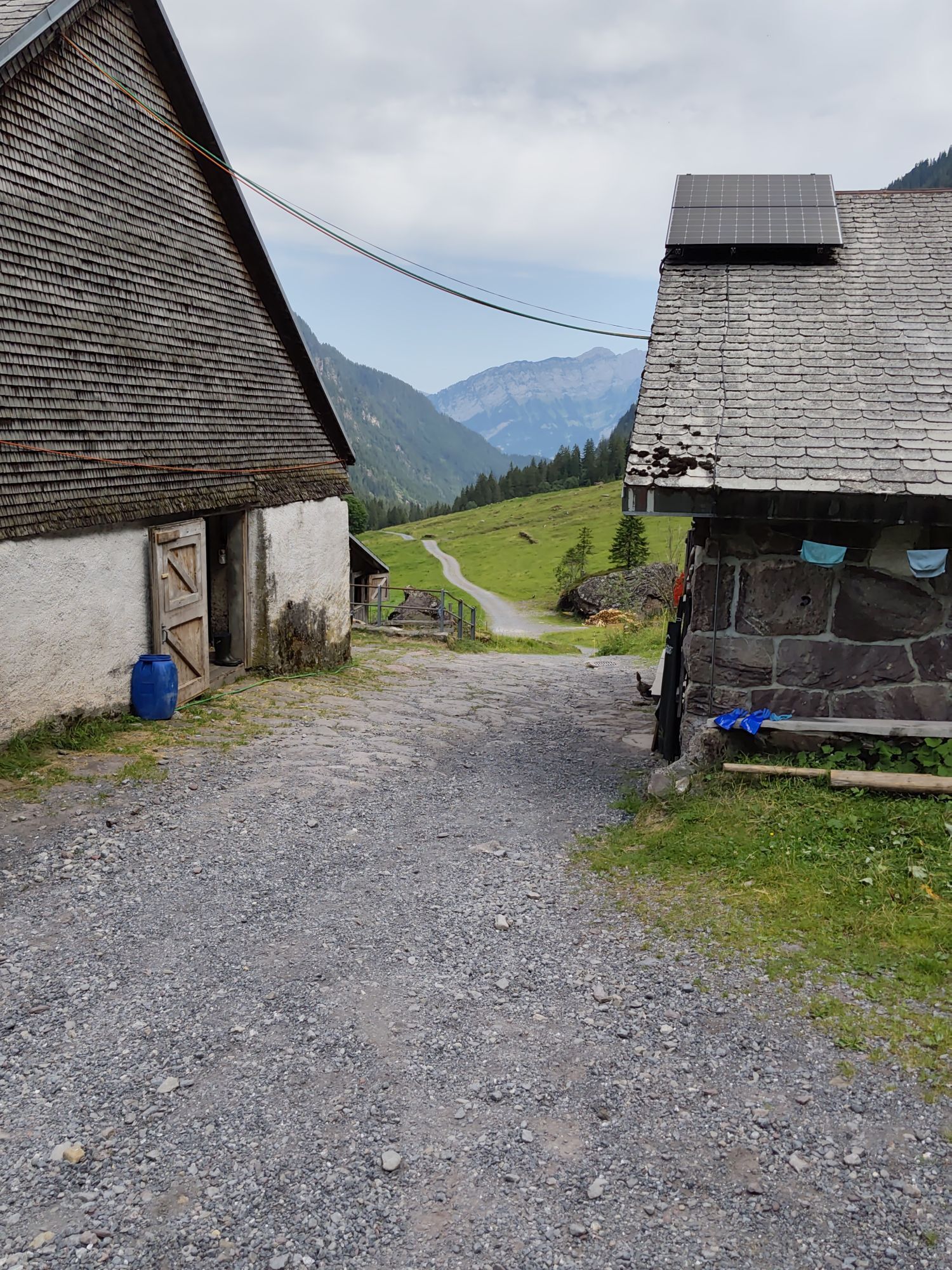
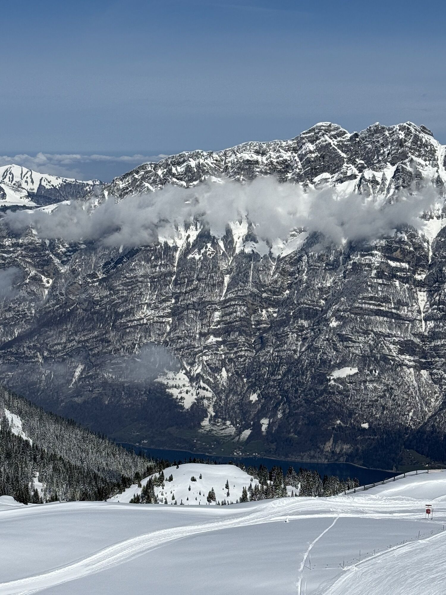
First, take the gondola to Maschgenkamm. At 2020 m above sea level, you are already greeted by a magnificent view and hike along the high panorama trail towards Zigerfurgglen. Continue past Sächserseeli...
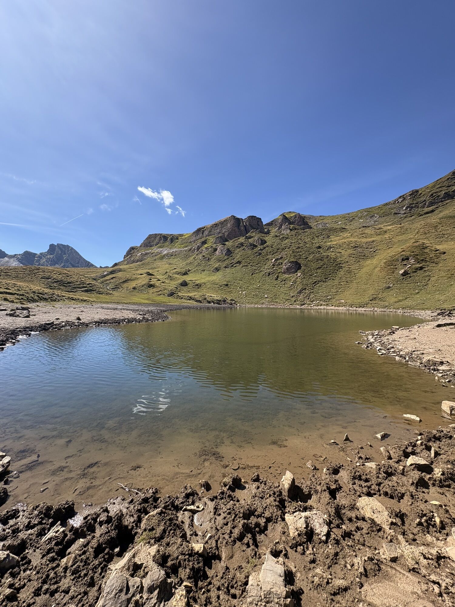
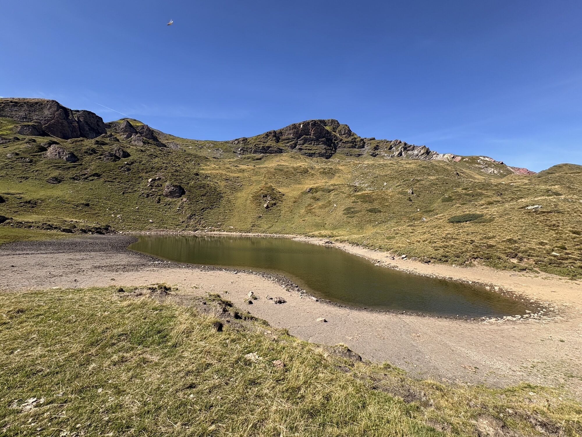
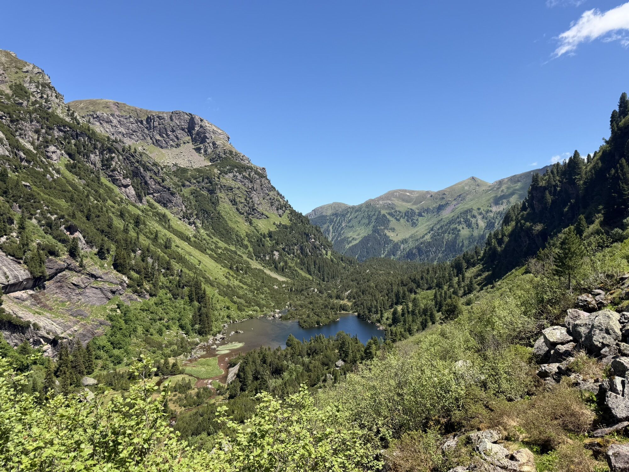
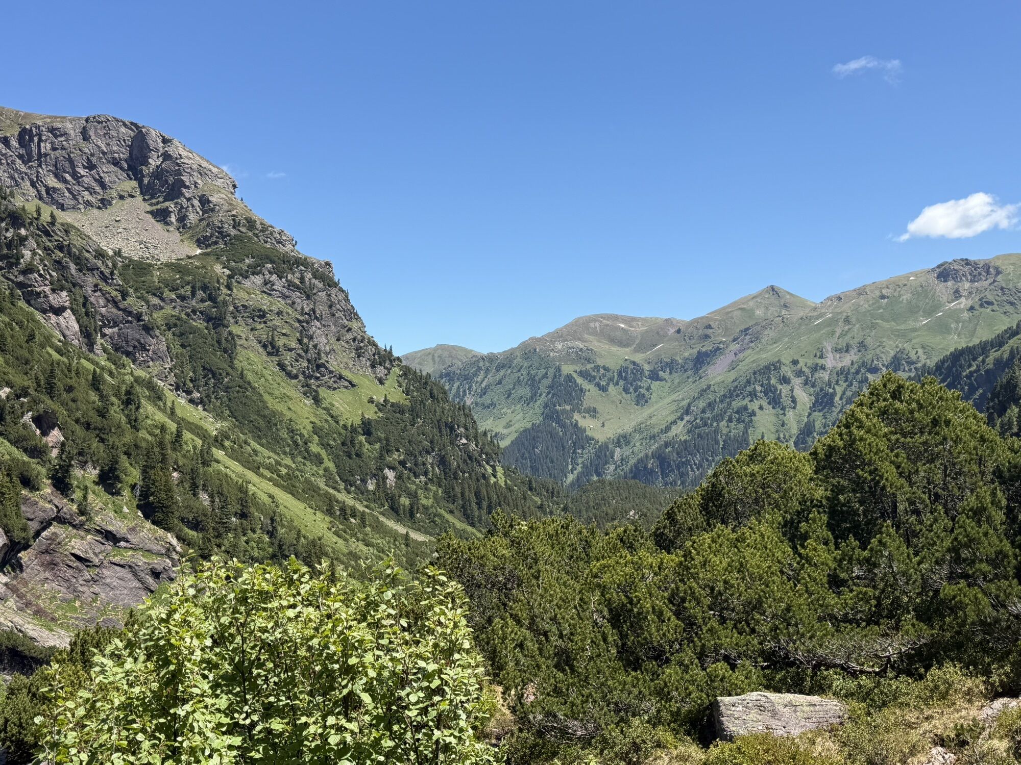
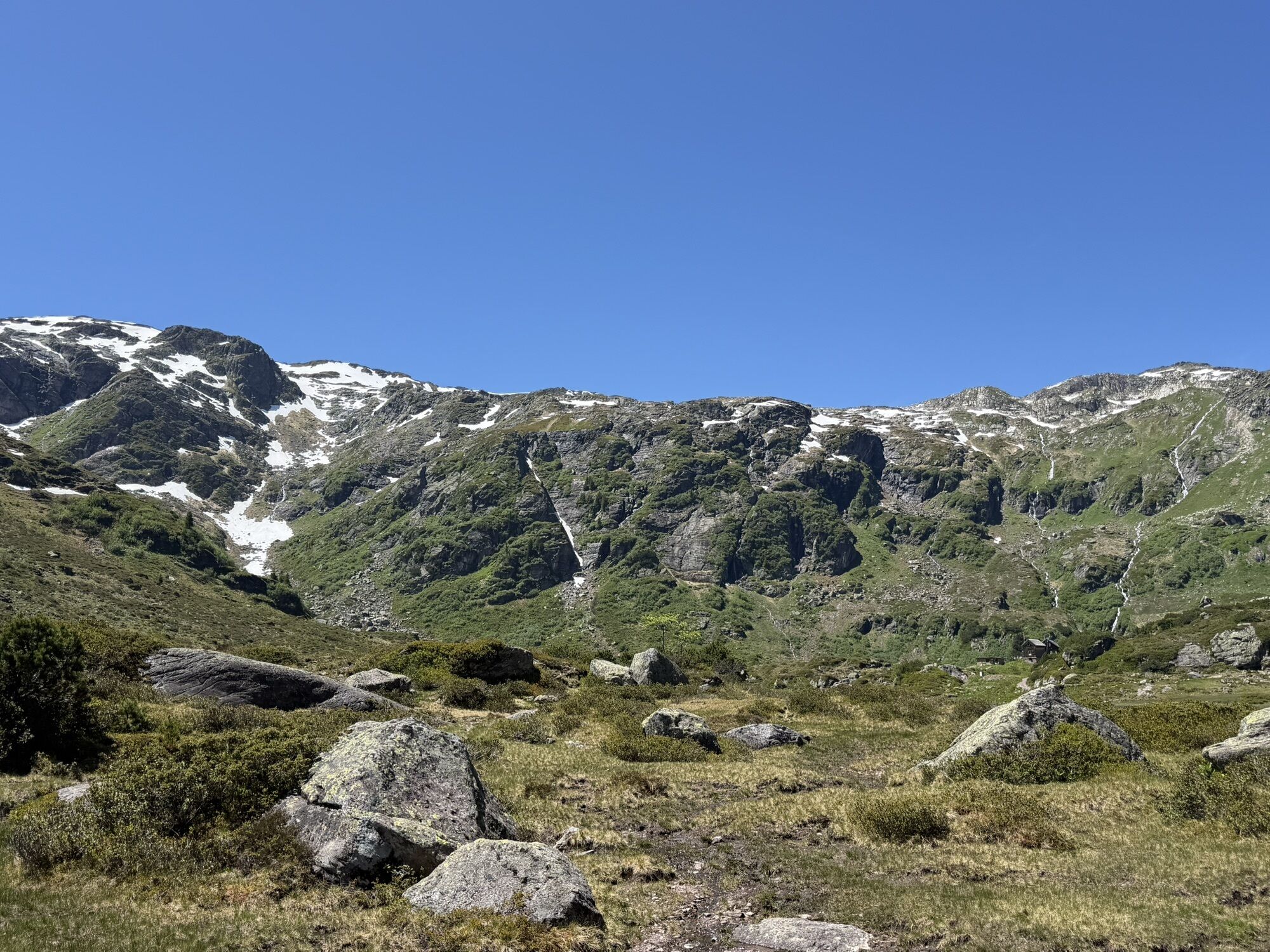
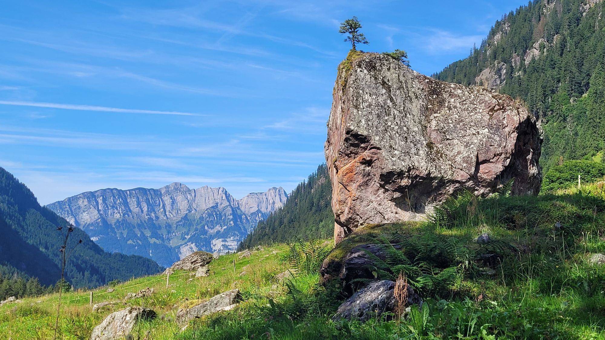
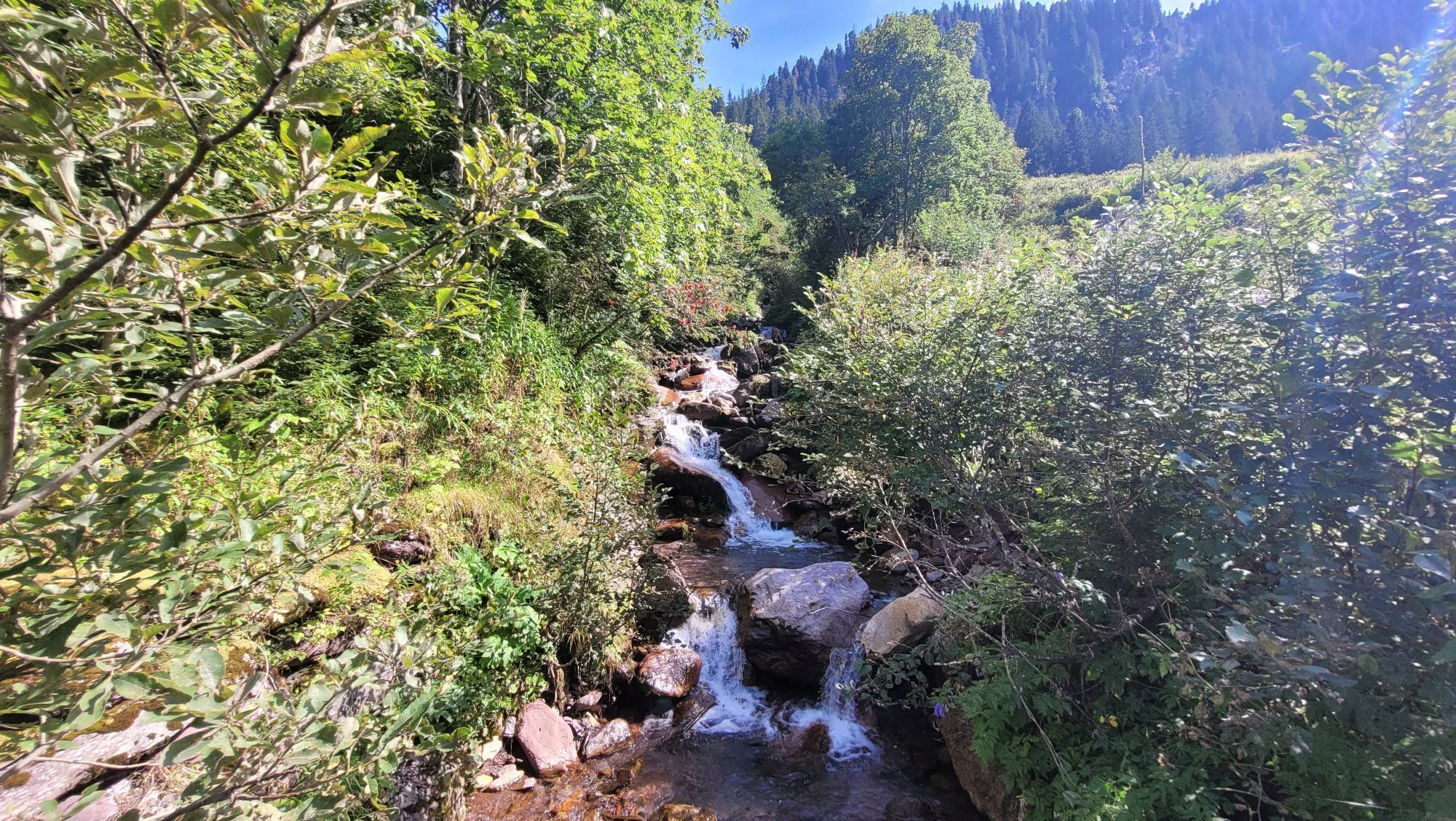
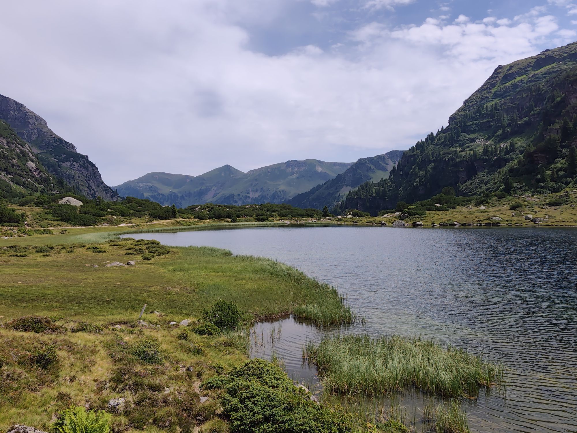
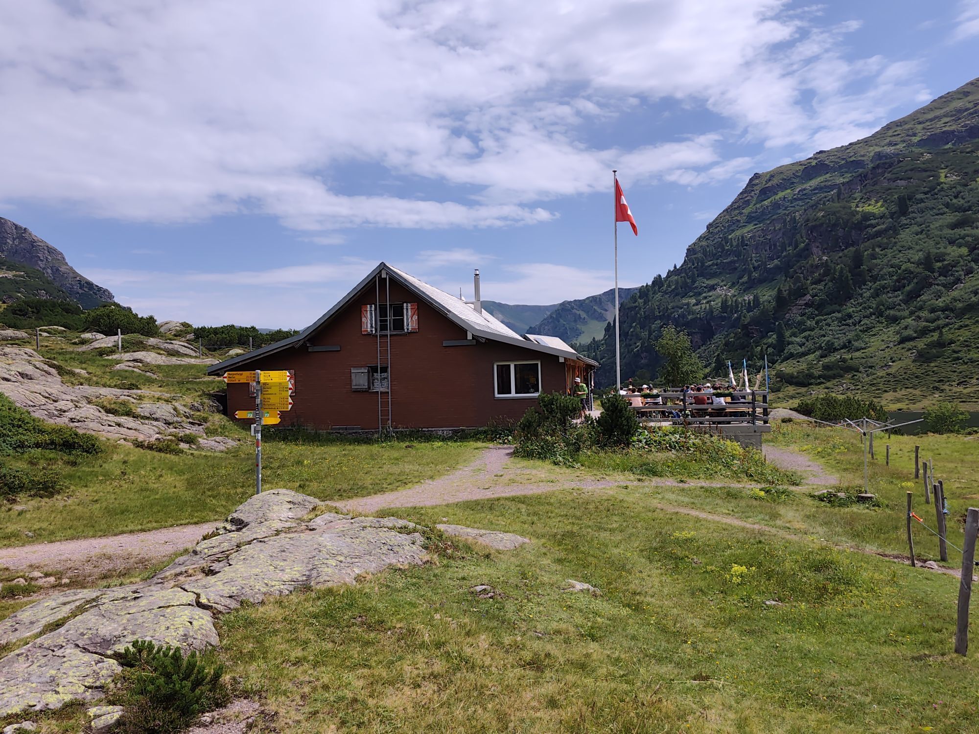
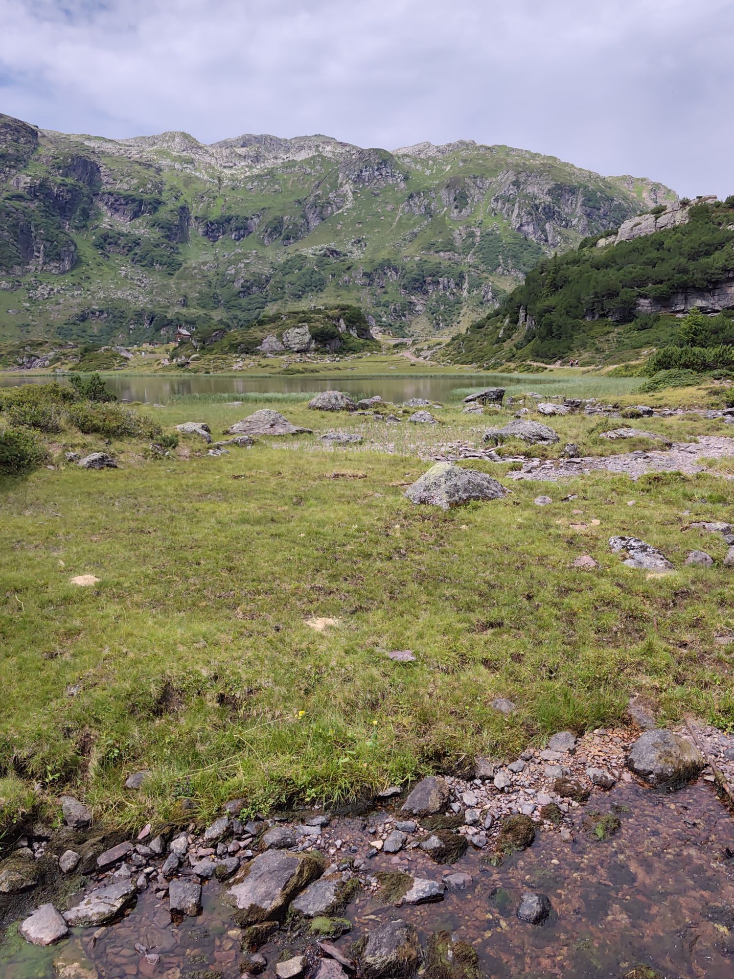
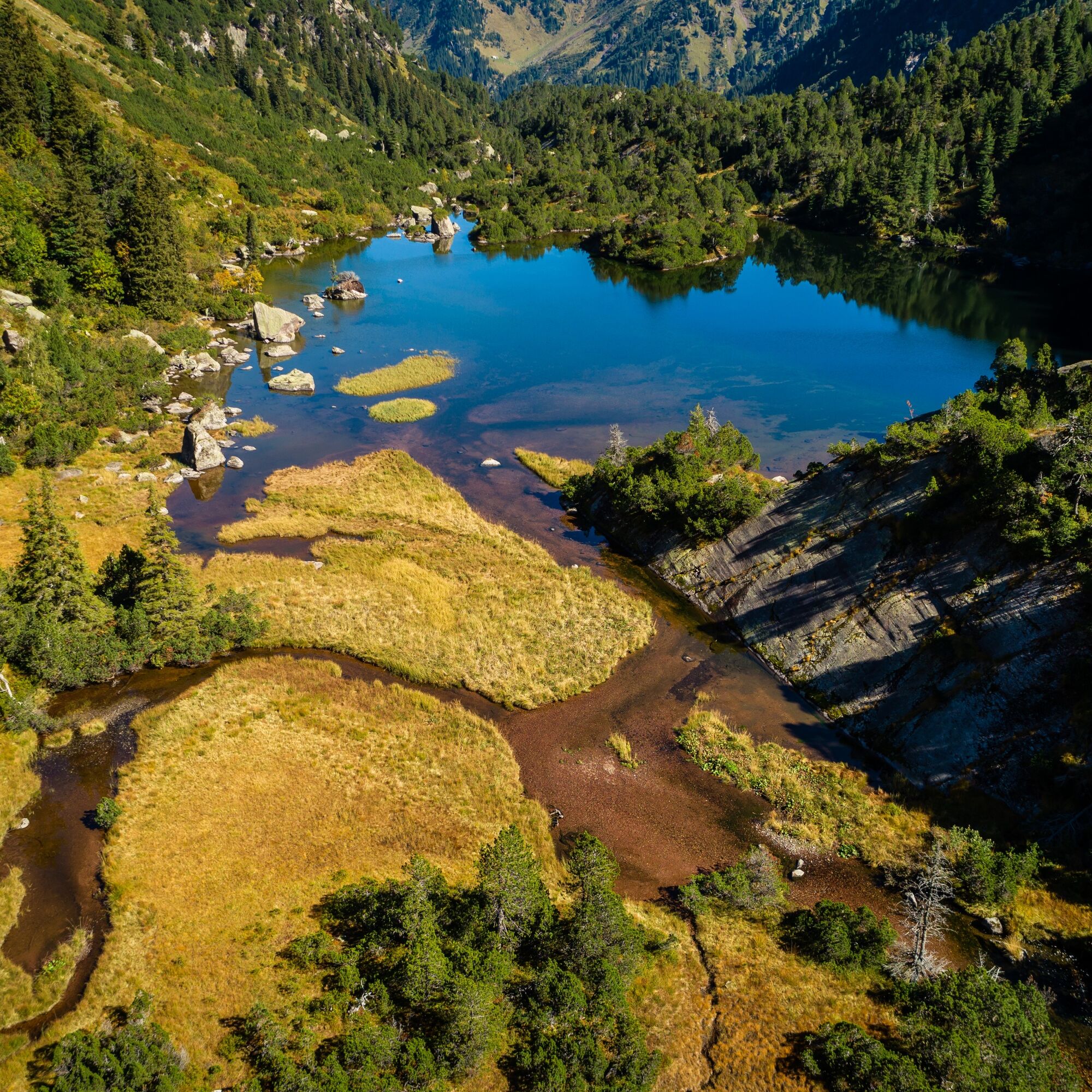
First, take the gondola to Maschgenkamm. At 2020 m above sea level, you are already greeted by a magnificent view and hike along the high panorama trail towards Zigerfurgglen. Continue past Sächserseeli towards Hoch Camatsch. From here, you have a wonderful distant view of the Glarus Alps. Continue along a high trail to Erdisglumen at 2293 m above sea level. Then follows a descent towards Abendweid, from where the path then leads gently but constantly uphill over Chamm, past several small lakes to Schattenchamm. Now follows the descent from 2235 m above sea level to the upper Murg lakes at 1820 m above sea level. Before tackling the descent to Mornen through the beautiful landscape, you deserve a rest in the cozy mountain inn Murgsee. From the mountain inn, it only goes downhill. The wild Murgtal valley has a lot to offer. The lower Murgsee is a true natural paradise and you hike through the most beautiful and largest stone pine stands in the canton of St. Gallen. Finally, the hike ends in Murg at Walensee. Those who wish can also return by Murgtal bus from Mornen or Merlen to Murg or Unterterzen. (Murgtal taxi to/from parking Merlen or Mornen only by prior arrangement at +41 79 735 30 00).

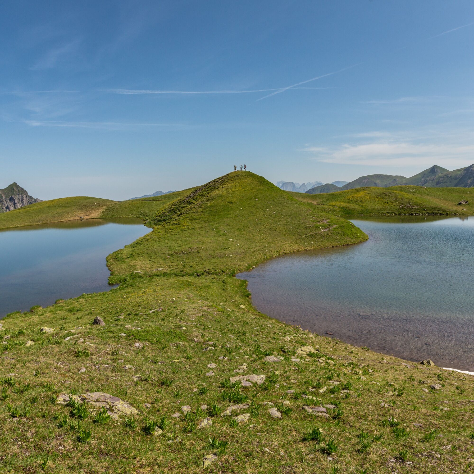
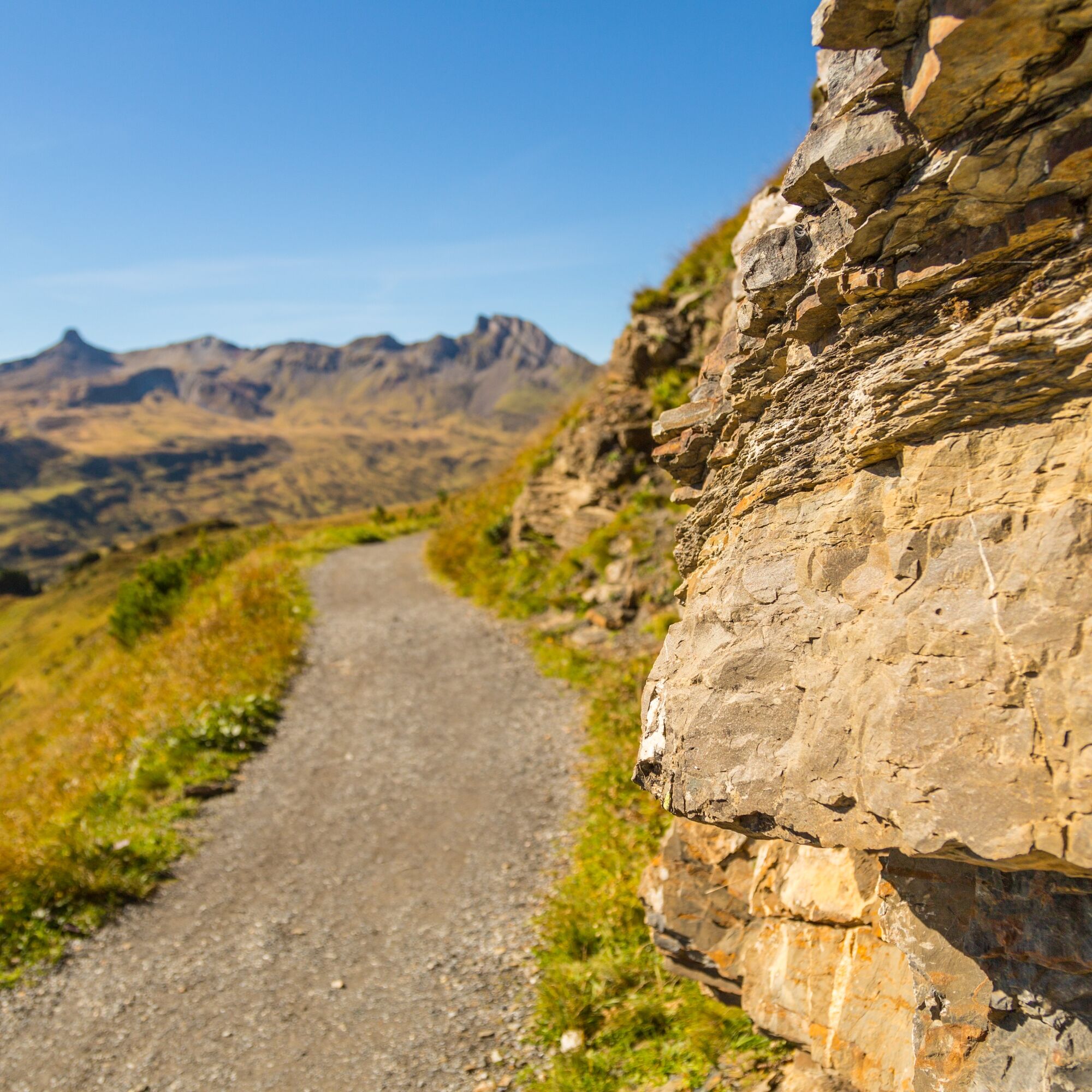
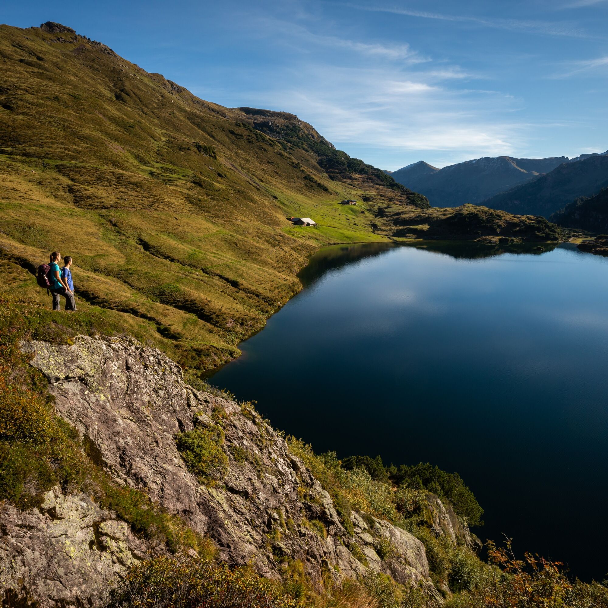
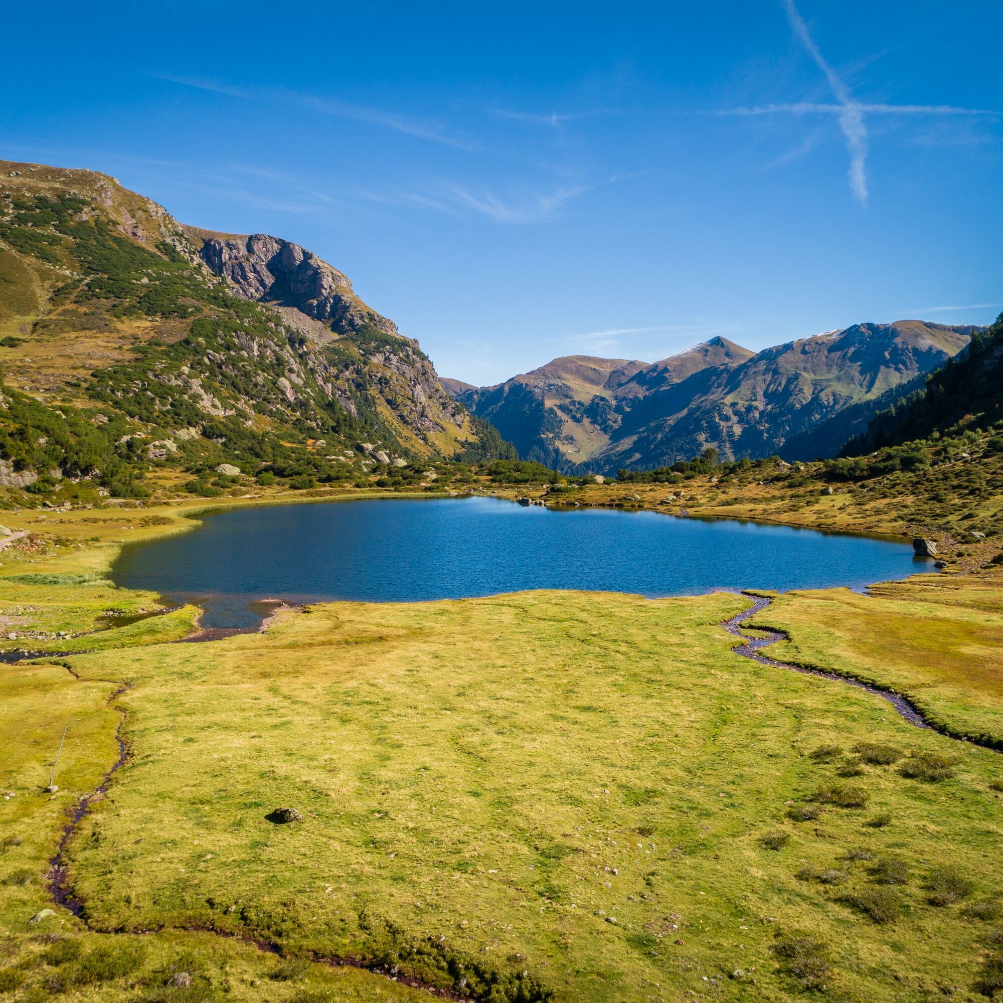

Maschgenkamm - Zigerfurgglen - Sächserseeli - Hoch Camatsch - Erdisgulmen - Heuloch - Chammseeli – to the «Steimänni» – Fischer hut/Murgseen - Mornen (return by Murgtal taxi or on foot to Murg)
Tak
The descent from Schattenchamm to the Murg lakes is a bit steep, but can be walked without problems in clear weather.
From Unterterzen (recommended): On the A3 motorway from Zurich or Chur to the Murg exit, then continue to Unterterzen at the valley station of the Unterterzen-Flumserberg cable car (LUFAG)
From Flumserberg: On the A3 motorway from Zurich or Chur to the Flums exit, then via mountain road to Flumserberg, Tannenboden
By train to Unterterzen, then with the Lufag (Unterterzen-Flumserberg cable car) to Tannenbodenalp, from there by gondola to the starting point on Maschgenkamm.
Unterterzen: CHF 6.- per day, overnight parking for CHF 10.- per night in the parking lots near LUFAG
Flumserberg: day and overnight parking free of charge
Mountain inn Murgsee
T +41 (0)81 511 03 63
www.murgsee.ch
Heidiland Tourismus AG, Flumserberg info point
T +41 81 720 18 18
www.heidiland.com
Please reserve the Murgsee bus in advance, as there is no mobile phone reception in the Murgtal. On foot, Murg can be reached from Merlen in just under 2 hours. With an overnight stay at the Murgsee hut and a return hike on day 2 via the Mürtschental valley to Mornen.

Kamery internetowe z trasy
-
Prodalp
-
Maschgenkamm - Flumserberg
-
Quarten / Walensee
-
Maschgenkamm - Flumserberg
-
Maschgenkamm - Flumserberg
-
Maschgenkamm - Flumserberg
-
Maschgenkamm - Flumserberg
-
Maschgenkamm - Flumserberg
-
Maschgenkamm - Flumserberg
-
Prodalp
-
Prodalp
-
Prodalp
-
Prodalp
-
Prodalp
-
Leist
-
Prodkamm
-
Stelligrat
-
Glarus - Aeugstenbahn - Äugsten



Popularne wycieczki w okolicy
-
4,8
Walensee Riviera Weesen - Quinten
średniWędrówka 10,2 km -
4,7
Riviera Lake Walen Walenstadt-Quinten
średniWędrówka 10,4 km -
4,6
Weesen - Quinten - Walenstadt
ciężkiWędrówka 20,6 km -
4,5
7-Peak Tour Flumserberg
ciężkiWędrówka 15,0 km -
4,9
Fronalpstock GL
średniWędrówka 7,84 km -
4,6
4-Summit-Route Flumserberg
średniWędrówka 8,65 km -
4,9
Quarten - Murgseehütte - Berggasthaus Murgsee - Glarus Nord
średniWędrówka 14,7 km -
4,8
Arvenbüel - Egg - Alp Looch - Leistchamm
średniWędrówka 11,4 km -
4,6
Maschgenkamm - Spitzmeilen hut - Tannenbodenalp
ciężkiWędrówka 18,1 km -
4,7
Quinten-Trail 453
średniBieganie 8,97 km
Wędrówki i tropienie


Nie przegap ofert i inspiracji na następne wakacje
Twój adres e-mail została dodana do listy mailingowej.





