





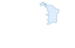

Hike from Bernhalden over the Risipass to Nesslau

Poziom trudności: T2
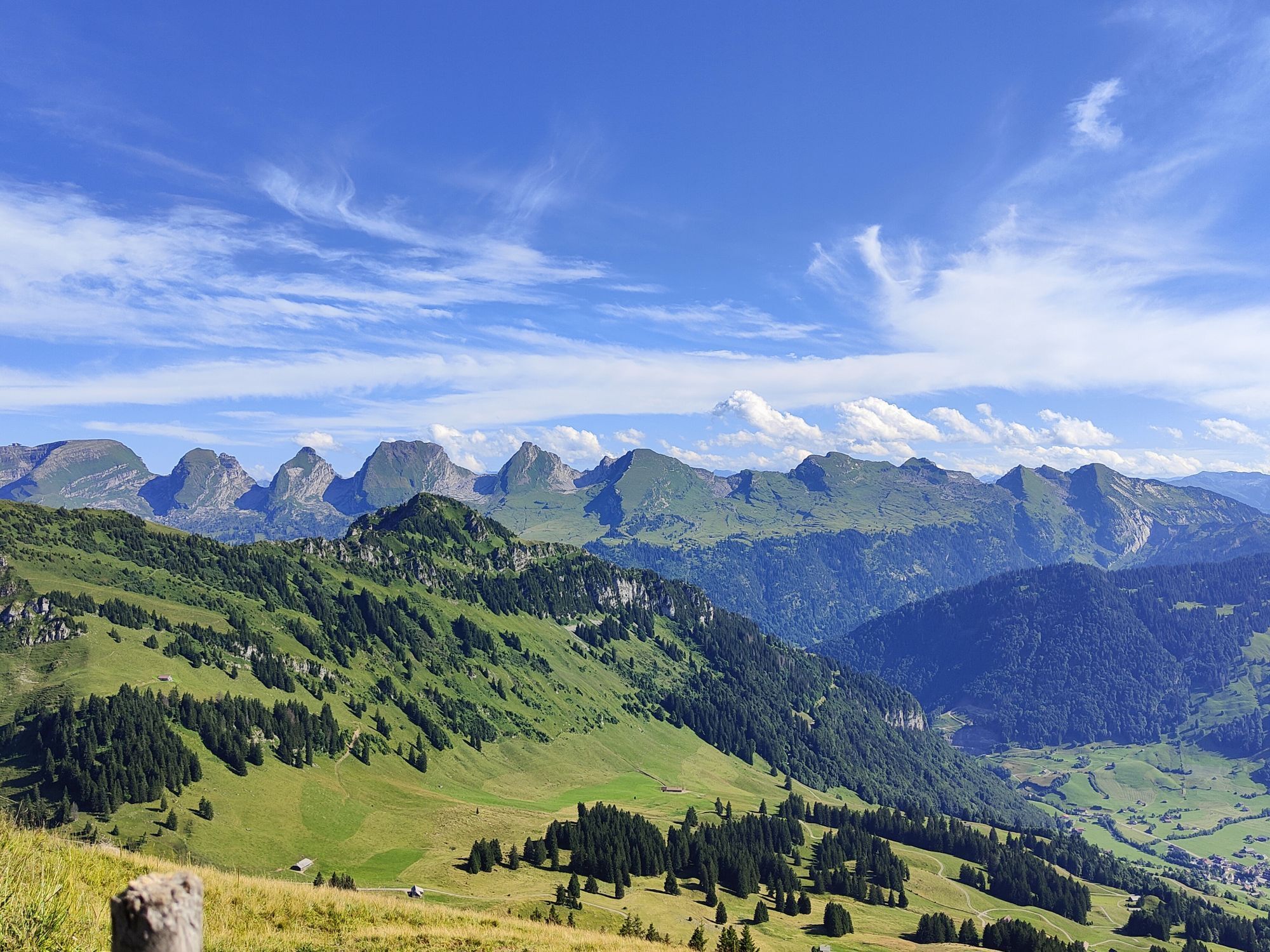
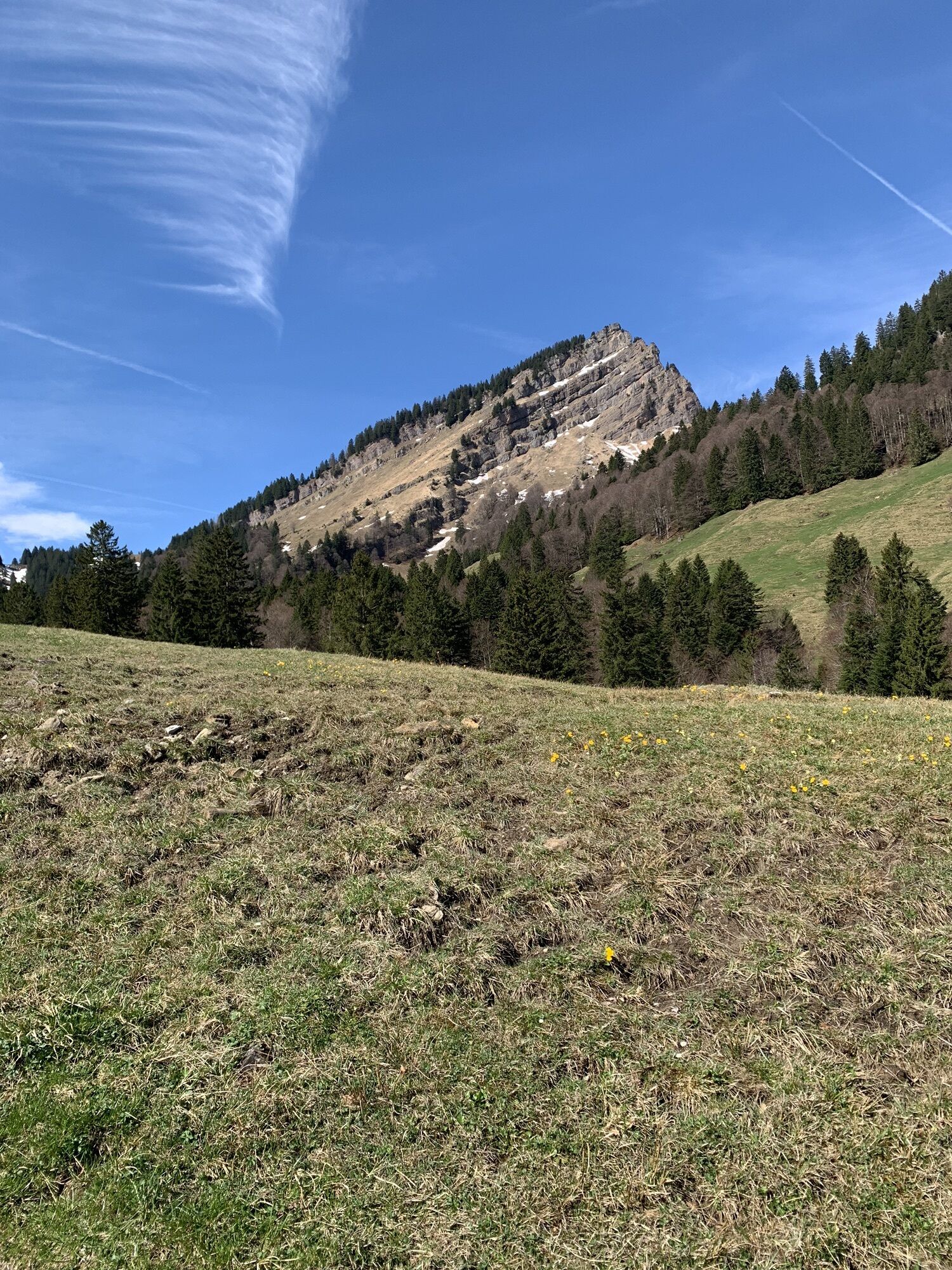
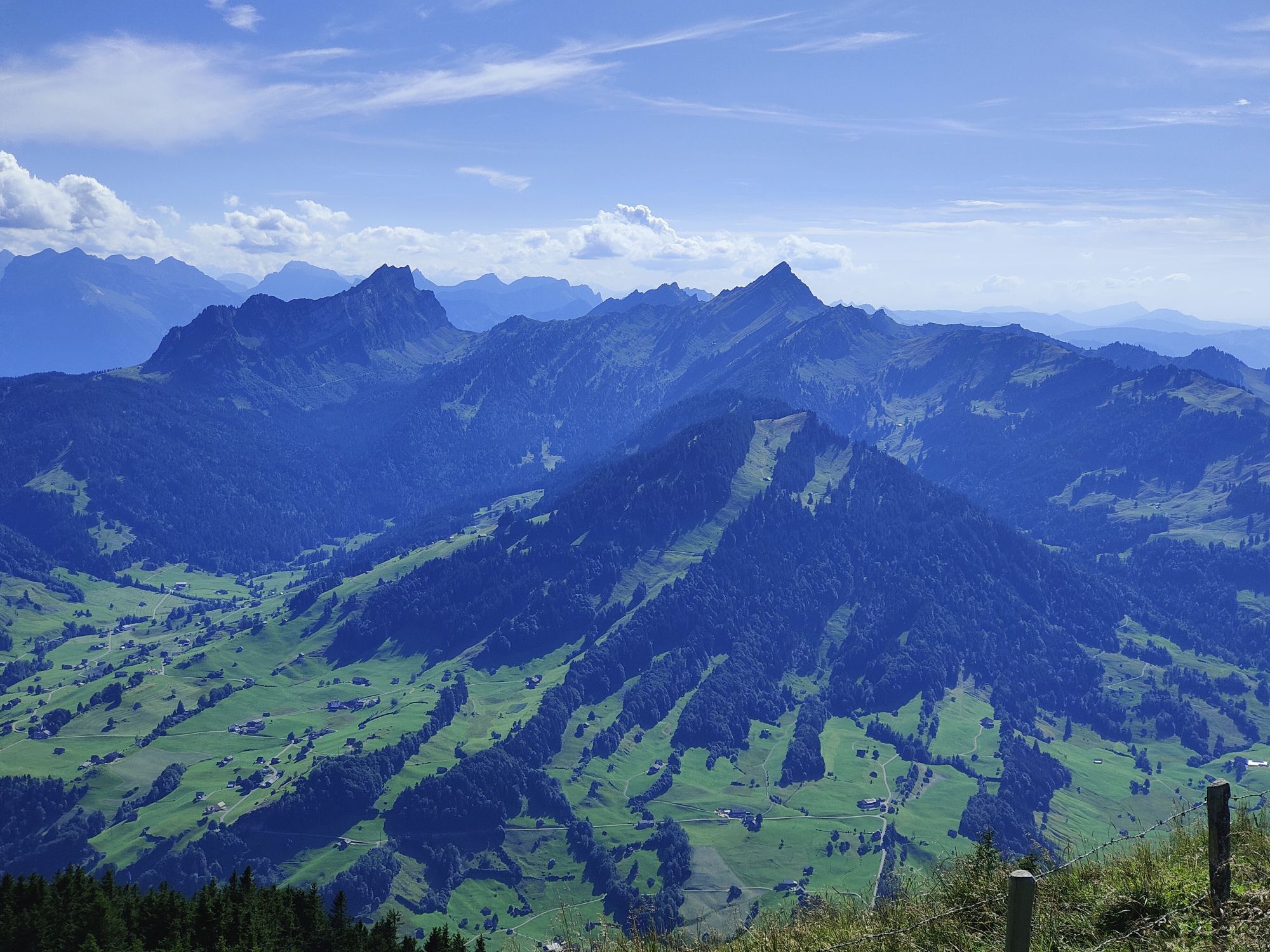
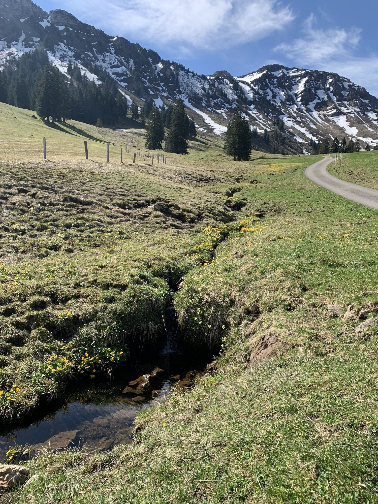
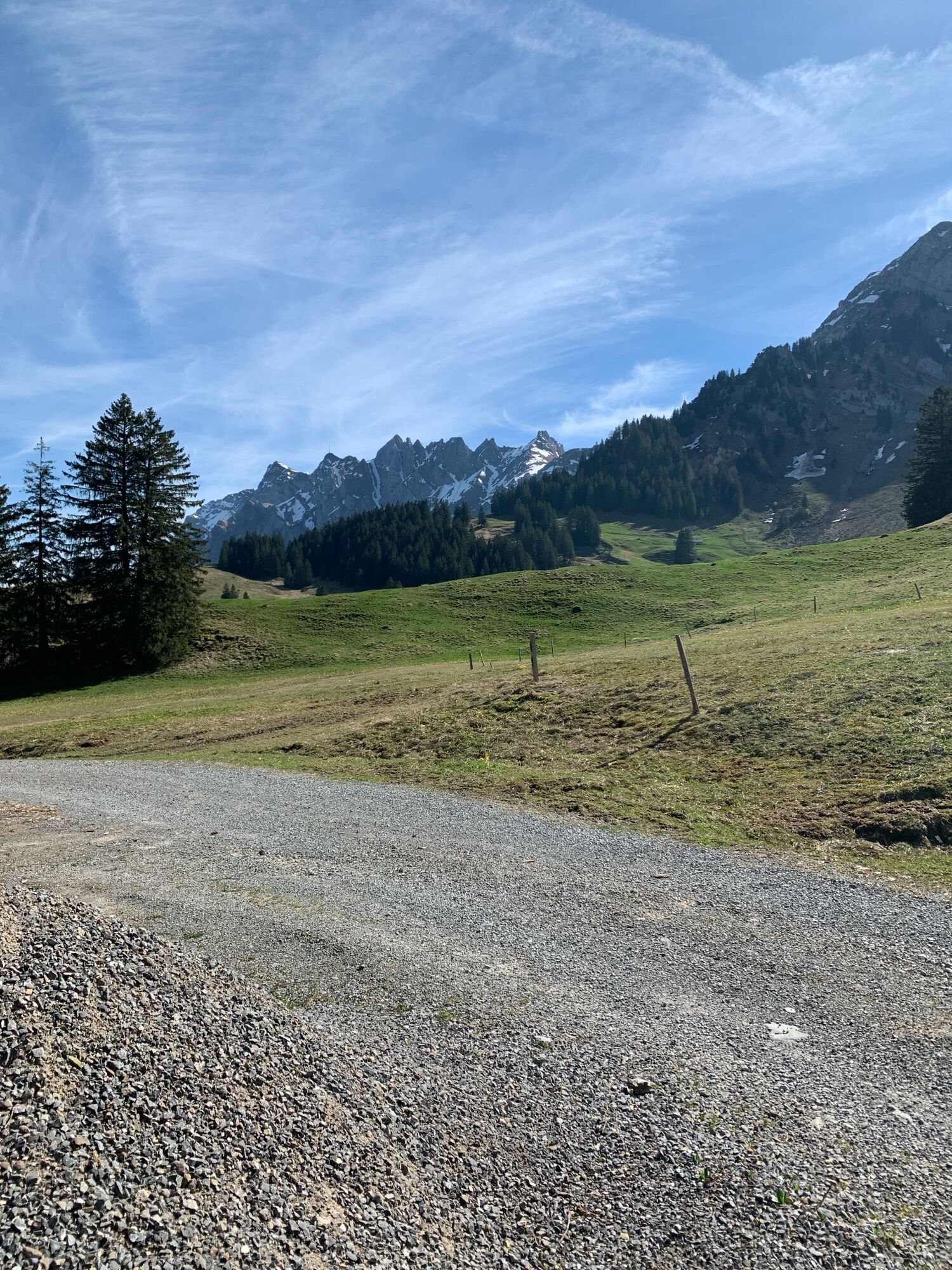
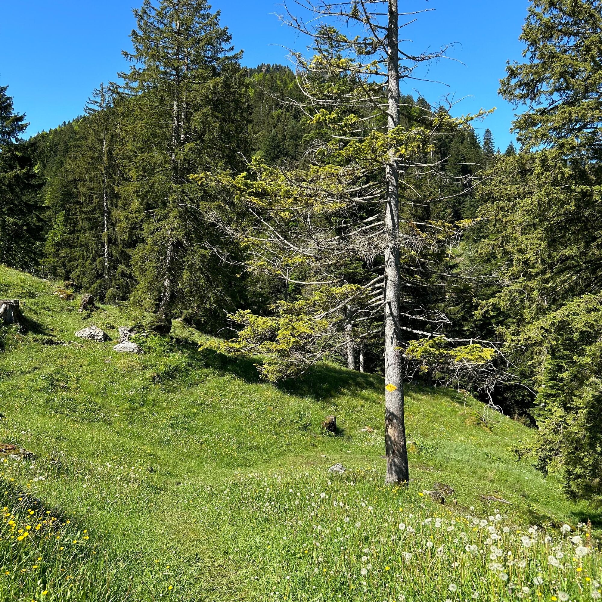
From Bernhalden we climb over alpine pastures to the Risipass. Further up, we proceed to Alp Stockberg and along the hillside to Stockneregg. We still have quite a bit of work left: we must overcome 3...
From Bernhalden we climb over alpine pastures to the Risipass. Further up, we proceed to Alp Stockberg and along the hillside to Stockneregg. We still have quite a bit of work left: we must overcome 300 meters of altitude to reach the summit of Stockberg.
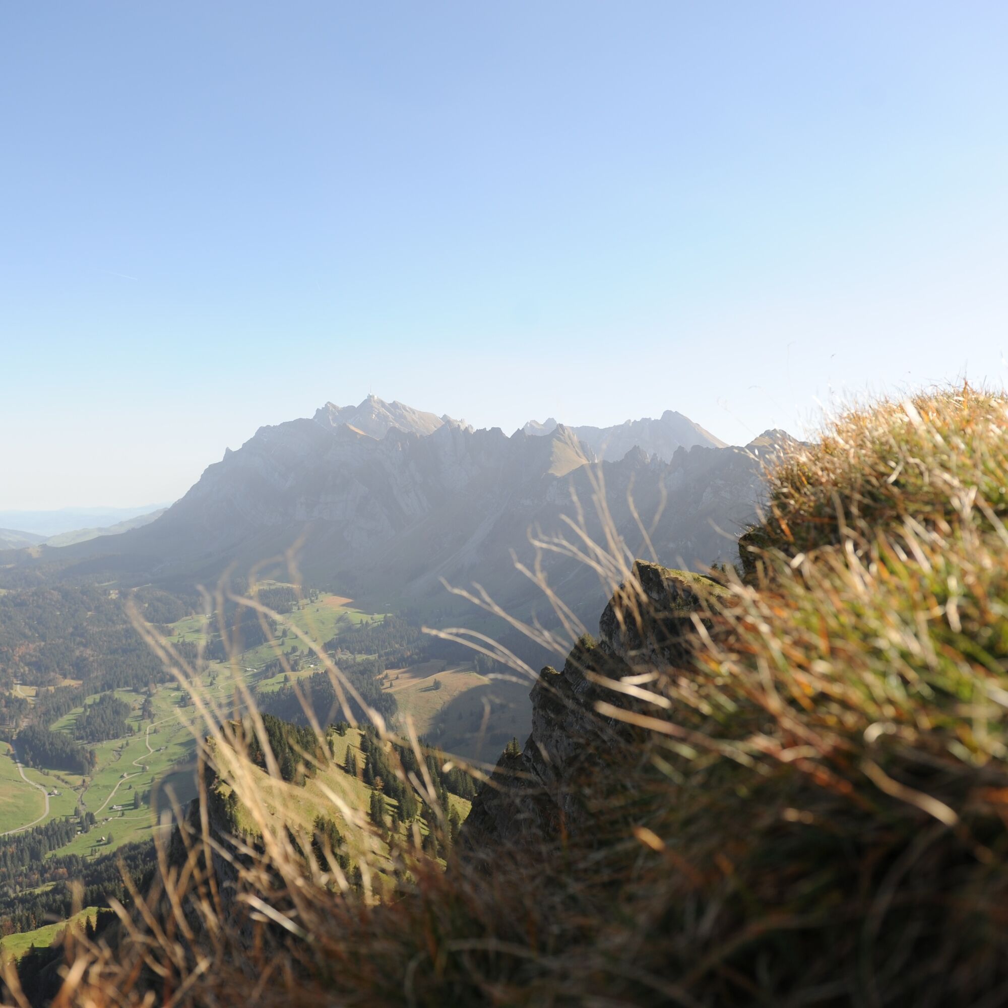
The hiking trail steadily ascends along a ridge until we reach our goal. Before us, the rock face drops steeply down to Ennetbühl. On the return journey, the same steep section can be easily managed in the opposite direction. At Alp Stockneregg, we head west over Beerenwiti and Amsler to Hagisegg. The path then leads down to Lutenwilerstrasse, which takes us past the bathing pond into the village of Nesslau.


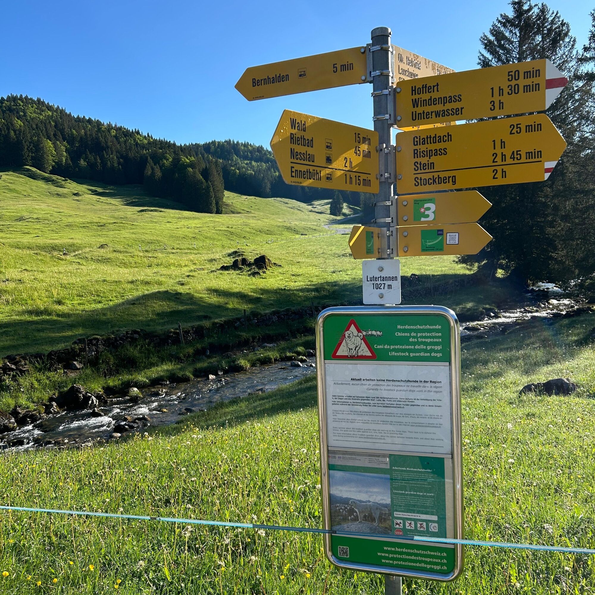



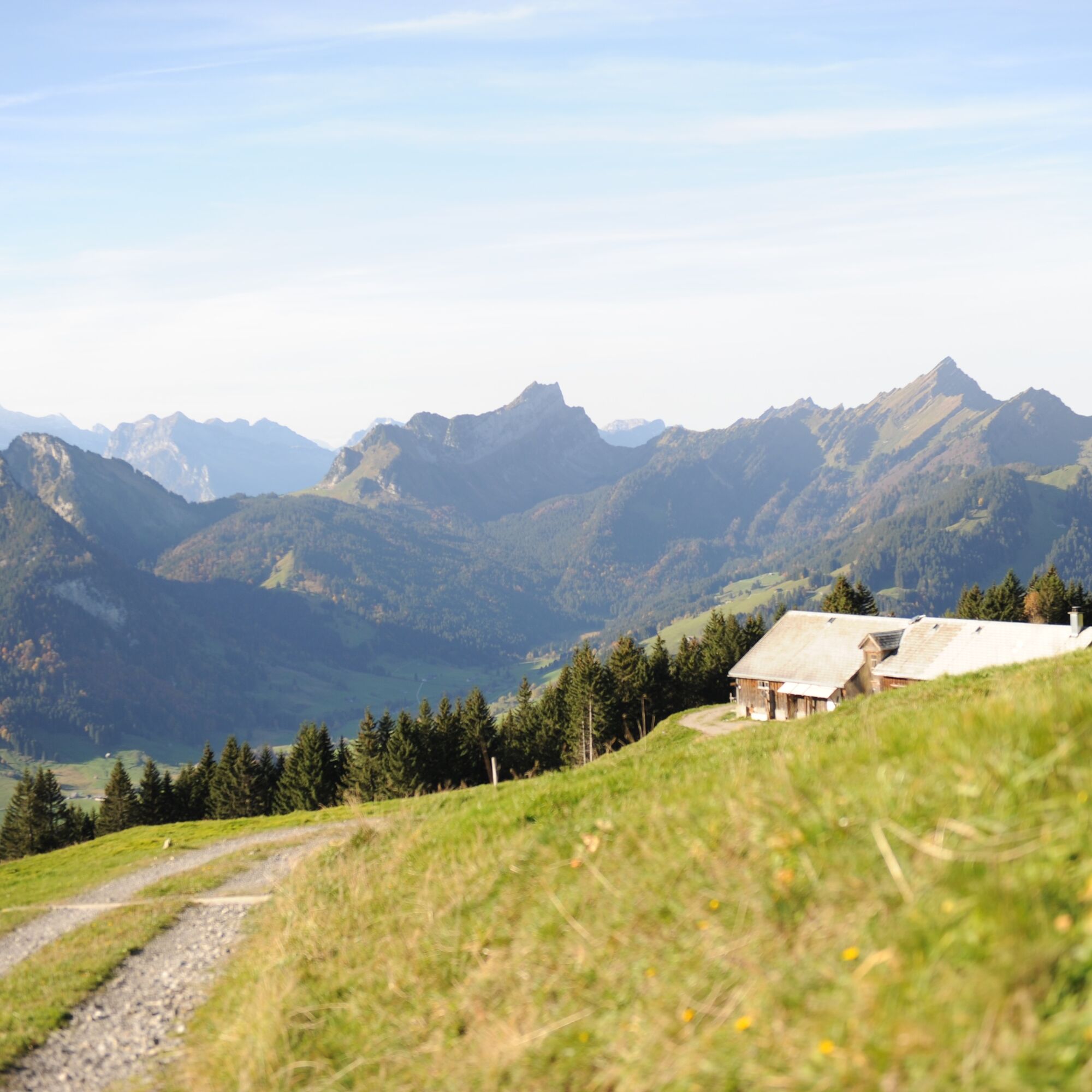
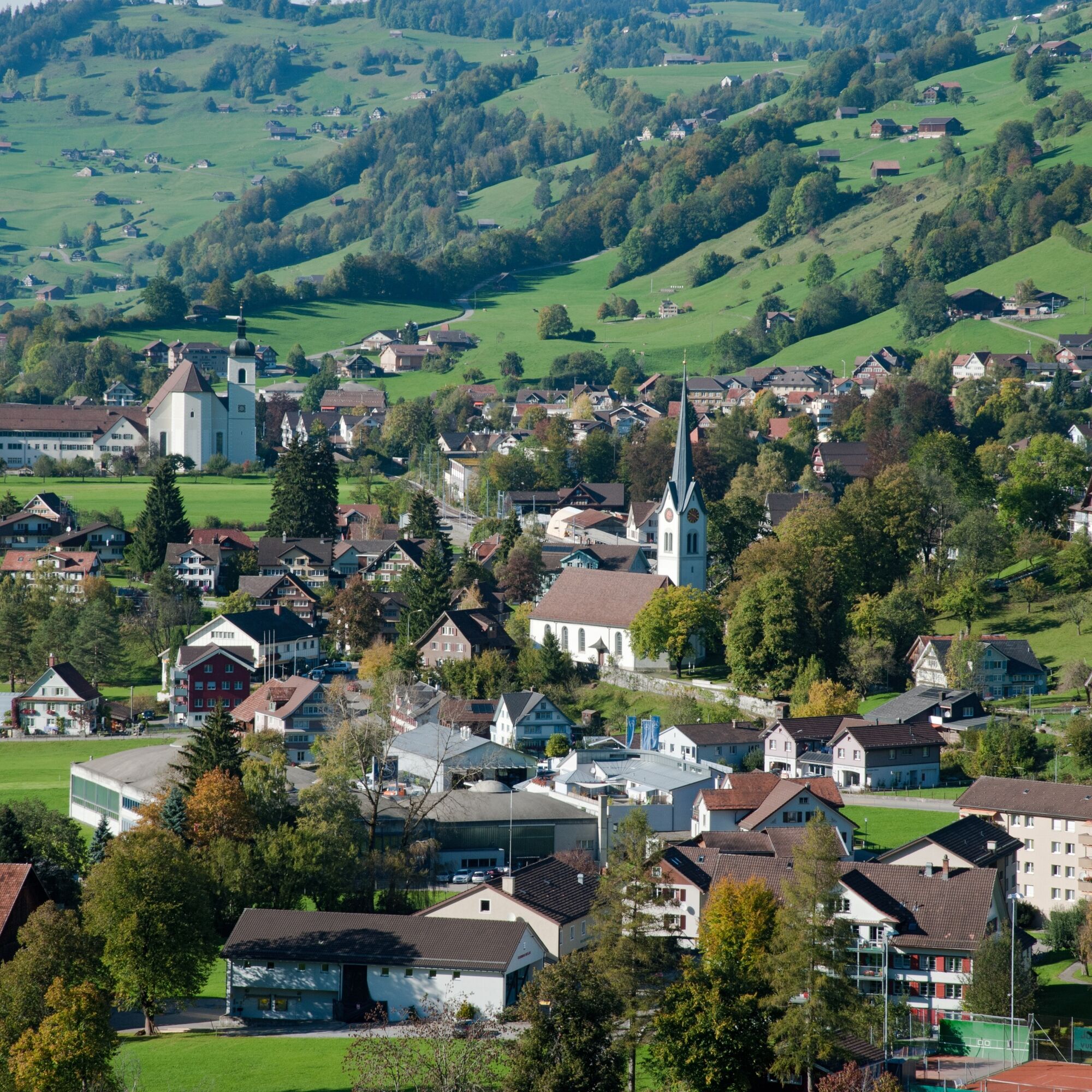
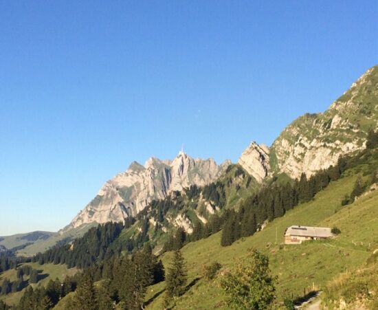

Bernhalden (1030 m) - Glattdach (1200 m) - Risipass (1459 m) - Alp Stockberg (1522 m) - Stockneregg (1480 m) - Stockberg (1781 m) - Stockneregg (1480 m) - Beerenwiti (1375 m) - Amsler (1190 m) - Hagisegg (932 m) - Nesslau (759 m)
Day hiking backpack (approx. 20 liters) with rain cover, sturdy and comfortable footwear, weather-appropriate and durable clothing in layers, telescopic poles if needed, sun and rain protection, provisions and drinking water, first aid kit, pocket knife, mobile phone, headlamp if needed, map material
The route is continuously signposted.
From the Zurich metropolitan area and Central Switzerland:
On the A3 at Reichenburg towards Rapperswil and then over the Ricken Pass to Wattwil. Afterwards, up through Toggenburg to Nesslau.
From Eastern Switzerland:
From St. Gallen to Herisau and further over Wasserfluh to Lichtensteig. Or drive from St. Gallen to Wil, take the Toggenburg exit. Follow the main road to Nesslau.
From southern Germany:
Via Bregenz and St. Margrethen on the A13 to Haag and take the exit towards Toggenburg/Wildhaus. Or via Konstanz to Wil, then take the Toggenburg exit and follow the main road to Nesslau.
By train or bus to Nesslau-Neu St. Johann. From there by post bus towards Schwägalp to the Bernhalden stop.
The current timetable can be found at www.sbb.ch.
There are free parking spaces at the car park by Nesslau train station.
T2
Toggenburg Tourism
Hauptstrasse 104
CH-9658 Wildhaus
Tel: +41 (0)71 999 99 11
Email: info@toggenburg.swiss
Website: www.toggenburg.swiss
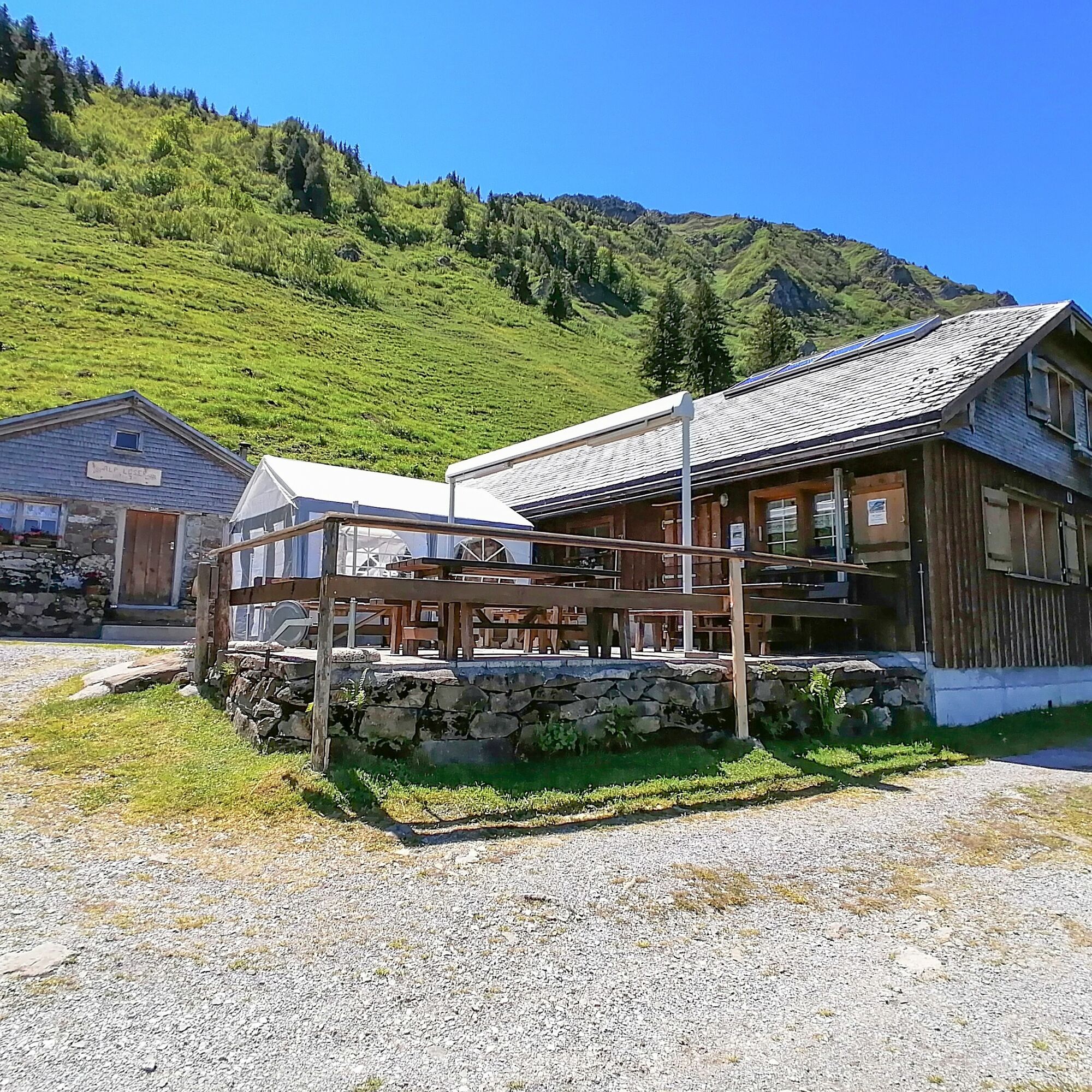
A detour to Alp Leser for a stopover is worthwhile not only because of the hospitality or the magnificent view but also because of the world’s best Älplermagronen. Alp Leser is open during the summer holidays or partially also on weekends.

Kamery internetowe z trasy

Popularne wycieczki w okolicy
-
4,8
Walensee Riviera Weesen - Quinten
średniWędrówka 10,2 km -
4,7
Riviera Lake Walen Walenstadt-Quinten
średniWędrówka 10,4 km -
4,6
Weesen - Quinten - Walenstadt
ciężkiWędrówka 20,6 km -
5,0
Staubern-Runde (15.8.2021)
średniWędrówka 8,65 km -
4,9
Säntis-Gipfeltour, Wasserauen / Appenzell Innerrhoden
ciężkiWędrówka 21,1 km -
4,8
Tour Brülisau - Saxerlücke - Hoherkasten⛰
ciężkiWędrówka 16,6 km -
4,6
Wasserauen - Seealpsee - Wasserauen
średniWędrówka 7,71 km -
4,6
Säntis
średniWycieczki górskie 17,5 km -
4,9
Alpine and Cultural Trail Schrina
średniTrasa tematyczna 11,5 km -
4,7
Schwende, Appenzell Innerrhoden
średniWędrówka 11,8 km

Wędrówki i tropienie


Nie przegap ofert i inspiracji na następne wakacje
Twój adres e-mail została dodana do listy mailingowej.





