





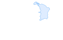

Churfirsten Trail Run "Churfirsten Marathon"

Poziom trudności: T3
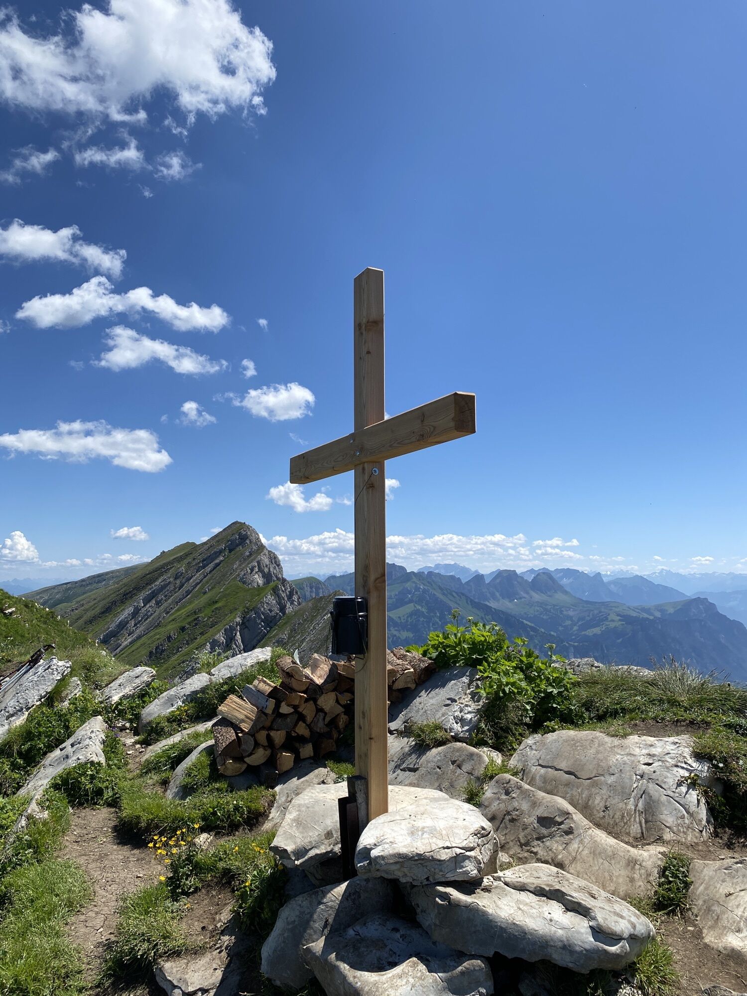
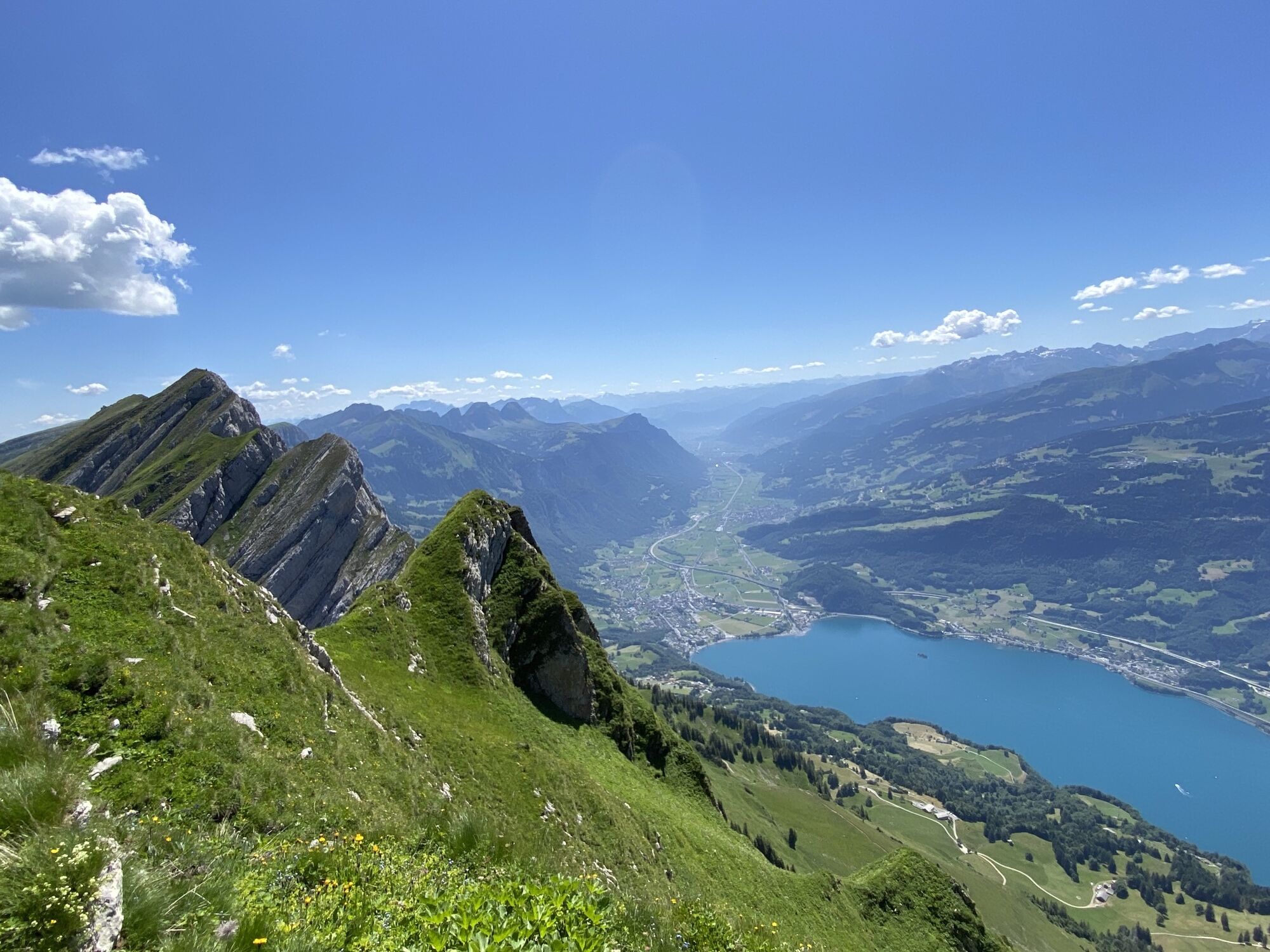
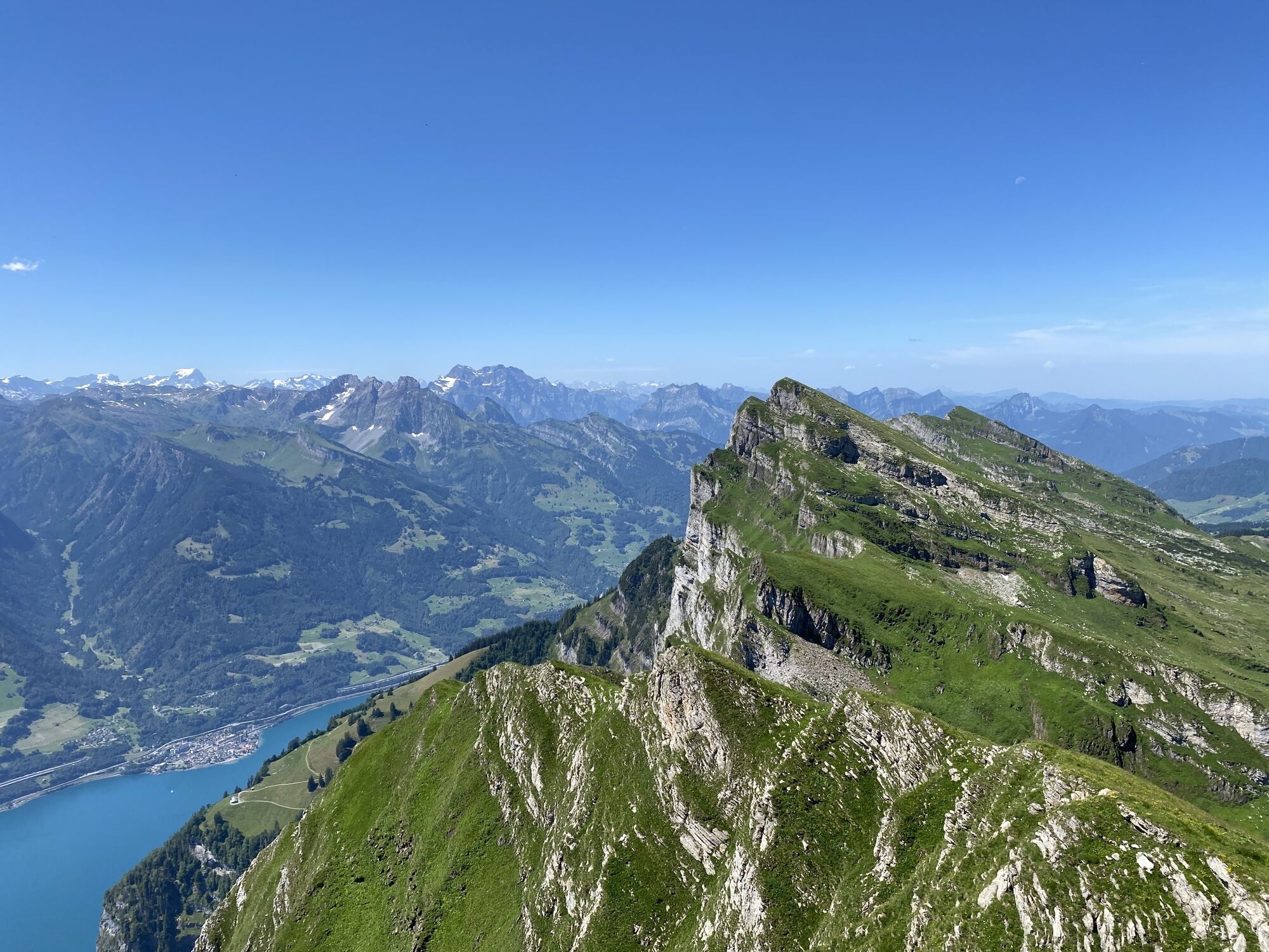
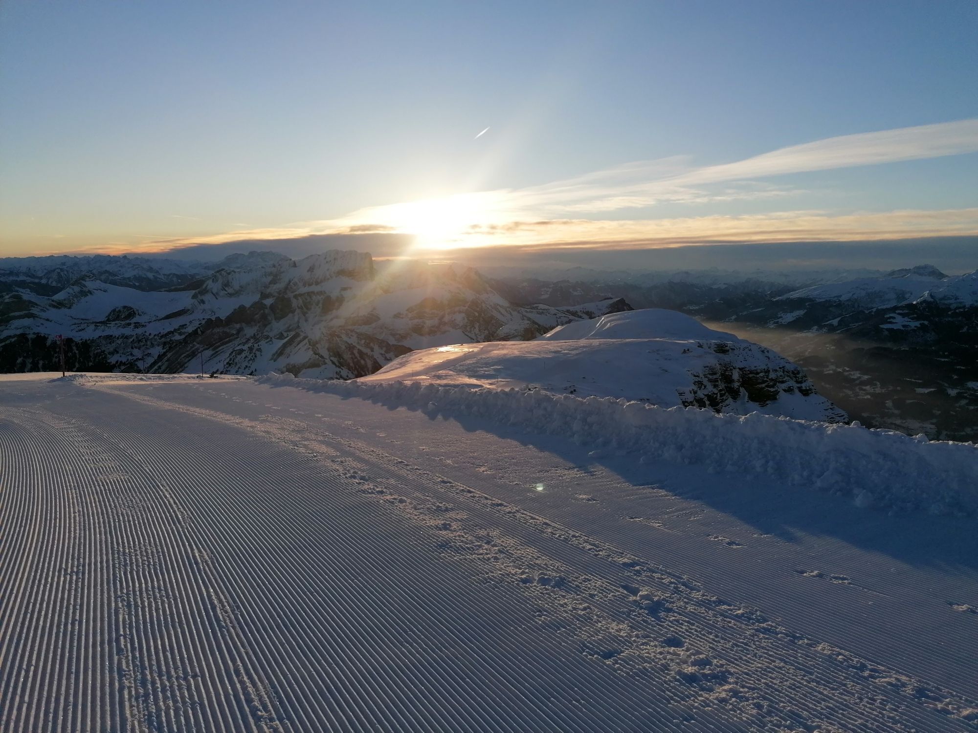
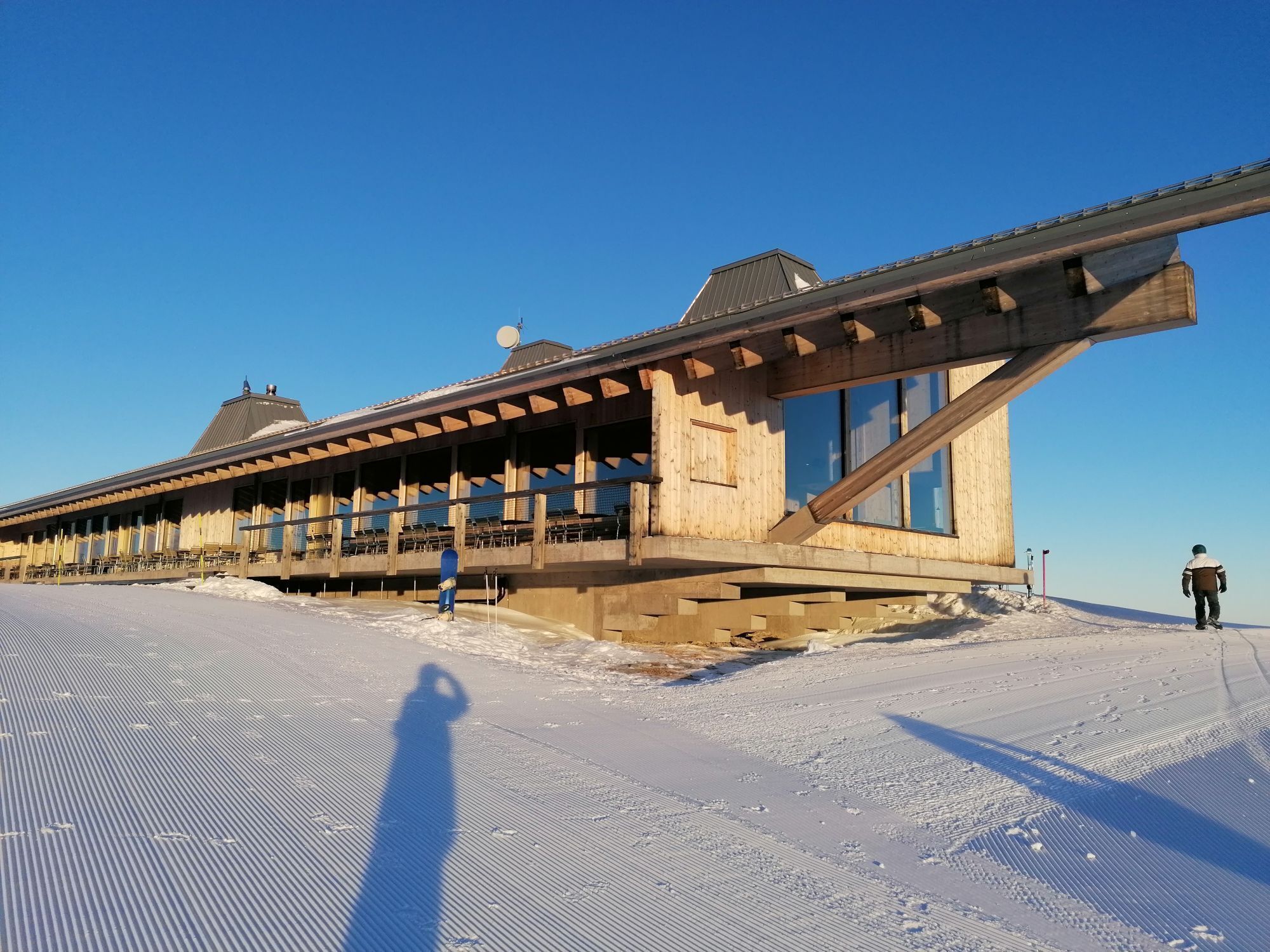
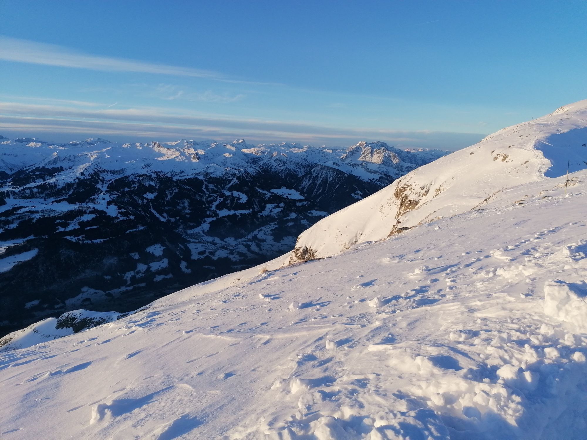
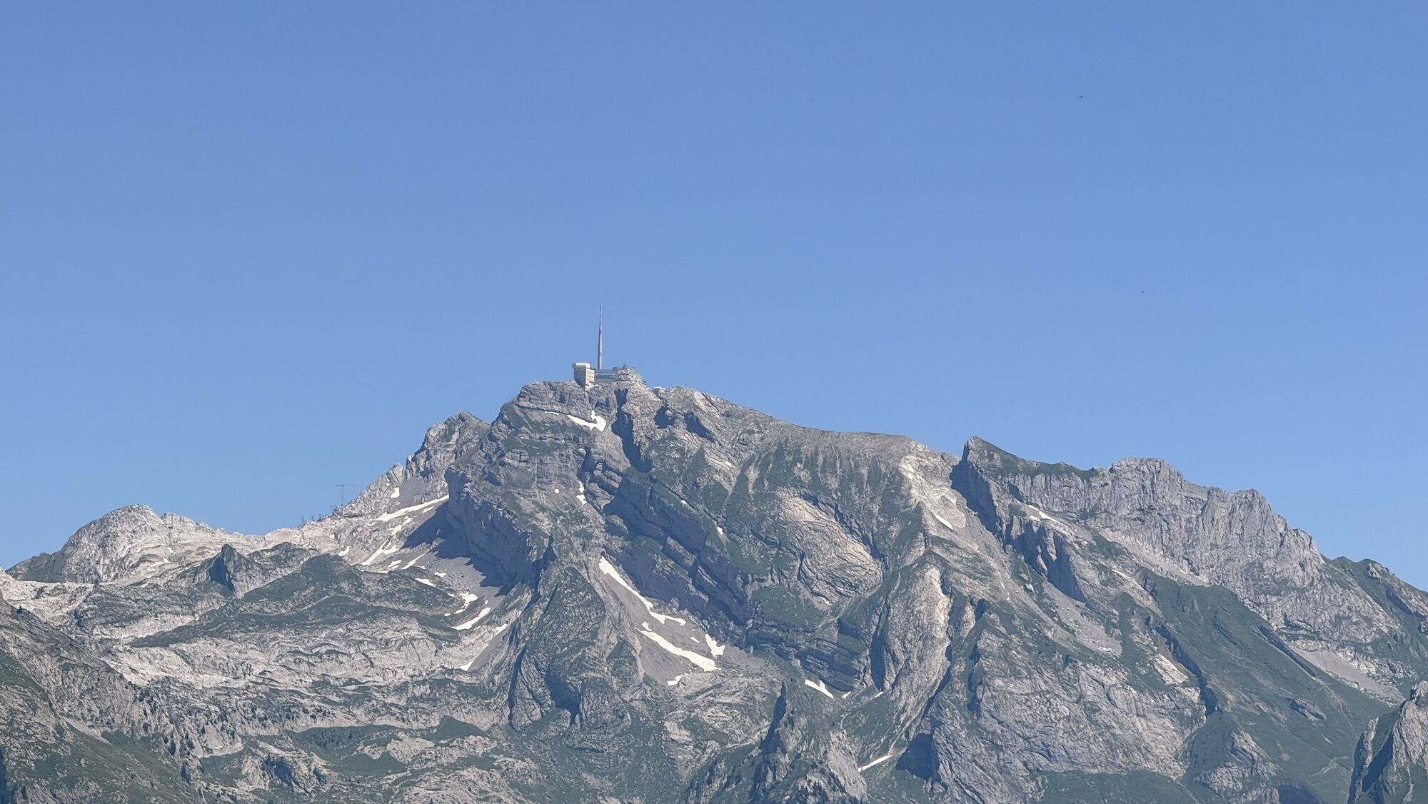
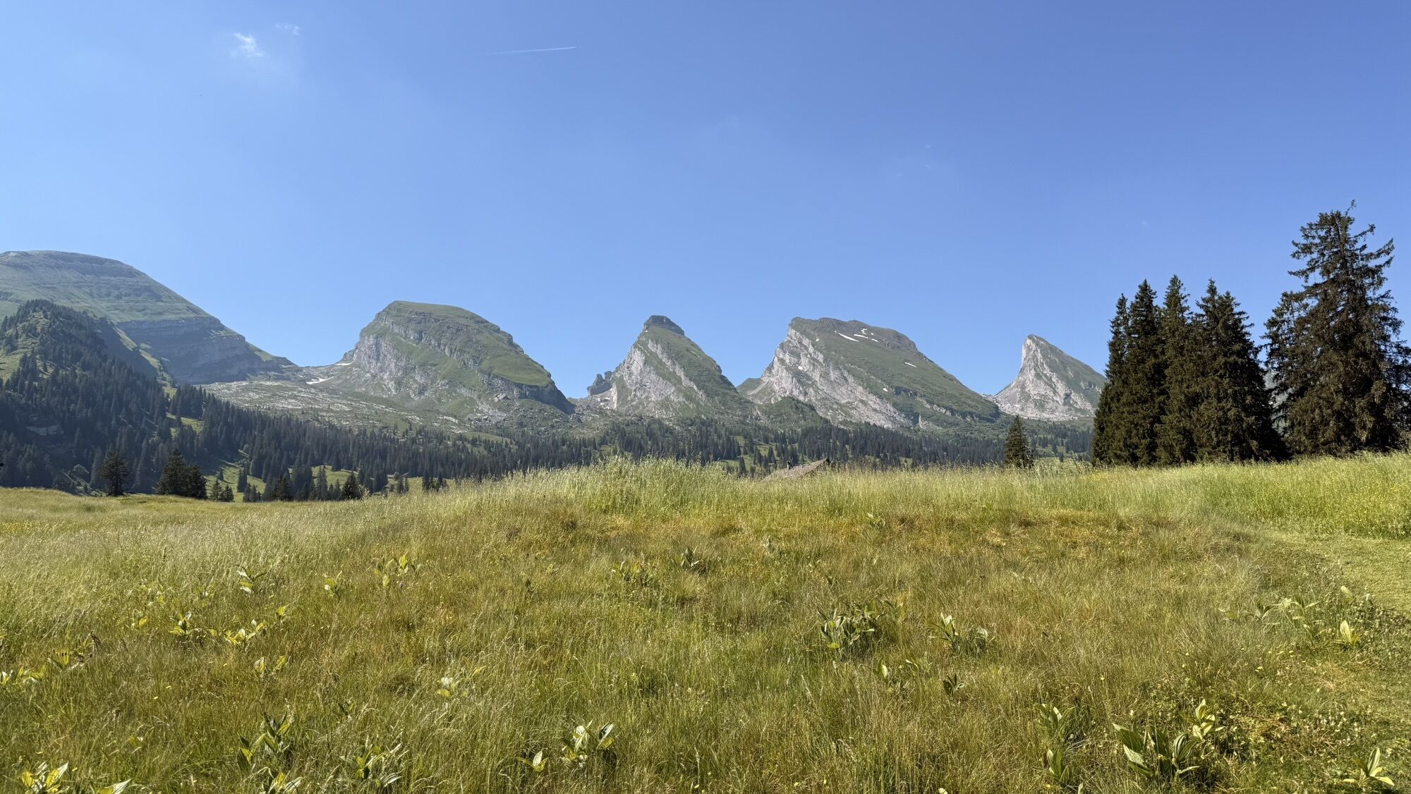
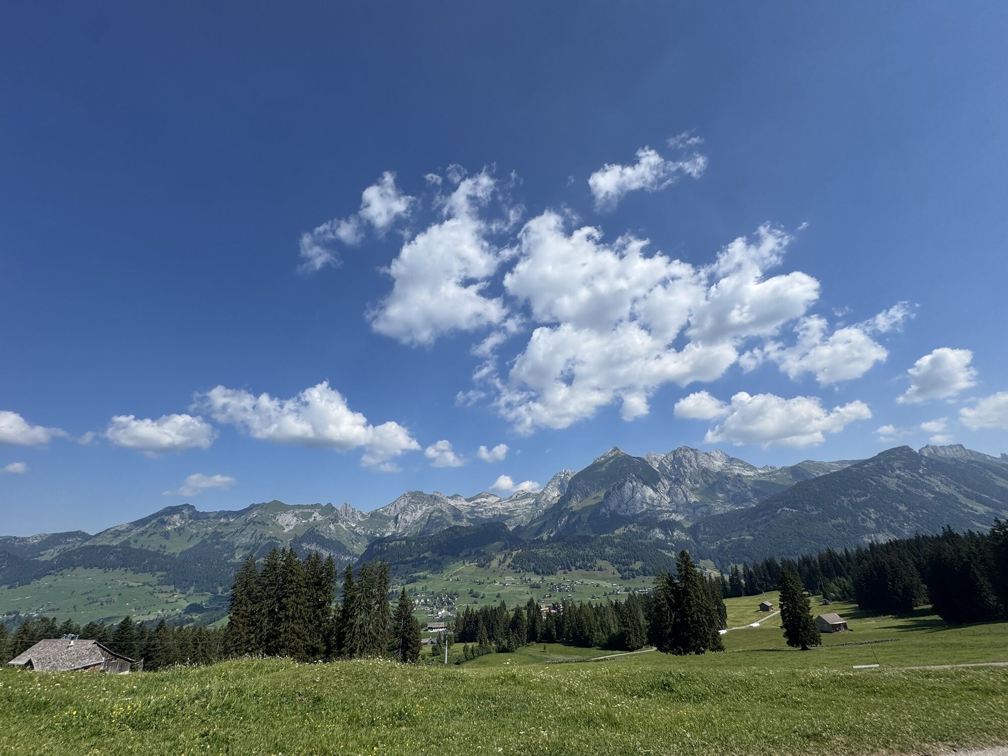
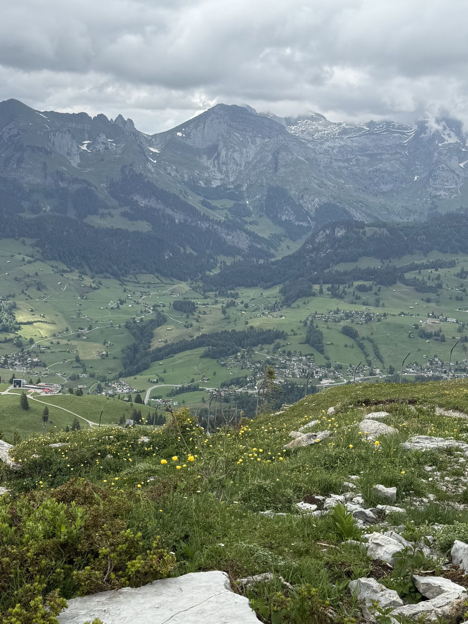
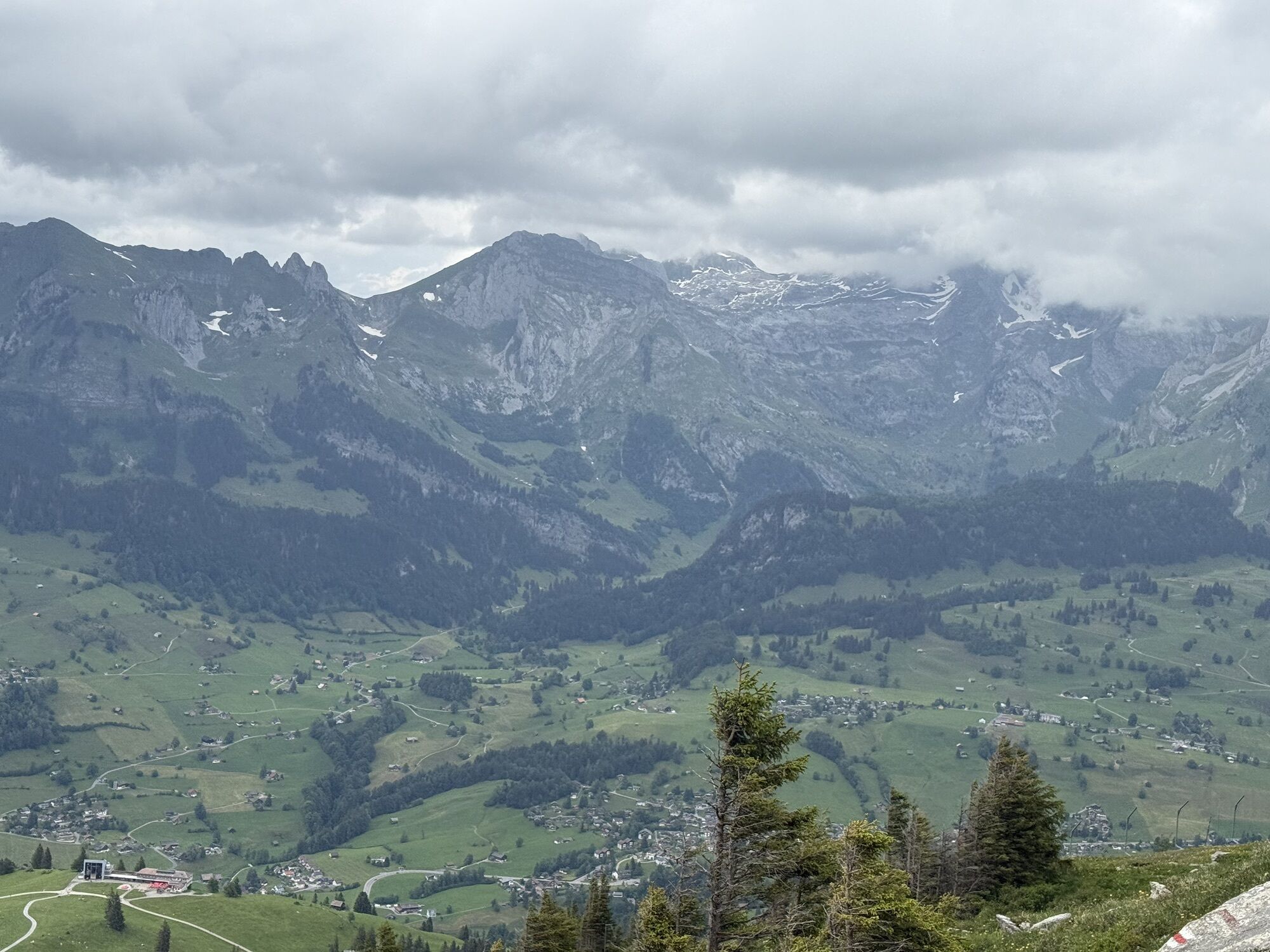
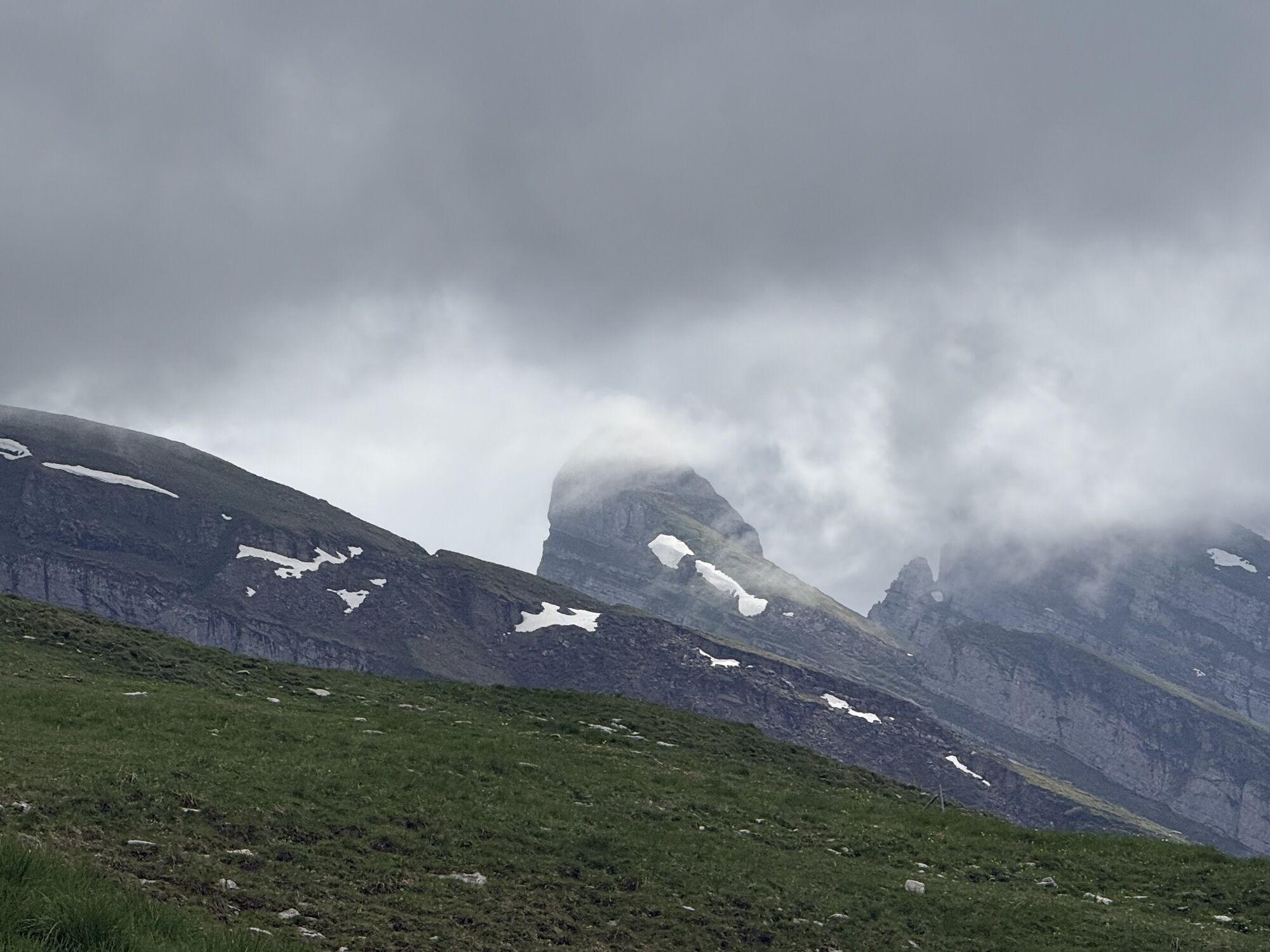
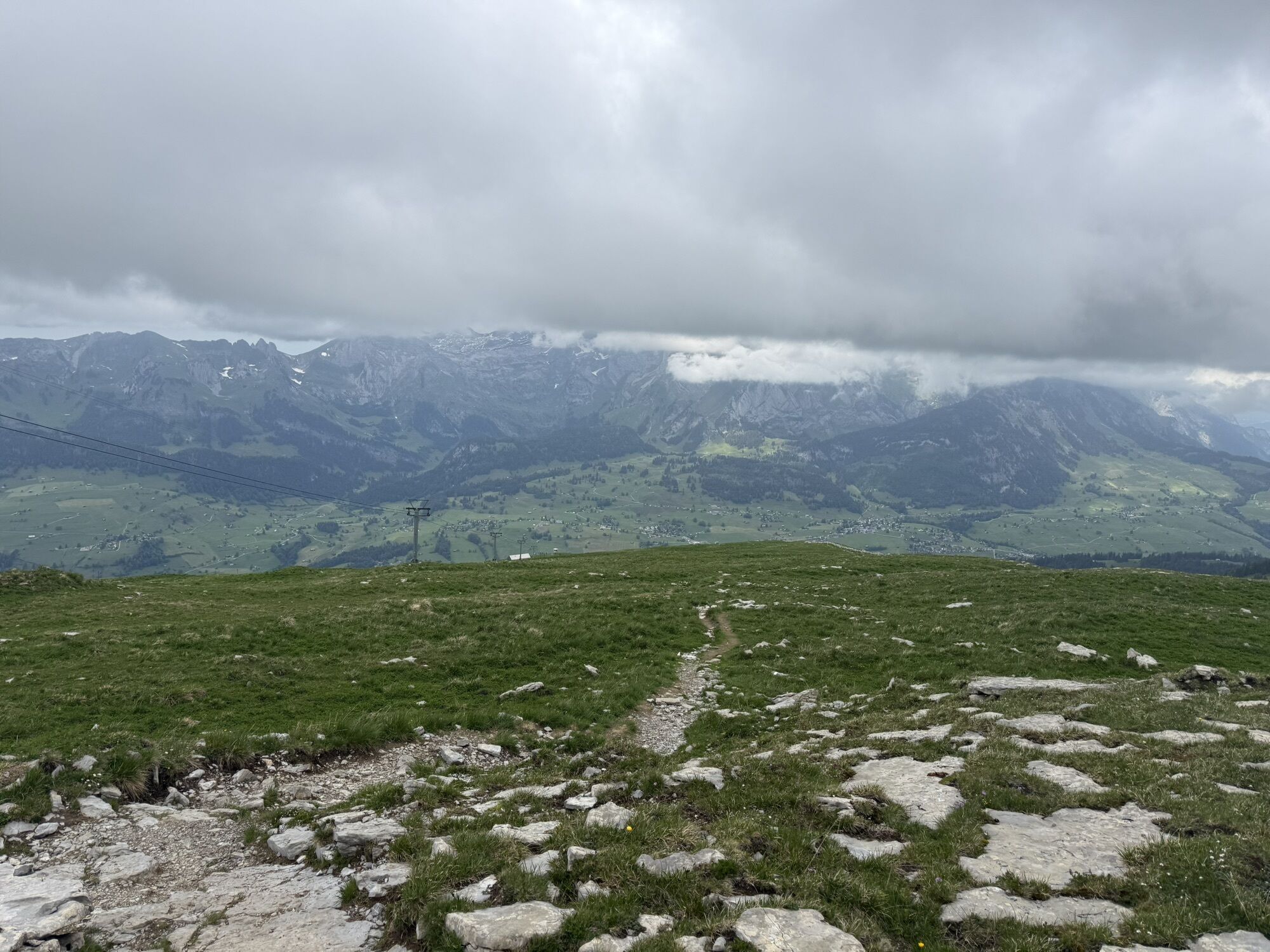
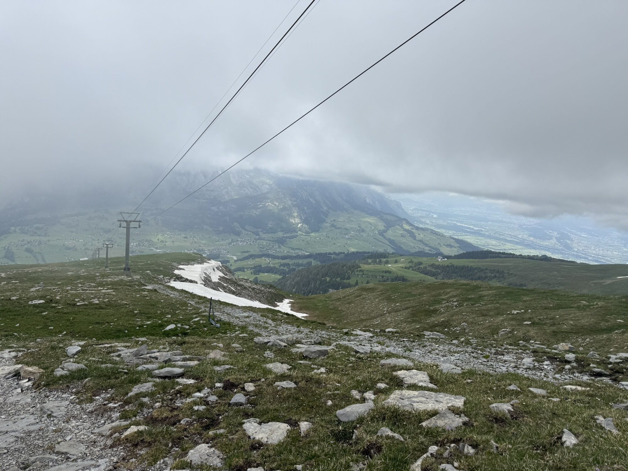
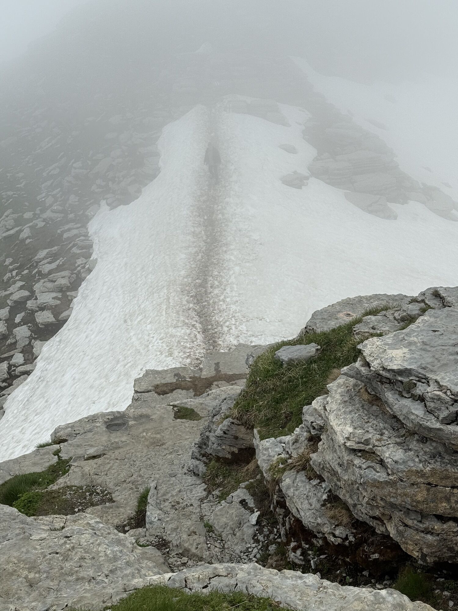
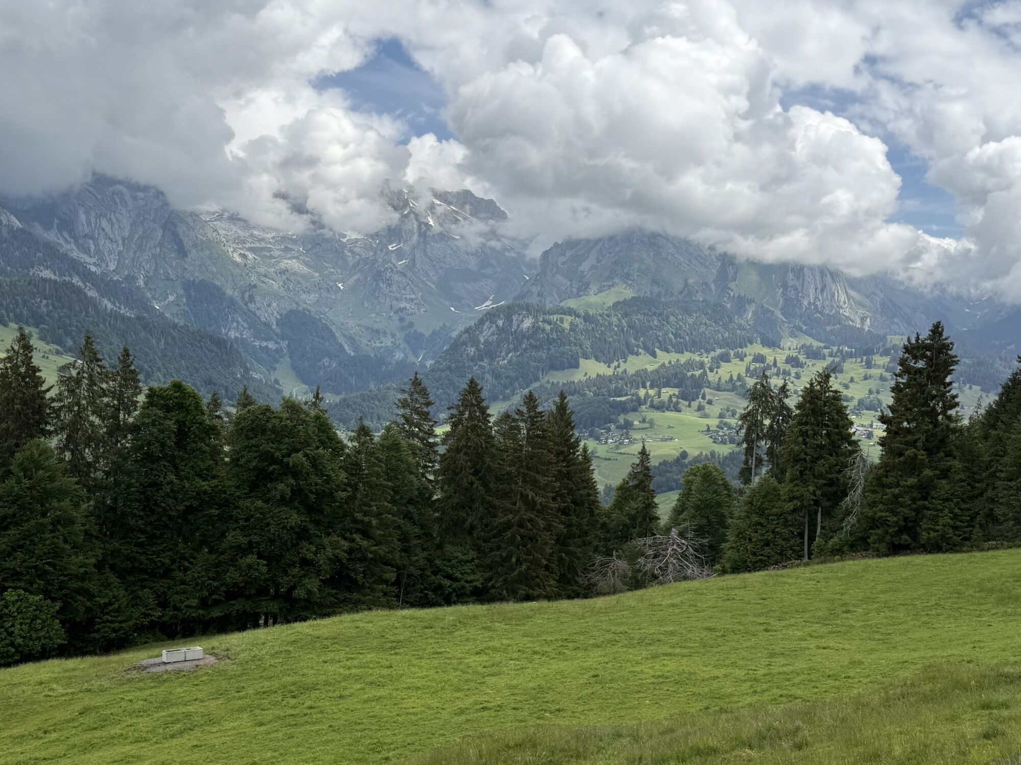
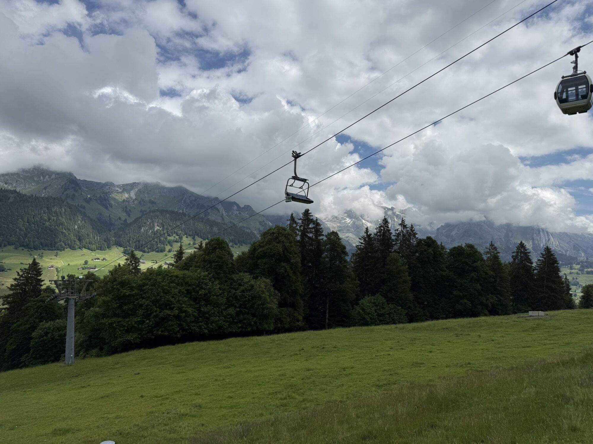
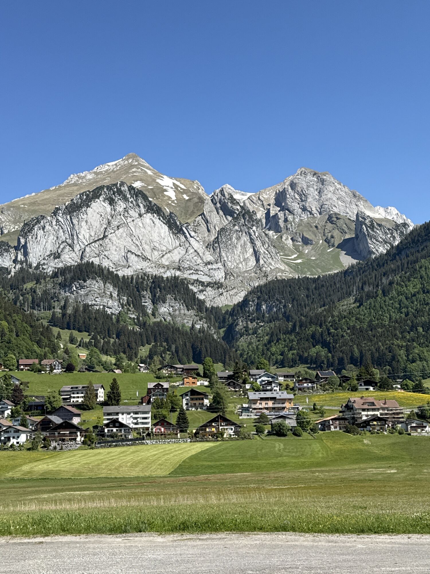
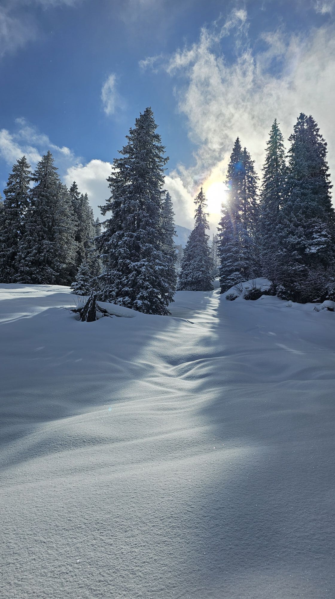
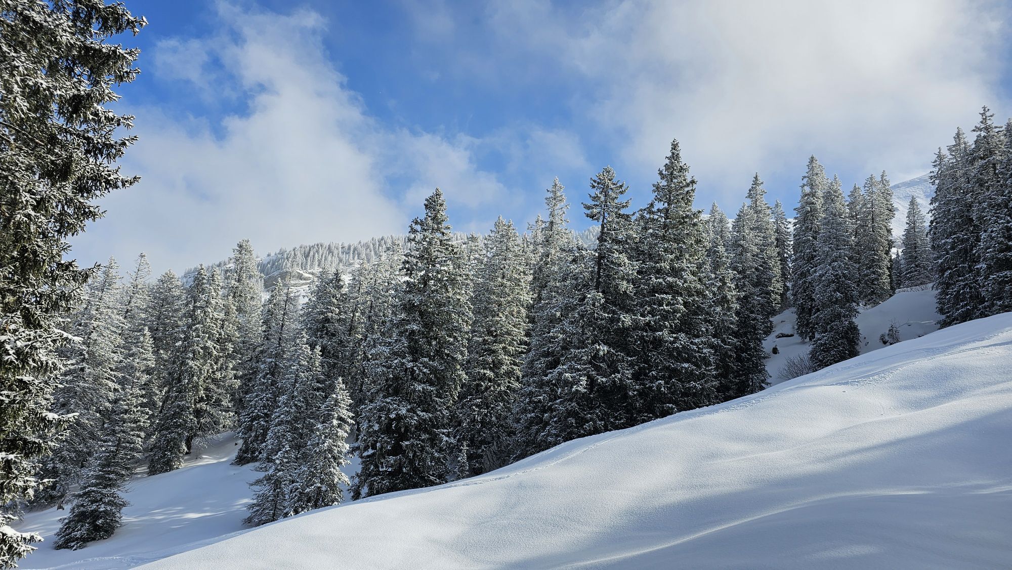
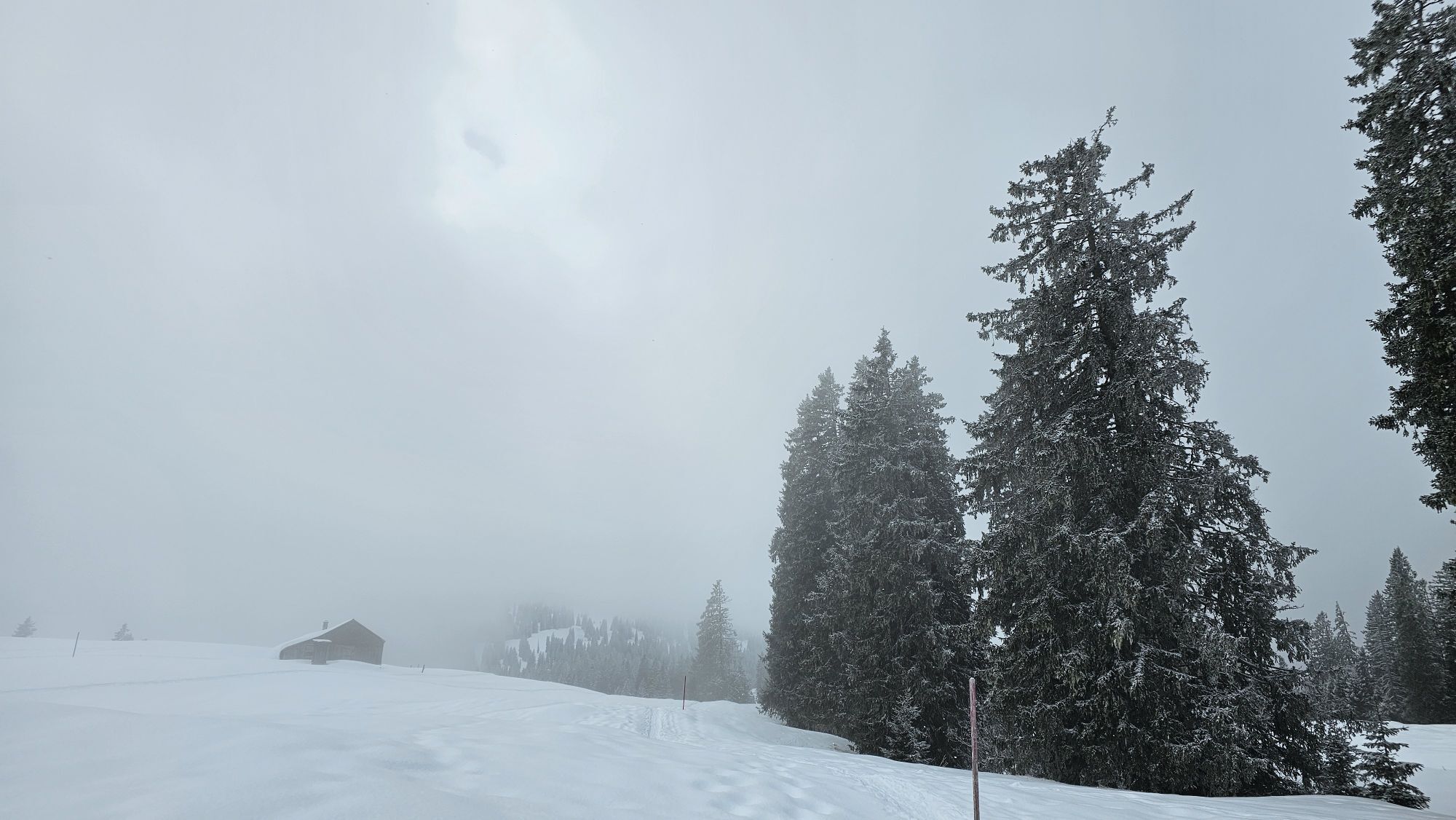
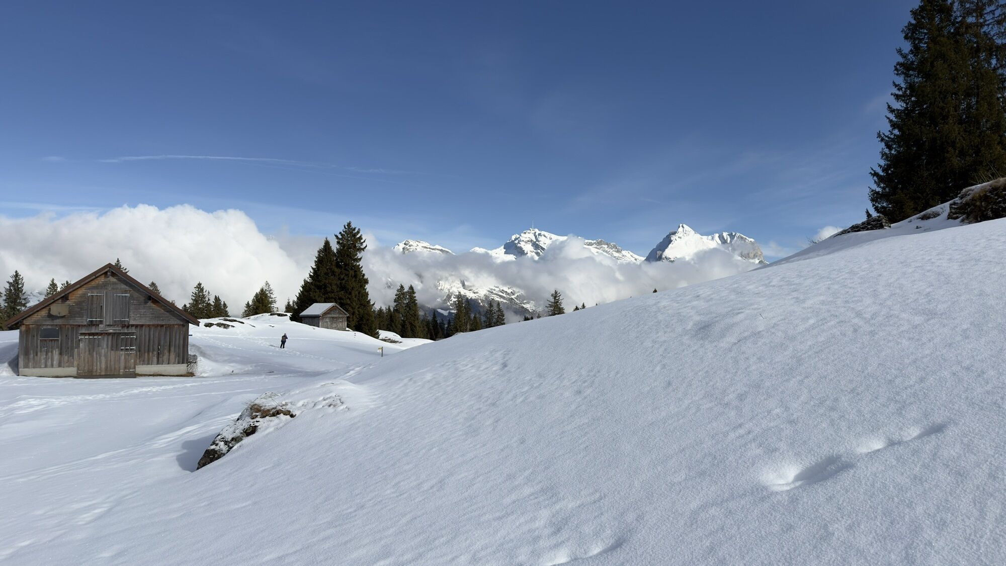
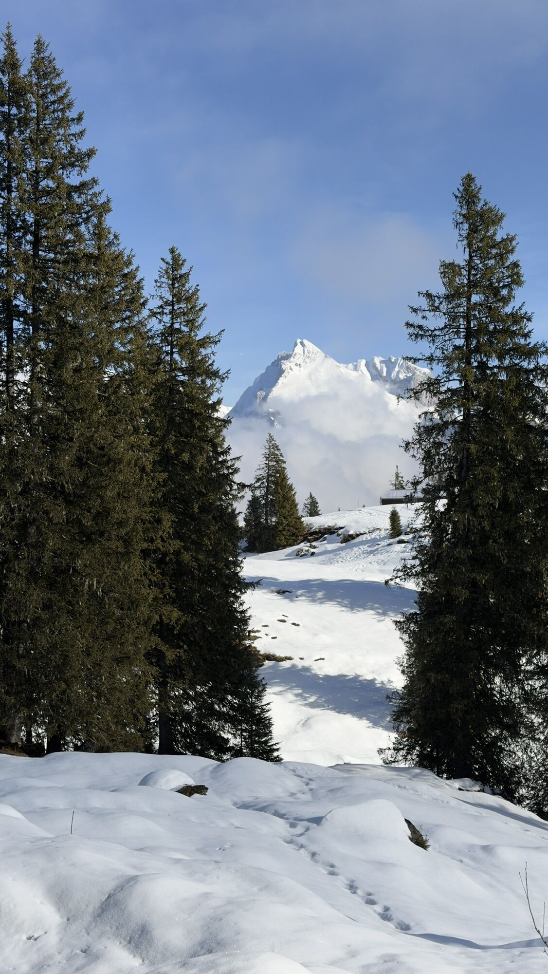
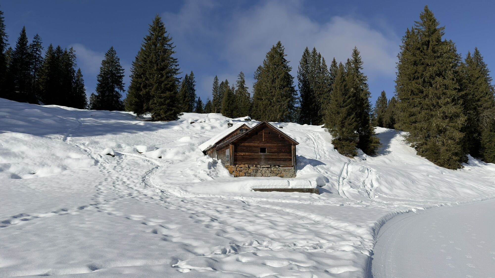
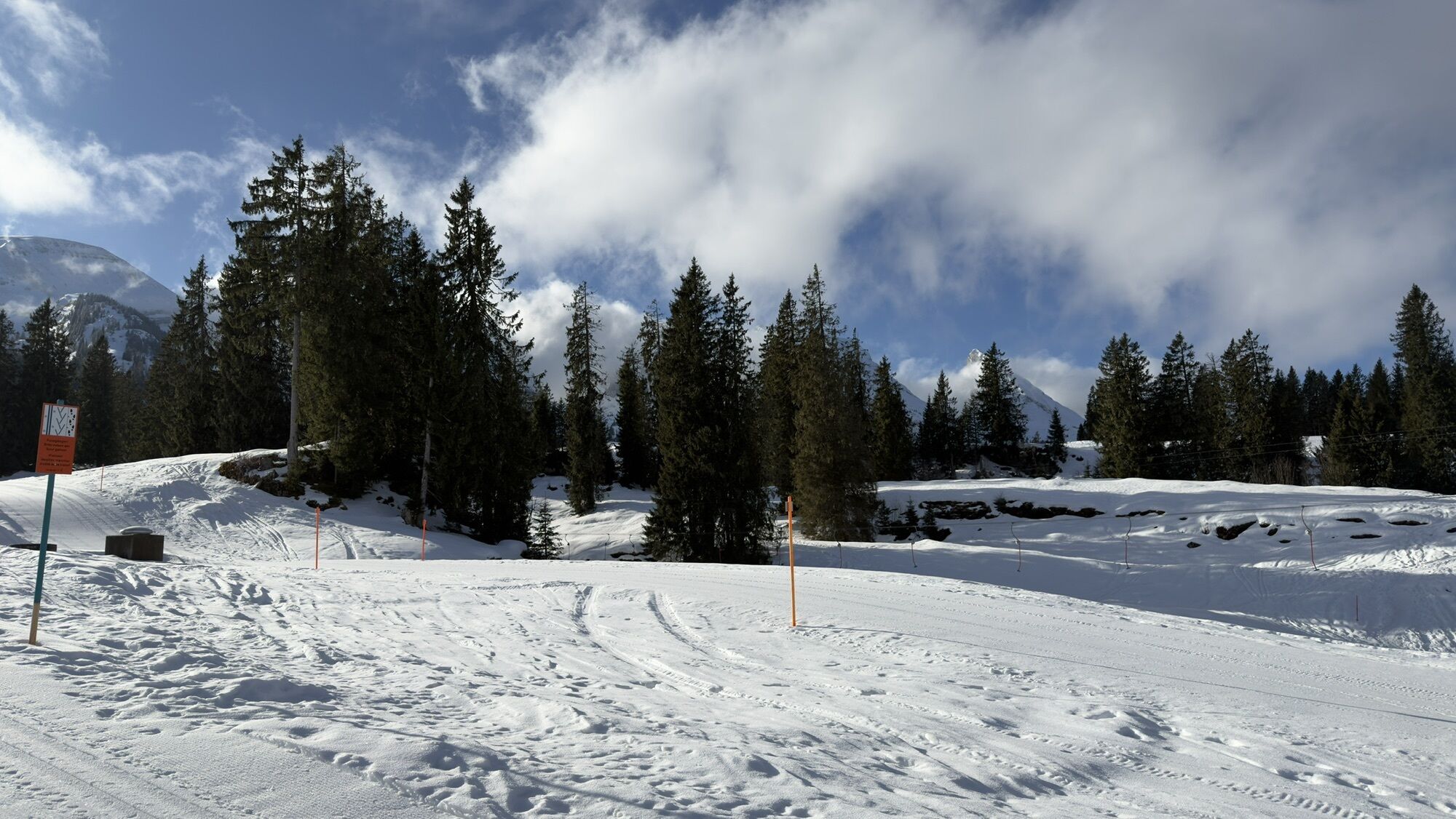
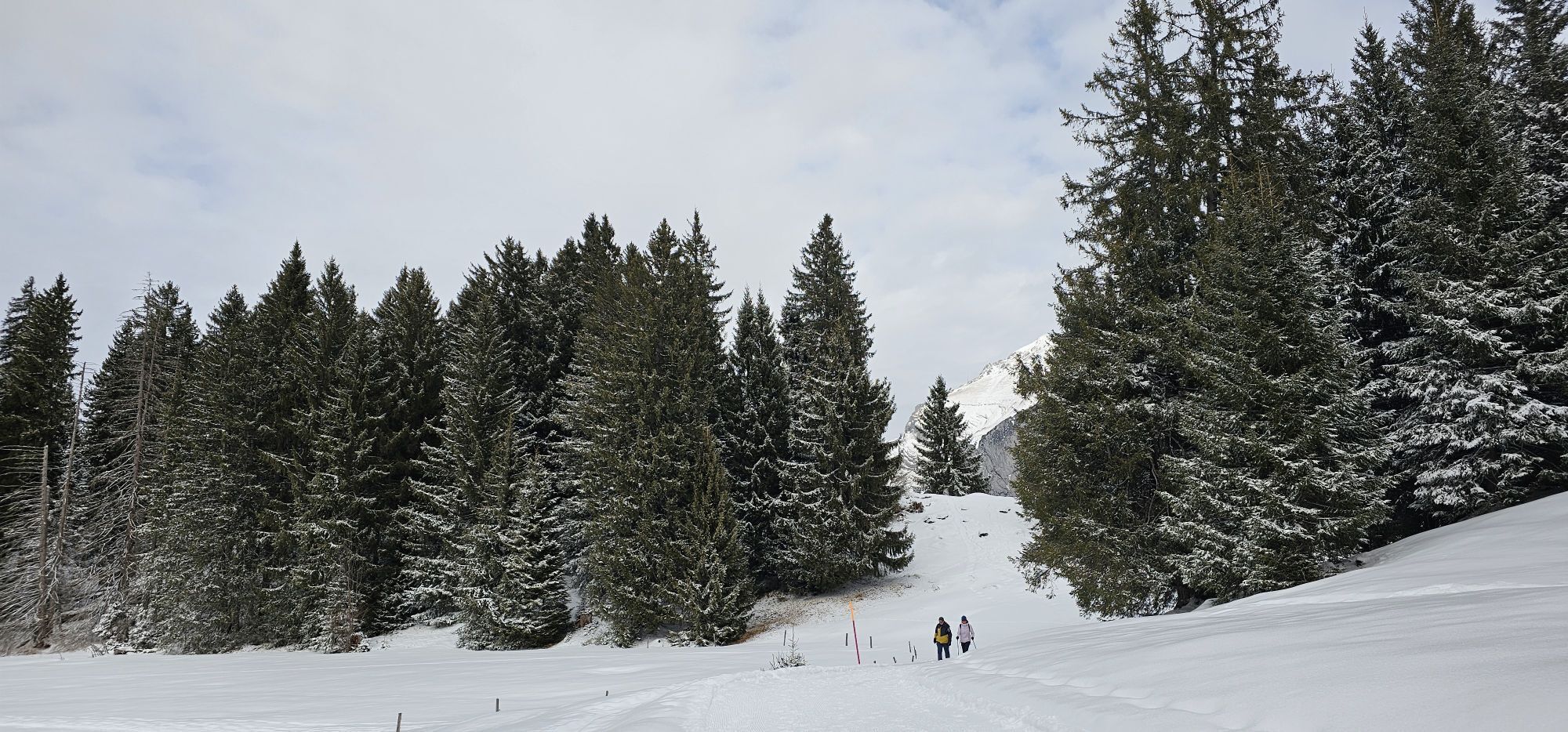
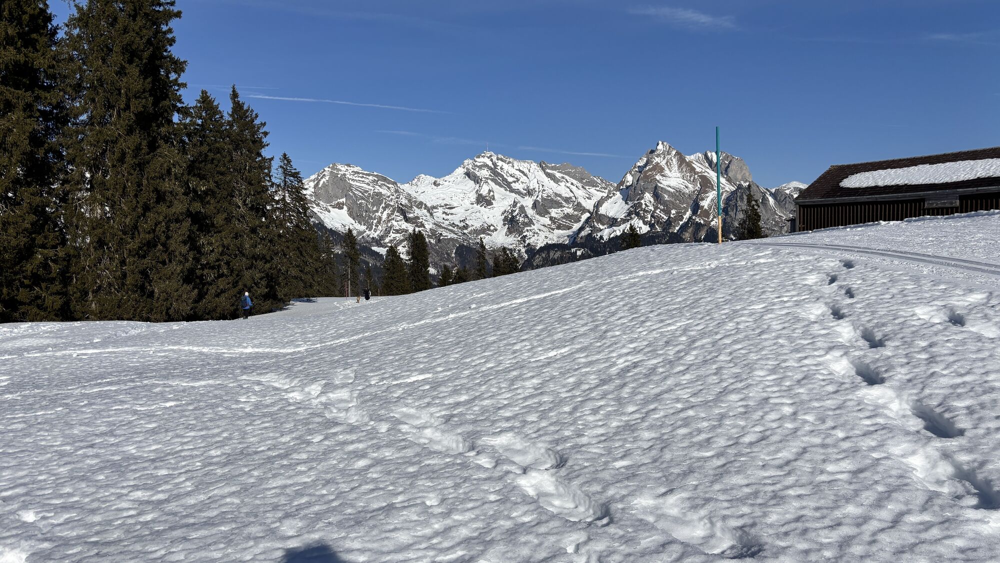
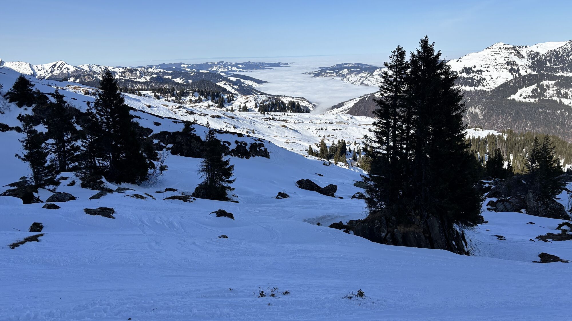
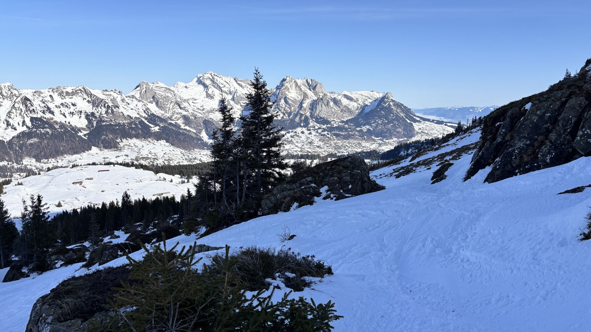
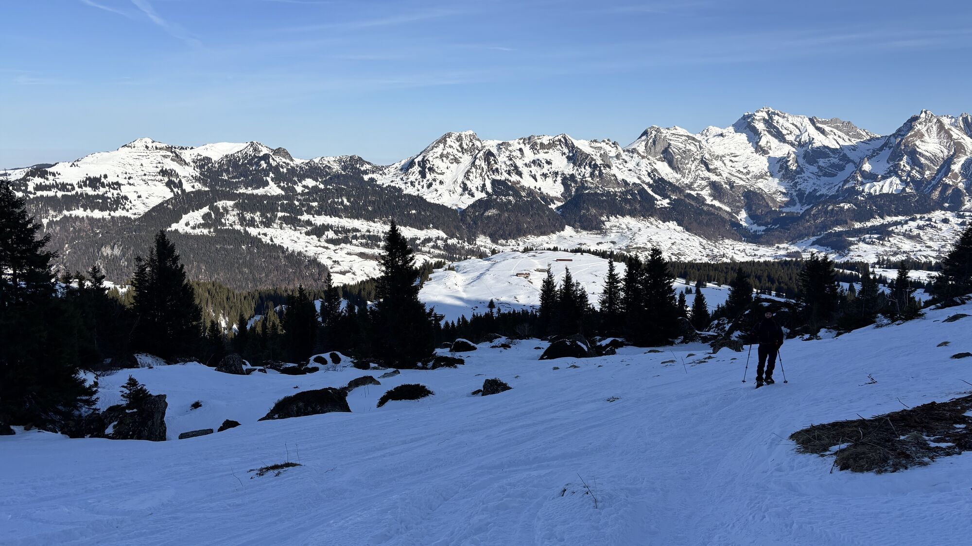
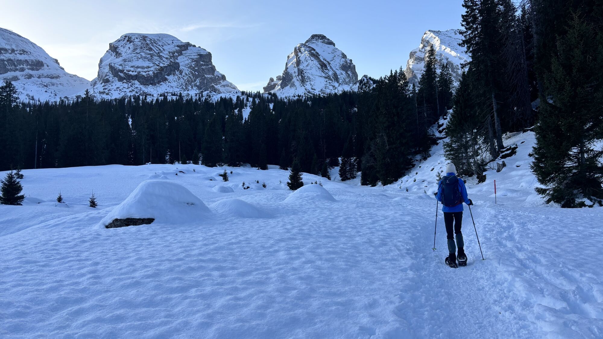
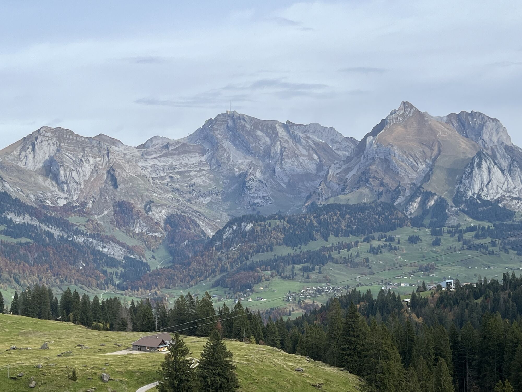

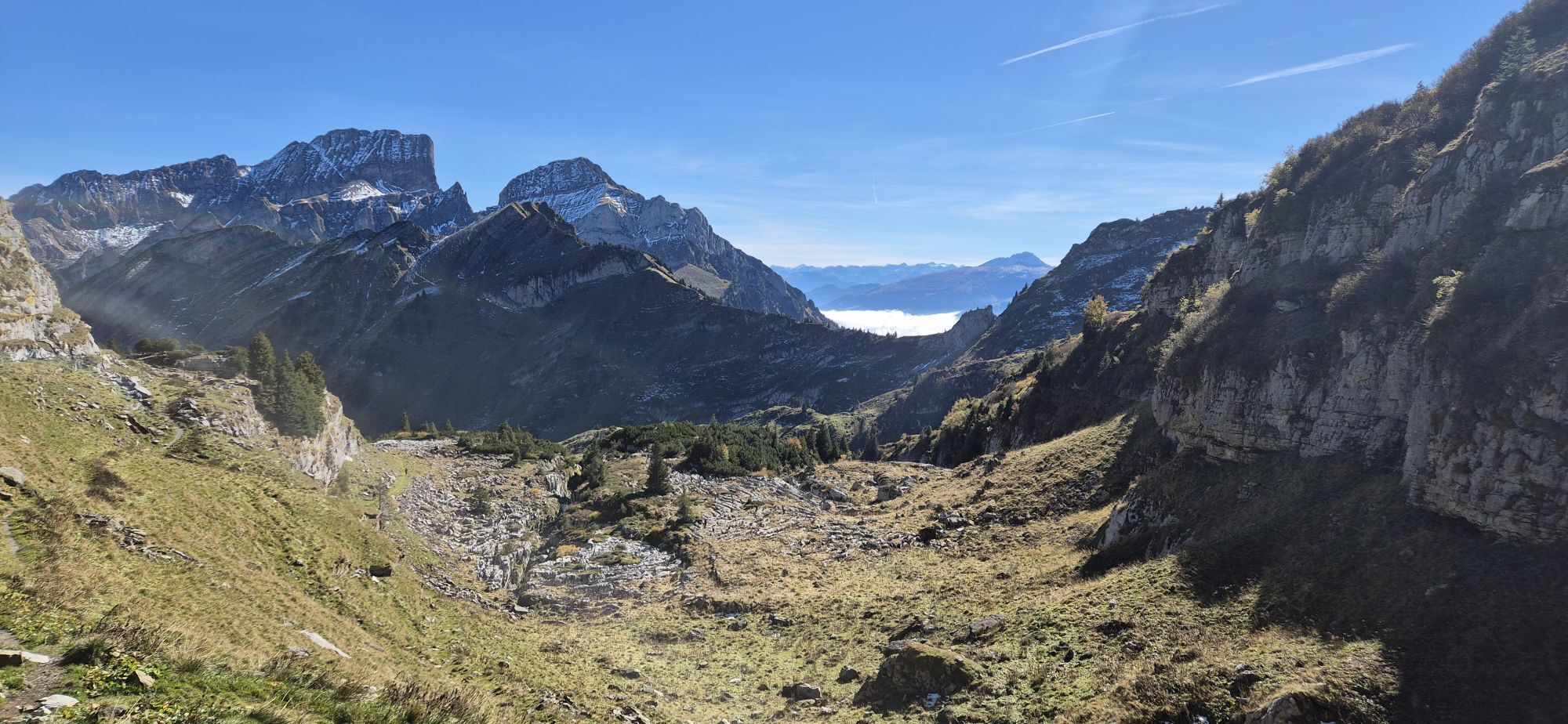
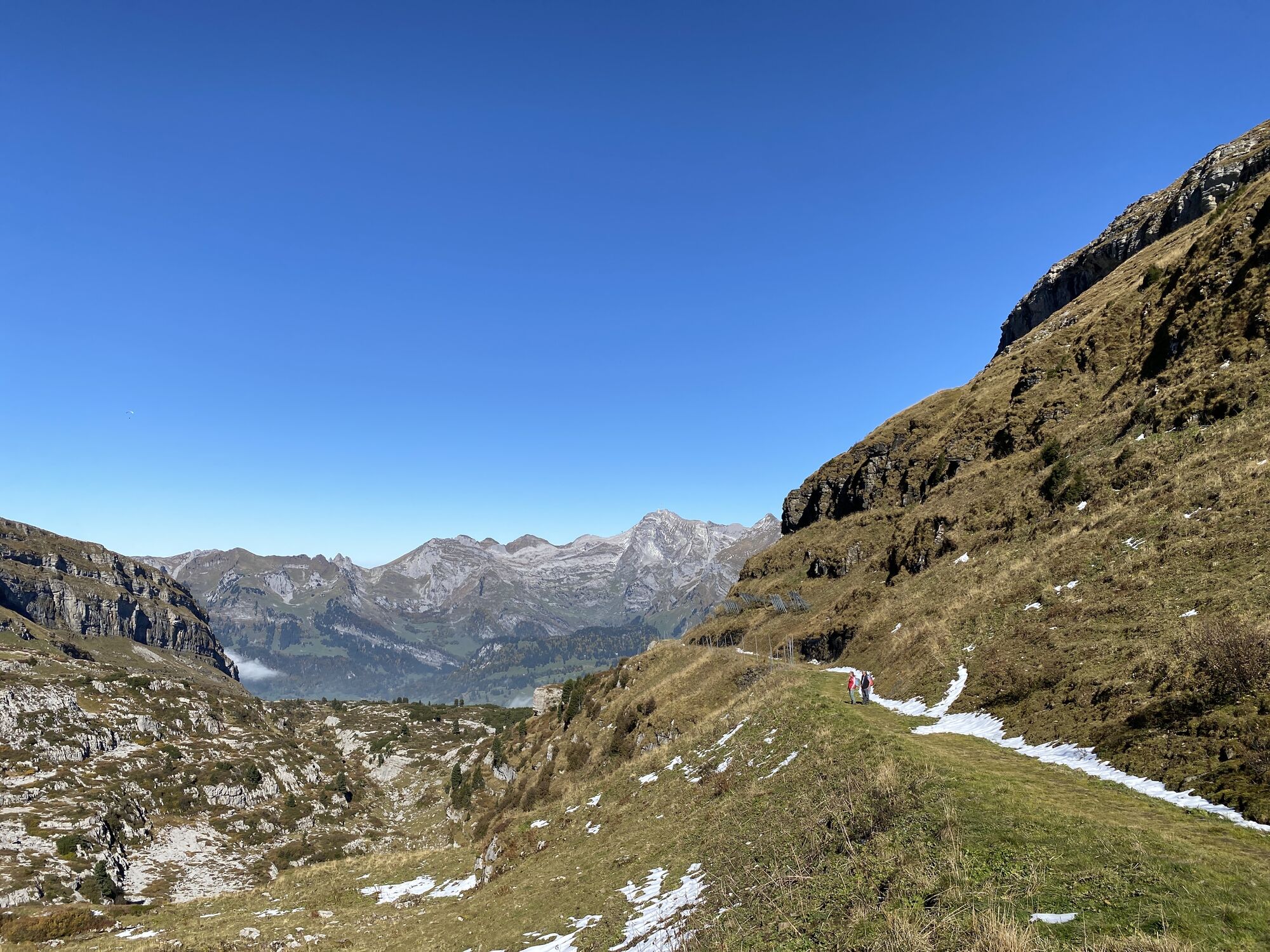
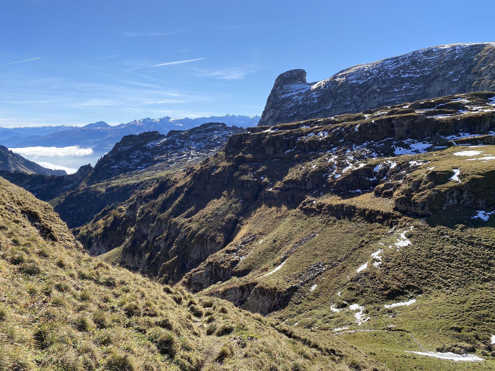
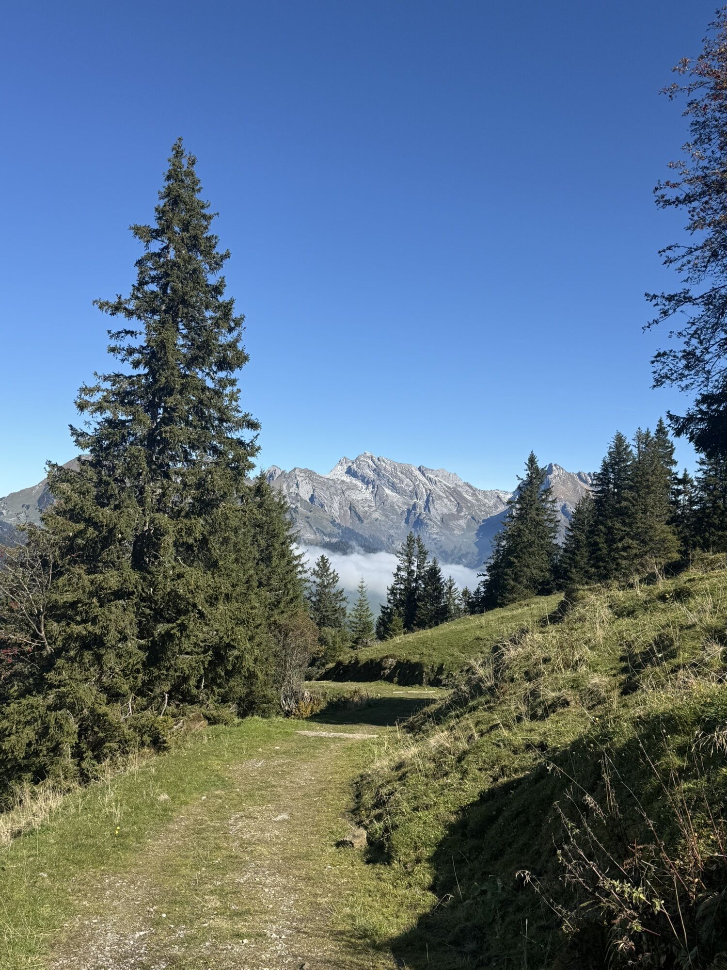
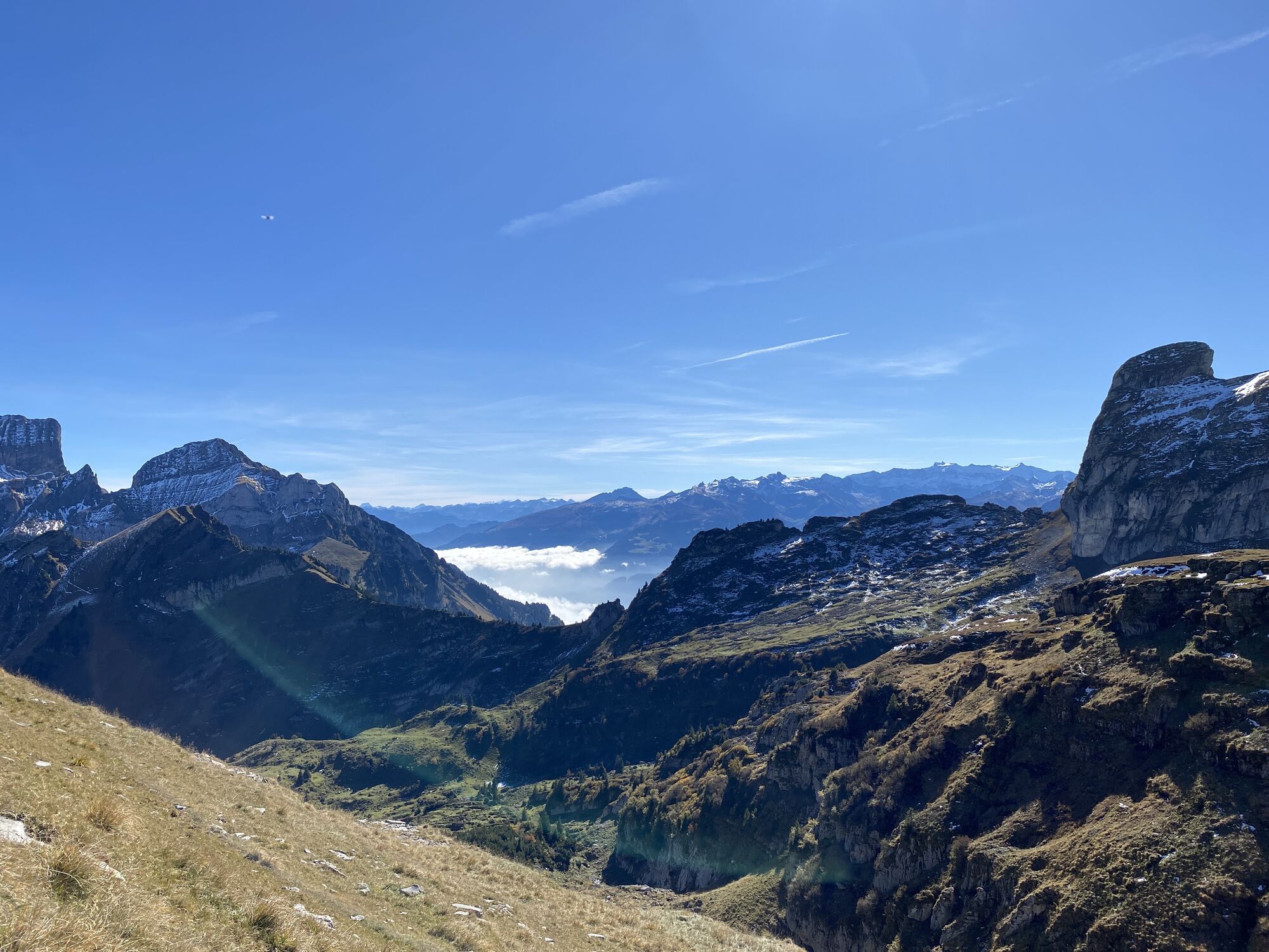
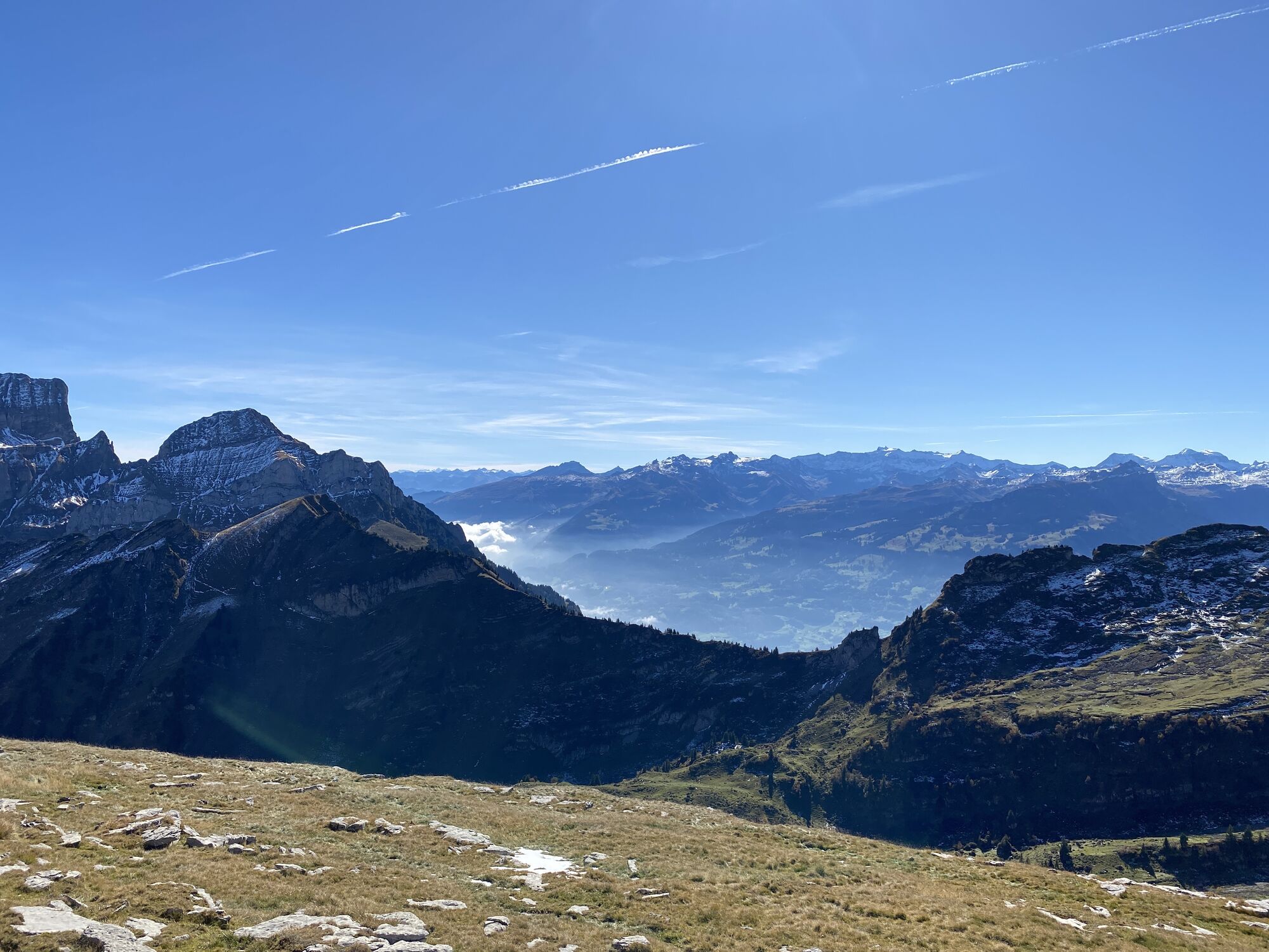
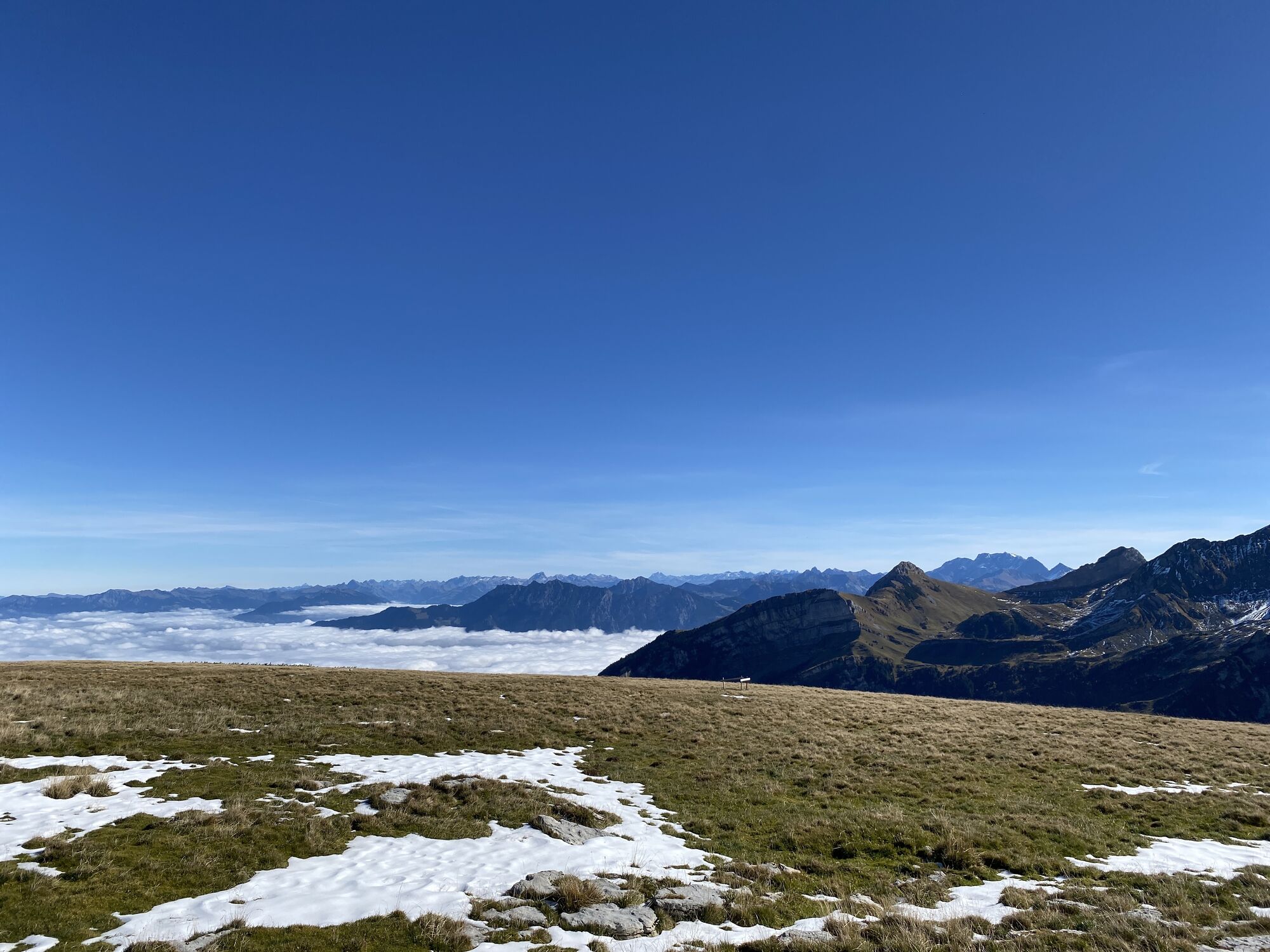
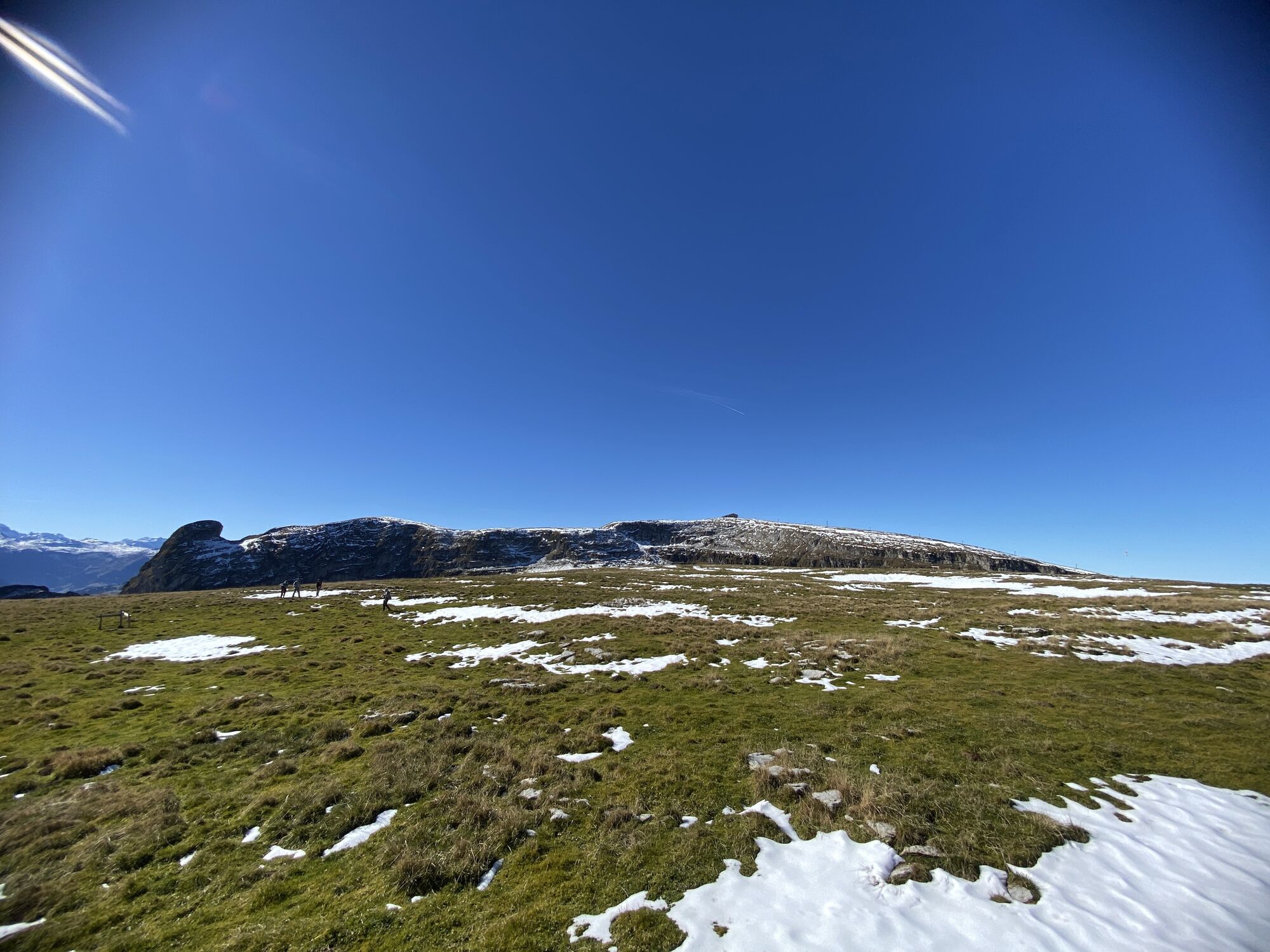
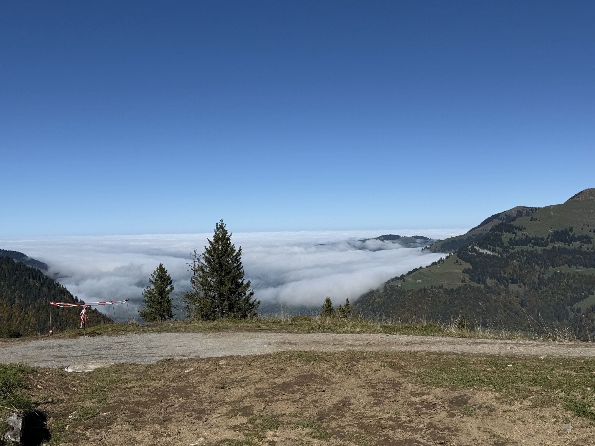
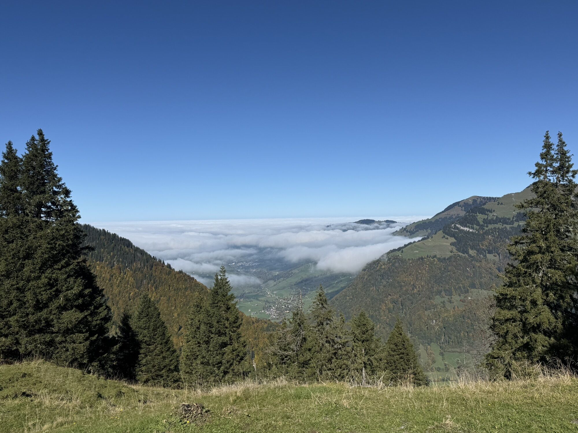
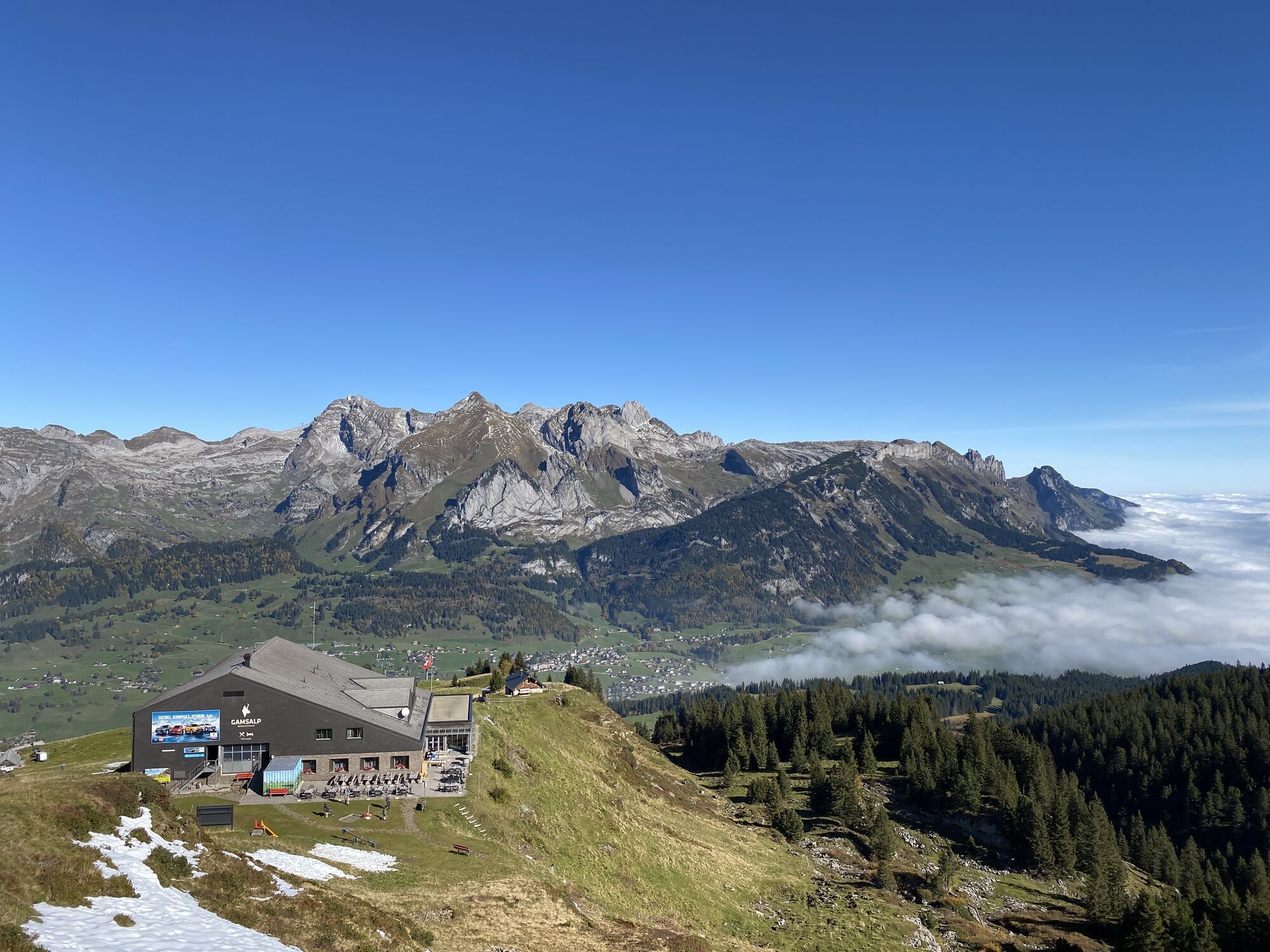
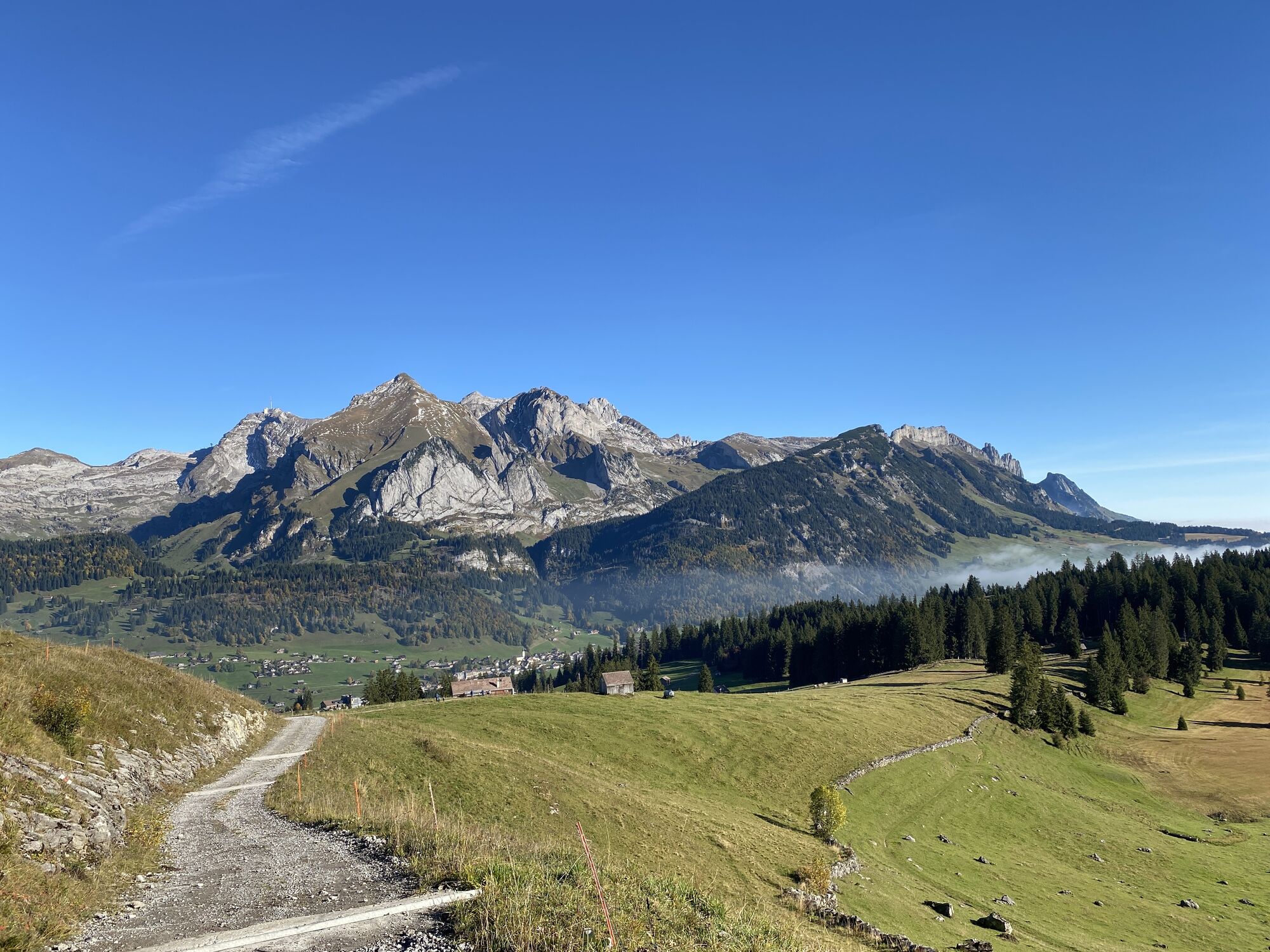
The Churfirsten Marathon is the most challenging running route in Obertoggenburg. It offers breathtaking views extending to the Alpstein area as well as enough elevation gain and kilometers to be sportily...
The Churfirsten Marathon is the most challenging running route in Obertoggenburg. It offers breathtaking views extending to the Alpstein area as well as enough elevation gain and kilometers to be sportily active.
For this sporting activity, pleasant temperatures prevail on the high plateau during the summer months. Furthermore, the route can also be taken at a more leisurely pace.
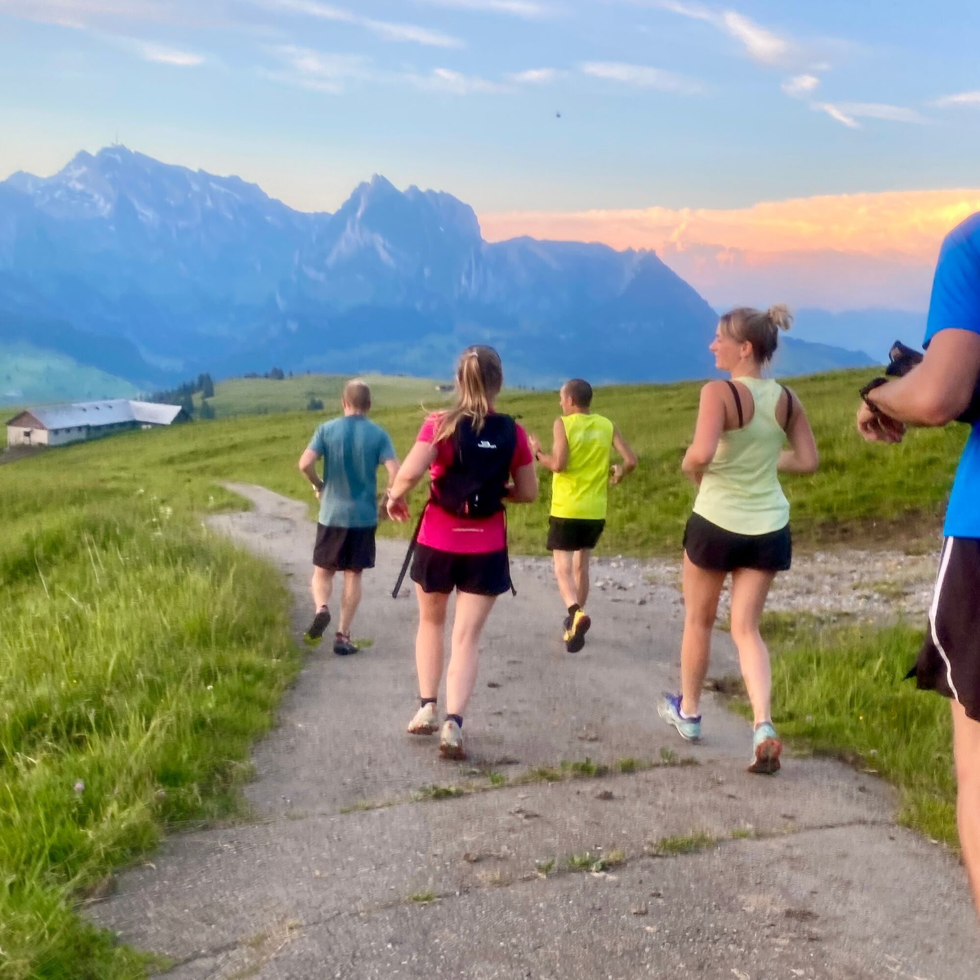
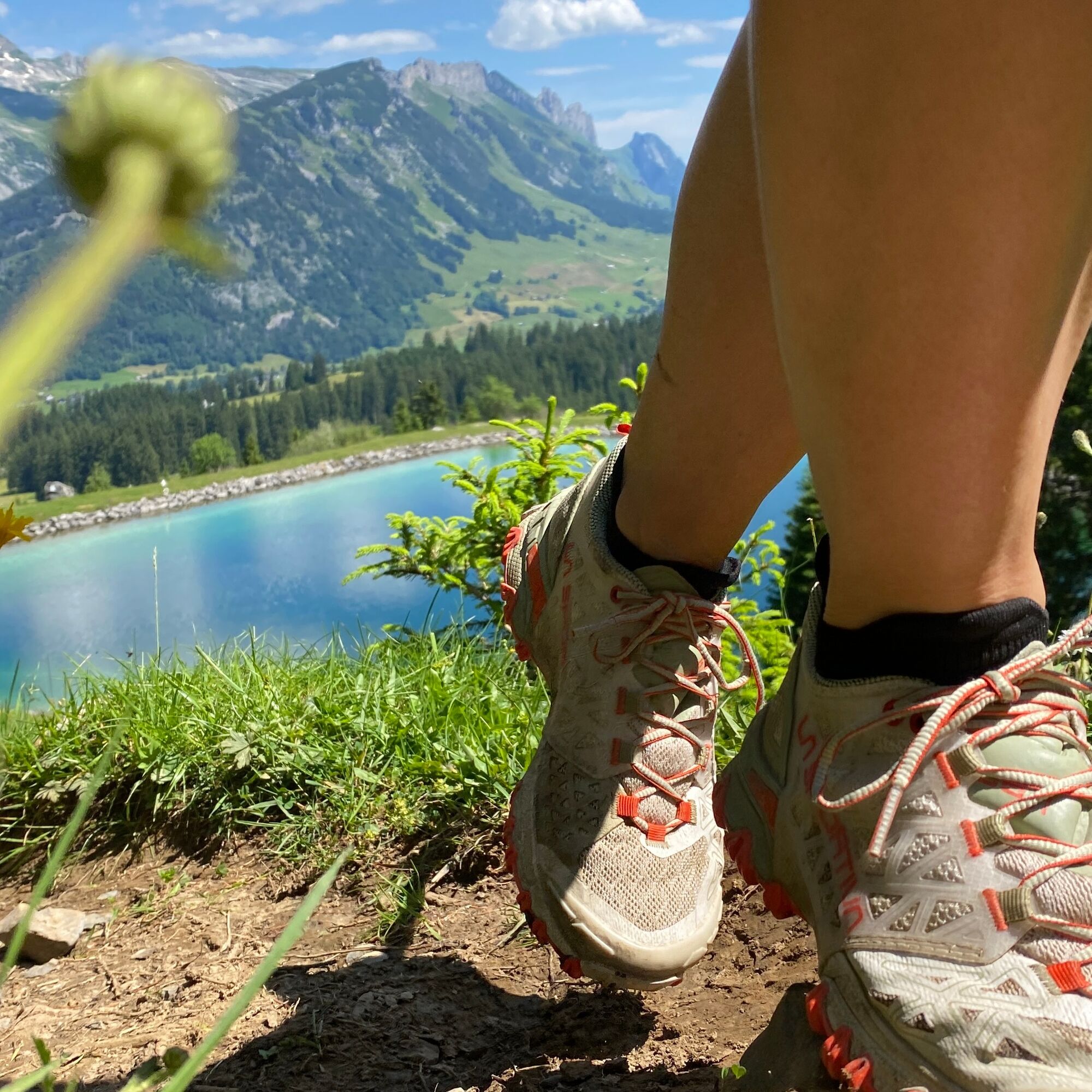


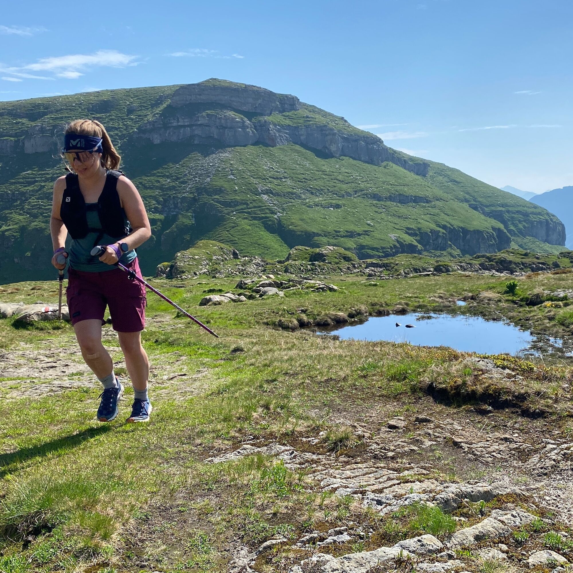
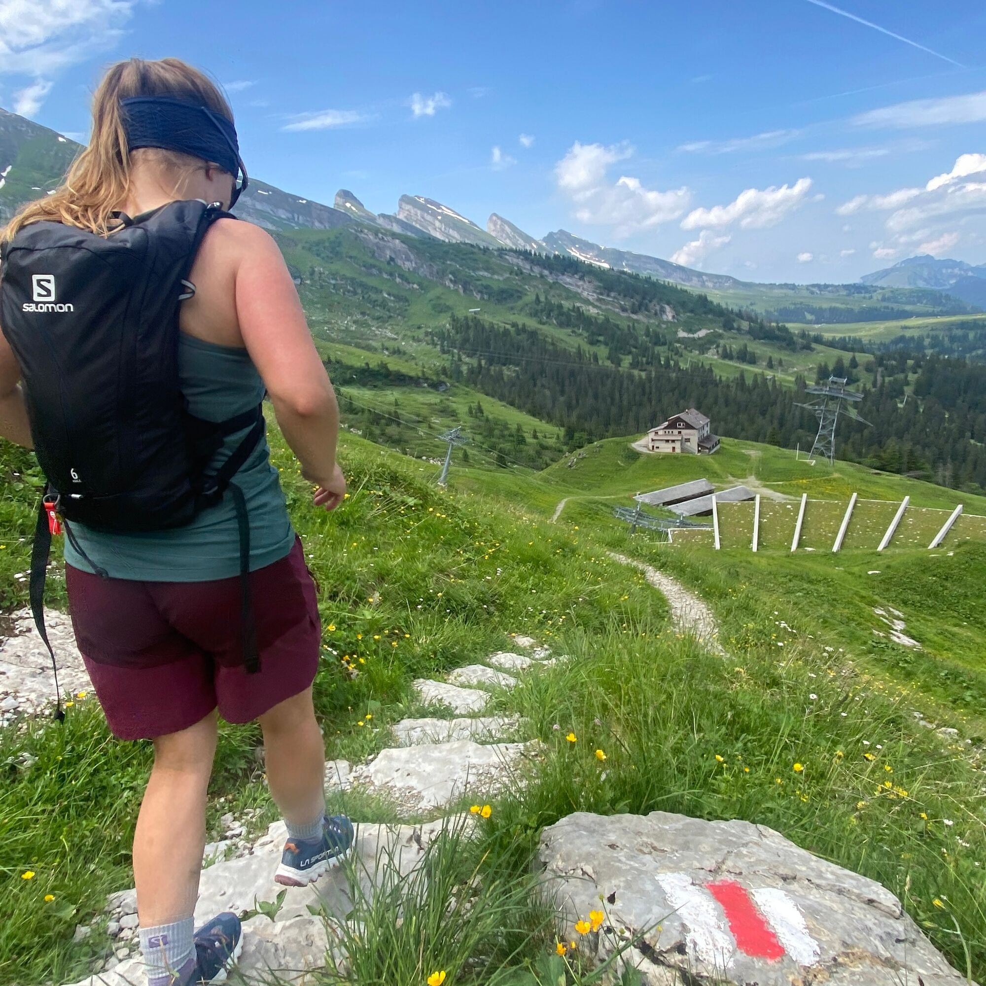

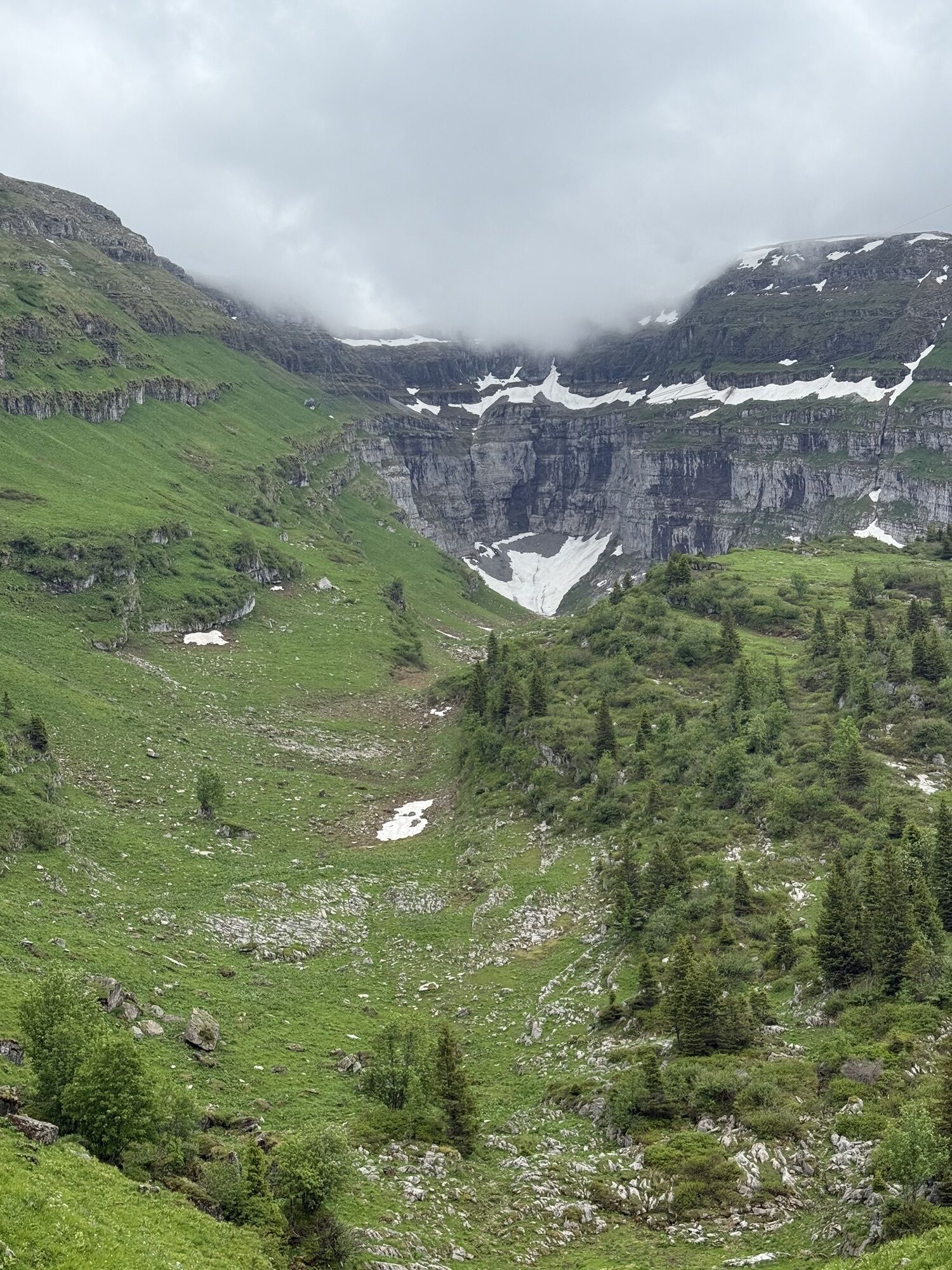
From the start, the route goes over Oberdorf up to the Gamserrugg at over 2,000m. After the uphill trend, there is a short descent, followed soon by another ascent where you reach the highest point - the Chäserrugg. Downhill over the Stöfeli, the trail then leads you along the Churfirsten over an elongated, varied high plateau to the foot of the Selun. From there, it goes up again to 2,205m. Back over Selamatt and Unterwasser, the path takes you to Munzenriet at the finish.
Tak
Light running backpack (approx. 5 to 10 liters) with rain cover, trail running shoes, if necessary special running socks, weather-appropriate and breathable clothing in a layered system, if needed trail running poles, sun and rain protection, provisions and drinking water, first aid kit, mobile phone, if needed headlamp and reflectors, map material
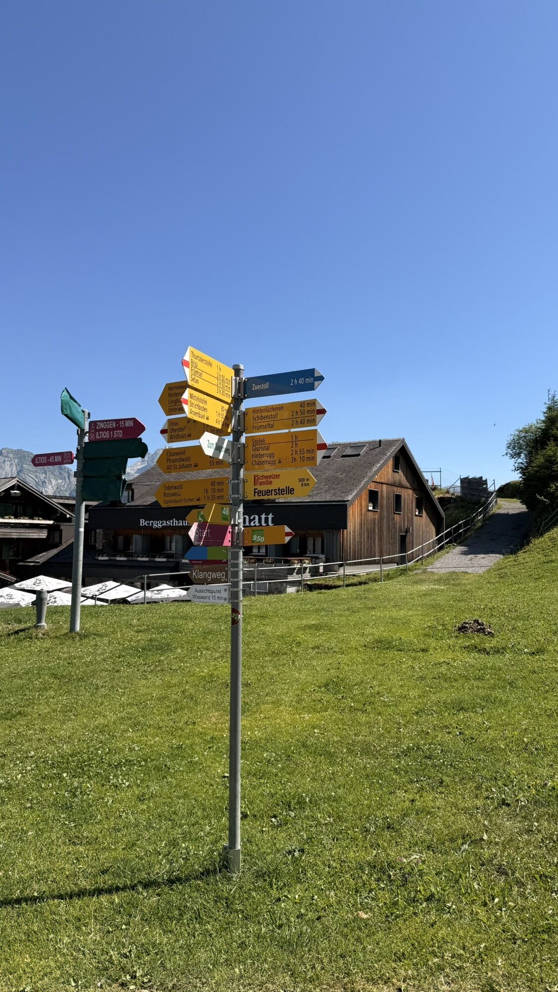
The route is not signposted. Additionally, this route does not follow a continuously marked hiking trail.
From St. Gallen to Herisau and further over the Wasserfluh to Lichtensteig. Or drive from St. Gallen to Wil, take the Toggenburg exit. Follow the main road to Wildhaus. From the Greater Zurich and Central Switzerland area:
On the A3 at Reichenburg towards Rapperswil and then over the Ricken Pass to Wattwil. Then up the Toggenburg to Wildhaus. From southern Germany:
Via Bregenz and St. Margrethen on the A13 to Haag, take the exit towards Toggenburg/Wildhaus and follow the main road to Wildhaus.
This route is accessible by train and bus.
Take the train to Nesslau-Neu St. Johann or Buchs SG, then the postal bus to the stop "Wildhaus, Lisighaus". From there, a short walk leads to the Sport & Leisure Centre Wildhaus where the route begins.
A large parking lot is available at the starting point of the route.
T3
Toggenburg Tourism
Hauptstrasse 104
9658 Wildhaus
Tel.: +41 (0) 71 999 99 11
Email: info@toggenburg.swiss
Web: www.toggenburg.swiss
Information on the trail running event
www.churfirstentrailrun.ch
To enjoy the route and the surrounding landscape, regular breaks should be taken at beautiful spots.
Kamery internetowe z trasy
Uzyskaj wgląd
Zawsze na żywo z ponad 9 500 kamer internetowych. bergfex Jako użytkownik Pro, możesz teraz zobaczyć odpowiednie kamery internetowe dla wielu wycieczek w aplikacji wycieczki od. Pozwala to na bezpośredni podgląd aktualnych warunków.
Popularne wycieczki w okolicy
-
4,8
Walensee Riviera Weesen - Quinten
średniWędrówka 10,2 km -
4,8
Riviera Lake Walen Walenstadt-Quinten
średniWędrówka 10,4 km -
4,6
Weesen - Quinten - Walenstadt
ciężkiWędrówka 20,6 km -
5,0
Staubern-Runde (15.8.2021)
średniWędrówka 8,65 km -
4,9
Säntis-Gipfeltour, Wasserauen / Appenzell Innerrhoden
ciężkiWędrówka 21,1 km -
4,6
Wasserauen - Seealpsee - Wasserauen
średniWędrówka 7,71 km -
5,0
Schrina Alp and Cultural Trail
średniTrasa tematyczna 11,5 km -
4,7
Alvier
średniWędrówka 3,33 km -
4,7
4-Summit-Route Flumserberg
średniWędrówka 8,65 km -
4,5
Säntis
średniWycieczki górskie 17,5 km
Wędrówki i tropienie


Nie przegap ofert i inspiracji na następne wakacje
Twój adres e-mail została dodana do listy mailingowej.





