







Toggenburg Legends Trail

Poziom trudności: T1
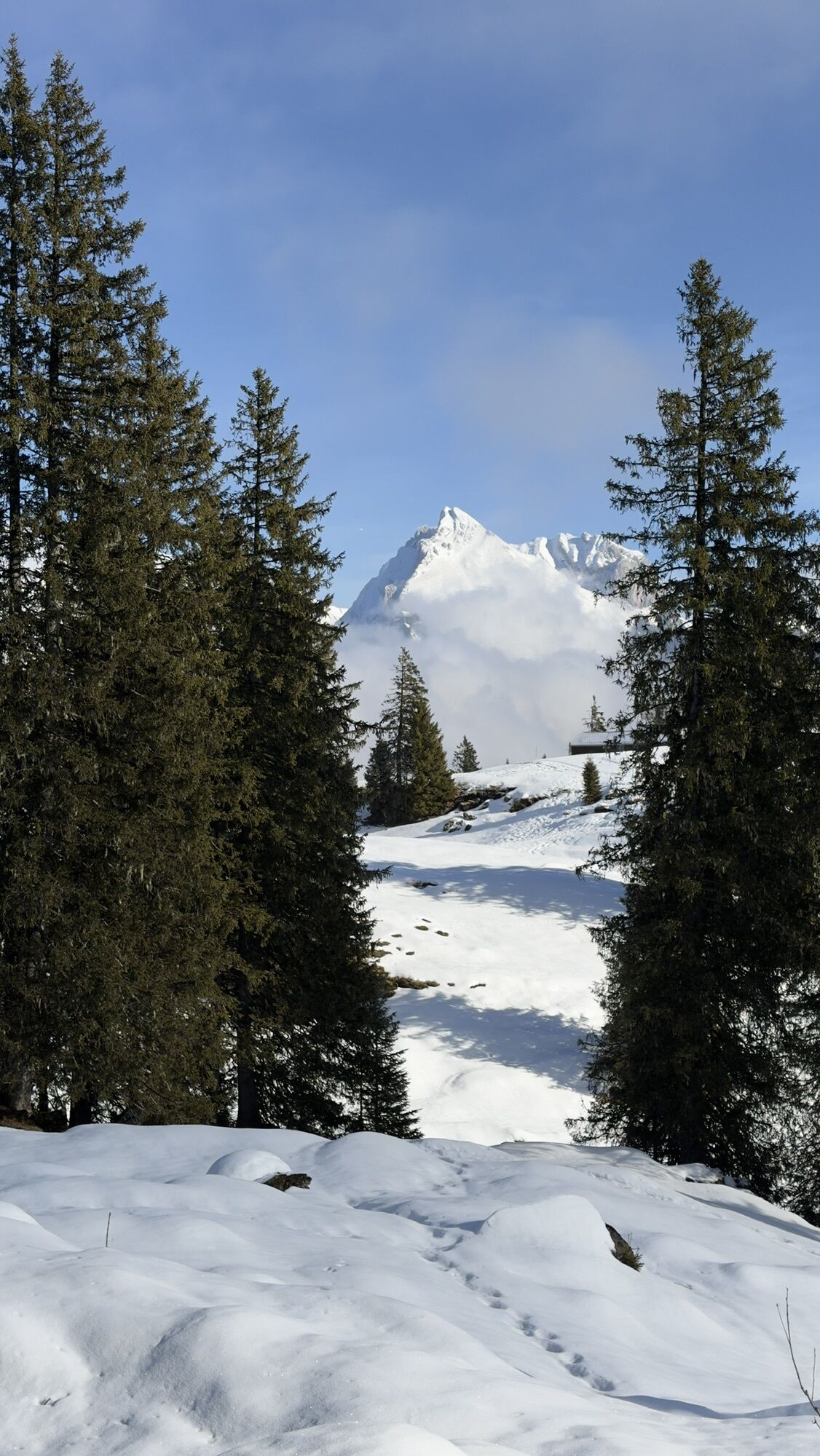
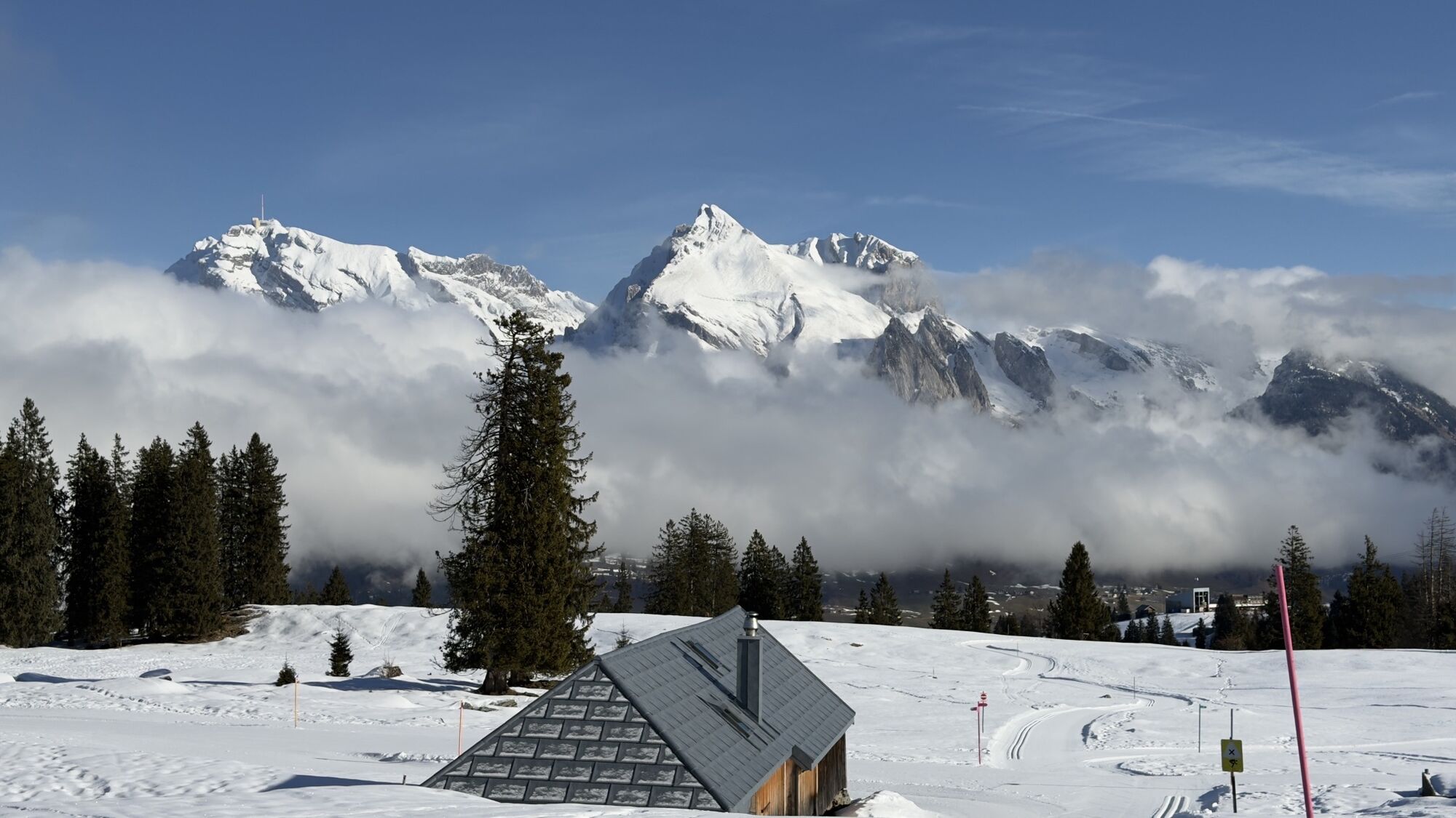
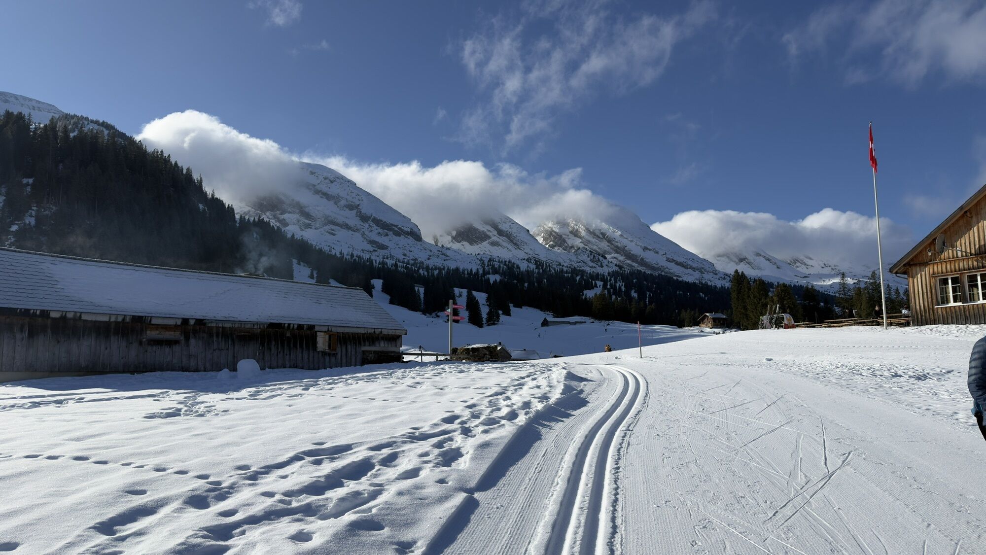
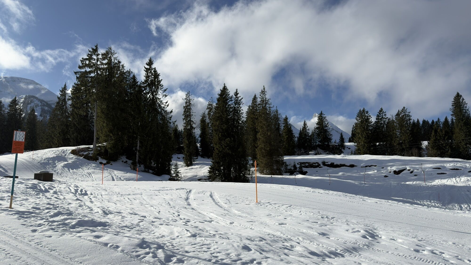
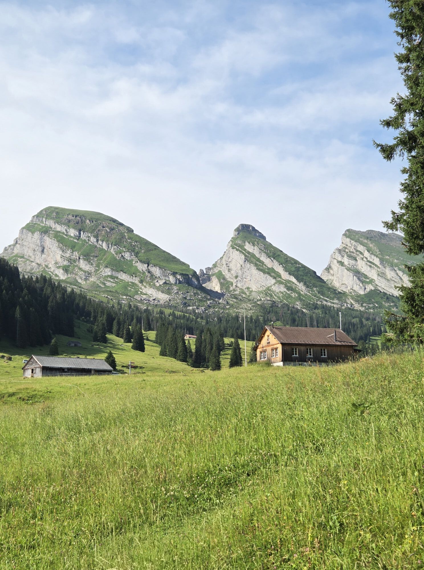
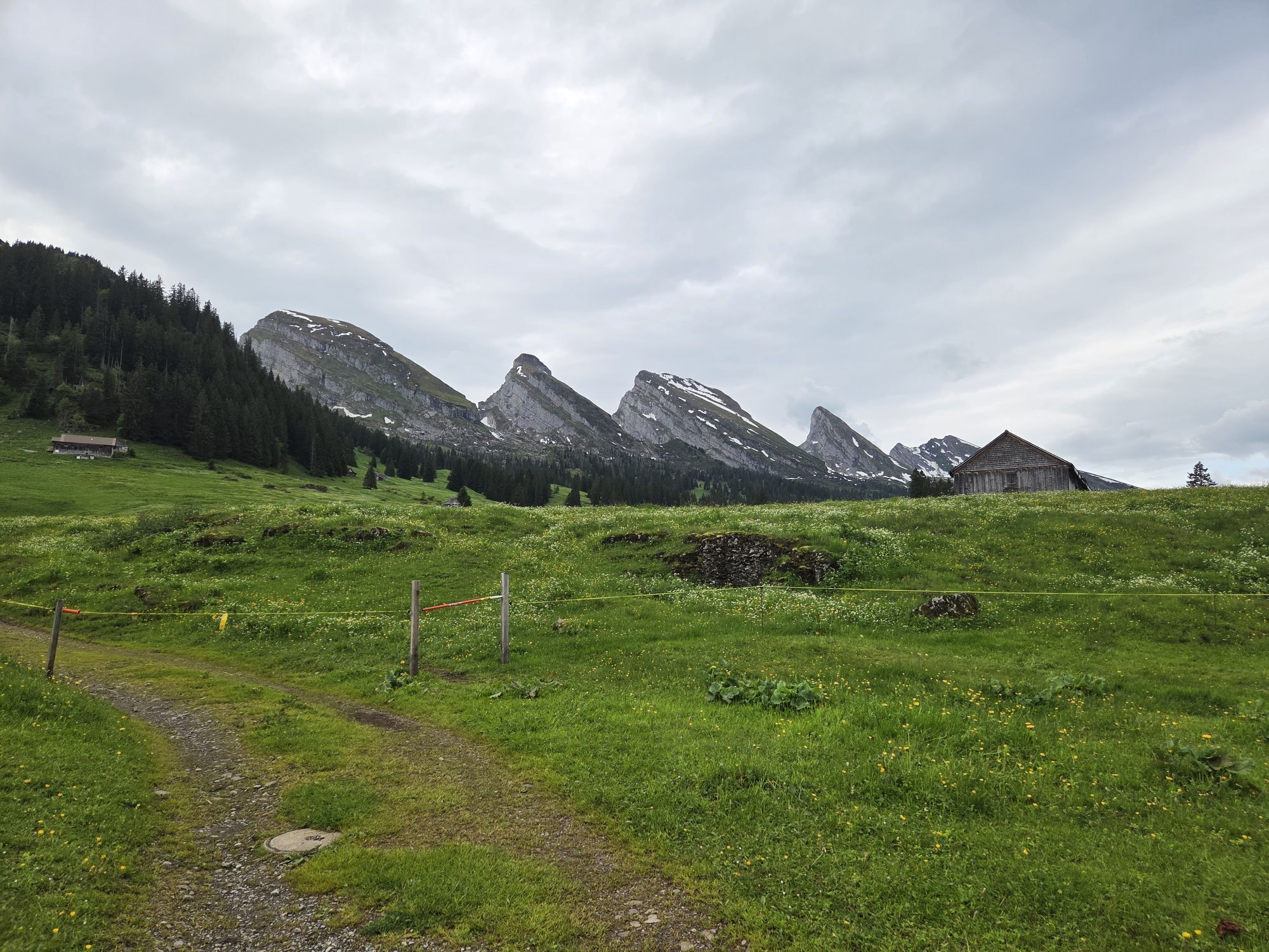
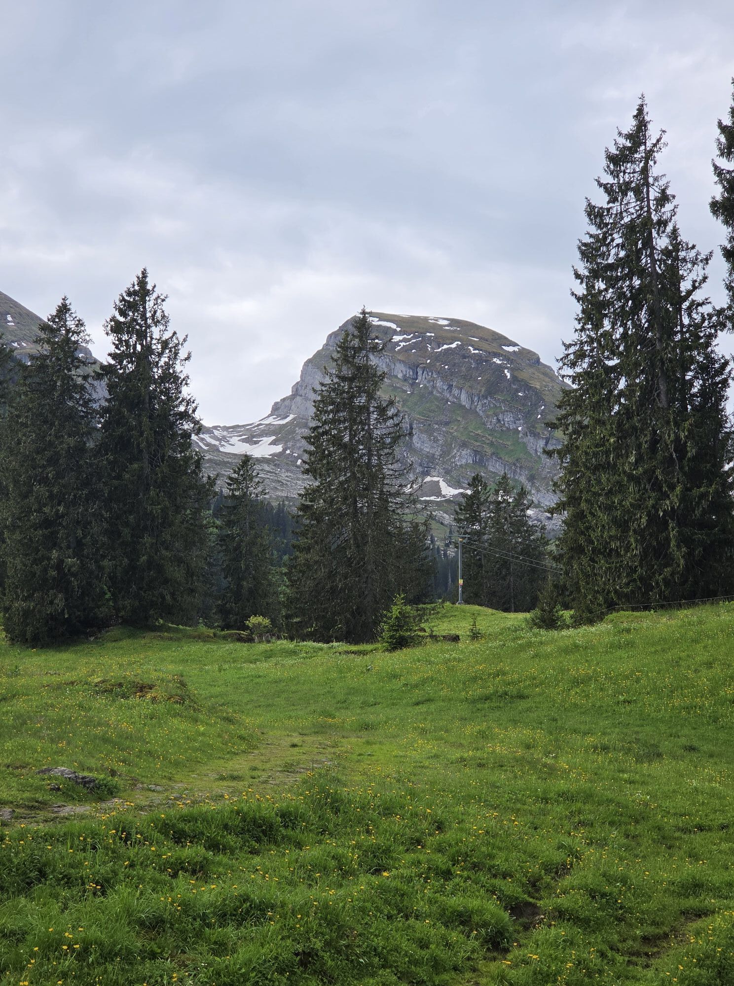
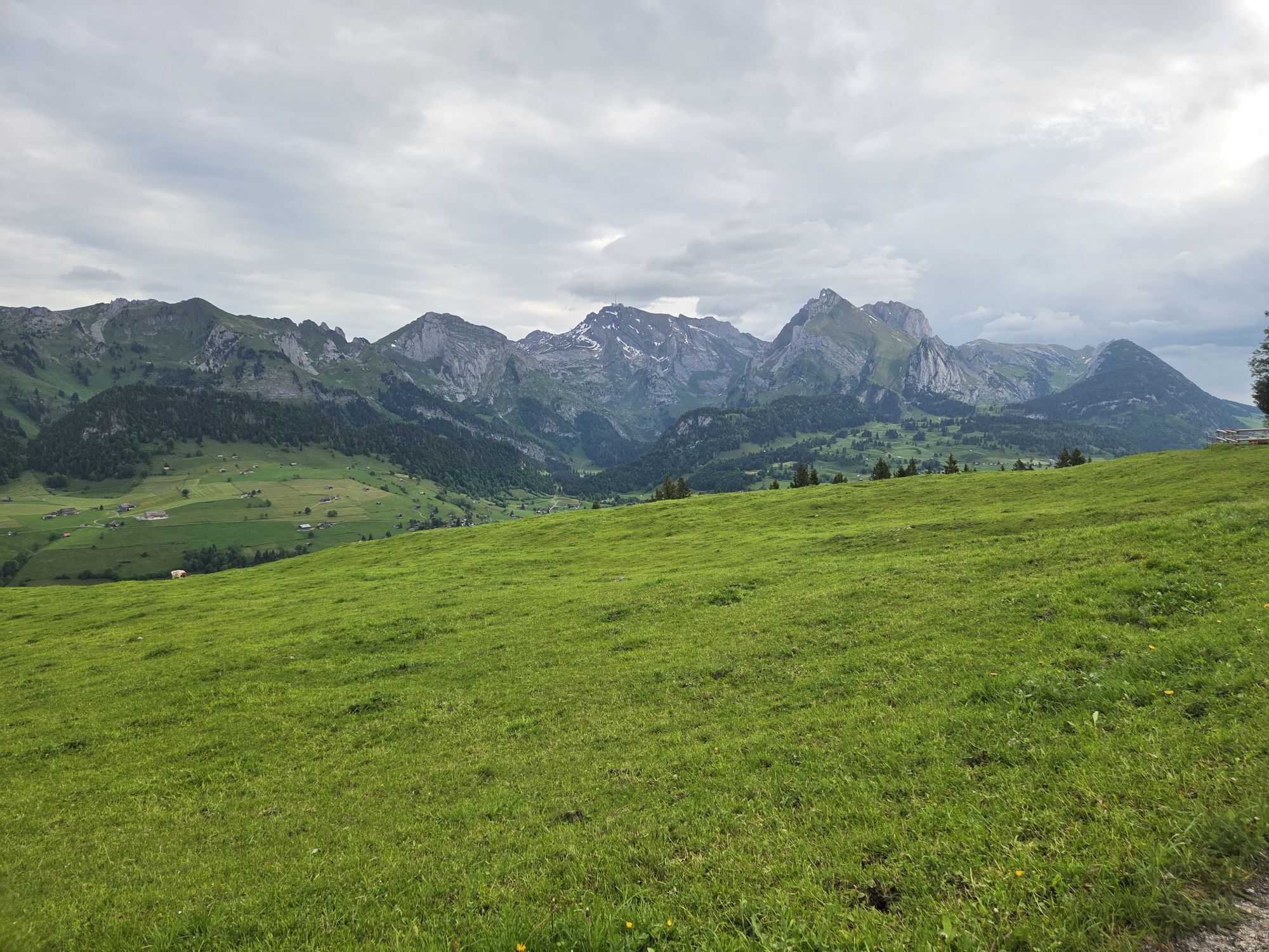
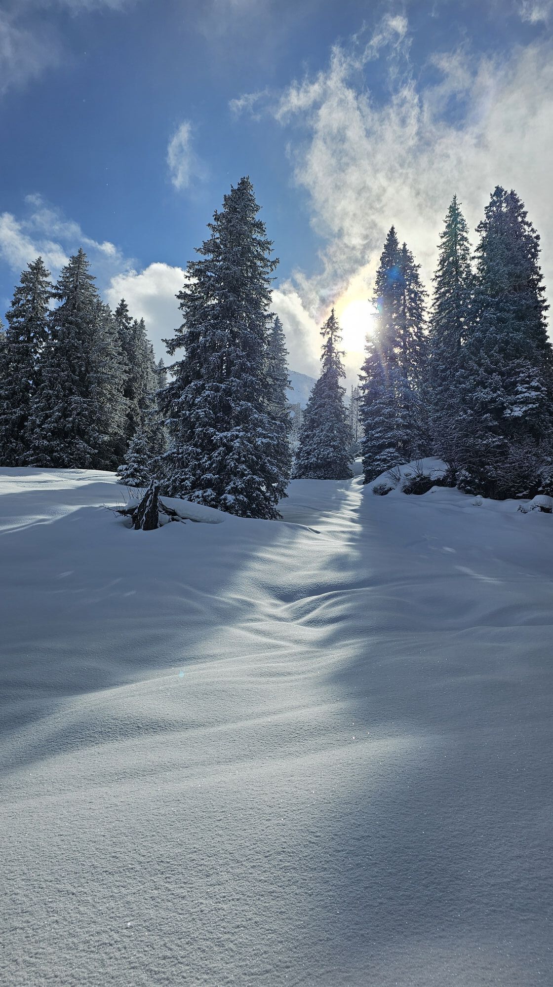
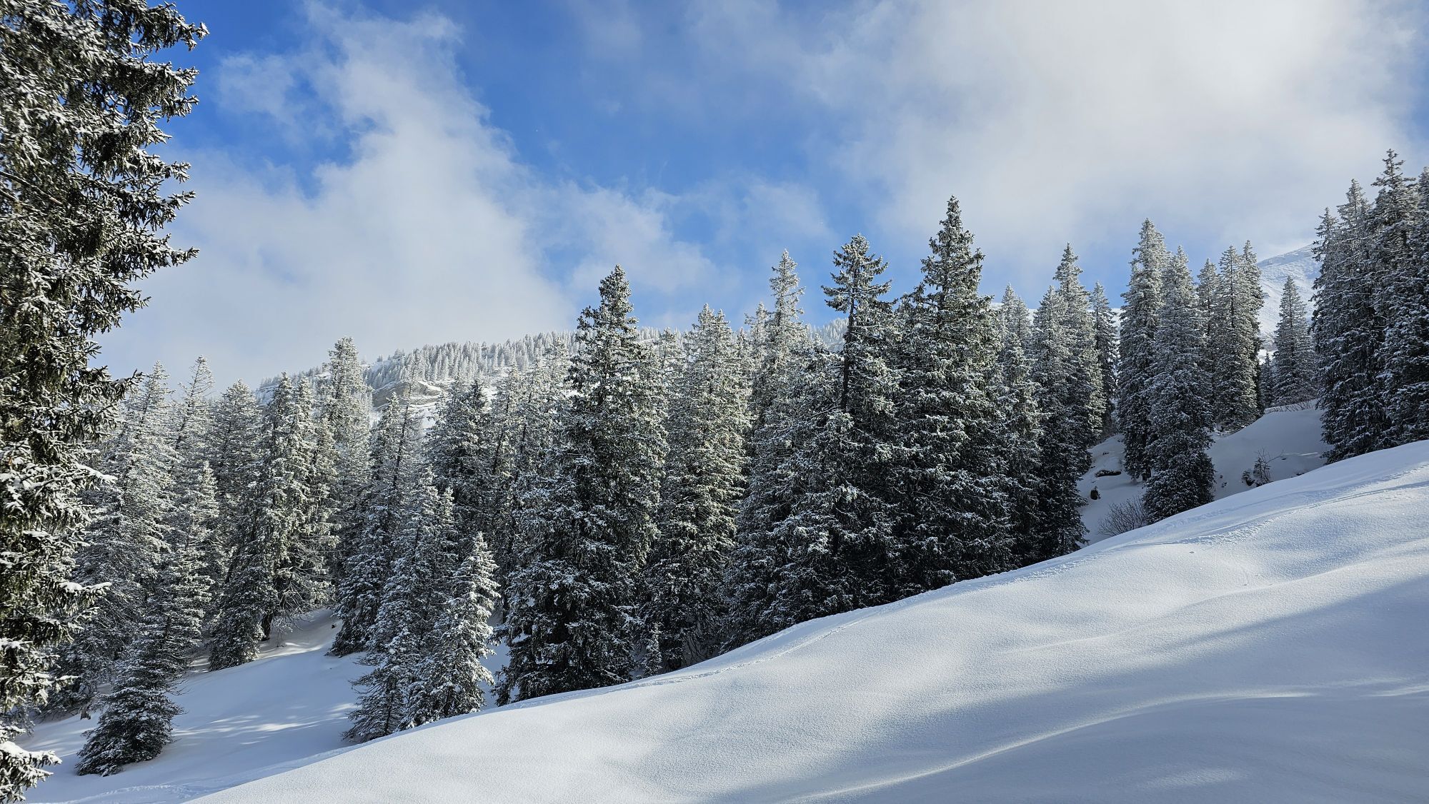
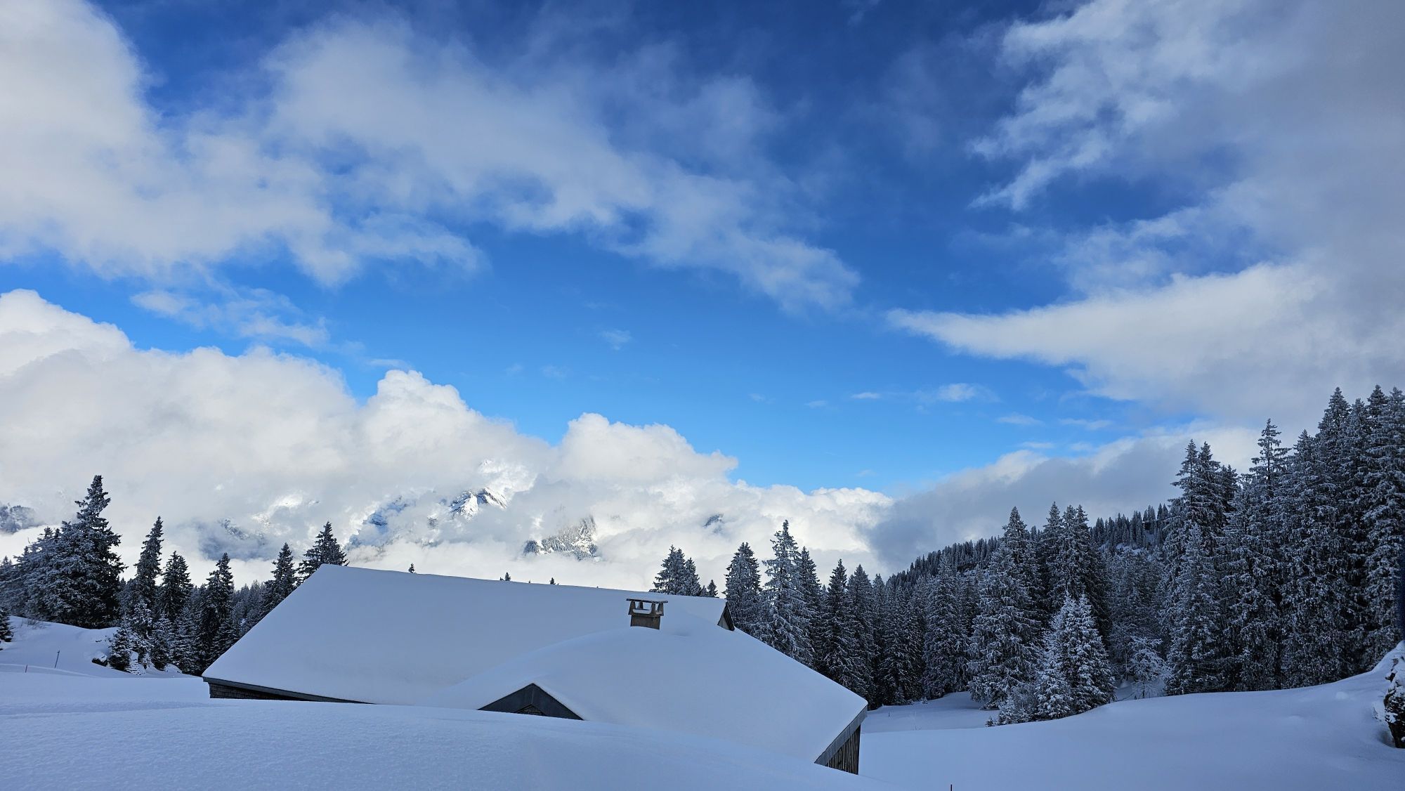
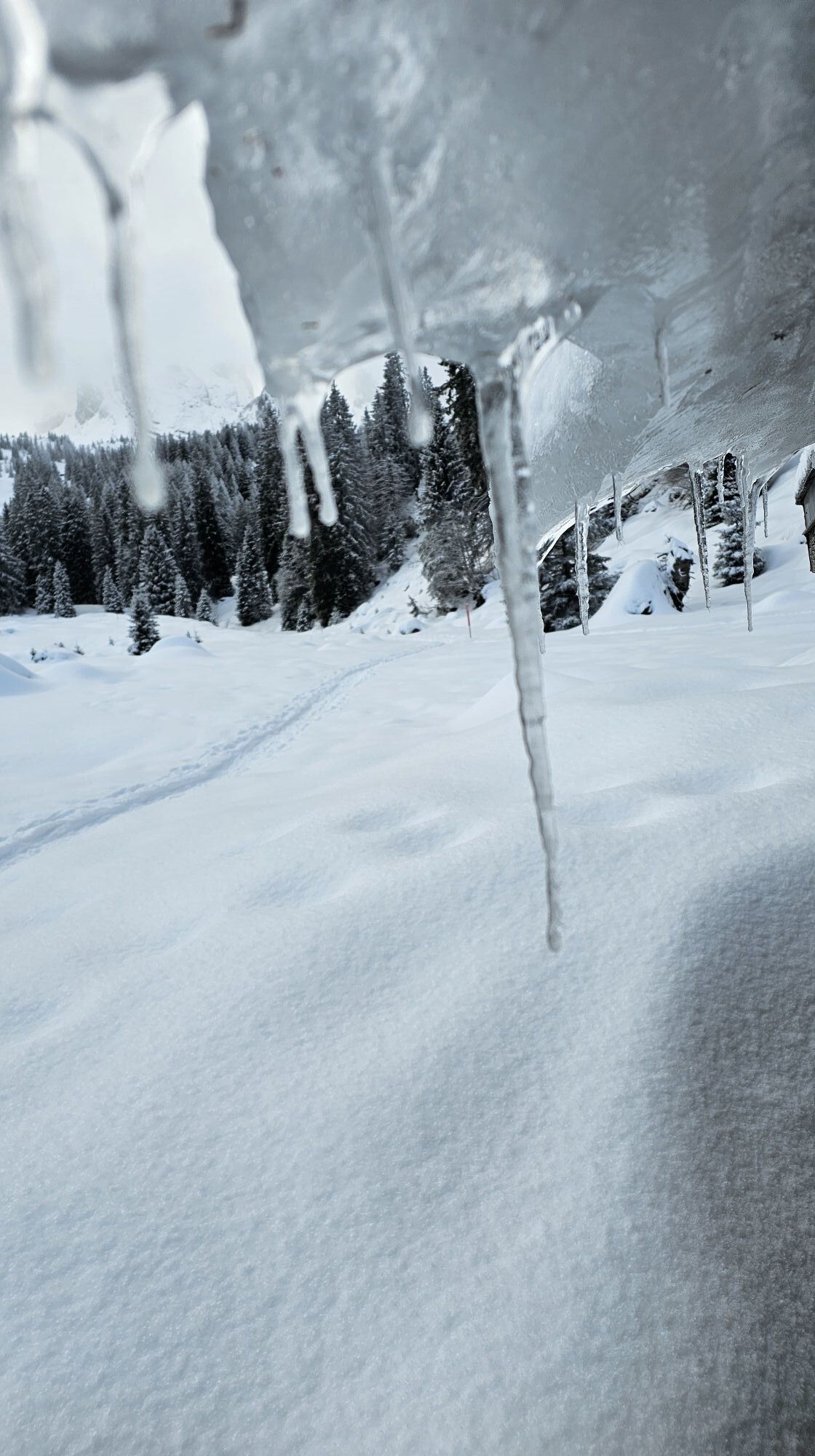
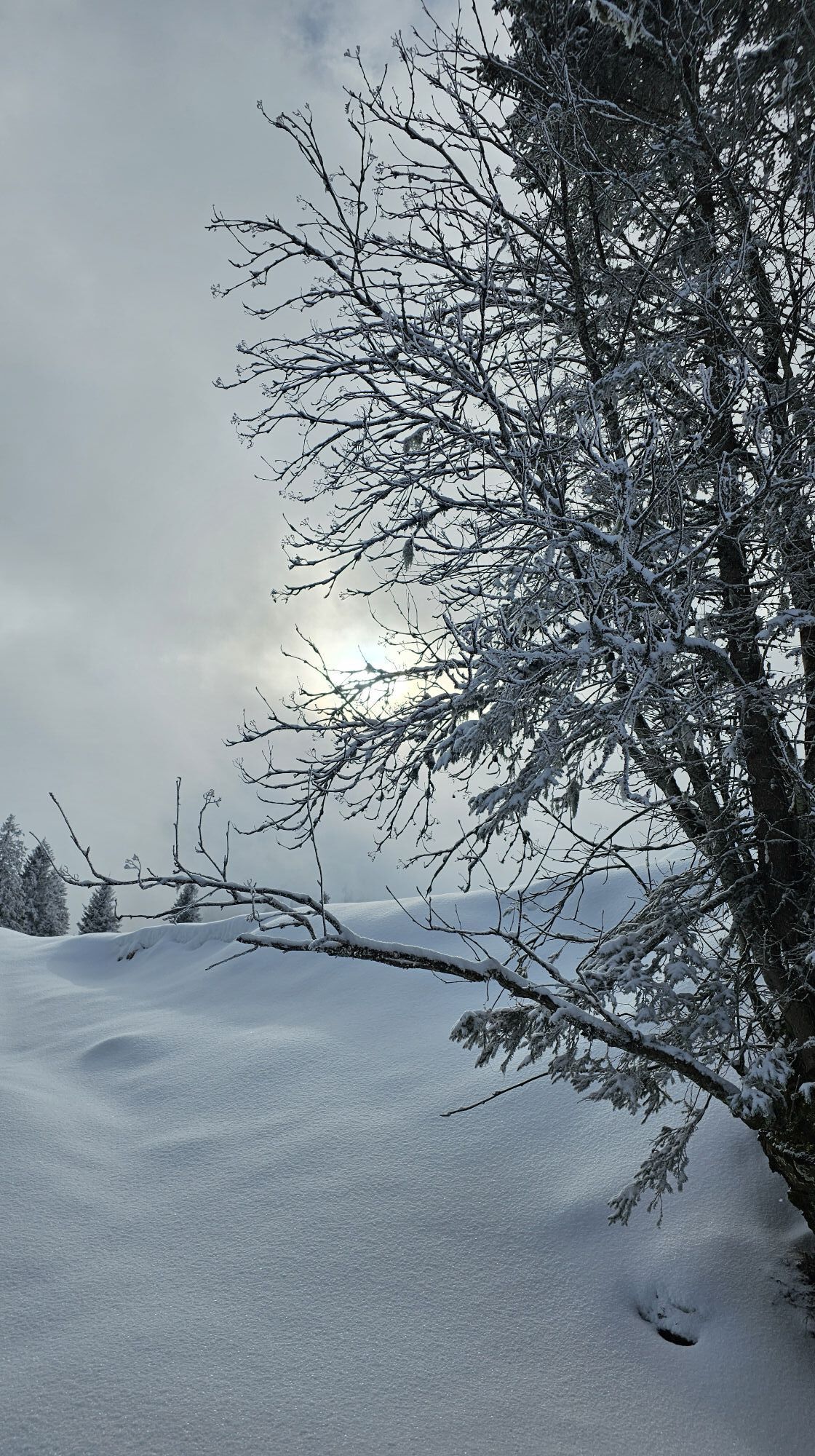
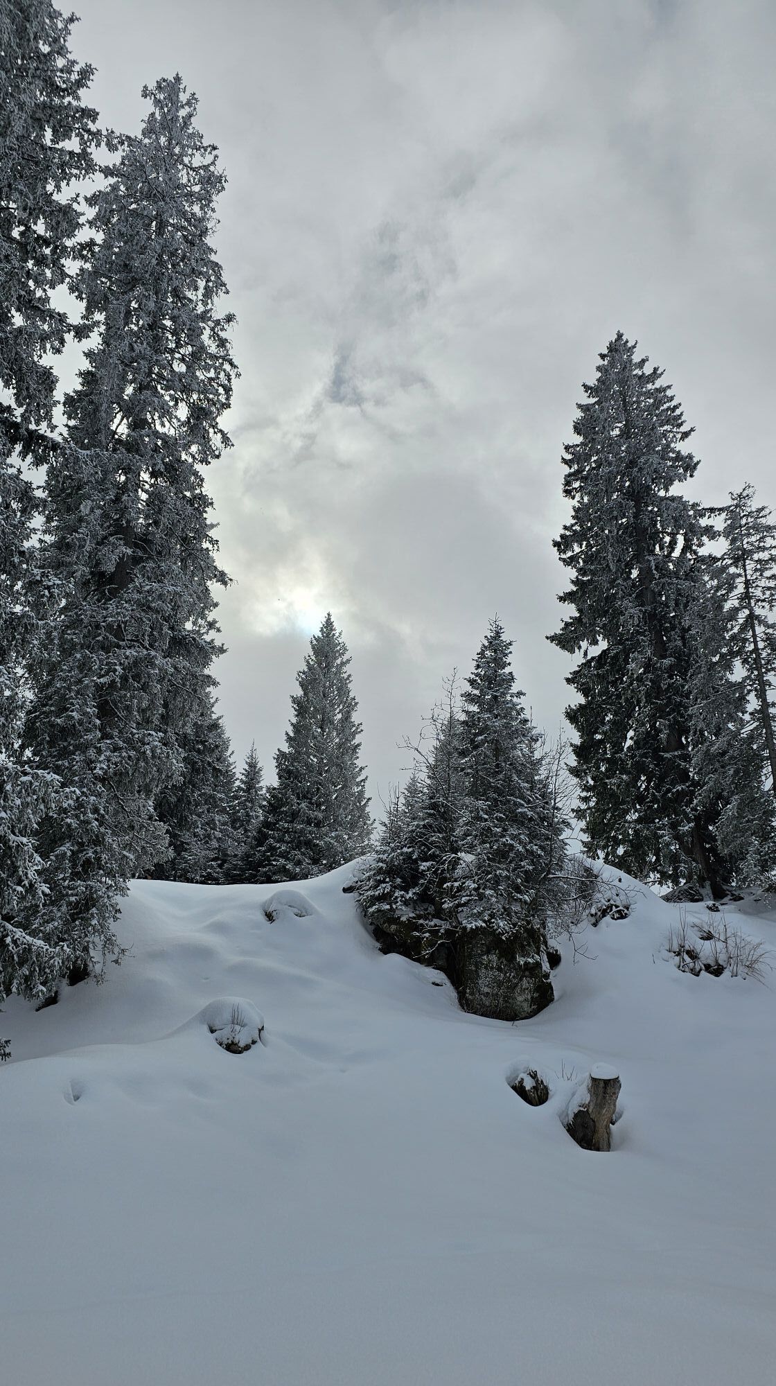
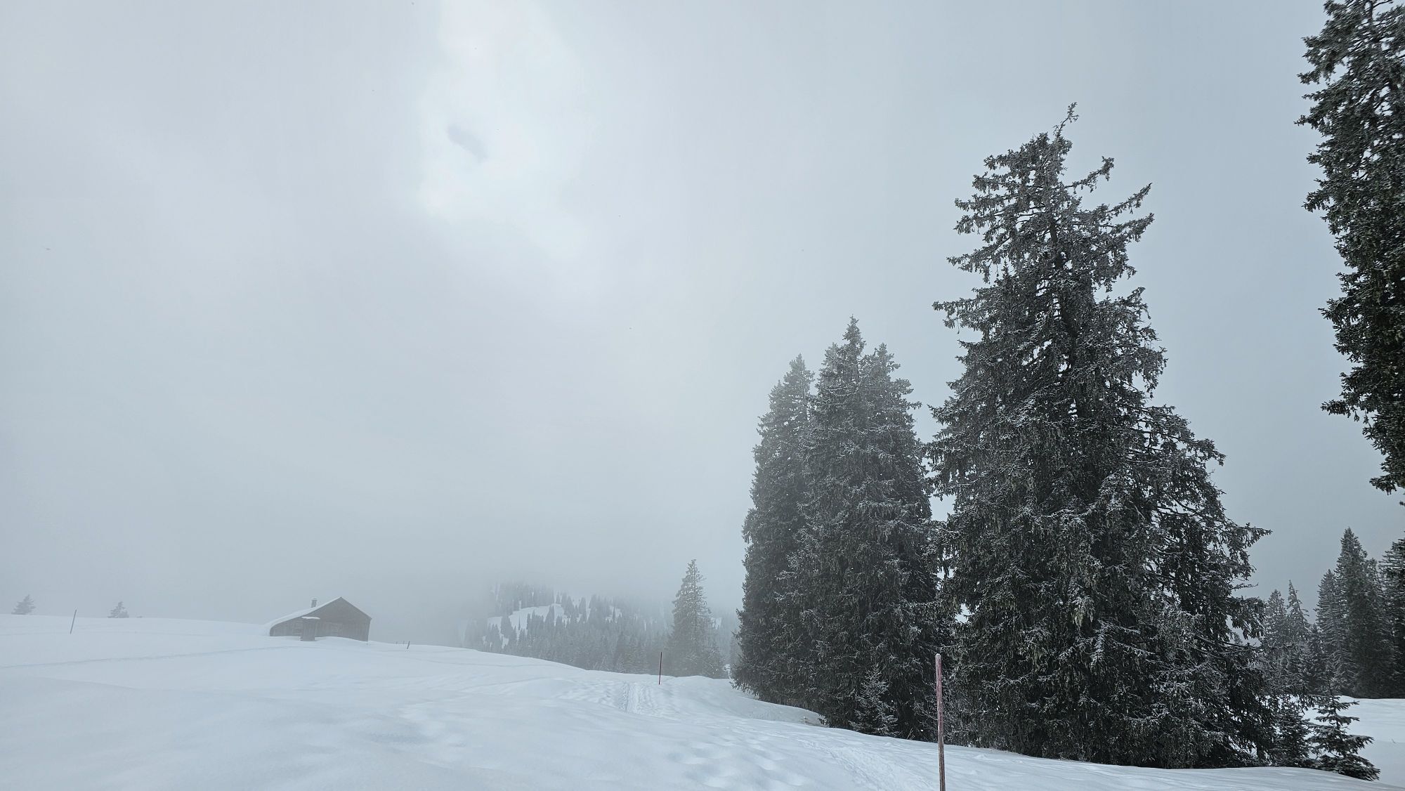
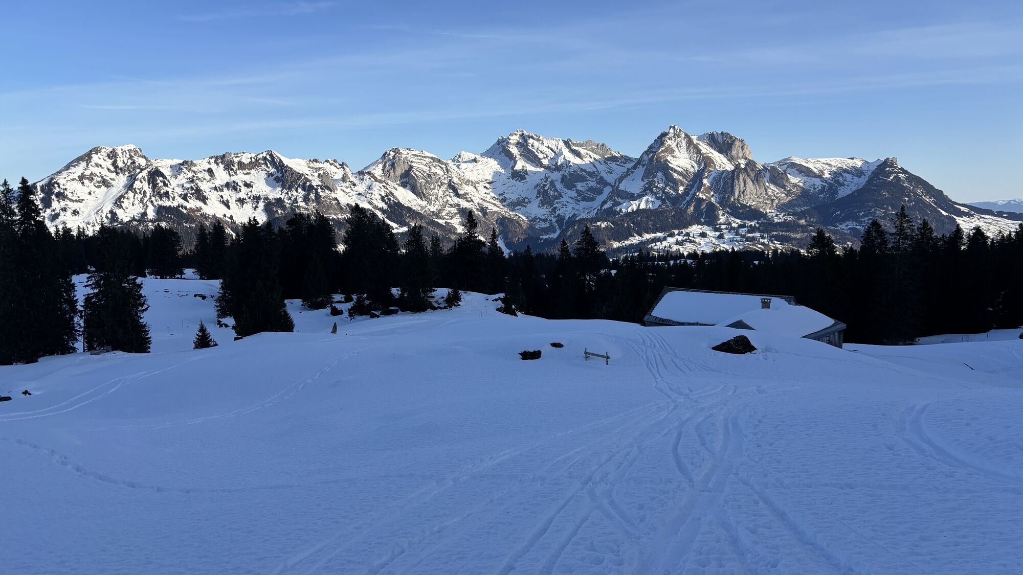
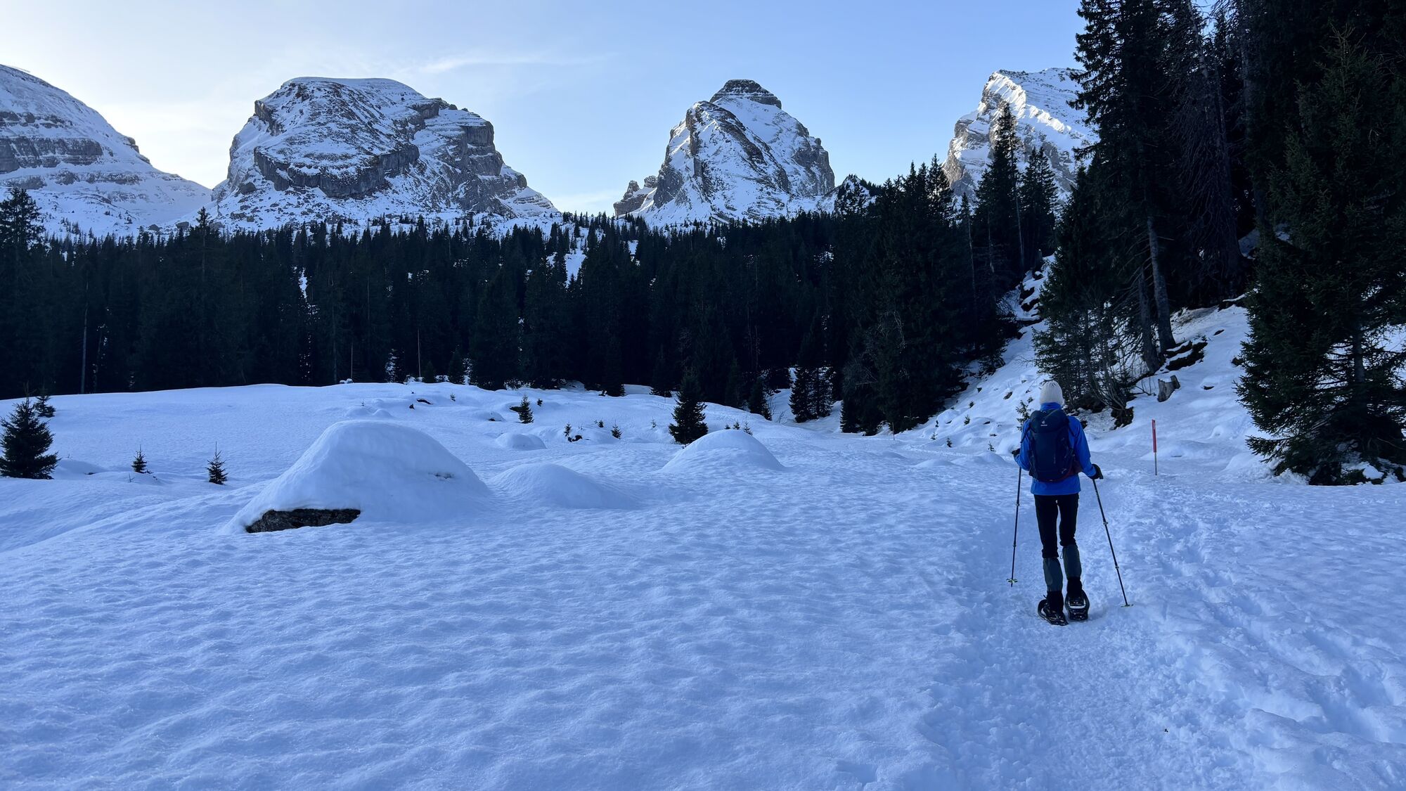
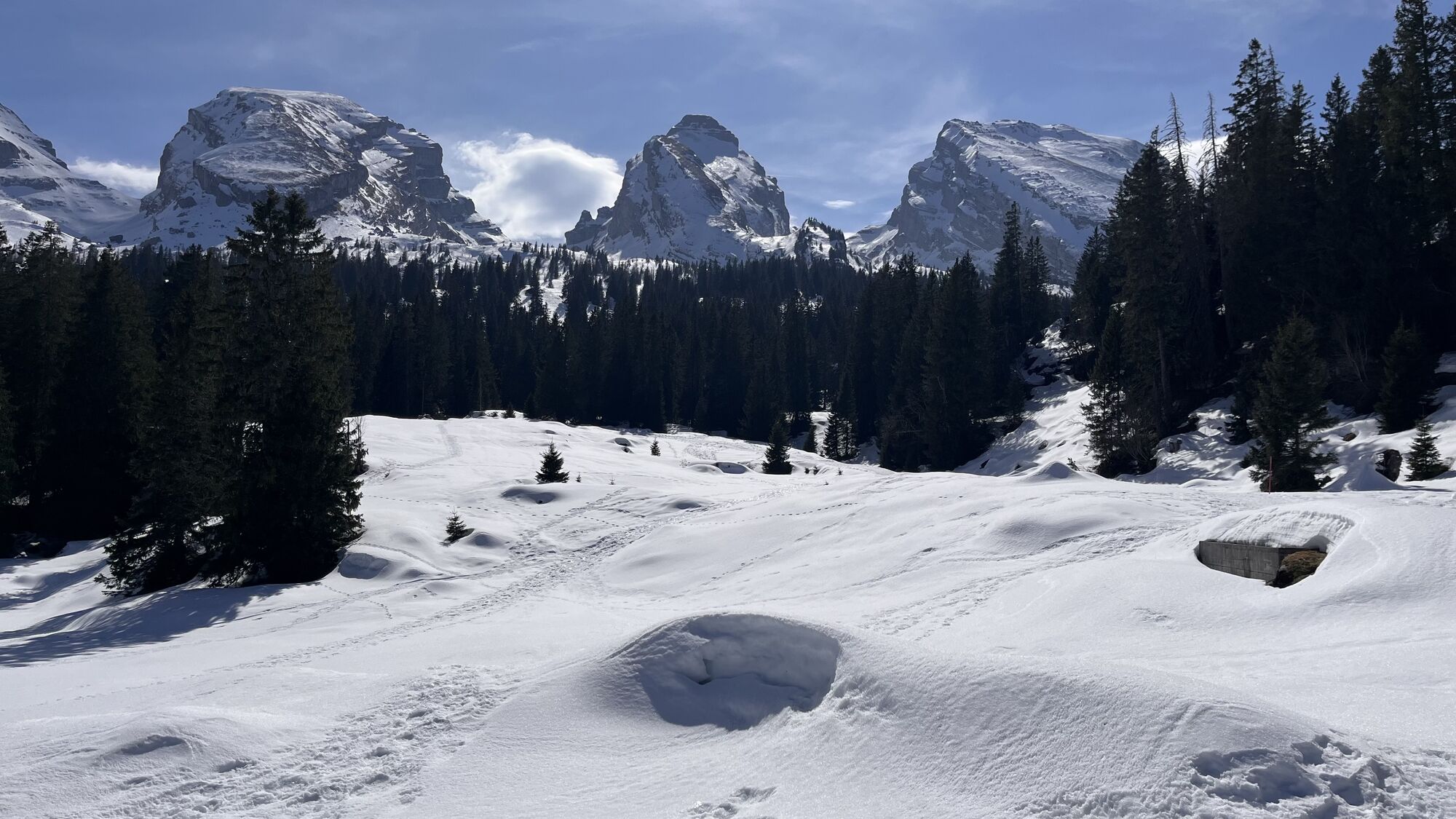
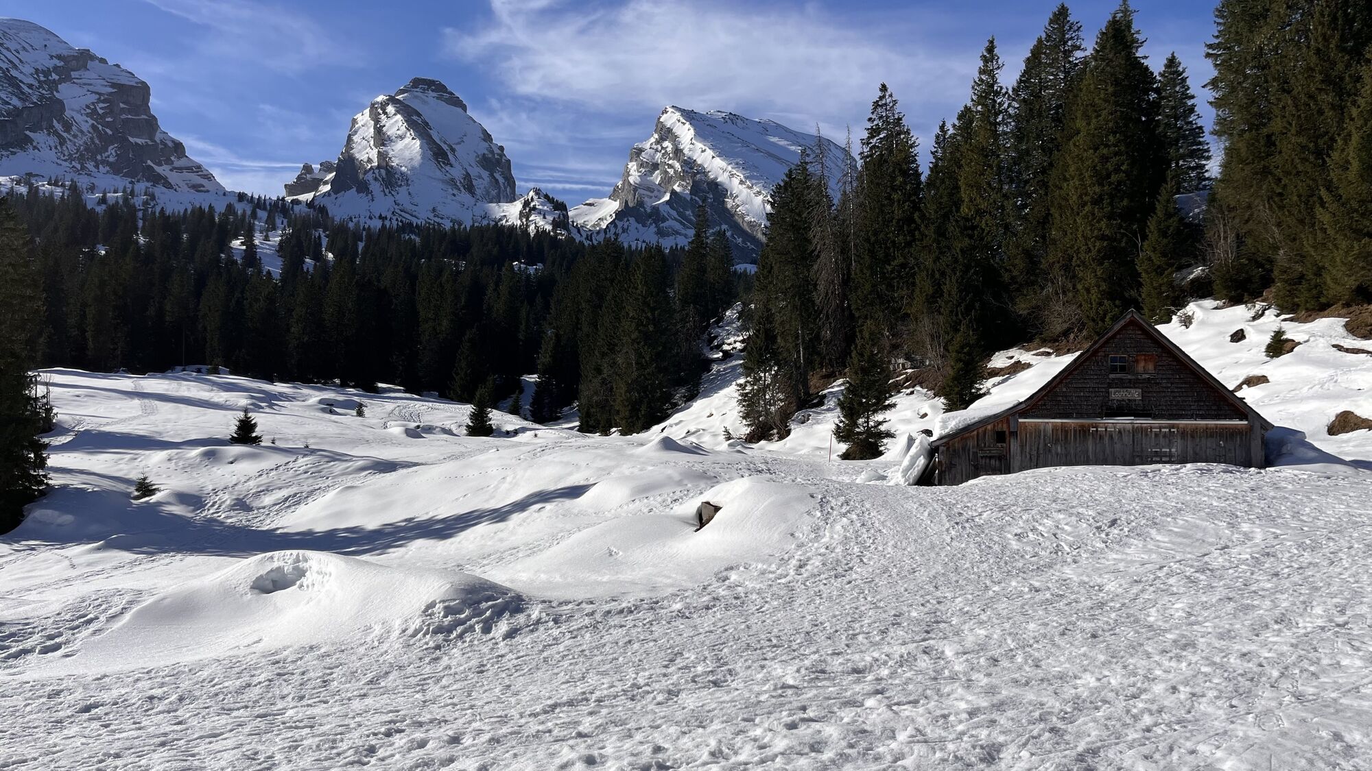
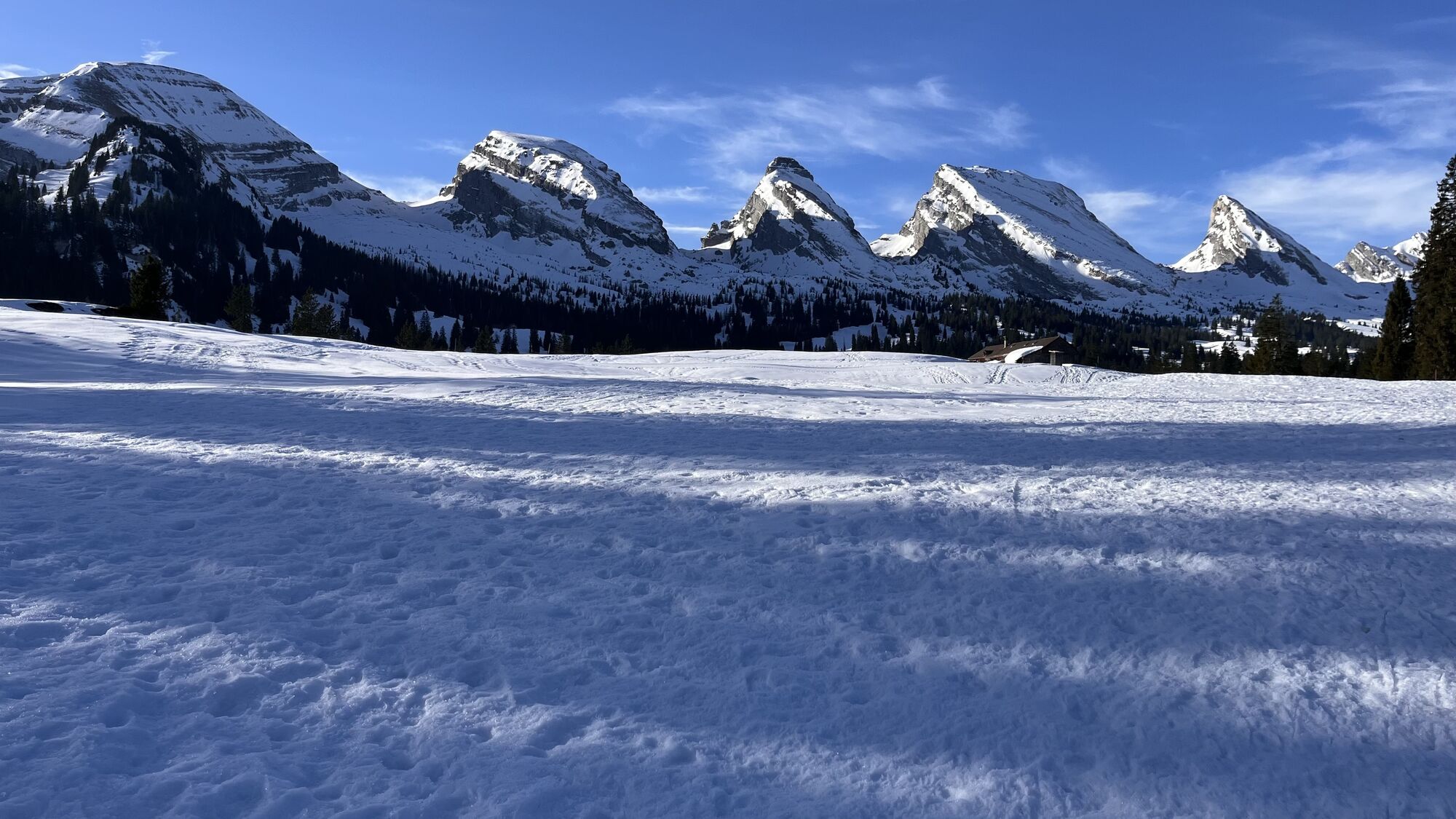

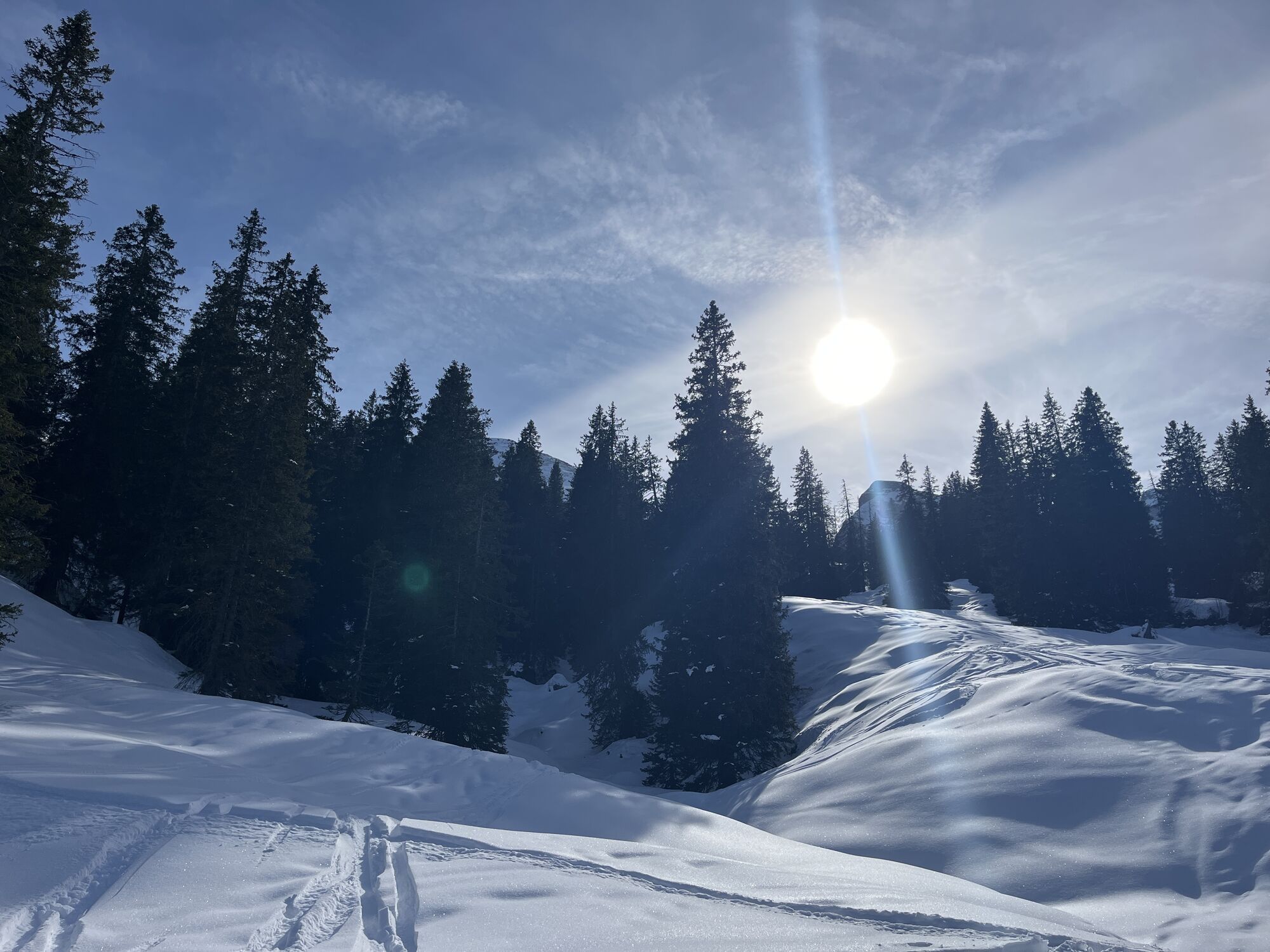
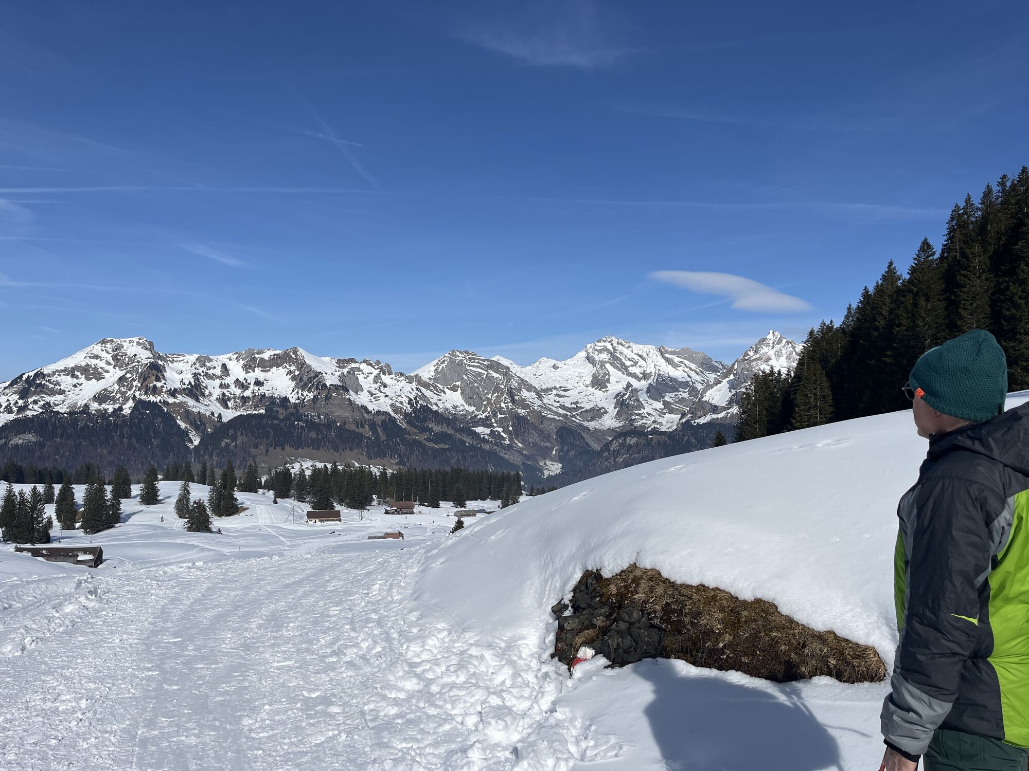
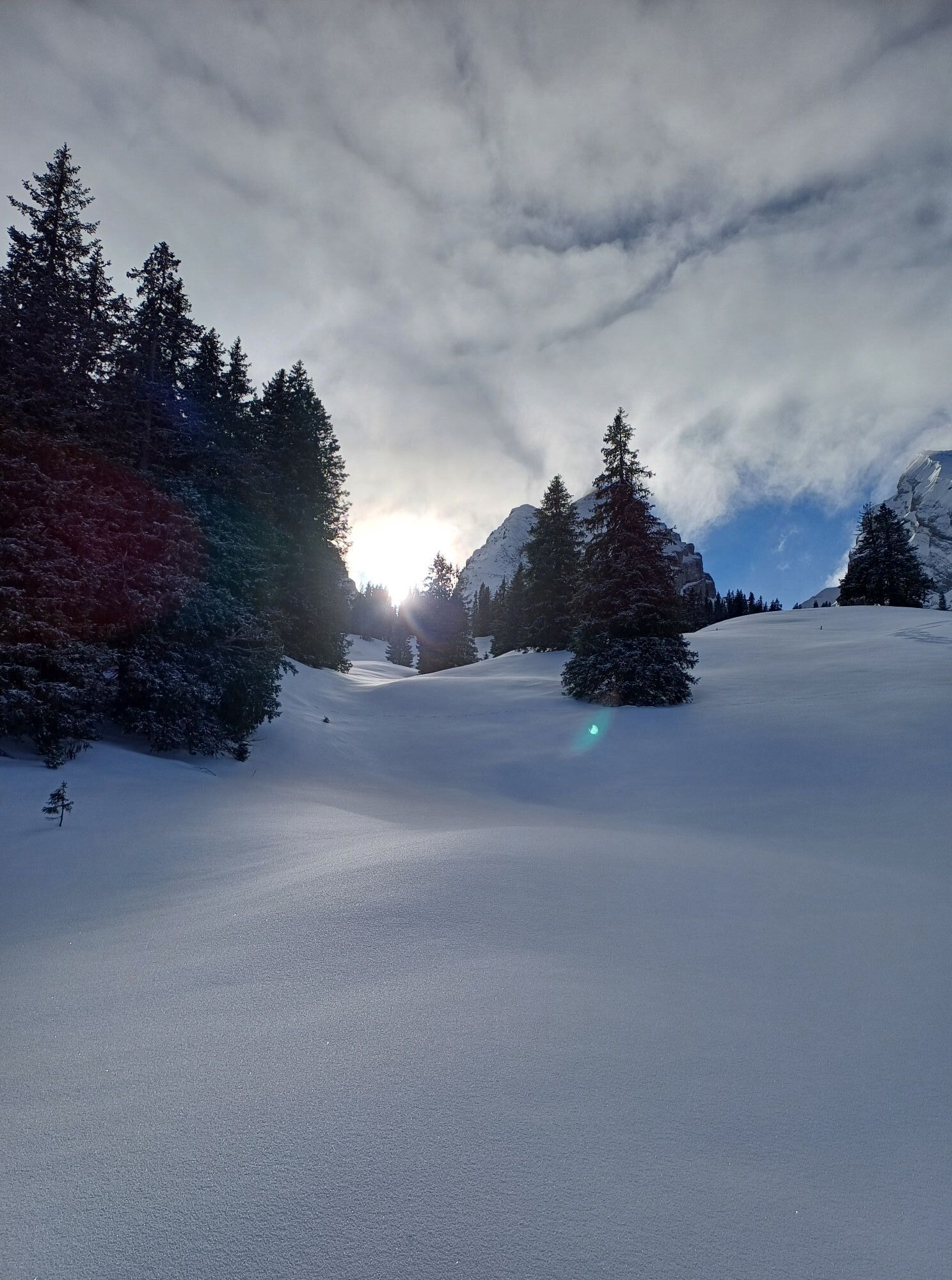
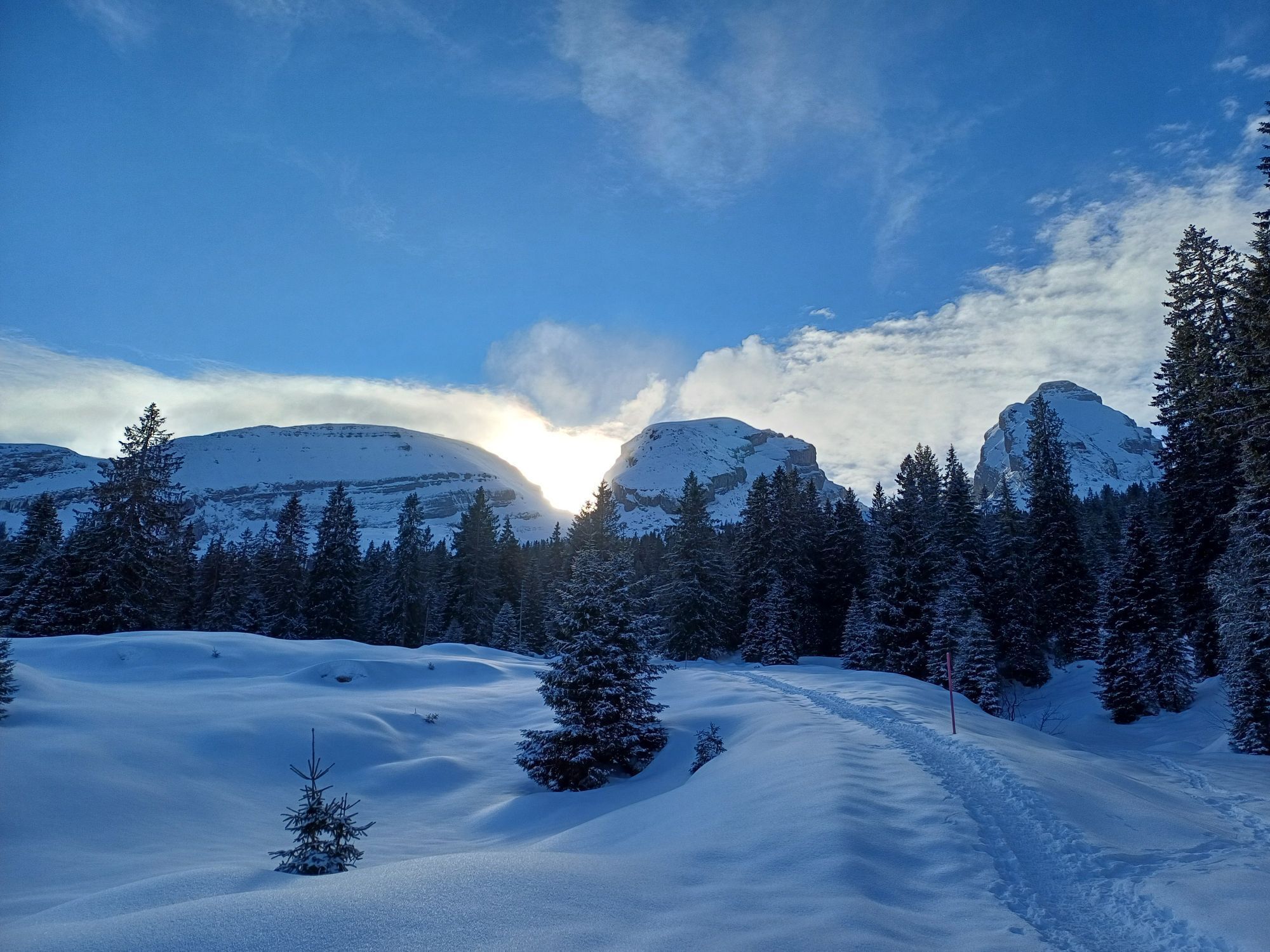
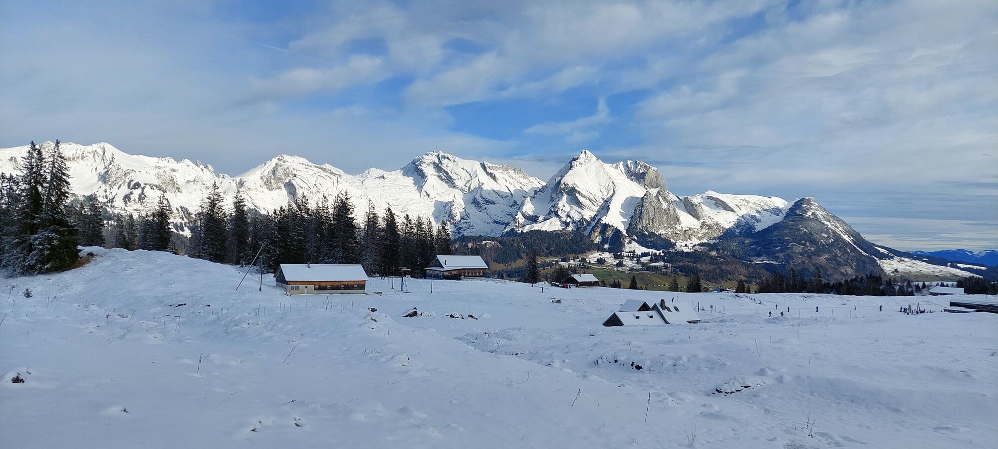
Mountain trolls, giants, wild men and dragons - immerse yourself in the thrilling and spooky Toggenburg legends.
During the approximately five-hour hike with a constant view of the spectacular Churfirsten...
Mountain trolls, giants, wild men and dragons - immerse yourself in the thrilling and spooky Toggenburg legends.
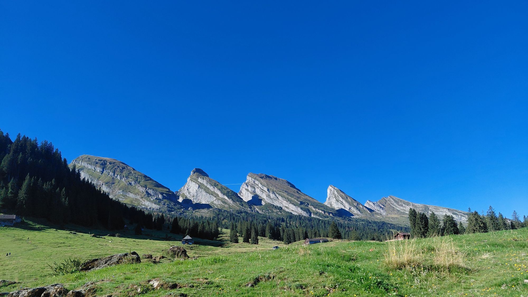
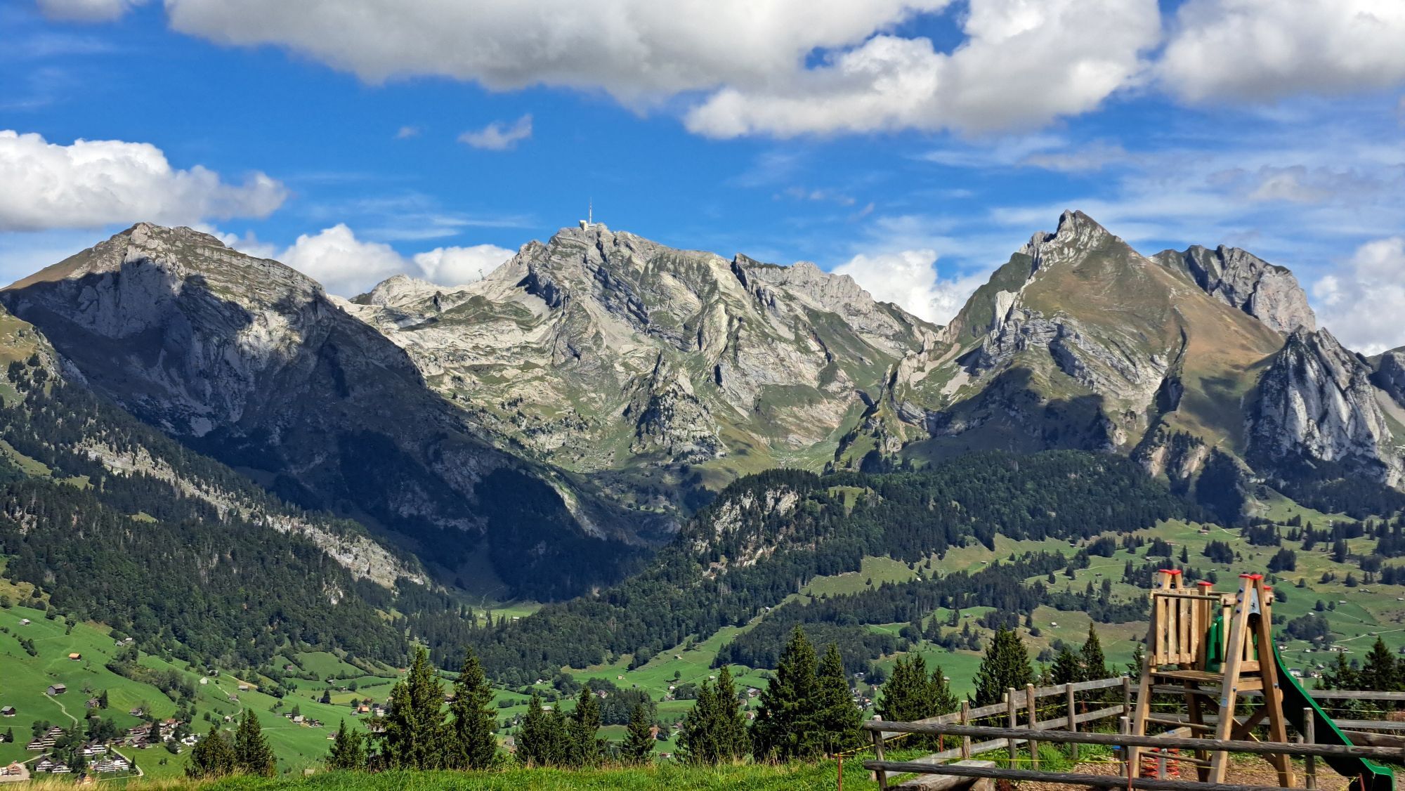
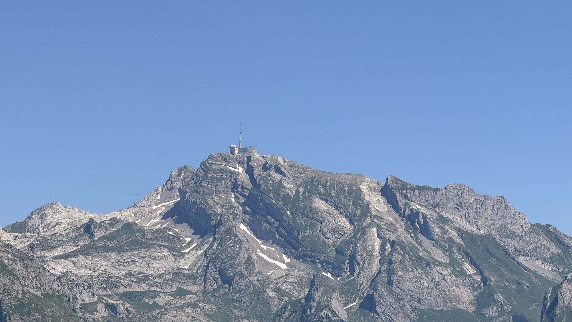
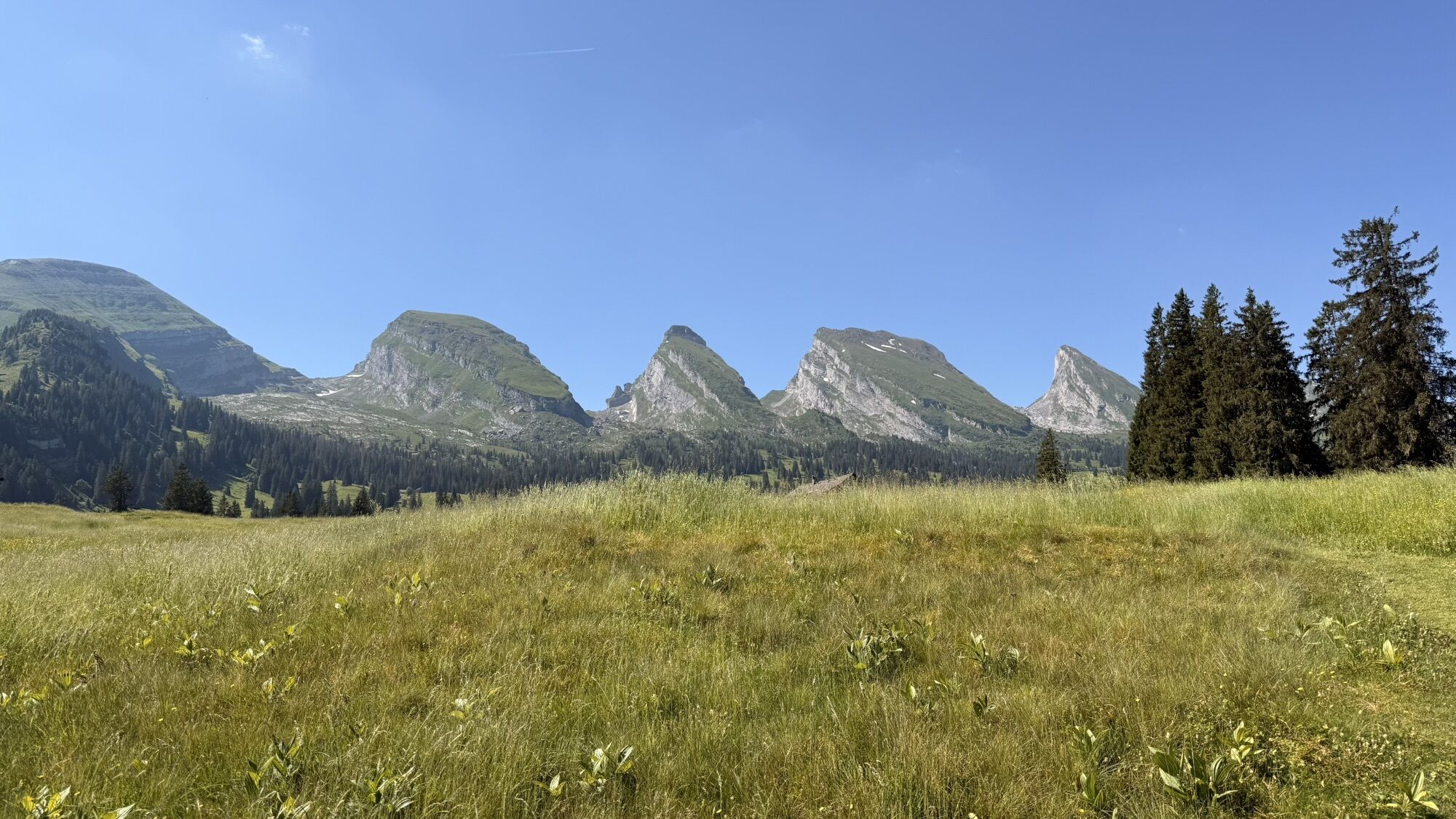
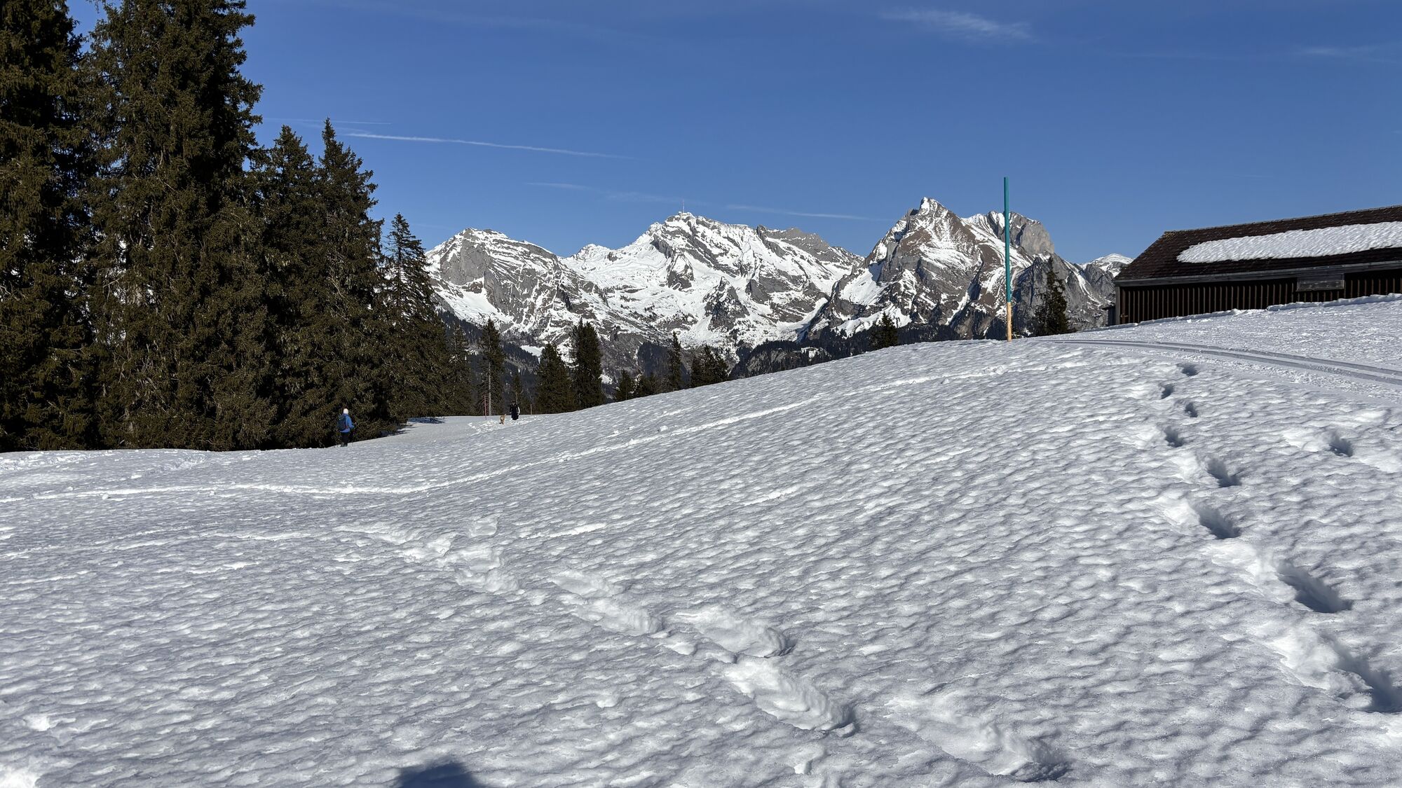
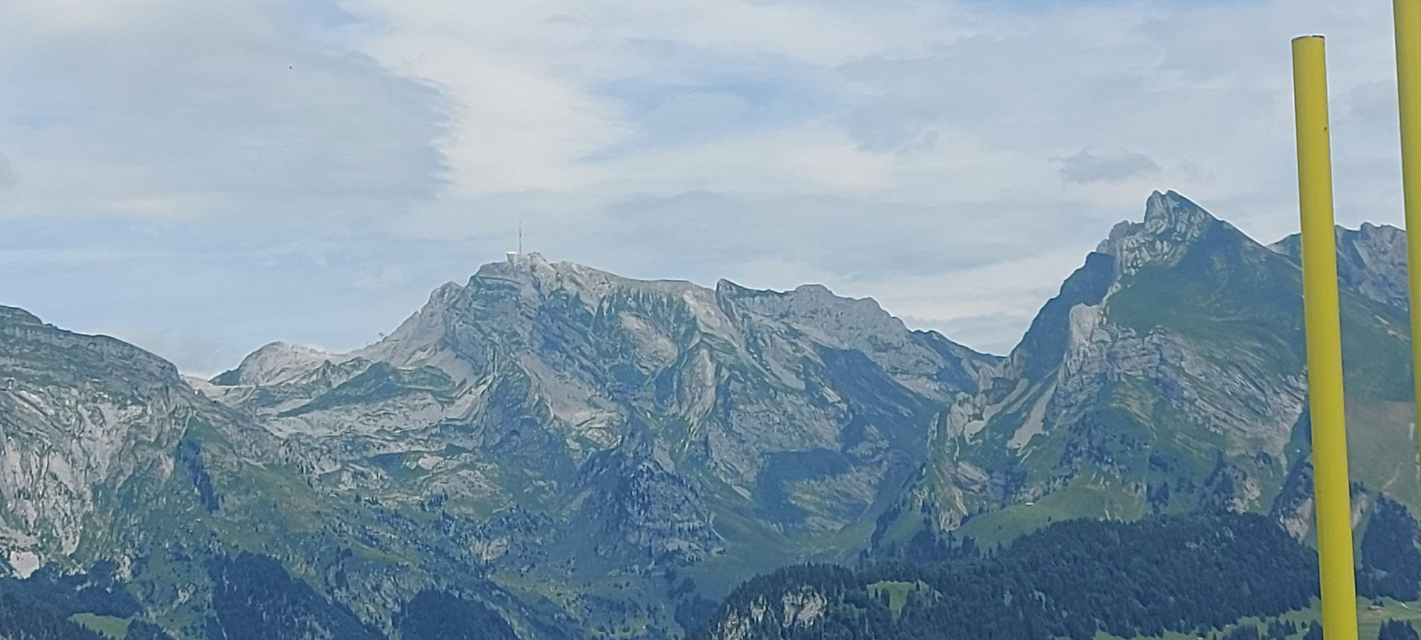
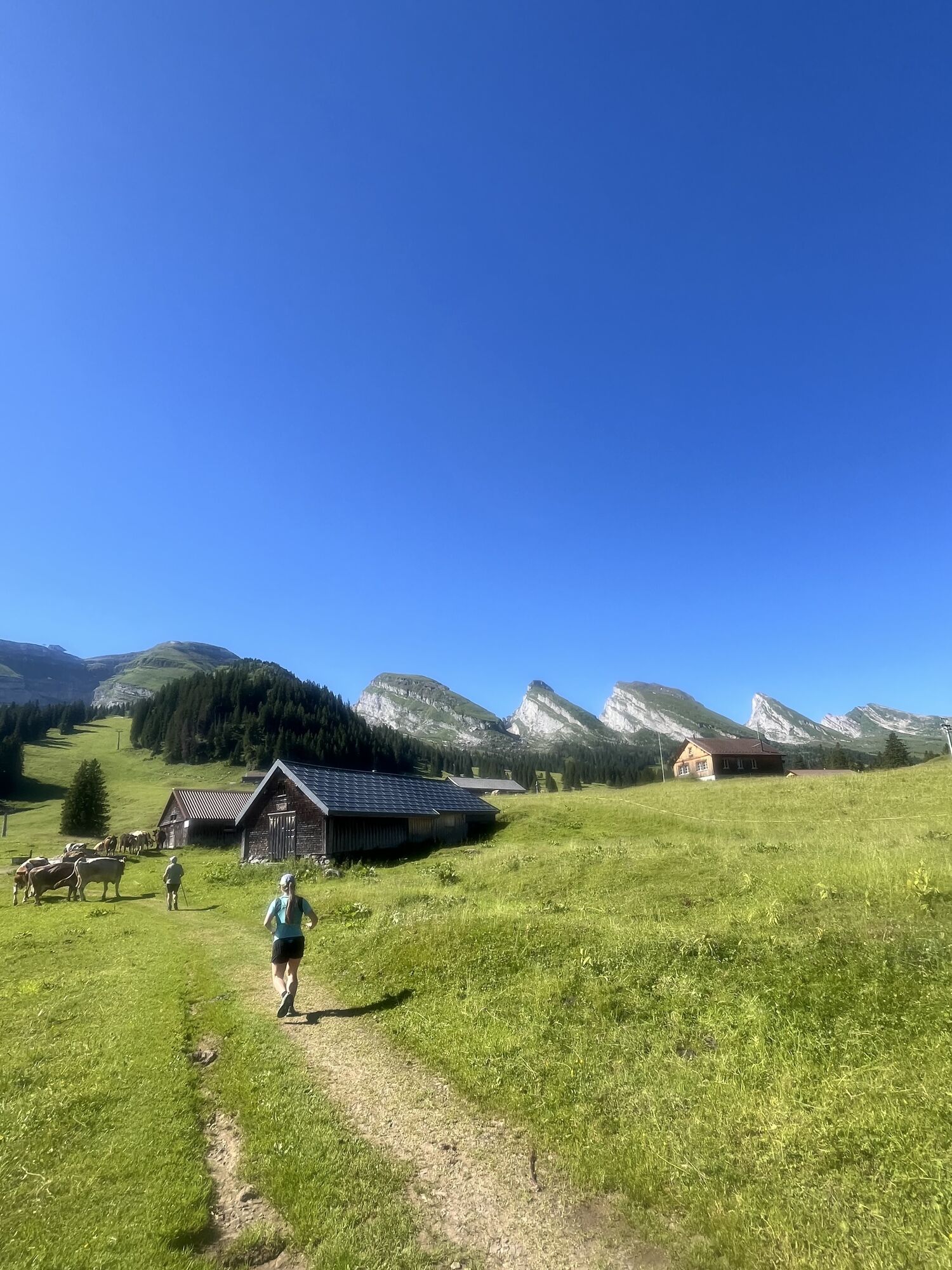
During the approximately five-hour hike with a constant view of the spectacular Churfirsten and Alpstein, you will find 12 boards with adventurous legends, mystical myths, and fantastic stories. Through the large illustrations, both adults and children dive into the world of the Toggenburg legends and the stories seem to come true.
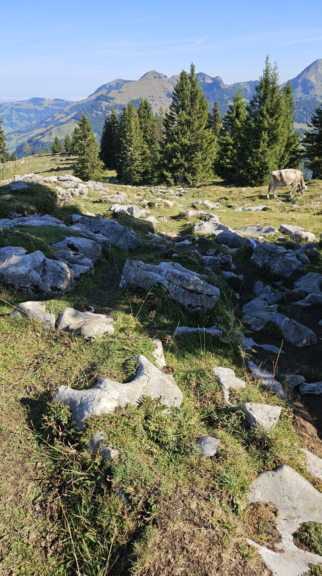
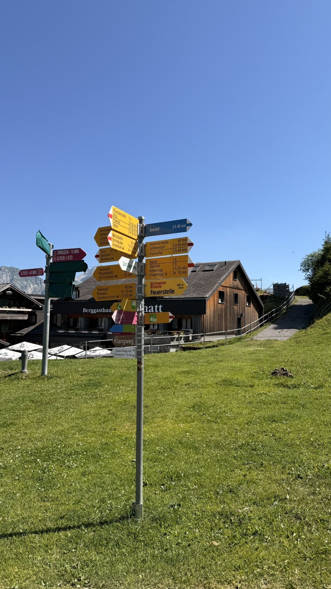
The Sellamatt mountain railway comfortably brings you to the starting point where the scenic circular hike can be started. The hiking trail leads through light forests, open alpine meadows, and hills to the Wildmannlisloch, a 150 m long cave, and then back along the foot of the Churfirsten to Alp Sellamatt again. The hike can also be shortened for small hikers, reducing the hiking time to three hours.
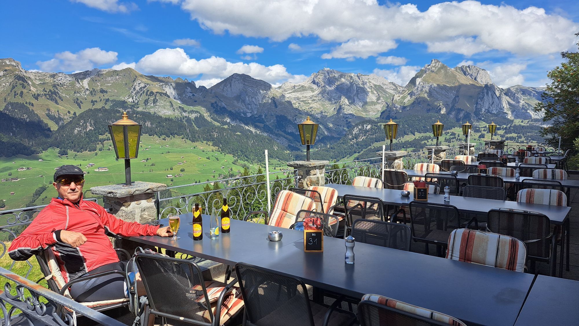
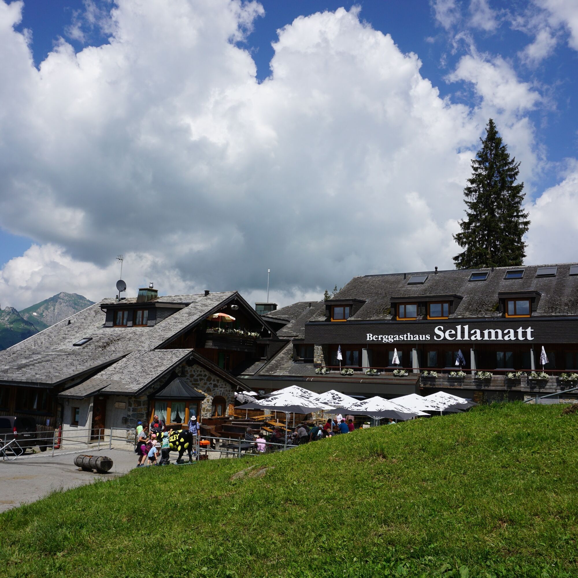
Along the way, the Wildmannli alpine inn provides refreshments, and at the end, a well-deserved meal awaits you at the Sellamatt mountain guesthouse.
Information about the opening hours of the mountain railway can be found here.

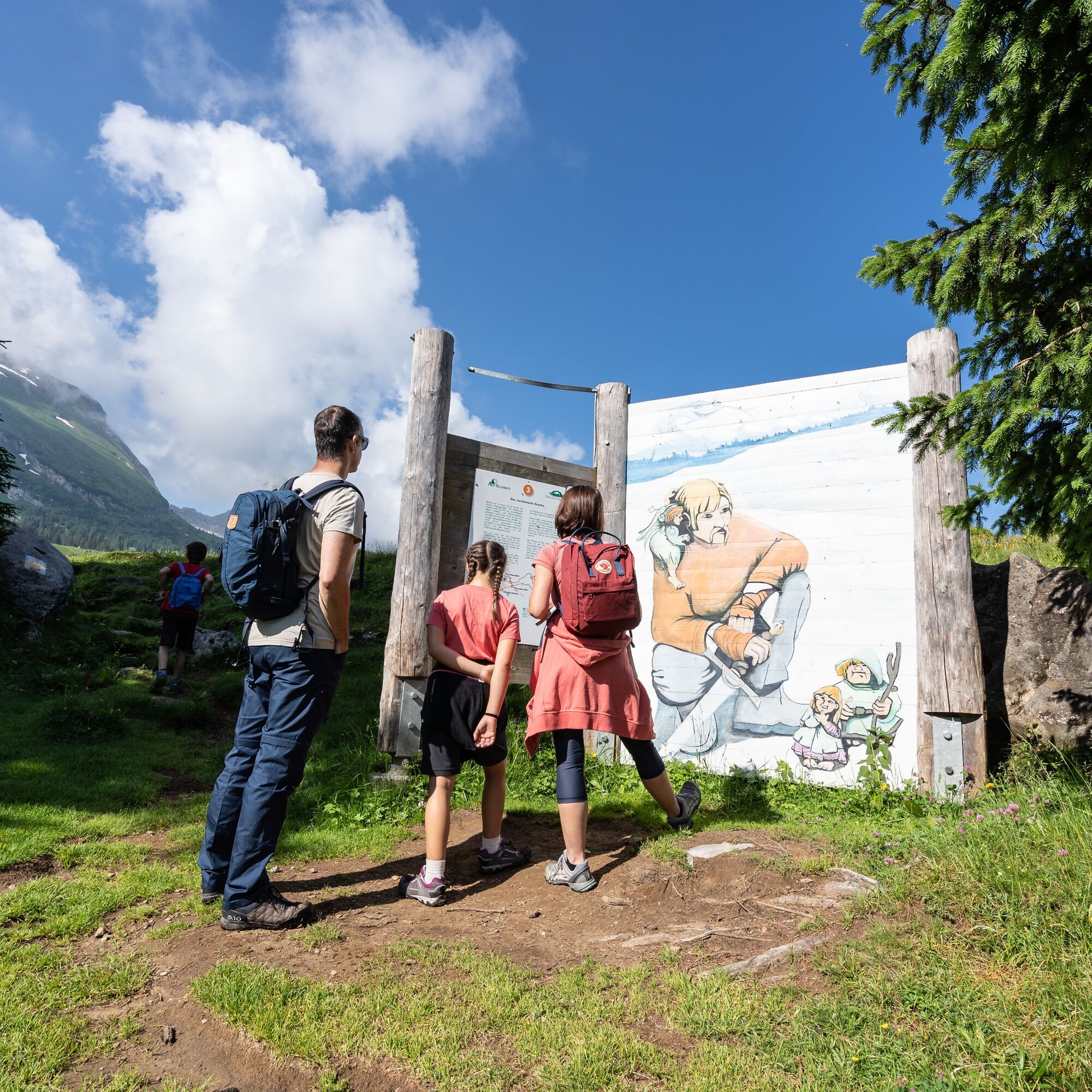
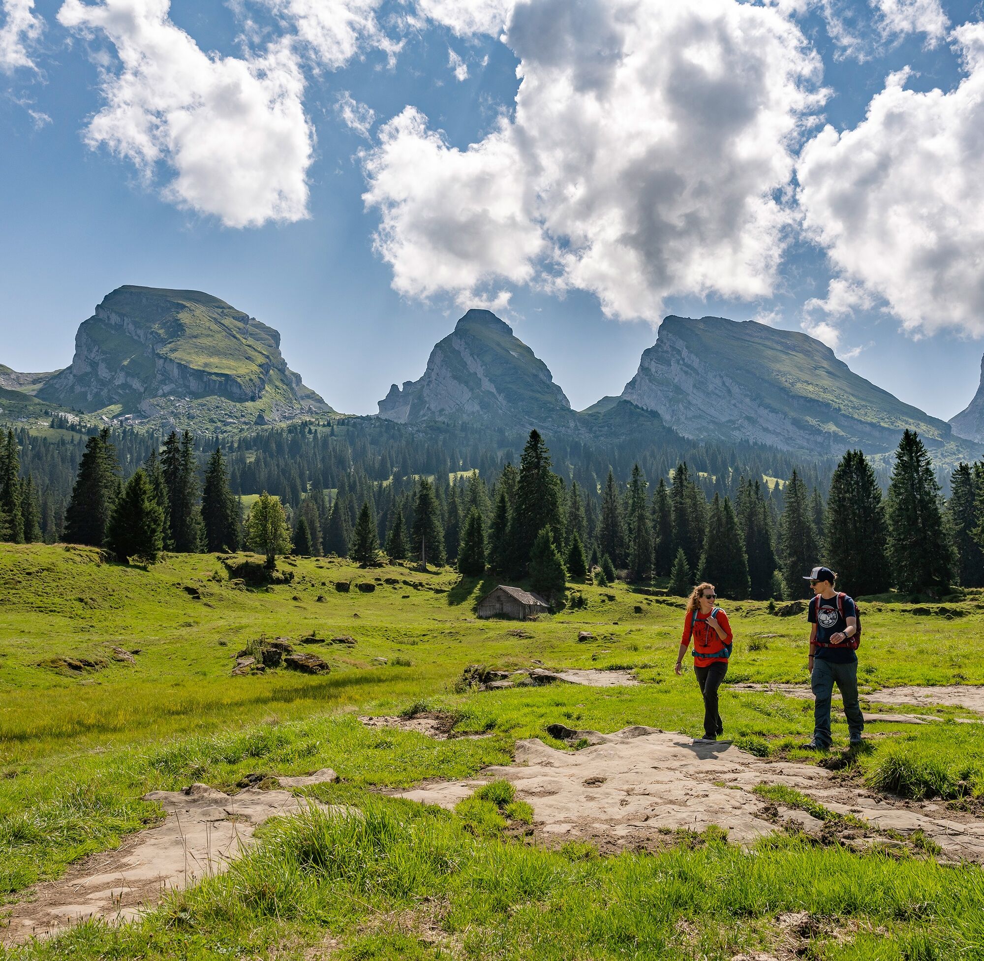
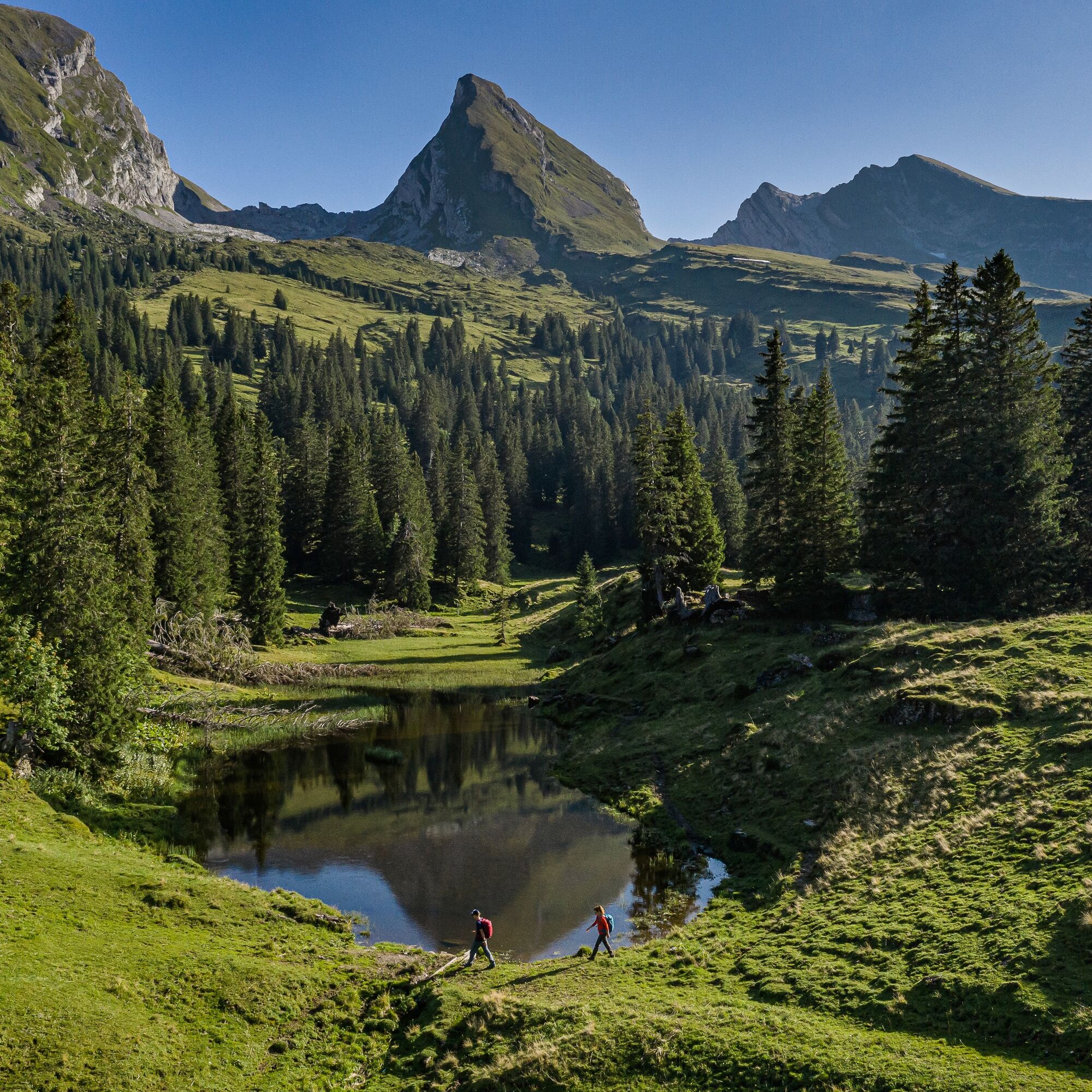
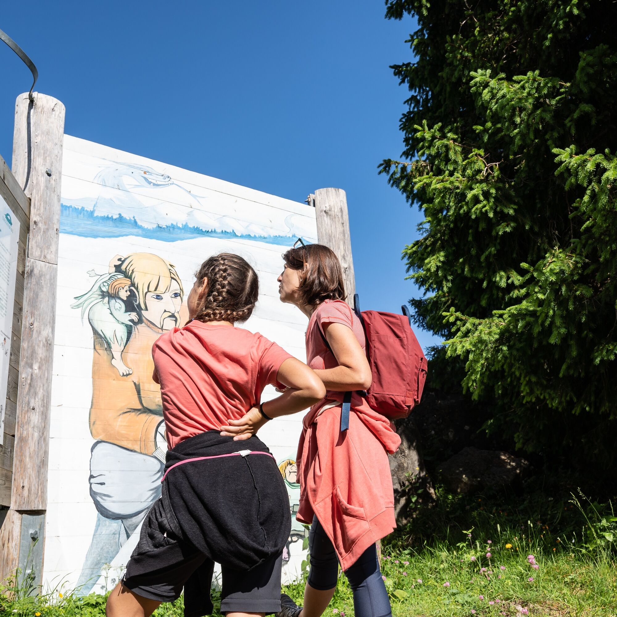
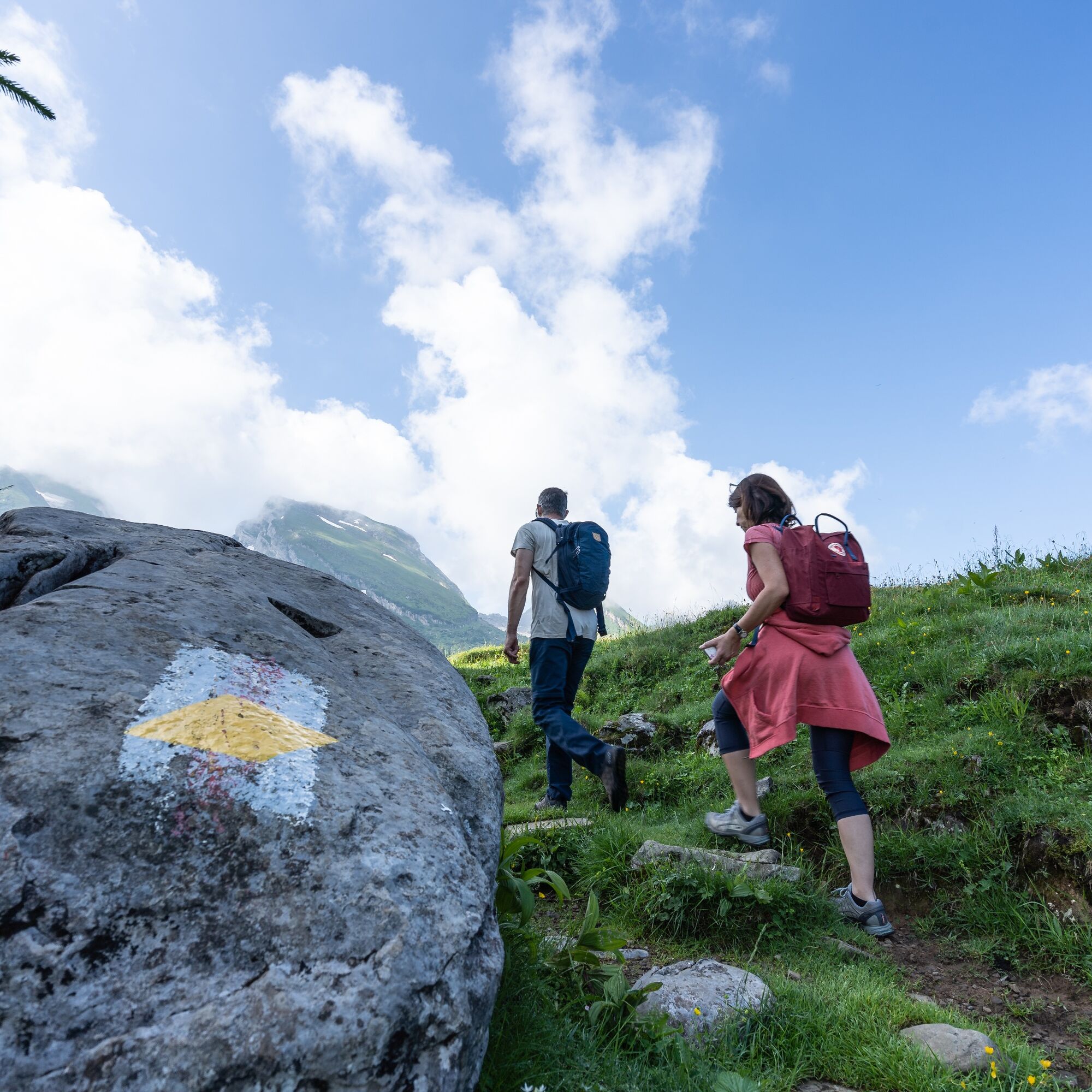

Starting from the mountain station at Alp Sellamatt, the circular hike begins and first leads through a small woodland before crossing open alpine meadows. After about an hour, you reach the cozy barbecue area Schribersboden, which invites you to grill or take a short break. After then climbing a hill, the plain of the Thurtalerstofel opens up before you. The hike can be shortened here for the little hikers by connecting the two paths. The longer route leads to the Wildmannlisloch and then you hike back along the foot of the Churfirsten to Alp Sellamatt.
Tak
Tak
Day hiking backpack (approx. 20 liters) with rain cover, sturdy and comfortable footwear, weather-appropriate and durable clothing in layers, if necessary trekking poles, sun and rain protection, provisions and drinking water, first aid kit, pocket knife, mobile phone, if necessary headlamp, map material
From the greater Zurich area and Central Switzerland:
On the A3 at Reichenburg towards Rapperswil and then over the Rickenpass to Wattwil. Then up the Toggenburg to Alt St. Johann.
From Eastern Switzerland:
From St. Gallen to Herisau and further over the Wasserfluh to Lichtensteig. Or drive from St. Gallen to Wil, take the Toggenburg exit. Follow the main road to Alt St. Johann.
From southern Germany:
Via Bregenz and St. Margrethen on the A13 to Haag and take the exit towards Toggenburg/Wildhaus and follow the main road to Alt St. Johann.
By train to Nesslau-Neu St. Johann or Buchs SG, then by PostAuto to the stop "Alt St. Johann, Dorf". Then a short walk leads to the valley station of the Sellamatt mountain railway.
A large parking lot is available at the valley station of the Sellamatt mountain railway.
T1
Toggenburg Tourism
Hauptstrasse 104
9658 Wildhaus
+41 71 999 99 11
info@toggenburg.swiss
Mountain railway opening hours: https://www.chaeserrugg.ch/de/oeffnungszeiten
Wildmannli alpine inn: https://wildmannli.ch/
Sellamatt mountain guesthouse: https://www.sellamatt.ch/
After the Thurtalerstofel, it is worth taking a few more steps, because after a short detour you will find the little lake, in which Brisi and Frümsel are reflected.

Kamery internetowe z trasy



Popularne wycieczki w okolicy
-
4,8
Walensee Riviera Weesen - Quinten
średniWędrówka 10,2 km -
4,7
Riviera Lake Walen Walenstadt-Quinten
średniWędrówka 10,4 km -
4,6
Weesen - Quinten - Walenstadt
ciężkiWędrówka 20,6 km -
4,9
Säntis-Gipfeltour, Wasserauen / Appenzell Innerrhoden
ciężkiWędrówka 21,1 km -
4,5
7-Peak Tour Flumserberg
ciężkiWędrówka 15,0 km -
4,6
Säntis
średniWycieczki górskie 17,5 km -
4,9
Alpine and Cultural Trail Schrina
średniTrasa tematyczna 11,5 km -
4,7
Alvier
średniWędrówka 3,33 km -
4,5
4-Summit-Route Flumserberg
średniWędrówka 8,65 km -
4,7
Amden - Speer (Rundkurs)
światłoWędrówka 17,6 km

Wędrówki i tropienie


Nie przegap ofert i inspiracji na następne wakacje
Twój adres e-mail została dodana do listy mailingowej.





