


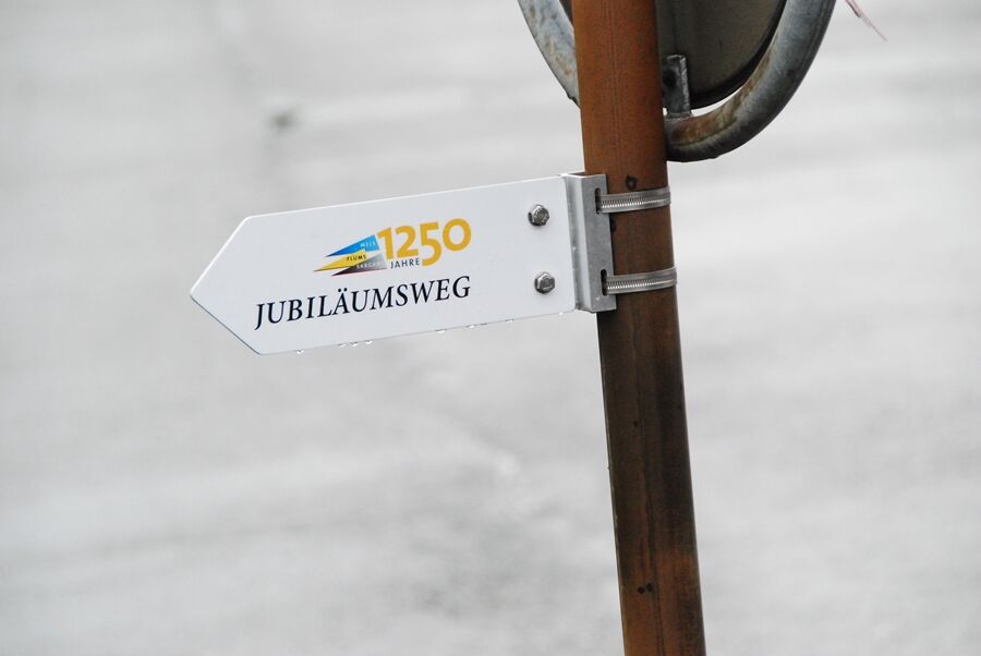
Anniversary route 1250 years celebration Flums, Mels, Sargans
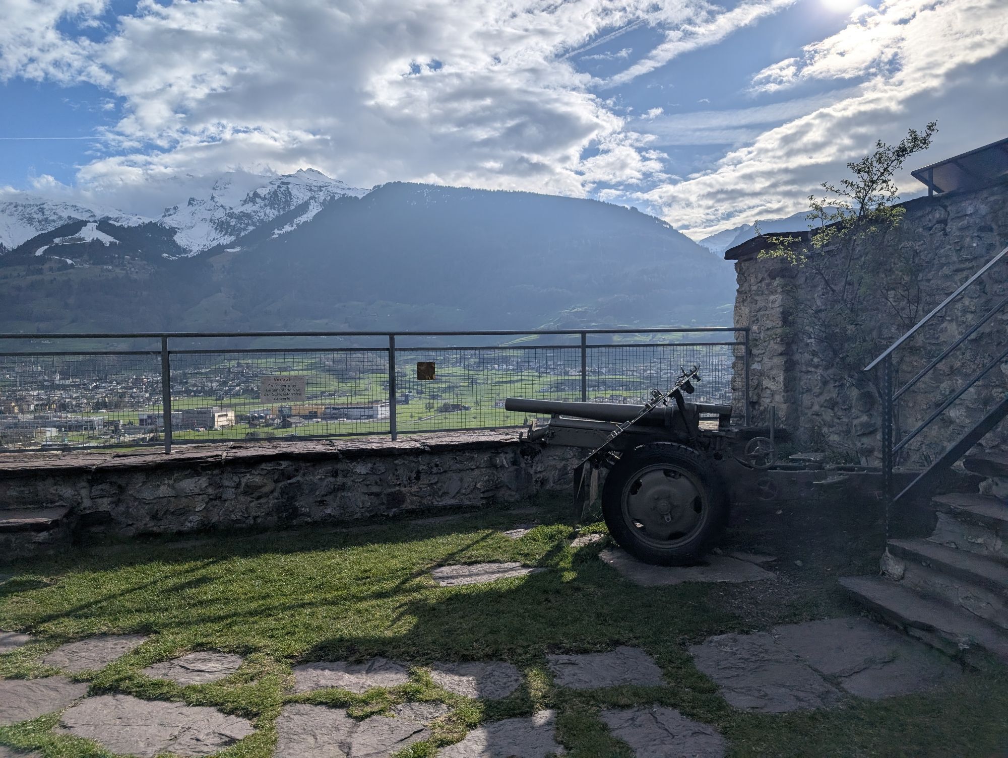
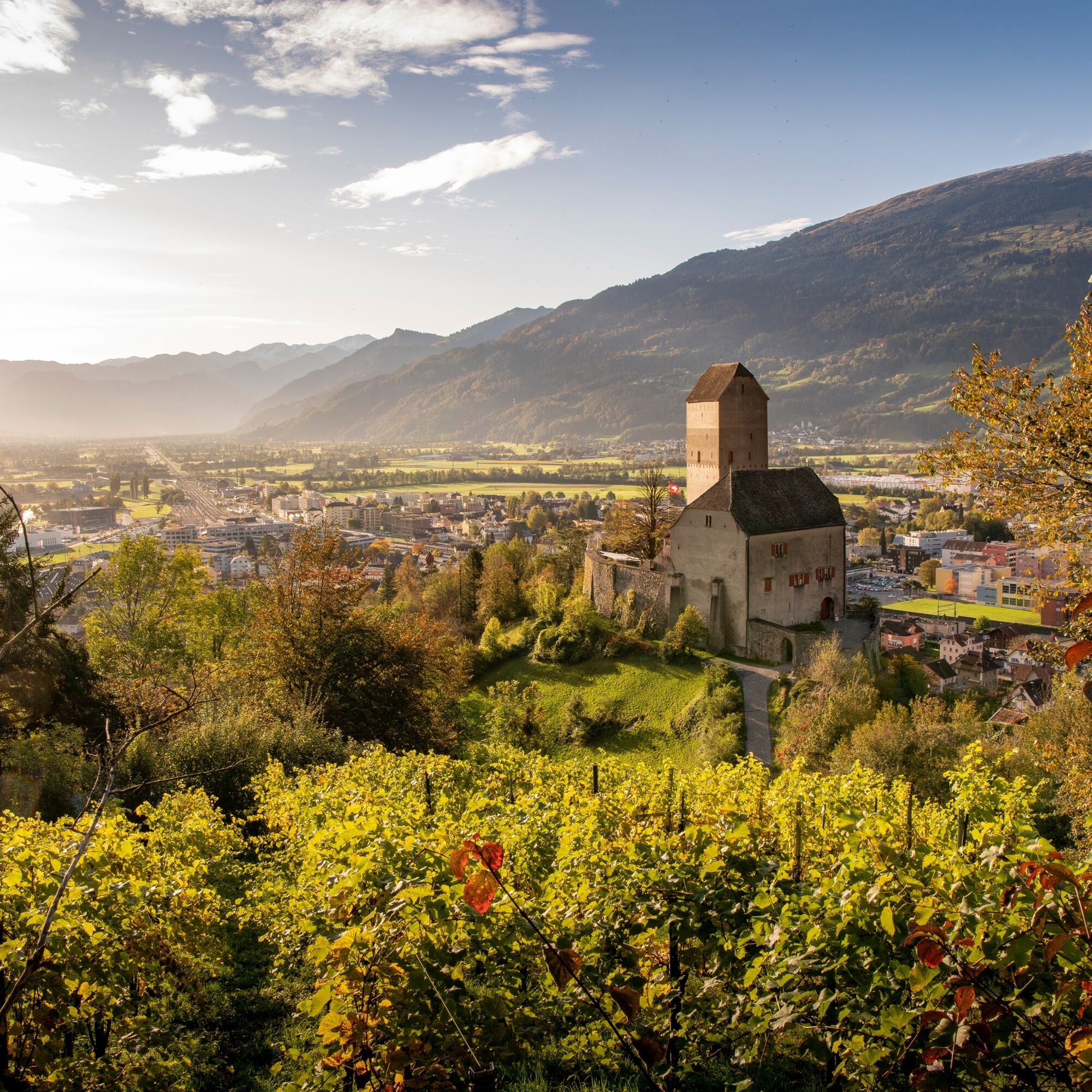
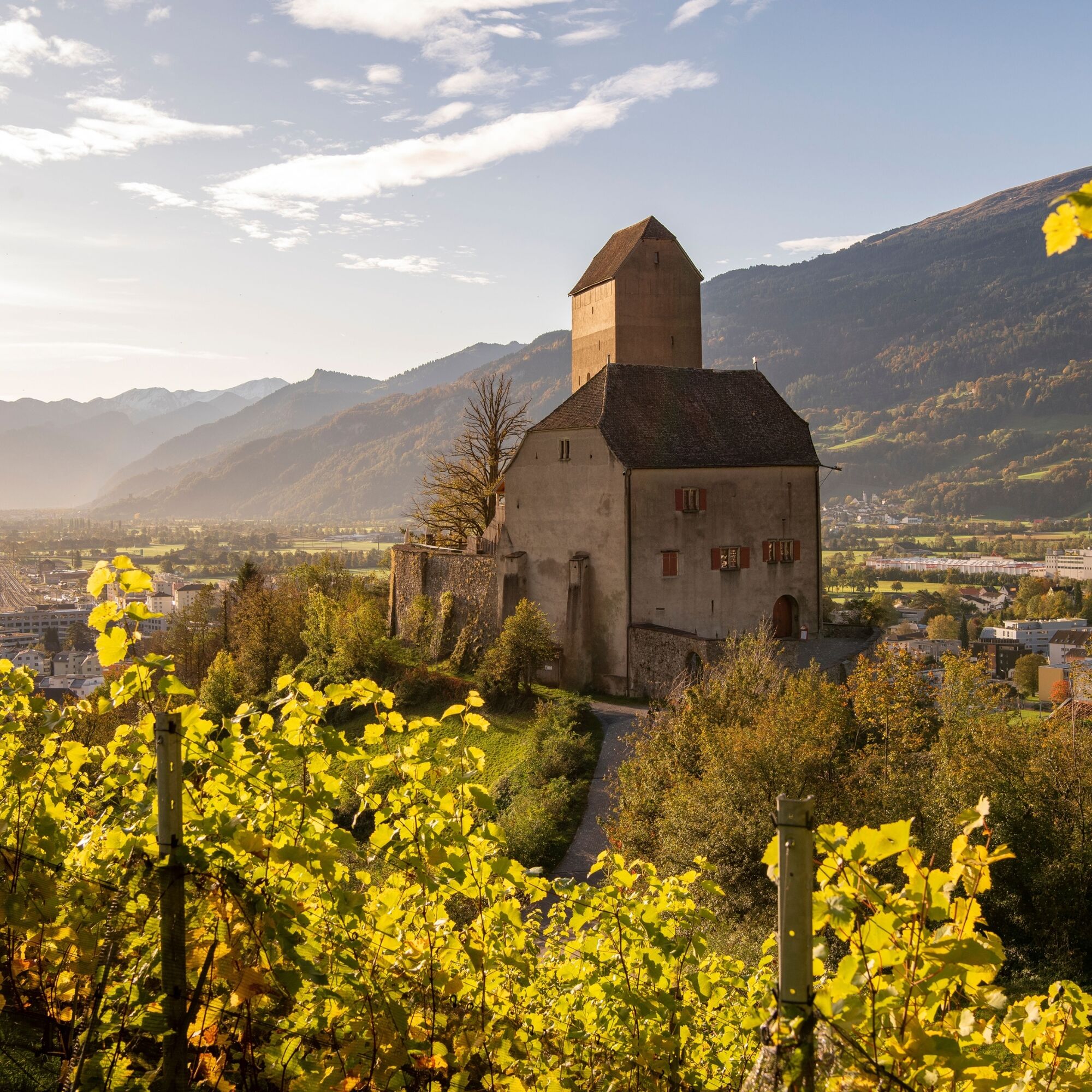
From the Sargans Spleeka Chapel, the route leads via Sargans Castle along the vineyard path to Heiligkreuz. From here, it continues to the Hagerbach experimental tunnel. A restaurant or the meeting place...
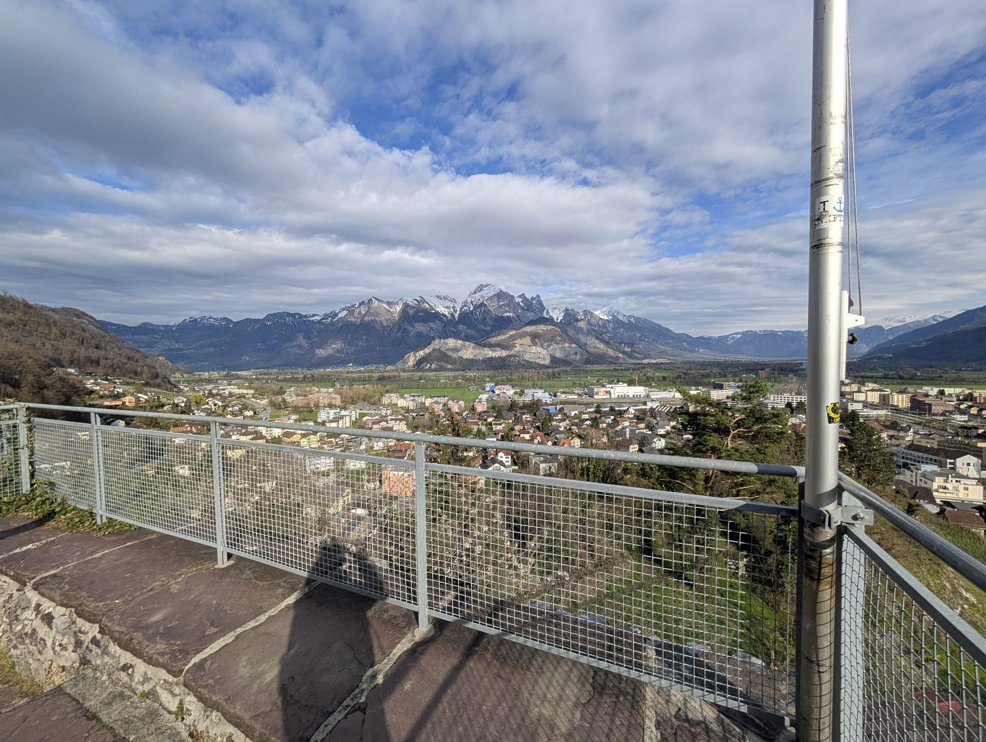
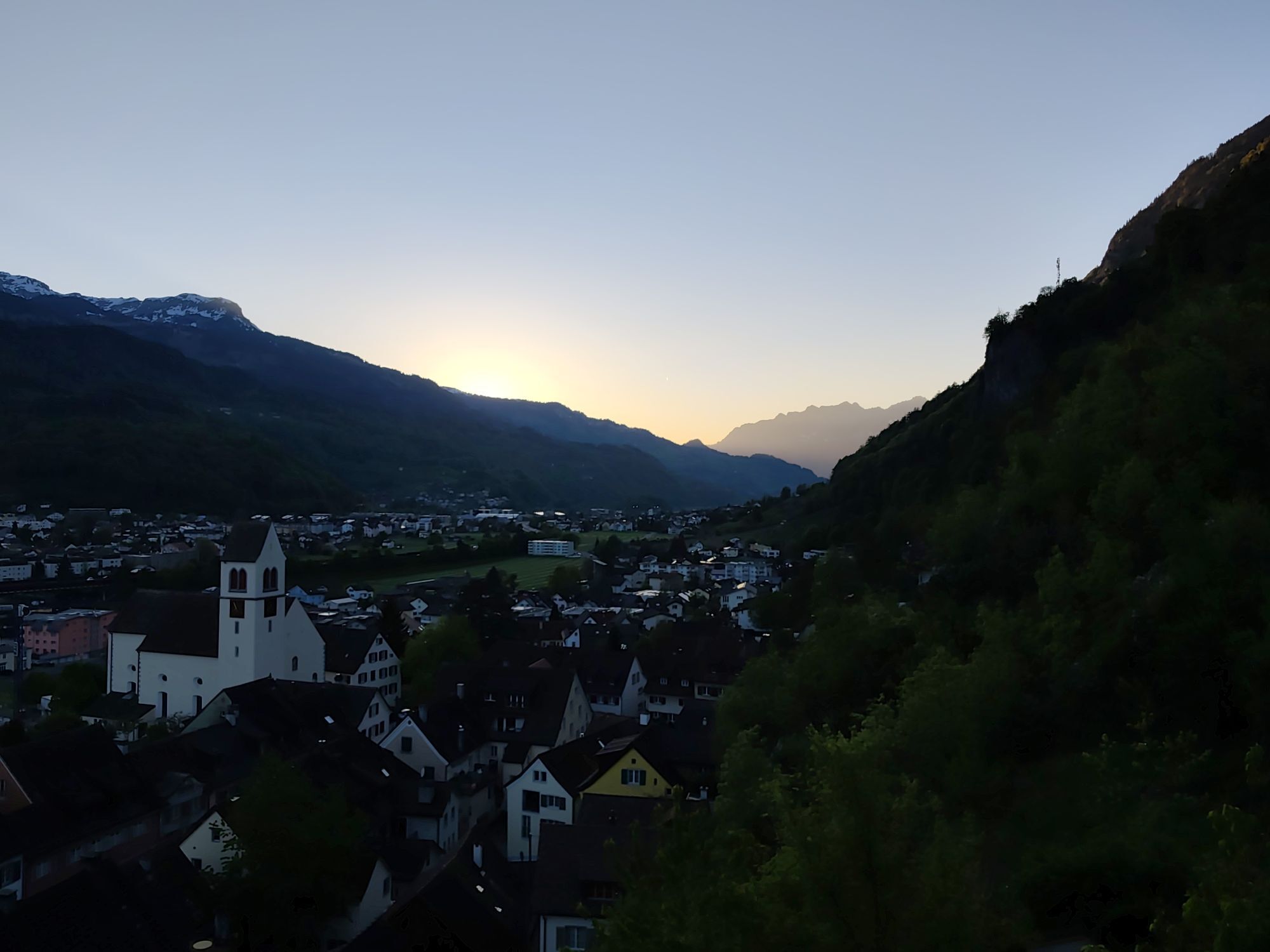
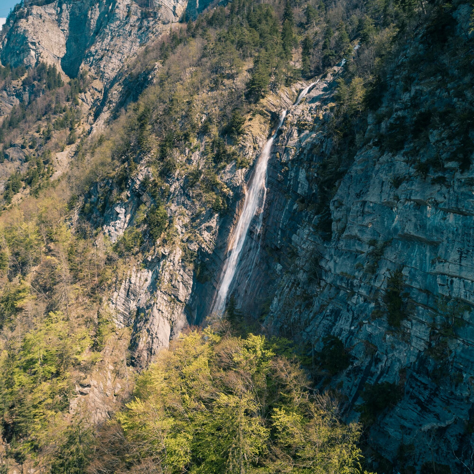
From the Sargans Spleeka Chapel, the route leads via Sargans Castle along the vineyard path to Heiligkreuz. From here, it continues to the Hagerbach experimental tunnel. A restaurant or the meeting place with a fireplace invites you to linger. The hike then continues towards Flums, with beautiful views of the valley, the Flumserberge, the Ragnatscherbach waterfall, and the Churfirsten. Via Hochwiesen, the path then leads to the end point at Flums train station.
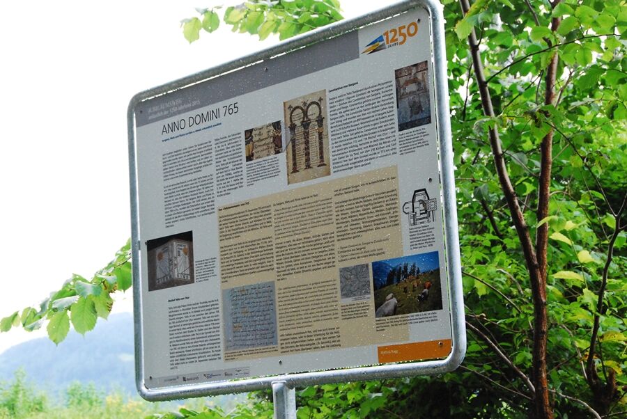
Along the route, there are 15 panels with information about the history of the region. These panels were designed by school classes for the 1250-year anniversary. They contain interesting information about the floods in Flums and Mels, Pfäfers monastery, the Rhaeto-Romance language, the place and field names, Nidberg Castle, the County of Sargans, Bishop Tello's testament, Mels monastery, Gonzen mine, or the town of Sargans.
The route can also be started at Flums train station and ends at the Spleeka Chapel in Sargans. From there, it is only a five-minute walk to the train station. The entire hike lies on the south-facing slope and therefore offers good weather conditions.

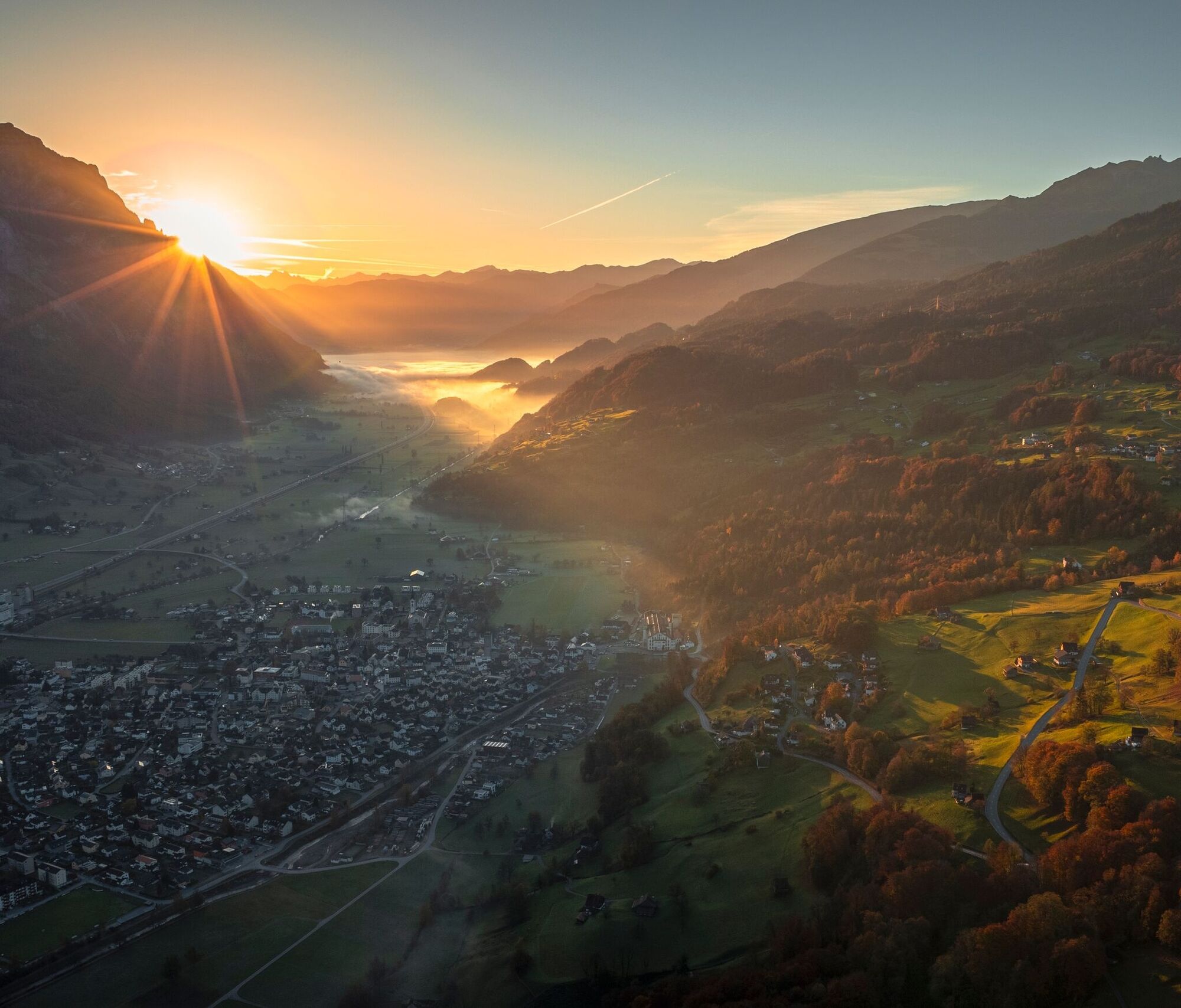
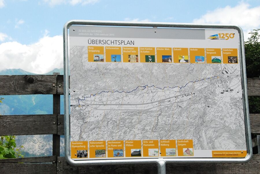
Sargans - Heiligkreuz - Hagerbach - Hochwiese - Flums
Closed footwear is recommended.
Start and end points are located in the immediate vicinity of the Sargans and Flums train stations, respectively.
Information panels about the history of the region along the entire route.
Heidiland Tourism, Bad Ragaz info point
T +41 81 300 40 20
www.heidiland.com
Heidiland Tourism, Flumserberg info point
T +41 81 720 18 18
www.heidiland.com, www.flumserberg.ch
A visit to the Museum Sarganserland in Sargans Castle is worthwhile.
Popularne wycieczki w okolicy
- 4,7
Riviera Lake Walen Walenstadt-Quinten
średniWędrówka 10,4 km - 4,6
Weesen - Quinten - Walenstadt
ciężkiWędrówka 20,6 km - 4,6
To the summit cross of the Alpspitz
światłoWędrówka 6,27 km - 4,6
5-Seen Wanderung am Pizol
światłoWędrówka 10,1 km - 4,7
Tamina Gorge Circular Route
średniWędrówka 14,0 km - 4,6
Pizalun circular route
światłoWędrówka 7,18 km - 4,7
Alvier
średniWędrówka 3,33 km - 4,6
4-Summit-Route Flumserberg
średniWędrówka 8,65 km - 4,4
7-Peak Tour Flumserberg
ciężkiWędrówka 15,0 km - 5,0
Schrina Alp and Cultural Trail
średniTrasa tematyczna 11,5 km
Wędrówki i tropienie


Nie przegap ofert i inspiracji na następne wakacje
Twój adres e-mail została dodana do listy mailingowej.