






Snowshoeing Route Around the Schwendisee
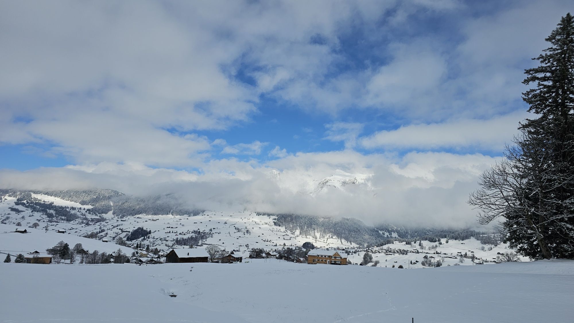
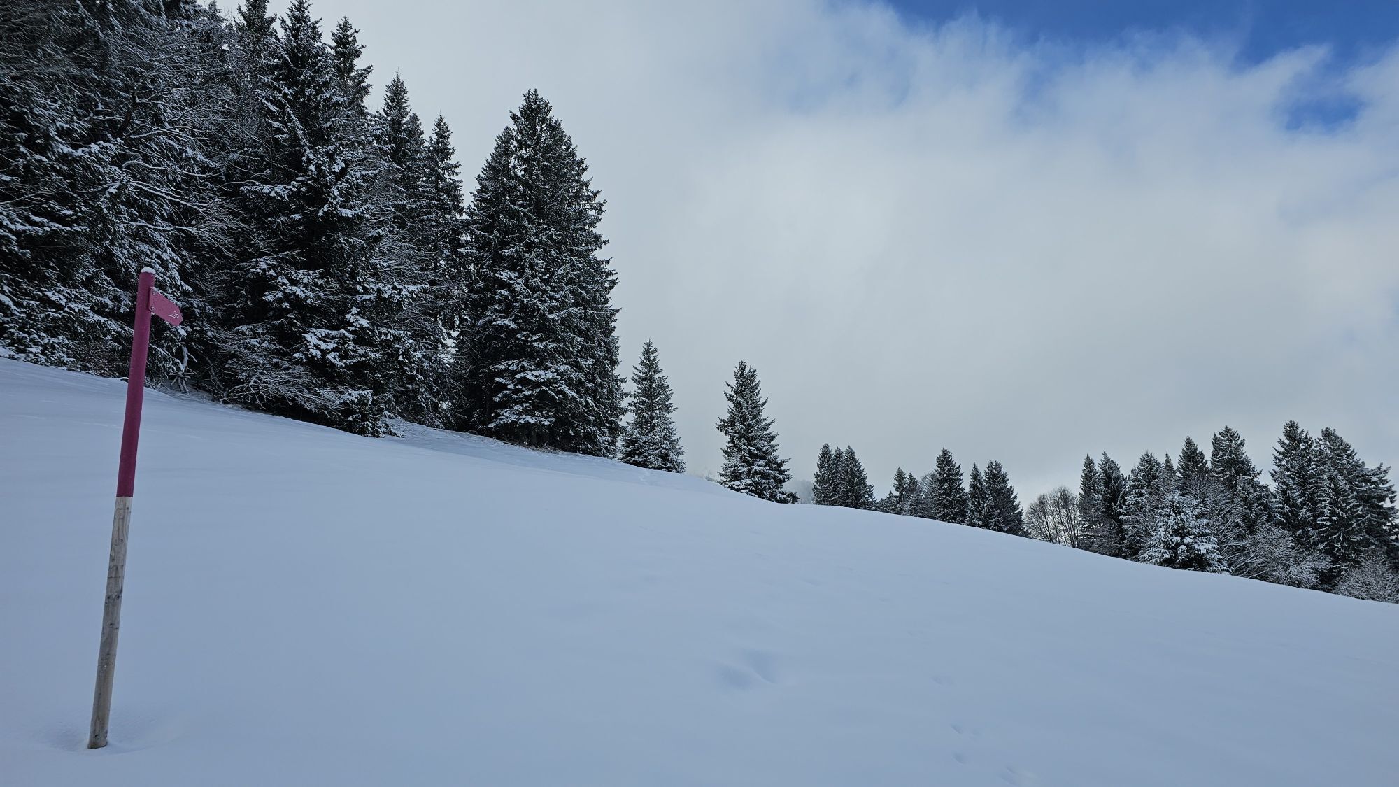
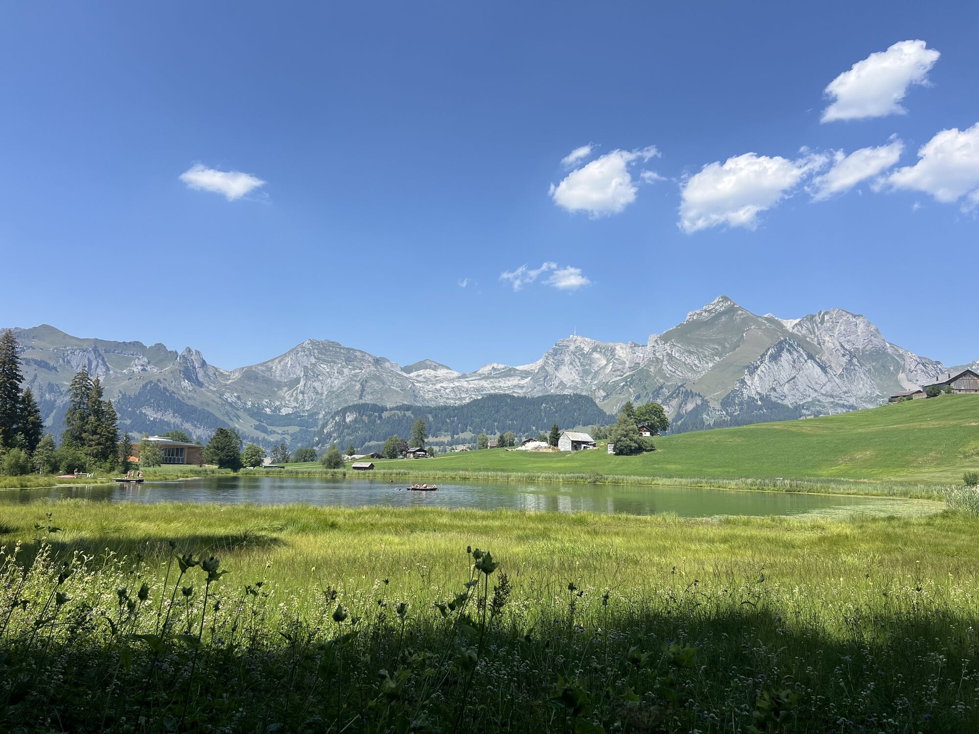


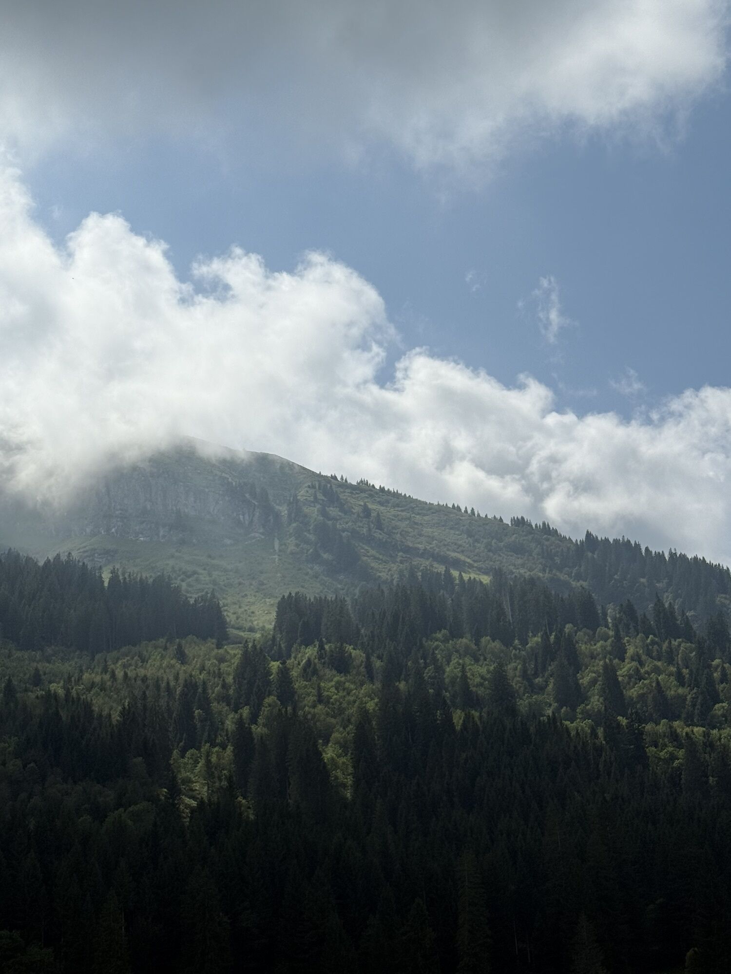
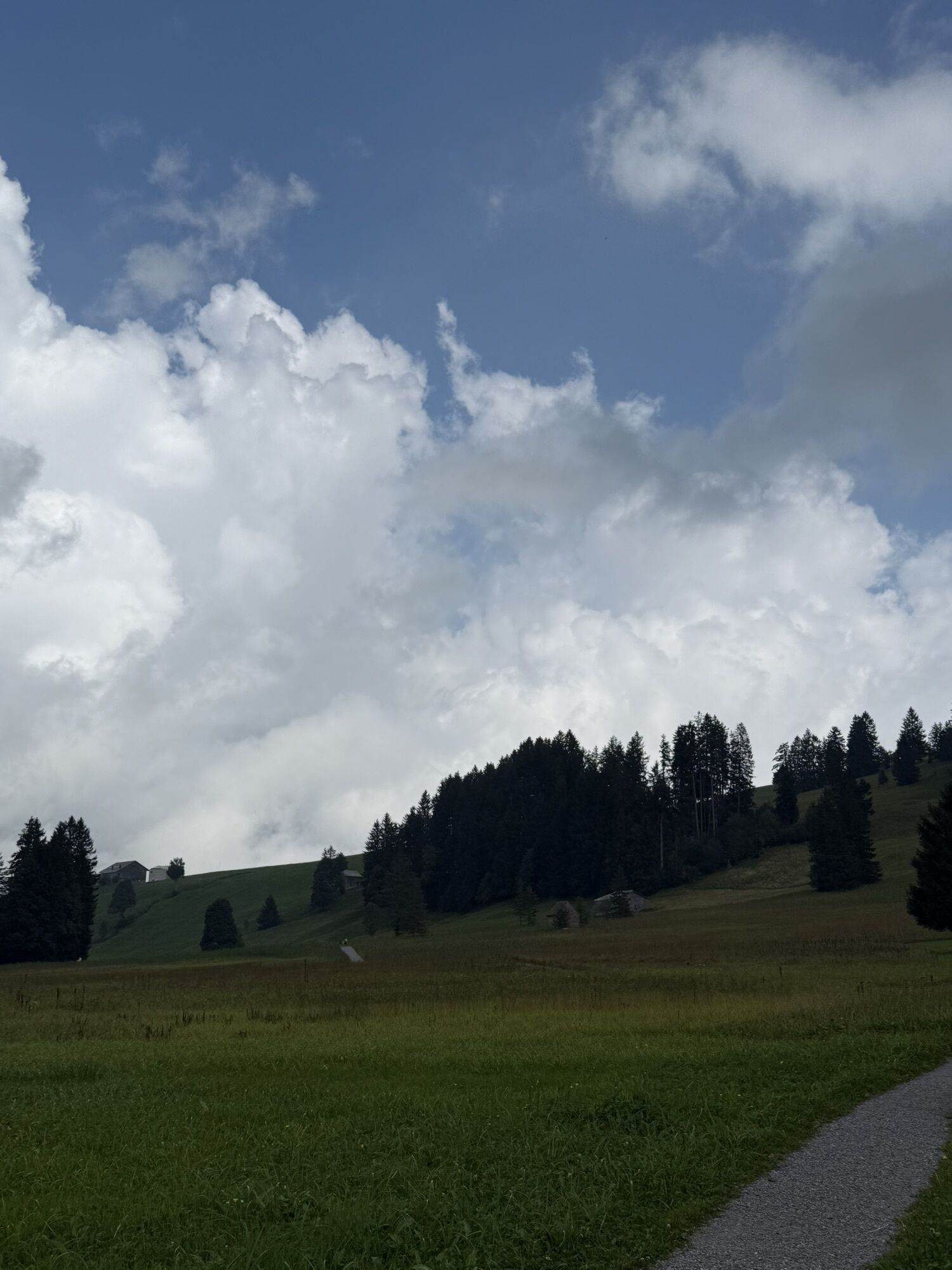
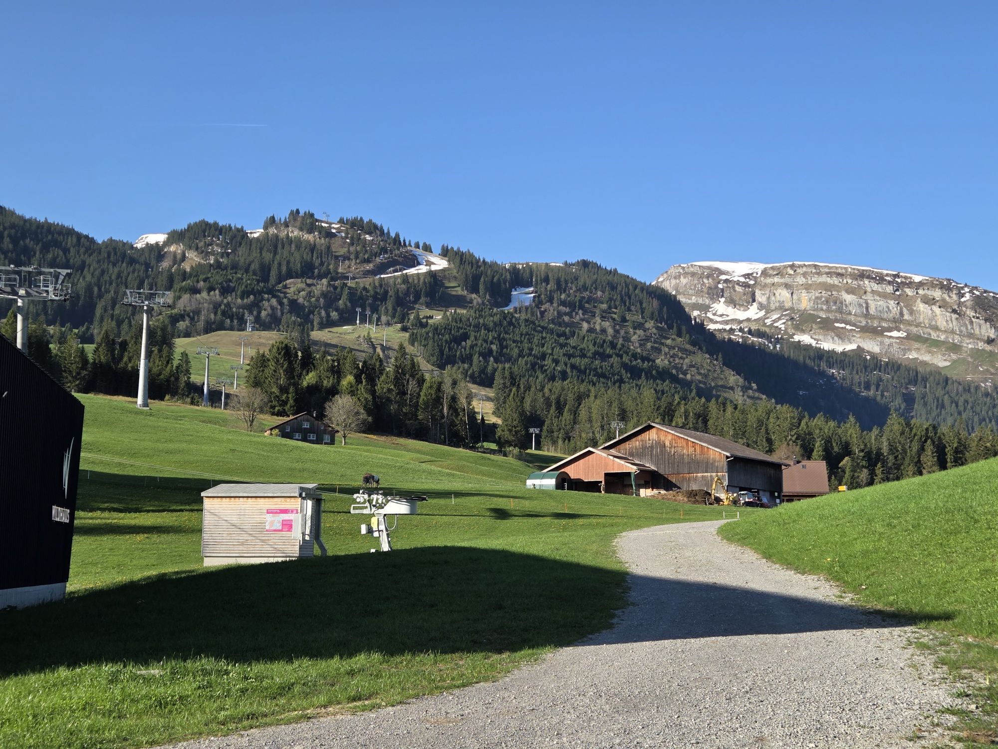
The snowshoeing route around the Schwendisee lakes, ideal for beginners, starts in Oberdorf at 1,230 meters. The start and end point can be reached by the chairlift from Wildhaus. The route leads down...
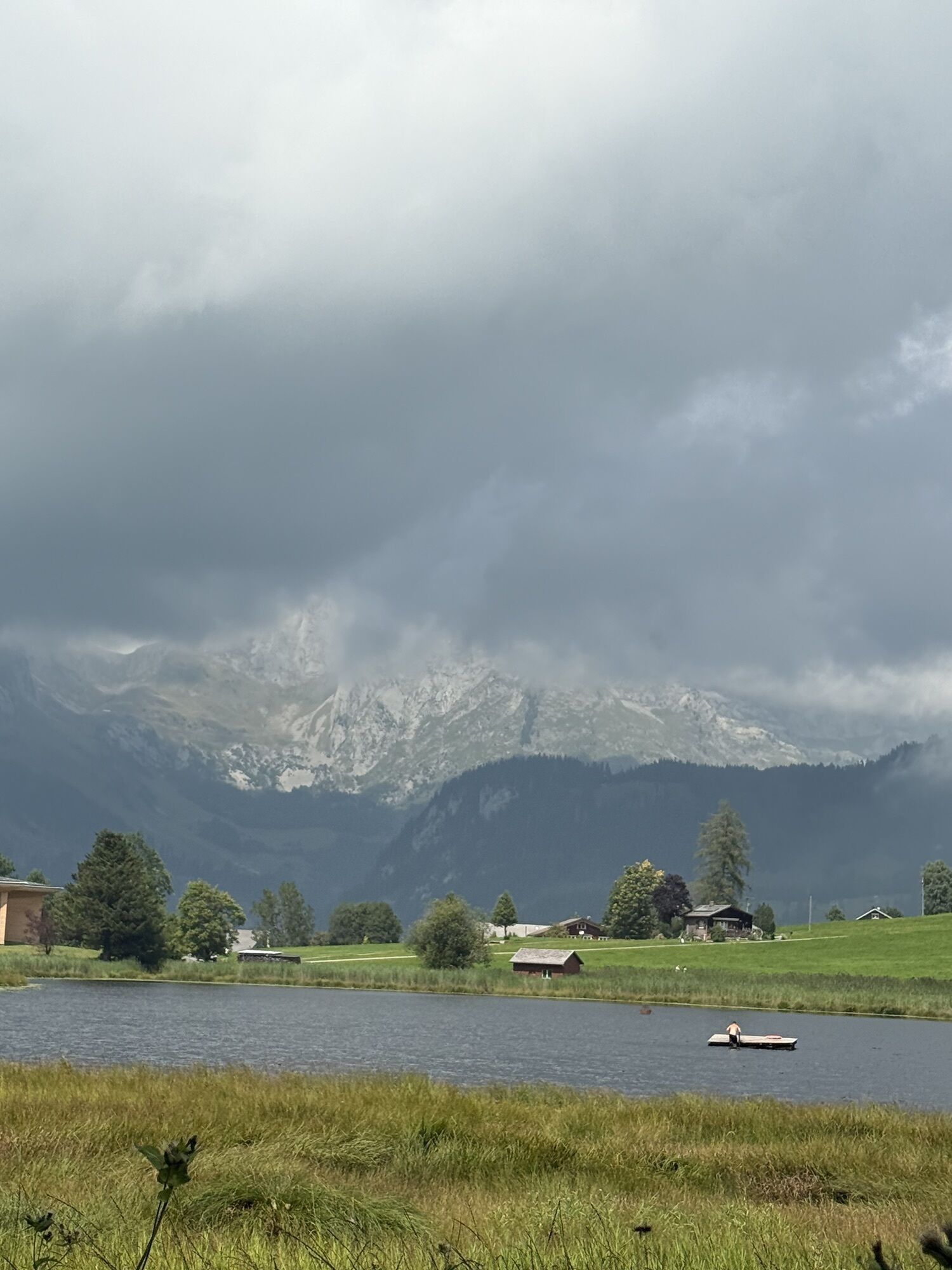
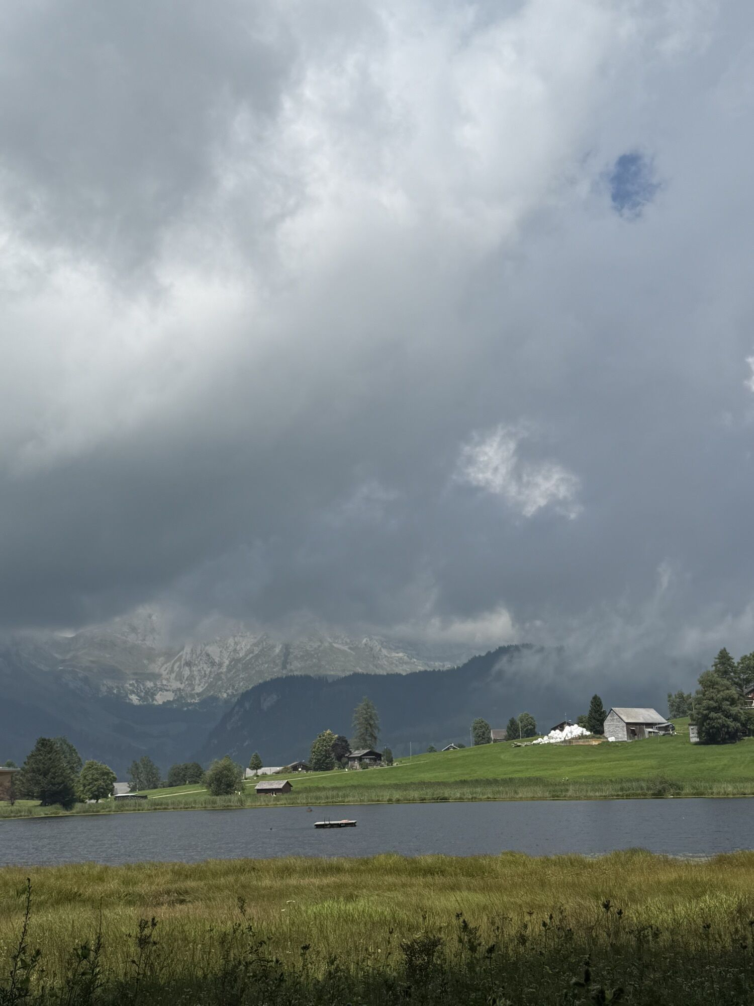
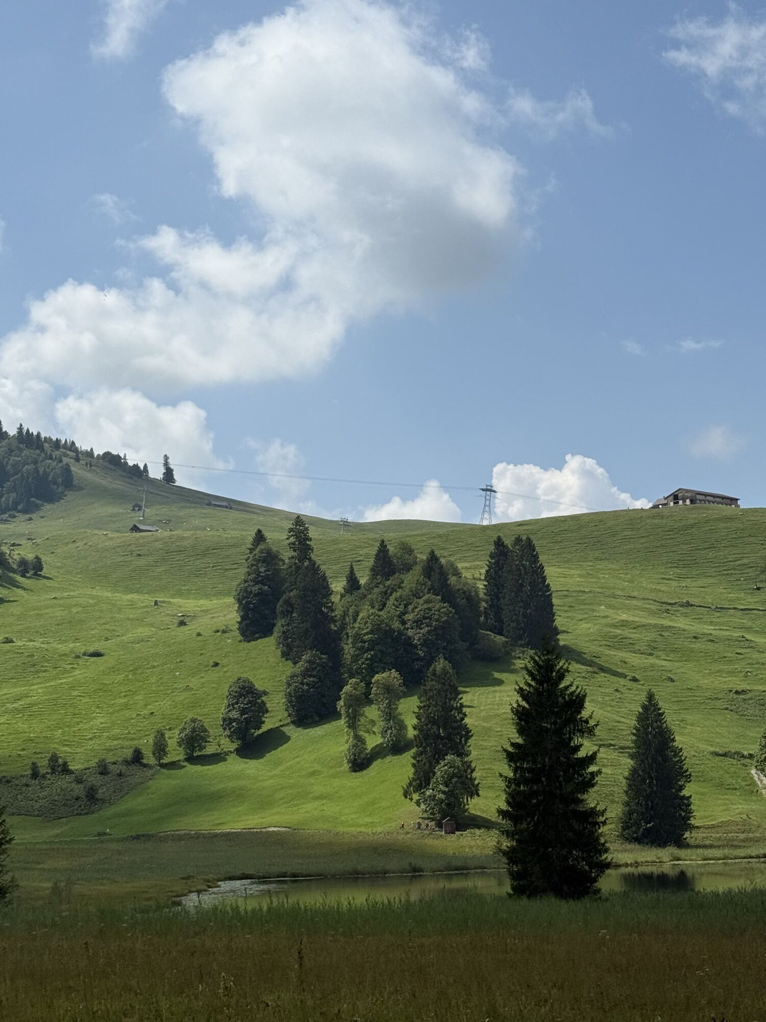
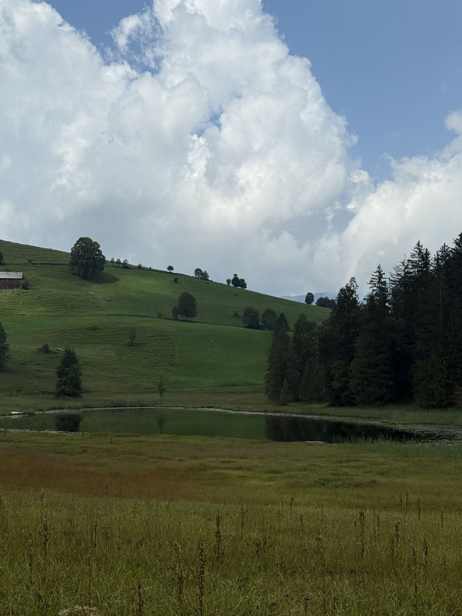
The snowshoeing route around the Schwendisee lakes, ideal for beginners, starts in Oberdorf at 1,230 meters. The start and end point can be reached by the chairlift from Wildhaus. The route leads down the gentle hillside of the Freienalp to and around the Schwendisee lakes. It has little slope and hardly any challenging sections, so you can fully concentrate on the landscape. And it has a lot to offer: magical winter scenes of reeds and gnarled deadwood in the raised bog around the Schwendisee, the wilderness of the Seichberg forest, the Chäserrugg rising steeply behind it, and on the opposite side of the valley, the Alpstein with the distinctive Wildhauser Schafberg in the foreground. In winter, the lakes are usually completely frozen and then also open for ice skating.

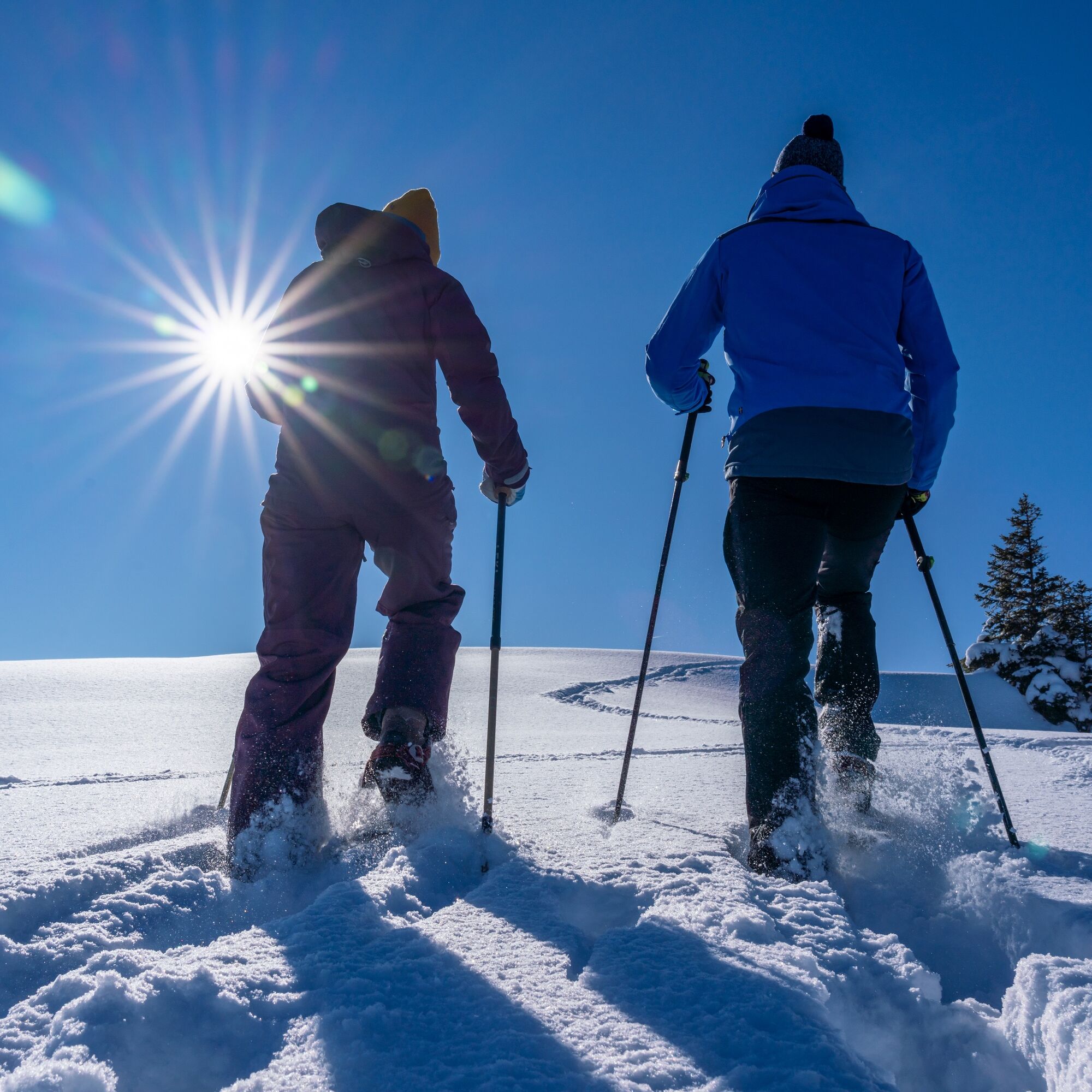
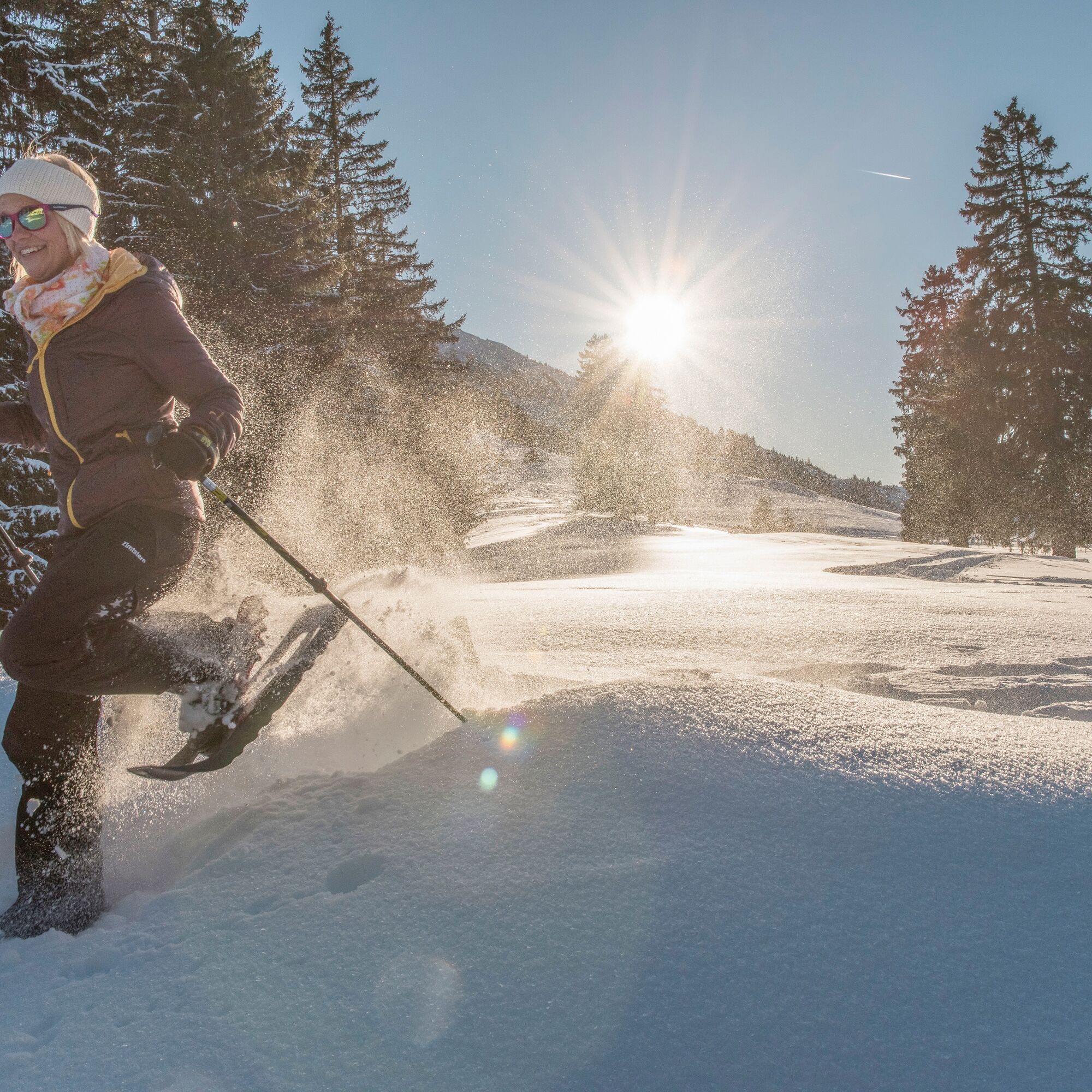
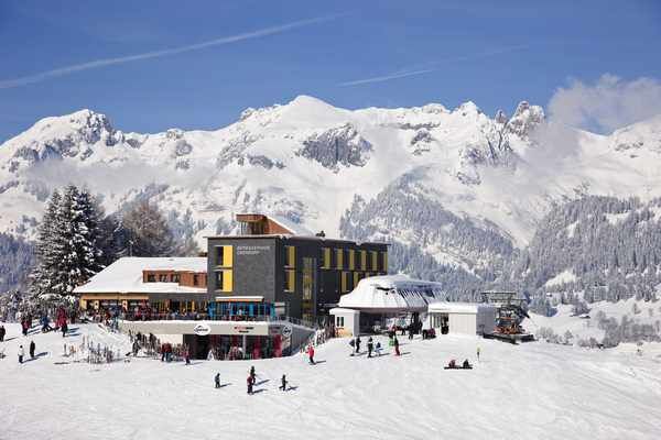
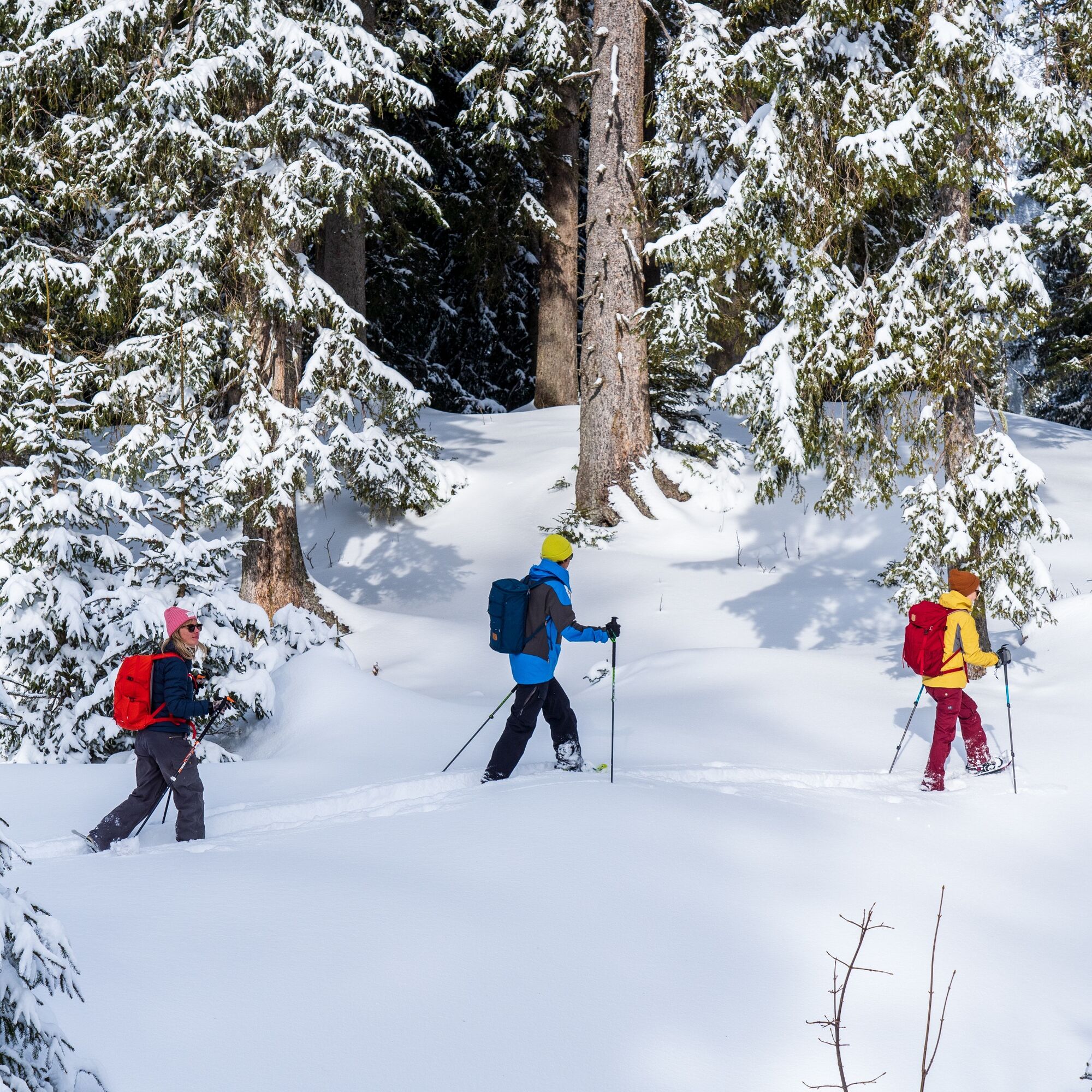

The route leads down the gentle hillside of the Freienalp to and around the Schwendisee lakes. It has little slope and hardly any challenging sections, so you can fully concentrate on the landscape. And it has a lot to offer: magical winter scenes of reeds and gnarled deadwood in the raised bog around the Schwendisee, the wilderness of the Seichberg forest, the Chäserrugg rising steeply behind it, and on the opposite side of the valley, the Alpstein with the distinctive Wildhauser Schafberg in the foreground. In winter, the lakes are usually completely frozen and then also open for ice skating.
Tak
Tak
Snowshoes, telescopic poles with large baskets, avalanche equipment with transceiver, avalanche probe and shovel, day hiking backpack (about 30 liters) with rain cover, possibly with avalanche airbag, comfortable and waterproof winter shoes or sturdy hiking boots that fit into the snowshoe bindings, possibly gaiters, warm and durable clothing in layers, ski jacket and pants, hat/headband, scarf, gloves, possibly ski goggles, sun and rain protection, provisions and drinking water, thermos with hot drink, first aid kit, pocket knife, mobile phone, possibly headlamp and reflectors, map material, possibly bivy sack and rescue blanket
Stay on the marked route. There is avalanche danger off the trail.
Observe the adjacent wildlife protection zones.
Take the A3 at Reichenburg towards Rapperswil and then over the Ricken Pass to Wattwil. Then go up the Toggenburg region to Wildhaus. From Eastern Switzerland:
From St. Gallen to Herisau and further over the Wasserfluh to Lichtensteig. Or from St. Gallen to Wil, take the Toggenburg exit. Follow the main road to Wildhaus. From the southern German area:
Via Bregenz and St. Margrethen on the A13 to Haag and take the exit towards Toggenburg/Wildhaus. Or via Konstanz to Wil, then take the Toggenburg exit and follow the main road to Wildhaus.
By train to Nesslau Neu St. Johann station and then by bus to Wildhaus Lisighaus.
From the Rhine Valley by train to Buchs SG station and then by bus to Wildhaus Lisighaus.
There are paid parking spaces available at the large Munzenriet car park.
You can find the operating times of the Wildhaus cable cars here.
Snowshoes can be rented directly at the route start from Beat Sport.
Toggenburg Tourism
Hauptstrasse 104
9658 Wildhaus
+41 71 999 99 11
At the end of the snowshoeing route, the mountain inn Oberdorf invites you to try local specialties. For example, the Schlorzifladen, a Toggenburg specialty with a filling of dried pears.
Kamery internetowe z trasy
Uzyskaj wgląd
Zawsze na żywo z ponad 9 500 kamer internetowych. bergfex Jako użytkownik Pro, możesz teraz zobaczyć odpowiednie kamery internetowe dla wielu wycieczek w aplikacji wycieczki od. Pozwala to na bezpośredni podgląd aktualnych warunków.
Popularne wycieczki w okolicy
-
4,8
Walensee Riviera Weesen - Quinten
średniWędrówka 10,2 km -
4,7
Riviera Lake Walen Walenstadt-Quinten
średniWędrówka 10,4 km -
4,6
Weesen - Quinten - Walenstadt
ciężkiWędrówka 20,6 km -
5,0
Staubern-Runde (15.8.2021)
średniWędrówka 8,65 km -
4,9
Säntis-Gipfeltour, Wasserauen / Appenzell Innerrhoden
ciężkiWędrówka 21,1 km -
4,7
Tour Brülisau - Saxerlücke - Hoherkasten⛰
ciężkiWędrówka 16,6 km -
4,7
Wasserauen - Seealpsee - Wasserauen
średniWędrówka 7,71 km -
4,6
Säntis
średniWycieczki górskie 17,5 km -
5,0
Schrina Alp and Cultural Trail
średniTrasa tematyczna 11,5 km -
4,7
Alvier
średniWędrówka 3,33 km
Wędrówki i tropienie


Nie przegap ofert i inspiracji na następne wakacje
Twój adres e-mail została dodana do listy mailingowej.





