





Snowshoe route from Sellamatt to the Zinggen pub via Mittelstofel

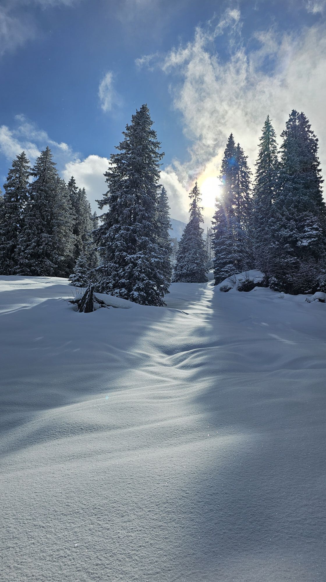
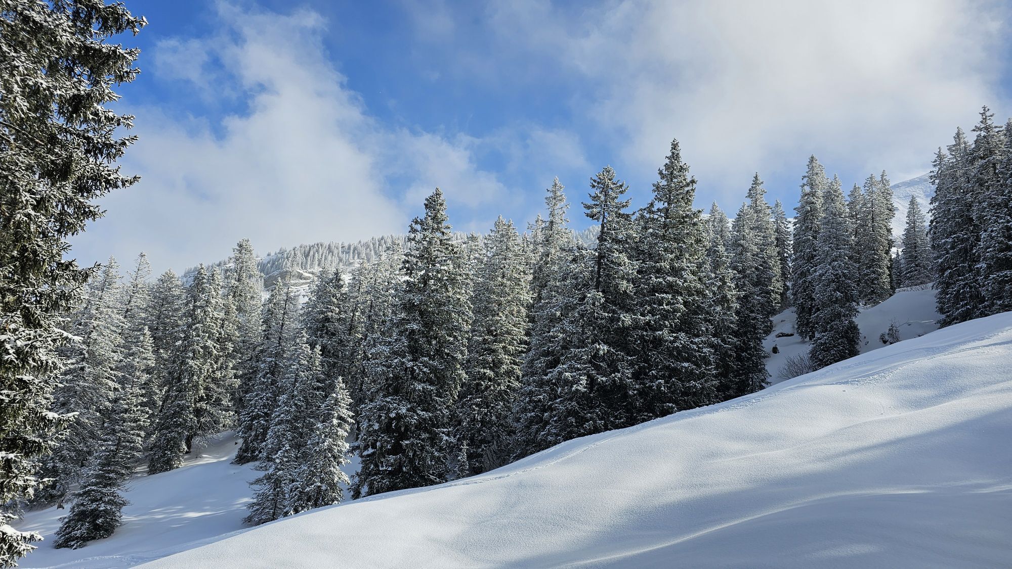
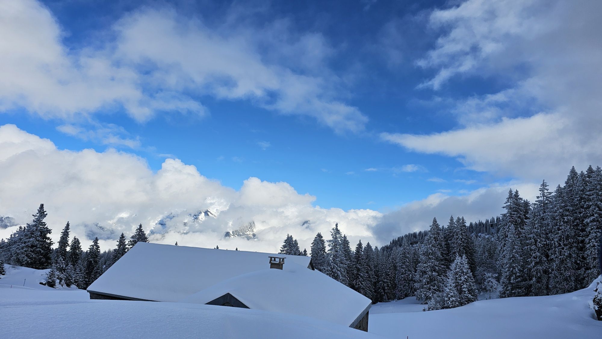
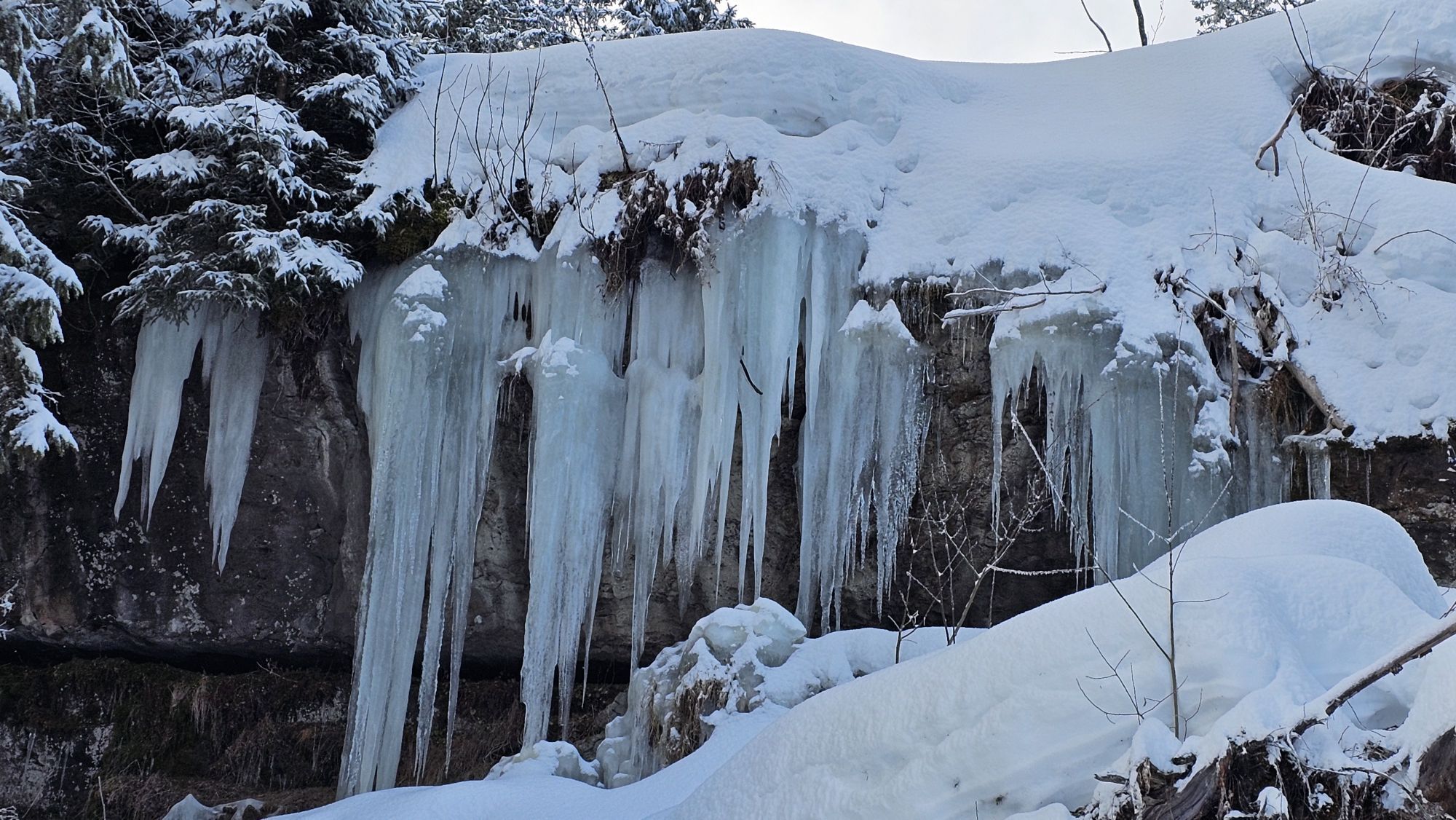
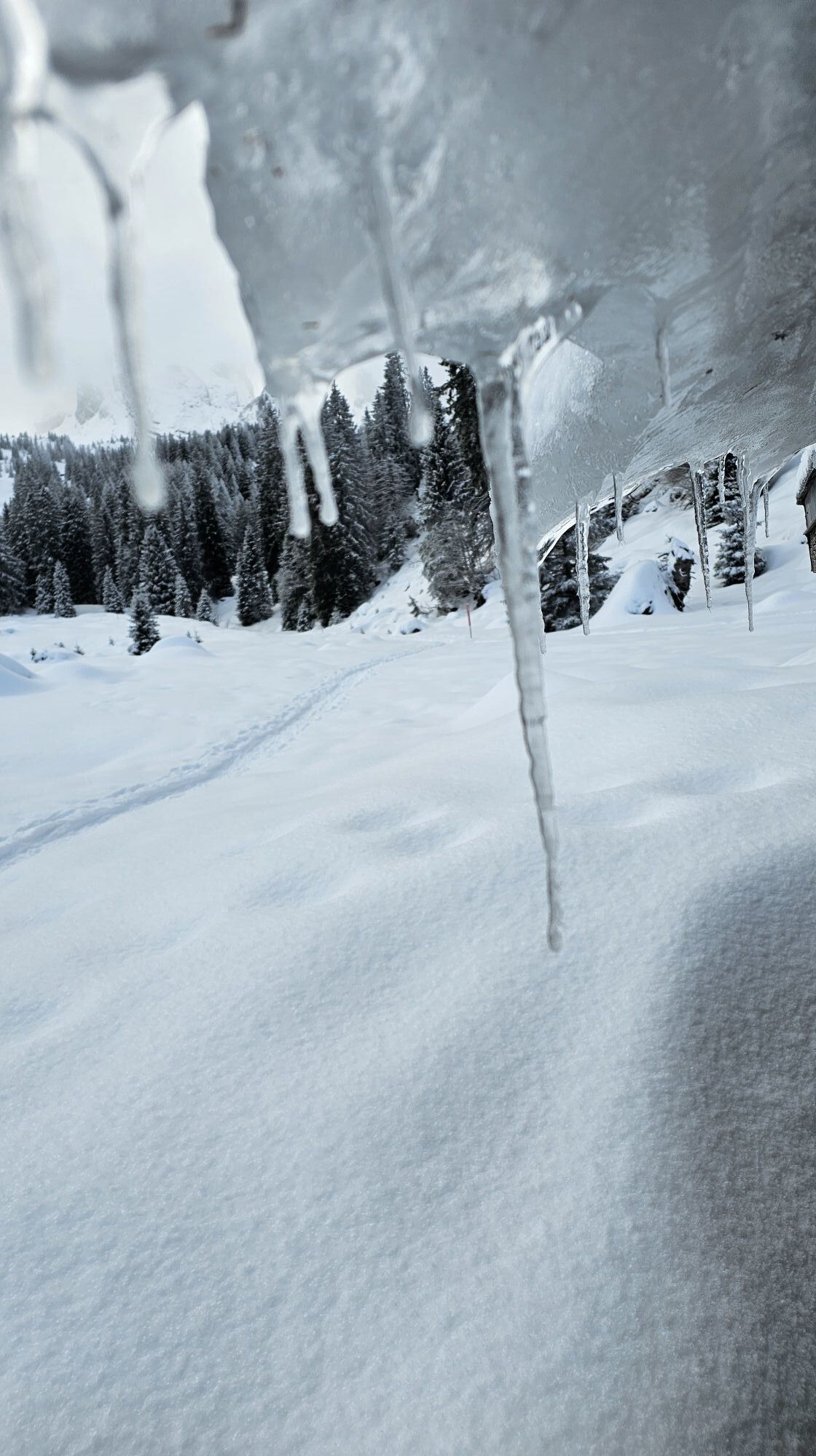
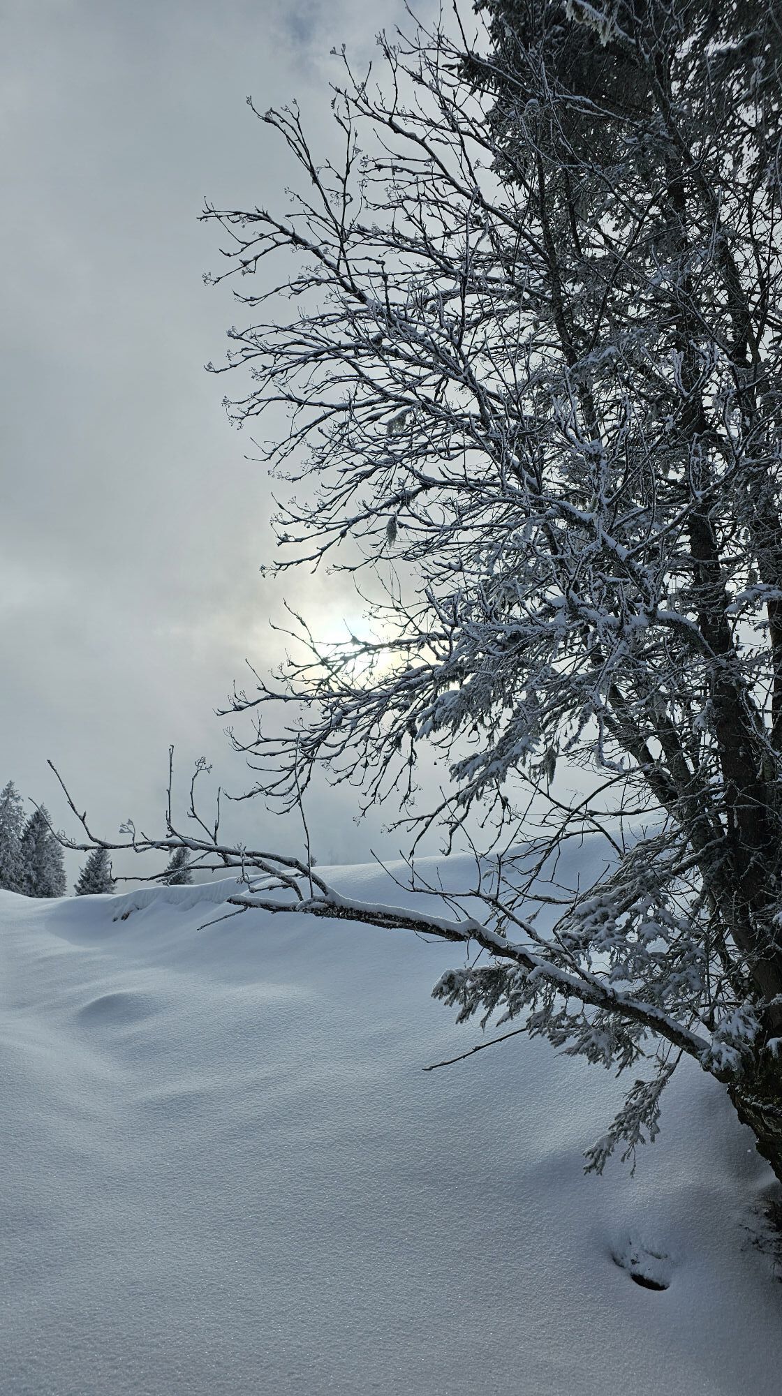
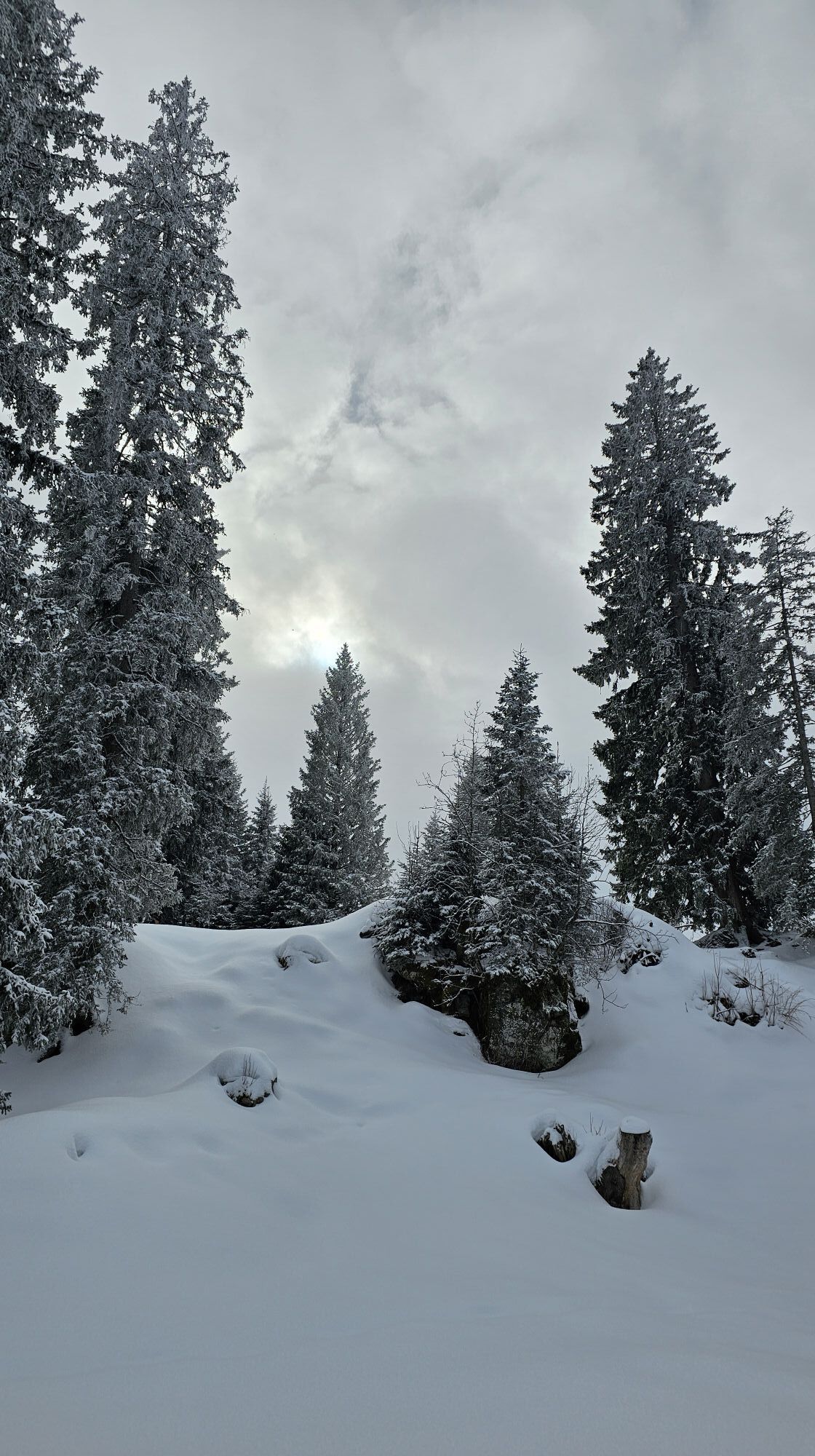
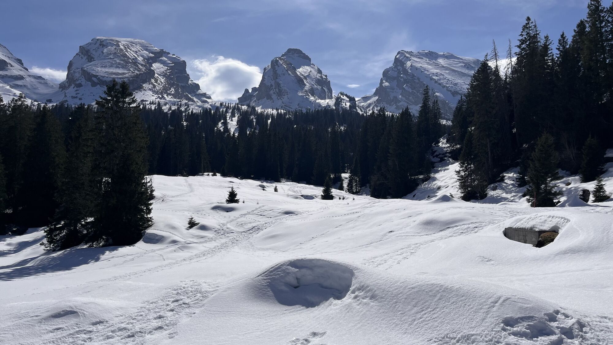
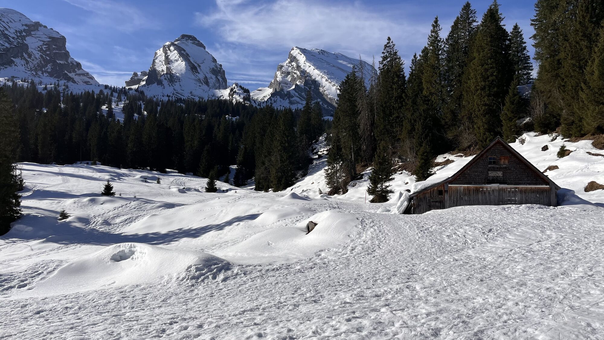
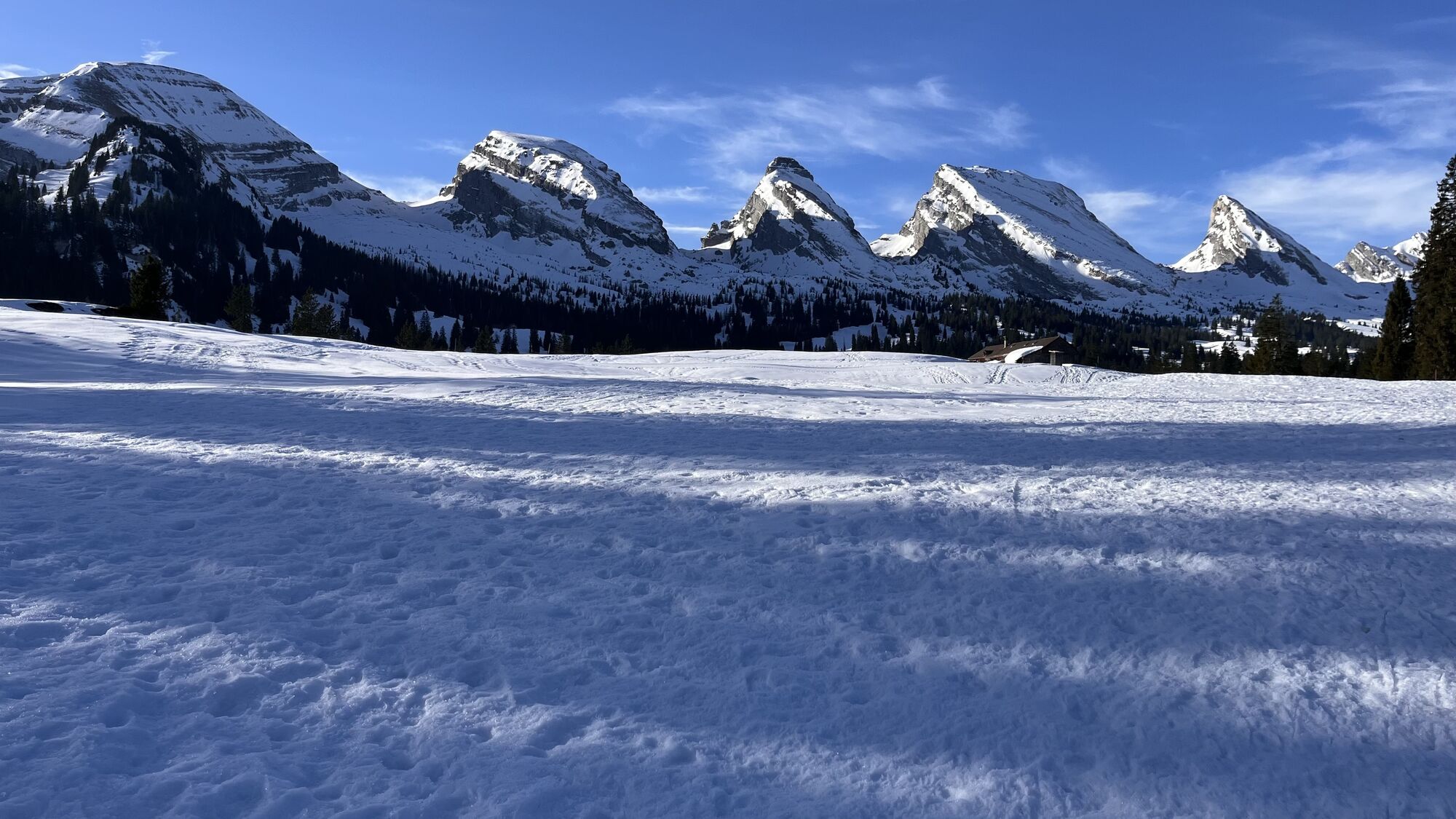

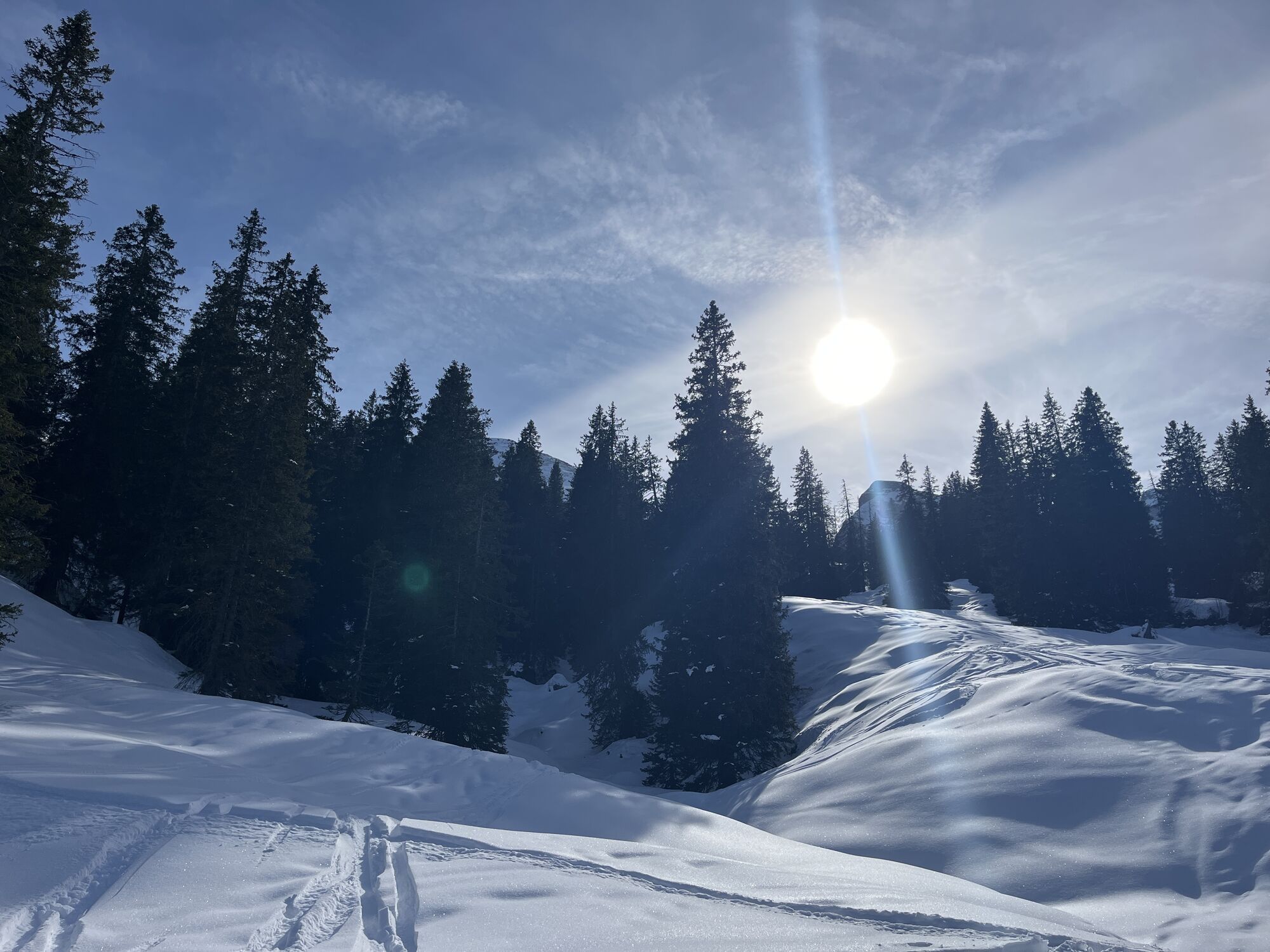
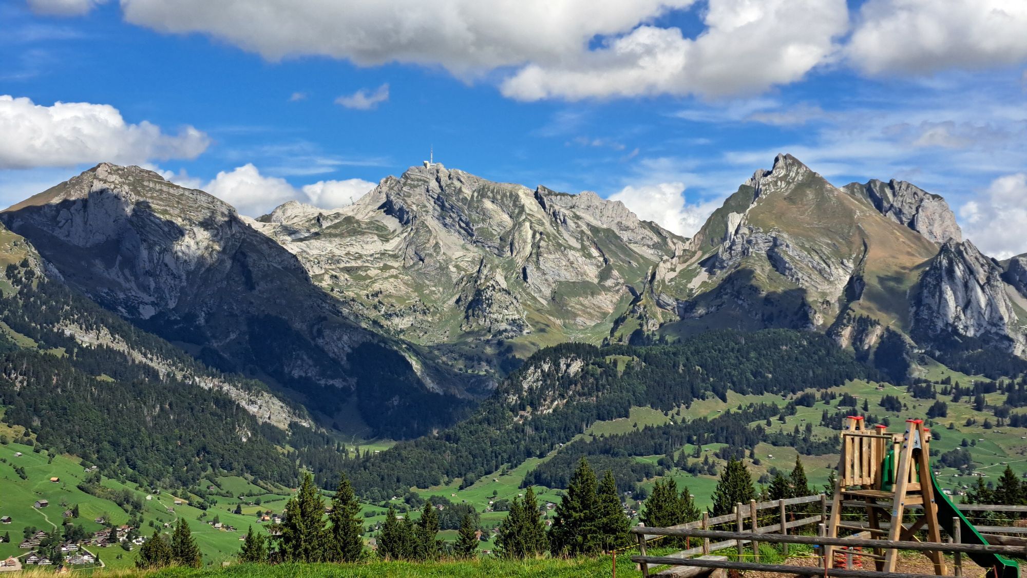
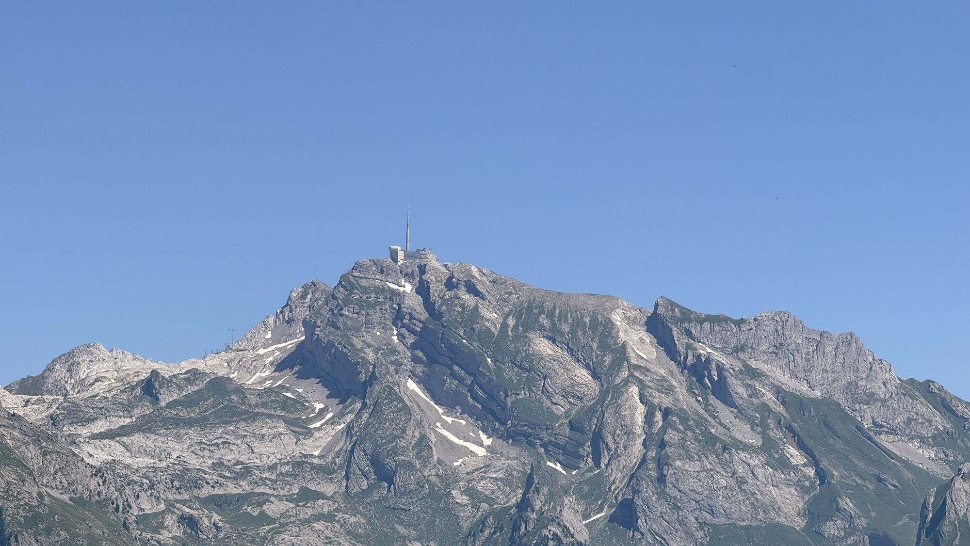
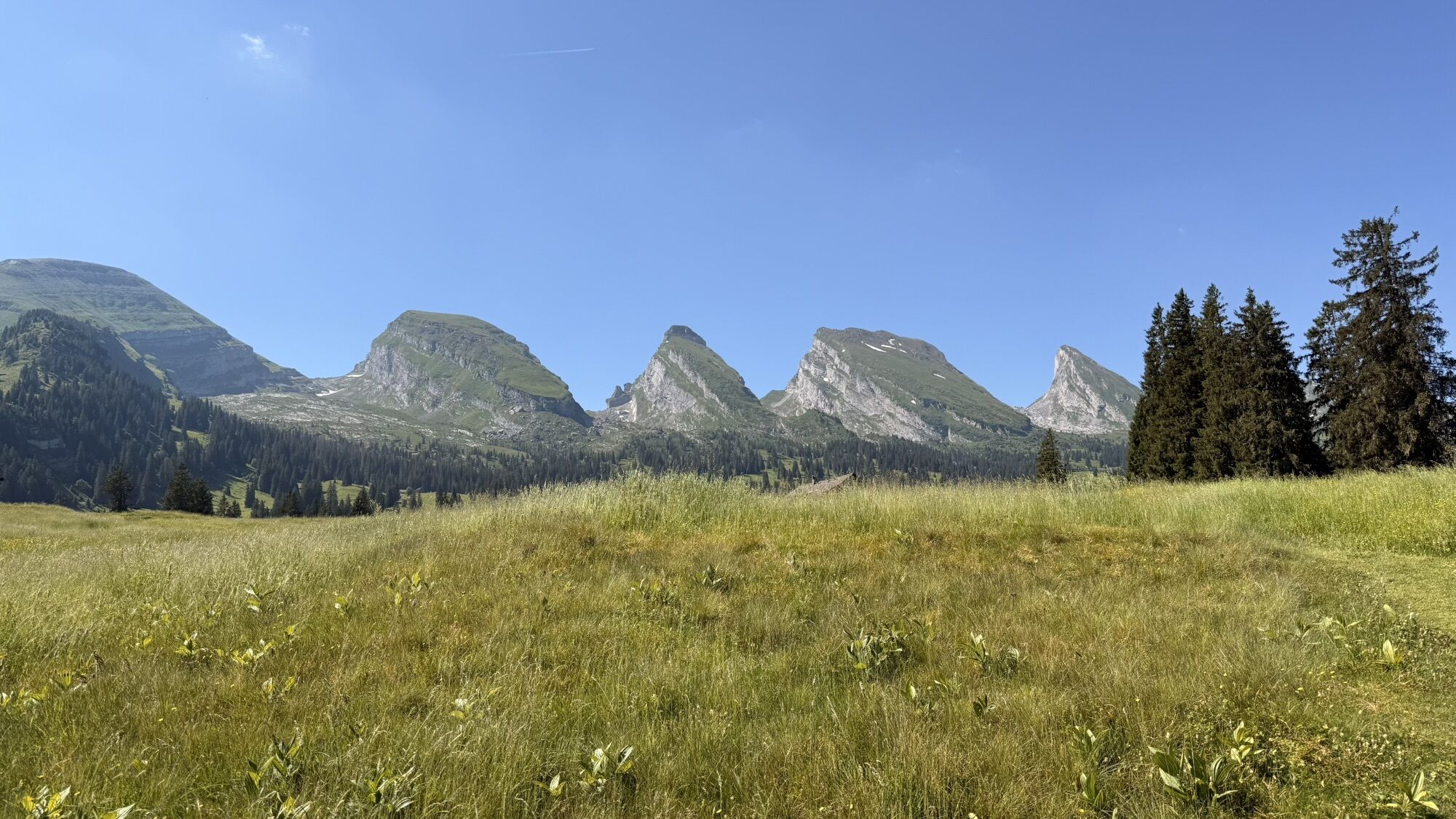
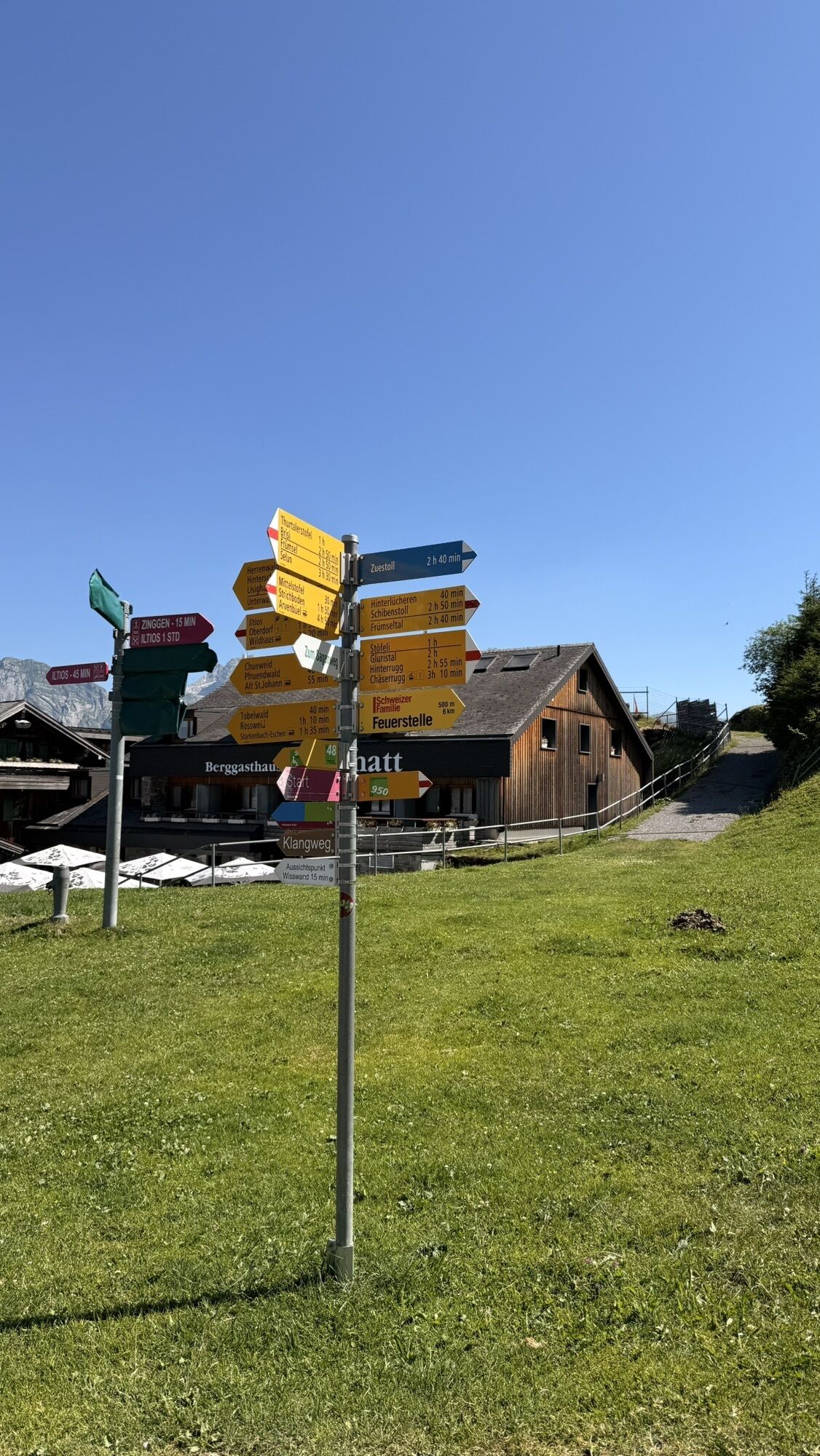
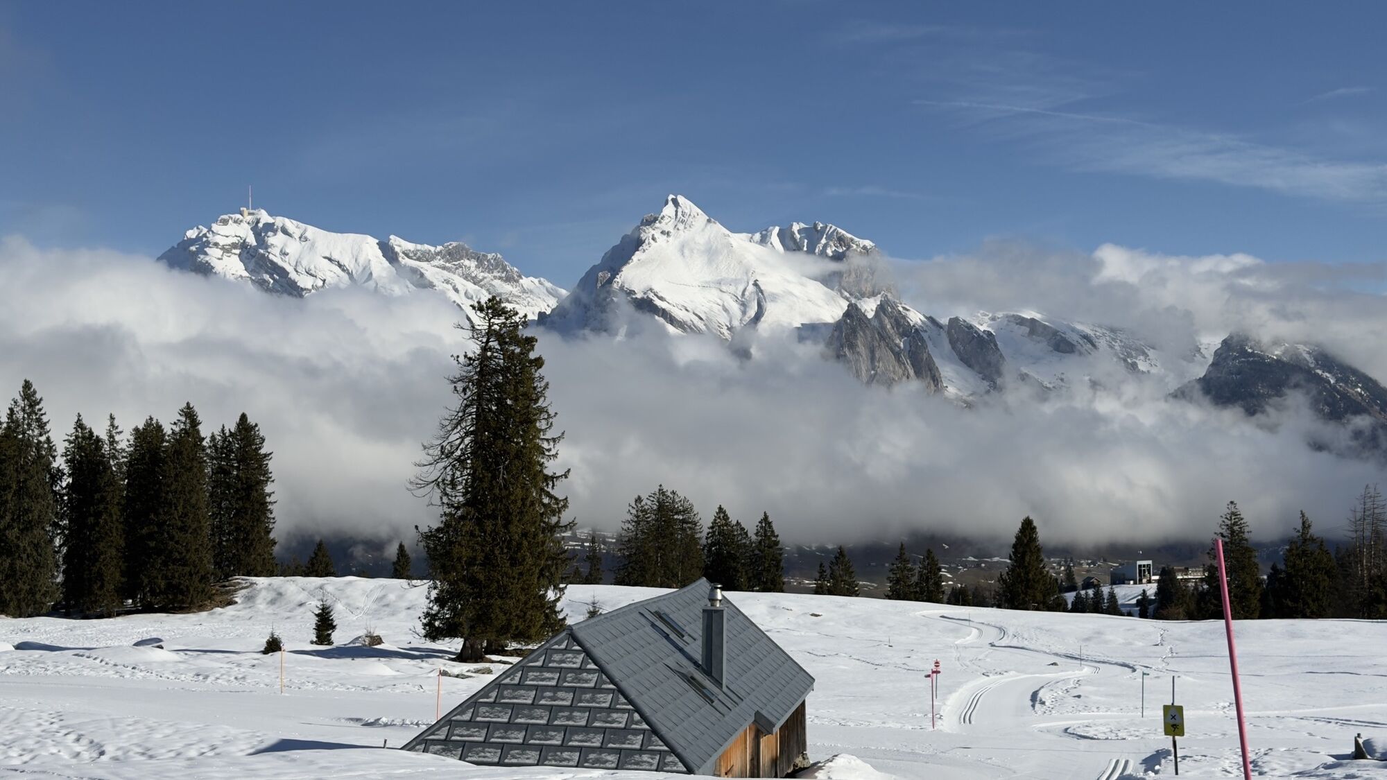
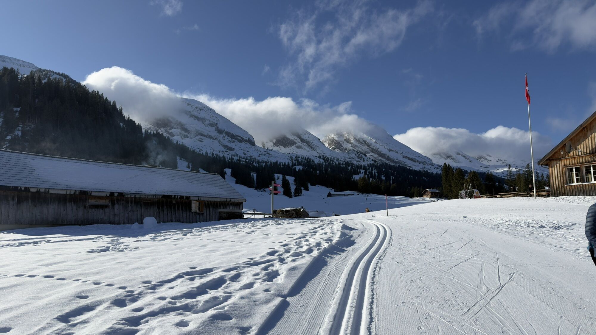
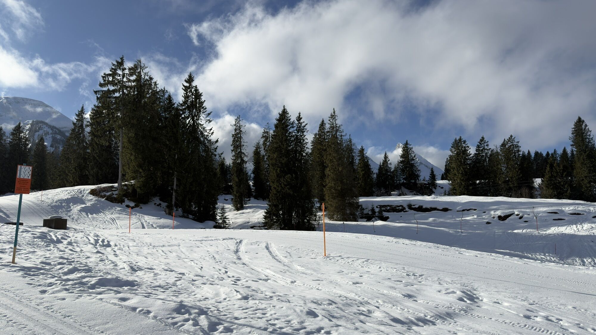
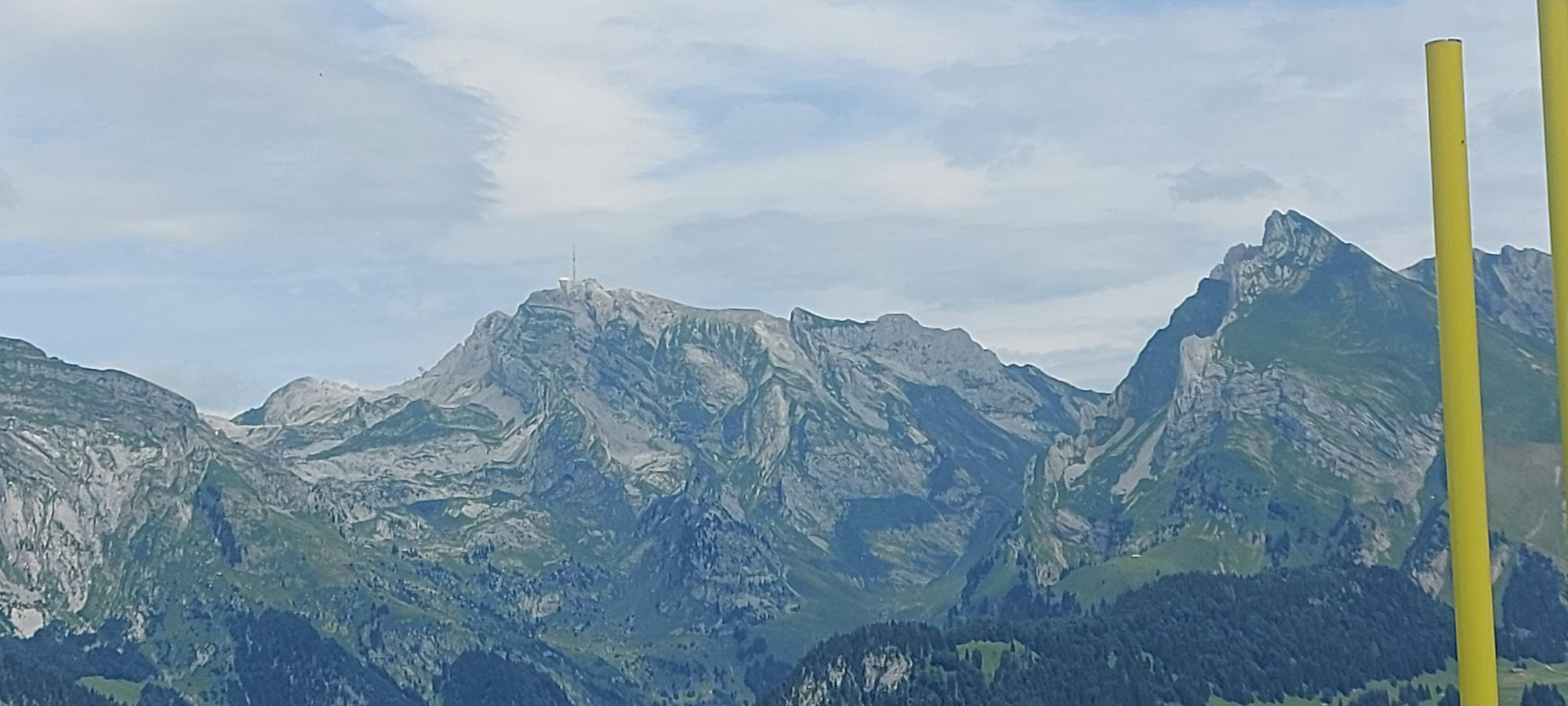
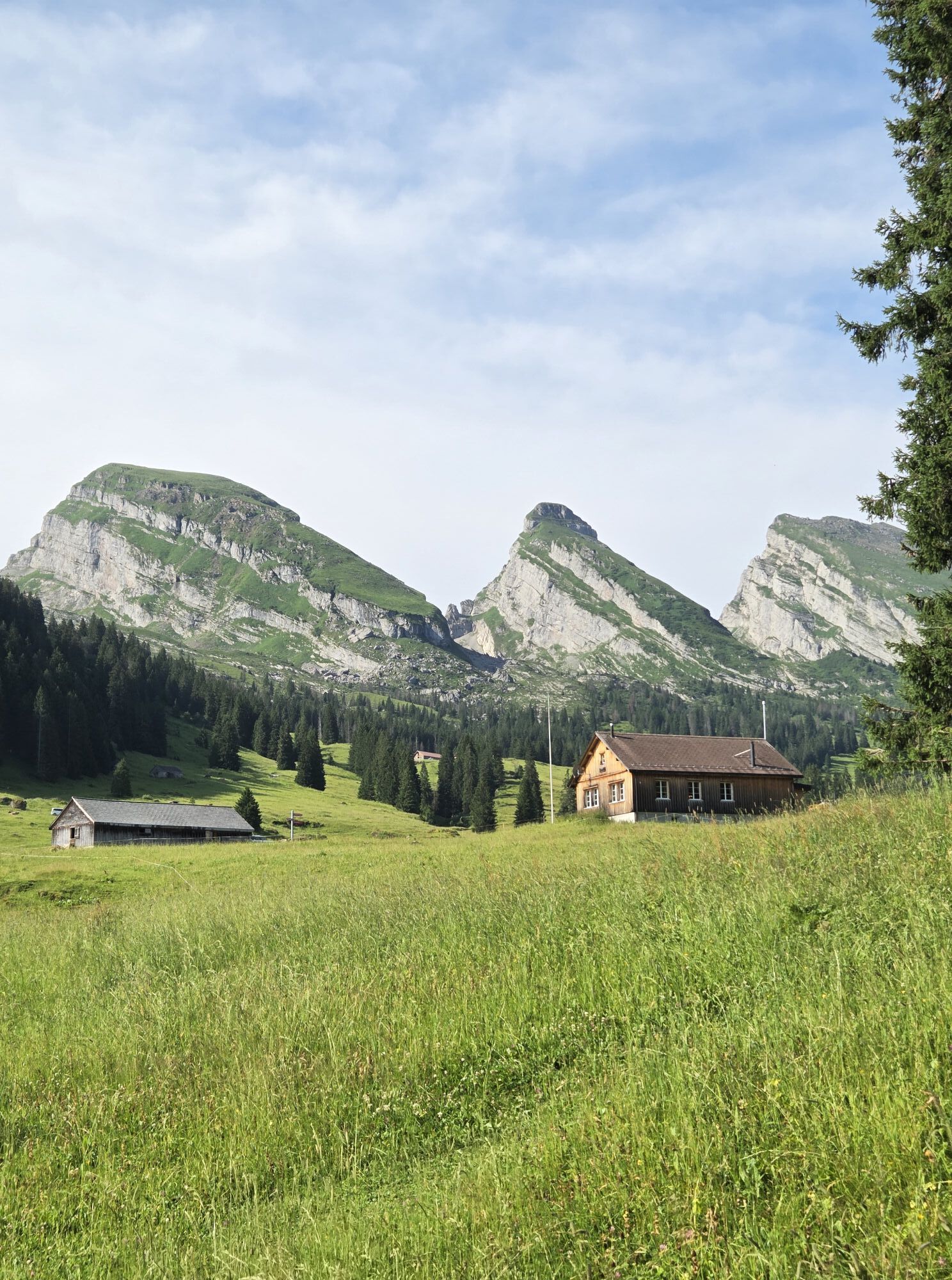
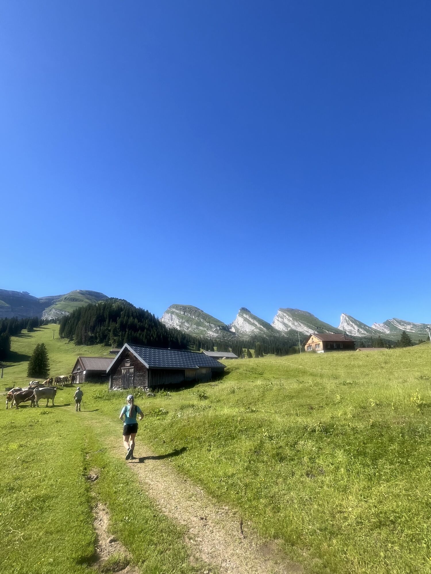
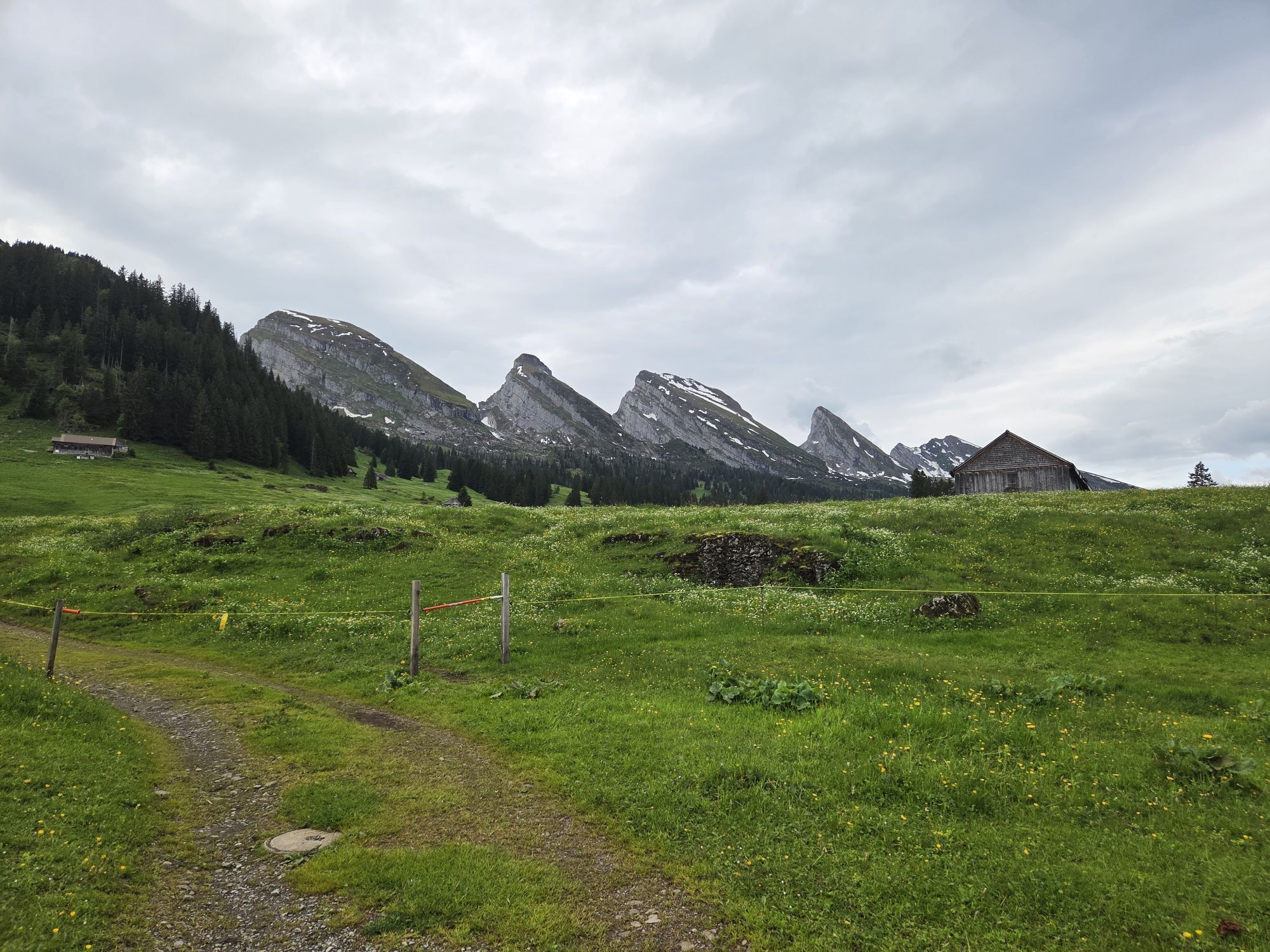
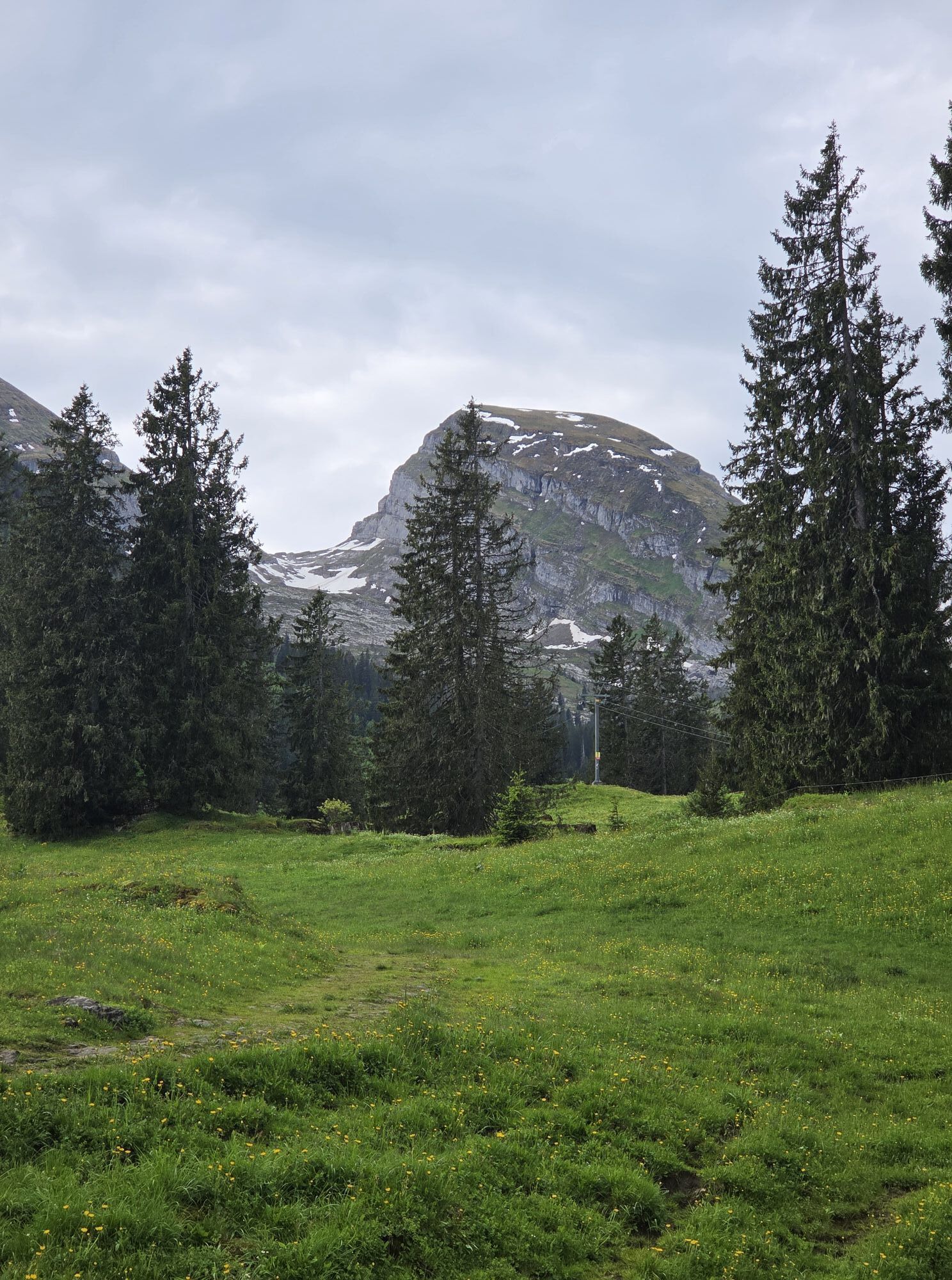
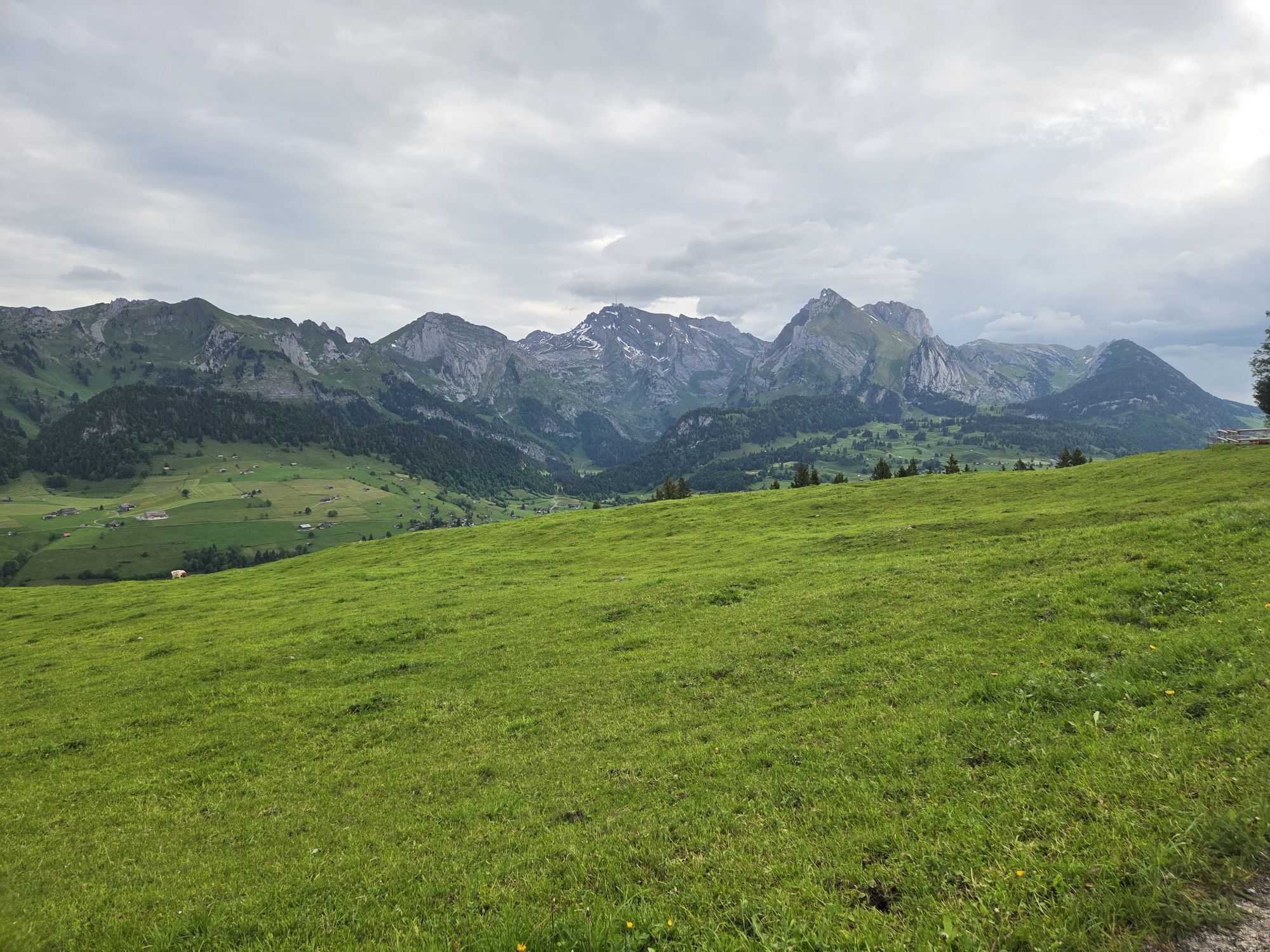
The Sellamatt–Zinggen Trail leads in a large loop over the Alp Sellamatt, a high plateau that lies in front of the Churfirsten at half height between the valley and the summit. The rough karst landscape...
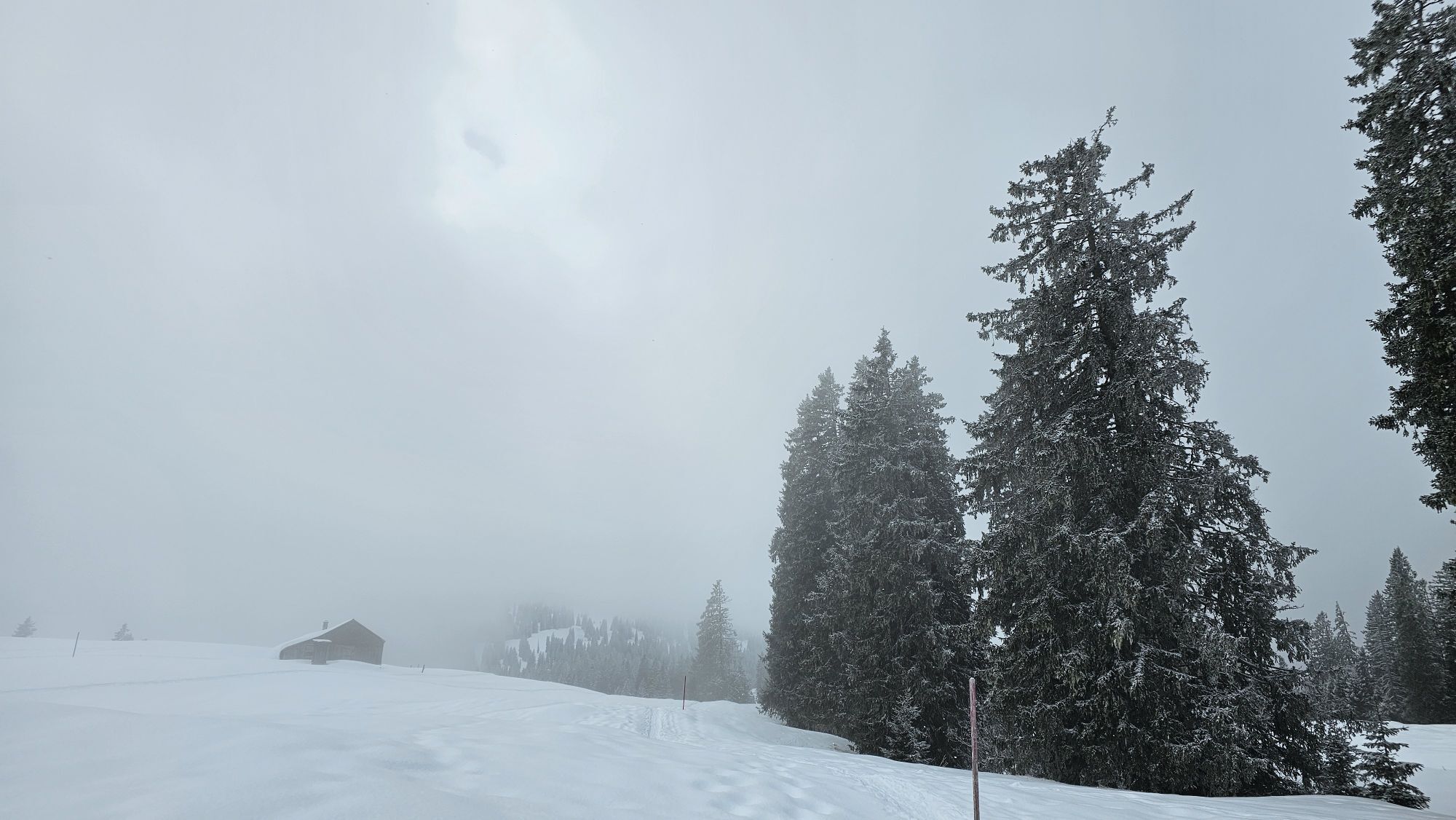
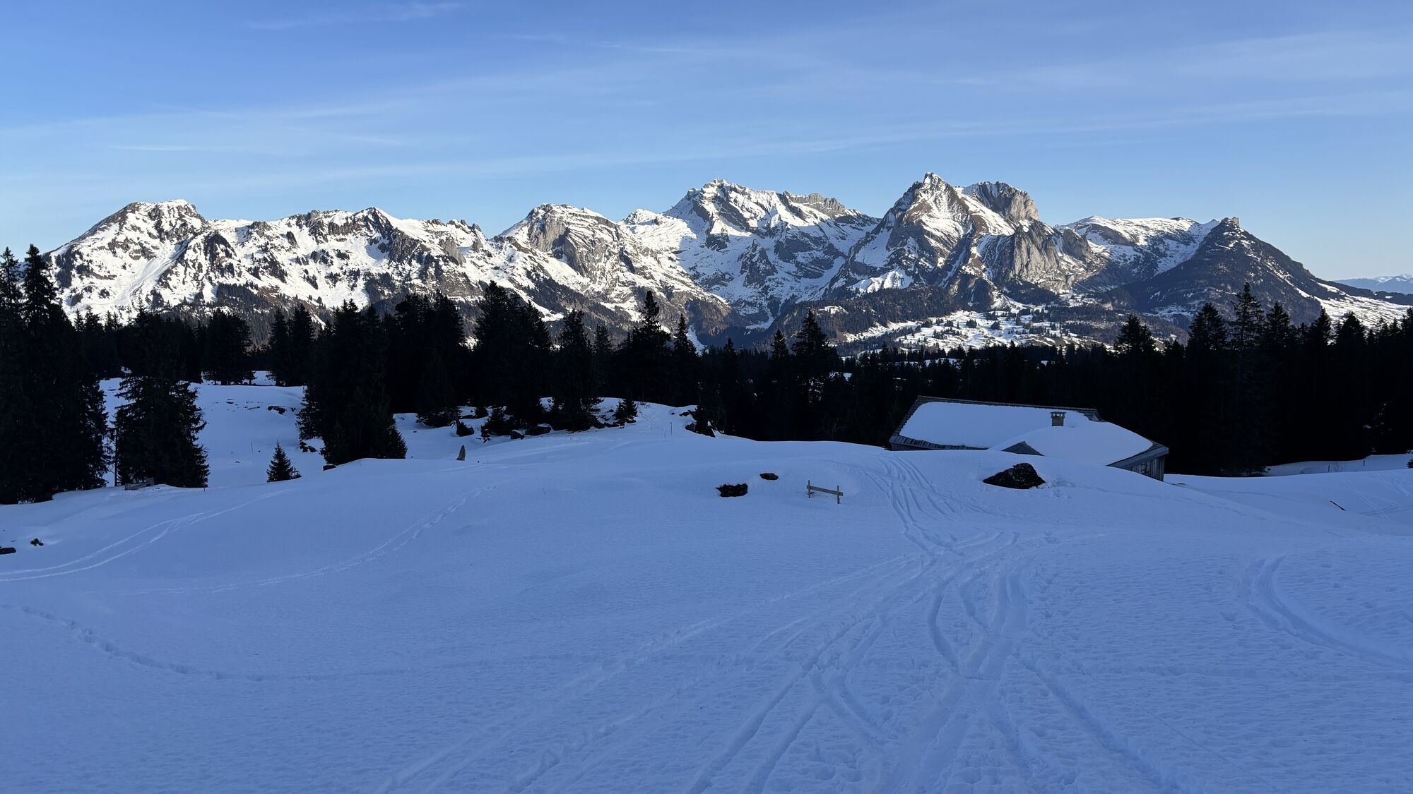
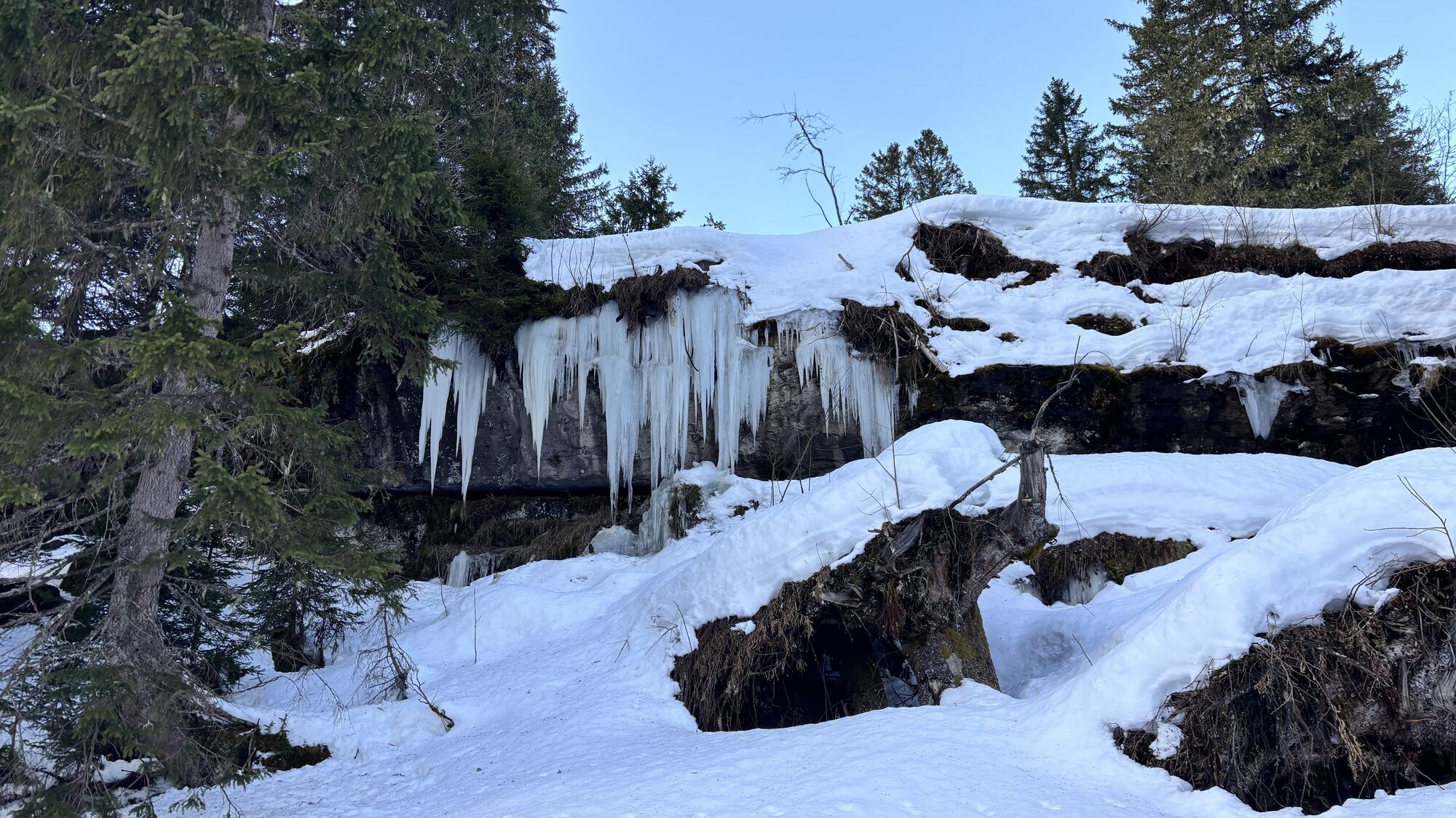
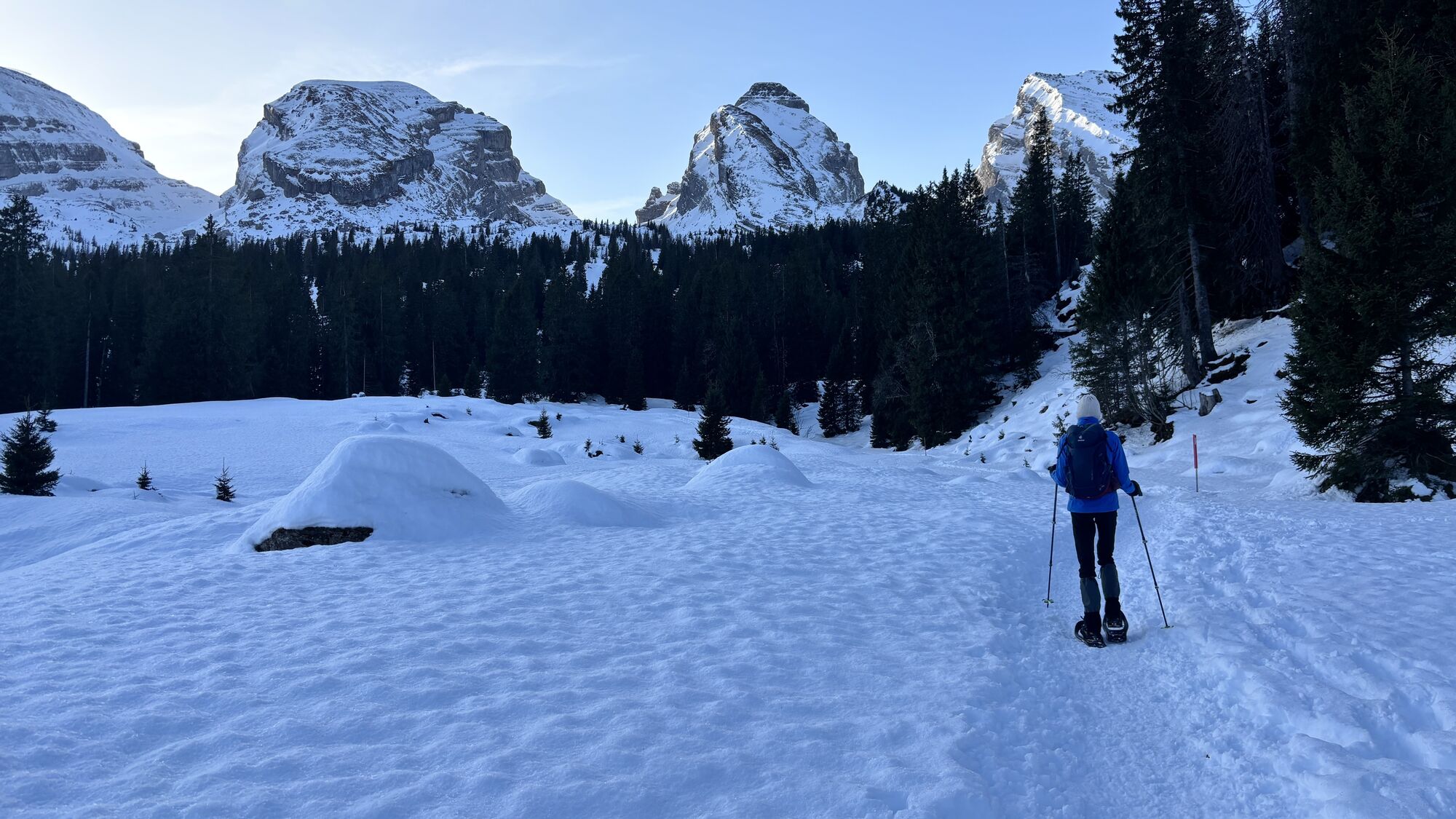
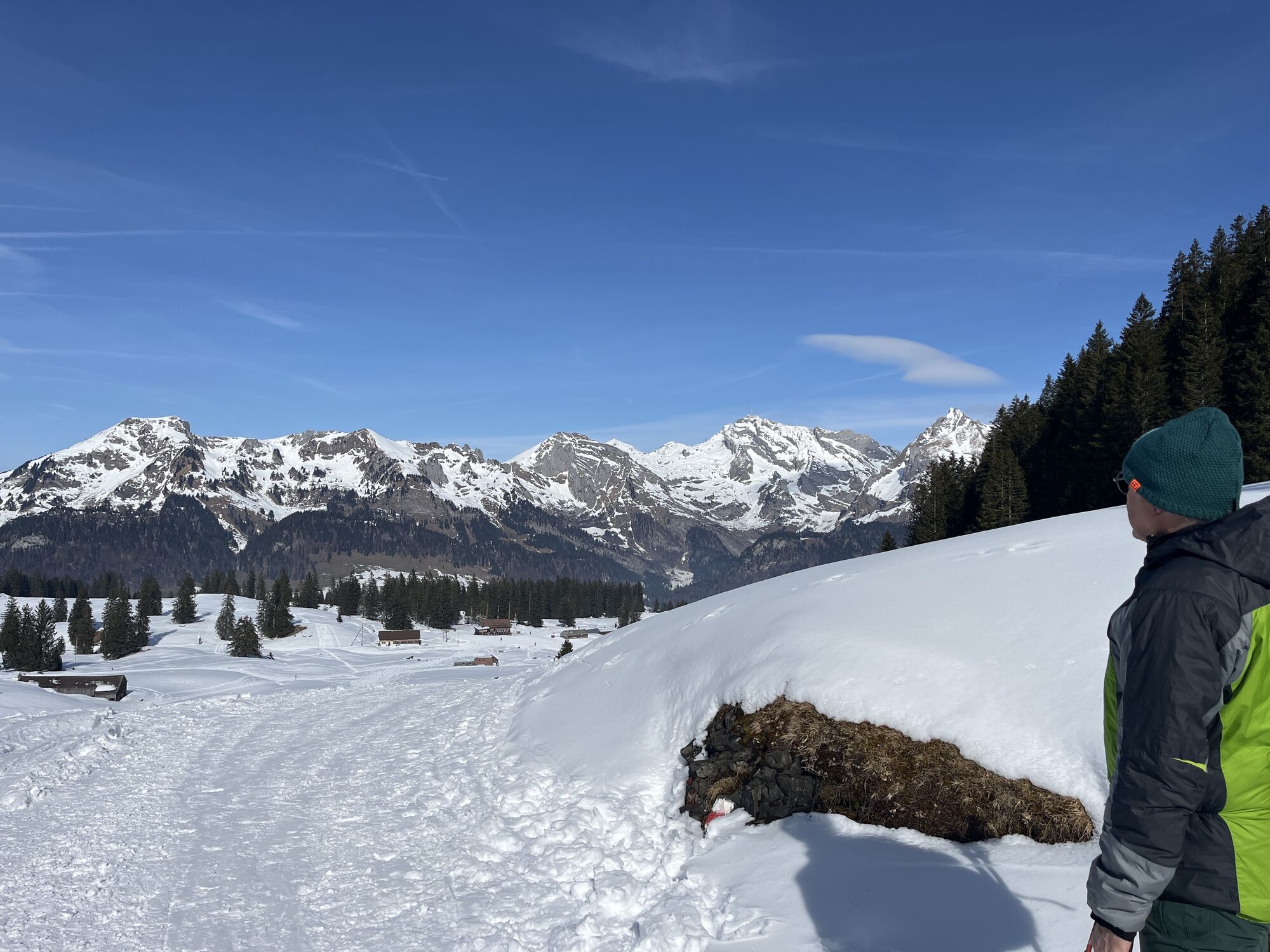
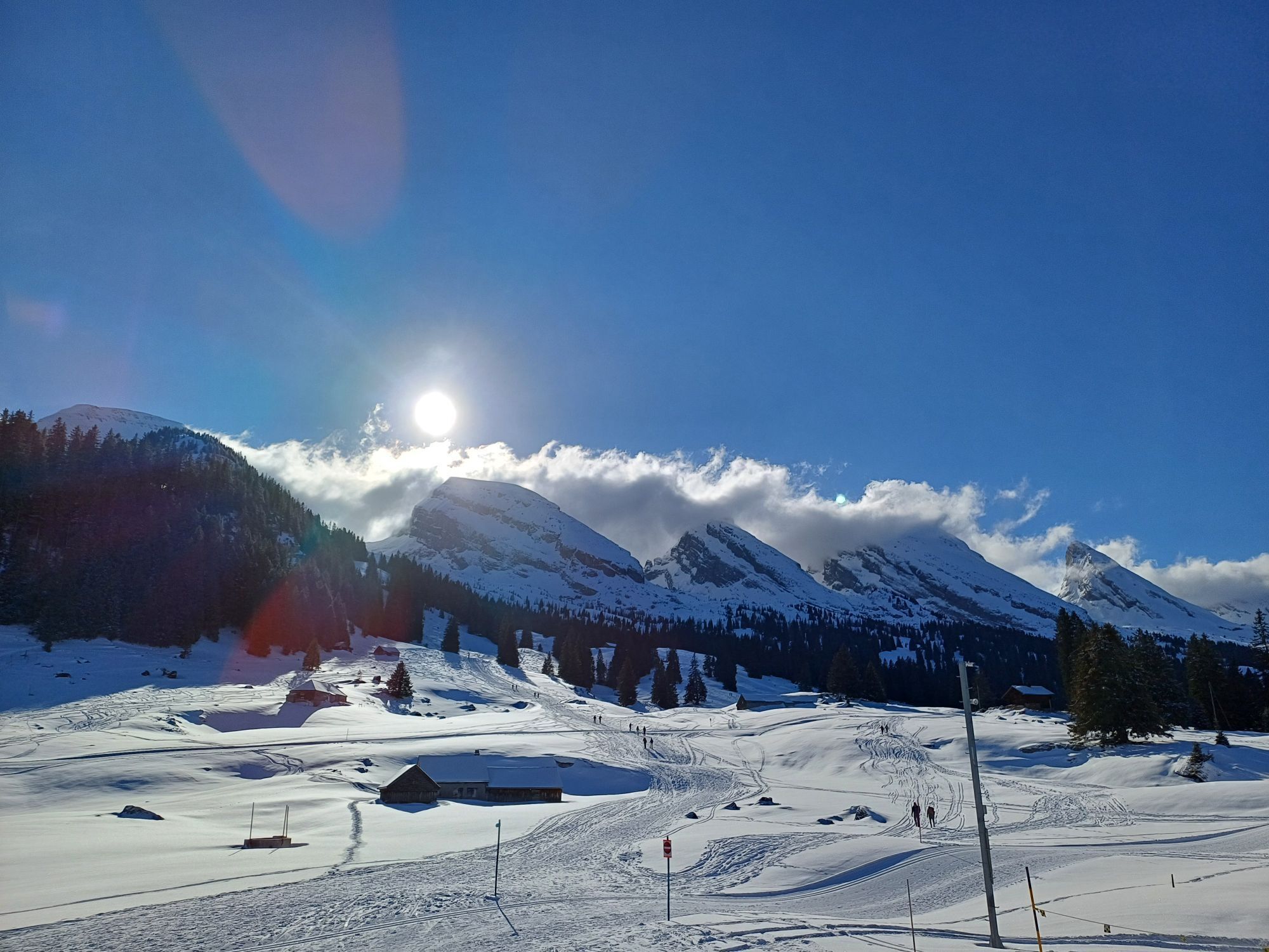
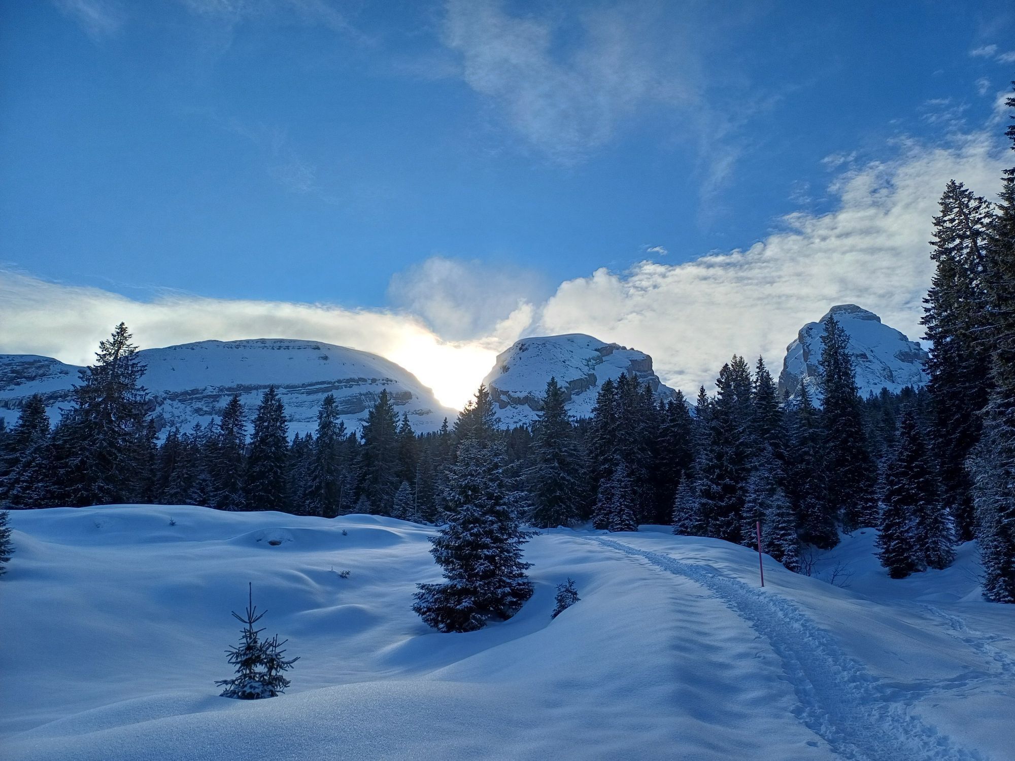
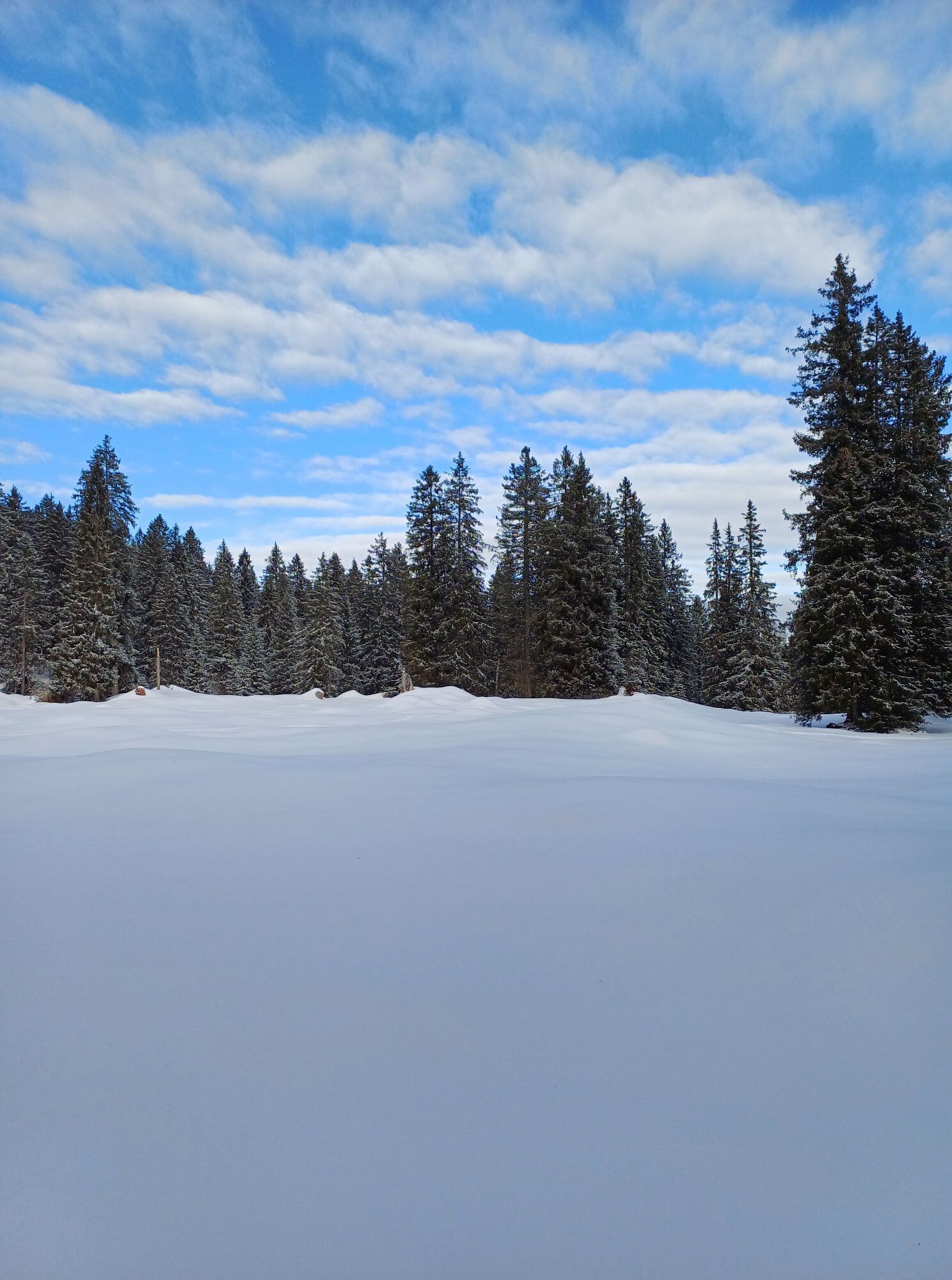
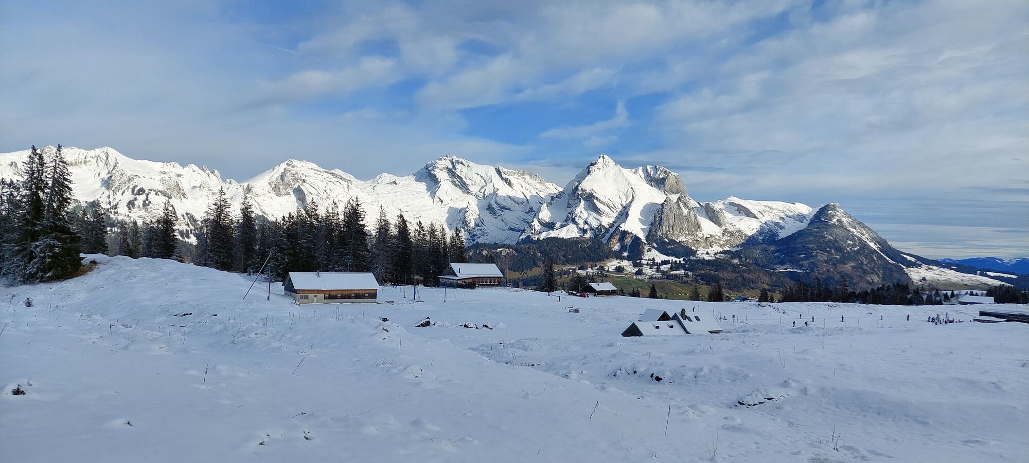
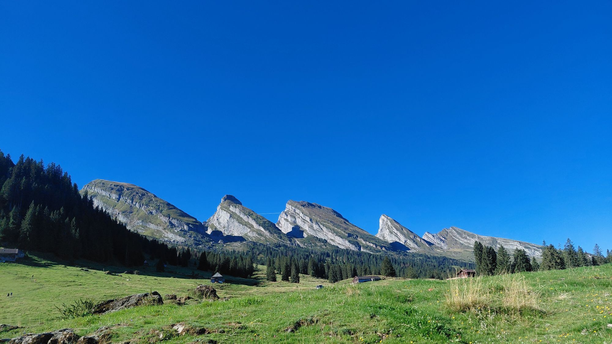
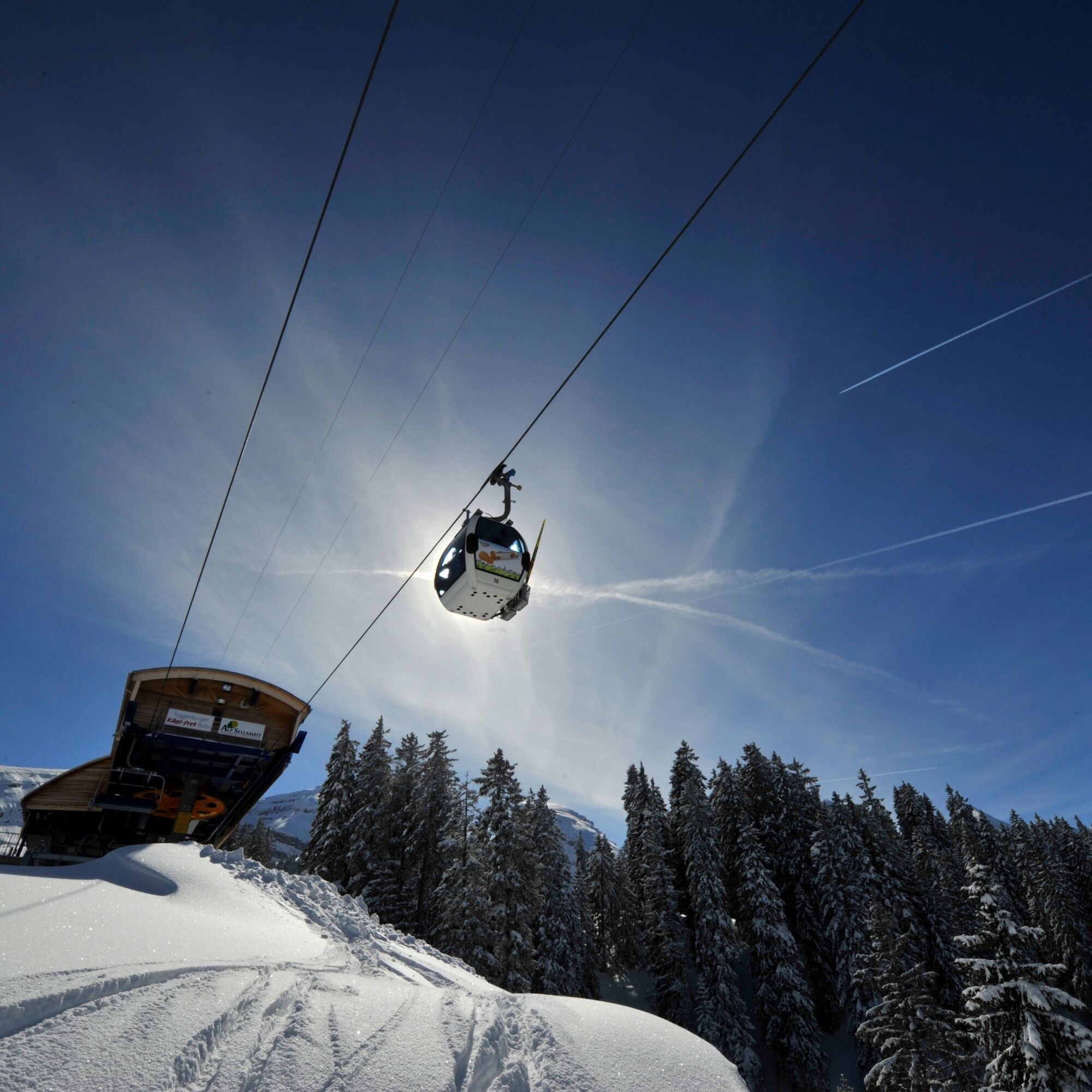
The Sellamatt–Zinggen Trail leads in a large loop over the Alp Sellamatt, a high plateau that lies in front of the Churfirsten at half height between the valley and the summit. The rough karst landscape is pierced by numerous caves where the legendary Wildmannli once hid. Under the winter snow cover, the spruce-lined alpine pastures present their gentle side. Peace and untouched nature characterize the landscape. Uphill, the characteristic seven peaks of the Churfirsten are in view. On the return way, the Alpstein with the Säntis and the impressive Wildhauser Schafberg rise behind the alpine landscape. The start point at Alp Sellamatt is reached with the gondola from Alt St. Johann. The route ends at the cozy Zinggen pub.

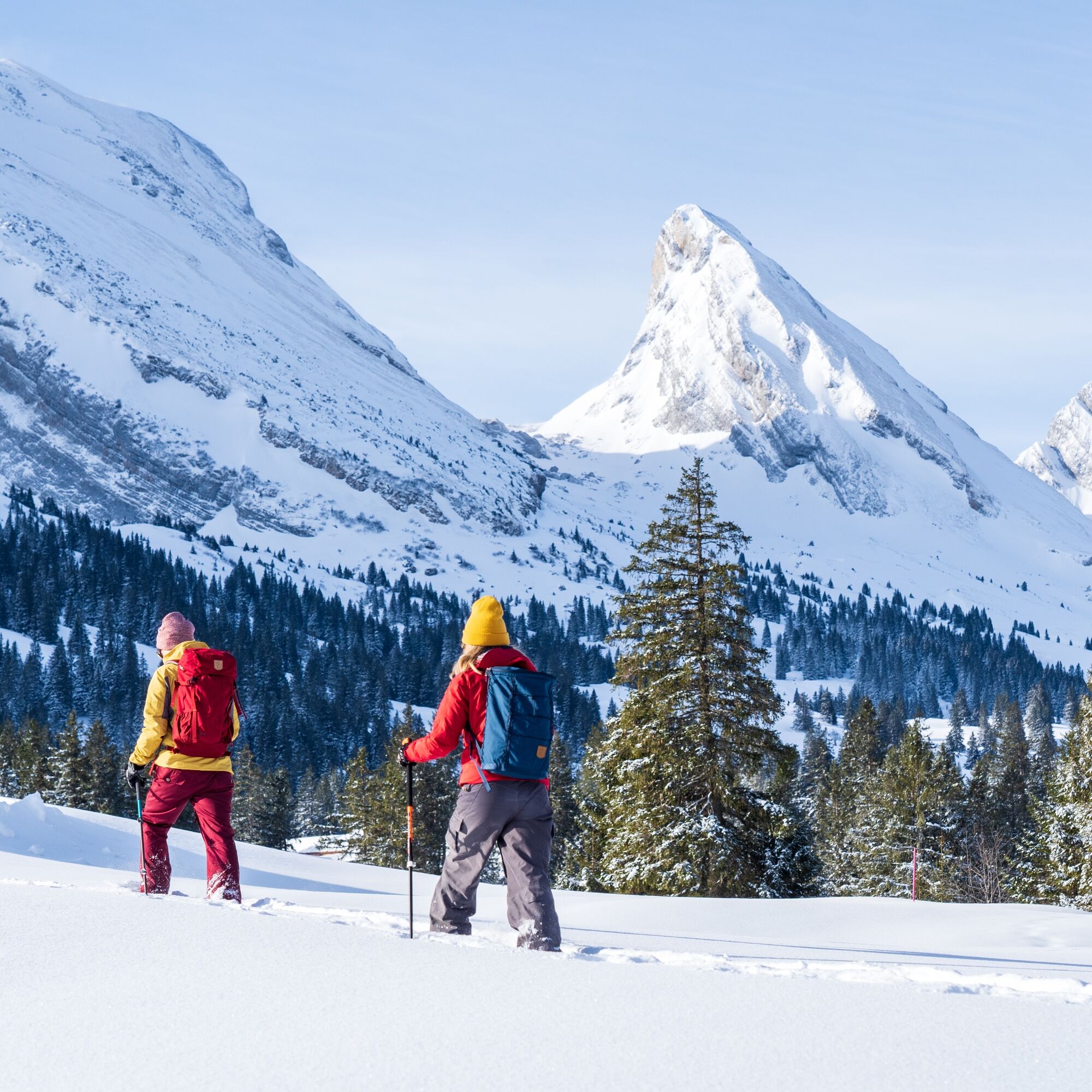

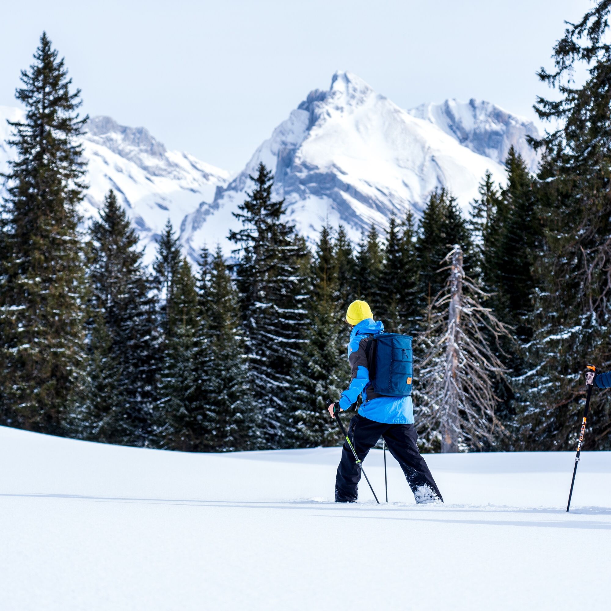
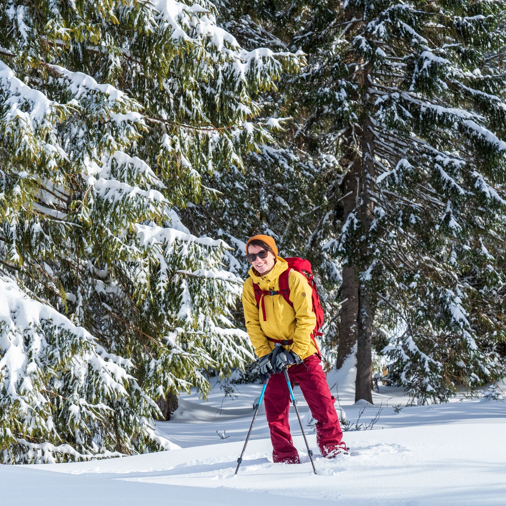

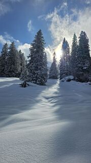
Follow the pink signposts with the number 721.
Tak
Tak
Snowshoes, telescopic poles with large baskets, avalanche equipment with transceiver, probe and shovel, day hiking backpack (approx. 30 liters) with rain cover, possibly with avalanche airbag, comfortable and waterproof winter boots or sturdy hiking boots that fit into the snowshoe bindings, possibly gaiters, warm and durable clothing in a multi-layer principle, ski jacket and pants, hat / headband, scarf, gloves, possibly ski goggles, sun and rain protection, provisions and drinking water, thermos with hot drink, first aid kit, pocket knife, mobile phone
The snowshoe trail is continuously signposted. (SwitzerlandMobil route number 721)
Take the A3 at Reichenburg towards Rapperswil and then over the Ricken Pass to Wattwil. Then up through Toggenburg to Alt St. Johann. From Eastern Switzerland:
From St. Gallen to Herisau and further over Wasserfluh to Lichtensteig. Or from St. Gallen to Wil, take the Toggenburg exit. Follow the main road to Alt St. Johann. From the southern German area:
Via Bregenz and St. Margrethen on the A13 to Haag and take the exit towards Toggenburg/Wildhaus. Or via Konstanz to Wil, then take the Toggenburg exit and follow the main road to Alt St. Johann.
By train to Nesslau Neu St. Johann station and then by bus to Alt St. Johann village.
From the Rhine Valley by train to Buchs SG station and then by bus to Alt St. Johann village.
Parking lots are available at the valley station of the Sellamatt cable car.
The operating hours of the mountain railways can be found here.
The status of the snowshoe trail is provided by the snow report.
Toggenburg Tourism
Hauptstrasse 104
9658 Wildhaus
+41 71 999 99 11
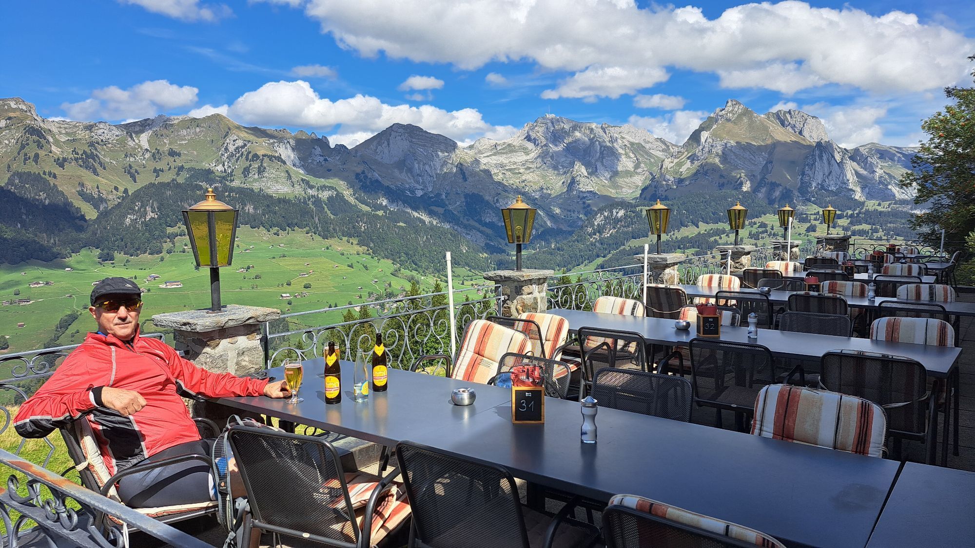
A break on one of the sun terraces with a view of the seven Churfirsten.



Kamery internetowe z trasy


Popularne wycieczki w okolicy
-
4,8
Walensee Riviera Weesen - Quinten
średniWędrówka 10,2 km -
4,7
Riviera Lake Walen Walenstadt-Quinten
średniWędrówka 10,4 km -
4,6
Weesen - Quinten - Walenstadt
ciężkiWędrówka 20,6 km -
5,0
Staubern-Runde (15.8.2021)
średniWędrówka 8,65 km -
4,9
Säntis-Gipfeltour, Wasserauen / Appenzell Innerrhoden
ciężkiWędrówka 21,1 km -
4,8
Tour Brülisau - Saxerlücke - Hoherkasten⛰
ciężkiWędrówka 16,6 km -
4,6
Wasserauen - Seealpsee - Wasserauen
średniWędrówka 7,71 km -
4,6
Säntis
średniWycieczki górskie 17,5 km -
4,5
7-Peak Tour Flumserberg
ciężkiWędrówka 15,0 km -
4,9
Alpine and Cultural Trail Schrina
średniTrasa tematyczna 11,5 km
Wędrówki i tropienie


Nie przegap ofert i inspiracji na następne wakacje
Twój adres e-mail została dodana do listy mailingowej.





