





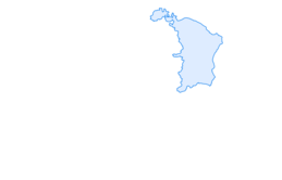

Snowshoe trail Prodalp-Panüöl

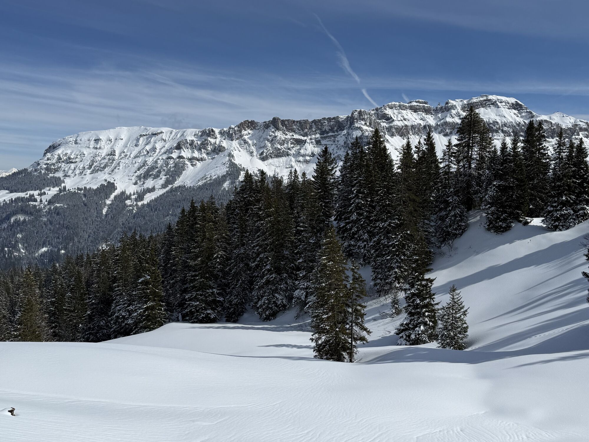
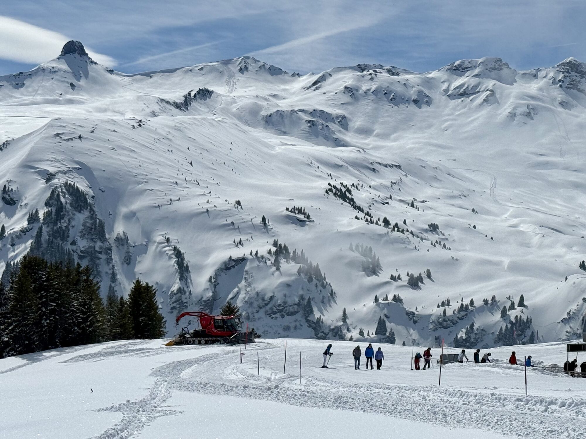
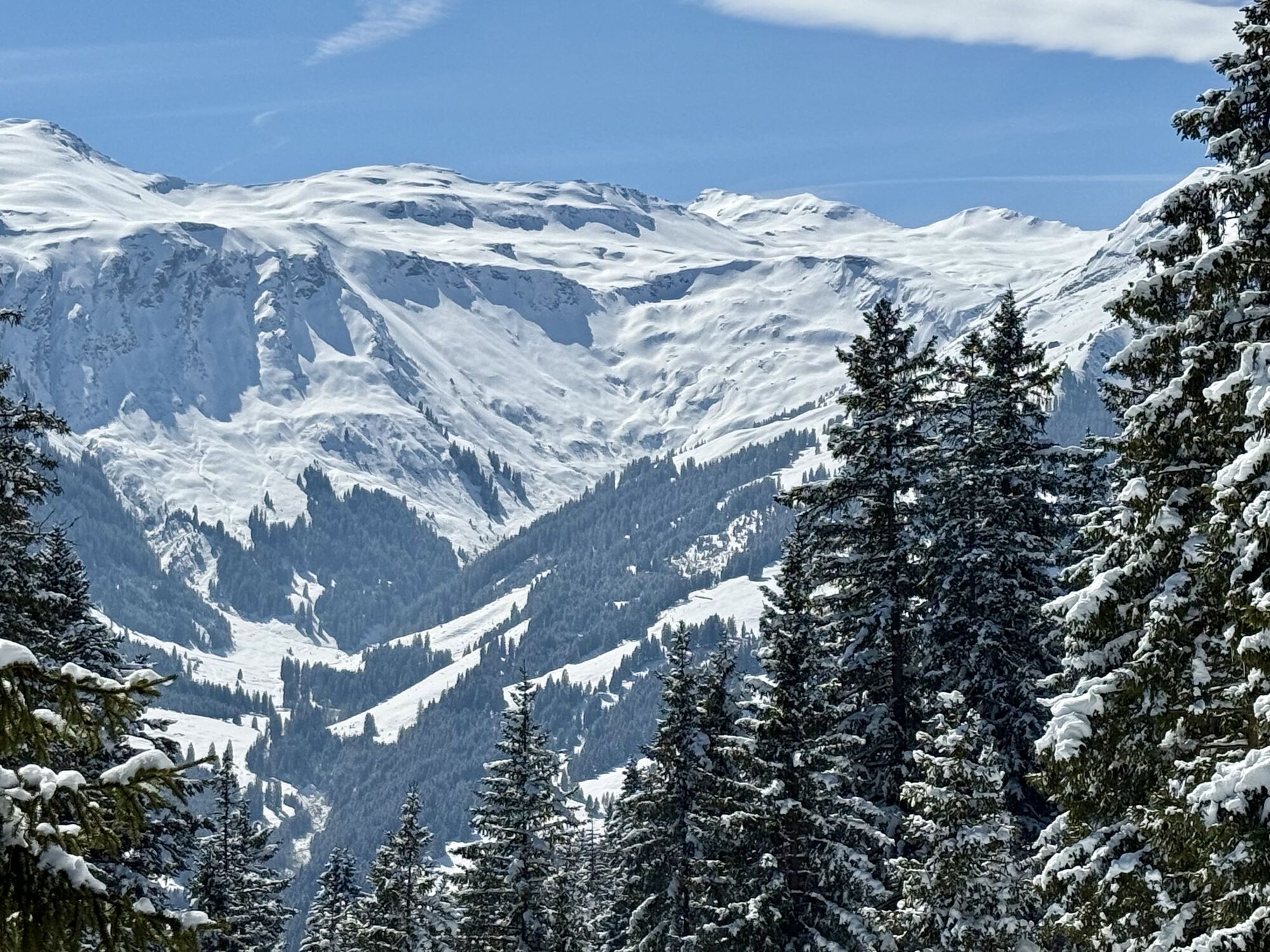
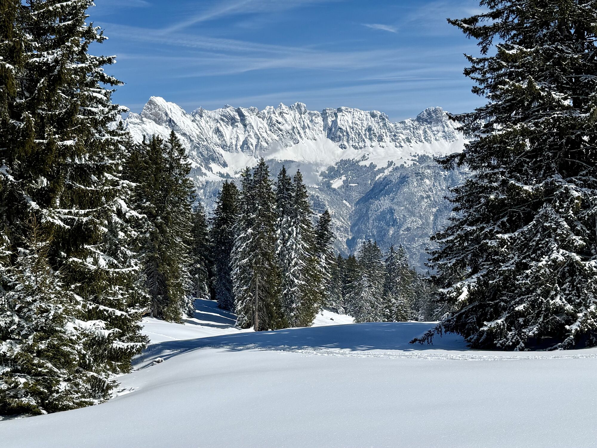
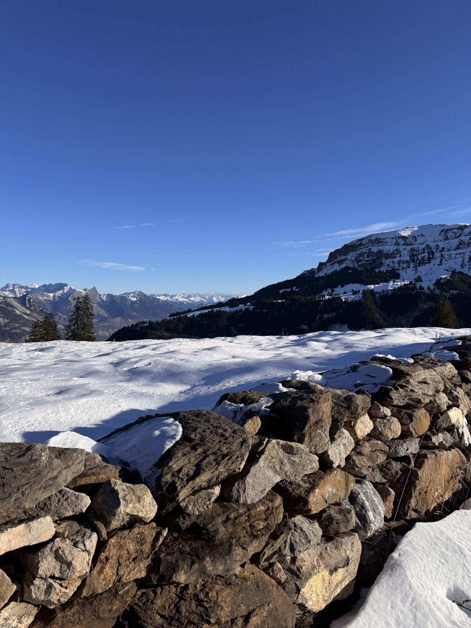
The moderate trail leads us through the snowy landscape and offers the ideal opportunity to explore nature in winter. On the way to Panüöl, there is a small resting bench, which is perfect for a break....
The moderate trail leads us through the snowy landscape and offers the ideal opportunity to explore nature in winter. On the way to Panüöl, there is a small resting bench, which is perfect for a break. Enjoy the unique view, peace, and idyll.

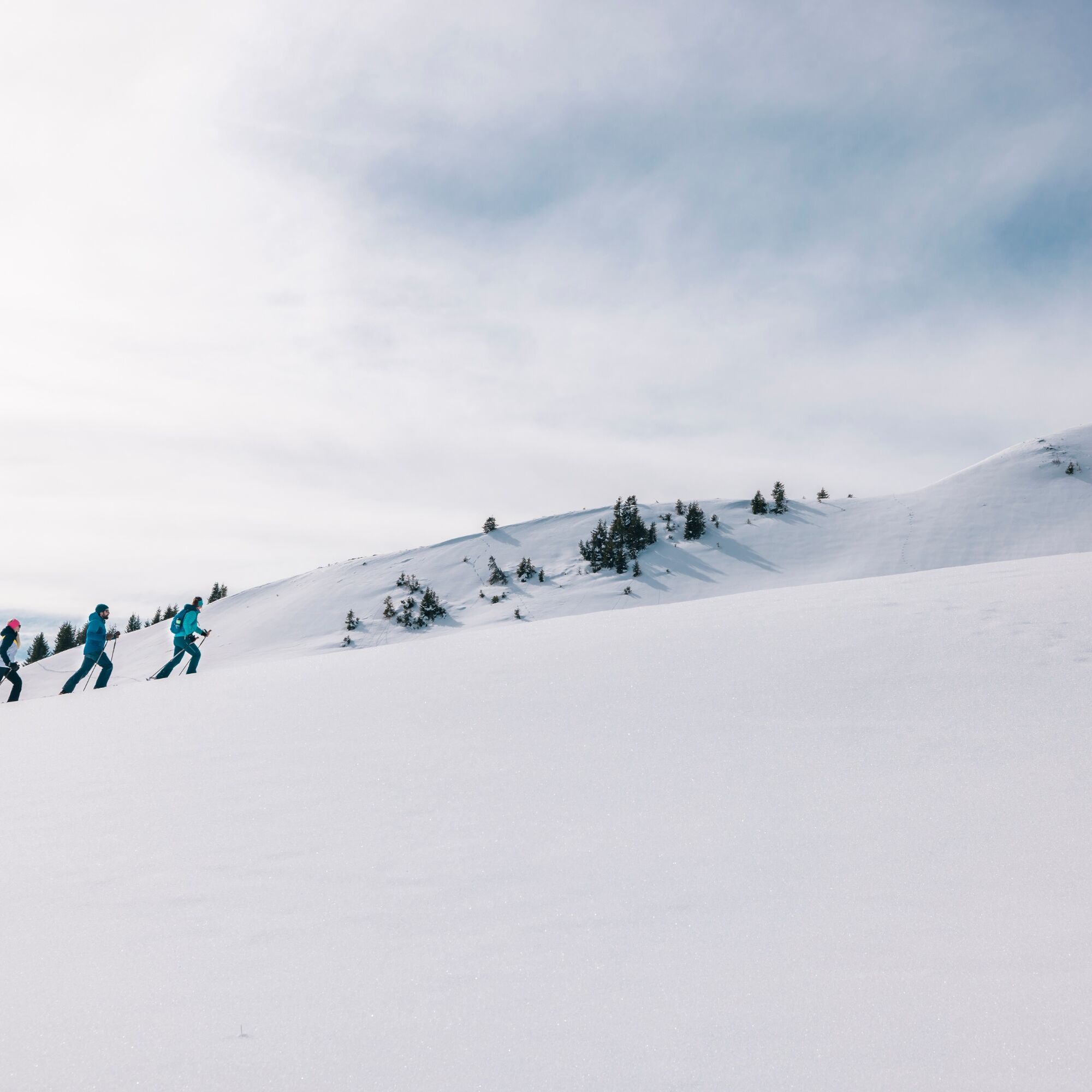
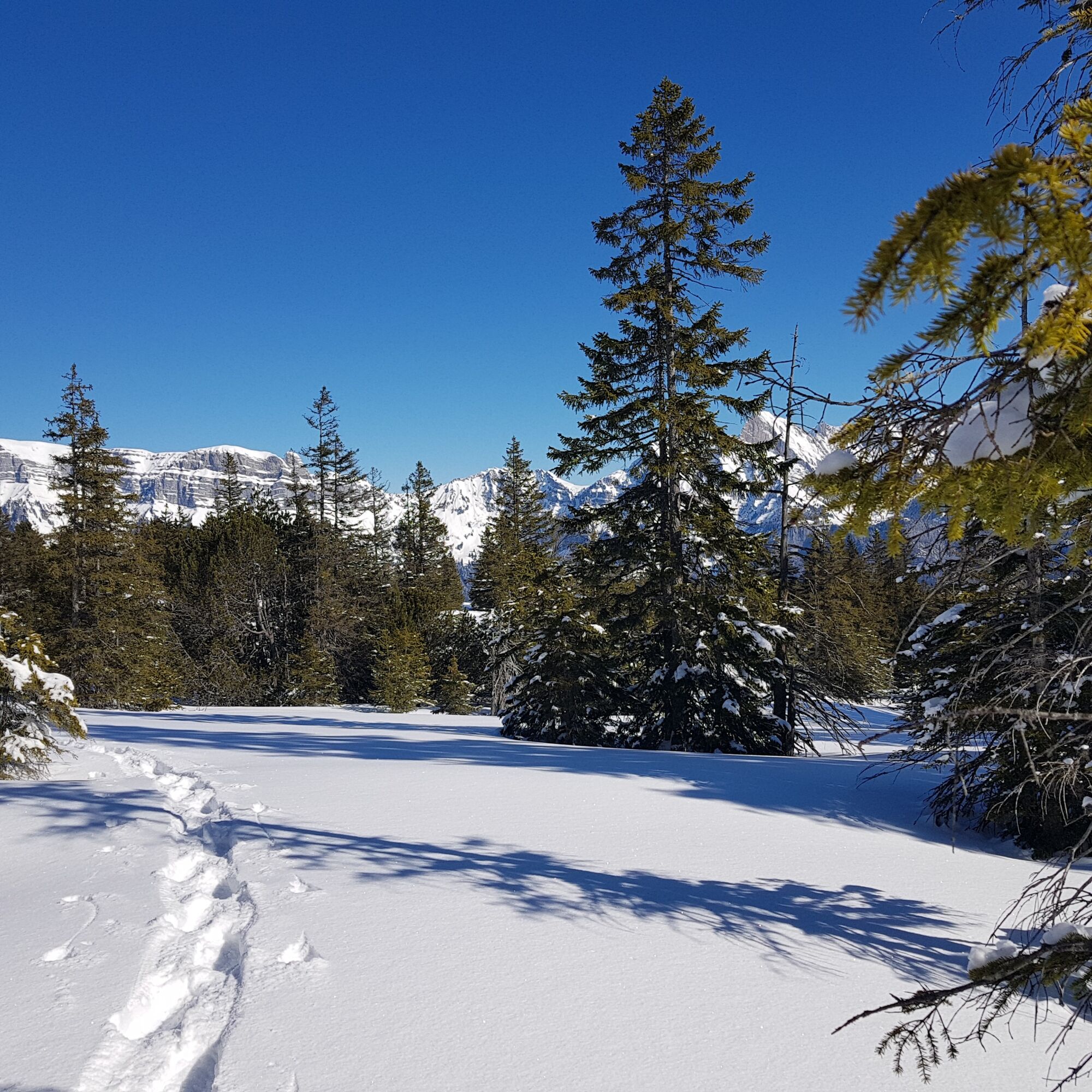
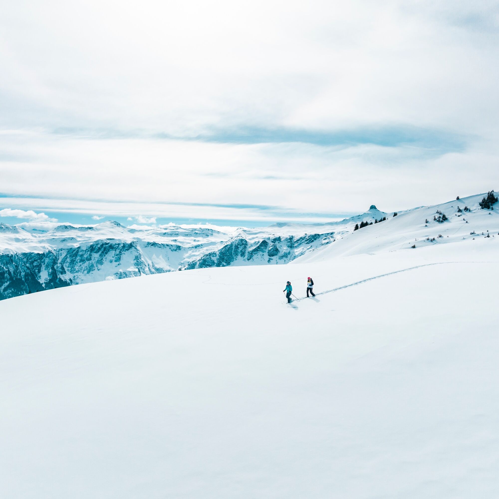
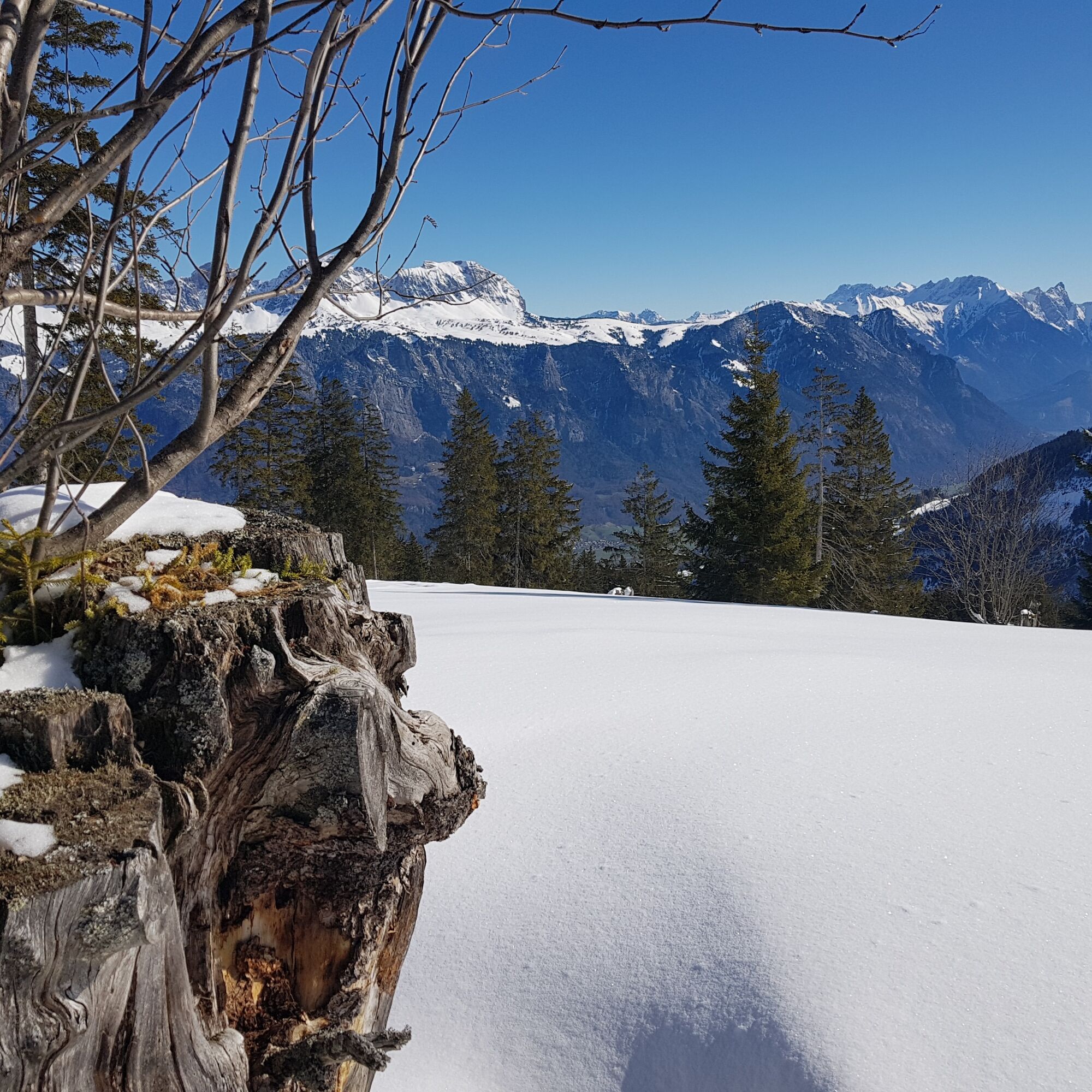
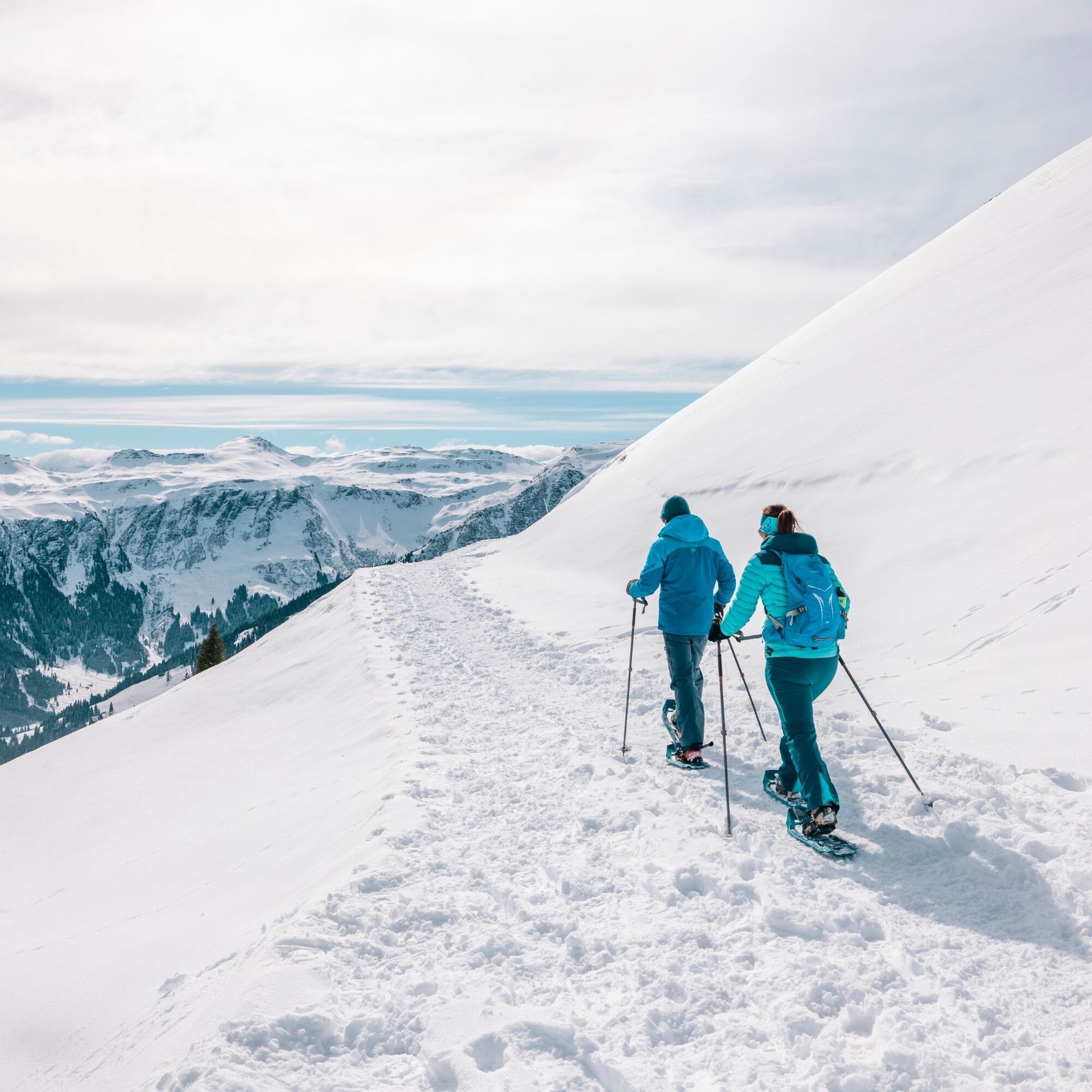
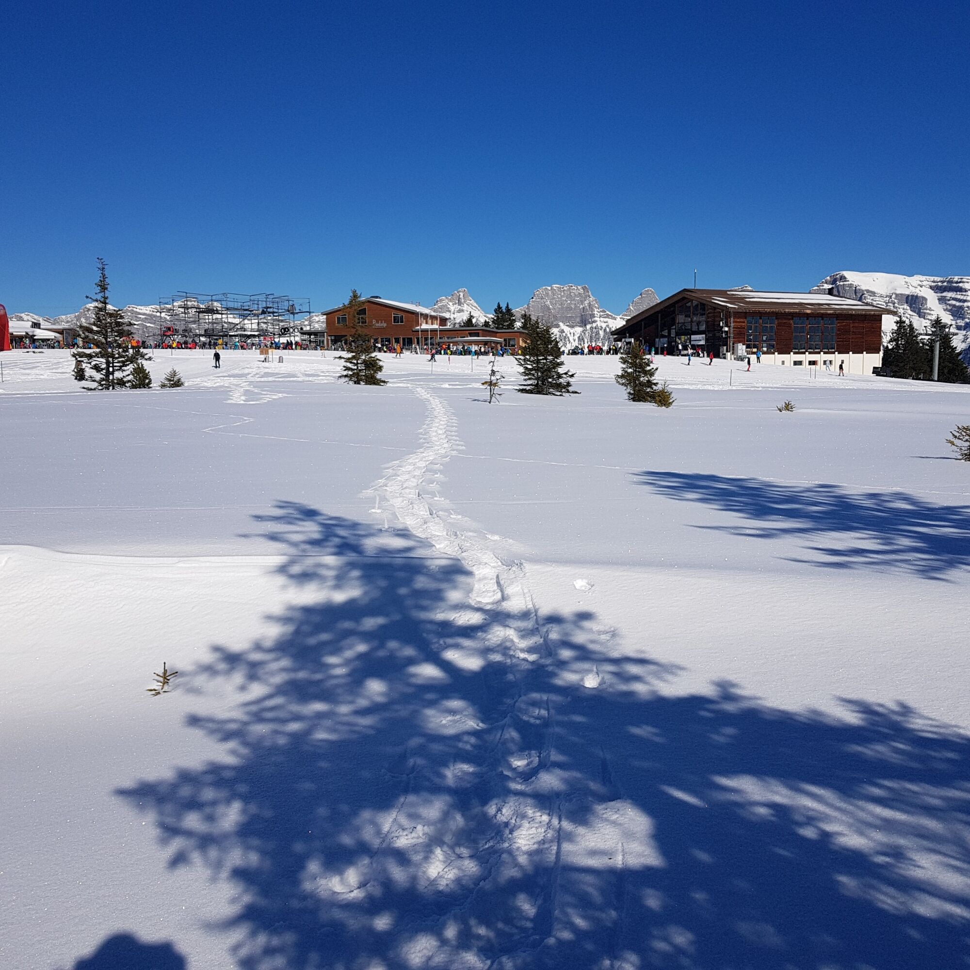
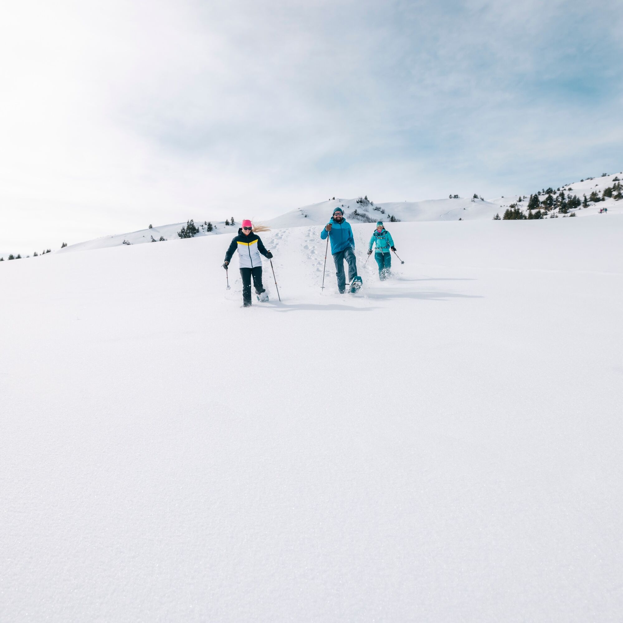

The marked trail starts at Prodalp and first goes flat over the Prodalp plateau and then continuously climbs towards Panüöl. After Rotenberg, we follow the winter hiking trail for a short section and then turn right, following the signs towards Panüöl.
For the return trip, there is the Panüöl-Prodalp snowshoe trail, which leads back to the starting point.
Alternatively, we can take the Panüöl chairlift to Maschgenkamm. From Maschgenkamm, the BergJet takes us down to Tannenboden.
Normal winter sports equipment including snowshoes and possibly poles.
Snowshoes can be rented at Intersport in Flumserberg.
Take the Flums/Flumserberg highway exit and follow the main road towards Flumserberg Tannenboden.
accessible by train and bus
Arrival by train: Arrival by train | Bergbahnen Flumserberg AG
Arrival by car: Arrival by car | Bergbahnen Flumserberg AG
Parking at Flumserberg: Parking (flumserberg.ch)
To get to the start of the snowshoe trail, we travel to Tannenheim. From Tannenheim we take the Prodalp Express to Prodalp. From there we start the snowshoe hike.
Public parking spaces are available at Tannenboden.
The parking spaces are chargeable from 7:00 a.m. to 5:00 p.m. From 5:00 p.m. to 2:00 a.m. you can park your car free of charge.
There is a night parking ban from 2:00 a.m. to 7:00 a.m. There are enough night parking spaces in the Tannenboden car park or in Tannenheim.
The night parking lot can be used for a fee, but camping is not allowed.
Alternative: BikerCamping powered by Aparthotel Edy Bruggmann
Bergbahnen Flumserberg
Molseralpstrasse 9
8898 Flumserberg
T + 41 81 720 15 15
www.flumserberg.ch
Heidiland Tourism
Information point Flumserberg
T +41 81 720 18 18
www.heidiland.com
At the beginning of the route, the mountain restaurant Prodalp still invites you for a warm drink. Enjoy the view of our local mountain, the Spitzmeilen. The Spitzmeilen is known for its impressive shape and has an elevation of 2,501 meters above sea level.

Kamery internetowe z trasy

Popularne wycieczki w okolicy
-
4,8
Walensee Riviera Weesen - Quinten
średniWędrówka 10,2 km -
4,7
Riviera Lake Walen Walenstadt-Quinten
średniWędrówka 10,4 km -
4,6
Weesen - Quinten - Walenstadt
ciężkiWędrówka 20,6 km -
4,7
5-Seen Wanderung am Pizol
światłoWędrówka 10,1 km -
4,5
7-Peak Tour Flumserberg
ciężkiWędrówka 15,0 km -
4,6
Pizol - Batöni - Weisstannen
ciężkiWędrówka 11,7 km -
4,9
Alpine and Cultural Trail Schrina
średniTrasa tematyczna 11,5 km -
4,7
Alvier
średniWędrówka 3,33 km -
4,5
4-Summit-Route Flumserberg
średniWędrówka 8,65 km -
4,9
Fronalpstock GL
średniWędrówka 7,84 km
Wędrówki i tropienie


Nie przegap ofert i inspiracji na następne wakacje
Twój adres e-mail została dodana do listy mailingowej.





