





Snowshoe hike to Tanzboden

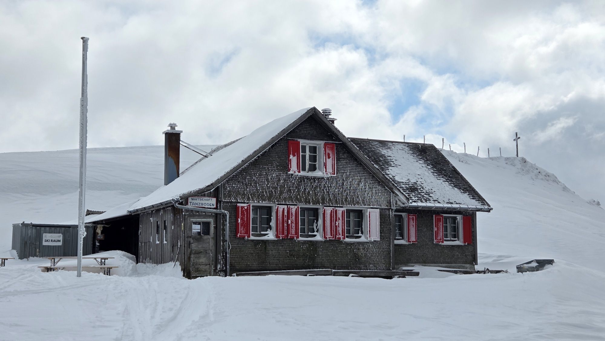
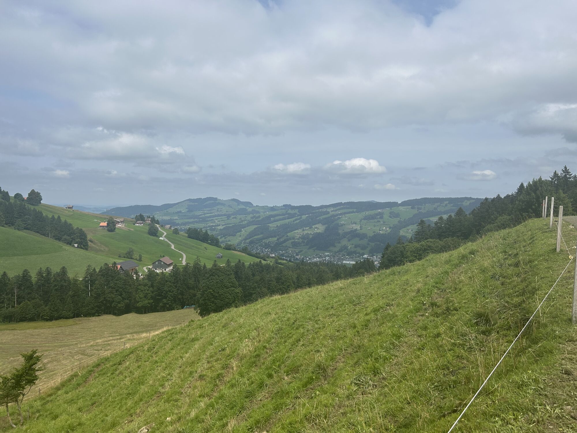
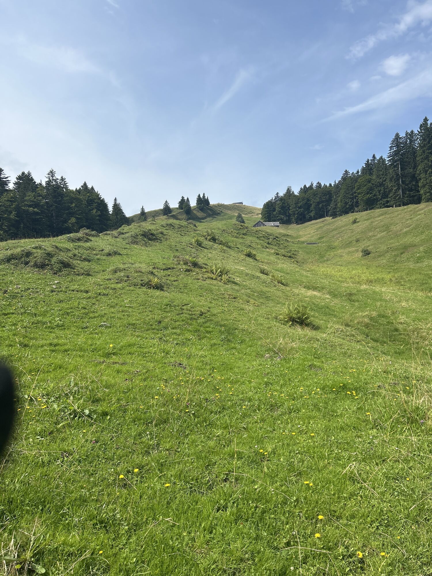
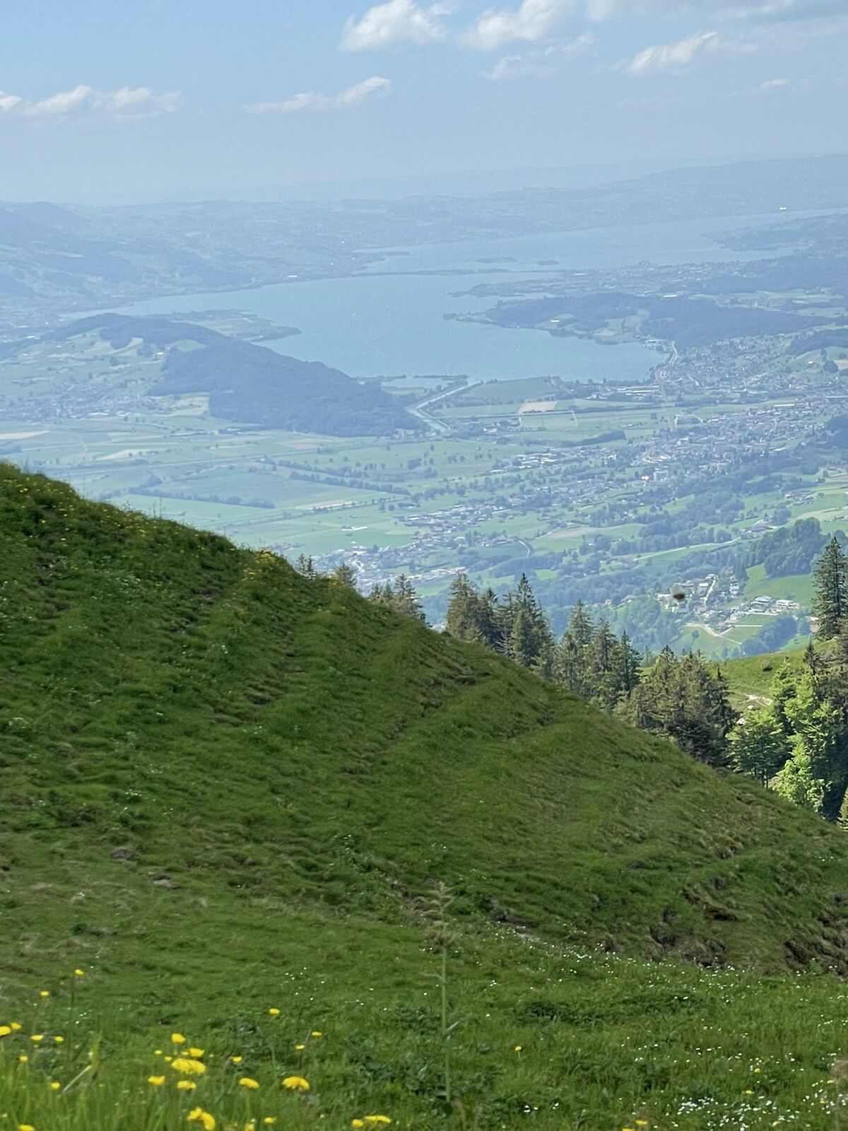
Why the destination of this pre-Alpine hike is called Tanzboden is unknown – but you will surely dance in spirit when you reach the destination and enjoy the beautiful view.
At the beginning of this snowshoe...
Why the destination of this pre-Alpine hike is called Tanzboden is unknown – but you will surely dance in spirit when you reach the destination and enjoy the beautiful view.
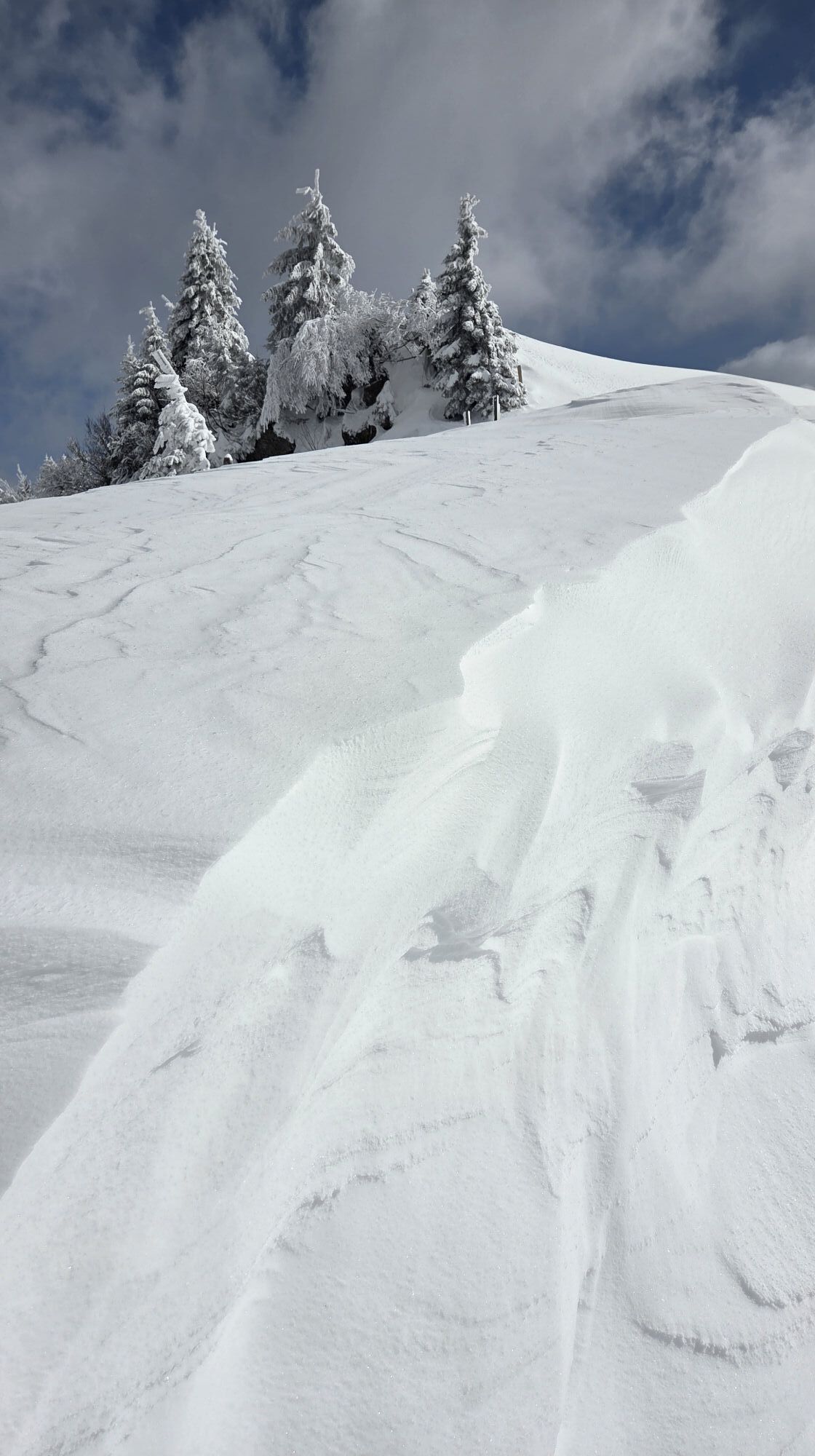
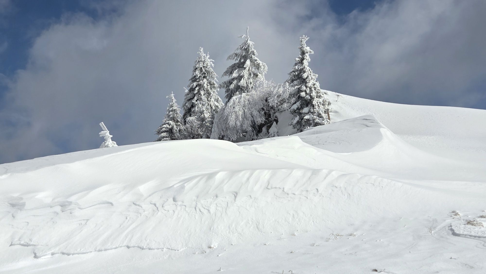
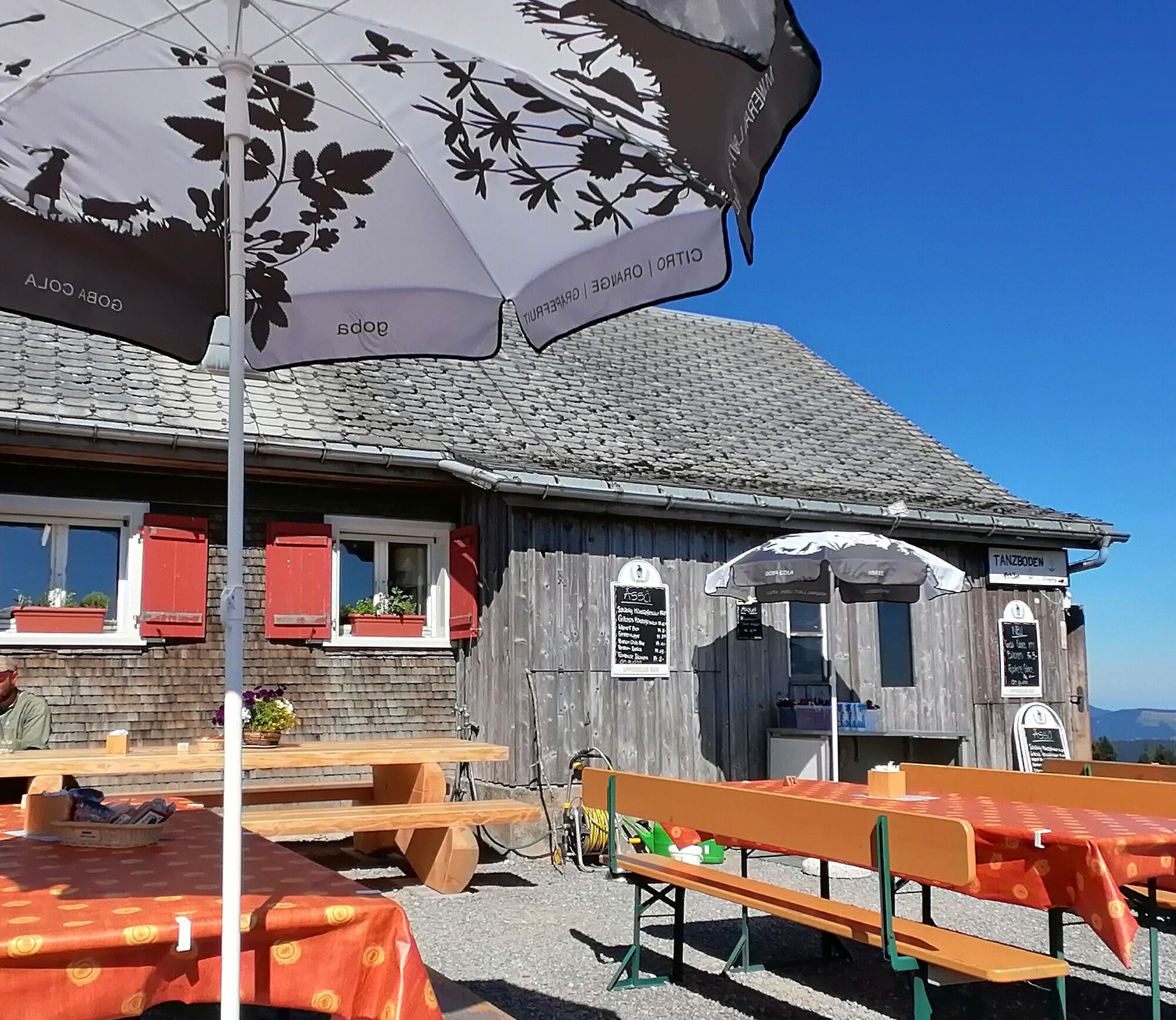
At the beginning of this snowshoe hike, you have to overcome 250 meters of altitude in varied landscape, over gentle hills until you reach the valley station of the Tanzboden ski lift. After the easy warm-up, the steeper ascent begins here. The route leads from the valley station of the ski lift up via Stangen, Stotzweid towards Tanzboden. On the last ascent, you walk on the broad ridge between snow-covered spruces and calmly make your track through the white splendor. At 1443 m above sea level, the highest point of the hike is reached and a hot drink at the Tanzboden alpine inn strengthens you for the descent. From here you have a wonderful view over the Toggenburg valley uphill and downhill as well as over Lake Zurich and the Glarus Alps. For the descent, you first head east, then north under the snowshoes. You start by walking through the snow-covered forest and then over open hills to the Nestel guesthouse. From here you can comfortably hike down to Ebnat-Kappel or head towards Dicken to the valley station of the ski lift.




Ebnat-Kappel station - valley station ski lift Tanzboden - Stangen - Stotzweid - Chüebodenegg - Tanzboden - Abschlagen - Nestel - Nestenberg - Ebnat-Kappel station
Snowshoes, telescopic poles with large baskets, day hiking backpack (approx. 30 liters) with rain cover, optionally with avalanche airbag, comfortable and waterproof winter shoes or sturdy hiking boots that fit into the snowshoe bindings, optionally gaiters, warm and durable clothing in layers, ski jacket and pants, hat / headband, scarf, gloves, optionally ski goggles, sun and rain protection, provisions and drinking water, thermos with hot drink, first aid kit, pocket knife, mobile phone, optionally headlamp and reflectors, maps, optionally bivouac sack and rescue blanket
Take the A3 at Reichenburg towards Rapperswil and then over the Ricken Pass to Wattwil and finally to Ebnat-Kappel. From Eastern Switzerland:
From St. Gallen to Herisau and further over Wasserfluh to Lichtensteig. Or from St. Gallen to Wil, take the Toggenburg exit. Follow the main road to Ebnat-Kappel. From the Southern German region:
Via Bregenz and St. Margrethen on the A13 to Haag and take the exit towards Toggenburg/Wildhaus. Or via Konstanz to Wil, then take the Toggenburg exit and follow the main road to Ebnat-Kappel.
By train from Zurich / St. Gallen to Ebnat-Kappel station or from Buchs with the PostBus to Nesslau and then by train to Ebnat-Kappel station.
Toggenburg Tourism Main Road 104
CH-9658 Wildhaus
Tel: +41 (0)71 999 99 11
Email: info@toggenburg.swiss
Internet: www.toggenburg.swiss

Kamery internetowe z trasy

Popularne wycieczki w okolicy
-
4,8
Walensee Riviera Weesen - Quinten
średniWędrówka 10,2 km -
4,6
Weesen - Quinten - Walenstadt
ciężkiWędrówka 20,6 km -
4,6
Amden - Speer (Rundkurs)
światłoWędrówka 17,6 km -
4,8
Arvenbüel - Egg - Alp Looch - Leistchamm
średniWędrówka 11,4 km -
4,2
Schnebelhorn Rundwanderung
średniWędrówka 11,9 km -
3,8
Seerenbach Falls and Rin spring
światłoWędrówka 4,38 km -
5,0
Ski tour on the Selun
ciężkiWycieczka narciarska 11,8 km -
5,0
Snowshoe route from Sellamatt to the Zinggen pub via Mittelstofel
średniRakieta do chodzenia po śniegu 4,89 km -
4,5
Winter hiking Wintersagenweg Toggenburg
średniWędrówka zimą 8,72 km -
4,5
Filzbach - Talalpsee - Habergschwänd
średniWędrówka 7,45 km
Wędrówki i tropienie


Nie przegap ofert i inspiracji na następne wakacje
Twój adres e-mail została dodana do listy mailingowej.





