





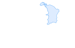

E-bike & hike - Murgsee
Poziom trudności: 2
E-bike route to Mornen (21 km, 3h 15min, round trip)
The adventure journey starts immediately at Murg station. From there, the path leads into the idyllic Murg valley. Let yourself be enchanted by the...
E-bike route to Mornen (21 km, 3h 15min, round trip)
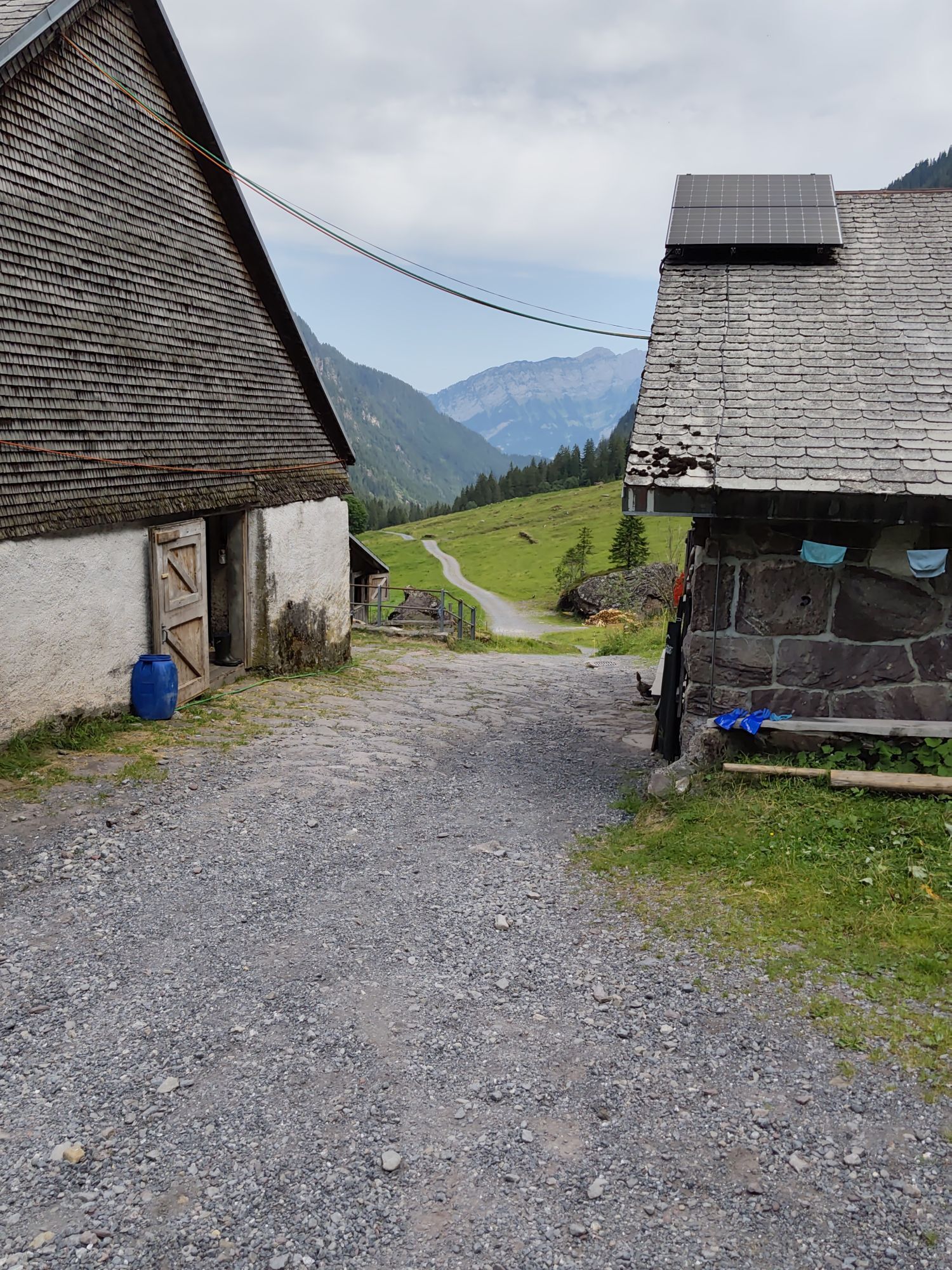
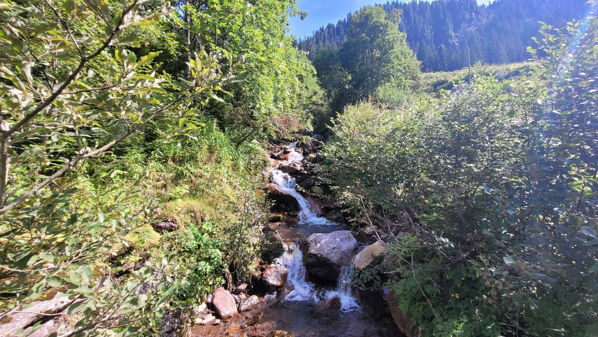
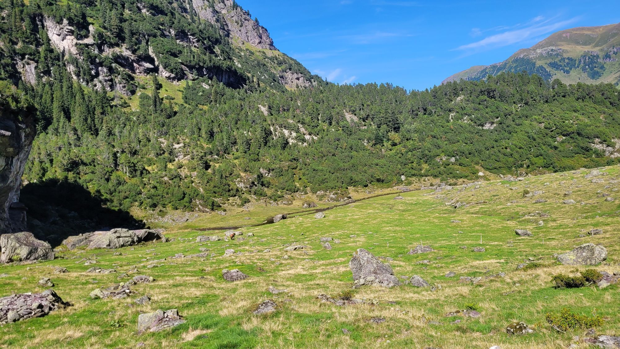
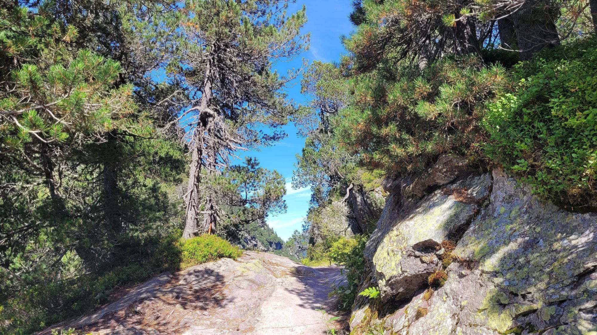
The adventure journey starts immediately at Murg station. From there, the path leads into the idyllic Murg valley. Let yourself be enchanted by the beautiful surroundings and discover the Murg valley on two wheels. Soon the steady ascent begins to the Plätz hydroelectric power station. From there, the path snakes through numerous curves. From Merlen, the path runs on a gravel road. It continues through the green nature to the transport cableway on Alp Mornen. There we exchange the e-bike for hiking shoes.
Hike to the Murg lakes (7.7 km, 2h 45 min, round trip)
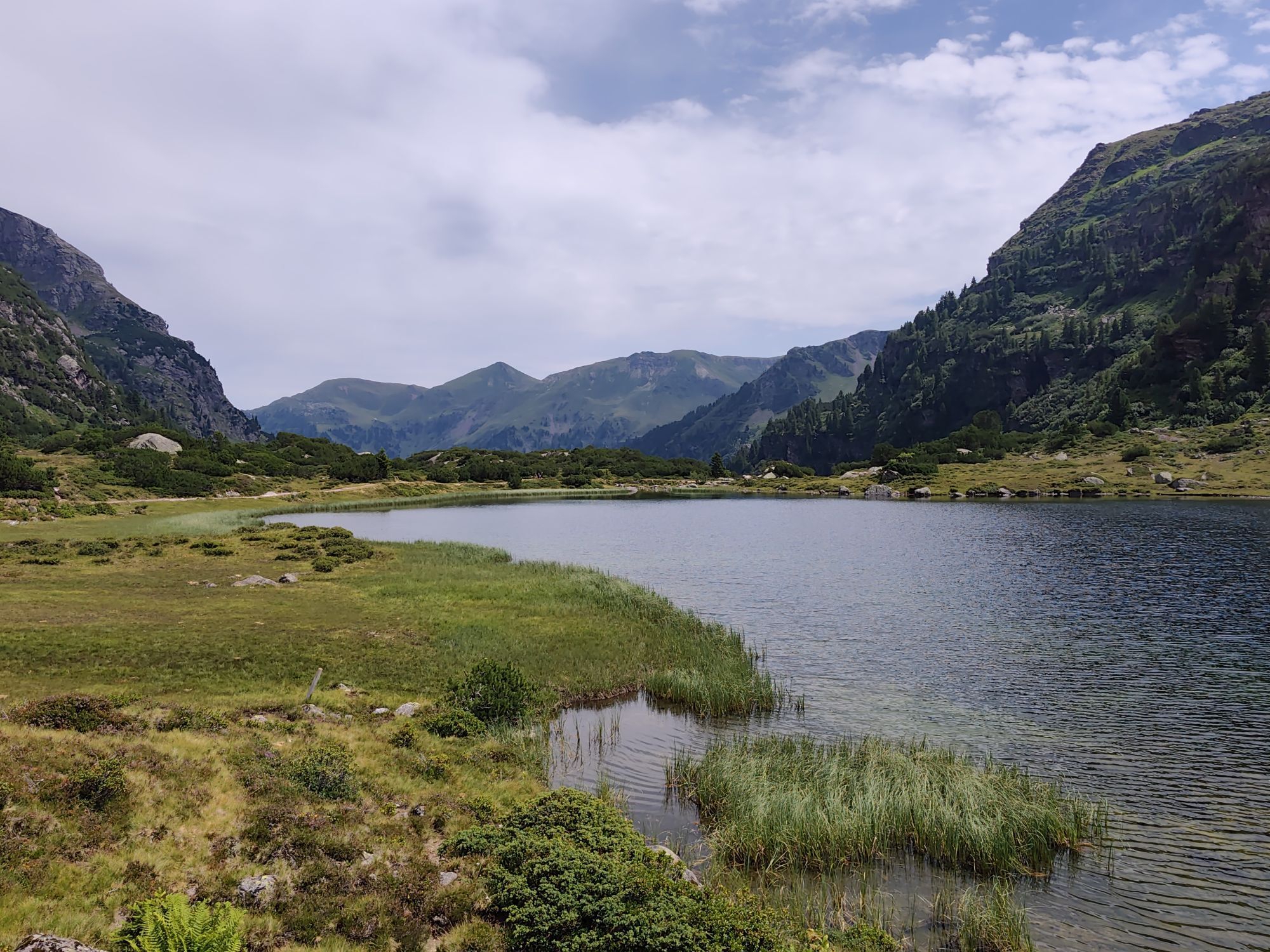
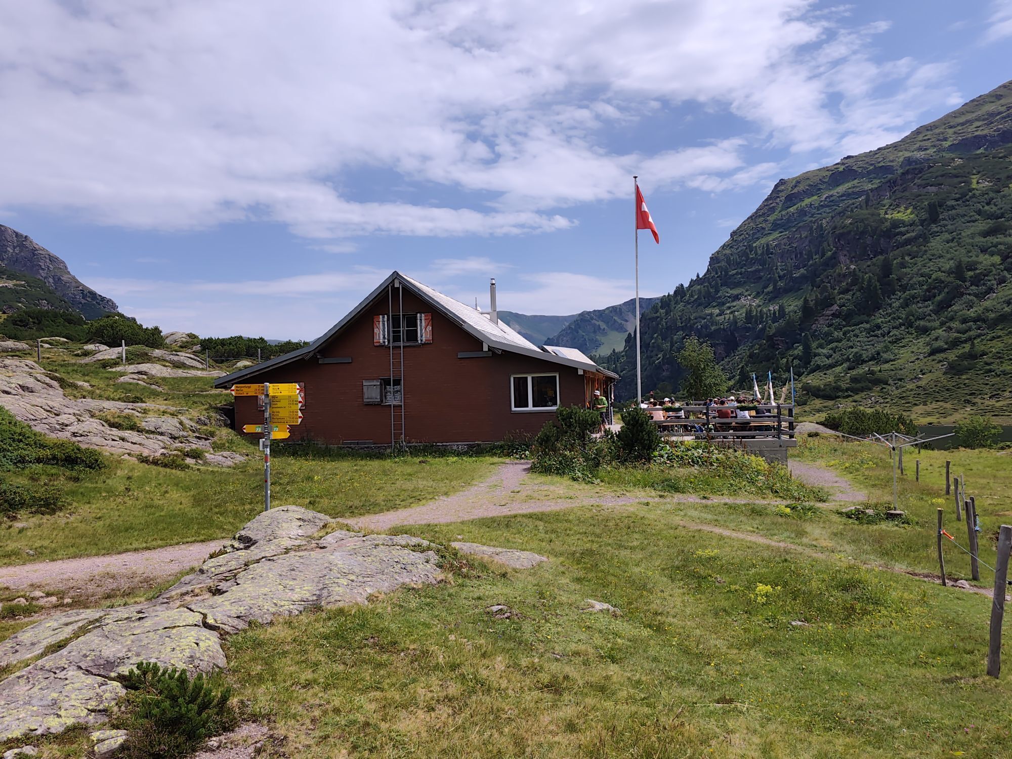
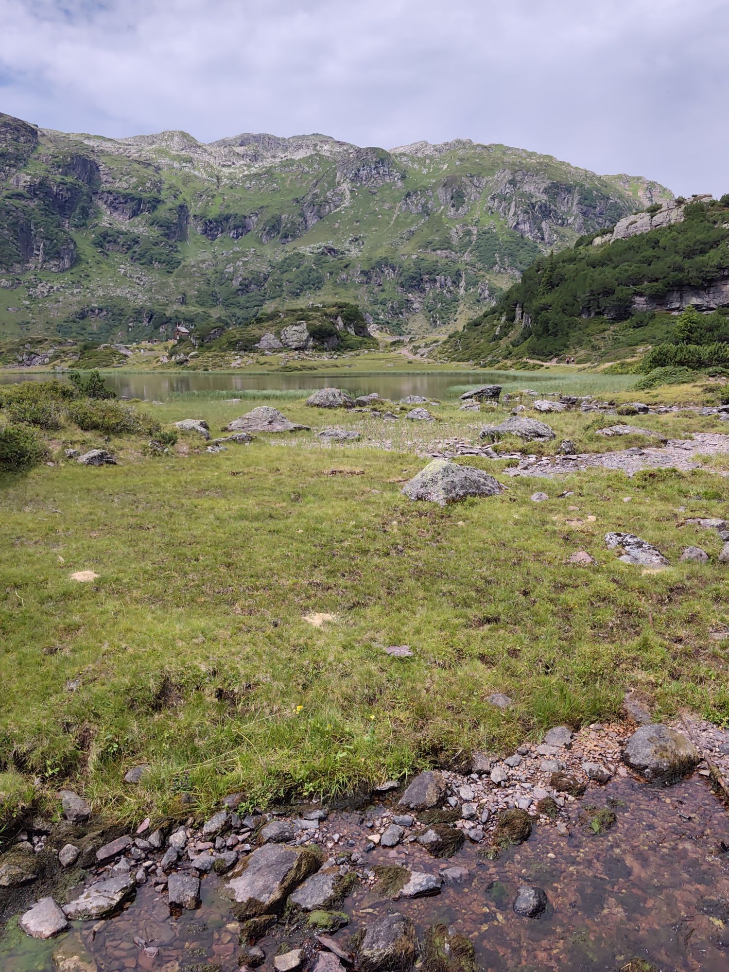
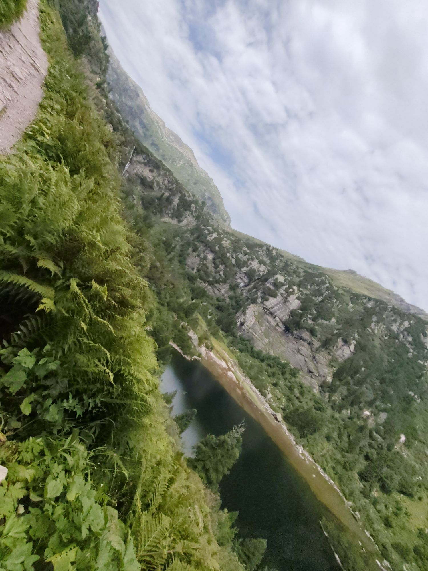
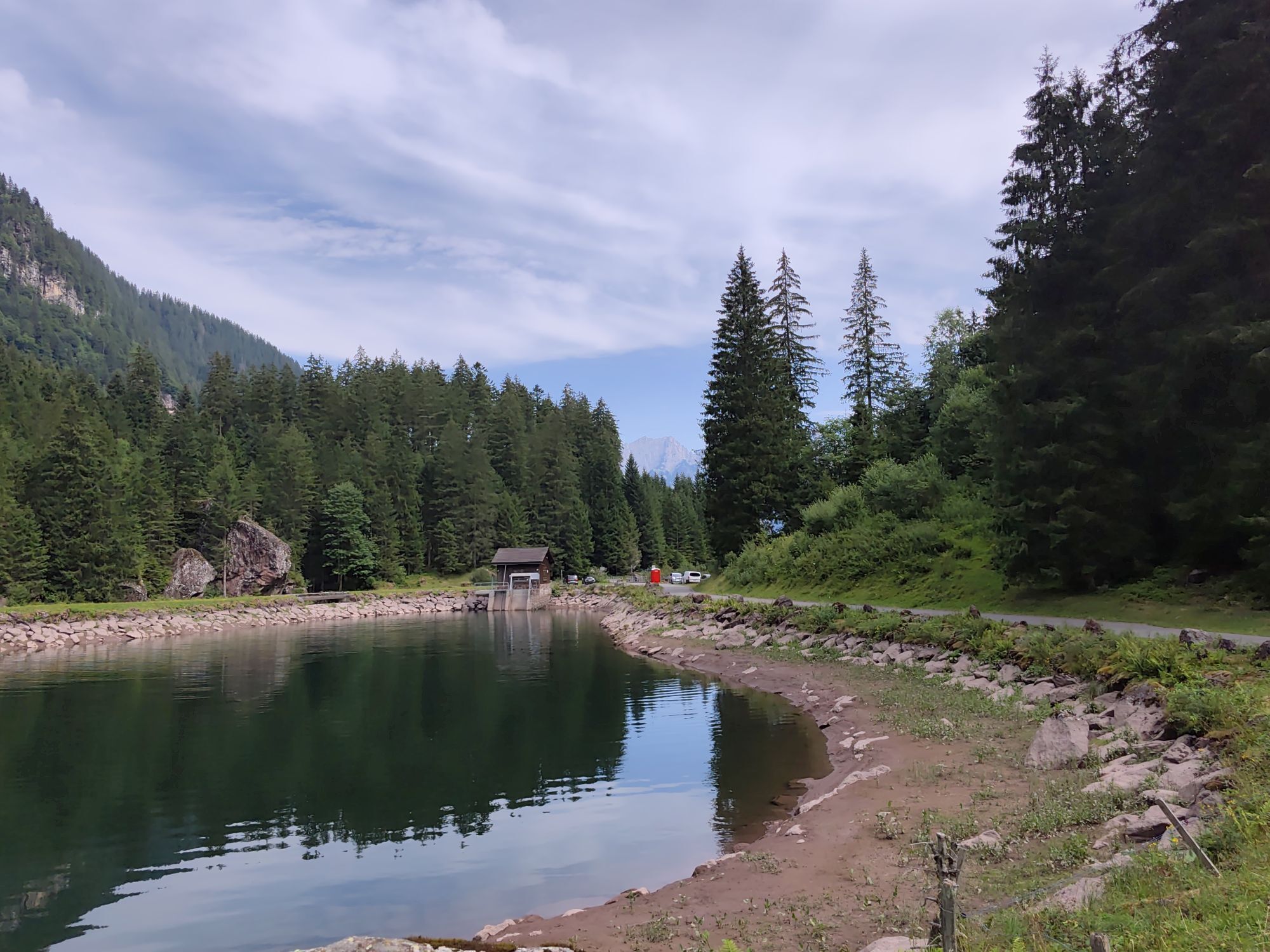
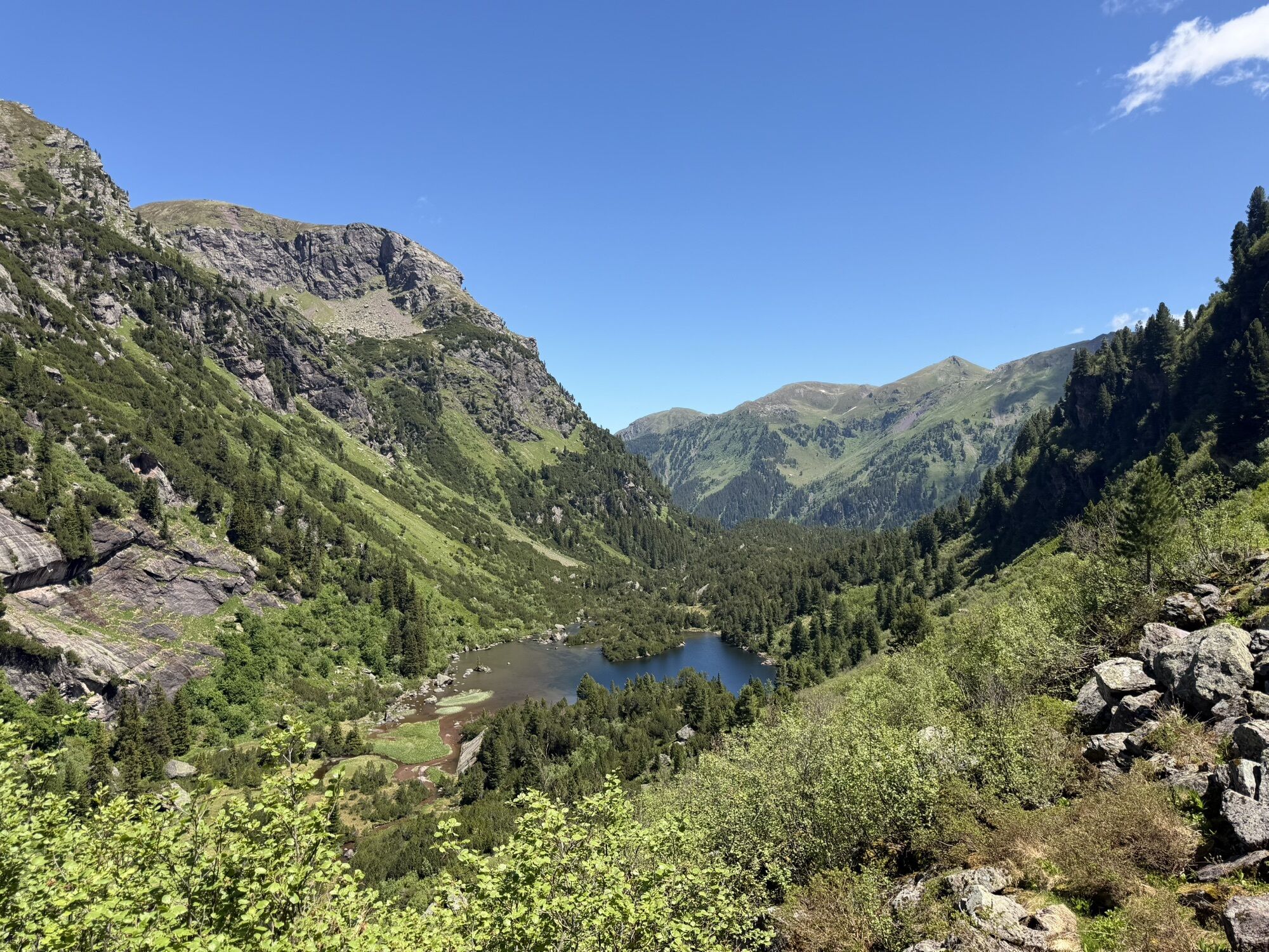
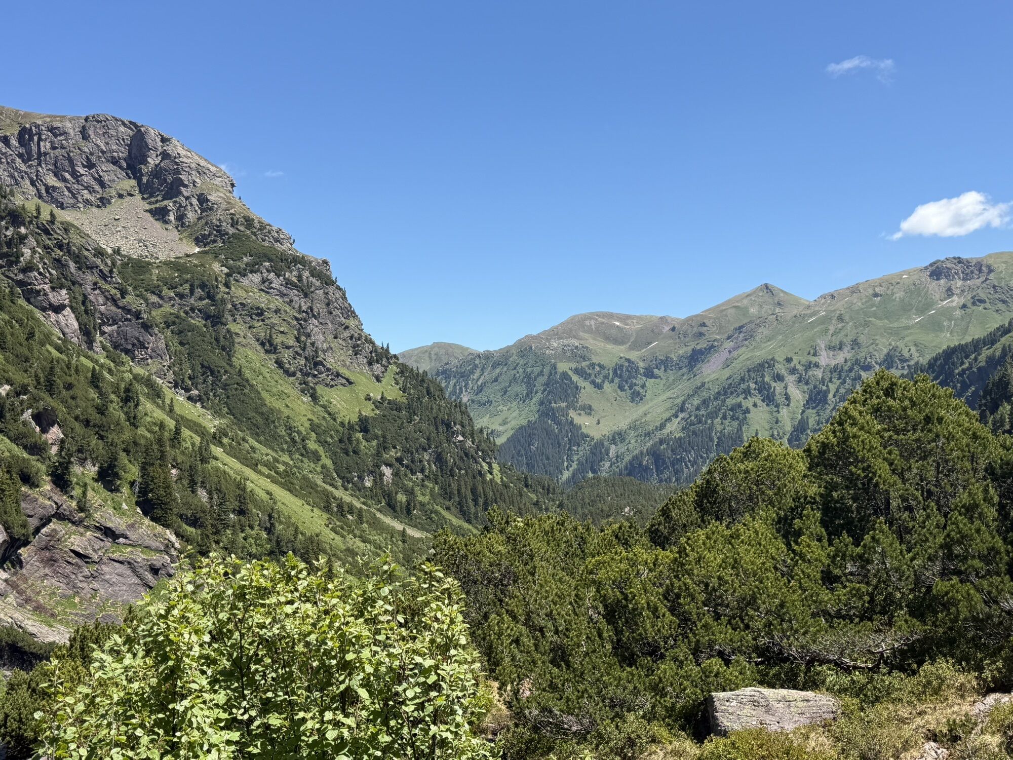
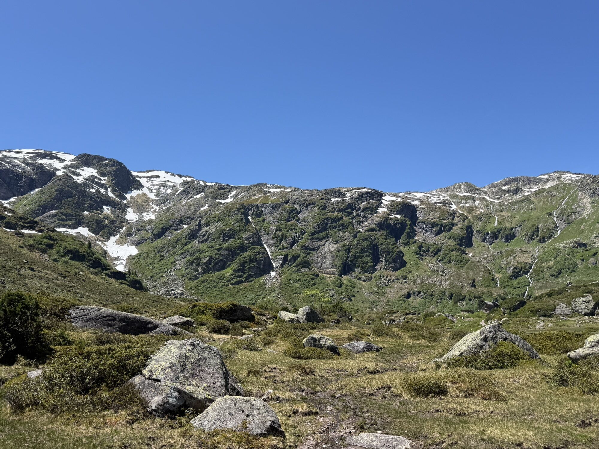
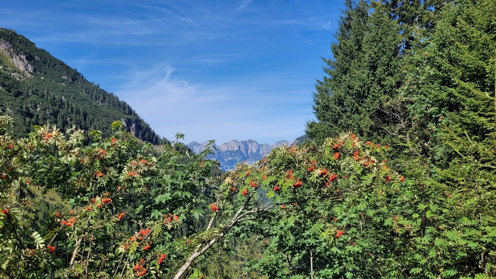
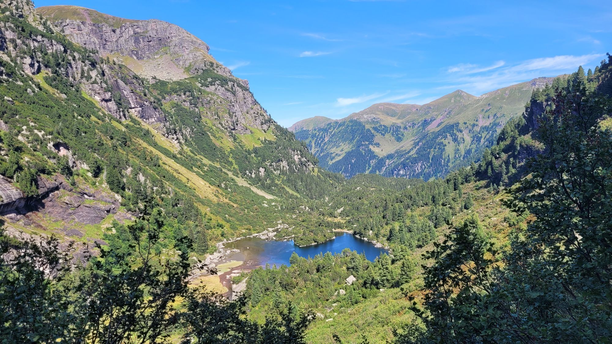
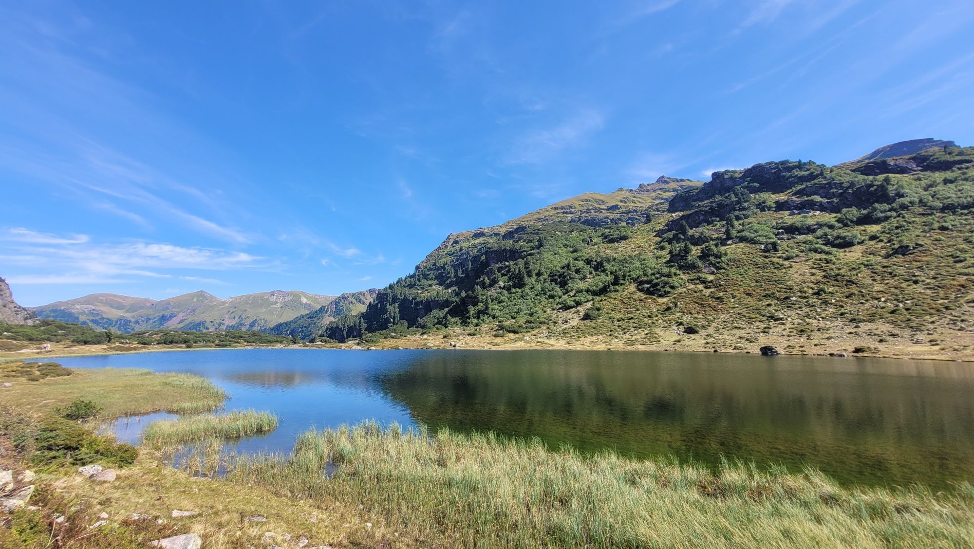
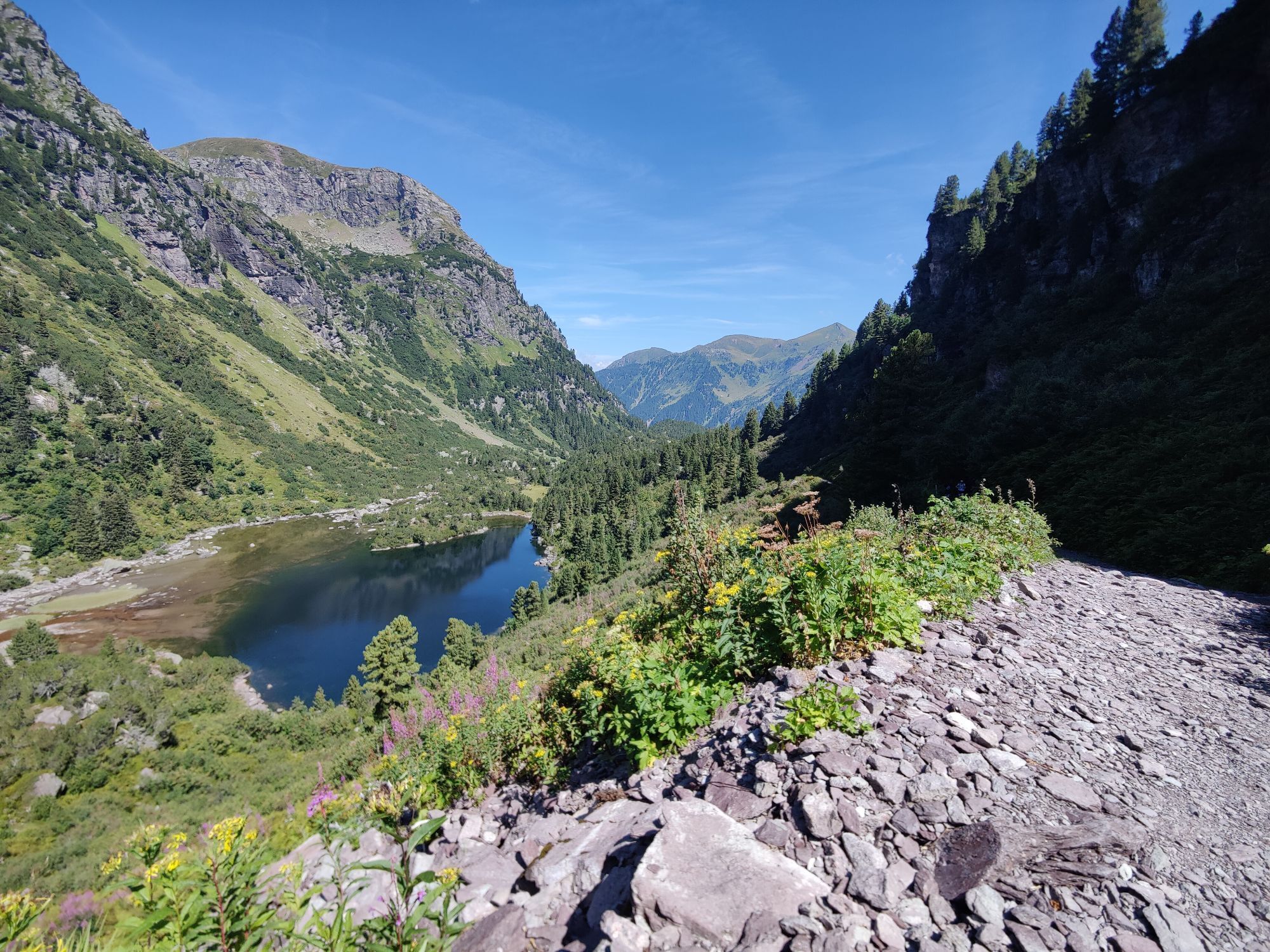
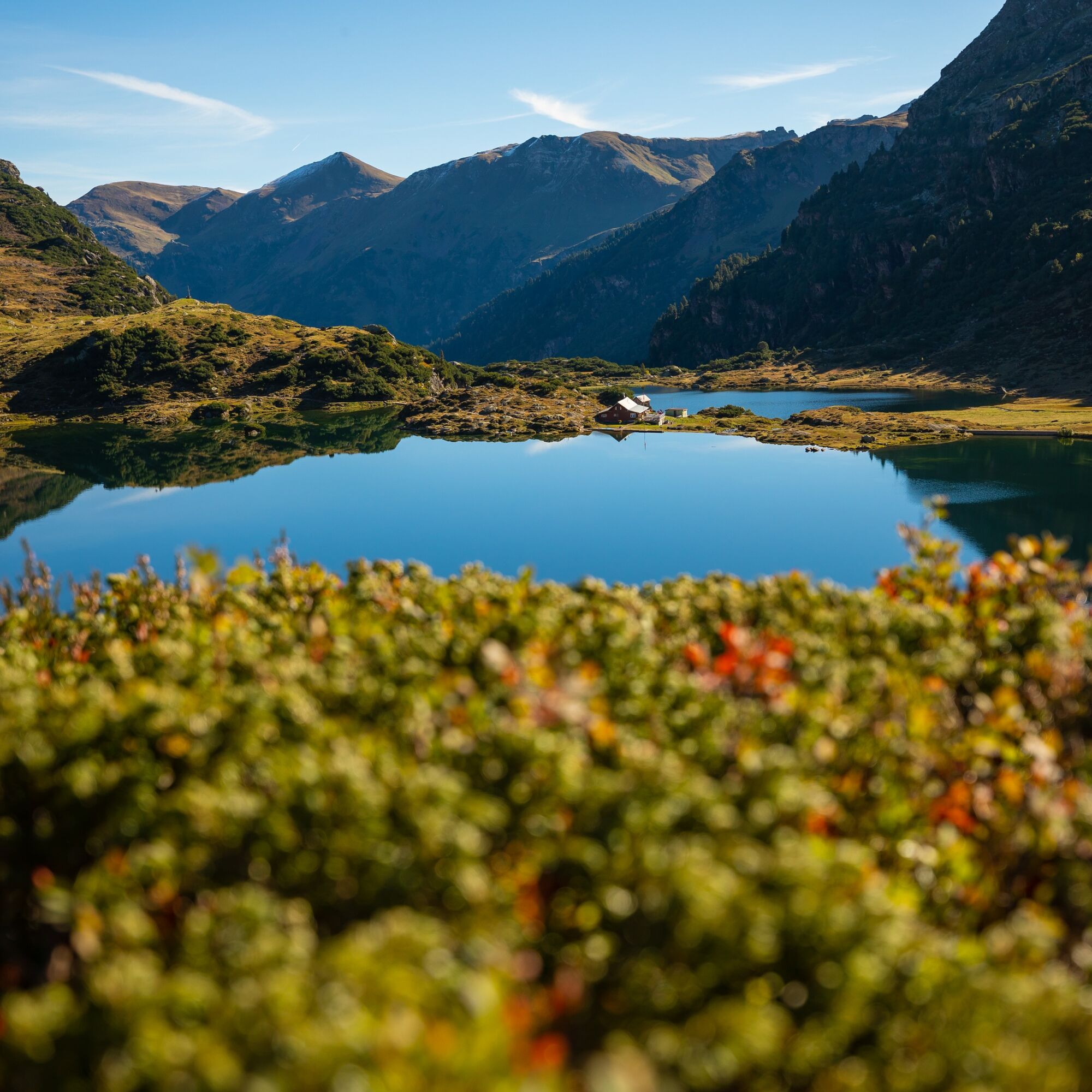
We continue our journey along the Murgbach. Shortly you will reach the first of the three picturesque Murg lakes. You pass the impressive Murgbachfall before arriving at the middle and upper Murgsee as well as the Murgsee hut. A perfect spot for a relaxing break to enjoy the surrounding nature and panorama. The Murg lakes are framed by a ring of mountains. On the left, the imposing Mürtschenstock rises with its three peaks Stock, Fulen and Ruchen. The return is along the same path, but the view down the valley repeatedly reveals new facets of the original Murg valley to the hiker.
E-bike back to Murg
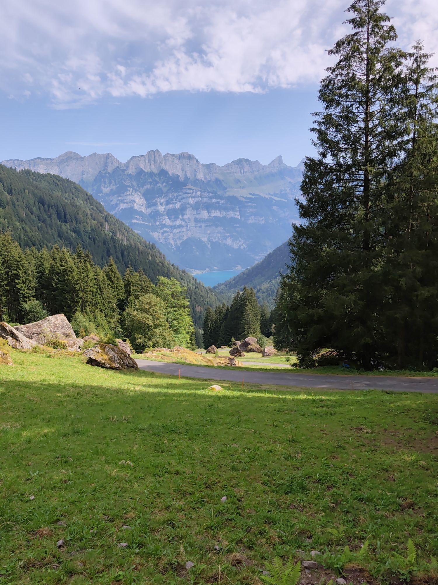
From Mornen, return the same way to the Plätz hydroelectric power station. From there, the path leads over Vorderschwendi to Rütiberg and finally back to Murg station.

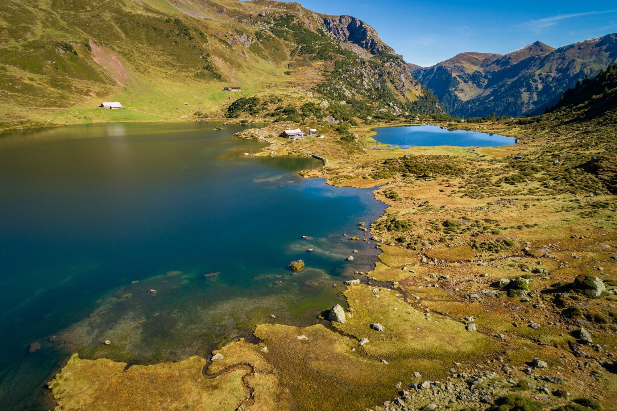
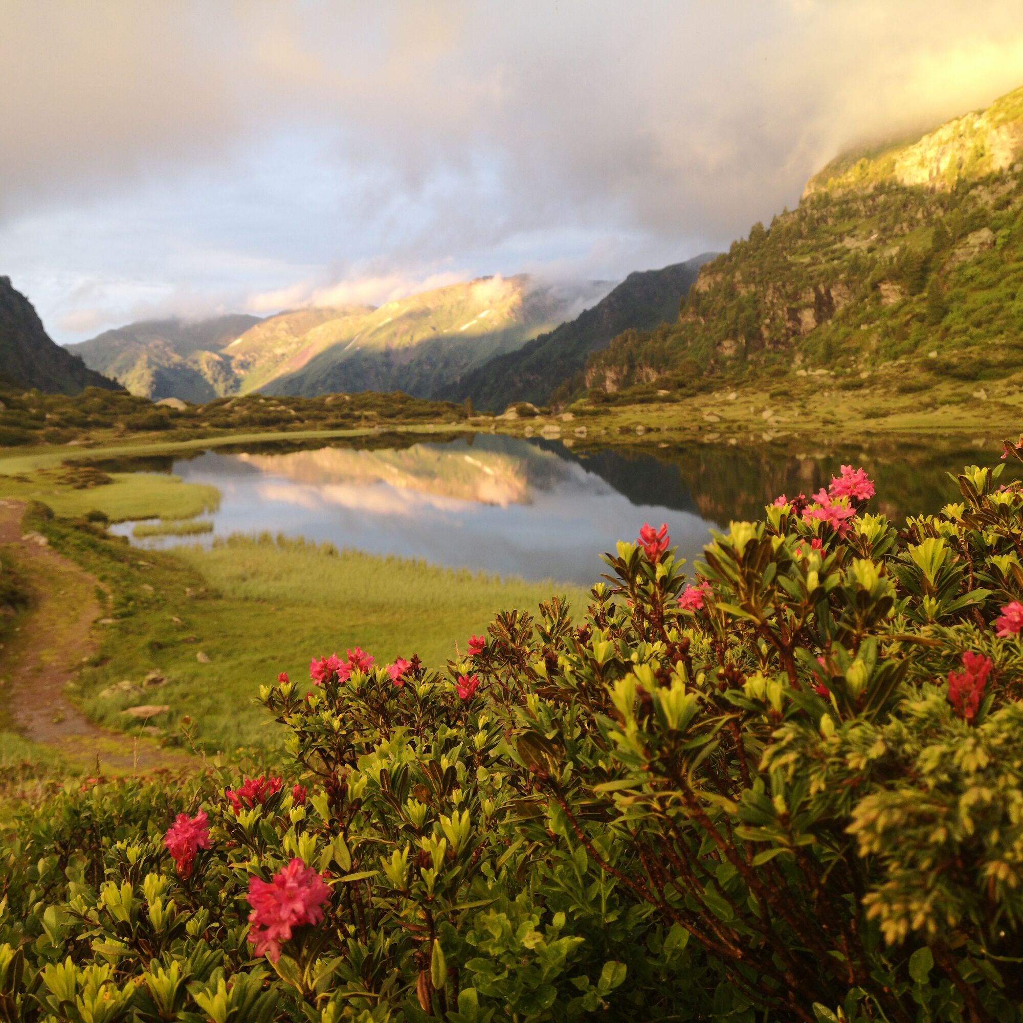
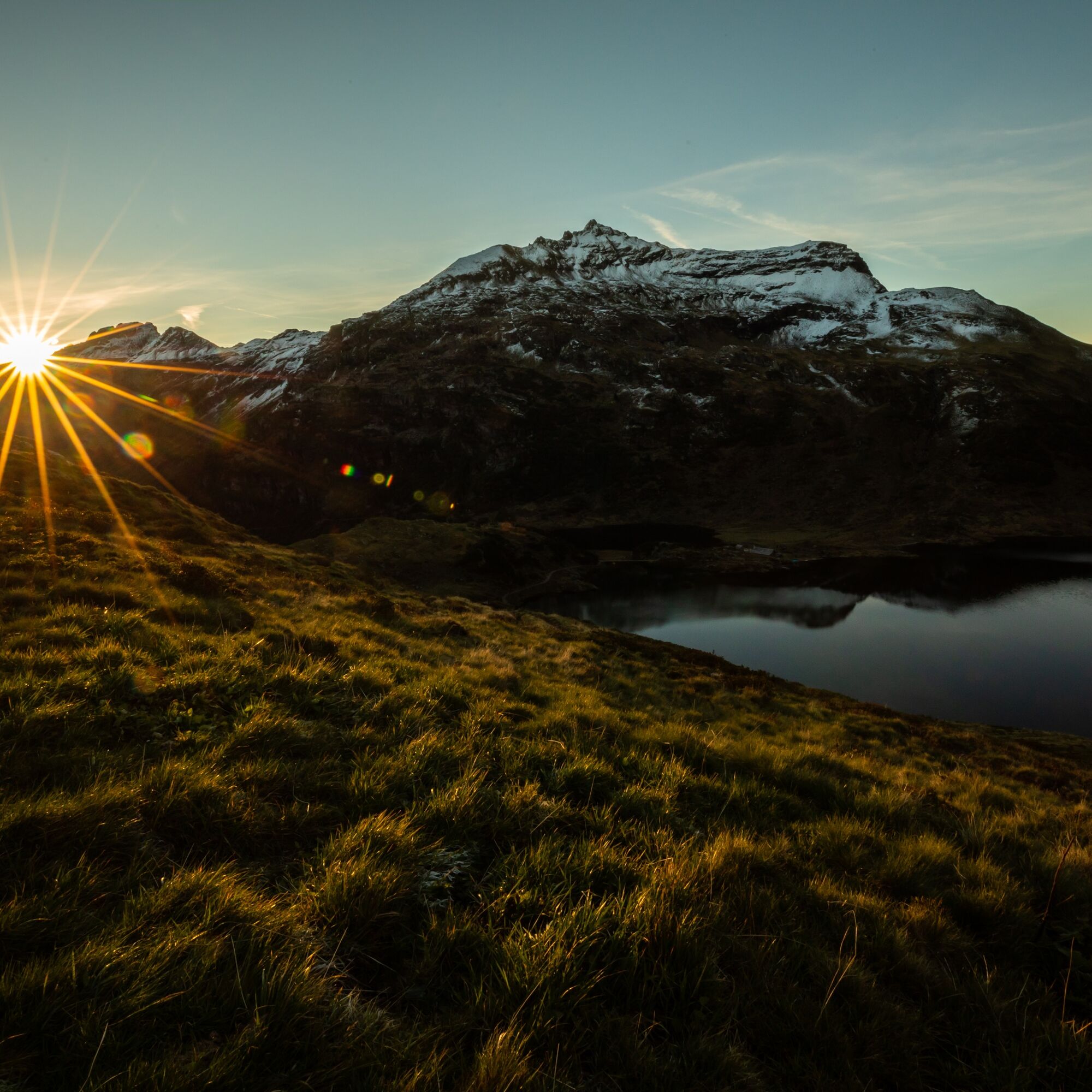

E-Bike: From Murg station follow the signs into the Murg valley. Cross the cantonal road. Ride to the Plätz hydroelectric power station. From there, numerous switchbacks await you up to Merlen. From Merlen the surface changes to gravel. Follow the gravel road to the transport cableway on Alp Mornen.
Hike: Murgbach-lower Murgsee-Murgbachfall-middle and upper Murgsee-Murgbachfall-lower Murgsee-Murgbach
E-Bike: From Mornen, return the same way to the Plätz hydroelectric power station. From there, over Vorderschwendi to Rütiberg and back to the station in Murg.
Tak
Normal bike equipment, hiking shoes. Functional clothing is an advantage, as a long ascent is followed by a descent of equal length.
Bring a lock to secure your e-bike during the hike.
Ride with foresight and behave respectfully towards other recreation seekers and road users.
Murg is about an hour by car from St. Gallen and Zurich and 45 minutes from Feldkirch. Use the Murg motorway exit and follow the signs.
You can reach Murg by public transport in about an hour from St. Gallen and Zurich.
Opposite Murg station (lake side) there is a parking lot. Another large parking lot is located at the entrance to the Murg valley near Wisli.
2
Park the e-bike at the Mornen cable railway. Make sure the e-bike is not blocking anyone. From Mornen, continue on foot.
Heidiland Tourism
Information desk Flumserberg
T +41 81 720 18 18
www.heidiland.com
As a reward, after the route, you can cool off in the lake at the campsite and beach pool in Murg and enjoy an ice cream.
Kamery internetowe z trasy
Uzyskaj wgląd
Zawsze na żywo z ponad 9 500 kamer internetowych. bergfex Jako użytkownik Pro, możesz teraz zobaczyć odpowiednie kamery internetowe dla wielu wycieczek w aplikacji wycieczki od. Pozwala to na bezpośredni podgląd aktualnych warunków.
Popularne wycieczki w okolicy
-
4,8
Walensee Riviera Weesen - Quinten
średniWędrówka 10,2 km -
4,7
Riviera Lake Walen Walenstadt-Quinten
średniWędrówka 10,4 km -
4,6
Weesen - Quinten - Walenstadt
ciężkiWędrówka 20,6 km -
4,5
7-Peak Tour Flumserberg
ciężkiWędrówka 15,0 km -
4,5
4-Summit-Route Flumserberg
średniWędrówka 8,65 km -
4,9
Fronalpstock GL
średniWędrówka 7,84 km -
4,9
Quarten - Murgseehütte - Berggasthaus Murgsee - Glarus Nord
średniWędrówka 14,7 km -
4,7
Quinten-Trail 453
średniBieganie 8,97 km -
4,8
Arvenbüel - Egg - Alp Looch - Leistchamm
średniWędrówka 11,4 km -
4,8
Vorder Glärnisch
średniWędrówka 4,64 km
Wędrówki i tropienie


Nie przegap ofert i inspiracji na następne wakacje
Twój adres e-mail została dodana do listy mailingowej.





