


SchweizMobil 45: Wyland–Downtown, Stage 1: Stein am Rhein – Winterthur
Poziom trudności: 2
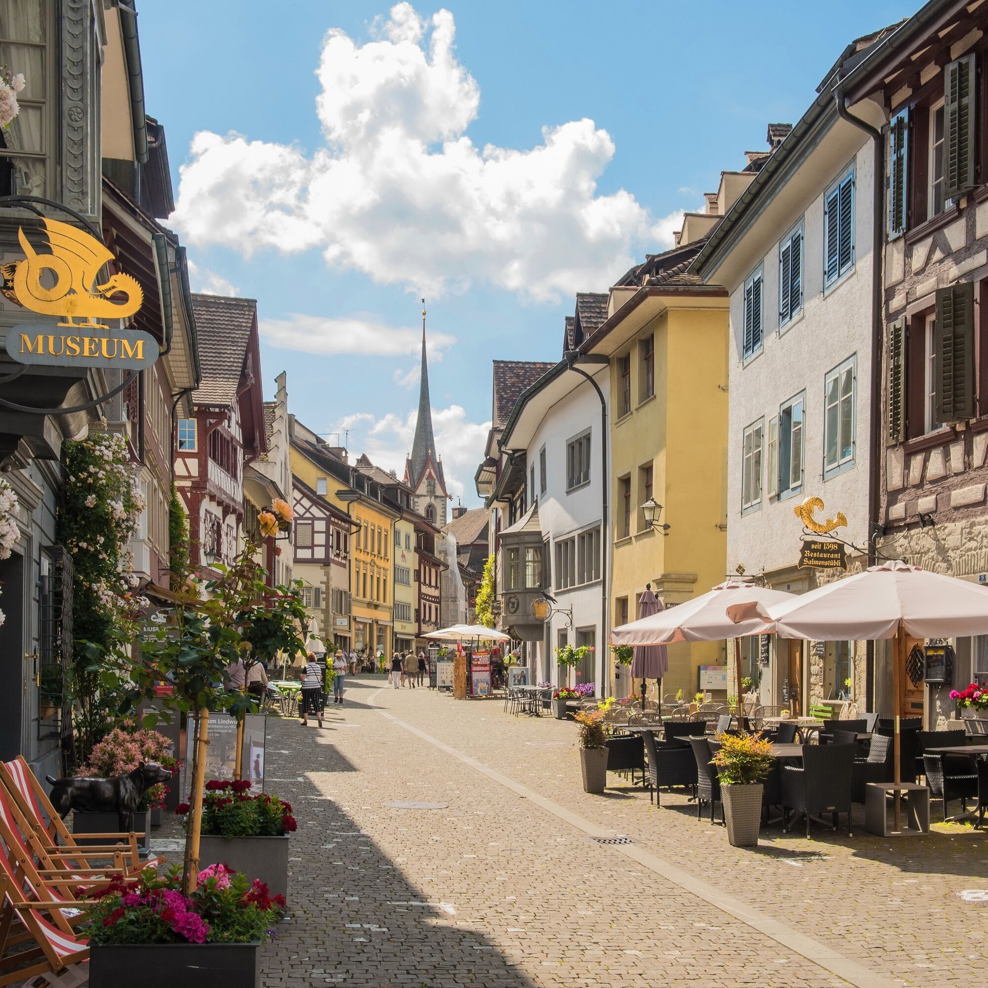
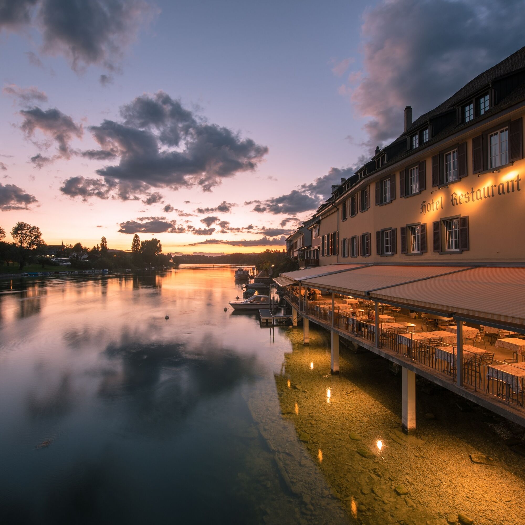
After the gem Stein am Rhein come vineyards, wide fields, and magnificent half-timbered houses in Stammheim. The Thur meanders mostly sluggishly through a shallow basin, but the wide foreland bears witness...
After the gem Stein am Rhein come vineyards, wide fields, and magnificent half-timbered houses in Stammheim. The Thur meanders mostly sluggishly through a shallow basin, but the wide foreland bears witness to flood distress.
A commuter train already whistles swiftly across the land towards the nearby city. In Oberwinterthur, the interactive Technorama invites you to experiment. Winterthur's scene, art, and old town tempt you – the possibilities are manifold, hardly smaller than in Zurich. In Kemptthal, the Maggi soup has long since dissipated, the highway now charms ear and nose, and following the railway your gaze rests on the concrete station block of Effretikon.
Your path leads you through a forest oasis to the half-timbered houses in the old village center of Wangen. Cycle paths in green recreational zones only hint at the urban sprawl. You experience village-like city districts, whether Dübendorf or Schwamendingen. After the large buildings of the modern Irchel study center, you immerse yourself in the chaos of the bustling city.
© Stiftung Schweiz Mobil
Bicycle helmet and provisions
2
Popularne wycieczki w okolicy
-
4,8
Rundwanderweg Rheinau
światłoWędrówka 6,85 km -
4,8
Flaach - Ellikon - Flaach
Wędrówka 12,0 km -
Stein am Rhein - Hohenklingen Castle - Stein am Rhein
ciężkiWędrówka 7,79 km -
SchweizMobil 2: Rhine Route stage 6 (Kreuzlingen - Schaffhausen)
średniJazda na rowerze 47,0 km -
4,5
Circular hiking trail from Mammern on Lake Constance to the Neuburg ruins
światłoWędrówka 6,73 km -
"Hegauer Kegelspiel" Grenzgänger
światłoWędrówka 12,6 km -
Stein am Rhein - Wolkenstein - Hohenklingen Castle
Wędrówka 8,91 km -
Wangener Bänkleweg 2 West
średniWędrówka 7,54 km -
Stein am Rhein – Schaffhausen round route
średniJazda na rowerze 39,9 km -
Switzerland Mobility 2: Family route Stein am Rhein – Rhine Falls
światłoJazda na rowerze 23,2 km

Wędrówki i tropienie


Nie przegap ofert i inspiracji na następne wakacje
Twój adres e-mail została dodana do listy mailingowej.