





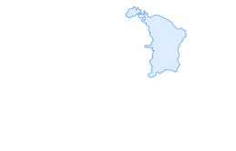

Churfirsten panoramic bike No. 479

Poziom trudności: S2
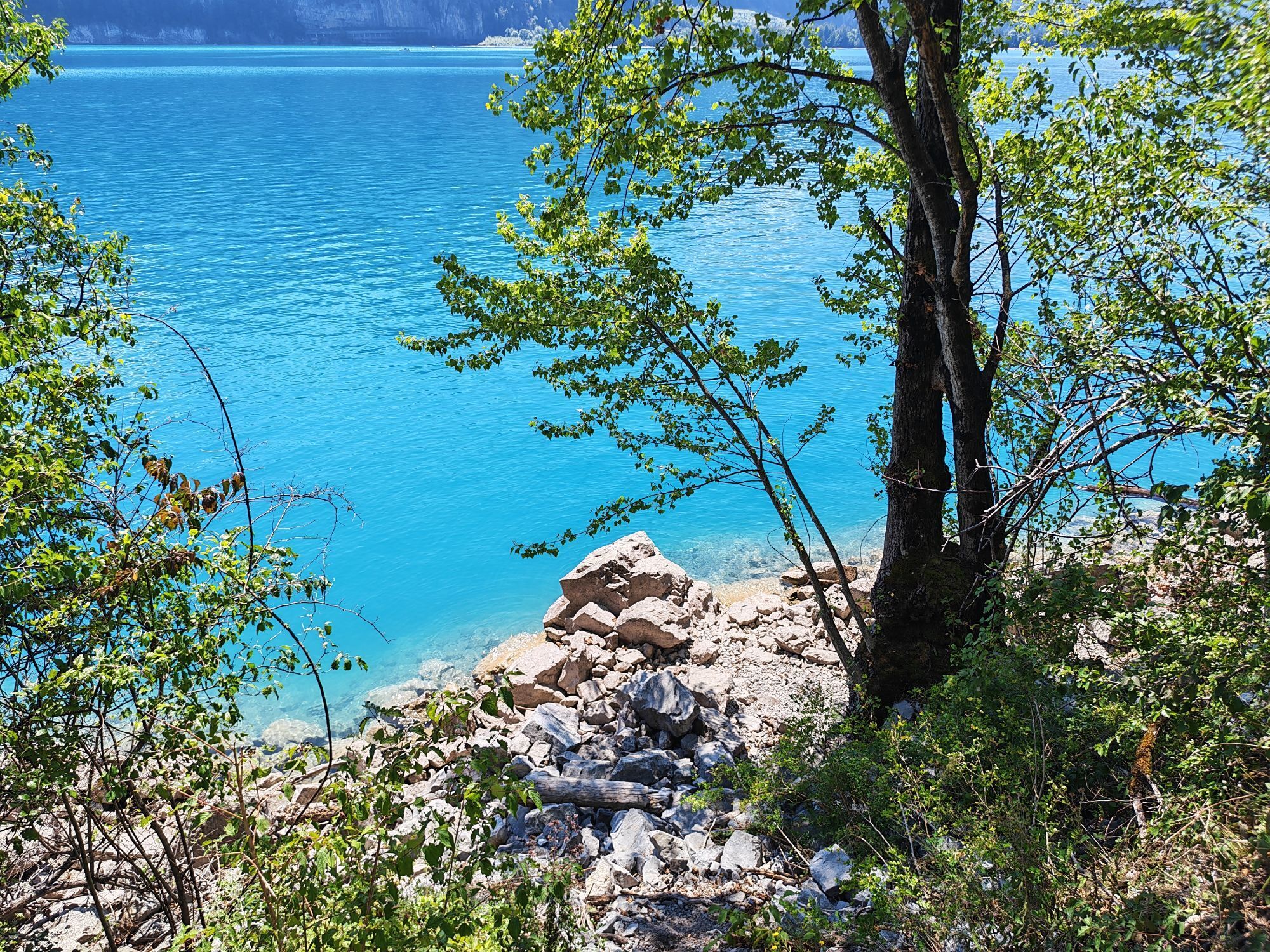
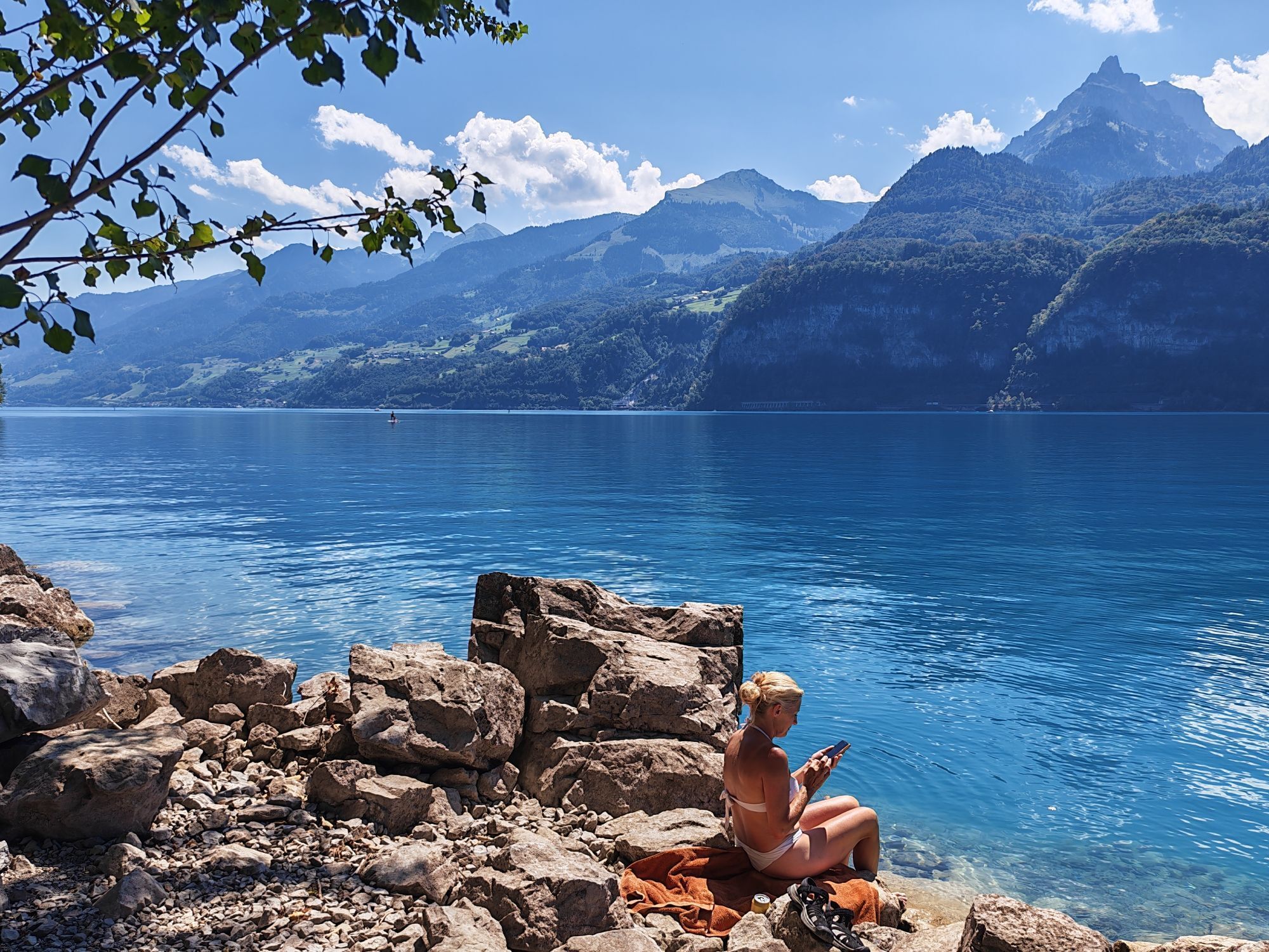
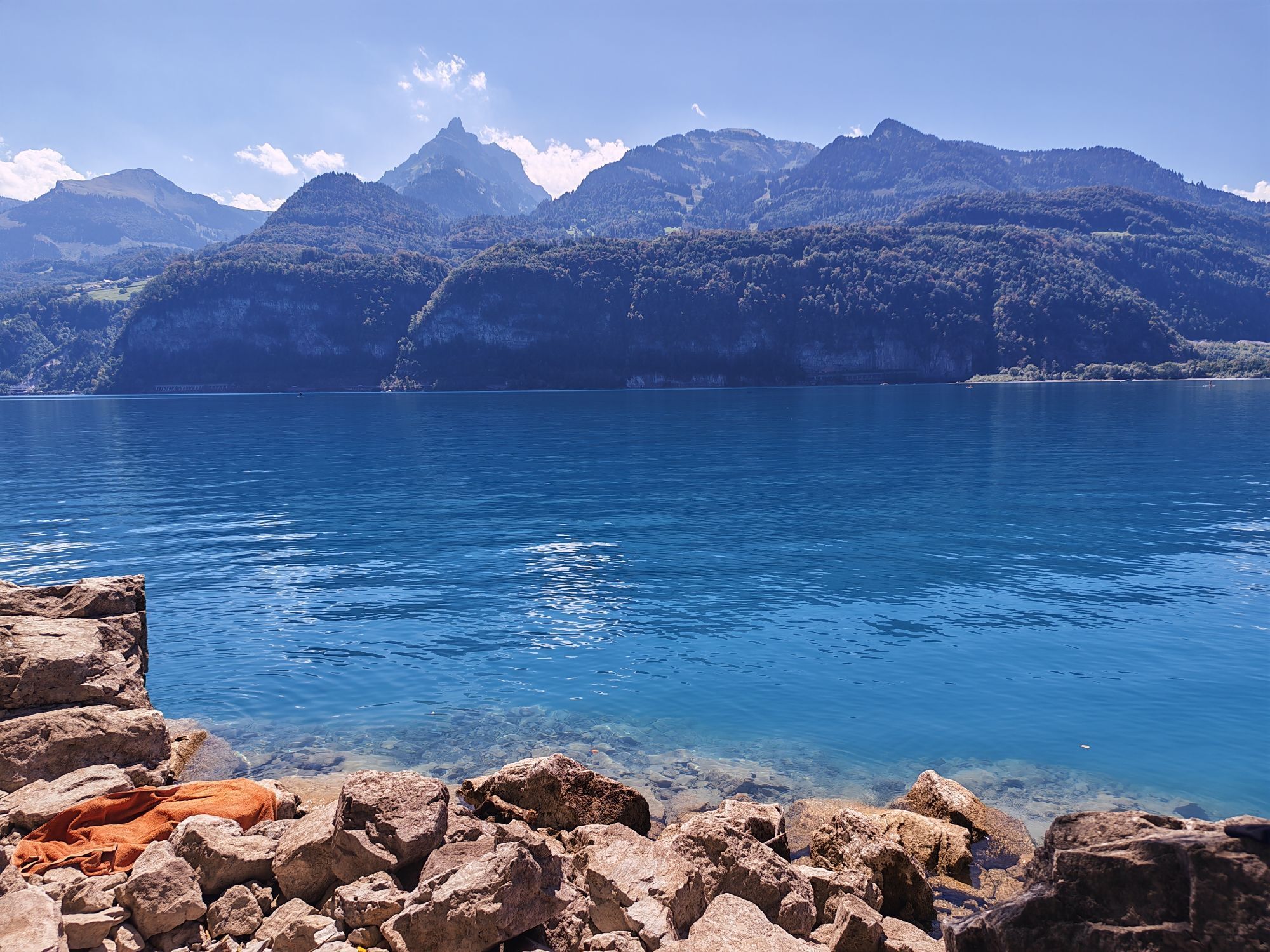
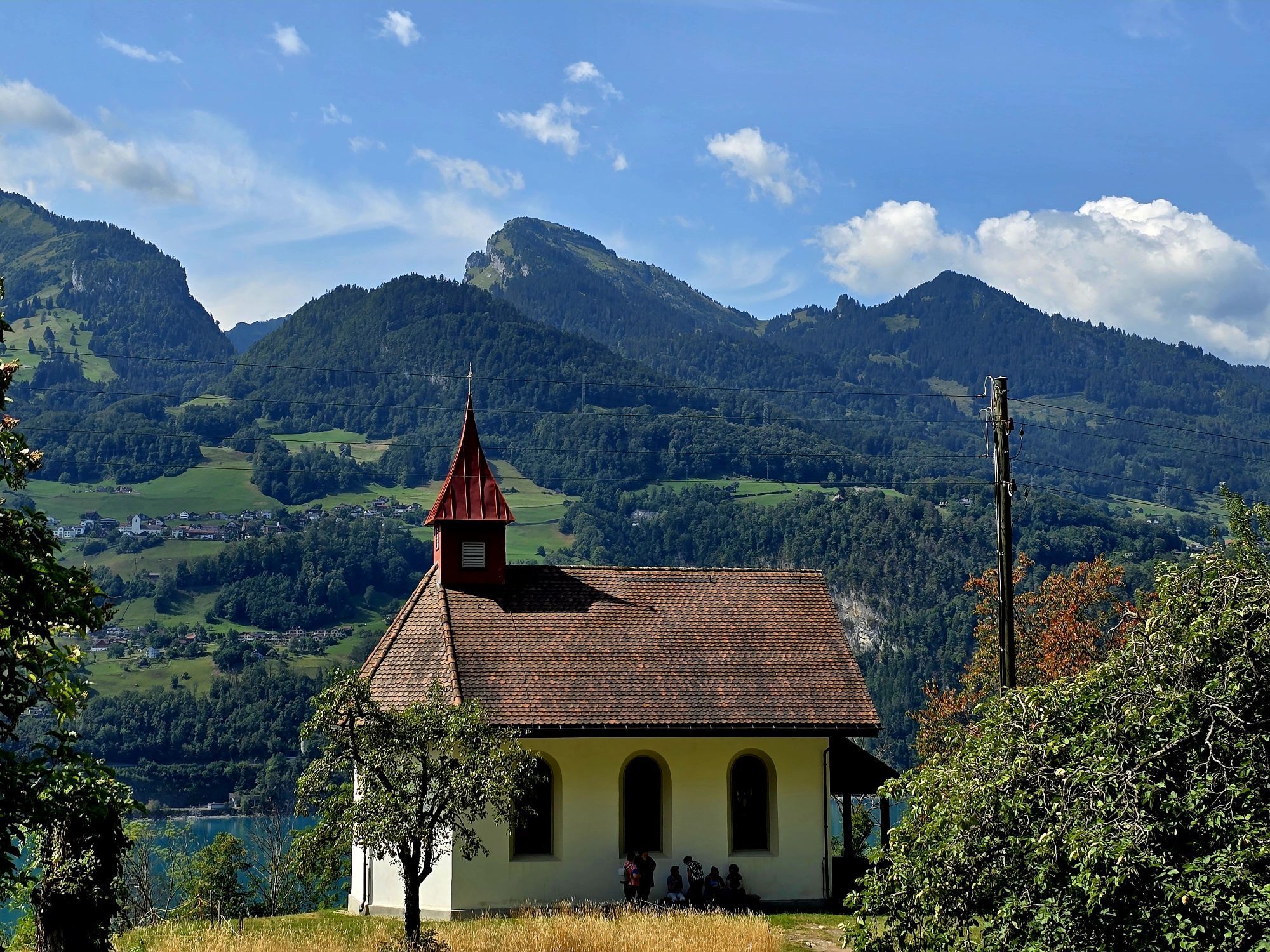
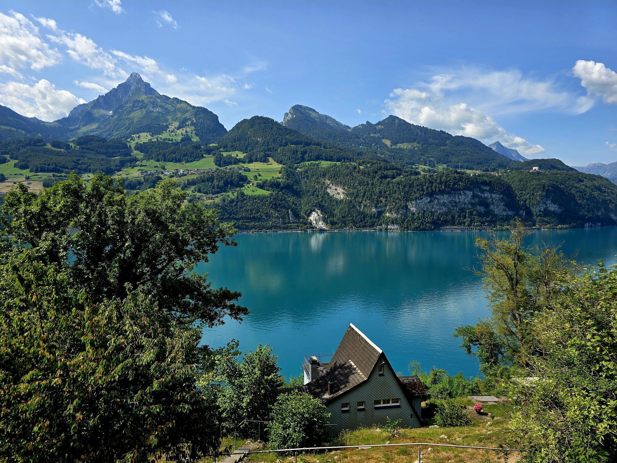

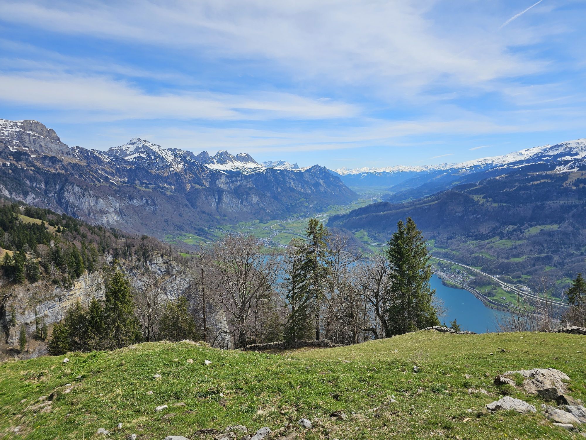
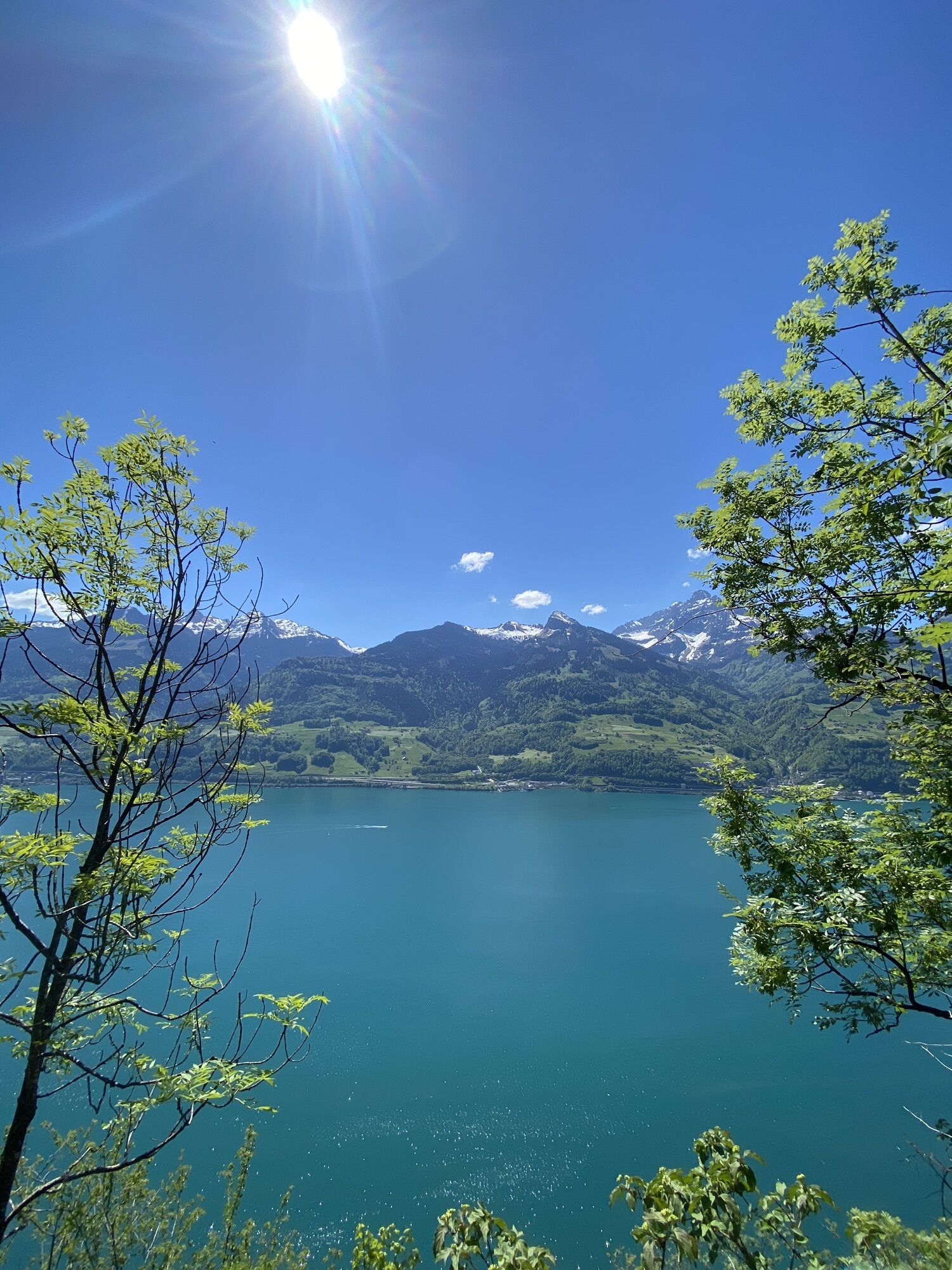
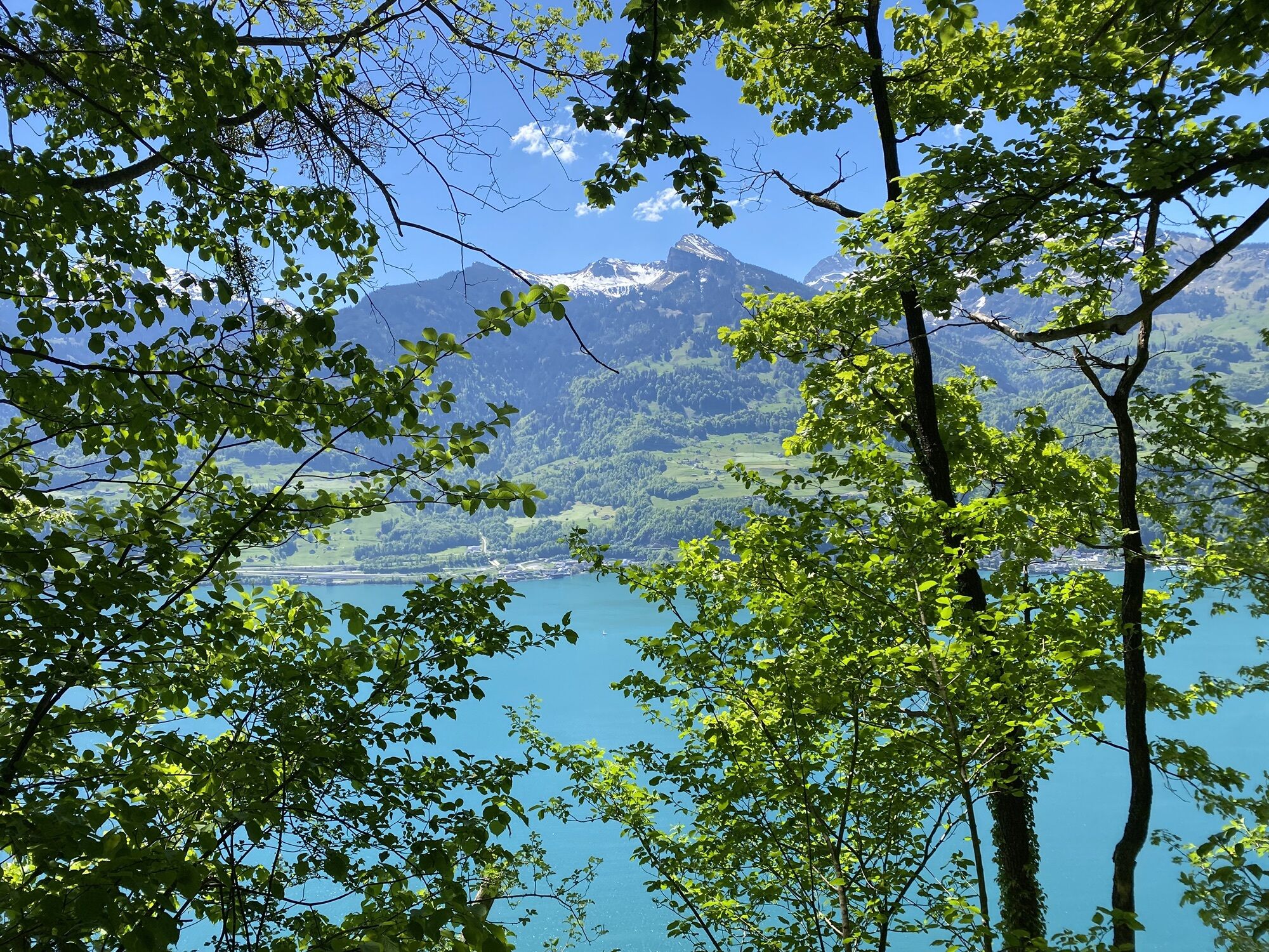
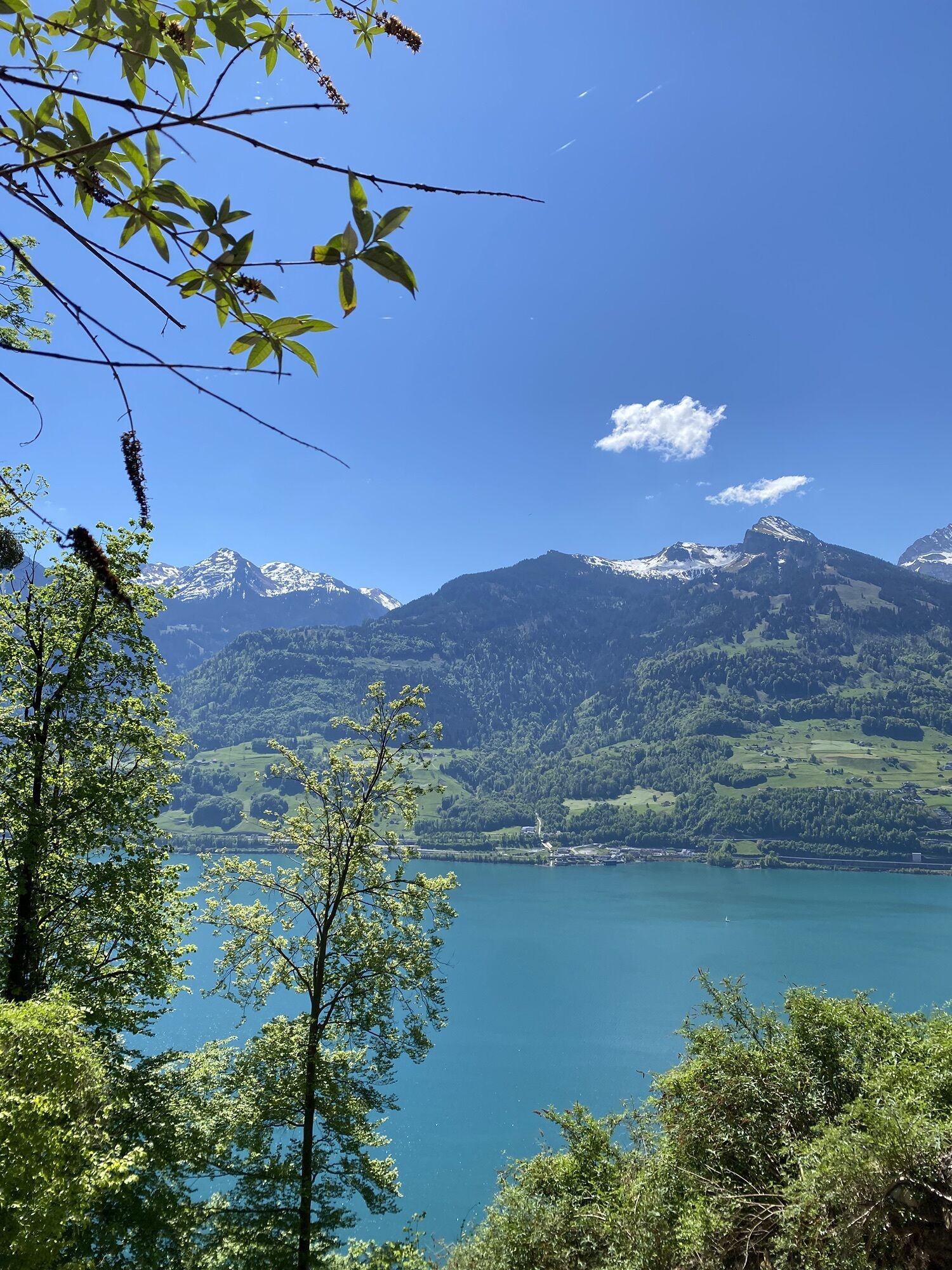
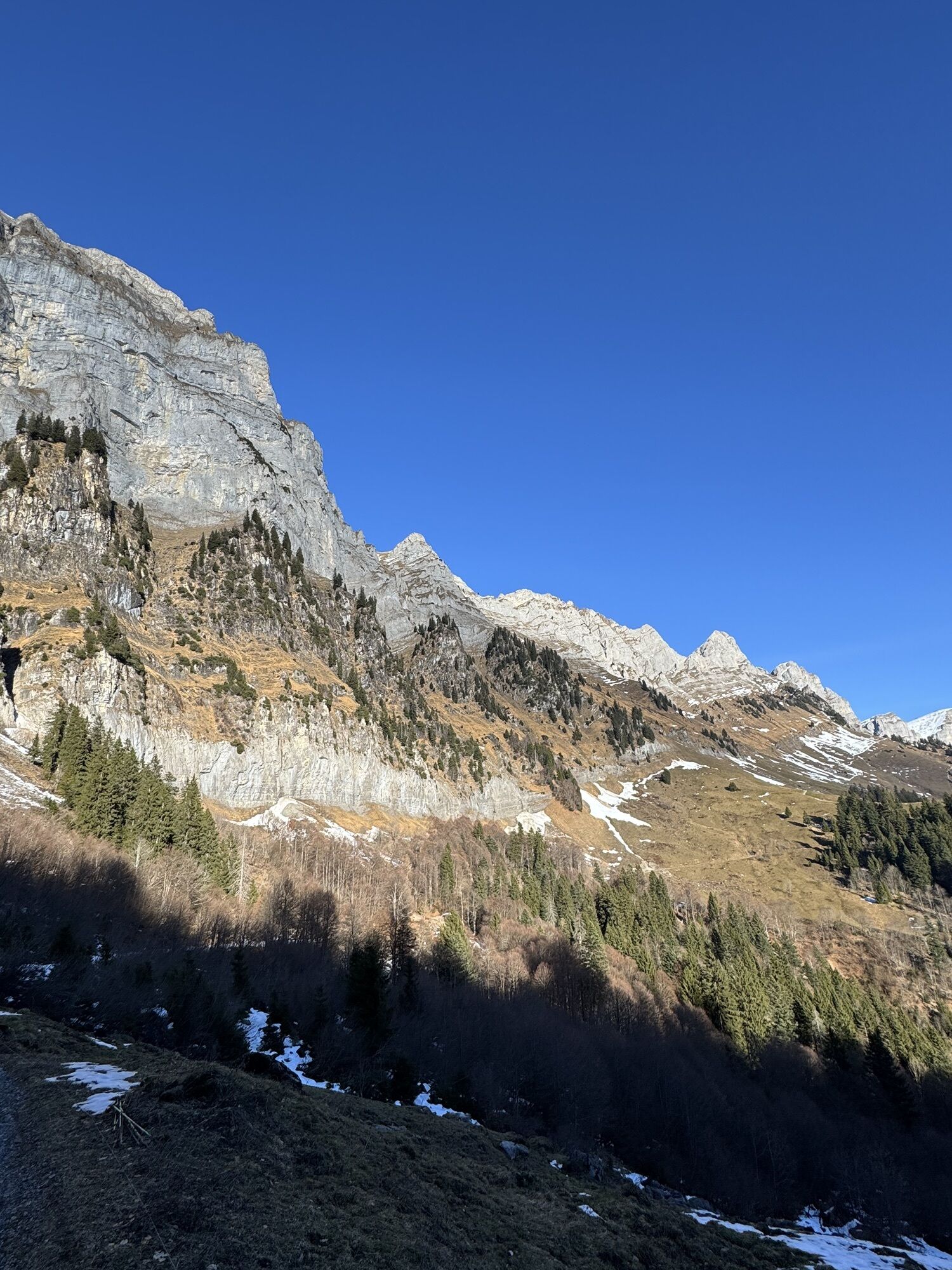
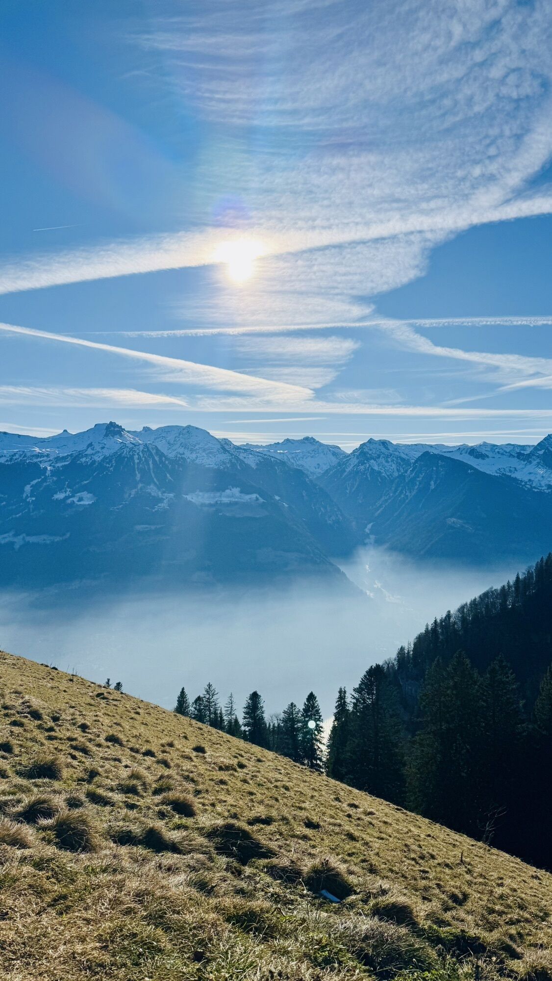
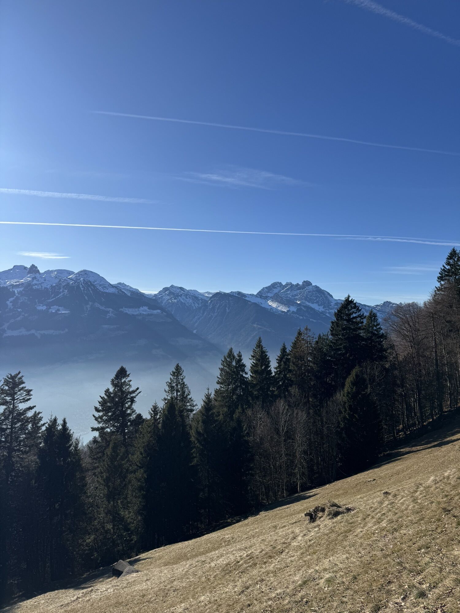
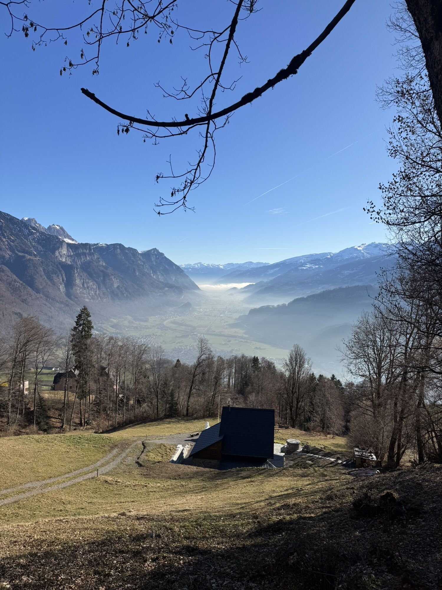
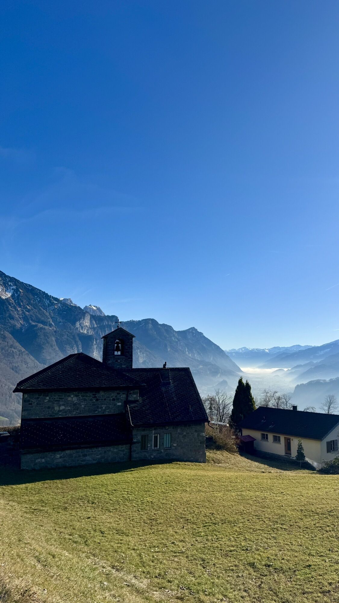
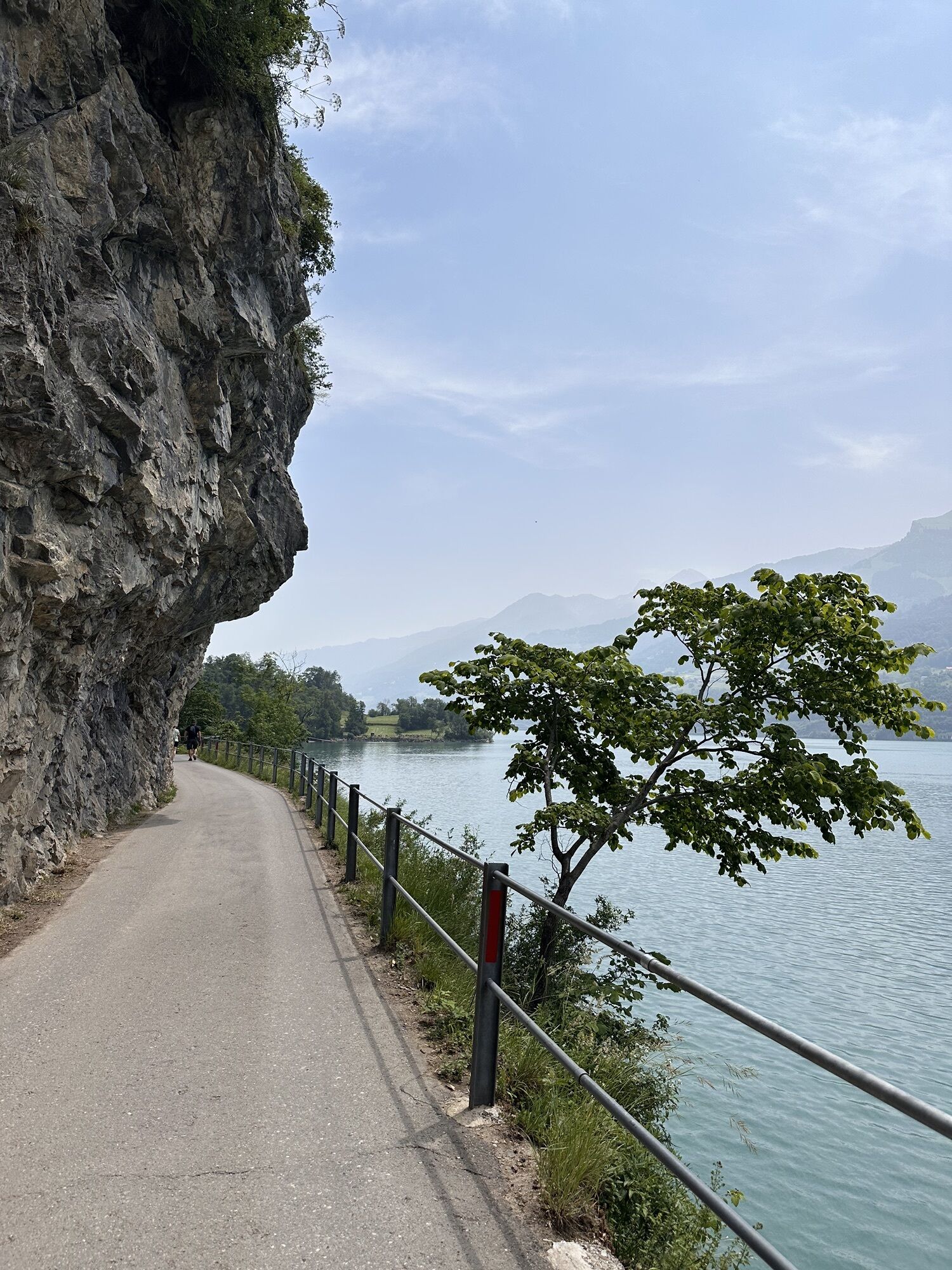
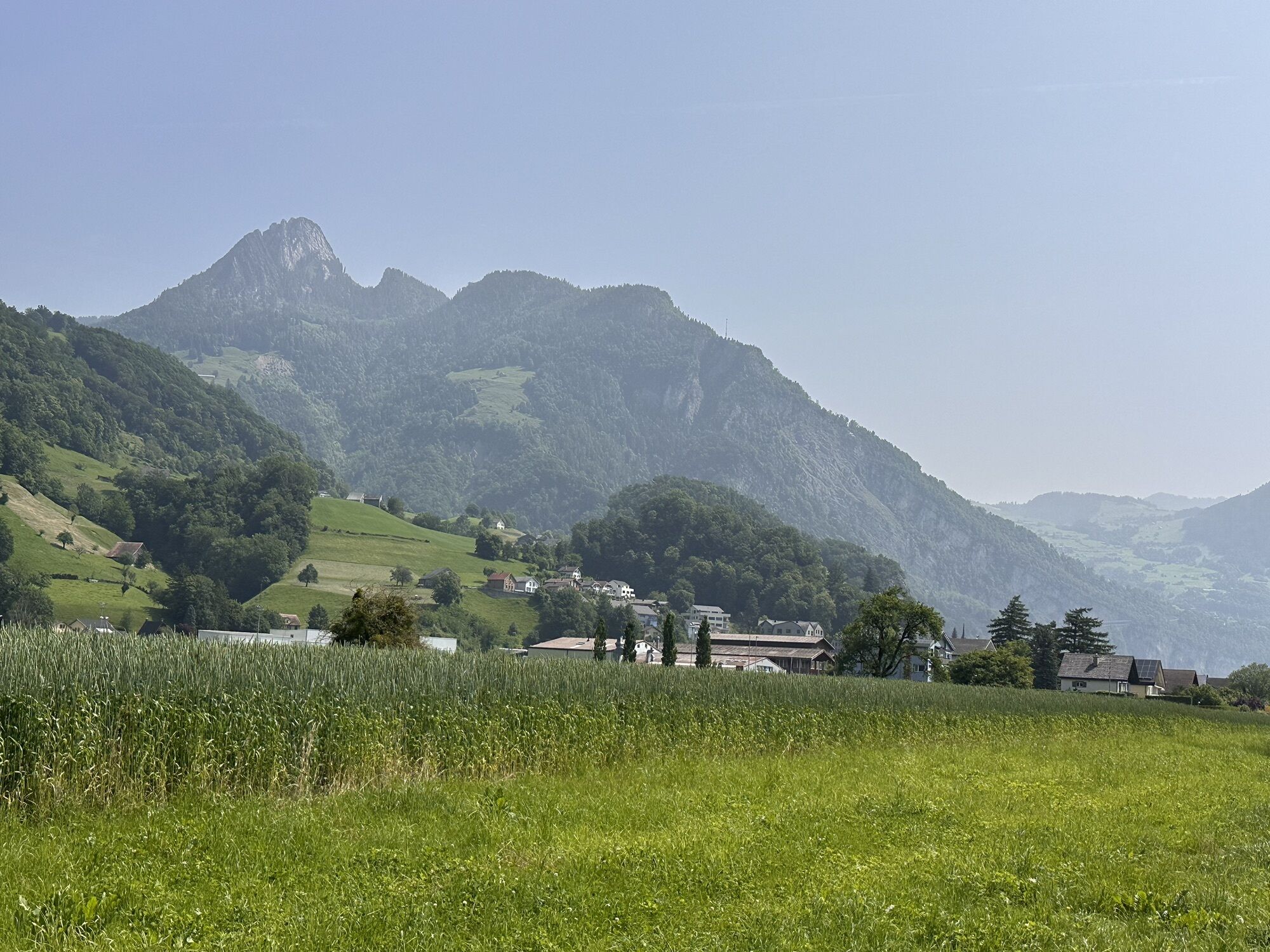
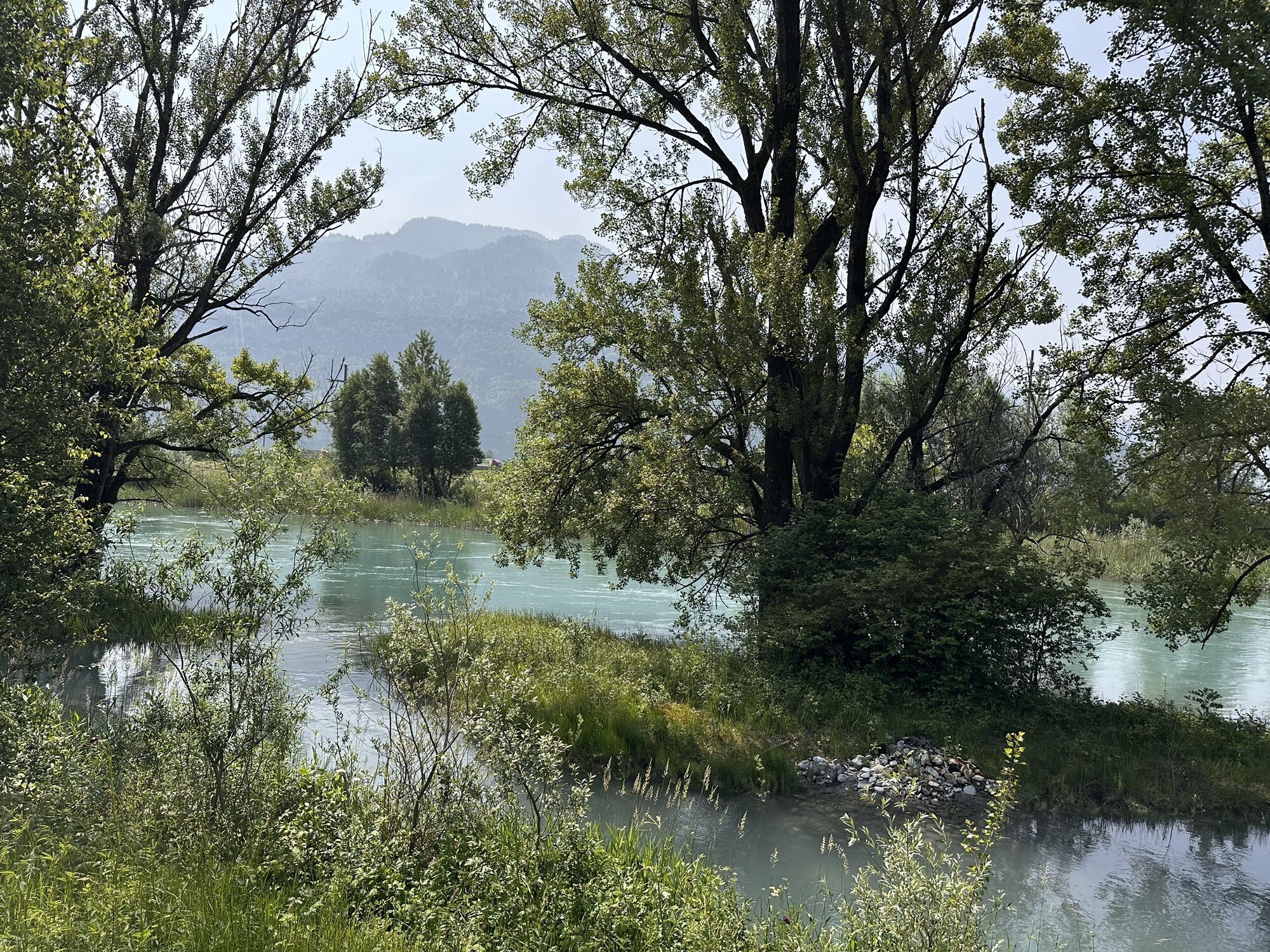
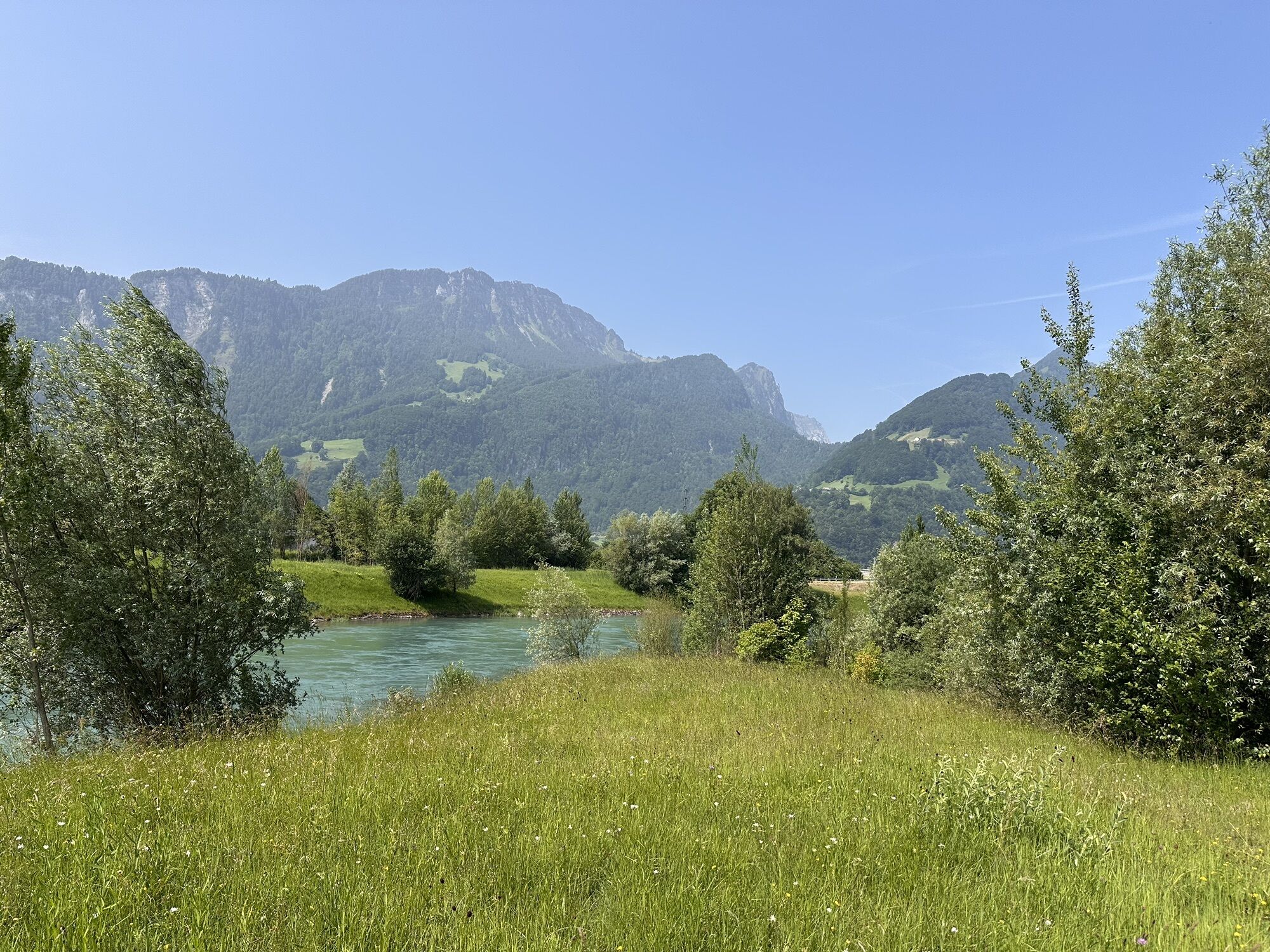
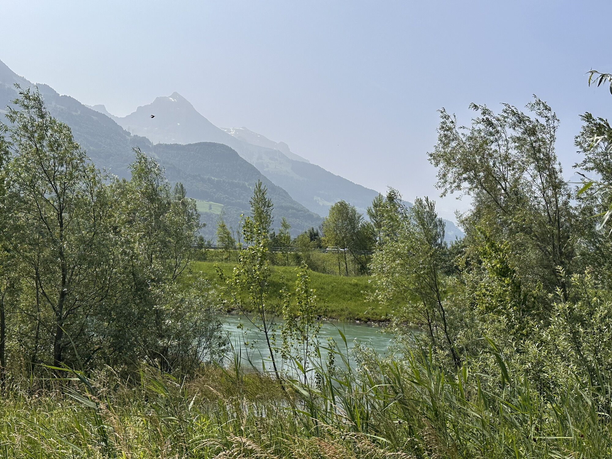
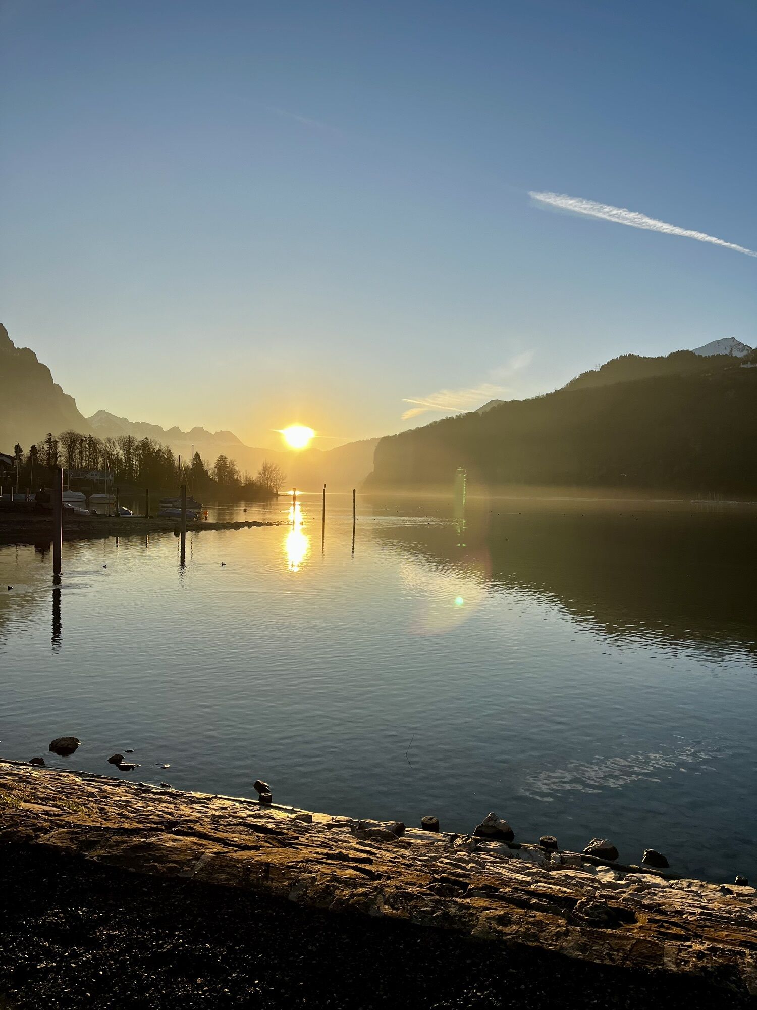
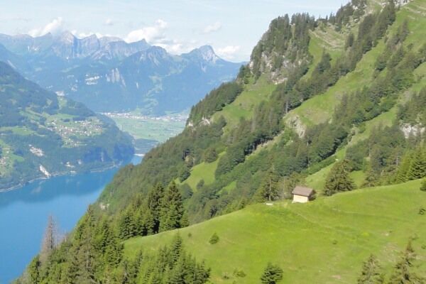
From Walenstadt, the route first leads on the mountain road to Walenstadtberg. At Schrina-Hochrugg, a detour to the temple-like artwork “Paxmal” is worthwhile. The work of Karl Bickel is based on the fundamental...
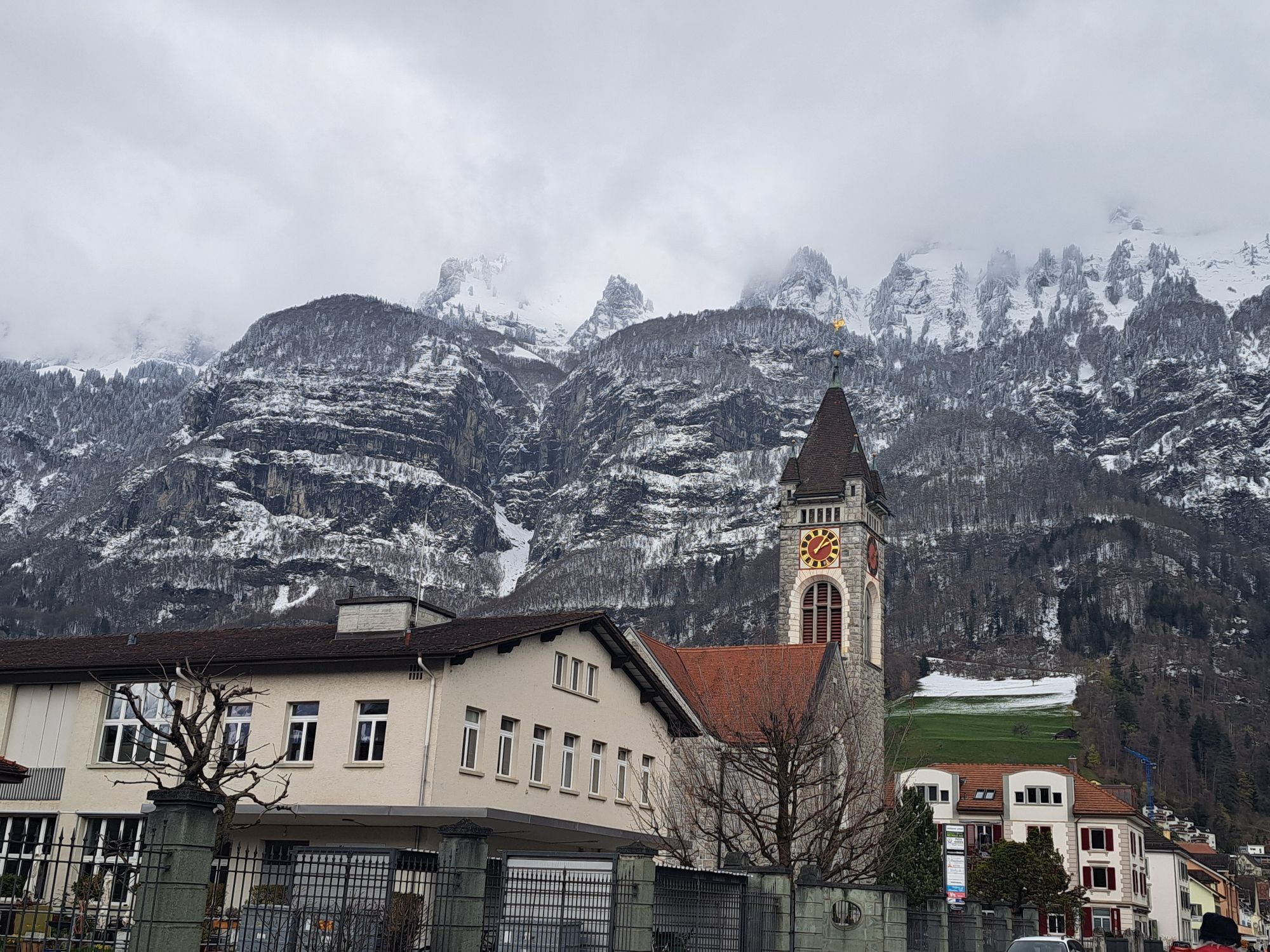
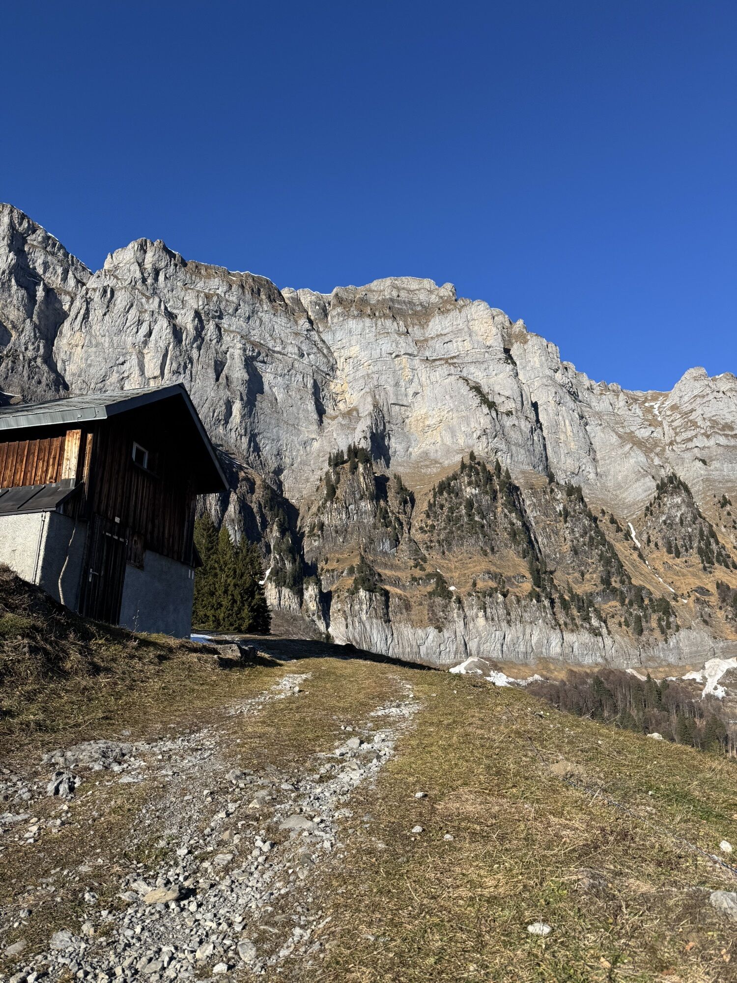
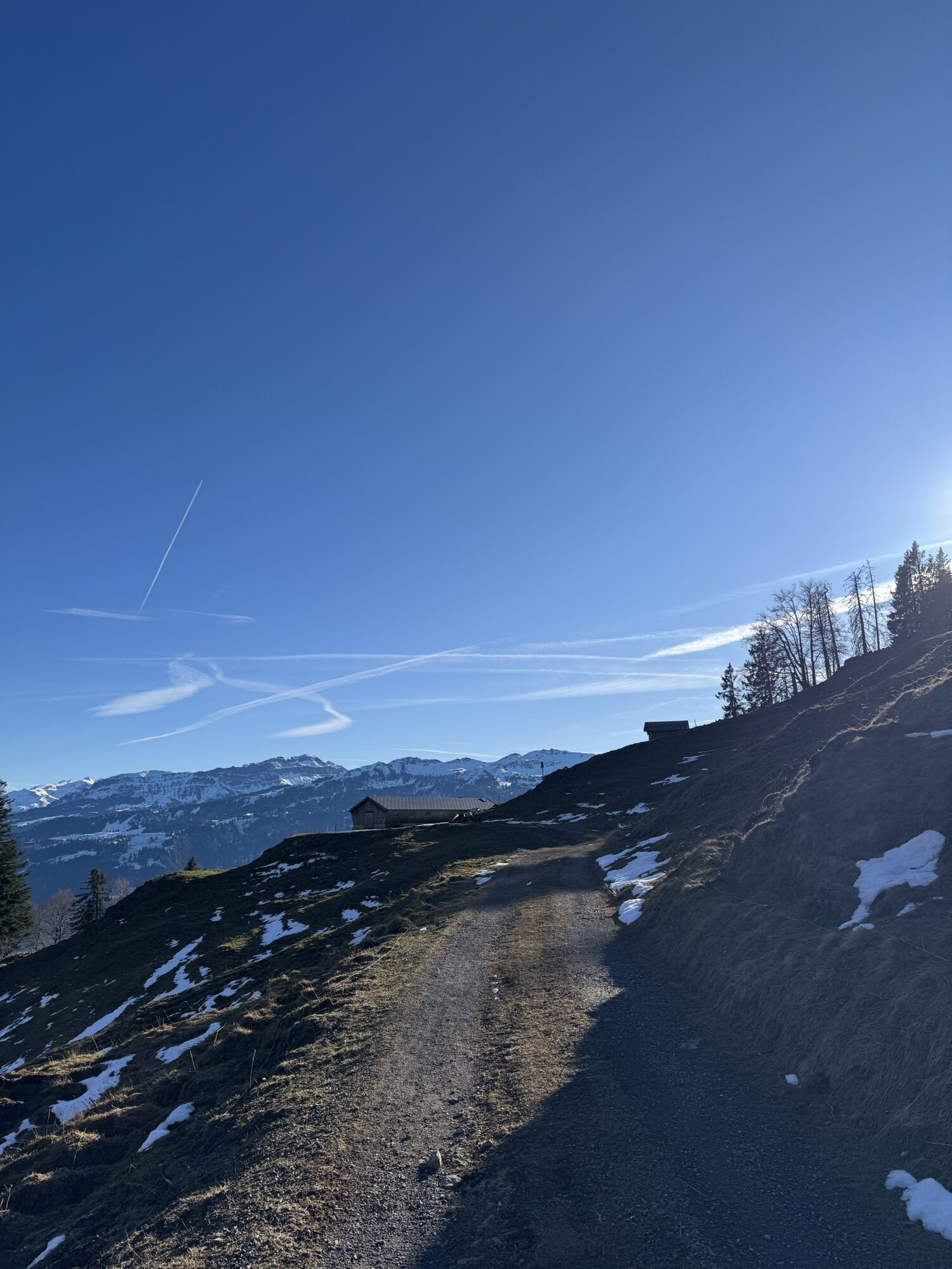
From Walenstadt, the route first leads on the mountain road to Walenstadtberg. At Schrina-Hochrugg, a detour to the temple-like artwork “Paxmal” is worthwhile. The work of Karl Bickel is based on the fundamental idea of peace. On natural roads directly below the Churfirsten, it continues to the Schwaldis and Säls alp.
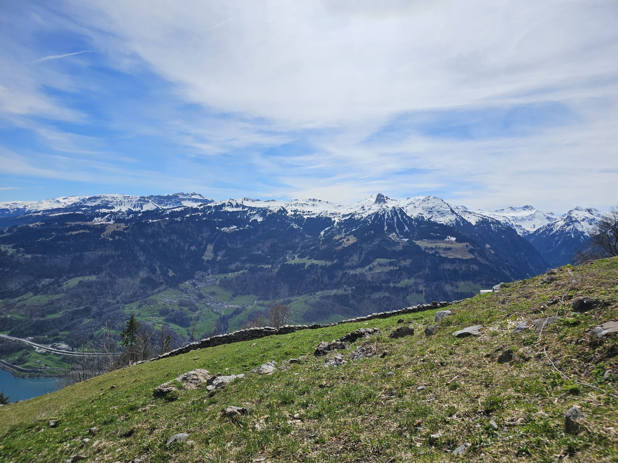
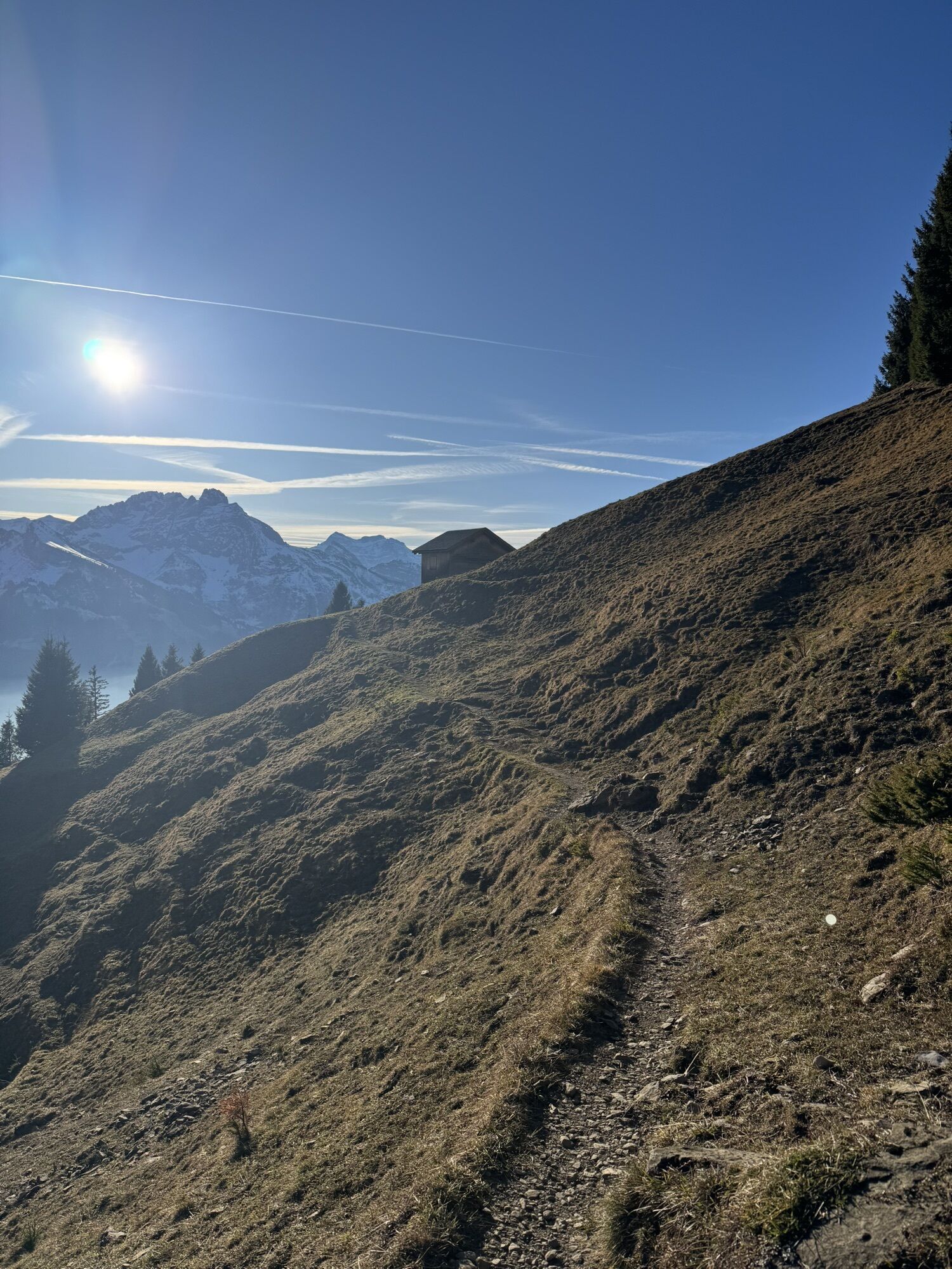
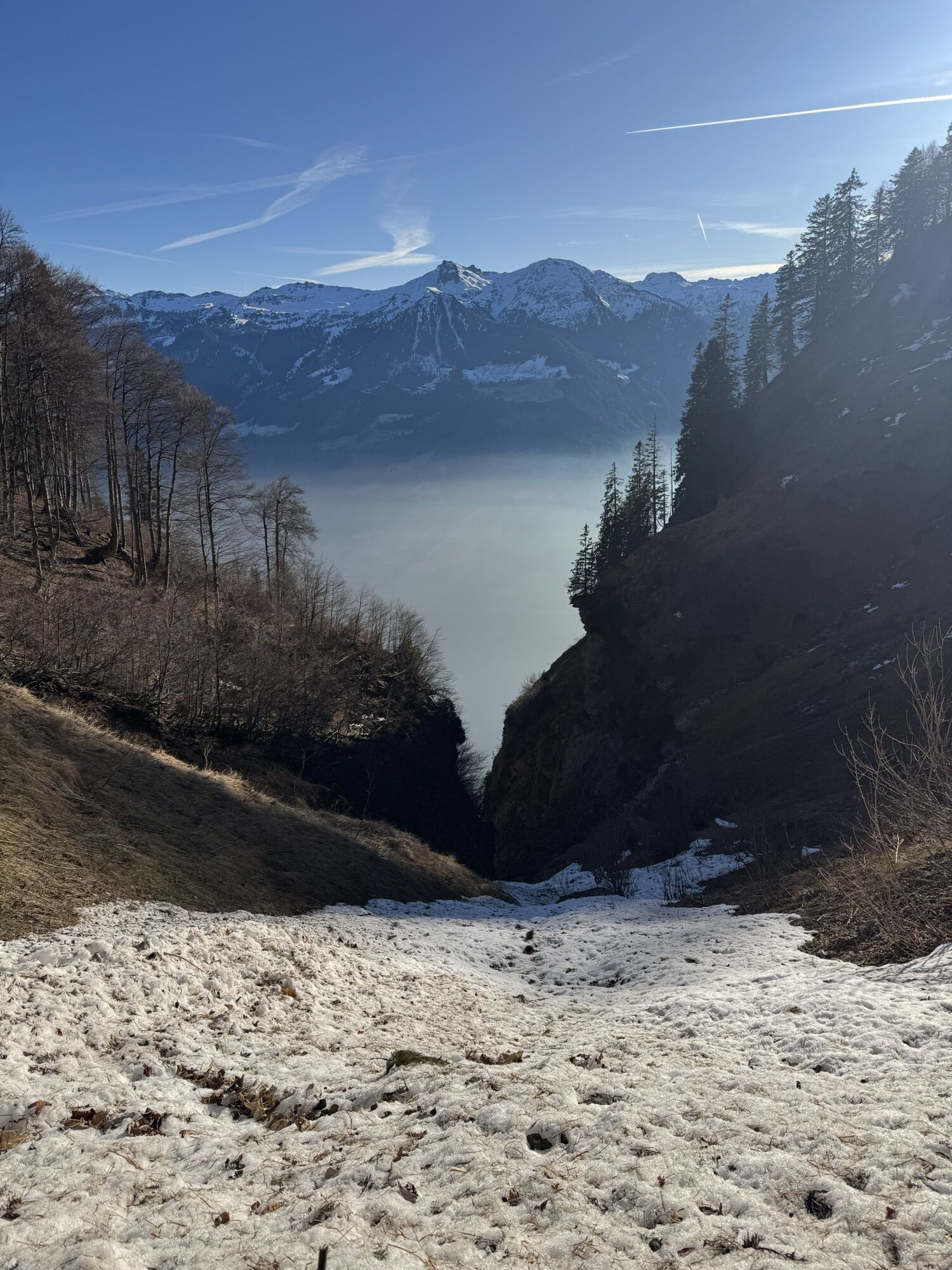
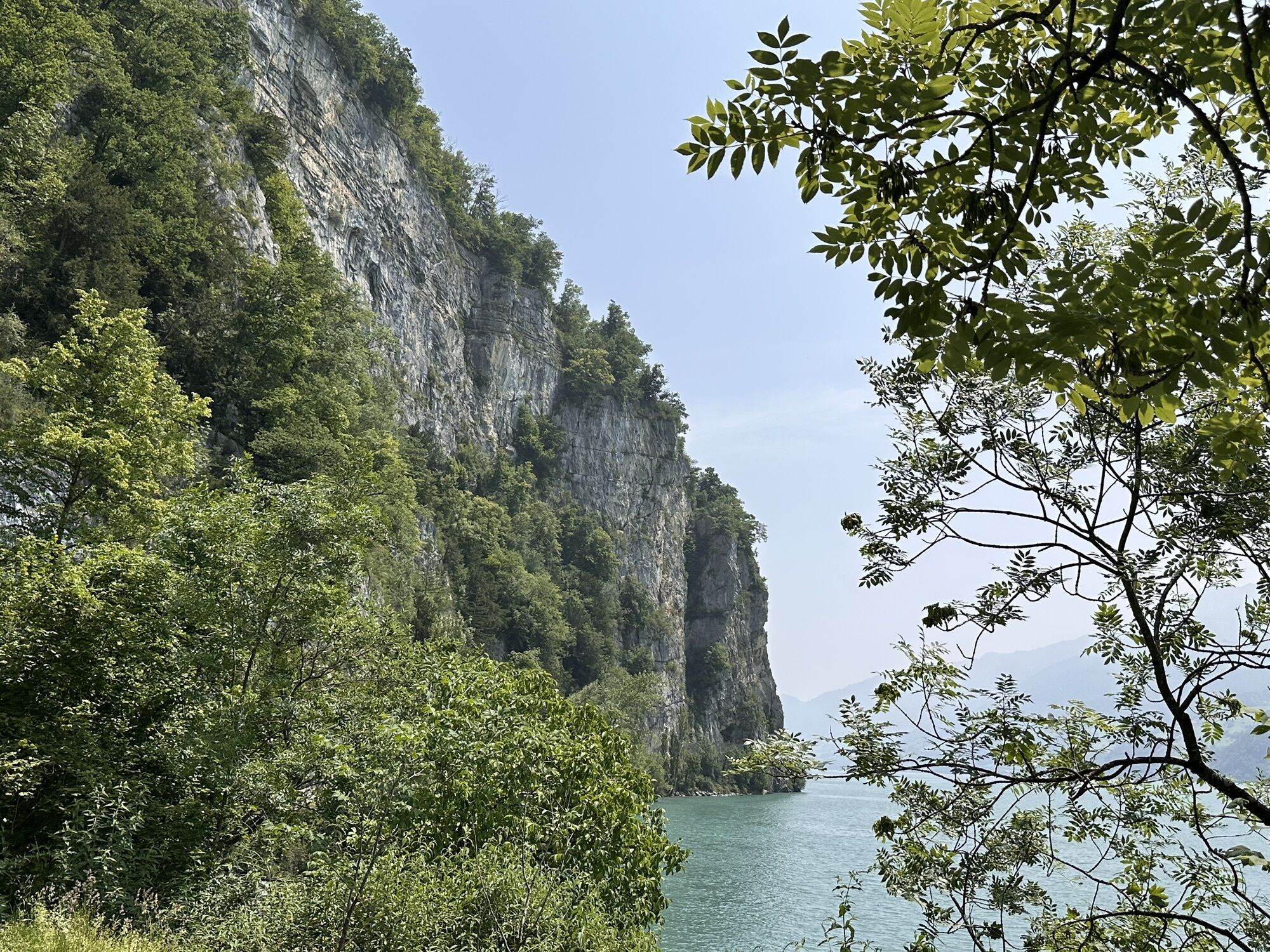
The route is easily rideable up to Säls. From this point, however, only technically skilled bikers should continue. The steep ascent with breathtaking views of the nearby rock walls and the lake is followed by a flat section before the first ravine is crossed on a rough and rocky path. After about a 10-minute push/carry section, the highest point is reached.
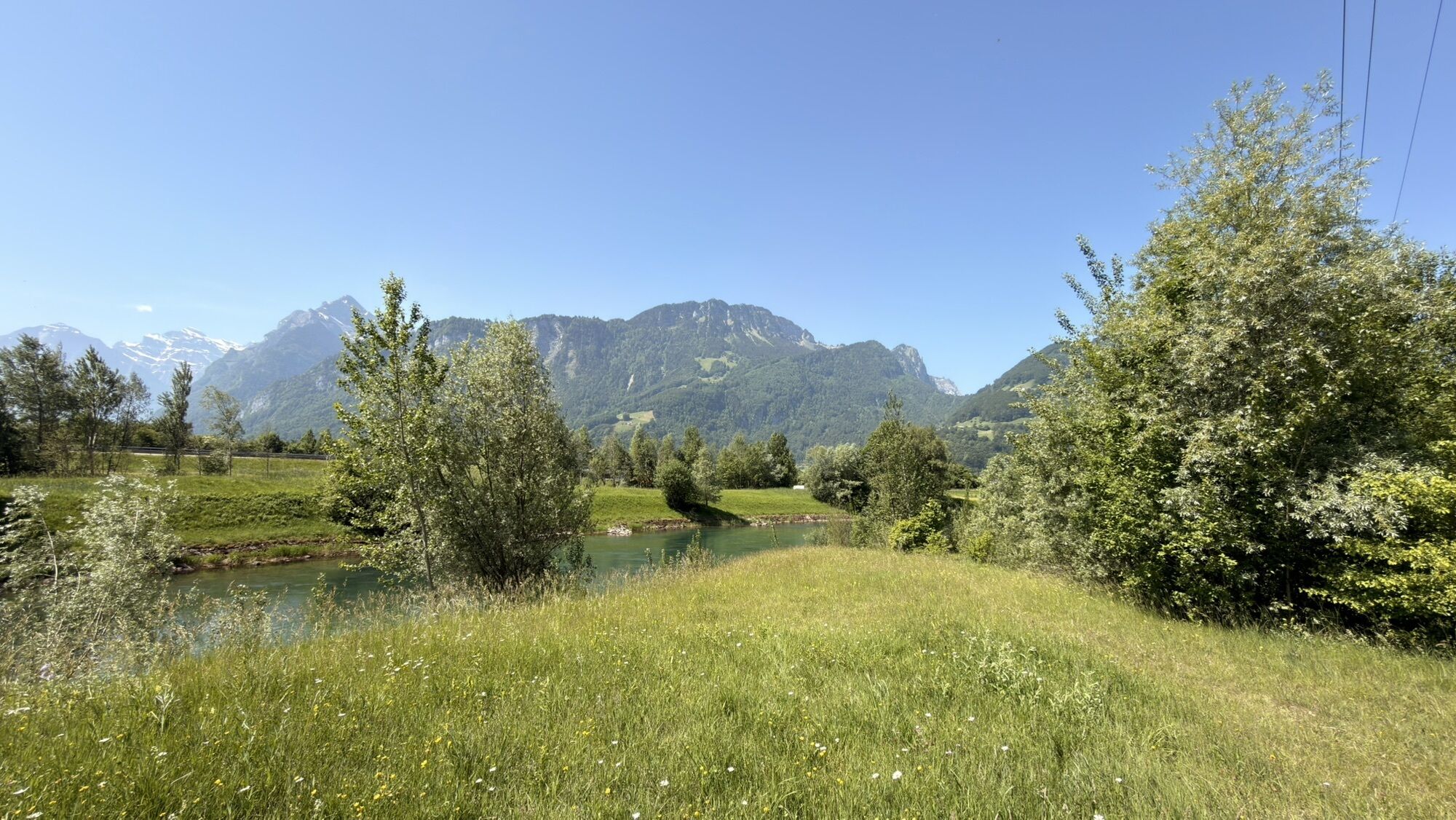
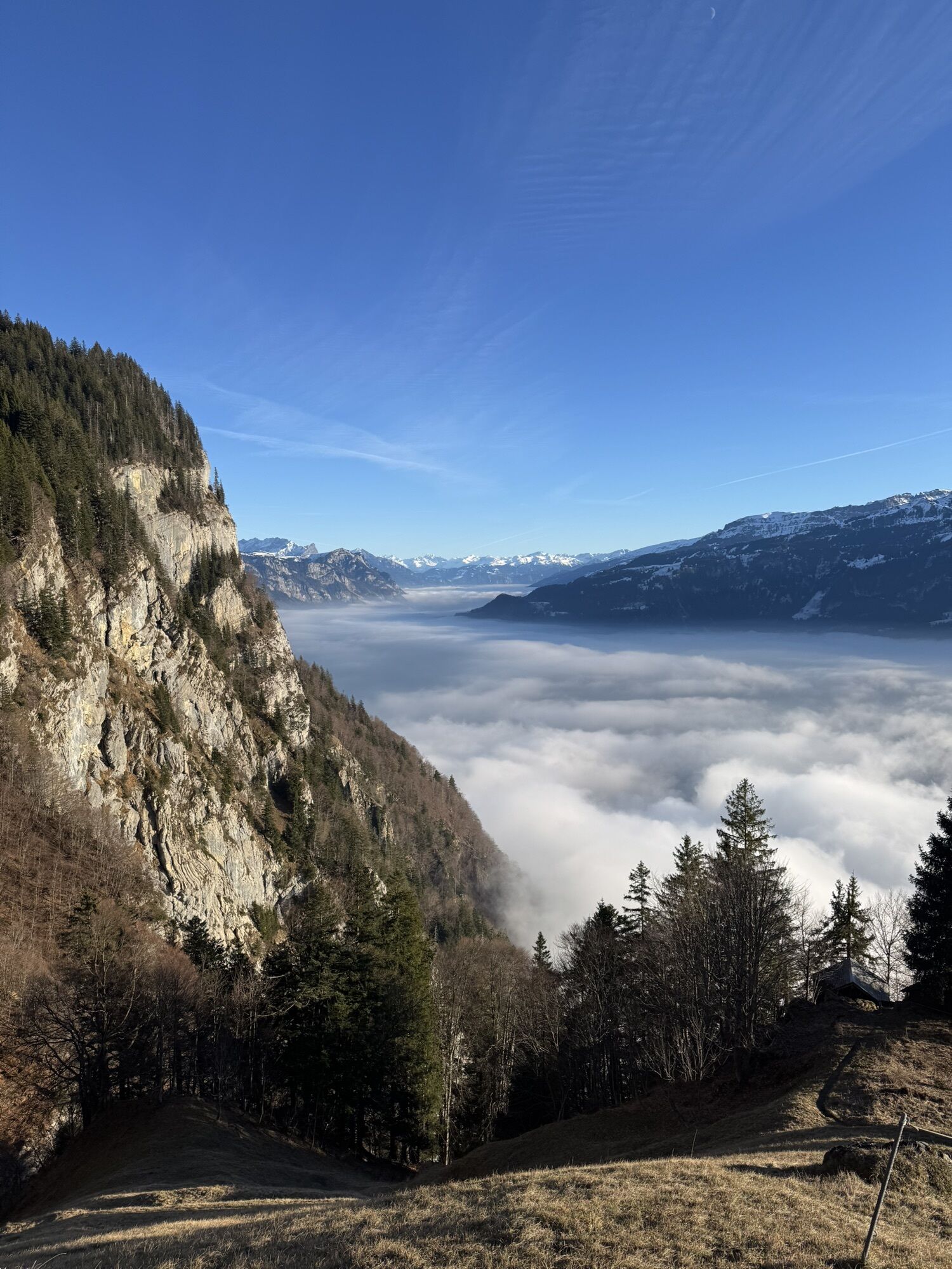
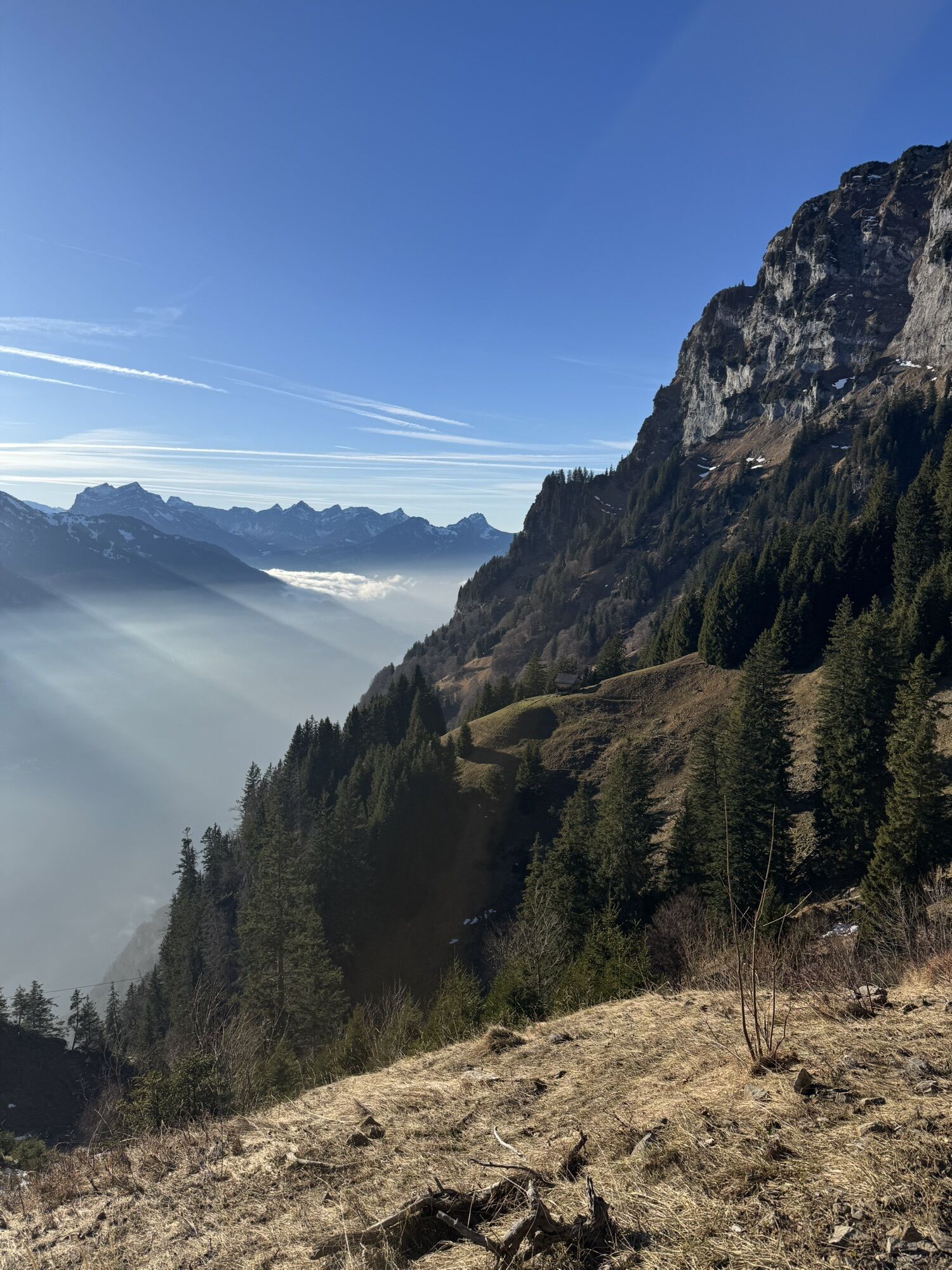
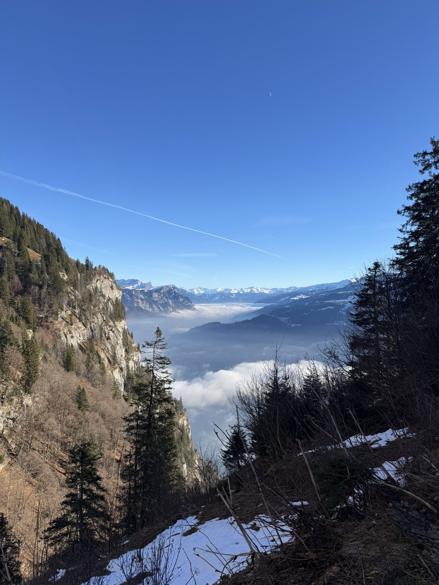
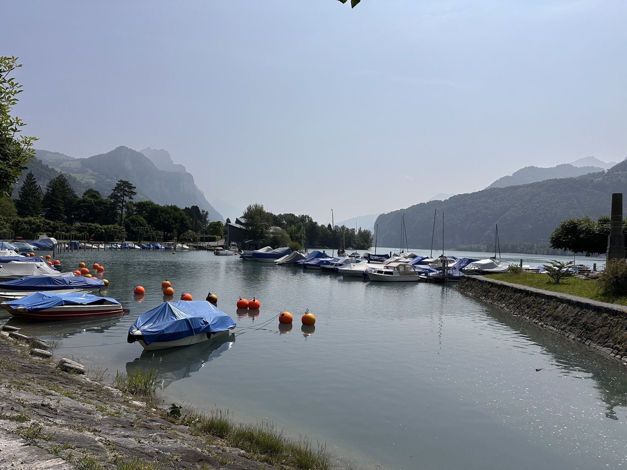
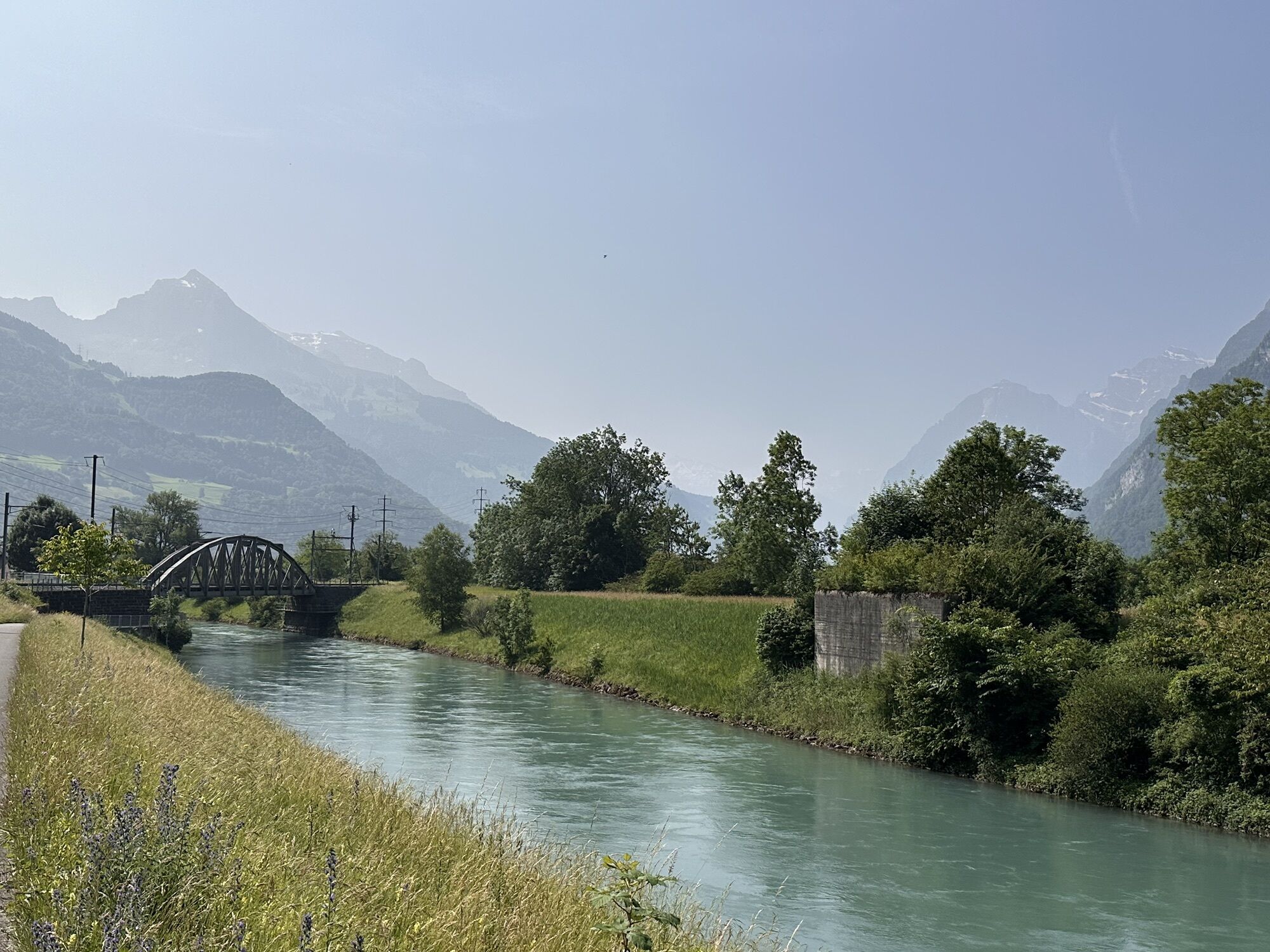
The following trail to Laubegg is narrow, partially exposed, and technically demanding. However, the panorama is unforgettable. The further descent includes a push section at the beginning but then becomes increasingly flowing, except for a rocky section shortly before Betlis. A detour to the Seerenbach waterfalls is highly recommended. From Betlis, follow the lakeside road to Weesen and then along the Linth to Ziegelbrücke.

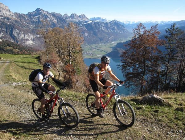
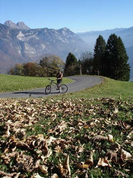
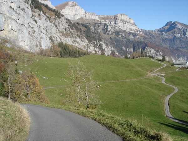
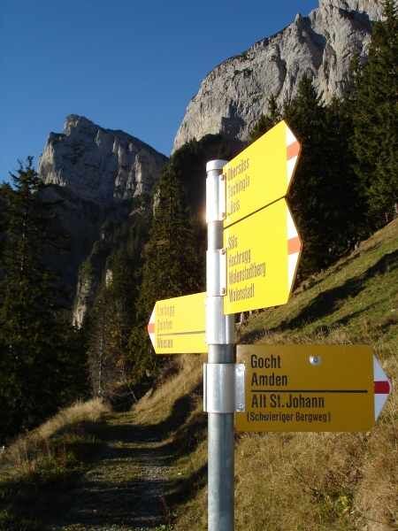
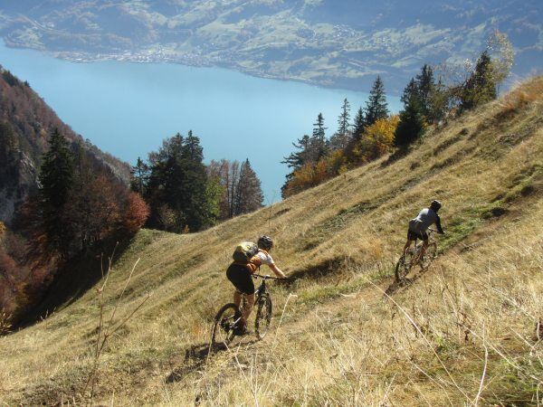
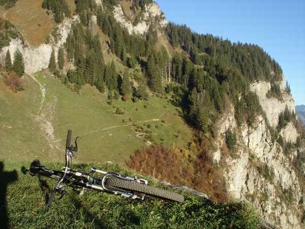
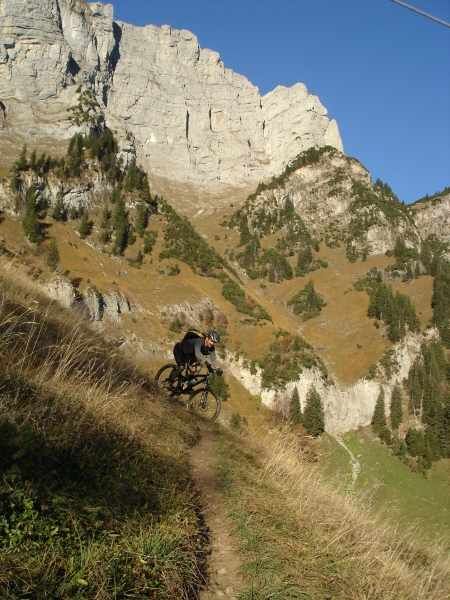

Walenstadt - Walenstadtberg - Laubegg - Betlis - Weesen - Ziegelbrücke
Normal bike equipment. Functional clothing is advantageous, as ascents and descents alternate.
The path from Alp Säls is very exposed, good bike handling skills are required.
For reasons of safety and wildlife protection, the section between Alp Säls and Laubegg may only be used from early May to the end of November between 9 a.m. at the earliest and 3 p.m. at the latest. The section between Alp Säls and Betlis is used simultaneously by hikers and mountain bikers. Therefore: ride considerately and give priority to hikers. To prevent erosion, only ride on existing paths and do not brake block. On difficult sections and in case of uncertainty, it is better to dismount and push.
Motorway exit Flums, continue on the main road towards Walenstadt until the station.
By train to Walenstadt, return journey from Ziegelbrücke station.
Public parking available at XX (subject to charge).
S2
One-way traffic applies from Betlis to Fly. This section may only be passed each hour from XX.15-XX.20 or from XX.45-XX.50.
Bikes and bicycles are not carried by the ship service in Quinten.
Heidiland Tourism, Flumserberg info point
T +41 81 720 18 18
www.heidiland.com
From the junction in Weesen, follow the SchweizMobil sign No. 2 towards Ziegelbrücke station (instead of No. 479).
Kamery internetowe z trasy

Popularne wycieczki w okolicy
-
4,8
Walensee Riviera Weesen - Quinten
średniWędrówka 10,2 km -
4,7
Riviera Lake Walen Walenstadt-Quinten
średniWędrówka 10,4 km -
4,6
Weesen - Quinten - Walenstadt
ciężkiWędrówka 20,6 km -
4,5
7-Peak Tour Flumserberg
ciężkiWędrówka 15,0 km -
4,9
Alpine and Cultural Trail Schrina
średniTrasa tematyczna 11,5 km -
4,6
4-Summit-Route Flumserberg
średniWędrówka 8,65 km -
4,9
Fronalpstock GL
średniWędrówka 7,84 km -
4,6
Amden - Speer (Rundkurs)
światłoWędrówka 17,6 km -
4,9
Quarten - Murgseehütte - Berggasthaus Murgsee - Glarus Nord
średniWędrówka 14,7 km -
4,8
Arvenbüel - Egg - Alp Looch - Leistchamm
średniWędrówka 11,4 km
Wędrówki i tropienie


Nie przegap ofert i inspiracji na następne wakacje
Twój adres e-mail została dodana do listy mailingowej.





